The best walks and hikes around Fahrni
4.6
(2279)
17,141
hikers
843
hikes
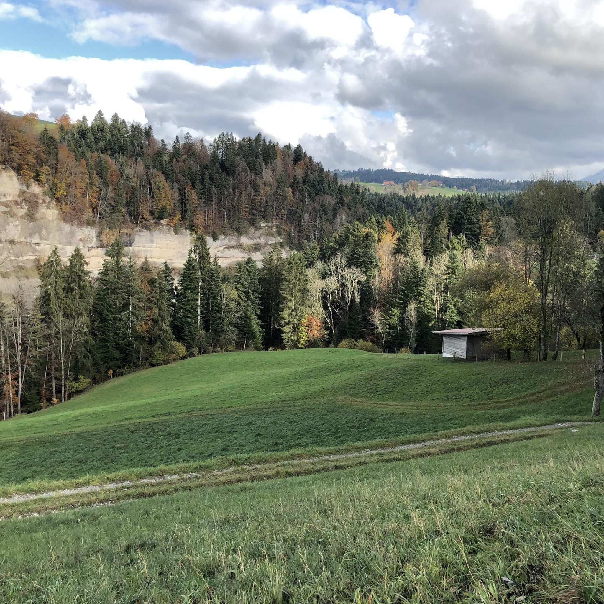
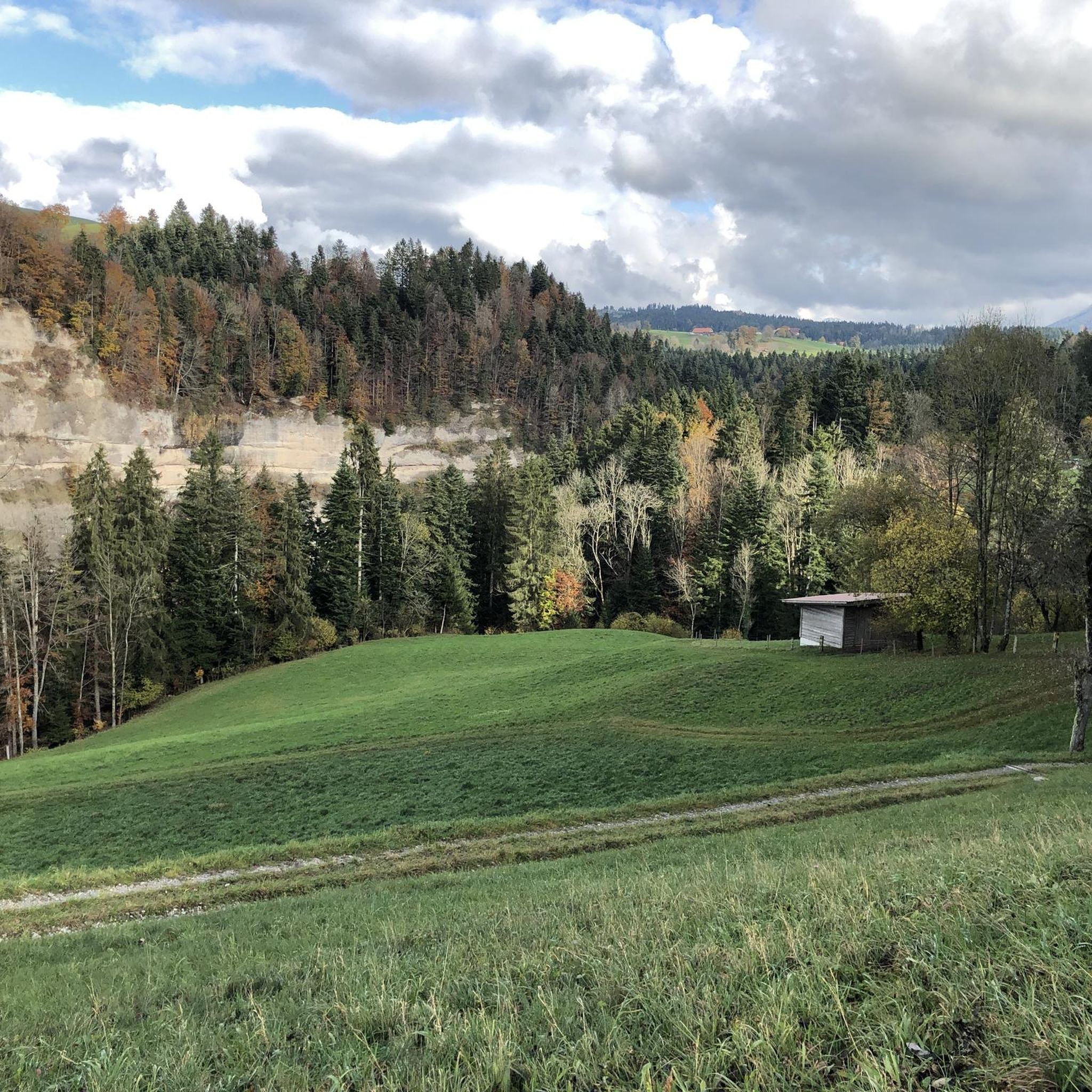
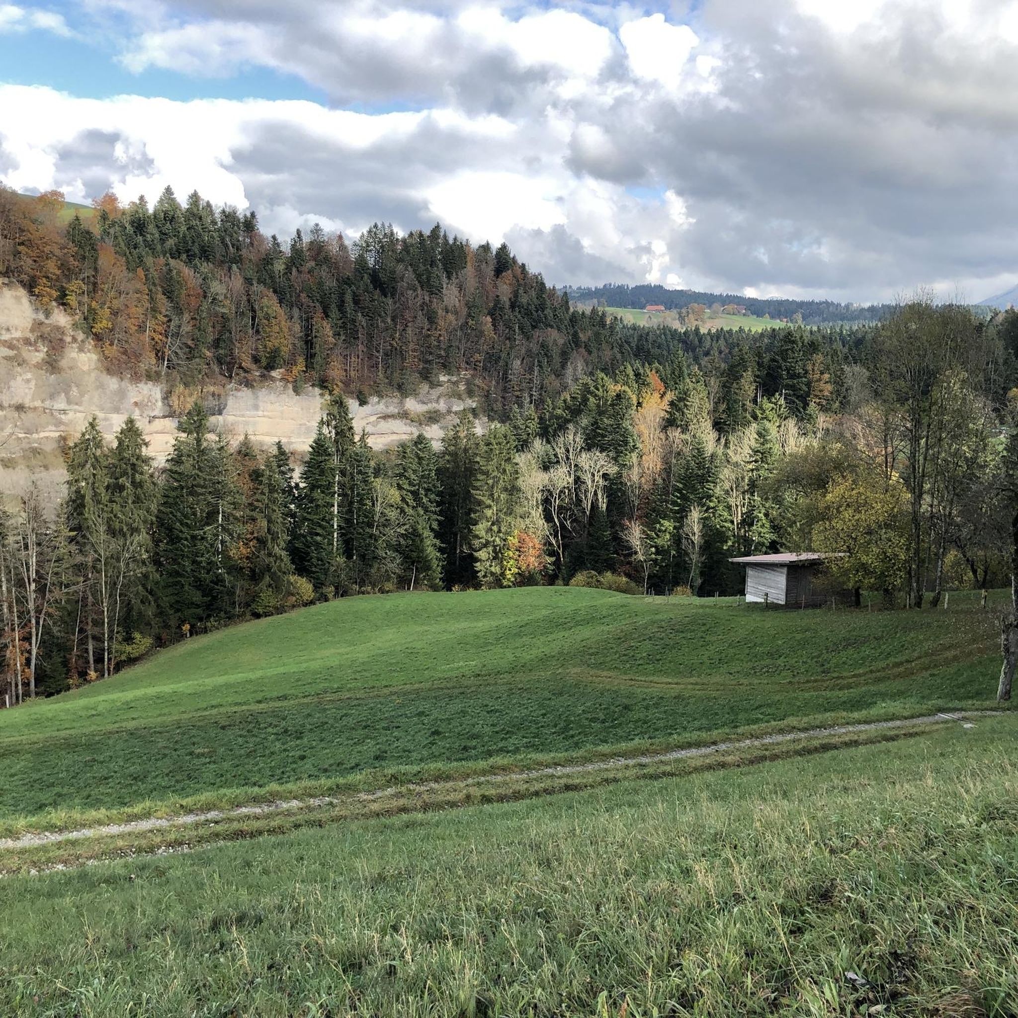
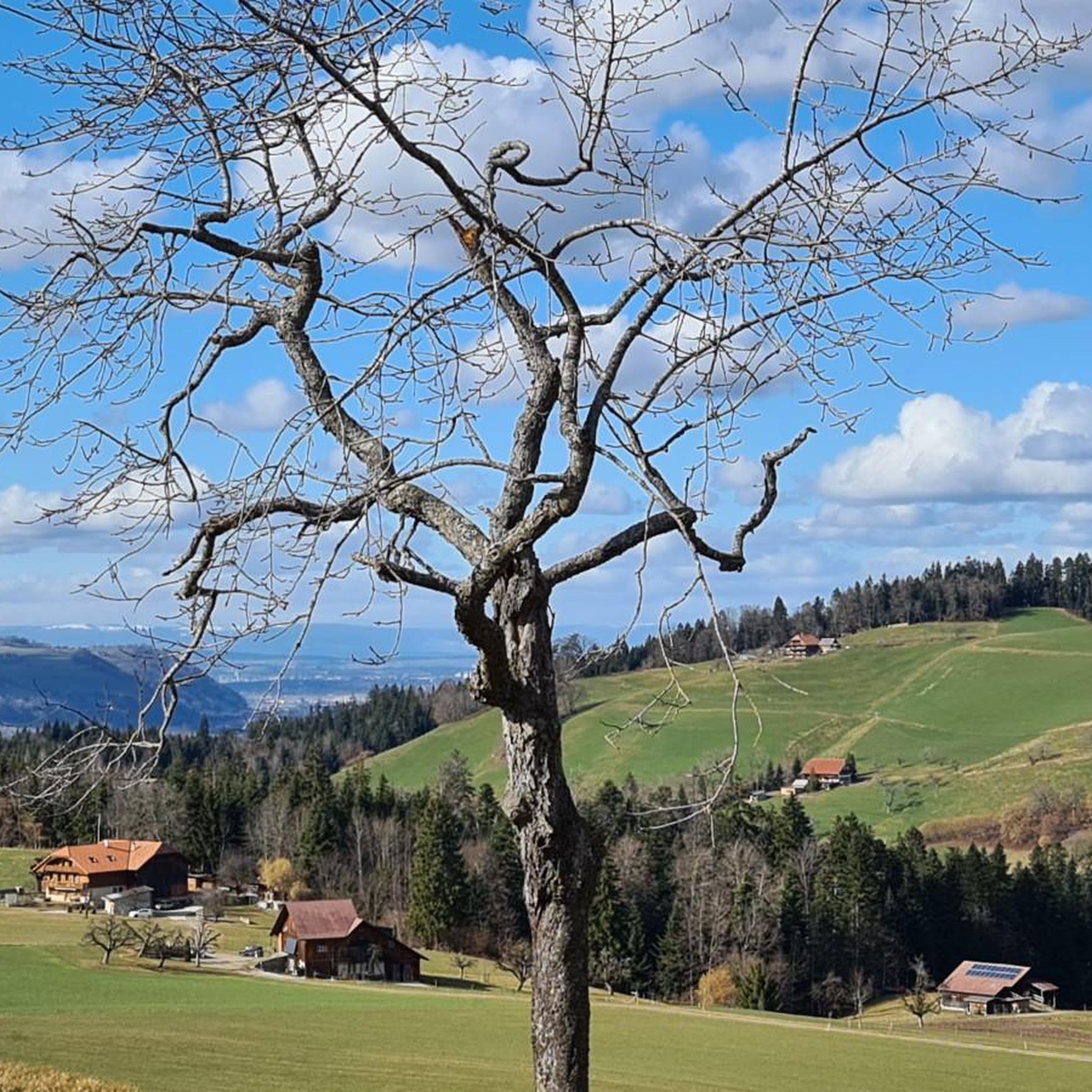
Hiking around Fahrni, a municipality in the canton of Bern, Switzerland, offers access to diverse landscapes within the administrative district of Thun. The region is characterized by panoramic views extending across the Bernese Alps, including distant views of the Jungfrau. Hikers can explore lush green pastures, the secluded Glütschbachtal stream, and areas offering views of Lake Thun.
Best hiking trails around Fahrni
- The most popular hiking route is Falkenfluh Viewpoint – Falkenfluh Viewpoint loop from Brenzikofen, a 3.9 miles…
Last updated: July 10, 2026
4.2
(14)
46
hikers
6.31km
02:05
280m
280m
Moderate hike. Good fitness required. Easily-accessible paths. Suitable for all skill levels.
4.9
(8)
41
hikers
7.62km
02:22
300m
300m
Moderate hike. Good fitness required. Easily-accessible paths. Suitable for all skill levels.

Sign up for free
5.0
(8)
41
hikers
4.74km
01:20
100m
100m
Easy hike. Great for any fitness level. Easily-accessible paths. Suitable for all skill levels.
5.0
(3)
21
hikers
3.20km
00:58
90m
90m
Moderate hike. Great for any fitness level. Mostly accessible paths. Sure-footedness required.
3.0
(1)
17
hikers
5.04km
01:40
240m
240m
Easy hike. Great for any fitness level. Easily-accessible paths. Suitable for all skill levels.
Get access to more routes and recommendations from other explorers.
Sign up for free
Already have an account?
Our route recommendations are based on thousands of hikes, rides, and runs completed by other people on komoot.
Start today with a free account
Your next adventure awaits.
Login or Signup
Tips from the Community

The climb to Falkenfluh is worthwhile even in winter.
1
0

The Aeschlenalp above Heiligenschwendi/Schwarzenegg is a real insider tip for anyone seeking peace, nature, and views 🌿🐄. Surrounded by rolling hills, forests, and mountain meadows, it offers an idyllic alpine landscape with panoramic views of the Aare Valley, Lake Thun, and, on clear days, even as far as the Eiger, Mönch, and Jungfrau ⛰️👀. Accessibility: On foot or by bike from Heimenschwand, Schwarzenegg (approx. 1.5–2.5 hours, depending on the route). Easily accessible via forest paths – ideal for hikers and mountain bikers 🥾🚵♂️. Highlights: ✅ Peace & quiet ✅ Grazing cows & typical alpine atmosphere 🐮 ✅ Views of the Bernese Oberland & Emmental ✅ In summer: Fresh alpine cheese directly from the alp (depending on the season) 🧀 Recommendation: Perfect for a half-day or after-work hike, with a picnic on the meadow and sunset over Lake Thun 🌅.
1
0


Superb panorama from the edge of the forest towards Thun and its lake. The immense peaks of the mountains tower on the horizon.
0
0

A crisp climb is rewarded with a great view 👌
0
0
Nice trail through the forest to Bleiken
0
0
Beautiful view towards the Stockhorn chain
0
1
Frequently Asked Questions
How many hiking trails are available around Fahrni?
Fahrni offers a wide variety of hiking opportunities, with over 800 routes available. These range from easy strolls to more challenging trails, ensuring options for every fitness level.
What kind of views can I expect on hikes near Fahrni?
Hikers in Fahrni are treated to magnificent panoramic views. You can expect to see the majestic Bernese Alps, including distant glimpses of the Jungfrau, as well as expansive views across the Mittelland and Lake Thun. Some trails also offer views of Lake Brienz.
Are there any easy hikes with scenic views suitable for a relaxed outing?
Yes, there are numerous easy trails that offer beautiful scenery. For instance, the View of the Bernese Alps – View of Lake Thun loop from Fahrni is an easy 4.7 km route that provides lovely vistas of the Bernese Alps and Lake Thun, typically taking around 1 hour 20 minutes.
Are there any circular walks in the Fahrni area?
Many of the trails around Fahrni are designed as circular routes, allowing you to start and end at the same point. A good example is the Hiking loop from Fahrni, a moderate 3.2 km trail that can be completed in under an hour.
What natural features or landmarks can I explore while hiking?
The region boasts several notable natural features. You can explore the picturesque and secluded Glütschbachtal stream and its grottos, which offer romantic resting spots and picnic areas. The Rotache Gorge is another scenic highlight, featuring the Rotache Waterfall. For impressive panoramic views, consider trails leading towards the Sigriswiler Rothorn.
Are there any waterfalls to visit near Fahrni?
Yes, the area features beautiful waterfalls. The Rotache Gorge is home to the Rotache Waterfall, which is a popular natural attraction. You can also find the Zulgschwelle waterfall nearby.
What historical attractions or castles are close to Fahrni?
Fahrni is conveniently located near several historical sites. The charming town of Thun, with its historic Thun Old Town and Castle, offers magnificent views and cultural significance. Further afield, you can visit Schadau Castle and Oberhofen Castle, both offering splendid views over Lake Thun.
What do other hikers say about the trails in Fahrni?
The hiking trails in Fahrni are highly regarded by the komoot community, with an average rating of 4.6 stars from over 2000 reviews. Hikers often praise the diverse landscapes, from panoramic mountain views to serene stream valleys, and the well-maintained paths.
Is Fahrni a good destination for family-friendly hikes?
Absolutely. The region offers many family-friendly options. The Glütschbachtal, with its meandering stream, grottos, and extensive picnic areas with fire pits, is particularly popular with families. The Blauseeli near Uttigen is another favored spot, known for its shallow waters and barbecue sites.
What is the best time of year to go hiking in Fahrni?
Fahrni benefits from a mild climate and abundant sunshine, making it an excellent hiking destination throughout much of the year. Spring and autumn offer pleasant temperatures and vibrant scenery, while summer provides lush green landscapes. Even in winter, some trails are suitable for snowshoeing or winter walks, though conditions should always be checked.
Are there challenging hiking routes for experienced hikers?
While many trails are easy to moderate, there are options for more experienced hikers. The ascent along the ridge of the Sigriswiler Rothorn, for example, demands surefootedness and a head for heights, especially in wet conditions, but rewards with spectacular 360° panoramas.
Are there options for public transport to access hiking trails in Fahrni?
Fahrni is part of the well-connected Swiss public transport network. Many trailheads are accessible by bus or train, particularly those originating from nearby towns like Thun or Brenzikofen. It's advisable to check local transport schedules for specific routes.
Are there places to stop for a picnic or a meal along the trails?
Yes, the area is well-equipped for breaks. The Glütschbachtal offers extensive picnic areas with tables and fire pits. The Blauseeli near Uttigen also has official barbecue sites. Additionally, many villages and towns along or near hiking routes, such as Thun or Spiez, offer cafes and restaurants.
Most popular attractions around Fahrni

Get inspired with the komoot mobile app


Explore more
Browse the best Hikes in other regions.
