The best MTB trails around Fahrni
4.5
(1640)
10,533
riders
405
rides
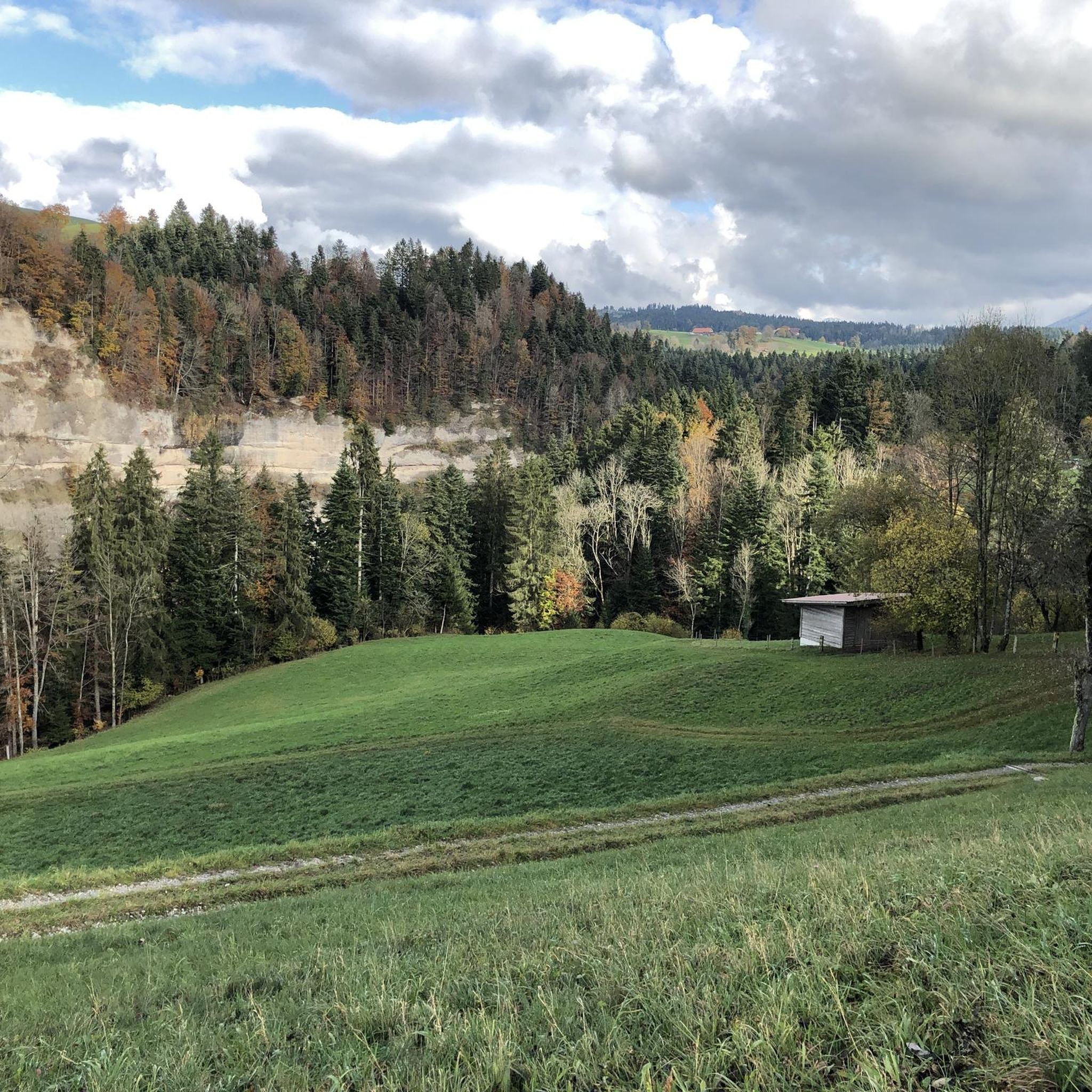
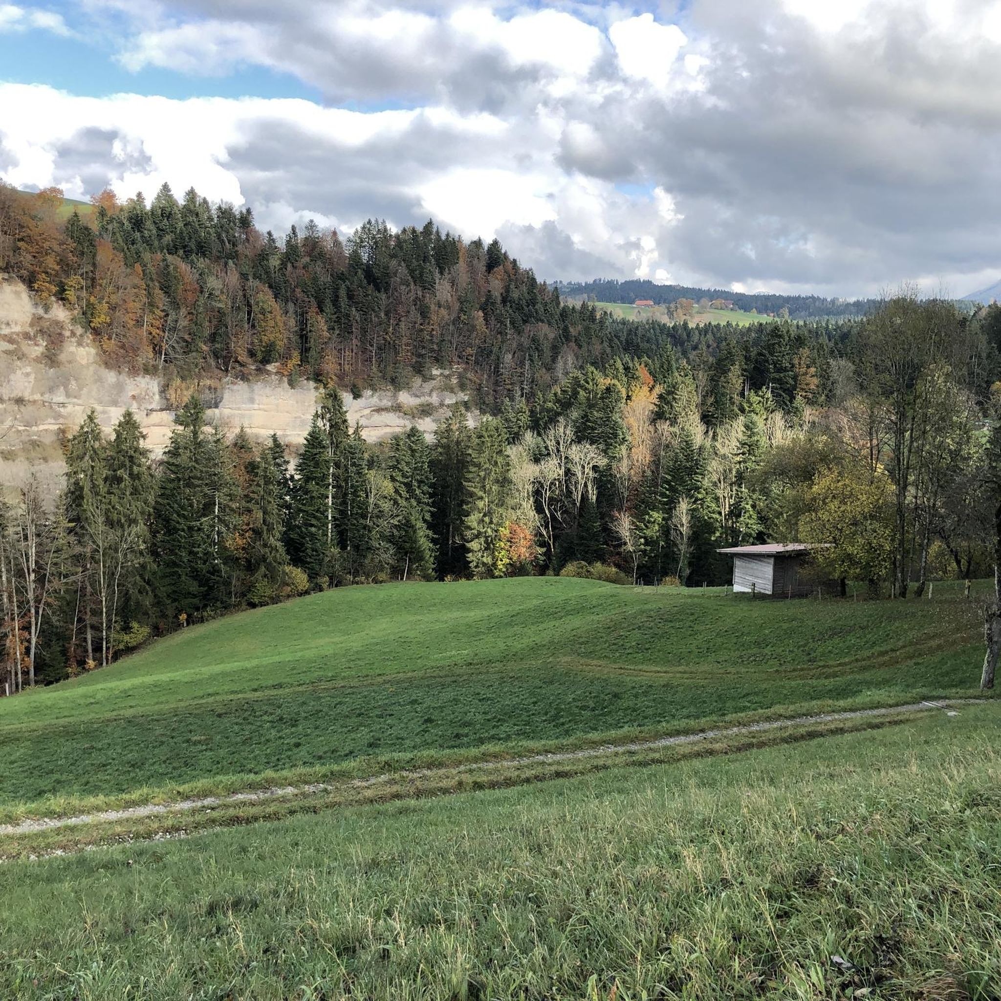
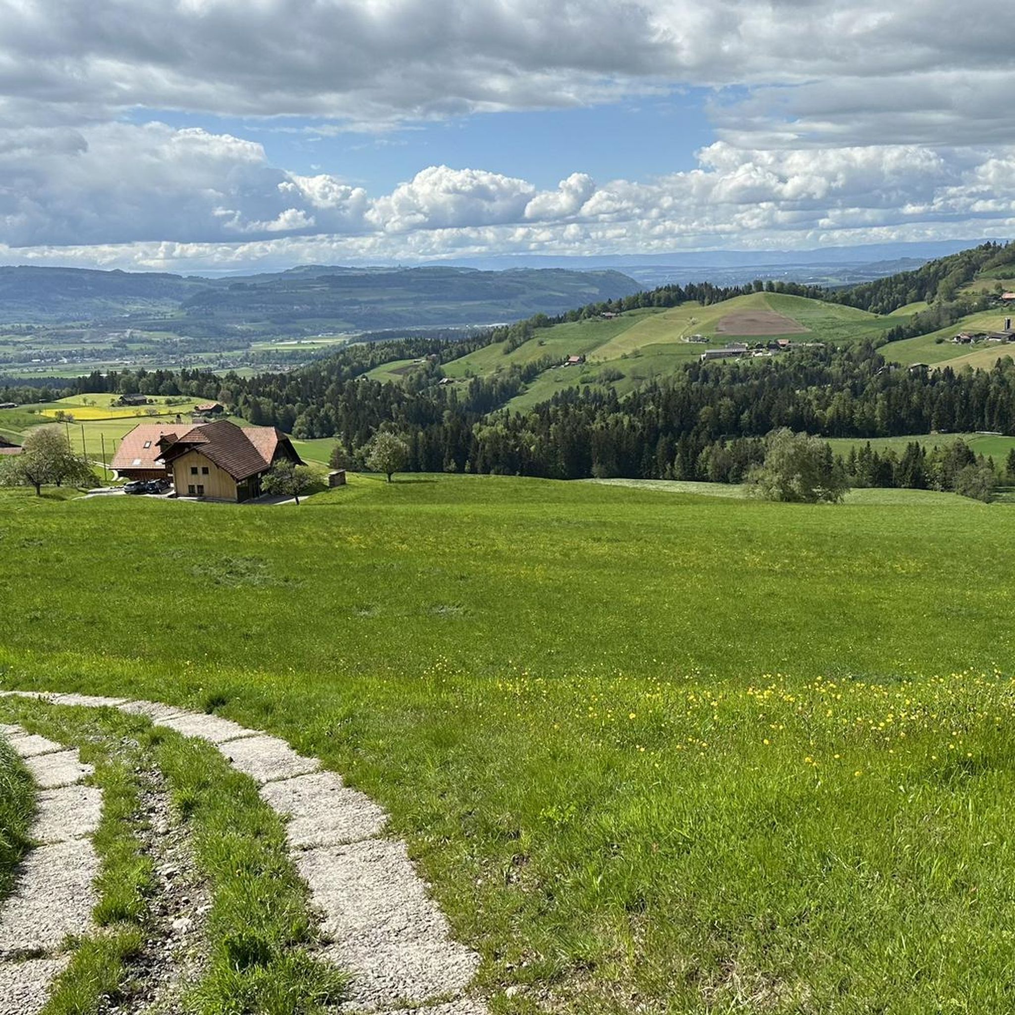
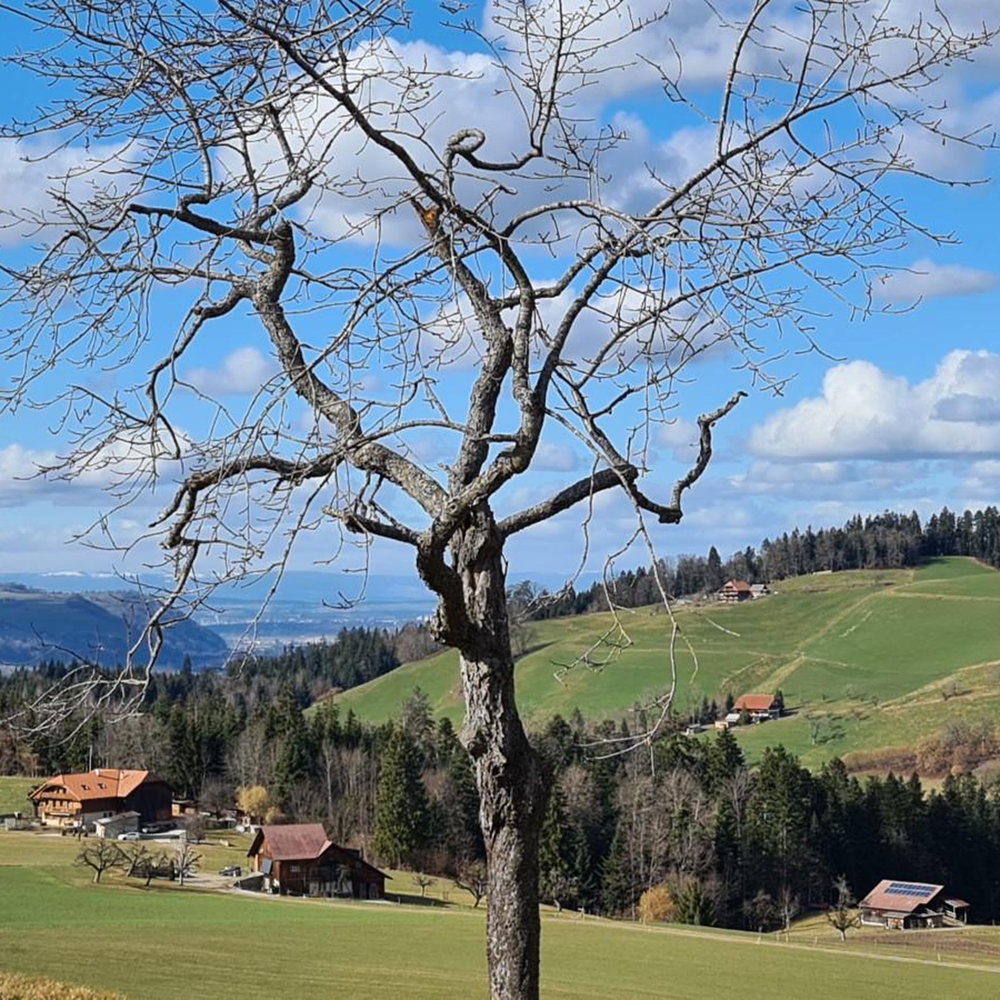
Mountain bike trails around Fahrni are characterized by diverse natural beauty, offering a range of landscapes for outdoor enthusiasts. The region features impressive mountain peaks, forested valleys, and picturesque streams like the Glütschbachtal. Riders can experience panoramic views of the Bernese Alps, including the Eiger, Mönch, and Jungfrau mountains, as well as Lake Thun. The terrain includes both paved and unpaved surfaces, providing varied riding conditions.
Best mountain bike trails around Fahrni
- The most popular mountain bike trail is Forest…
Last updated: June 28, 2026
4.8
(12)
103
riders
32.9km
03:20
1,000m
1,000m
Hard mountain bike ride. Very good fitness required. Advanced riding skills necessary.
5.0
(3)
108
riders
9.92km
01:12
430m
430m
Moderate mountain bike ride. Good fitness required. Advanced riding skills necessary.

Sign up for free
5.0
(4)
34
riders
24.5km
01:51
310m
310m
Moderate mountain bike ride. Good fitness required. Suitable for all skill levels.
5.0
(5)
49
riders
5.79km
00:40
240m
240m
Easy mountain bike ride. Great for any fitness level. Suitable for all skill levels.
4.4
(7)
44
riders
39.4km
03:12
770m
770m
Moderate mountain bike ride. Good fitness required. Advanced riding skills necessary.
Get access to more routes and recommendations from other explorers.
Sign up for free
Already have an account?
Our route recommendations are based on thousands of hikes, rides, and runs completed by other people on komoot.
Start today with a free account
Your next adventure awaits.
Login or Signup
Tips from the Community

A steep, approximately 50m long, rutted gully! Not for the faint of heart or rainy days!
0
0

Cool trail, varied and not too difficult.
0
0
Beautiful place, with beautiful views! Afterwards, there are also some easy, challenging trails.
0
1

Very nice barbecue area with a view
0
0

A beautiful approach (from Linden) and a magnificent view.
0
0

After a strenuous climb you will be rewarded with a great view
0
0
Beautiful view of Thun and the mountains
0
0

Frequently Asked Questions
How many mountain bike trails are there around Fahrni?
Fahrni offers a comprehensive network of over 400 mountain bike trails. This includes 82 easy routes, 248 moderate trails, and 85 difficult options, ensuring a suitable ride for every skill level.
Are there easy mountain bike trails suitable for beginners or families in Fahrni?
Yes, Fahrni has over 80 easy mountain bike trails, many of which are suitable for beginners or families. These routes often feature less challenging terrain and can be a great way to explore the region's natural beauty at a relaxed pace. For a shorter, easier option, consider the Rabenfluh Trail Start – End of the Strecke Trail loop from Thun, which is just under 6 km.
What kind of terrain can I expect on mountain bike trails in Fahrni?
The mountain bike trails in Fahrni feature diverse terrain, ranging from paved sections to unpaved paths. You'll encounter forest singletracks, open landscapes, and varied surfaces that cater to different riding preferences. The region's natural beauty includes impressive mountain peaks, deep canyons, and picturesque streams, all contributing to a dynamic riding experience.
What are some scenic mountain bike trails with good viewpoints in Fahrni?
Many trails in Fahrni offer breathtaking panoramic views. The region is known for vistas of the Bernese Alps, including the iconic Eiger, Mönch, and Jungfrau mountains, as well as Lake Thun. The Güggel Viewpoint – Ringgis Viewpoint loop from Brenzikofen is a moderate route that provides excellent scenic opportunities.
Are there any mountain bike trails that are circular routes in Fahrni?
Yes, many mountain bike trails around Fahrni are designed as circular routes, allowing you to start and end at the same point. Examples include the challenging Forest singletrack trail – Güggel Viewpoint loop from Brenzikofen and the moderate Rabenfluh Trail Start – Start of Rabenfluh Trail loop from Thun.
What natural attractions or landmarks can I see along mountain bike trails in Fahrni?
Fahrni's trails often pass by or near several natural attractions. You can explore the picturesque Glütschbachtal Stream and its grottos, or visit the Blauseeli near Uttigen, a ground-fed lake popular with families. For specific points of interest, consider visiting the Blueme Observation Tower for expansive views, or the Glütschbachtal Rocky Stream and Cliff.
Are there any specific mountain bike parks or technical trails in the Fahrni area?
Yes, for those seeking more technical riding, the Fahrni area has dedicated trails and features. You can find options like the Tannzäpfu Trail, the Goldiwheel Trail – UHU & Ried Section, and the Rabenfluh Trail. These are often part of larger bike park areas around Fahrni.
What do other mountain bikers enjoy most about riding in Fahrni?
The mountain biking community highly rates the trails in Fahrni, with an average score of 4.5 stars from over 1500 reviews. Riders often praise the diverse natural beauty, the panoramic views of the Bernese Alps and Lake Thun, and the variety of routes available for different skill levels. The mix of forest singletracks and open paths is also frequently highlighted.
Are there challenging mountain bike routes for experienced riders in Fahrni?
Absolutely. Fahrni offers a selection of difficult mountain bike routes designed for experienced riders with very good fitness. These trails often feature significant elevation gain and technical sections. A demanding option is the Schwarzenegg Church – Schallenberg Pass loop from Unterlangenegg, which covers nearly 40 km with substantial climbing.
Can I find mountain bike trails that are less than 30 km in Fahrni?
Yes, there are many mountain bike trails in Fahrni that are less than 30 km. For example, the moderate Rabenfluh Trail Start – Start of Rabenfluh Trail loop from Thun is just under 10 km, and the easy Rabenfluh Trail Start – End of the Strecke Trail loop from Thun is only 5.8 km, perfect for shorter rides.
What is the best time of year to go mountain biking in Fahrni?
The region around Fahrni is generally best for mountain biking during the warmer months, typically from spring through autumn, when trails are clear of snow and weather conditions are most favorable. This allows for full enjoyment of the diverse landscapes and panoramic views. Winter riding options may be limited due to snow and ice at higher elevations.
Most popular attractions around Fahrni

Get inspired with the komoot mobile app


Explore more
Browse the best MTB trails in other regions.
