The 8 Most Amazing Peaks around Forst Detter-Süd
Best mountain peaks around Forst Detter-Süd are found within this unincorporated forested area in the Bavarian Rhön, Germany. The region is primarily characterized by its wooded terrain. While the highest elevation reaches 428 meters above sea level, the area does not feature prominent named peaks typically associated with mountain climbing. Instead, visitors can explore a landscape dominated by forests.
Best mountain peaks around Forst Detter-Süd
- The most popular mountain peaks is Legend of the Three Proud Ladies of Dreistelz,…
Last updated: June 27, 2026
Sodenberg Memorial Stone and Panoramic View
Highlight • Viewpoint
Translated by Google •
Tip by

Legend of the Three Proud Ladies of Dreistelz
Highlight • Historical Site
Translated by Google •
Tip by

Sign up now to discover places like this
Get recommendations on the best single tracks, peaks, & plenty of other exciting outdoor places.
Sign up for free
Büchelberg
Highlight • Summit
Translated by Google •
Tip by
Knörzchen Summit
Highlight • Summit
Translated by Google •
Tip by

Ehrenberg (484 m)
Highlight (Segment) • Summit
Translated by Google •
Tip by
Sign up for free to discover even more peaks around Forst Detter-Süd.
Sign up for free
Already have an account?
Start today with a free account
Your next adventure awaits.
Login or Signup
Tips from the Community

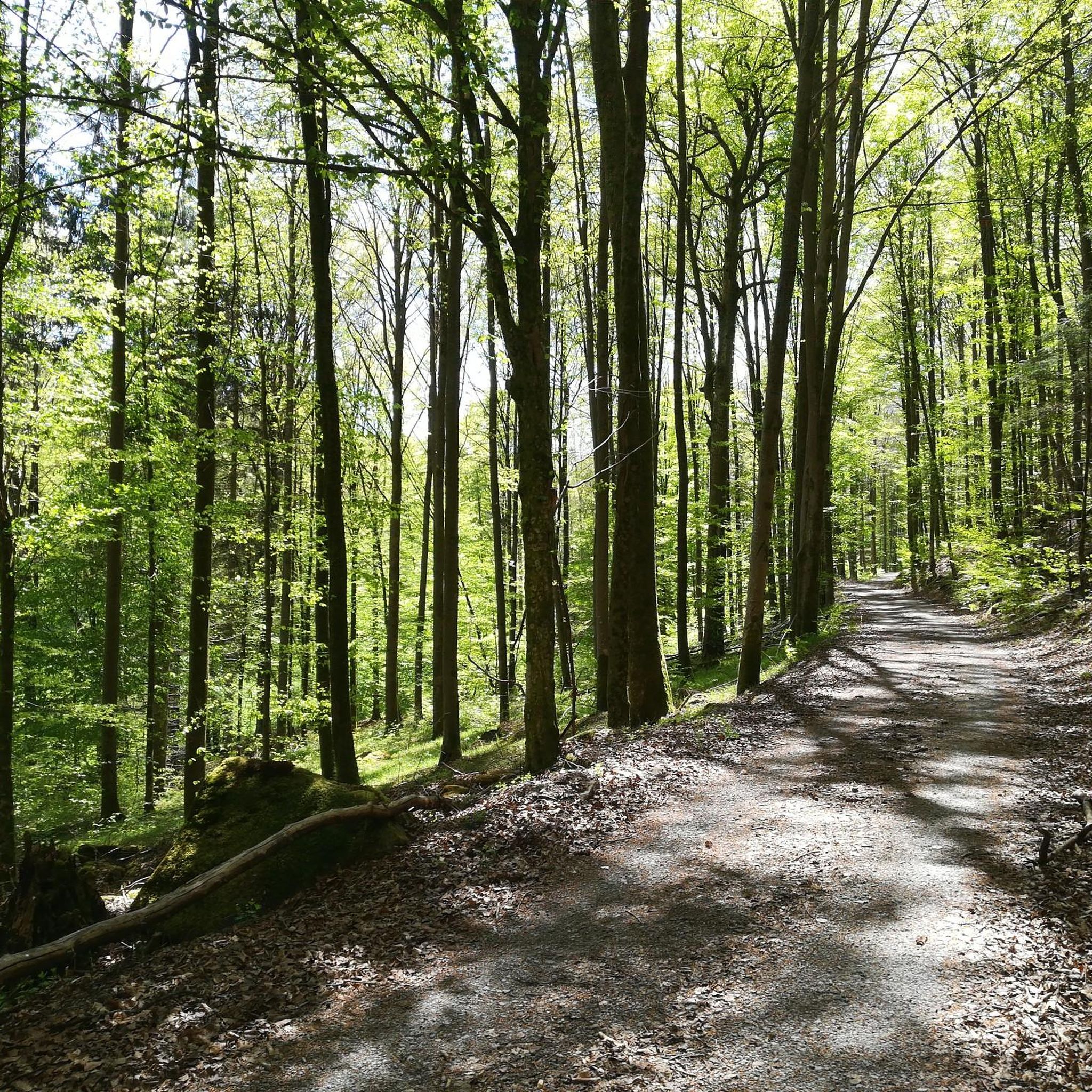
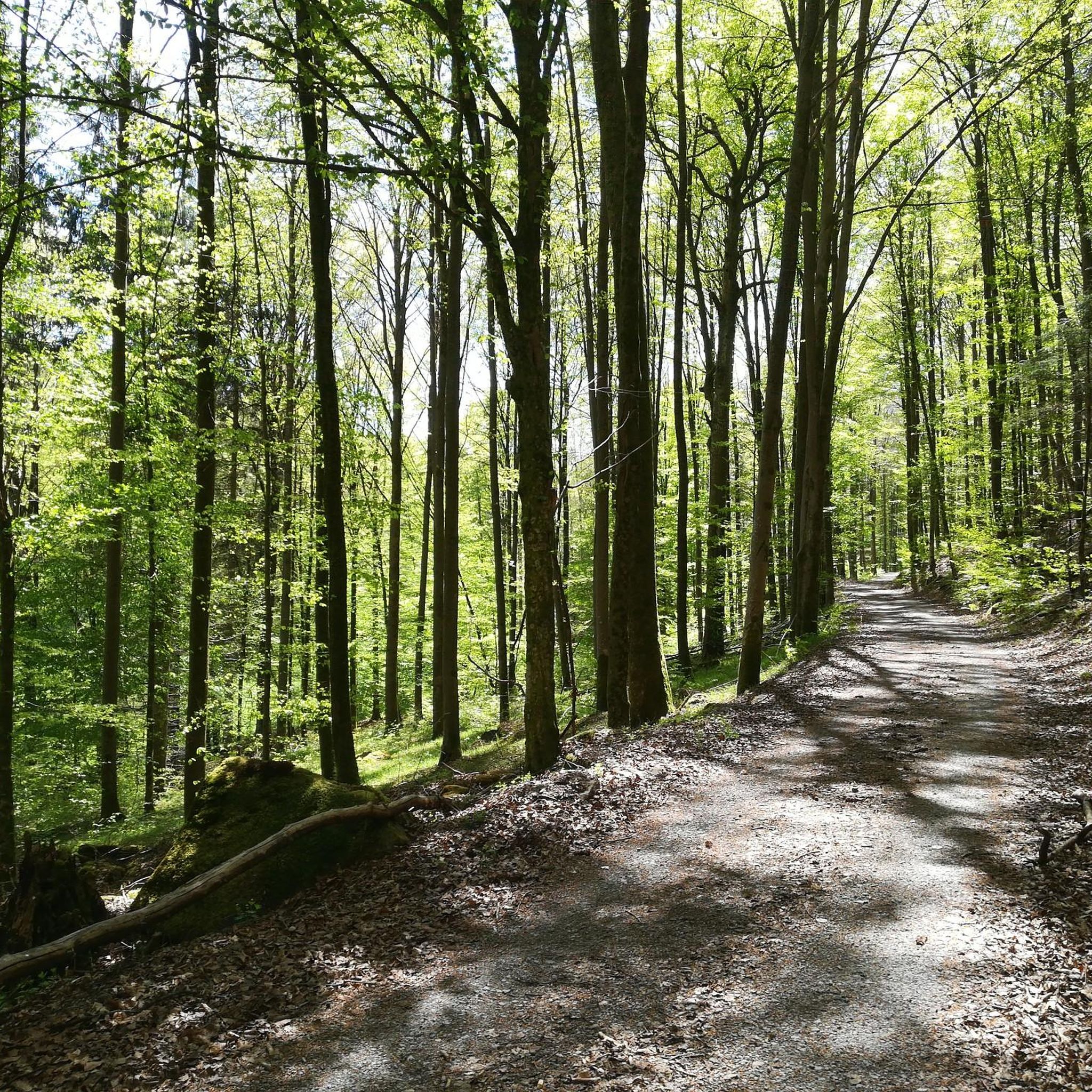
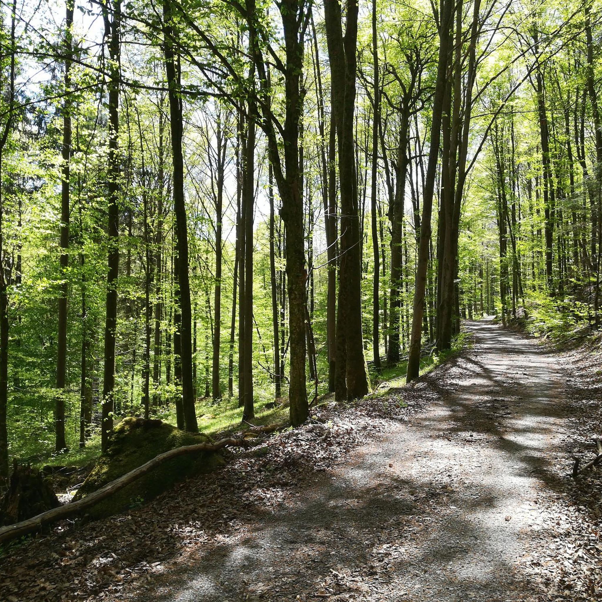
For hikers and nature lovers, the memorial stone on the Tannenberg is an interesting destination that offers a break and reflection on a hike through the beautiful landscape of the Sodenberg. The path to the memorial stone leads through picturesque nature and offers the opportunity to experience the rich flora and fauna of the region.
7
0

Nice legend about Dreistelz. With a magnificent view 😍
1
0

Beautifully designed information board that explains the history of the Dreistelze.
7
0

Coming from the south (from the Franconian Plate), the Büchelberg (after the Sodenberg) is the first Rhön volcano that catches the eye. That is why the Büchelberg is of course not just any elevation on the other side of the Saale: In the transition to the Kuppenrhön and the Black Mountains, it clearly shapes the landscape.
2
0

All-round view of the Röhn from the filigree observation tower.
3
0

The name Dreistelz comes from the legend that 3 proud damsels ruled up there.
3
0

It's just a small, beautiful mountain who wants to hike in Bad Brückenau just has to go up. Tip the tower is great for enjoying the view again
8
0
nice little hill between Oberleichtersbach and Buchrasen
10
0
Frequently Asked Questions
What are the most notable mountain peaks or elevated areas to explore in Forst Detter-Süd?
While Forst Detter-Süd is primarily a forested area without prominent, rugged mountain peaks, visitors can explore several elevated points offering unique features. These include the Legend of the Three Proud Ladies of Dreistelz, known for its historical legend and a tower with views, and Büchelberg, one of the Rhön's first volcanic groups with historical significance and good views. The Knörzchen Summit is the highest point in Neuwirtshauser Forst, offering pleasant shady forest paths.
Are there good viewpoints among the elevated areas in Forst Detter-Süd?
Yes, several elevated areas offer good views. The tower at the Legend of the Three Proud Ladies of Dreistelz provides an excellent vantage point. Büchelberg also offers a good view. Additionally, the Ehrenberg (484 m) features a Höhenweg (high trail) with fantastic views over the Kuppenrhön, complete with a table and benches for resting. You can also find a View of Kleiner Auersberg, though access to the Auersberg itself is limited.
What kind of terrain can I expect when hiking the elevated areas in Forst Detter-Süd?
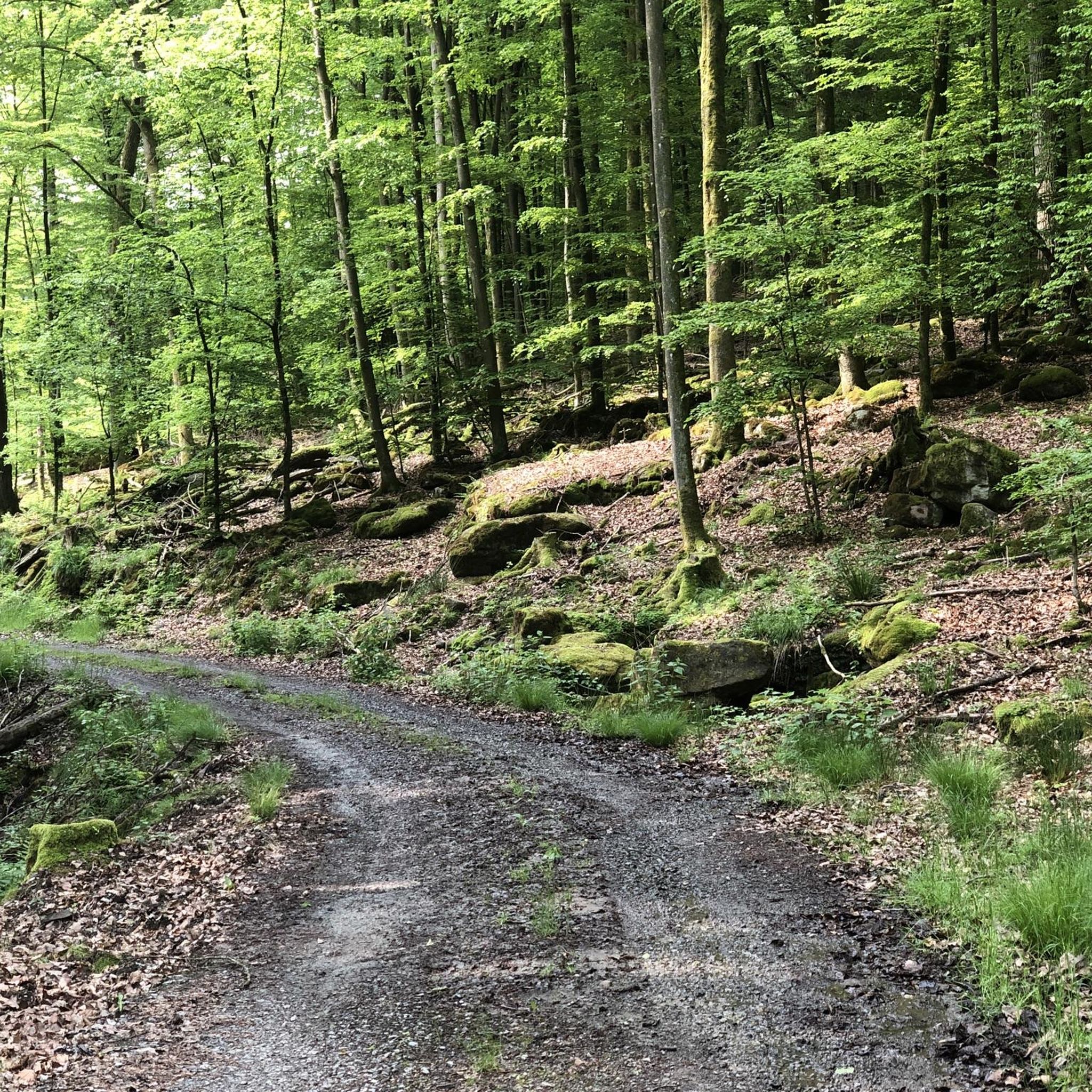
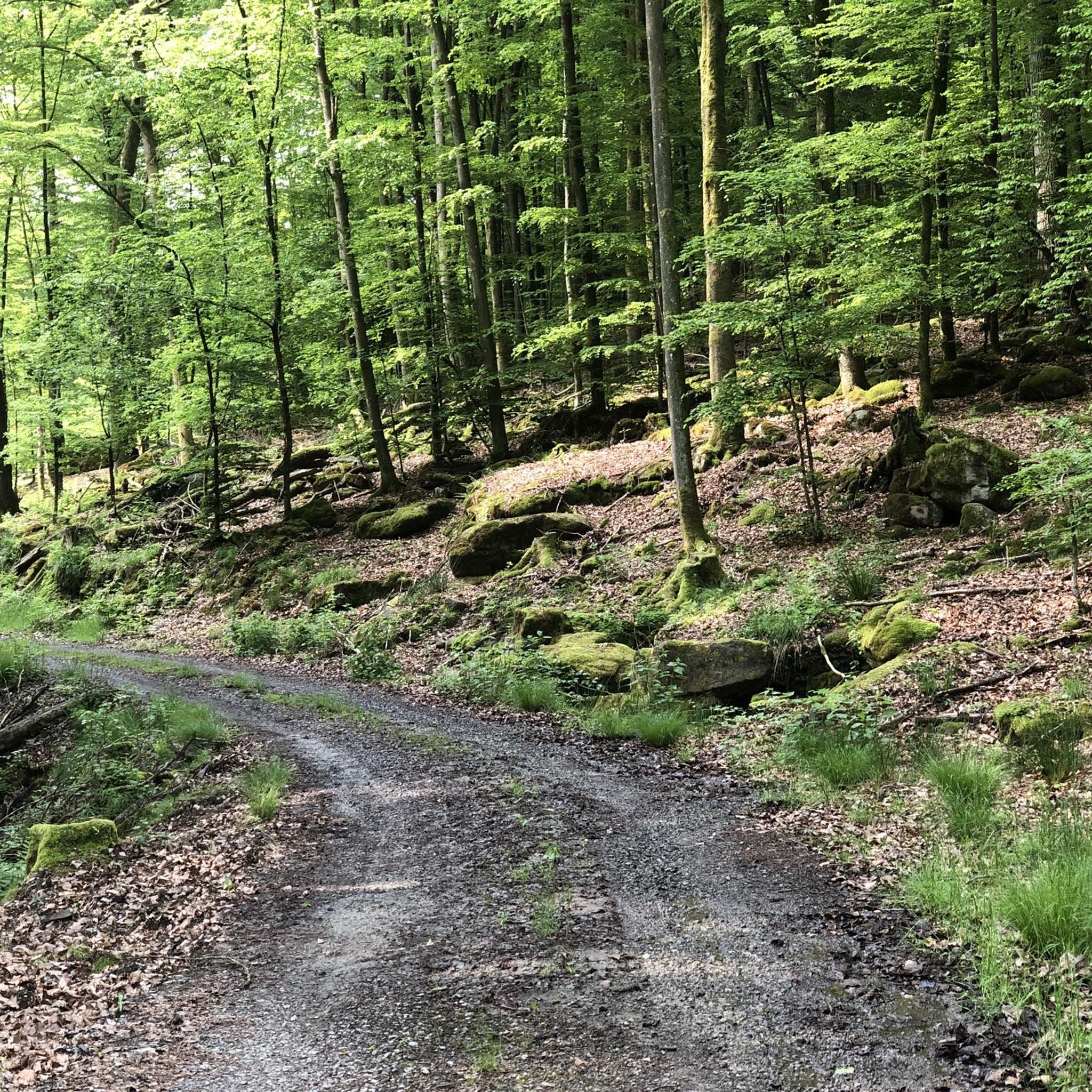
The terrain around Forst Detter-Süd's elevated areas is predominantly forested. You'll find many shady forest paths, particularly around the Knörzchen Summit, making them suitable for hiking, especially on warmer days. The region is characterized by wooded hills rather than rugged, rocky peaks.
Are there historical sites or natural monuments associated with the peaks in this region?
Yes, the region combines natural beauty with historical elements. The Legend of the Three Proud Ladies of Dreistelz is a historical site with an information board explaining its legend. Büchelberg is noted as one of the Rhön's first volcanic groups and has historical records suggesting a castle once stood there. Ehrenberg (484 m) is also considered a natural monument.
What outdoor activities can I do near the elevated areas of Forst Detter-Süd?
Beyond hiking the elevated areas, Forst Detter-Süd offers various outdoor activities. You can explore numerous cycling routes, including road cycling and mountain biking. For road cycling, consider routes like the 'Saale River Bend at Gräfendorf – Thulba Cycle Path loop' or 'Bad Brückenau Old Town loop'. Mountain bikers can enjoy trails such as the 'Heiligkreuz Fish Ponds – Scheuermühle loop'. Find more details on these activities in the Road Cycling Routes around Forst Detter-Süd, MTB Trails around Forst Detter-Süd, and Cycling around Forst Detter-Süd guides.
Are there family-friendly options for exploring the elevated areas in Forst Detter-Süd?
The forested nature of Forst Detter-Süd's elevated areas, with their shady paths, can be suitable for families. The Legend of the Three Proud Ladies of Dreistelz, with its accessible tower and historical legend, could be an engaging destination for families. Many of the forest paths are generally less strenuous, offering pleasant walks for all ages.
What do visitors enjoy most about the elevated areas around Forst Detter-Süd?
Visitors particularly appreciate the scenic views from points like the tower at the Legend of the Three Proud Ladies of Dreistelz and the panoramic outlook from Ehrenberg (484 m). The well-designed information board at Dreistelz explaining its history is also a highlight. Many enjoy the peaceful, shady forest paths, especially around the Knörzchen Summit, which are ideal for hot days.
Is it possible to find circular or loop trails around the elevated areas?
While specific loop trails for individual 'peaks' aren't detailed, the general area around Forst Detter-Süd is well-suited for circular walks due to its extensive network of forest paths. You can often combine different paths to create your own loop routes, especially around highlights like the Knörzchen Summit, which is surrounded by pleasant forest trails.
What is the highest point in Forst Detter-Süd?
The highest elevation within the unincorporated forested area of Forst Detter-Süd itself is an unnamed hill reaching 428 meters above sea level. However, nearby, the Knörzchen Summit in Neuwirtshauser Forst reaches a higher altitude of 505 meters above sea level.
Are there any challenging hikes among the elevated areas in Forst Detter-Süd?
The elevated areas in Forst Detter-Süd are generally characterized by wooded hills and forest paths, making most hikes intermediate in difficulty. While there aren't typically 'challenging mountain peaks' in the traditional sense, longer routes combining multiple elevated points or exploring the broader Rhön region can offer more strenuous experiences. For more challenging cycling, some MTB routes like the 'Dreistelz Trail – Würzburger Karl-Straub-Haus loop' are rated as difficult.
Can I bring my dog on the trails around the elevated areas?
Generally, the forest paths and trails around the elevated areas in Forst Detter-Süd are dog-friendly. It's always advisable to keep dogs on a leash, especially in forested areas where wildlife may be present, and to follow local regulations regarding pets.
Are there any amenities like cafes or restaurants near the elevated areas?
Forst Detter-Süd is a forested area, so amenities like cafes or restaurants are not directly on the elevated points. However, you can find places to eat and drink in nearby towns and villages. The Ehrenberg (484 m) does offer a table and benches at its viewpoint, providing a spot for a picnic.
Most popular attractions around Forst Detter-Süd

Get inspired with the komoot mobile app


Explore more
See even more amazing summits around Forst Detter-Süd with these guides:
