The best walks and hikes around Forst Detter-Süd
4.6
(3725)
14,605
hikers
638
hikes
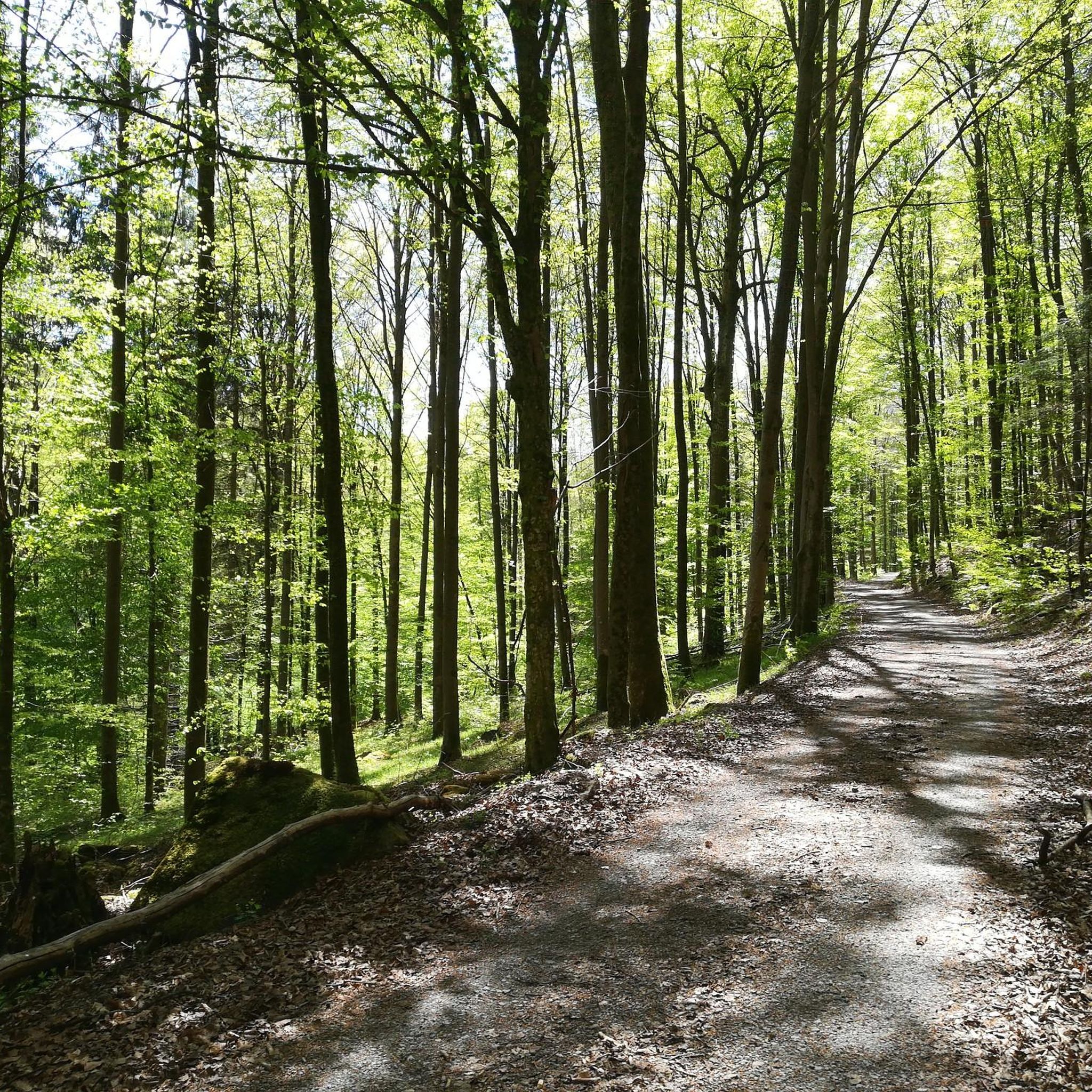
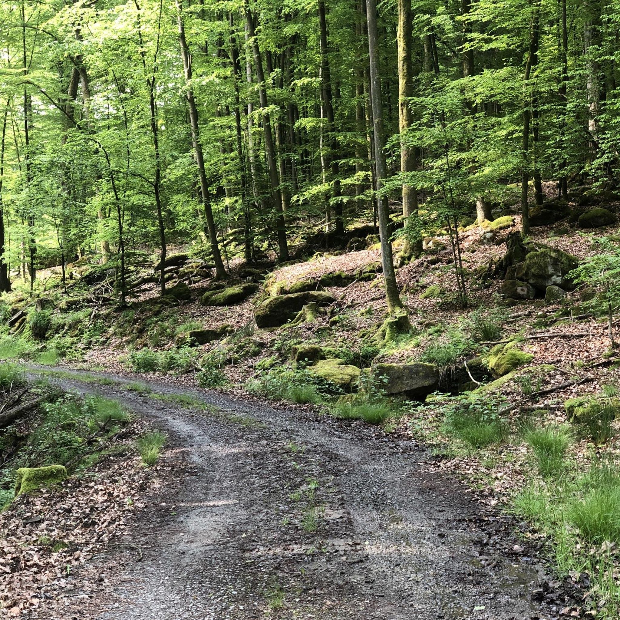
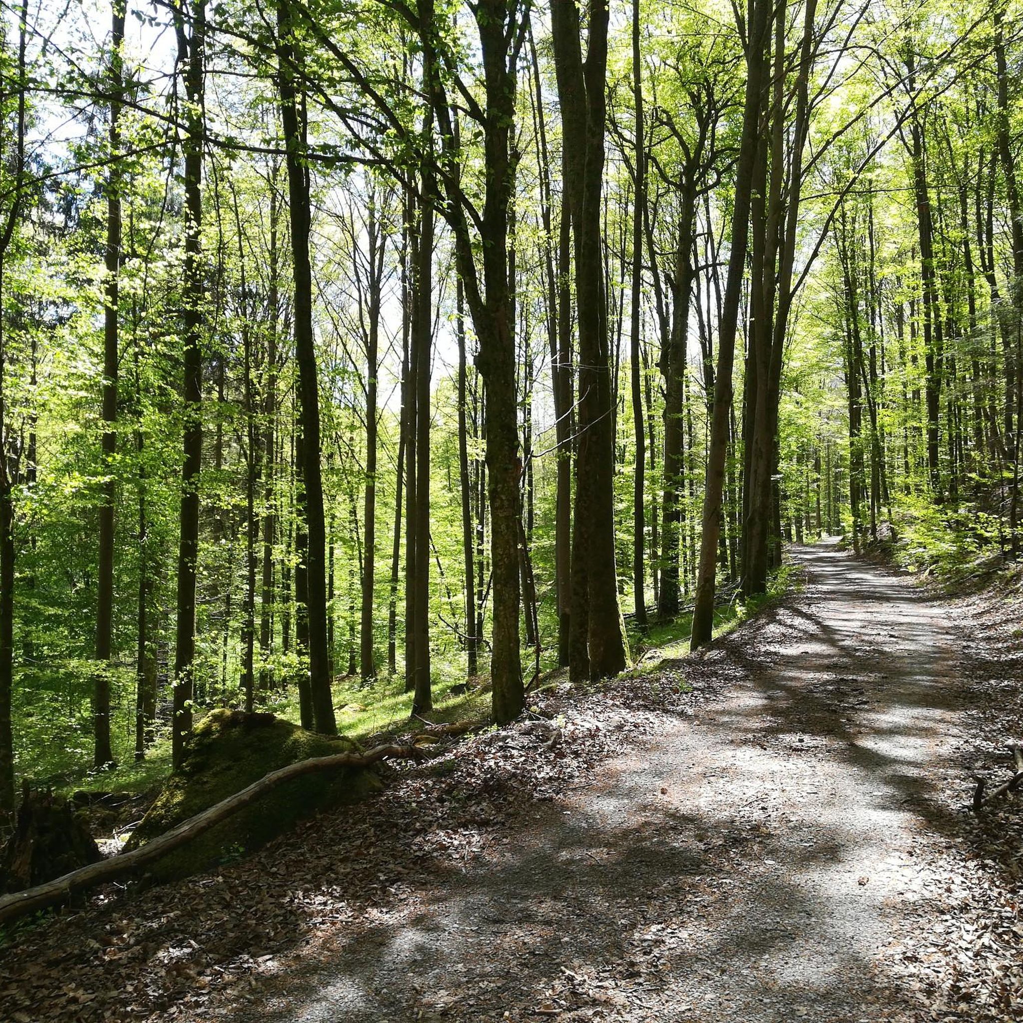
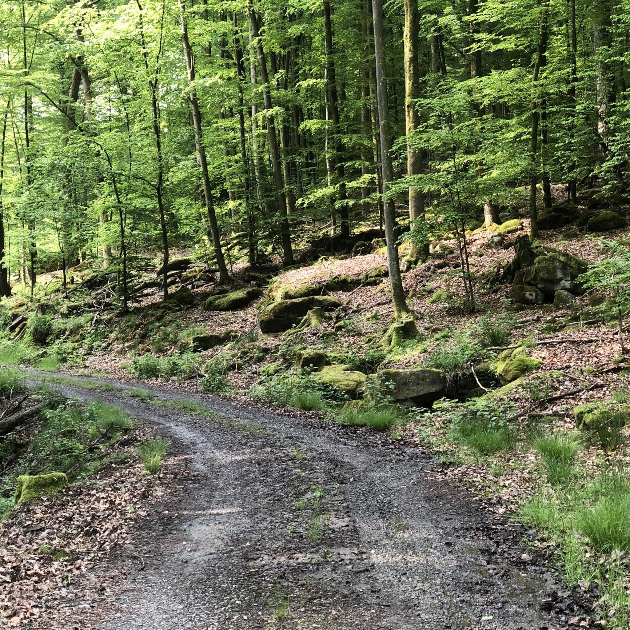
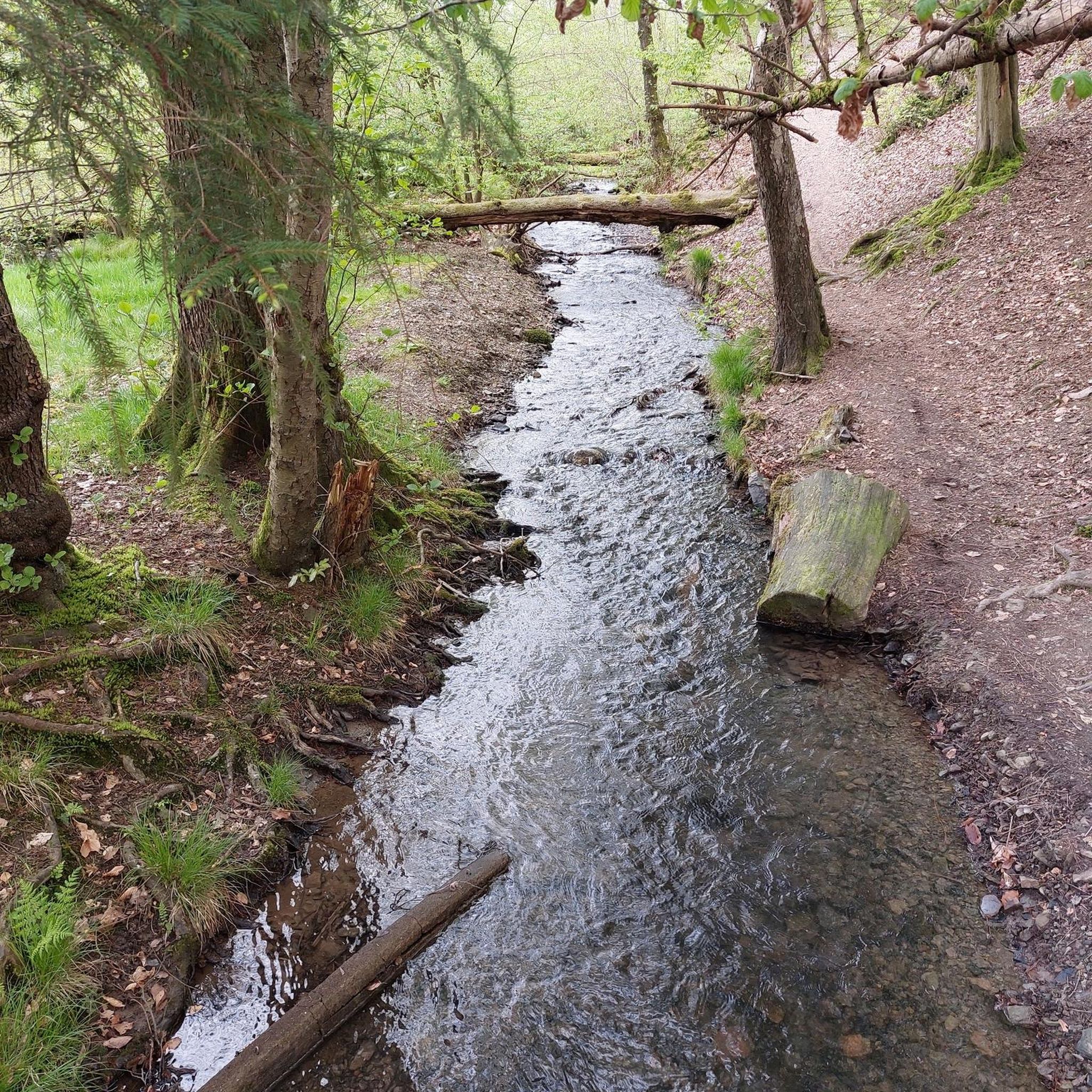
Hiking around Forst Detter-Süd offers exploration within a completely wooded area of approximately 11.39 km² in the Bavarian Rhön. This region is characterized by its extensive forest cover, providing an immersive natural experience. As part of the Rhön Biosphere Reserve, the area features rolling hills and a varied topography, including a nameless peak reaching 428 meters above sea level. The minimal human footprint contributes to a pristine and undisturbed natural environment.
Best hiking trails around Forst Detter-Süd
- The most popular…
Last updated: May 19, 2026
4.7
(6)
48
hikers
Moderate hike. Good fitness required. Easily-accessible paths. Suitable for all skill levels.
4.7
(11)
34
hikers
7.84km
02:13
180m
180m
Moderate hike. Good fitness required. Easily-accessible paths. Suitable for all skill levels.

Sign up for free
4.8
(12)
31
hikers
Moderate hike. Good fitness required. Easily-accessible paths. Suitable for all skill levels.
4.8
(4)
21
hikers
5.20km
01:27
90m
100m
Easy hike. Great for any fitness level. Easily-accessible paths. Suitable for all skill levels.
2.5
(2)
13
hikers
14.9km
04:02
200m
200m
Moderate hike. Good fitness required. Easily-accessible paths. Suitable for all skill levels.
Get access to more routes and recommendations from other explorers.
Sign up for free
Already have an account?
Our route recommendations are based on thousands of hikes, rides, and runs completed by other people on komoot.
Start today with a free account
Your next adventure awaits.
Login or Signup
Tips from the Community


Several small ponds stretch through the valley of the Zeitlofsgraben as far as the Glasmühlweiher pond.
0
0
Idyllically situated pond in the Weißenbach valley
0
0

A truly beautiful mill in the Schondra Valley. Absolutely worth a visit.
0
0
Beautifully landscaped grounds with a shelter. Amazing views. Definitely not the last time I'll be here.
0
0

Heckmühlsterg closed for renovation
0
0

The paths and (nature conservation) areas around the various footbridges over the Schondra River are impressive, relaxing spots (some with benches) and ideal for a rest. They make a hike through the Schondra Valley particularly beautiful.
0
0
The paths and (nature conservation) areas around the various footbridges over the Schondra River are impressive, relaxing spots (some with benches) and ideal for a rest. They make a hike through the Schondra Valley particularly beautiful.
0
0
Frequently Asked Questions
What kind of landscape can I expect when hiking in Forst Detter-Süd?
Forst Detter-Süd is defined by its extensive and uninterrupted forest cover, offering an immersive natural experience within the Bavarian Rhön. You'll find densely wooded terrain, rolling hills, and varied topography, providing a sense of tranquility and opportunities to observe woodland ecosystems. The area is part of the UNESCO Rhön Biosphere Reserve.
Are there hiking trails suitable for beginners or those looking for an easy walk?
Yes, Forst Detter-Süd offers a good selection of easy trails. Out of over 600 routes, more than 300 are classified as easy. An example is the Stone House – Blue Tower loop from Weißenbach, which is 5.2 km long and takes around 1 hour 27 minutes to complete.
Can I find circular hiking routes in Forst Detter-Süd?
Many of the trails in Forst Detter-Süd are designed as loops, allowing you to start and end at the same point. For instance, the Mittelmühlsteg Bridge – Völkersleier Manor House loop from Omerz und roter Berg is a popular 12.0 km circular route that explores forested paths and historical points of interest.
What are some notable natural features or landmarks to look out for on the trails?
While Forst Detter-Süd is primarily known for its undisturbed forest, the broader region offers interesting sights. You might encounter natural water elements along routes like the Kneipp Pool Heckmühle – Mitteltränk footbridge loop from Heckmühle. For specific landmarks, consider exploring nearby attractions such as the Heiligkreuz Fish Ponds or the Ruins of Schwarzenfels Castle.
Are the hiking trails in Forst Detter-Süd suitable for families with children?
Yes, the area's varied terrain includes many family-friendly options, especially among the over 300 easy trails. The extensive forest cover provides a safe and engaging environment for children to explore nature. Look for shorter, less strenuous loop trails for a pleasant family outing.
Are dogs allowed on the hiking trails in Forst Detter-Süd?
Generally, dogs are welcome on the hiking trails in Forst Detter-Süd, as it's a natural, forested area. However, it's always advisable to keep your dog on a leash, especially to protect local wildlife and ensure a pleasant experience for all hikers. Please respect any local signage regarding dog regulations.
What do other hikers say about their experience in Forst Detter-Süd?
The hiking routes in Forst Detter-Süd are highly rated by the komoot community, with an average score of 4.6 stars from over 3,600 reviews. Hikers often praise the tranquil, densely forested paths and the varied scenery that makes for an immersive natural experience.
How many hiking trails are there in Forst Detter-Süd?
There are over 600 hiking trails available in Forst Detter-Süd, catering to various fitness levels. This includes more than 300 easy routes, over 300 moderate routes, and around 30 difficult trails for more experienced hikers.
Are there any trails that feature historical points of interest?
Yes, some routes incorporate historical elements. For example, the Mittelmühlsteg Bridge – Völkersleier Manor House loop from Omerz und roter Berg is known for exploring forested paths and historical points of interest along its 12.0 km length.
What is the longest hiking trail available in Forst Detter-Süd?
One of the longer options is the Mitteltränk footbridge – Scheuermühle loop from Heckmühle. This moderate trail covers a distance of 14.9 km and typically takes around 4 hours to complete, offering an extended exploration of the area's natural beauty.
What is the best time of year to go hiking in Forst Detter-Süd?
Given its completely wooded terrain, Forst Detter-Süd is beautiful in spring when the forest awakens, in summer for shaded walks, and particularly in autumn for vibrant fall foliage. Winter hiking is also possible, but conditions may vary, so checking local weather is recommended.
Are there any viewpoints or elevated spots in Forst Detter-Süd?
The area includes a nameless peak reaching 428 meters above sea level, which likely offers elevated viewpoints and varying terrain. While specific named viewpoints are not prominently detailed, the varied topography within the Rhön Biosphere Reserve provides opportunities for scenic vistas, especially from higher elevations.
Most popular attractions around Forst Detter-Süd

Get inspired with the komoot mobile app


Explore more
Browse the best Hikes in other regions.
