The best gravel rides around Forst Detter-Süd
5.0
(7)
39
riders
10
rides
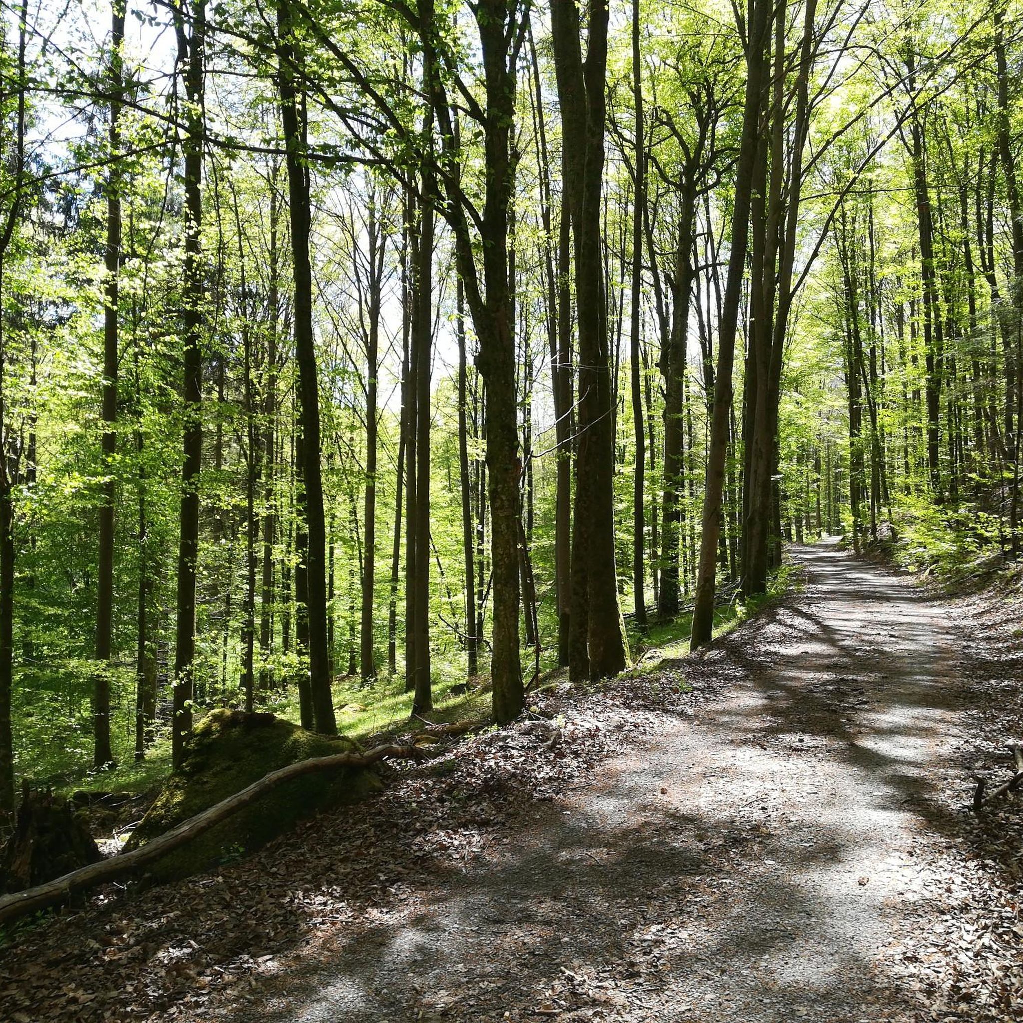
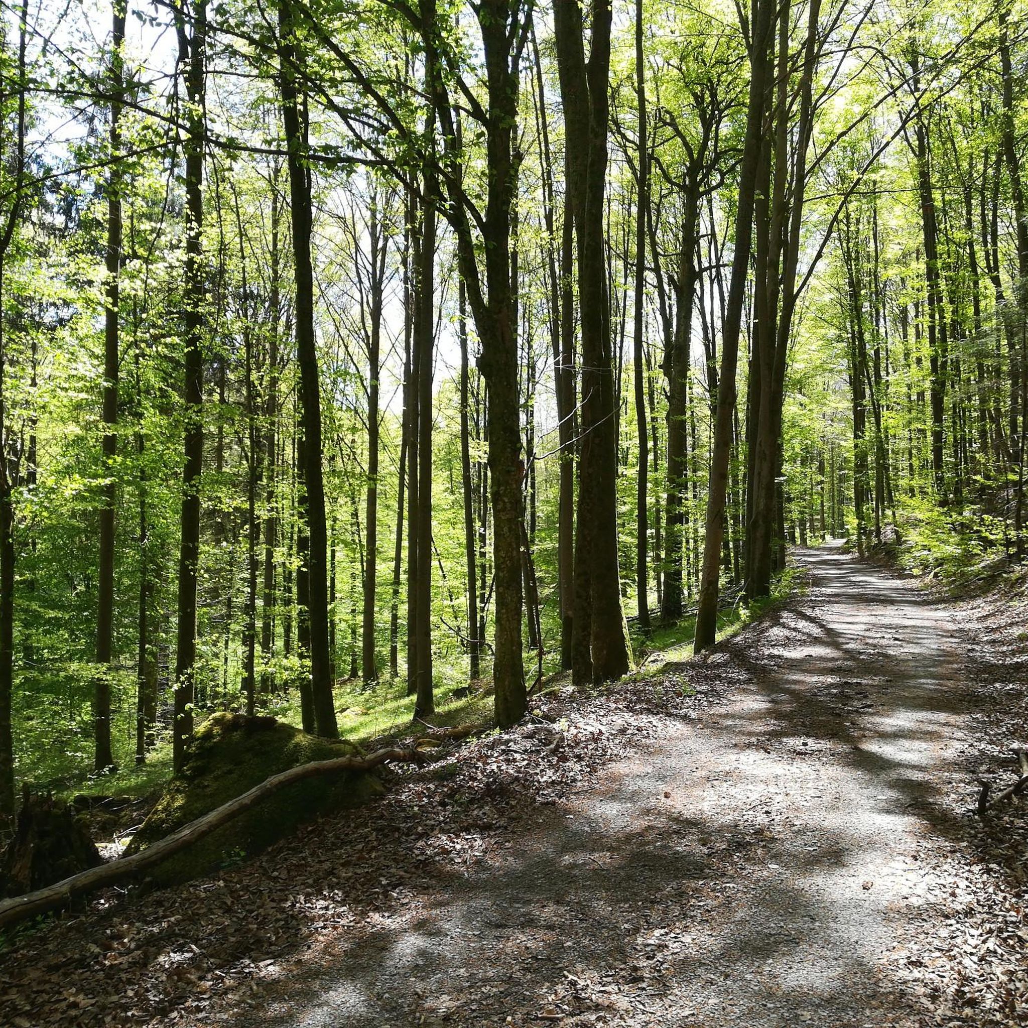
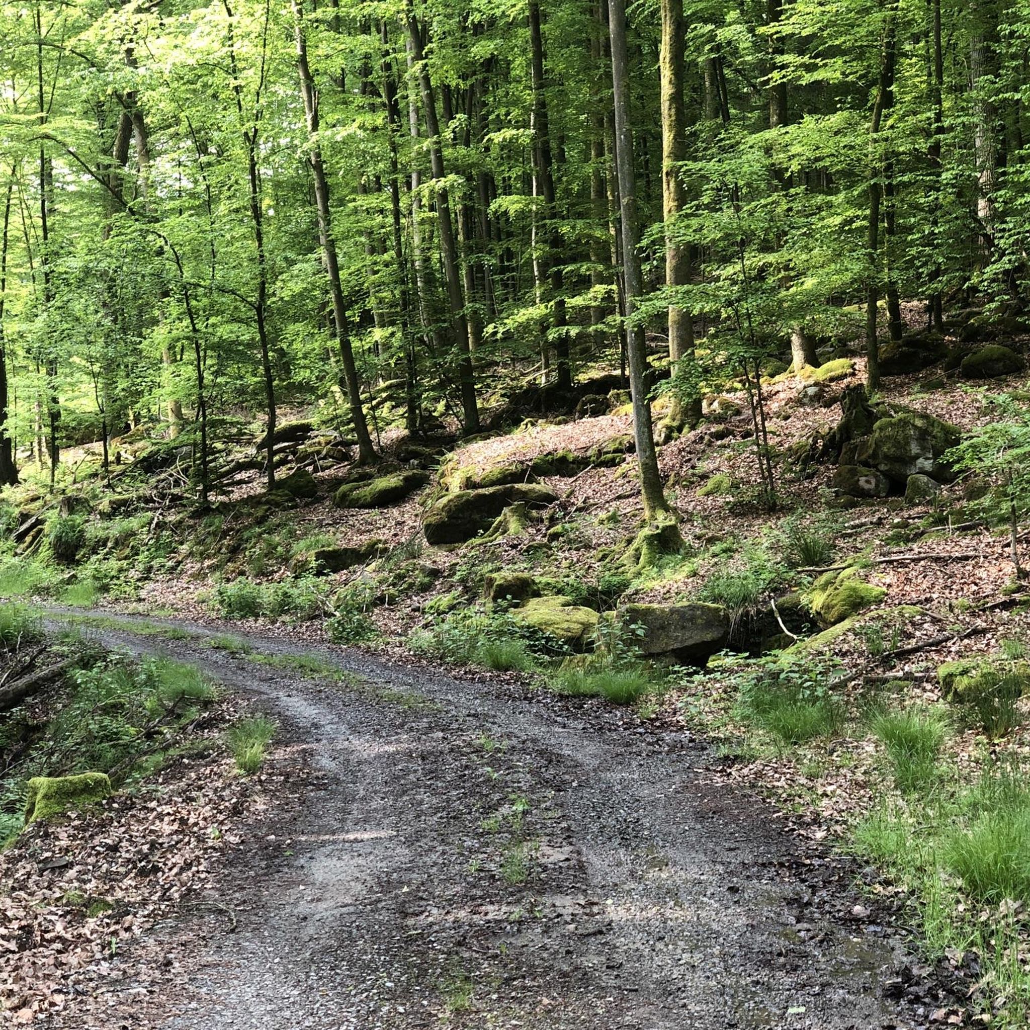
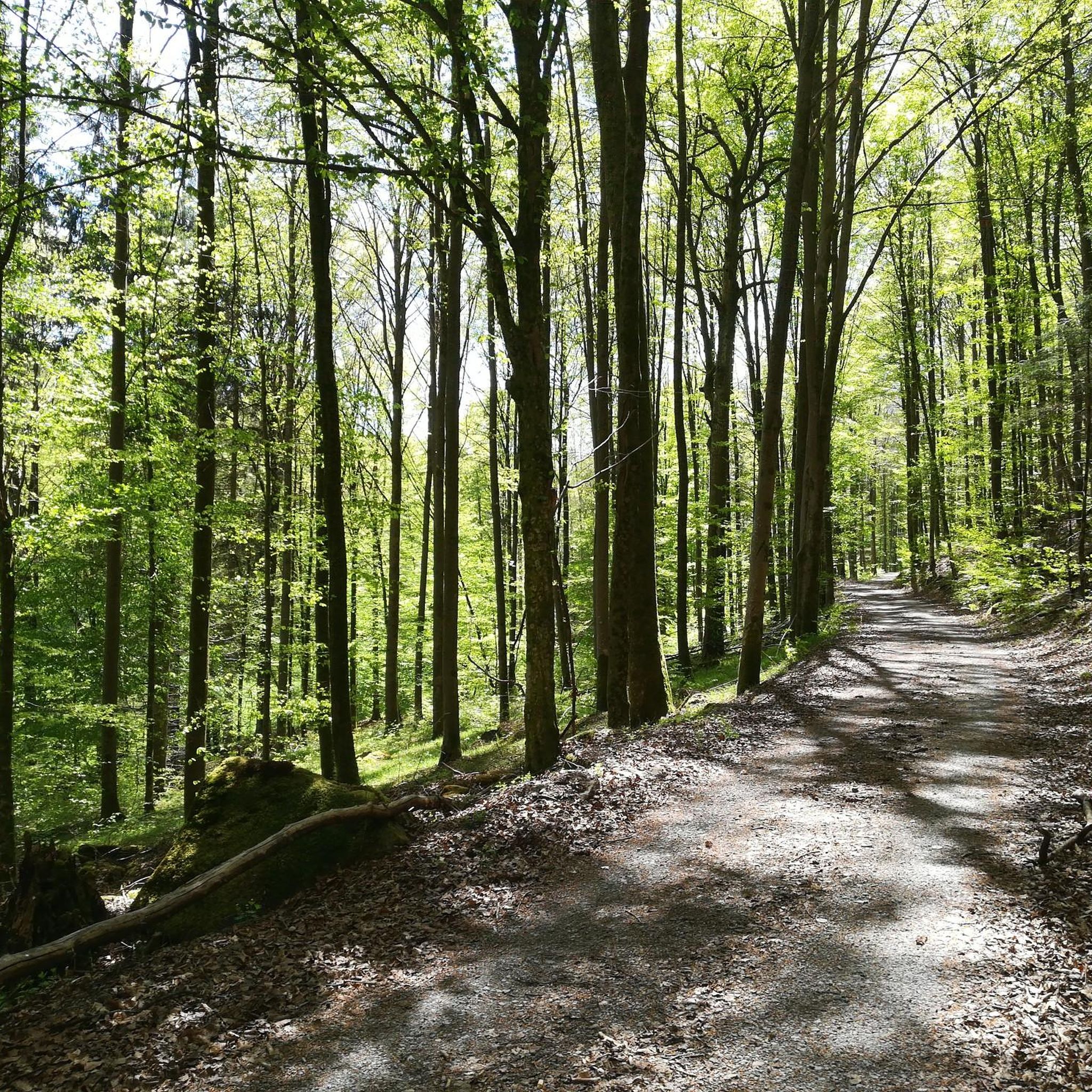
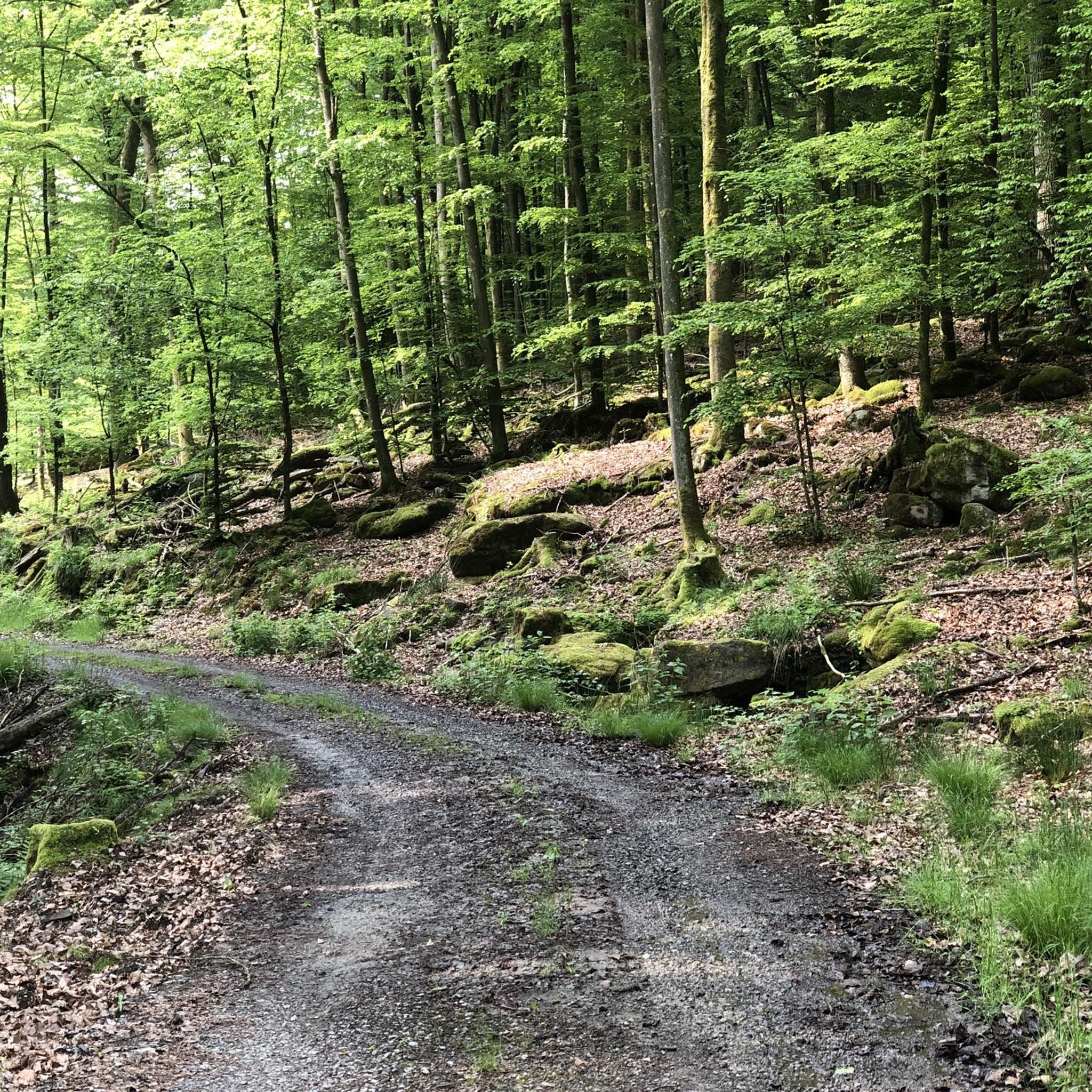
Gravel biking around Forst Detter-Süd is characterized by varied terrain, featuring dense woodlands and undulating hills. The region offers a network of trails suitable for different skill levels, from moderate paths to more challenging routes with significant elevation gains. Riders can expect a mix of forest tracks and open sections, providing diverse gravel biking experiences. The landscape includes rolling hills and forested areas, ideal for gravel biking.
Best gravel bike trails around Forst Detter-Süd
- The most popular gravel bike trail…
Last updated: May 21, 2026
5.0
(1)
7
riders
Hard gravel ride. Very good fitness required. You may need to push your bike for some segments of this route.
5.0
(2)
5
riders
Hard gravel ride. Very good fitness required. You may need to push your bike for some segments of this route.

Sign up for free
5.0
(1)
5
riders
Hard gravel ride. Very good fitness required. Mostly paved surfaces. Suitable for all skill levels.
2
riders
45.7km
02:59
720m
720m
Hard gravel ride. Very good fitness required. Mostly paved surfaces. Suitable for all skill levels.
2
riders
32.5km
02:11
520m
520m
Hard gravel ride. Very good fitness required. Mostly paved surfaces. Suitable for all skill levels.
Get access to more routes and recommendations from other explorers.
Sign up for free
Already have an account?
Our route recommendations are based on thousands of hikes, rides, and runs completed by other people on komoot.
Start today with a free account
Your next adventure awaits.
Login or Signup
Tips from the Community

Steep mountain with up to 20% in the forest (shady). Particularly steep in the lower and upper sections, somewhat unrhythmic
0
0

This is a great place to start your car tour. There's also plenty of parking for those arriving by car. 🚗🅿️ #CarTour #Parking #Car
0
0


The Kursaal building, dating from 1830, is one of the most important buildings in the state spa of Brückenau.
6
0

A truly beautiful mill in the Schondra Valley. Absolutely worth a visit.
0
0

The Kinzig is a river approximately 86 kilometers long. It rises in Sterbfritz, flows southwest through the Main-Kinzig district of Hesse, and flows into the Main from the right in Hanau. The Kinzig is a second-order river in low mountain ranges. It overcomes an elevation of 301 meters and has a bed gradient of 3.5 per thousand. The Kinzig's catchment area covers 1,058 square kilometers, and the calculated mean discharge (MQ) at the mouth of the Kinzig is 10.97 cubic meters per second. The Kinzig was first documented in 796 as "iuxta fluvium Kincihen." In 815, the name was written as "Chinzicha," around 900 as "Kincicha"/"Kinzicham," in 1364 as "Kinzige," in 1584 as "Kintzig," in 1607 as "Bintz," in 1681 as "Kintz," in 1716 as "Kins," in 1769 as "Kinzing," and in 1802 as "Kinzig." In the river's headwaters, there was the now-defunct village of Kinzig, mentioned in 815 as "Chirizichheimero." The village and river were often confused by monastery scribes at that time with "Chizzicha" (now Bad Kissingen), both of which were described as being located in the Saalegau. The name presumably derives from the ancient Celtic *ku̯anti̯o- meaning "flat hill, valley." The name was therefore derived from the mountainous region from which the Kinzig flows. Source: Wikipedia
1
0


The Rhönexpress Railway Cycle Path, brand new and completed in 2019, is a truly unique experience. The approximately 26 km long route runs from the Hessian border near Zeitlofs to the market town of Wildflecken along the former railway line. Source and further information about this beautiful cycle path can be found at: https://rhoenexpress.bayern/
0
0
Frequently Asked Questions
What are the difficulty levels of gravel bike trails in Forst Detter-Süd?
Forst Detter-Süd offers a range of gravel bike trails. You'll find 3 moderate routes and 14 more challenging options, catering to various experience levels. The terrain often includes dense woodlands and undulating hills, providing diverse experiences.
Are there beginner-friendly gravel bike routes in Forst Detter-Süd?
While the majority of routes are classified as difficult, there are 3 moderate gravel bike trails available in Forst Detter-Süd. These paths offer a good starting point for those new to gravel biking or looking for a less strenuous ride.
What is the typical length of gravel bike trails in Forst Detter-Süd?
The gravel bike trails in Forst Detter-Süd vary in length. For example, a moderate route like View of Schwarzenfels Castle – Sinn Bridge Altengronau loop from Staatsbad Brückenau is about 18.2 miles (29.3 km). More difficult routes, such as Ruins of Schwarzenfels Castle – View of Schwarzenfels Castle loop from Staatsbad Brückenau, can extend to 31.5 miles (50.8 km).
When is the best time of year to go gravel biking in Forst Detter-Süd?
Gravel biking in Forst Detter-Süd is generally enjoyable from spring through autumn. The region's dense woodlands provide good shade in summer, while spring and autumn offer pleasant temperatures and vibrant scenery. Always check local weather conditions before heading out.
Are there any notable viewpoints along the gravel bike routes in Forst Detter-Süd?
Yes, the region features several points of interest that offer scenic views. You might encounter viewpoints like the Dreistelzturm Observation Tower or the View of Kleiner Auersberg, providing great spots to pause and take in the landscape.
What can I see along the gravel bike trails in Forst Detter-Süd?
Beyond the natural beauty of dense forests and rolling hills, you can discover various attractions. These include historical sites like the Willkommhaus or the Legend of the Three Proud Ladies of Dreistelz. There are also several huts and rest areas, such as the Luitpold Hut, perfect for a break.
Are there any circular gravel bike routes in Forst Detter-Süd?
Many of the gravel bike trails in Forst Detter-Süd are designed as loops. For instance, the popular View of Schwarzenfels Castle – Sinn Bridge Altengronau loop from Staatsbad Brückenau is a circular route, allowing you to start and finish at the same point.
What do other gravel bikers enjoy the most about gravel biking in Forst Detter-Süd?
The gravel biking experience in Forst Detter-Süd is highly rated by the komoot community, with an average score of 4.9 stars from over 20 reviews. Riders often praise the varied terrain, the mix of forest tracks and open sections, and the challenging elevation gains that make for rewarding rides.
How many gravel bike trails are available in Forst Detter-Süd?
Forst Detter-Süd offers a total of 17 gravel bike trails. This includes a selection of moderate paths and more difficult routes, ensuring options for different skill levels and preferences.
Are there any summits or peaks accessible by gravel bike in Forst Detter-Süd?
While the region is characterized by rolling hills, you can find routes that lead to or offer views of various summits. Notable peaks include Büchelberg and Knörzchen Summit, providing challenging climbs and rewarding vistas.
Can I find places to rest or take a break along the trails?
Yes, there are several designated rest areas and huts within and around Forst Detter-Süd. You can find spots like the Rest area with shelter on the Saale River or the Bettlersruh Rest Area on Route 46, perfect for a quick stop and refreshment.
Most popular attractions around Forst Detter-Süd

Get inspired with the komoot mobile app


Explore more
Browse the best Gravel rides in other regions.
