The 5 Most Amazing Peaks around Weißwasser/O.L. - Běła Woda
Best mountain peaks around Weißwasser/O.L. - Běła Woda are found in the Upper Lusatia region of eastern Saxony, Germany. This area features a generally flat to gently rolling landscape with notable elevations and hills rather than high mountain peaks. The terrain elevation offers recreational opportunities and scenic views across a landscape shaped by forests, lakes, and a history of glass production and lignite mining.
Best mountain peaks around Weißwasser/O.L. - Běła Woda
- The most popular mountain peaks is Drachenberge,…
Last updated: August 20, 2026
Drachenberge
Highlight • Trail
How did the Drachenberg get its name?
A legend tells that God created Lusatia and …
Translated by Google •
Tip by

Vineyard near Weißwasser
Highlight • Summit
Translated by Google •
Tip by

Sign up now to discover places like this
Get recommendations on the best single tracks, peaks, & plenty of other exciting outdoor places.
Sign up for free
First-Order Triangulation Station Brandberg
Highlight • Monument
Translated by Google •
Tip by

Mount Geidlich
Highlight • Summit
Translated by Google •
Tip by

Marienberg (178 m)
Highlight • Summit
Translated by Google •
Tip by
Start today with a free account
Your next adventure awaits.
Login or Signup
Popular around Weißwasser/O.L. - Běła Woda
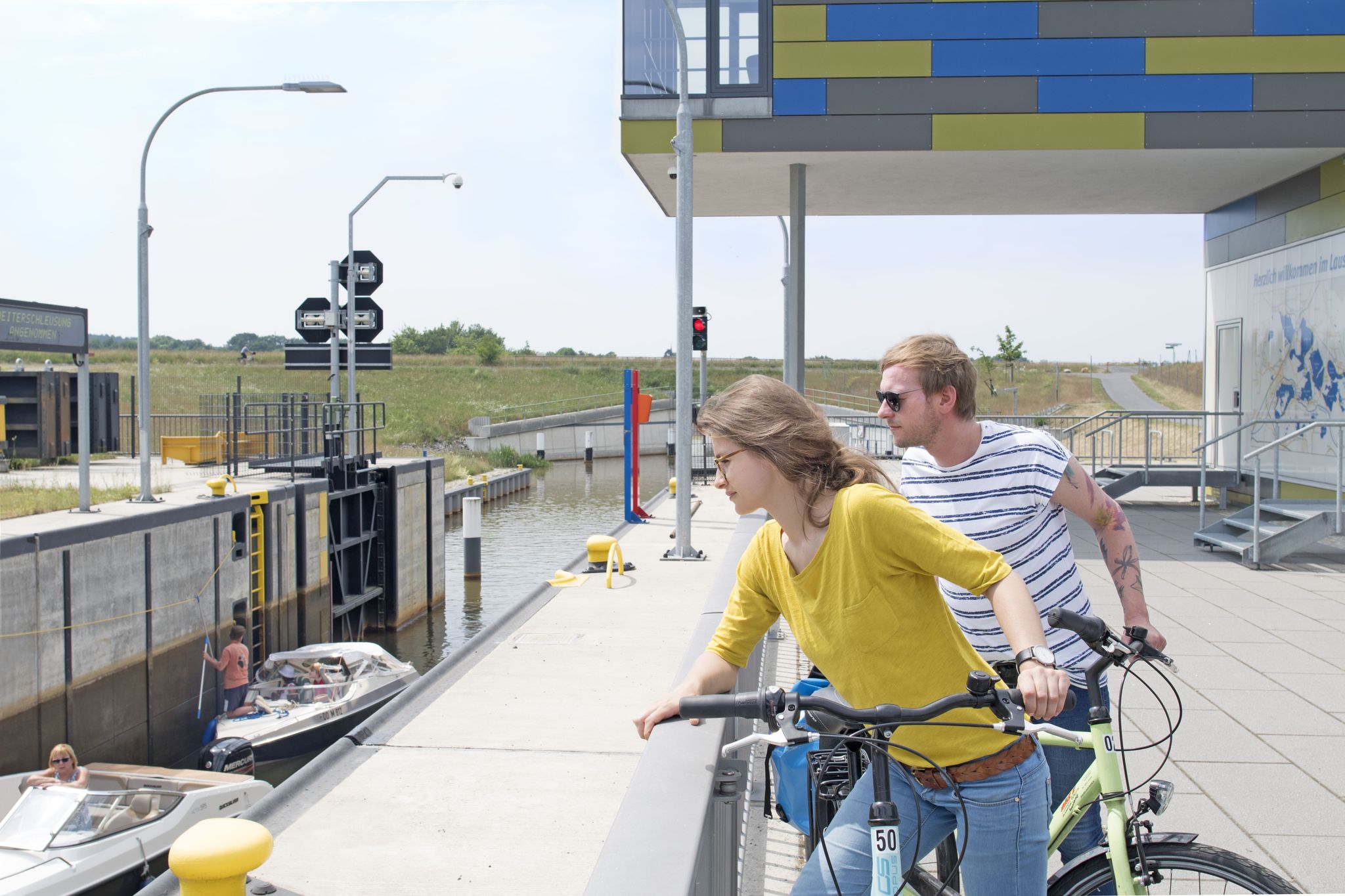
Thematische Tagestouren mit dem Rad durch das Lausitzer Seenland
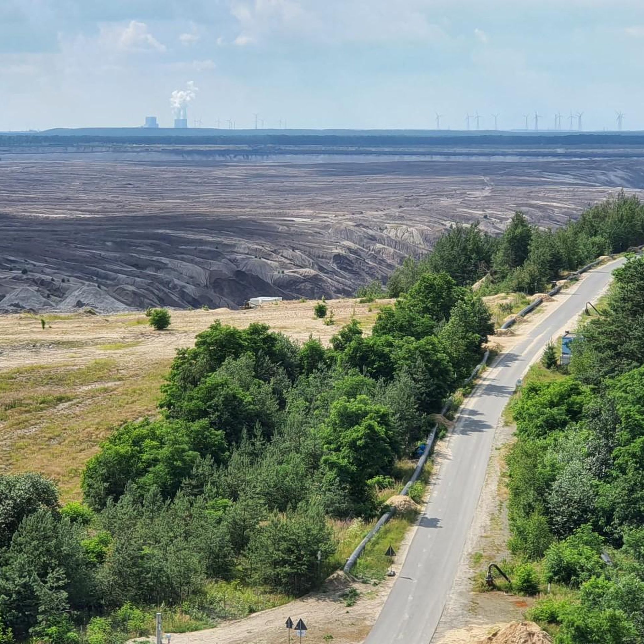
Cycling around Weißwasser/O.L. - Běła Woda
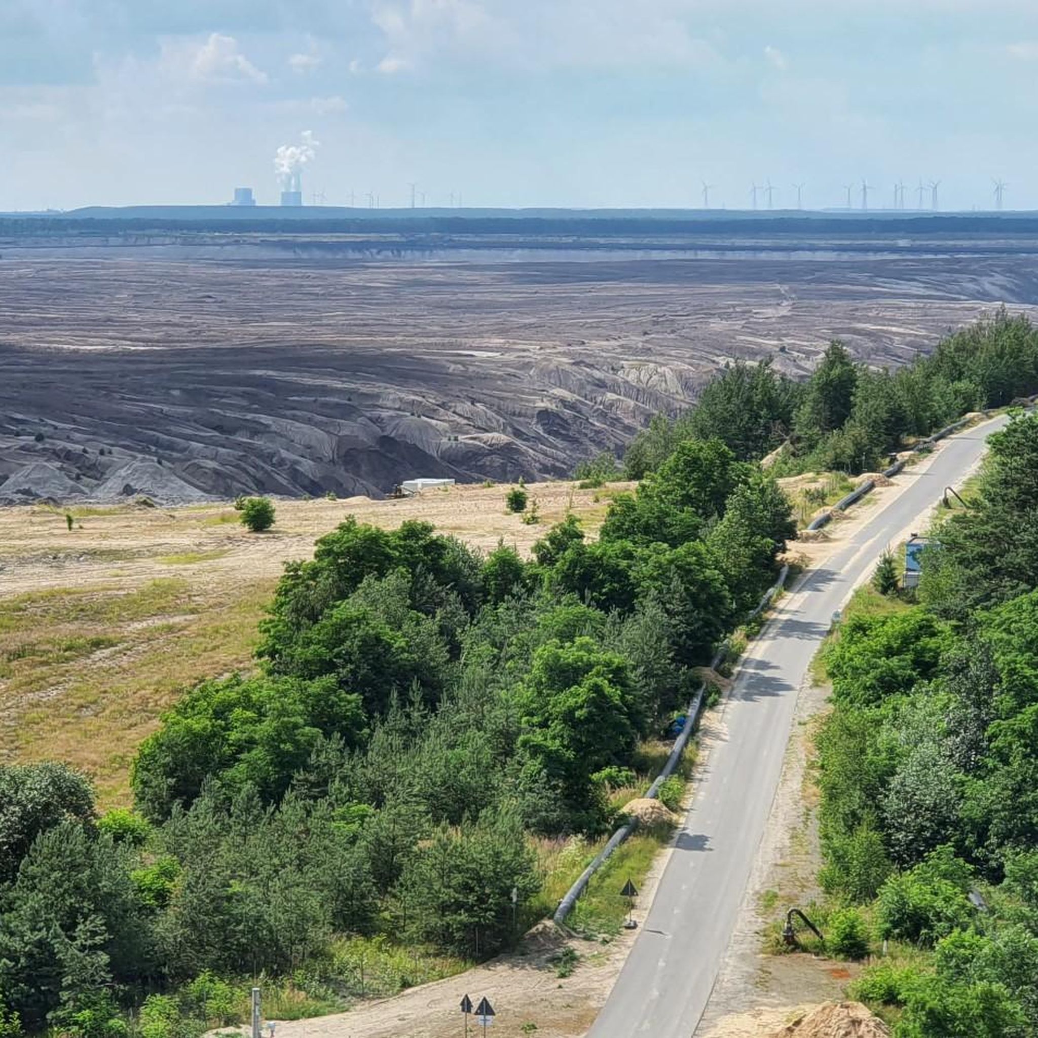
Hiking around Weißwasser/O.L. - Běła Woda
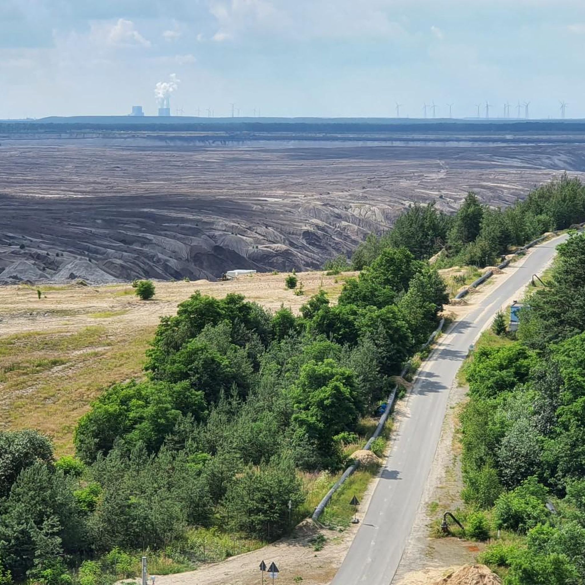
Road Cycling Routes around Weißwasser/O.L. - Běła Woda
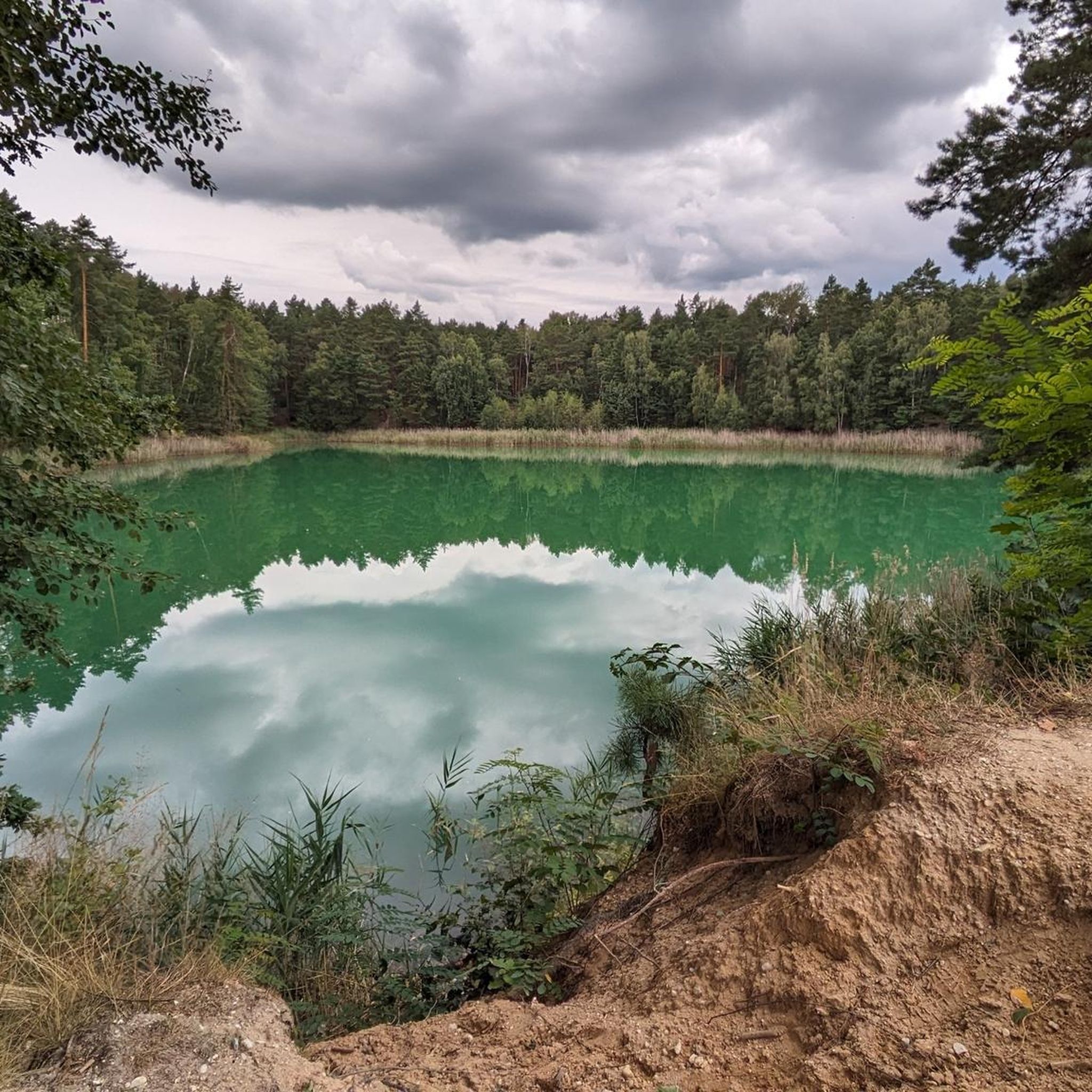
Running Trails around Weißwasser/O.L. - Běła Woda
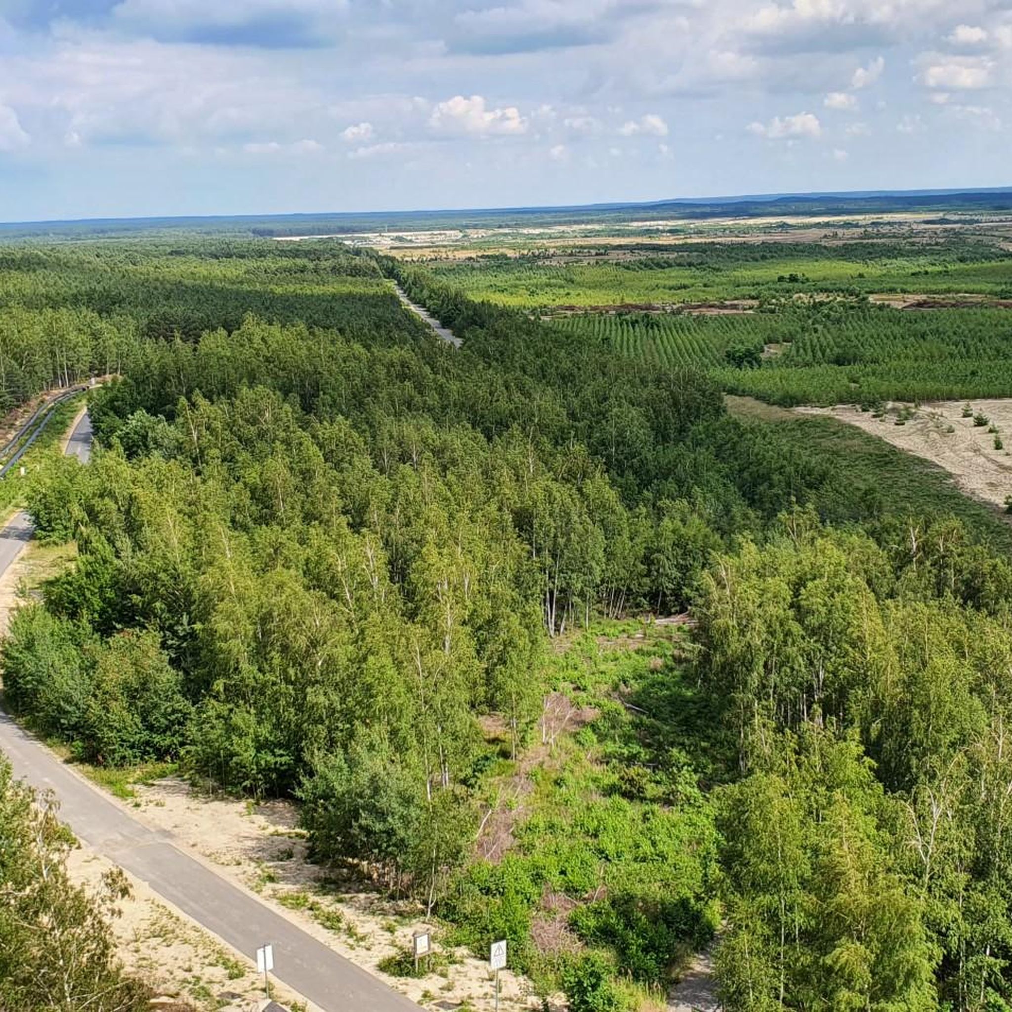
MTB Trails around Weißwasser/O.L. - Běła Woda
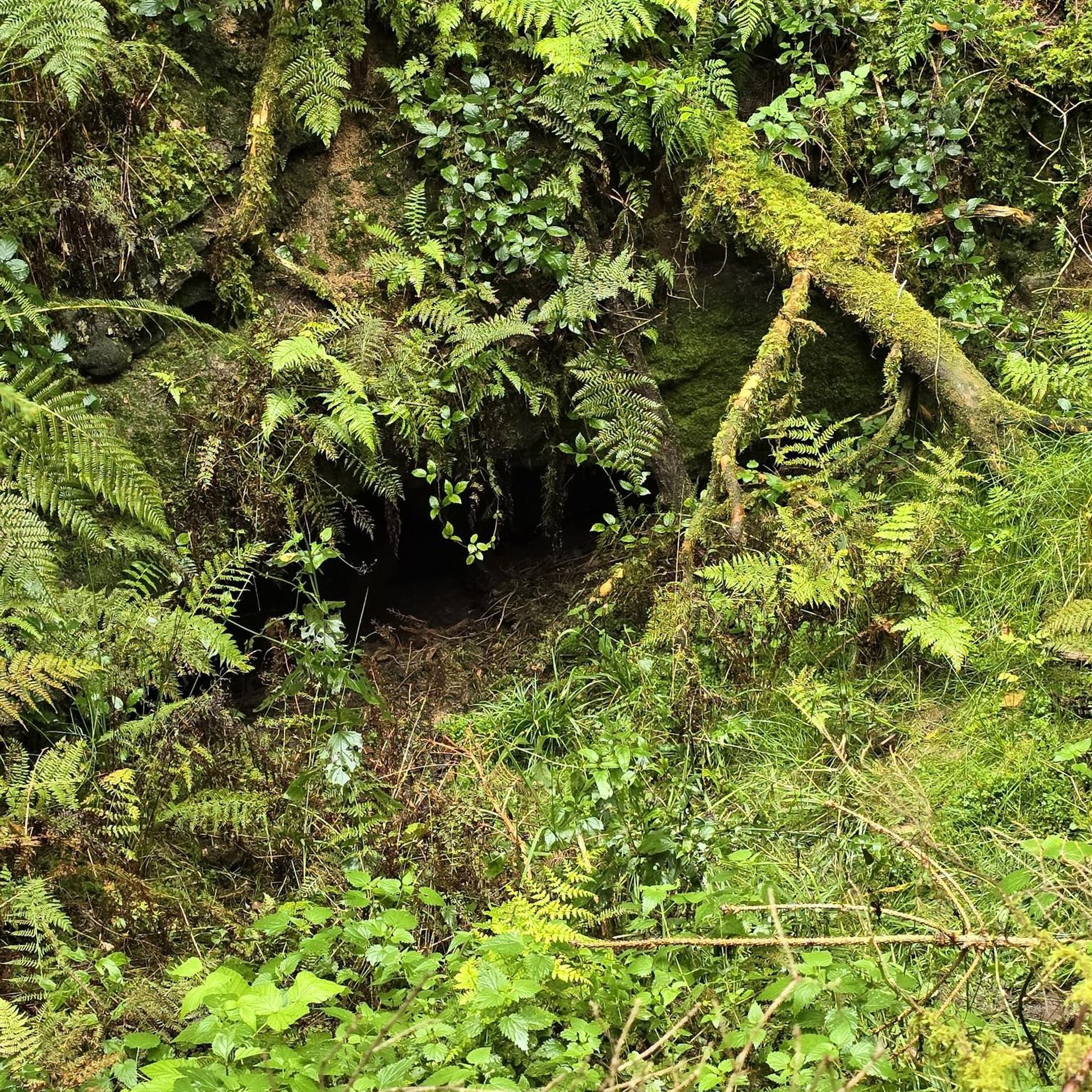
Gravel biking around Weißwasser/O.L. - Běła Woda
Other adventures around Weißwasser/O.L. - Běła Woda

Tips from the Community

Funny name for the raised hill at the German-Sorbian school complex in Schleife. There is even a summit cross. At the foot of the mountain there is a bench for a rest and there is even a trash can. The name refers to the construction department manager in Schleife.
1
0

Prince Pückler's grandfather actually grew wine here. A fire watchtower was built at the beginning of the 20th century. Below the hill are the Weinberghaus (formerly a tourist restaurant, now a private residence) and the Weinbergsee, a natural body of water. The Weinberg/Feuerturmberg is the second highest elevation in the former Weißwasser district after the Drachenberg.
8
0

The granite pillar embedded on the summit of the 175 m high Brandberg served as a first-order station for the triangulation of the European degree measurement. The Royal Prussian State Survey recorded the Märkisch Silesian triangular chain in the period from 1868 to 1872 and thus connected the triangular networks of the Kingdom of Saxony (Royal Saxon Triangulation) and the coastal survey with the Berlin base. The Brandberg station was number 21 in the Märkisch-Silesian triangle chain and from this station the peaks of Keulenberg, Hochstein, Rückenberg, Hutberg, Marienberg and Brautberg were targeted for the survey. Especially when connecting to the Saxon network, one benefited from the highly precise triangulation between Keulenberg, Strauch and Collm. The Märkisch Silesian triangular group has a connection to the Saxon triangular network in the south as well as a connection to the Thuringian Saxon in the west and to the Silesian triangular group in the east. In the north there is a connection to the Berlin line and the Elbe chain. The granite pillar is certainly not as impressive as the pillars with the inscriptions that give it its name, but it served the same purpose and had to be brought up the mountain in the 19th century. Although the Brandberg is not the highest mountain on the western flank of the Muskau Arch (https://de.wikipedia.org/wiki/Muskauer_Faltenbogen), it still lives up to its name today, with a fire watchtower on the summit for early forest fire detection (not public). The wooden signal pyramid above the pillar is quite crooked.
1
0

The Drachenberg summit is the highest elevation at 163 m above sea level. N.N. Here is more information about a
1
0
Now the Drachenberg summit is in sight. it is 163m above sea level. Another effort uphill and then it's done,
2
1
Another interesting post from the LR: https://www.lr-online.de/lausitz/weisswasser/krauschwitz-nicht-pilze_-dafuer-ein-quickie-38017084.html
9
0
There is nothing spectacular to see there, not even a bench to sit on:-( and only a view of the surrounding forest. But at 178 m one of the highest elevations in the Spree-Neisse district, idyllically situated and a varied stock of trees: pines, spruces and deciduous trees.
9
0

On the 162.8 m high Drachenberg you can enter your name in a summit book. How did the Drachenberg get its name? A legend tells that God created Lusatia and the devil put the coal on it. A dragon that settled here was supposed to protect the coal from humans. When humans began to mine the valuable raw material, dragon's blood seeped out of the dragon lying in the earth - known to us as red water. Little by little the kite dried up in the area between Krauschwitz and Weißwasser and left a large pool of blood: the brown pond. The back can still be seen today, because the many gies and elevations mark the peaks on the dragon's back. The largest of them is the Drachenberg. https://www.lr-online.de/lausitz/weisswasser/wie-der-drachenberg-zu-seinem-namen-kam-33304006.html
9
0
Frequently Asked Questions
What are the most notable "peaks" or elevations to explore around Weißwasser/O.L. - Běła Woda?
While the region is characterized by a gently rolling landscape rather than high mountains, several prominent elevations offer scenic views and recreational opportunities. The most popular is Drachenberge, standing at 162.8 meters. Other significant spots include the Vineyard near Weißwasser, the historical First-Order Triangulation Station Brandberg, and Marienberg (178 m).
Are there any family-friendly elevations or trails suitable for children around Weißwasser/O.L. - Běła Woda?
Yes, Mount Geidlich is considered family-friendly. This raised hill at the German-Sorbian school complex in Schleife features a summit cross and a bench for resting, making it an accessible and enjoyable spot for families.
What unique natural features can I expect to see when visiting the elevations in this region?
The region around Weißwasser/O.L. - Běła Woda is defined by forests, lakes, and a landscape shaped by its history. For instance, near the Vineyard near Weißwasser, you'll find the natural body of water known as Weinbergsee. Many elevations, like Marienberg (178 m), offer views over varied forest landscapes.
Are there any historical or cultural stories associated with the peaks in Weißwasser/O.L. - Běła Woda?
Yes, the Drachenberge is steeped in local folklore, with a legend telling of a dragon that once protected the region's coal resources. The various elevations and ridges are said to be the dragon's back. The Vineyard near Weißwasser also has historical significance, as Prince Pückler's grandfather once grew wine there.
What kind of outdoor activities can I do near these elevations?
The area offers a variety of outdoor activities. You can explore numerous cycling routes, such as the "Oder–Neisse Cycle Path" or a loop around "New Muskau Castle – Prince Pückler Park, Bad Muskau." For running, trails like the "Braunsteich Lake" loop are popular. Gravel biking is also an option, with routes like the "View of Bärwalder Lake" loop. You can find more details on these activities in the Cycling around Weißwasser/O.L. - Běła Woda, Running Trails around Weißwasser/O.L. - Běła Woda, and Gravel biking around Weißwasser/O.L. - Běła Woda guides.
What do visitors enjoy most about the elevations and trails around Weißwasser/O.L. - Běła Woda?
Visitors appreciate the unique local stories, historical significance, and the opportunity to engage with nature. The Drachenberge, for example, is popular for its summit book and the dragon legend. The area's blend of gentle landscapes, forests, and lakes provides a refreshing outdoor experience, as evidenced by 119 upvotes and 77 photos shared by the komoot community.
Are there any viewpoints offering panoramic vistas in the Weißwasser/O.L. - Běła Woda area?
While not traditional mountain peaks, several elevations provide good viewpoints. The Drachenberge offers views from its summit. The First-Order Triangulation Station Brandberg, at 175 meters, also served as a historical survey point, implying good sightlines. Marienberg (178 m) provides views of the surrounding forest.
What is the best time of year to visit the elevations and trails in Weißwasser/O.L. - Běła Woda?
The region is generally pleasant for outdoor activities from spring through autumn. These seasons offer mild weather, making it ideal for hiking, cycling, and exploring the natural and historical sites. While specific winter hiking trails are not highlighted, the forested areas can be beautiful under snow, though conditions may vary.
Can I bring my dog on the trails and to the elevations in this region?
Generally, trails in natural areas like those around Weißwasser/O.L. - Běła Woda are dog-friendly, provided dogs are kept on a leash and owners clean up after them. There are no specific restrictions mentioned for the highlighted elevations, making them suitable for walks with your canine companion.
Are there any facilities like cafes or accommodation near the trails and elevations?
The town of Weißwasser/O.L. - Běła Woda itself offers various amenities, including cafes, pubs, and accommodation options. While specific facilities directly at the summit of every elevation are not common, the town is a convenient base for exploring the surrounding area. For example, near the Vineyard near Weißwasser, you'll find the Weinberghaus, which was formerly a tourist restaurant.
What is the highest point in the immediate vicinity of Weißwasser/O.L. - Běła Woda?
The highest point directly identified in the immediate surroundings of Weißwasser/O.L. - Běła Woda is the Drachenberge, which stands at 162.8 meters (approximately 534 ft) above sea level.
How do the elevations around Weißwasser/O.L. - Běła Woda compare to other mountain regions in Saxony?
The elevations around Weißwasser/O.L. - Běła Woda are part of the Upper Lusatia region, which is characterized by a generally flat to gently rolling landscape. These are modest hills and rises, not high mountain peaks. For comparison, the broader Upper Lusatian Highlands further south contain higher elevations, such as the Valtenberg, which is 587 meters, significantly taller than any peak directly near Weißwasser/O.L. - Běła Woda.
Most popular routes around Weißwasser/O.L. - Běła Woda
Most popular attractions around Weißwasser/O.L. - Běła Woda

Get inspired with the komoot mobile app


Explore more
See even more amazing summits around Weißwasser/O.L. - Běła Woda with these guides:
