The best hikes from bus stations around Weißwasser/O.L. - Běła Woda
4.6
(608)
2,579
hikers
72
hikes
Hiking around Weißwasser/O.L. - Běła Woda offers diverse natural landscapes shaped by extensive forests, numerous lakes, and rivers. The region is situated within the Muskau Arch Geopark, a UNESCO Global Geopark known for its Ice Age landscape and unique geological features like "Tagbrüche" (crater-like sinkholes). Past lignite mining has also created distinctive artificial lakes, contributing to the varied terrain. This area provides a mix of flat paths around water bodies and trails through forested areas.
Best bus station hiking trails…
Last updated: June 27, 2026
4.9
(15)
77
hikers
Moderate hike. Good fitness required. Easily-accessible paths. Suitable for all skill levels.
5.0
(5)
14
hikers
Moderate hike. Good fitness required. Easily-accessible paths. Suitable for all skill levels.

Sign up for free
4.3
(4)
14
hikers
Moderate hike. Good fitness required. Easily-accessible paths. Suitable for all skill levels.
9
hikers
Easy hike. Great for any fitness level. Easily-accessible paths. Suitable for all skill levels.
5.0
(1)
9
hikers
Easy hike. Great for any fitness level. Easily-accessible paths. Suitable for all skill levels.
Get access to more routes and recommendations from other explorers.
Sign up for free
Already have an account?
Our route recommendations are based on thousands of hikes, rides, and runs completed by other people on komoot.
Start today with a free account
Your next adventure awaits.
Login or Signup
Popular around Weißwasser/O.L. - Běła Woda
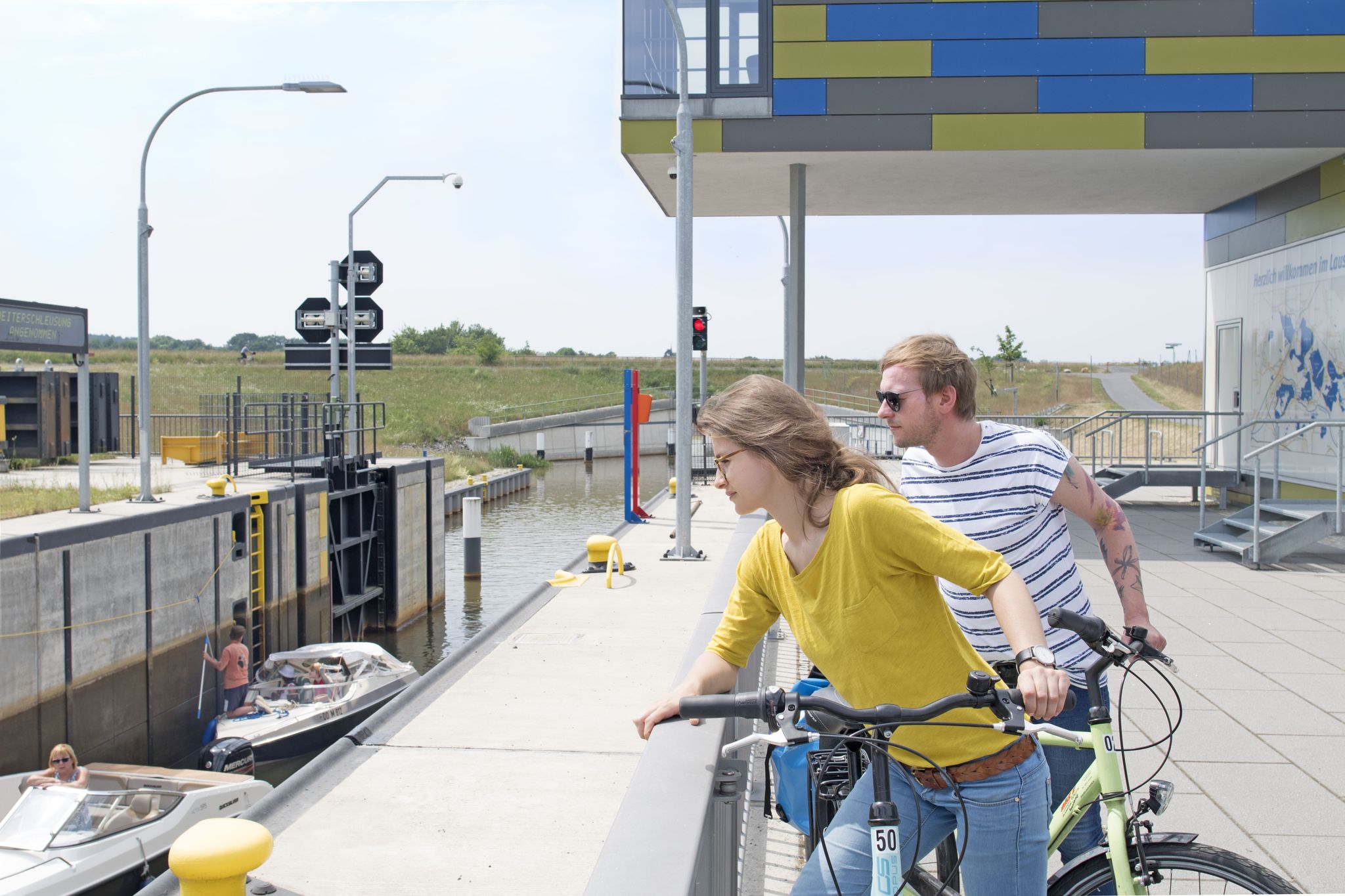
Other adventures around Weißwasser/O.L. - Běła Woda

Tips from the Community

The explanation of the ground conditions has also been made very clear.
0
0

Shame on us - what have we done???
0
0
We should be ashamed of what we have done to the Earth – our planet. I know I share the blame.
0
0

On the former Weißwasser–Bad Muskau railway line. The 7.7-kilometer-long line was first used on October 15, 1872. From the Waldhaus (Forest House), it was a short distance to the Pioneer Camp at Braunsteich, now the KIEZ (Children's and Youth Recreation Center). Passenger service was discontinued on May 22, 1977. Freight traffic continued until the 1990s. The line was officially closed on January 1, 2001.
2
0
On the way to Drachenberg, opposite is a water lily pond.
2
0
Located between the old Hermann mining area and Kromlau Park. Spectacular in every season: the delicate green in spring, the lush green in summer, the vibrant colors in autumn, and the carpet of leaves, the imposing trees without foliage in winter.
1
0

Sculpture at the Jahnsteich. In honor of Friedrich Ludwig Jahn.
0
0

located in the middle of the forest
1
0
Frequently Asked Questions
How many bus station hiking trails are available in Weißwasser/O.L. - Běła Woda?
There are over 70 hiking trails accessible from bus stations around Weißwasser/O.L. - Běła Woda, offering a wide range of options for exploring the region's diverse landscapes.
Are there easy hiking options accessible by bus in this region?
Yes, the area offers many easy routes. More than 55 of the bus-accessible trails are rated as easy, making them suitable for casual walkers or those looking for a relaxed outing. An example is the Braun Pond – Braunsteich Lake loop, which is just over 5 km long.
Are there circular hiking routes starting from bus stations?
Absolutely. Many of the trails are designed as circular routes, allowing you to start and end your hike at the same bus stop without retracing your steps. For instance, the Braunsteich Lake – Braun Pond loop offers a scenic round trip.
What natural landmarks or attractions can I see on these bus-accessible routes?
The region is rich in natural beauty and unique geological features. You can explore the UNESCO Global Geopark Muskau Arch, known for its Ice Age landscape. Many routes also lead to the distinctive artificial lakes formed by lignite mining. Don't miss the iconic Rakotz Bridge (Devil's Bridge) in Rhododendron Park Kromlau, or the fascinating Basalt Organ at Rakotz Lake, which can be part of a hike like the Blue Lagoon – Basalt Organ loop.
Are the bus-accessible trails suitable for families?
Yes, many trails are family-friendly, offering relatively flat terrain and shorter distances. The numerous lakes and parks provide pleasant environments for children. Consider routes around the Water Lily Pond or Braun Pond for an enjoyable family outing.
Can I bring my dog on these bus-accessible hikes?
Most trails in the Weißwasser/O.L. - Běła Woda region are dog-friendly, especially those through forests and around lakes. Always keep your dog on a leash, especially near wildlife or in designated protected areas, and remember to carry water for them. Check local signage for any specific restrictions.
What is the best season for hiking around Weißwasser/O.L. - Běła Woda when using public transport?
The best seasons for hiking are typically spring and autumn. In spring, the Rhododendron Park Kromlau bursts with vibrant blossoms, while autumn offers spectacular autumnal colors across the extensive forests. Both seasons provide pleasant temperatures for walking.
Are there any unique geological features to explore on these trails?
Yes, the region is part of the Muskau Arch Geopark, a UNESCO Global Geopark. You can encounter unique geological formations like "Tagbrüche" – crater-like sinkholes and cracks resulting from past lignite mining – which offer a distinctive natural spectacle. The View of the Nochten open-pit mine loop provides insight into the landscape shaped by mining.
What do other hikers enjoy the most about hiking in Weißwasser/O.L. - Běła Woda?
The area is highly rated by the komoot community, with an average score of 4.6 stars. Reviewers often praise the diverse natural landscapes, the tranquility of the extensive forests, and the unique blend of natural beauty with historical sites like the Rakotz Bridge. The well-maintained paths and accessibility by public transport are also frequently highlighted.
Are there any trails that offer views of the region's industrial heritage?
Yes, some routes provide unique perspectives on the region's lignite mining history. The View of the Nochten open-pit mine loop is a prime example, offering views of the transformed landscape and the scale of past industrial activity, now integrated into the natural environment.
Can I find trails that lead to viewpoints or scenic overlooks?
Many trails in the region offer scenic viewpoints, especially those traversing the Drachenberge (Dragon Mountains) or along the edges of the artificial lakes. These spots provide panoramic views of the unique Ice Age landscape and the vast forests. The Ridge Trail at Drachenberg is a great option for elevated perspectives.
Most popular routes around Weißwasser/O.L. - Běła Woda
Most popular attractions around Weißwasser/O.L. - Běła Woda

Get inspired with the komoot mobile app


Explore more
Browse the best Hikes in other regions.
