The best walks and hikes around Weißwasser/O.L. - Běła Woda
4.6
(685)
2,886
hikers
154
hikes
Hiking around Weißwasser/O.L. - Běła Woda offers diverse natural landscapes, characterized by extensive forests and numerous lakes. The region is situated within Germany's second largest forest area, nestled between the Spree and Neisse rivers. It is also part of the UNESCO Muskau Fold Geopark, featuring a richly structured Ice Age landscape and notable elevations like the Drachenberg. This area provides a variety of trails suitable for exploring its unique ecological features and aquatic beauty.
Best hiking trails around Weißwasser/O.L. -…
Last updated: August 29, 2026
4.7
(112)
337
hikers
Moderate hike. Good fitness required. Easily-accessible paths. Suitable for all skill levels.
4.8
(13)
76
hikers
Easy hike. Great for any fitness level. Easily-accessible paths. Suitable for all skill levels.

Sign up for free
4.7
(10)
20
hikers
6.41km
01:39
30m
30m
Easy hike. Great for any fitness level. Easily-accessible paths. Suitable for all skill levels.
3.5
(4)
16
hikers
Moderate hike. Good fitness required. Easily-accessible paths. Suitable for all skill levels.
4.9
(15)
79
hikers
Moderate hike. Good fitness required. Easily-accessible paths. Suitable for all skill levels.
Get access to more routes and recommendations from other explorers.
Sign up for free
Already have an account?
Our route recommendations are based on thousands of hikes, rides, and runs completed by other people on komoot.
Start today with a free account
Your next adventure awaits.
Login or Signup
Popular around Weißwasser/O.L. - Běła Woda
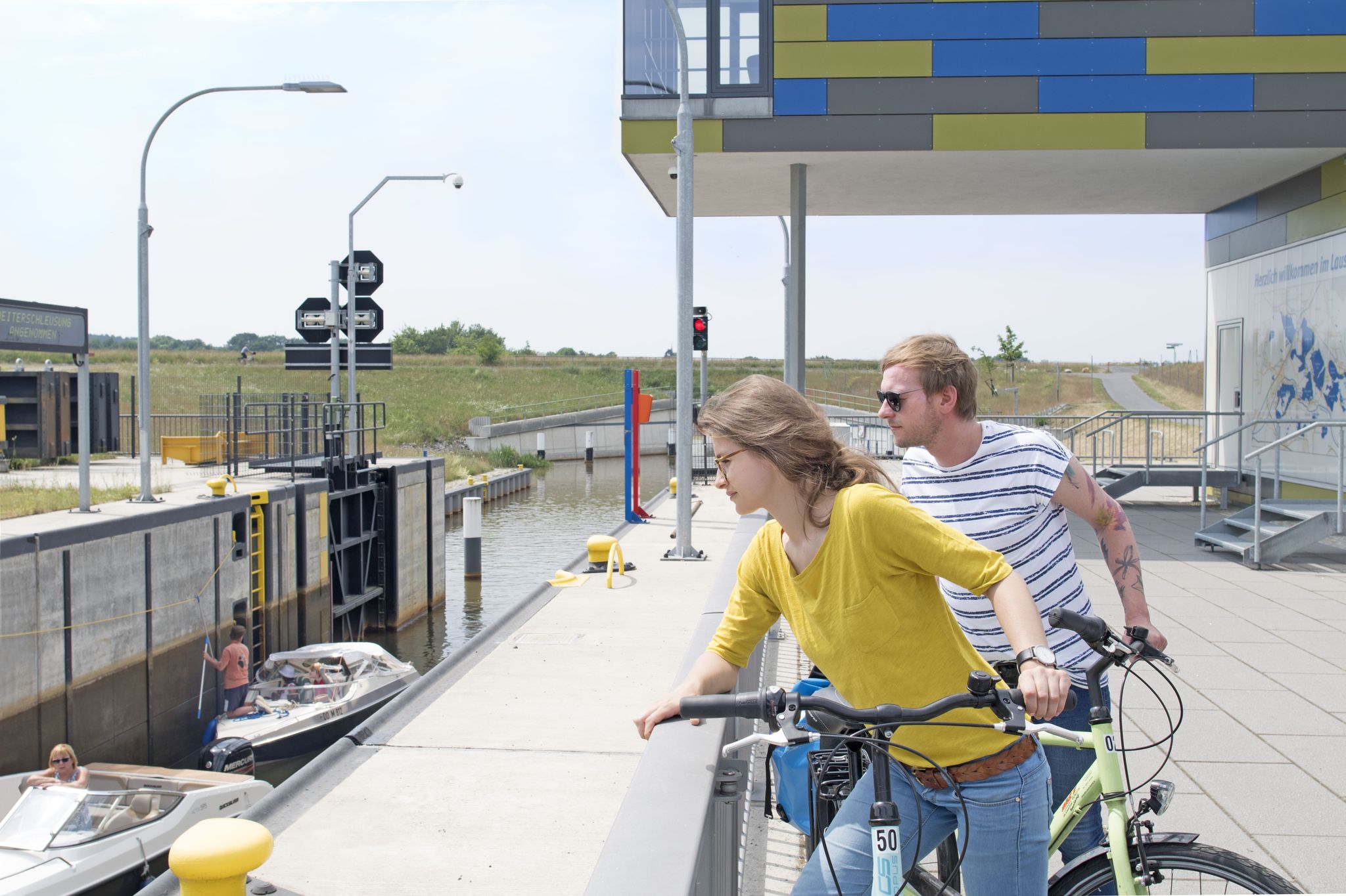
Thematische Tagestouren mit dem Rad durch das Lausitzer Seenland
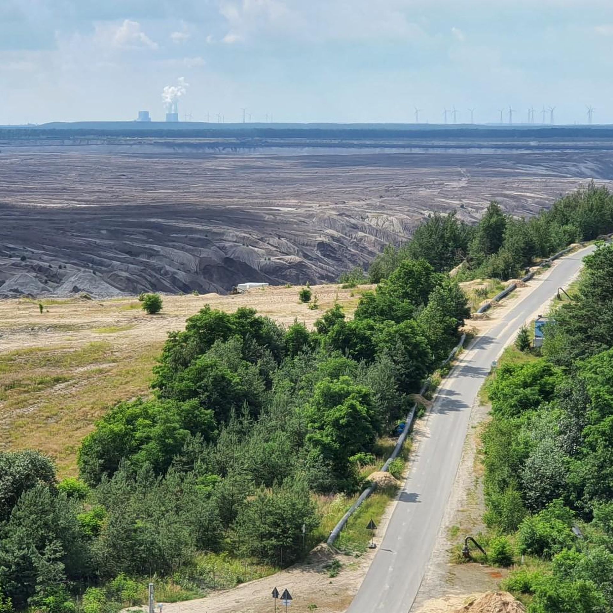
Cycling around Weißwasser/O.L. - Běła Woda
Road Cycling Routes around Weißwasser/O.L. - Běła Woda
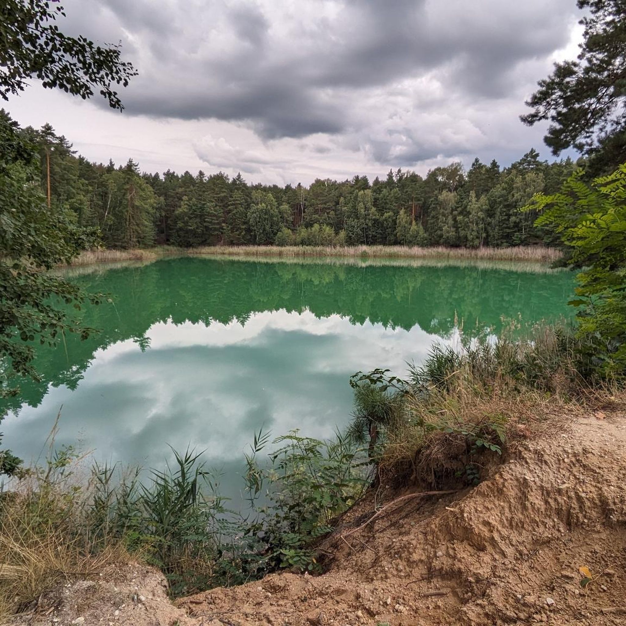
Running Trails around Weißwasser/O.L. - Běła Woda
MTB Trails around Weißwasser/O.L. - Běła Woda
Gravel biking around Weißwasser/O.L. - Běła Woda
Other adventures around Weißwasser/O.L. - Běła Woda

Tips from the Community

The two strange structures, which are supposed to represent grottos, are located not far from the famous Rakotzbrücke in the Rhododendronpark in Kromlau and are built from light natural stone and dark basalt.
12
0

On the former Weißwasser–Bad Muskau railway line. The 7.7-kilometer-long line was first used on October 15, 1872. From the Waldhaus (Forest House), it was a short distance to the Pioneer Camp at Braunsteich, now the KIEZ (Children's and Youth Recreation Center). Passenger service was discontinued on May 22, 1977. Freight traffic continued until the 1990s. The line was officially closed on January 1, 2001.
2
0
On the way to Drachenberg, opposite is a water lily pond.
2
0

It's just incredibly beautiful here 😊.
1
0
It's just incredibly beautiful here 😊.
0
1

located in the middle of the forest
1
1
Beautiful lake in the forest
1
1

It's a beautiful view
0
1
Frequently Asked Questions
How many hiking trails are available in Weißwasser/O.L. - Běła Woda?
There are over 140 hiking trails in Weißwasser/O.L. - Běła Woda, offering a wide range of options for all skill levels. Over 90 of these are considered easy, making the area very accessible for casual walkers and beginners.
Are there easy or beginner-friendly hiking routes in the area?
Yes, Weißwasser/O.L. - Běła Woda is very beginner-friendly, with over 90 easy routes. A great option for a relaxed stroll is the Braun Pond – Braunsteich Lake loop from Keulaer Tiergarten, which is just 2.1 miles (3.5 km) long and offers tranquil natural views.
What kind of natural features can I expect to see on hikes around Weißwasser/O.L. - Běła Woda?
The region is characterized by extensive forests, numerous lakes, and unique geological formations within the UNESCO Muskau Fold Geopark. You'll encounter picturesque lakes like Braunsteich Lake, and the distinctive Ice Age landscape of the Geopark. The area is also known for its heathland, offering diverse ecological features.
Are there any notable landmarks or attractions along the hiking trails?
Absolutely! Many trails lead to or pass by significant attractions. A must-see is the Rakotz Bridge (Devil's Bridge) within the Rhododendron Park Kromlau. You might also encounter the New Muskau Castle or the New Muskau Palace (Fürst-Pückler Park Bad Muskau), both offering beautiful scenery and historical interest.
Are there family-friendly hiking options in Weißwasser/O.L. - Běła Woda?
Yes, the region has many routes suitable for families. The abundance of easy trails and relatively flat terrain around the lakes makes it ideal for outings with children. Look for shorter loops with minimal elevation gain for the most family-friendly experiences.
Can I bring my dog on the hiking trails?
Most hiking trails in Weißwasser/O.L. - Běła Woda are dog-friendly, allowing you to explore the natural beauty with your canine companion. However, always keep your dog on a leash, especially in nature reserves or near wildlife, and be mindful of local regulations in parks or specific attractions.
Are there circular walks available?
Yes, many of the trails in Weißwasser/O.L. - Běła Woda are designed as circular walks, allowing you to start and end at the same point without retracing your steps. An example is the Drachenberg Summit – Forest Guardian Wood Sculptures loop from Braunsteich, which offers a varied experience in a loop format.
What is the best time of year to go hiking in Weißwasser/O.L. - Běła Woda?
The region is beautiful year-round. Spring offers vibrant rhododendron blooms in Kromlau, while summer is perfect for lakeside walks. Autumn brings stunning fall foliage to the forests. Even winter hiking can be enjoyable, with crisp air and serene landscapes, though some paths might be icy or muddy.
Is parking available at the trailheads?
Yes, parking is generally available near popular trailheads and attractions throughout Weißwasser/O.L. - Běła Woda. Specific parking information can often be found on individual route pages on komoot or local tourism websites.
What do other hikers enjoy most about hiking in Weißwasser/O.L. - Běła Woda?
The area is highly rated by the komoot community, with an average score of 4.6 stars from over 550 reviews. Hikers often praise the diverse natural landscapes, the tranquility of the forests and lakes, and the well-maintained trails that cater to various fitness levels. The unique geological features of the Muskau Fold Geopark and the architectural marvel of Rakotz Bridge are also frequently highlighted.
Are there any routes that feature the UNESCO Muskau Fold Geopark?
Yes, the entire region is part of the UNESCO Muskau Fold Geopark, so many routes will allow you to experience its unique Ice Age landscape. Trails like the 'Geopfad Drachenberge' specifically highlight geological interests, and the Drachenberg Summit – Forest Guardian Wood Sculptures loop from Braunsteich takes you to a notable elevation within this fascinating geological area.
Can I reach hiking trails using public transport?
While some areas might be accessible by local buses, having a car generally offers more flexibility to reach various trailheads across the Weißwasser/O.L. - Běła Woda region, especially for routes that venture deeper into the forests or connect to smaller villages.
Most popular routes around Weißwasser/O.L. - Běła Woda
Most popular attractions around Weißwasser/O.L. - Běła Woda

Get inspired with the komoot mobile app


Explore more
Browse the best Hikes in other regions.
