Top 12 Gorges around Strotzbüsch
Best canyons around Strotzbüsch are located in Germany's volcanic Eifel region, characterized by deep, picturesque stream valleys. These geological formations are a significant draw for nature enthusiasts and hikers. The area's volcanic past has shaped a landscape featuring secluded sections and meandering streams, contributing to its unique natural character.
Best canyons around Strotzbüsch
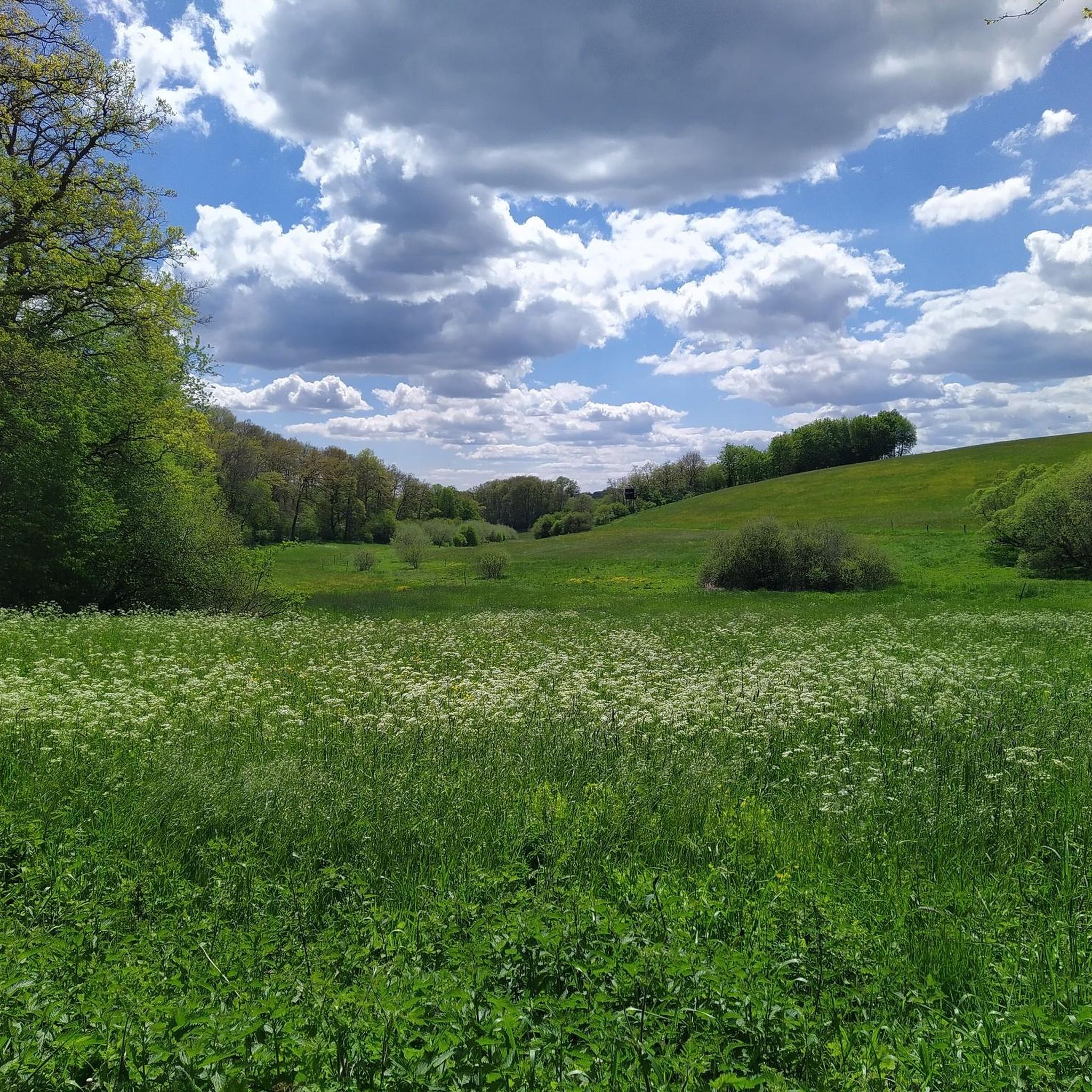
- The most popular canyons is Lieserpfad Hiking Trail, a trail featuring dreamlike rock paths along the Lieser. This area offers untouched nature and a varied landscape.
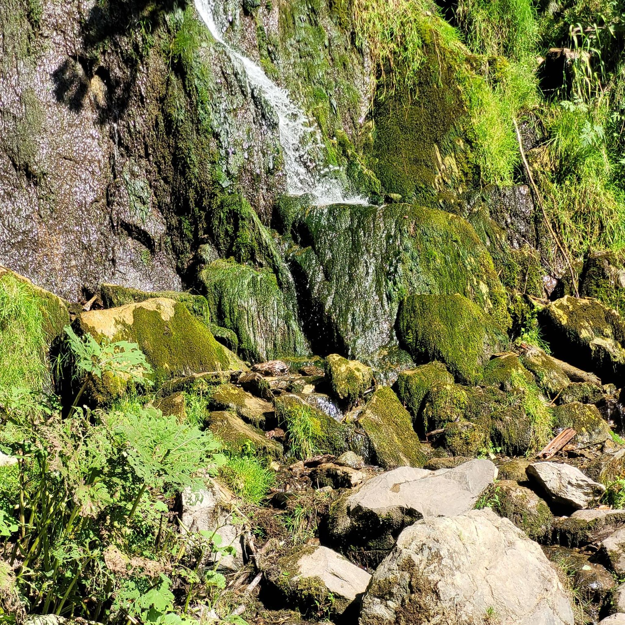
- Another must-see spot is Strohner Switzerland, a gorge known for its steep lava walls and wildly romantic landscape. It is a breakthrough valley of the Alfbach, part of the longest lava flow in the Eifel.
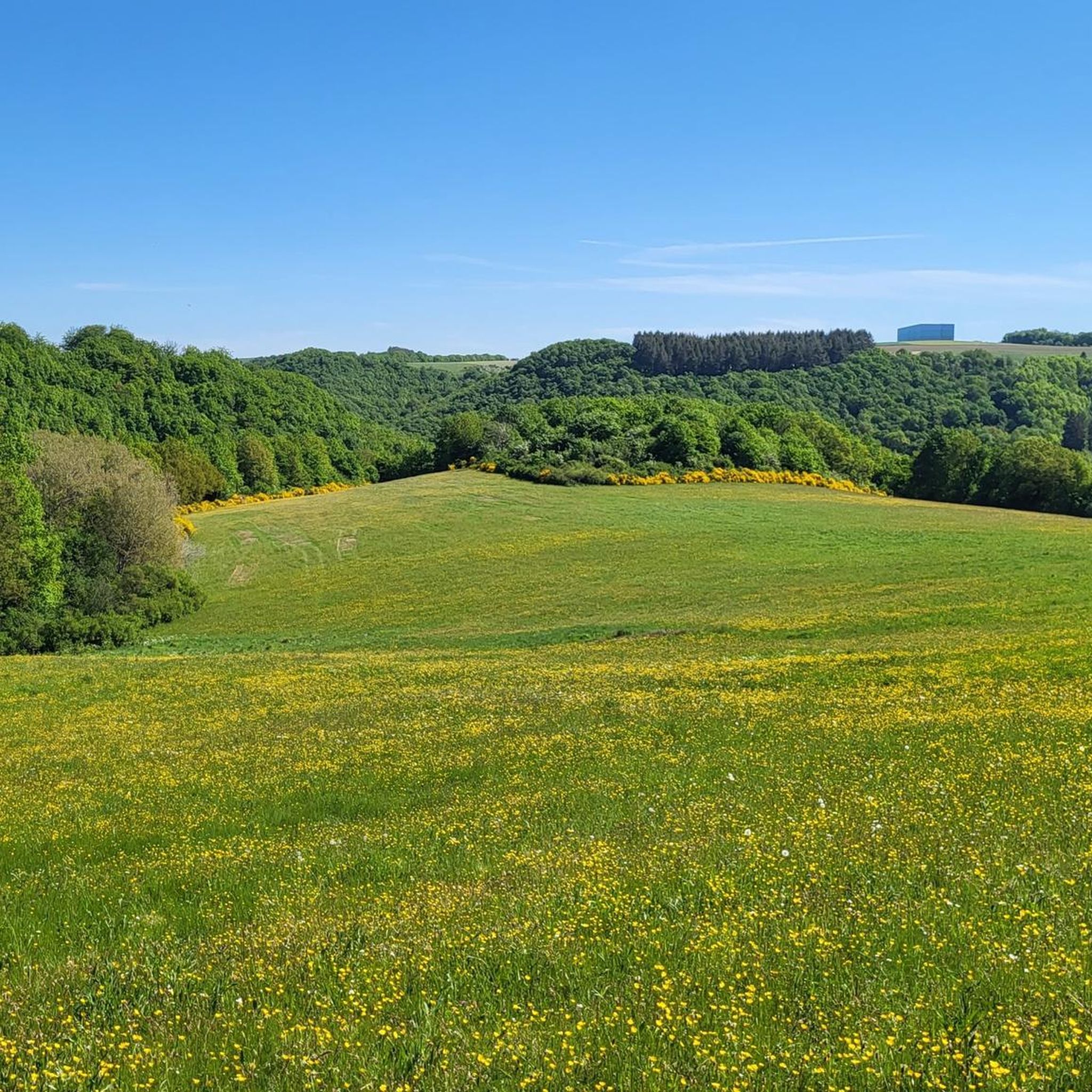
- Visitors also love Idyllic Alfbach Valley, a gorge where the Alfbach flows wildly and romantically. A small, narrow path leads along the stream through steep volcanic rock slopes.
- Strotzbüsch is known for its stream valleys, volcanic gorges, and areas with steep rock paths. Visitors can explore a variety of geological formations and diverse natural landscapes.
- The canyons around Strotzbüsch are appreciated by the komoot community, with more than 500 upvotes and over 600 photos shared.
Last updated: May 14, 2026
Lieserpfad Hiking Trail
Highlight (Segment) • Trail
Can be reached by public transport in Daun, Manderscheid and Wittlich, but not every hour. ;-)
Translated by Google •
Tip by

Strohner Switzerland
Highlight • Gorge
Translated by Google •
Tip by

Sign up now to discover places like this
Get recommendations on the best single tracks, peaks, & plenty of other exciting outdoor places.
Sign up for free
Idyllic Alfbach Valley
Highlight • Gorge
Translated by Google •
Tip by

Strohner Schweiz Gorge (Alfbach Valley)
Highlight • Gorge
Translated by Google •
Tip by

Translated by Google •
Tip by

Sign up for free to discover even more gorges around Strotzbüsch.
Sign up for free
Already have an account?
Start today with a free account
Your next adventure awaits.
Login or Signup
Popular around Strotzbüsch



Tips from the Community

Eifelsteig stage 12 passes at this point. https://youtu.be/EGc9DxGhyIM
0
0

Simply experience a wonderful piece of nature.
0
0

Beautiful valley along the stream. The Alfbach is integrated into the hiking trail "Strohner Schweiz"
0
0


The Alf (also: "Alfbach") is a nearly 52 km long, orographically left tributary of the Moselle. The Alf rises about 1 km northeast of Hörscheid in the Volcanic Eifel. From its source at 549 m above sea level, the Alf initially flows in a southerly direction. The first town on its route is Darscheid, past whose eastern edge it flows. The next towns directly along its course are Gillenfeld and Strohn. In its upper reaches up to Strohn, the Alf flows for a long time in a wide and broadly gravelled valley, which is followed from near Steiningen to just before Udler, which is also outside the valley basin, briefly by the A 48 motorway and then for a longer period by the A 1 motorway, and a little later, starting at the Mehren industrial estate and ending at Gillenfeld, the Maare-Mosel cycle path, which runs there on the route of the former railway line from Wittlich to Daun. In the following middle section, which continues southwards to Bausendorf, the course of the Alf is quite winding and is more deeply embedded in the Eifel hills; there are only mills on the river. While the direction of the river was predominantly south up to Bausendorf, it turns east there and flows through the towns of Kinderbeuern and Bengel, south of the Kondelwald. Around 3.5 km downstream from Bengel, it abruptly turns north, as the ridge with the Reiler Hals blocks the further route eastwards to the Moselle, which is only 500 m away. After the Alf has taken in the Üßbach from the northwest, by far its largest tributary, whose partial catchment area even exceeds its own up to that point, it breaks its way eastwards for less than three kilometres through the Moselle mountains and then flows into the Moselle from the left in Alf in the Cochem-Zell district at 92 m above sea level. After a 52 km long course with an average bed gradient of 8.8 ‰, the Alf flows into the river 459 meters below its source.
0
0
A beautiful, narrow path, on which you feel completely safe, leads through the short stretch of Strohner Schweiz, along the wildly romantic Alfbach.
2
0
Frequently Asked Questions
What are the most notable stream valleys or 'canyons' to explore around Strotzbüsch?
The region is known for its picturesque stream valleys. Highly recommended are the Lieserpfad Hiking Trail, which features dreamlike rock paths along the Lieser, and Strohner Switzerland, a gorge with steep lava walls and a wildly romantic landscape. Another beautiful spot is the Idyllic Alfbach Valley, where the Alfbach flows through steep volcanic rock slopes.
What unique natural features can I discover in the stream valleys near Strotzbüsch?
The area is shaped by its volcanic past. In the Üßbachtal, you can find the Strotzbüscher Source, a warm mineral water spring with high mineral content. The Strohner Switzerland gorge is part of the longest lava flow in the Eifel, showcasing dramatic steep lava walls and basalt chunks.
Are there family-friendly hiking options in the canyons around Strotzbüsch?
While some trails require surefootedness, many sections of the stream valleys offer paths suitable for families. The Idyllic Alfbach Valley, for instance, has a narrow hiking path that is easy to walk, though not barrier-free. Always check specific route details for difficulty and suitability for younger hikers.
What is the best time of year to visit the stream valleys and gorges in Strotzbüsch?
The region's stream valleys are beautiful year-round. Spring brings lush greenery and blooming flora, while autumn offers vibrant fall colors. Summer is ideal for longer hikes, and even winter can be magical with snow, though some paths might be more challenging. The 'wildly romantic' landscape is captivating in any season.
What kind of hiking trails can I expect in the Vulkaneifel Nature and Geopark?
You can expect a variety of trails, from leisurely strolls to more challenging excursions. Many routes, like the Lieserpfad Hiking Trail, feature dreamlike rock paths and require surefootedness. There are also narrow slate trails along steep valley slopes offering great views.
What other outdoor activities are available near the canyons of Strotzbüsch?
Beyond hiking, the Strotzbüsch area offers excellent opportunities for other outdoor sports. You can find numerous road cycling routes and running trails that explore the diverse landscape of the Eifel region.
Are there any circular hiking routes that include these stream valleys?
Yes, the region offers several circular routes. A popular example is the "HeimatSpur Mühlenweg Strotzbüsch – GesundLand Vulkaneifel," which winds through natural stream valleys. Many local trails, including those around Strohner Switzerland, can be combined into circular walks.
What do visitors enjoy most about the stream valleys around Strotzbüsch?
Visitors frequently praise the untouched nature, beautiful landscapes, and the tranquil, immersive natural experience. The 'wildly romantic' character of places like Strohner Switzerland and the varied terrain of the Lieserpfad are particularly appreciated.
Is the Üßbachtal accessible for hiking, and what can I see there?
The Üßbachtal is well-integrated into the local hiking network, with marked trails leading from Strotzbüsch into the valley. It's known for its secluded and wild sections, a meandering stream, and the unique Strotzbüscher Source, a warm mineral spring. Accessing the source might involve an adventurous descent.
Are the trails in the stream valleys dog-friendly?
Many hiking trails in the Eifel region, including those through the stream valleys, are generally dog-friendly. However, it's always advisable to keep dogs on a leash, especially in nature reserves or on narrow paths where surefootedness is required, such as parts of the Lieserpfad.
What is the geological significance of the 'canyons' around Strotzbüsch?
The entire region, including its deep stream valleys, is profoundly shaped by its volcanic past. These 'canyons' are often breakthrough valleys where rivers have carved their way through ancient lava flows and volcanic rock, creating dramatic formations like those seen in Strohner Switzerland.
Most popular routes around Strotzbüsch
Most popular attractions around Strotzbüsch

Get inspired with the komoot mobile app


Explore more
Already discovered everything in this region? See additional gorges around Strotzbüsch for your next adventure:
