The best road cycling routes around Area I (Youbou / Meade Creek)
5.0
(1)
42
riders
3
rides
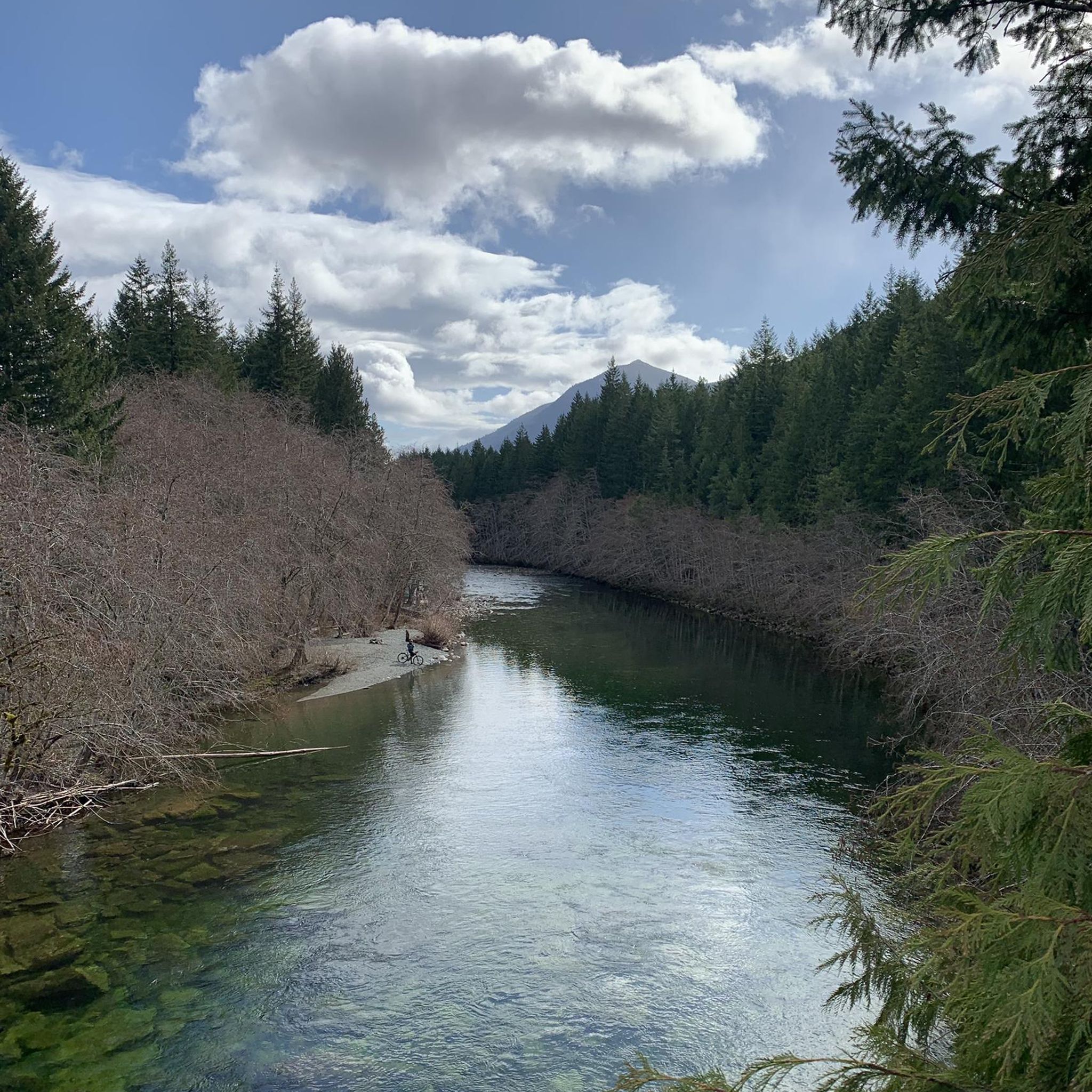
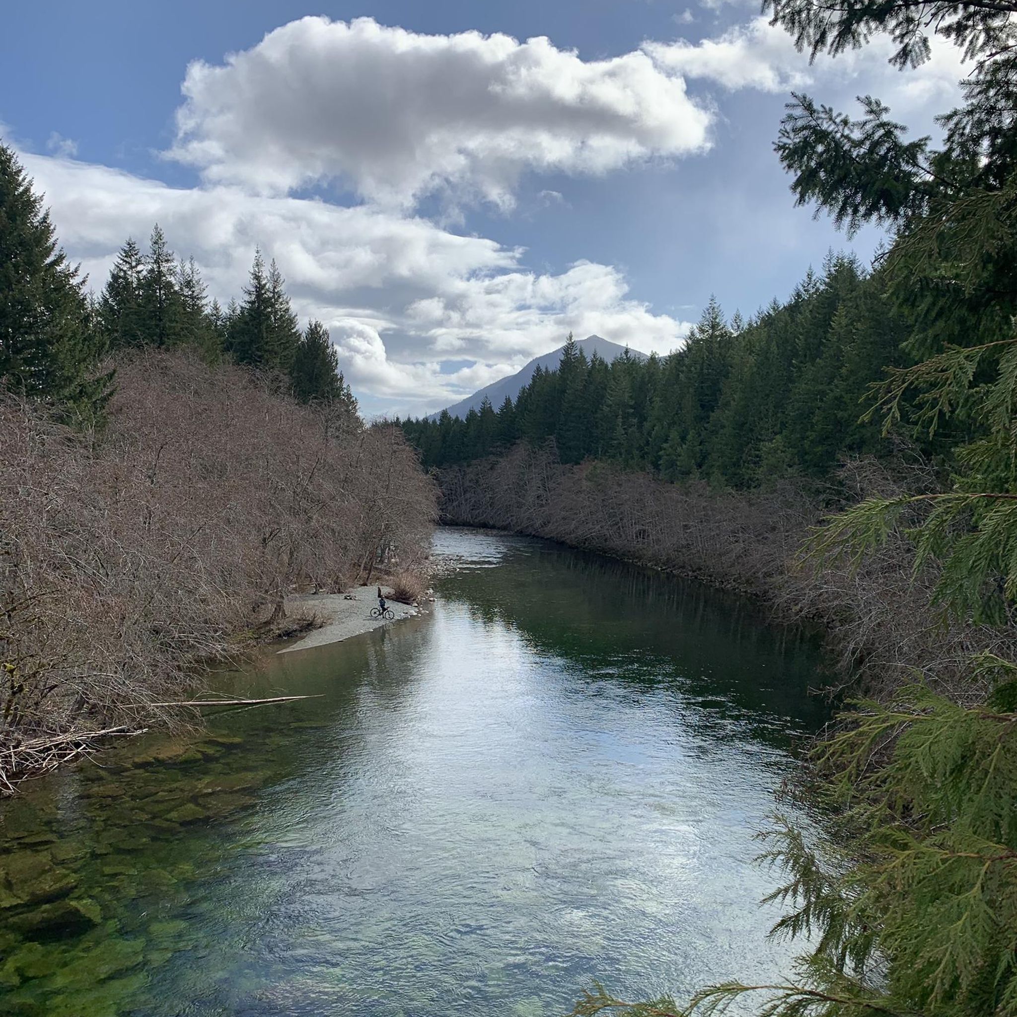
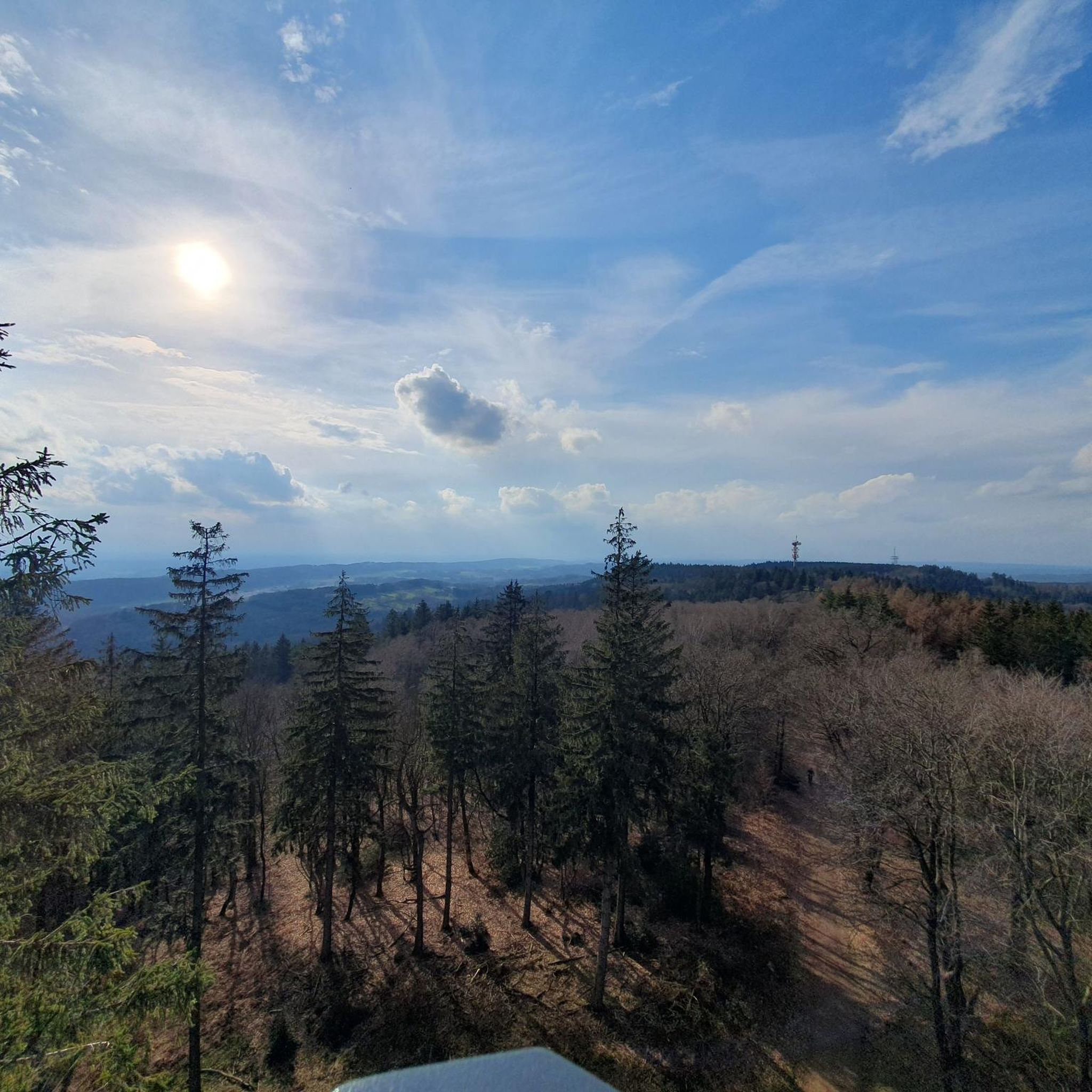
Road cycling around Area I (Youbou / Meade Creek) offers diverse landscapes for cyclists. The region is characterized by the expansive Lake Cowichan and the winding Cowichan River, providing scenic routes. Cyclists encounter varied terrain, from forested paths to areas with significant elevation changes, including views of surrounding mountains. The landscape combines wooded areas with less tree-covered higher elevations, offering a mix of challenges and vistas.
Best road cycling routes around Area I (Youbou / Meade Creek)
- The most popular…
Last updated: July 1, 2026
5.0
(1)
22
riders
113km
05:04
1,110m
1,110m
Hard road ride. Very good fitness required. Mostly well-paved surfaces and easy to ride.
13
riders
62.4km
02:44
580m
580m
Moderate road ride. Good fitness required. Mostly well-paved surfaces and easy to ride.

Sign up for free
7
riders
75.2km
03:23
740m
740m
Moderate road ride. Good fitness required. Mostly well-paved surfaces and easy to ride.
Our route recommendations are based on thousands of hikes, rides, and runs completed by other people on komoot.
Start today with a free account
Your next adventure awaits.
Login or Signup
Popular around Area I (Youbou / Meade Creek)
Tips from the Community

Fairy Lake Recreation Site has 36 campsites for both tents and small RVs, with premium waterfront spots. Facilities include pit toilets, fire pits, and picnic tables at each site. The lake features a sandy beach for swimming, a non-motorized boat launch, and excellent fishing for cutthroat trout and Dolly Varden.
0
0

Narrow bridge in the river delta just before the bay of Port Renfrew. Name of the bridge and the surroundings show: Here you can see wildlife (at the right time of day)!
0
0
Very beautiful lake just before Port Renfrew. Especially the small tree growing in the middle of the lake deserves a picture!
0
0
A beautiful little lake in the woods with a campsite that lives up to its name: Swimming should be here only, who is not afraid to see strange Lizards in the water. A leap to refreshment should still be worthwhile. There are also toilets here.
0
0
Here is a very nice vantage point on the course of the Harris Creek. Only about 20m from the path, it's worth it!
0
0
At this point, Harris Creek is so incredibly clear - you just have to look at it!
0
0
The Harris Creek Spruce is a gigantic, century-old spruce halfway from Lake Cowichan to Port Renfrew. In the area there are other very impressive trees to visit. This one has the particular advantage that it can be reached from the road within only about 50m, so a short break is really worth it!
0
0
Frequently Asked Questions
How many road cycling routes are there in Area I (Youbou / Meade Creek)?
There are 3 road cycling routes available in Area I (Youbou / Meade Creek) that are highly rated by the komoot community. These routes offer a mix of moderate and difficult options, catering to different skill levels.
What kind of terrain can I expect on road cycling routes in Area I (Youbou / Meade Creek)?
Road cycling in Area I offers diverse terrain. You'll find routes with varied surfaces, from mostly paved roads to segments that may be unpaved, especially on trails like parts of the Cowichan Valley Trail. Expect significant elevation changes on some routes, providing challenging ascents and panoramic views of Lake Cowichan and the surrounding mountains.
What natural features or landmarks can I see while road cycling in Area I (Youbou / Meade Creek)?
While road cycling in Area I, you can enjoy views of the expansive Lake Cowichan and the winding Cowichan River. Notable natural landmarks include Bald Mountain and Mount Whymper. The region is characterized by forests and the fertile Cowichan Valley. A significant attraction nearby is the historic Kinsol Trestle Bridge, part of the Cowichan Valley Trail.
Are there challenging road cycling routes in Area I (Youbou / Meade Creek)?
Yes, Area I offers challenging road cycling routes. For instance, the View of Harris Creek – Lizard Lake loop from Lake Cowichan is classified as difficult, covering 112.6 km with over 1100 meters of elevation gain. These routes are ideal for experienced cyclists seeking significant climbs and longer distances.
Are there easier road cycling routes suitable for beginners in Area I (Youbou / Meade Creek)?
While the listed routes include moderate options, the region's terrain often features elevation changes. Routes like the Wake Lake – Conservation Boundary loop from Lake Cowichan (62.5 km with 575m elevation) or the Roadbike loop from Cowichan Valley (75.2 km with 744m elevation) are considered moderate. These might be suitable for beginners with a reasonable level of fitness, offering a good balance of challenge and scenic beauty.
What do other road cyclists enjoy most about road cycling in Area I (Youbou / Meade Creek)?
The road cycling routes in Area I (Youbou / Meade Creek) are highly rated by the komoot community, with an average score of 5.0 stars. Cyclists often praise the diverse landscapes, scenic views of Lake Cowichan, and the varied terrain that offers both challenging climbs and immersive experiences through forests and valleys.
What is the best time of year for road cycling in Area I (Youbou / Meade Creek)?
The best time for road cycling in Area I is typically during the warmer months, from spring through fall, when the weather is mild and precipitation is lower. This allows for comfortable riding conditions and optimal enjoyment of the scenic lake views and forested areas. Winter cycling may present challenges due to colder temperatures and potential for wet conditions.
Where can I find parking for road cycling routes in Area I (Youbou / Meade Creek)?
The region is accessible via Highway 18 from the Trans-Canada Highway, with Youbou located approximately 38 km west of Duncan. Public access points to Lake Cowichan, such as Arbutus Park in Youbou and Nantree Park in Meade Creek, often provide parking facilities. It's advisable to check specific starting points of routes for designated parking areas.
Can I find places to eat or stay near the road cycling routes in Area I (Youbou / Meade Creek)?
Yes, the communities around Lake Cowichan, including Youbou and Meade Creek, offer various amenities. You can find cafes, pubs, and accommodation options to refuel and rest after your rides. Waterfront parks also provide picnic areas for a scenic break.
Are there any circular road cycling routes in Area I (Youbou / Meade Creek)?
Yes, many of the road cycling routes in Area I are designed as loops, allowing you to start and end at the same point. Examples include the View of Harris Creek – Lizard Lake loop from Lake Cowichan and the Wake Lake – Conservation Boundary loop from Lake Cowichan, which offer comprehensive tours of the area's scenic beauty.
What are the typical distances and durations for road cycling routes in Area I (Youbou / Meade Creek)?
The road cycling routes in Area I vary in length and duration. You can find routes ranging from approximately 62.5 km (38.8 miles) taking around 2 hours 45 minutes, to longer, more challenging routes like the 112.6 km (70.0 miles) loop which can take over 5 hours to complete, depending on your pace and fitness level.
Most popular routes around Area I (Youbou / Meade Creek)
Most popular attractions around Area I (Youbou / Meade Creek)

Get inspired with the komoot mobile app


Explore more
Browse the best Road cycling routes in other regions.
