The best walks and hikes around Area I (Youbou / Meade Creek)
4.6
(36)
193
hikers
12
hikes
Hiking around Area I (Youbou / Meade Creek) offers diverse outdoor experiences, characterized by prominent natural features such as Bald Mountain, the expansive Lake Cowichan, and the picturesque Cowichan River. The region features trails that provide views of the lake and surrounding forests, with less tree cover on higher elevations. This area encompasses a variety of landscapes, from forested paths to mountain ascents, catering to different hiking preferences.
Best hiking trails around Area I (Youbou / Meade Creek)
- The most…
Last updated: July 1, 2026
7
hikers
19.4km
06:46
1,080m
1,080m
Hard hike. Very good fitness required. Easily-accessible paths. Suitable for all skill levels.
2
hikers
7.73km
03:02
570m
580m
Hike the moderate 4.8-mile Green Mountain Trail Loop in British Columbia, gaining 1883 feet over 3 hours and 2 minutes.

Sign up for free
1
hikers
18.0km
06:31
1,030m
1,030m
Hike Mount Whymper, a difficult 11.2-mile route in the Cowichan Valley, gaining 3384 feet for panoramic summit views.
1
hikers
6.38km
02:49
580m
580m
Moderate hike. Good fitness required. Easily-accessible paths. Suitable for all skill levels.
4.7
(13)
70
hikers
8.35km
02:47
410m
410m
Moderate hike. Good fitness required. Easily-accessible paths. Suitable for all skill levels.
Get access to more routes and recommendations from other explorers.
Sign up for free
Already have an account?
Our route recommendations are based on thousands of hikes, rides, and runs completed by other people on komoot.
Start today with a free account
Your next adventure awaits.
Login or Signup
Popular around Area I (Youbou / Meade Creek)
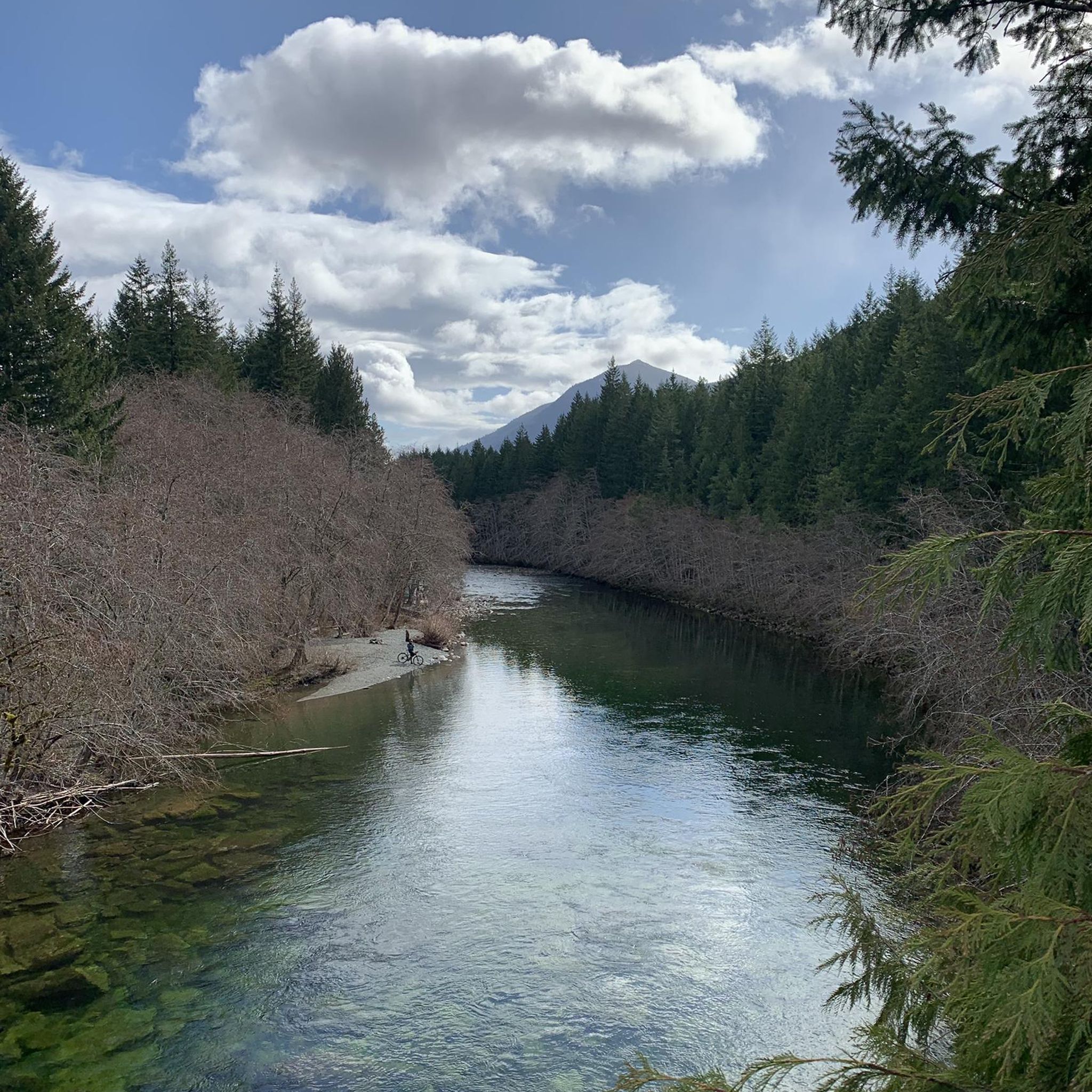
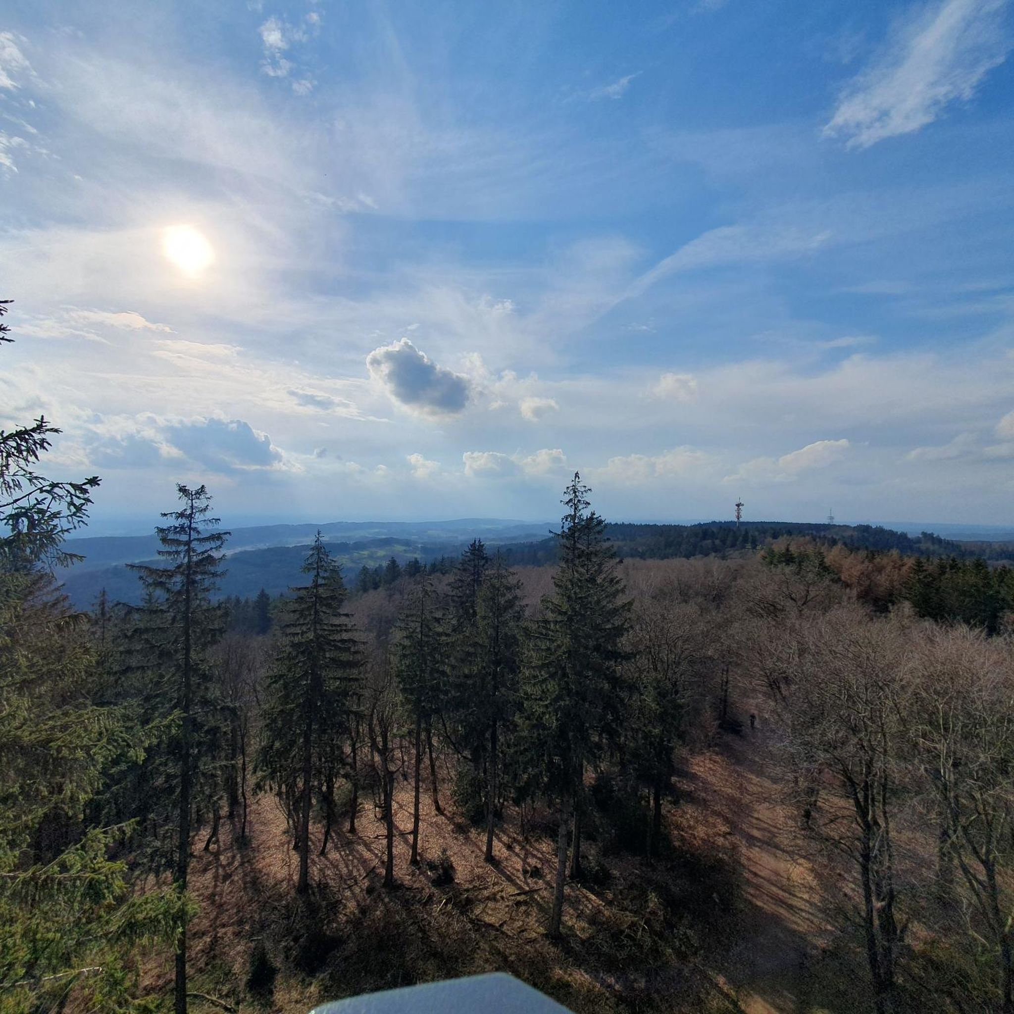
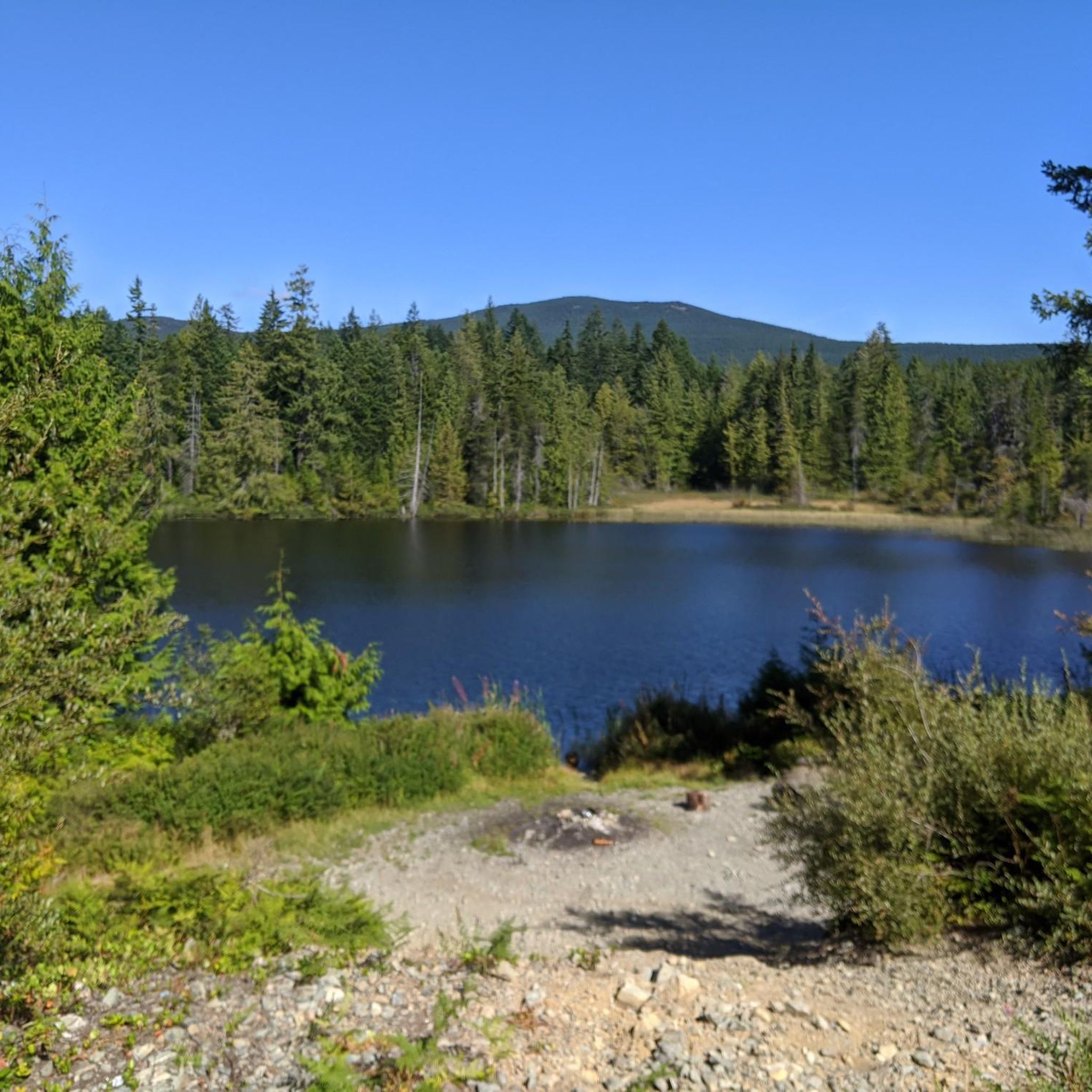
Tips from the Community

You can park along the gated R Branch logging road near Little Shaw Campsite on the north side of Cowichan Lake before continuing up the forestry road network toward Heather Mountain. Parking is informal with no facilities, and access conditions can change depending on active logging operations, washouts and gate closures along the surrounding roads.
0
0
Climbing through dense Vancouver Island forest, the Heather Mountain Trail gains elevation steadily toward rocky viewpoints overlooking Cowichan Lake and the surrounding hills of southern Vancouver Island. The route passes through sections of second growth woodland mixed with pockets of older forest, with roots and loose rock making parts of the climb uneven underfoot. Higher up, exposed bluffs open onto wider views across the Cowichan Valley and nearby mountain ridges.
0
0
At roughly 1,340 metres, the summit of Heather Mountain opens onto sweeping views across Cowichan Lake, forested Vancouver Island ridges and the surrounding Cowichan Valley. Exposed rock bluffs create a wide natural viewpoint, and on especially clear days you can see deep into the island interior and toward distant mountain ranges beyond.
0
0

Where Cameron Main (Lake Road) meets the Mount Moriarty Trail, there is a small parking area and a gate. Park as far off to the side of the road as you can to let other cars through. The gate is only open during certain times, and the parking area is right by Labour Day Lake.
0
0
The first thing to know about hiking Mount Moriarty Trail is that the gate is closed weekdays due to logging activity, while on weekends, the gate closure varies based on the time of year. Always consult the Mosaic Forest Management's access page to see if the trail is open. The trail itself is pretty steep till the end. The final approach to the summit is rugged and exposed compared with the lower parts of the trail. Mount Moriarty lies on the rain-shadow side of the island's spine so that summit conditions can be very different here. It is often drier and sunnier, but also more exposed to wind and afternoon cloud buildups.
0
0
The summit of Mount Moriarty rises 1,563 meters above sea level and has panoramic views of the Alberni Valley to the northwest, Sproat and Kennedy Lakes to the west, the Coast Mountains in the distance, and, on clear days, the Strait of Georgia and even the outlines of the Lower Mainland across the water. The summit itself isn’t a sharp point, but a broad, rocky bald where you can relax and take in 360° views.
0
0

Cowichan Valley is a fertile region on southern Vancouver Island, shaped by the Cowichan River, Cowichan Lake, and the sheltered waters of Cowichan Bay. Its mild climate and rich soils support a patchwork of farms, vineyards, and several communities, including Duncan, Chemainus, and Lake Cowichan. Situated in the territory of the Quw’utsun people, the valley is known for its cultural heritage and outdoor recreation.
0
0
This route is relatively challenging, beginning on a series of gravel logging roads, gradually gaining elevation as it winds toward the base of the mountain. From there, the trail leaves the road, and the climb steepens into a more rugged ascent, with stretches of loose rock and short scrambling sections as you work up the southeast ridge. As you crest the upper slopes, the terrain opens, with fantastic panoramic views of the Chemainus Valley and the surrounding Vancouver Island backcountry, making the trek well worth the climb as you approach the summit.
0
0
Frequently Asked Questions
How many hiking trails are available in Area I (Youbou / Meade Creek)?
Area I (Youbou / Meade Creek) offers a diverse range of hiking experiences, with over 10 trails documented on komoot. These routes cater to various skill levels, including easy, moderate, and difficult options.
What are the best times of year to go hiking in Area I (Youbou / Meade Creek)?
The region is beautiful year-round, but spring and fall generally offer the most pleasant hiking conditions with mild temperatures and vibrant scenery. Summer is also popular, especially for trails near Lake Cowichan where you can combine hiking with swimming. Winter hiking is possible, but some higher elevation trails, like those on Bald Mountain, may have snow or ice, requiring appropriate gear and caution.
Are there any family-friendly hiking options in Youbou or Meade Creek?
Yes, several parks in the area offer trails suitable for families. Price Park in Youbou features a network of forested trails leading down to Cowichan Lake, complete with picnic areas. Marble Bay Park in Meade Creek also has trails that can be enjoyed by families, offering stunning views. For specific easy routes, komoot lists 3 easy trails in the region.
Can I bring my dog on the hiking trails in Area I (Youbou / Meade Creek)?
Many trails in Area I are dog-friendly, but it's crucial to check local regulations for specific parks and trails, especially regarding leash requirements. The Cowichan Valley Regional District (CVRD) parks often have specific policies. Always ensure your dog is under control and practice Leave No Trace principles.
What kind of natural features or landmarks can I expect to see while hiking?
The region is rich in natural beauty. You can expect to see the expansive Lake Cowichan, the picturesque Cowichan River, and the prominent Bald Mountain. Trails often offer continuous scenic vistas, especially from higher elevations. You might also encounter unique rock formations and diverse flora and fauna. A notable landmark is the Bald Mountains First Summit, offering panoramic views.
Are there any circular hiking routes in the Youbou/Meade Creek area?
Yes, there are several circular routes available. For instance, the Green Mountain Trail loop — Cowichan Valley is a popular moderate option. Another excellent choice is the Bald Mountains First Summit loop from Lake Cowichan, which provides great views of Lake Cowichan.
What do other hikers say about the trails in Area I (Youbou / Meade Creek)?
The trails in Area I (Youbou / Meade Creek) are highly regarded by the komoot community, with an average rating of 4.8 stars from over 30 reviews. Hikers often praise the diverse terrain, from forested paths to mountain ascents, and the stunning views of Lake Cowichan and the surrounding landscapes.
Are there any challenging hikes for experienced hikers?
Yes, for those seeking a more strenuous adventure, the region offers difficult trails. The Mount Whymper — Cowichan Valley route is classified as difficult, featuring significant elevation gain and a longer distance, providing a rewarding challenge for experienced hikers.
Where can I find parking for trailheads in Youbou and Meade Creek?
Parking is generally available at designated trailheads and parks throughout Youbou and Meade Creek. For example, Bald Mountain Park, Price Park, and Marble Bay Park typically have parking facilities. It's always advisable to check specific park websites or komoot tour details for precise parking information before your hike.
Are there any waterfalls or significant water features along the trails?
The region is known for the picturesque Cowichan River. One specific route, the Log Bridge Over Forest Creek – Robertson River Falls loop from Lake Cowichan, leads through forested areas and along a creek, suggesting opportunities to encounter smaller falls or cascades, particularly after rainfall.
What amenities are available near the hiking trails in Youbou and Meade Creek?
Youbou and Meade Creek offer basic amenities for visitors. You'll find local cafes and pubs in Youbou, and some restaurants in Meade Creek. There are also accommodation options, including hotels and campgrounds, particularly around Lake Cowichan, making it convenient for multi-day visits.
Do I need a permit to hike in Area I (Youbou / Meade Creek)?
Generally, permits are not required for day hiking on most public trails in Area I (Youbou / Meade Creek). However, if you plan to access private land or specific protected areas, it's always best to check with local authorities or land managers for any specific regulations or permit requirements.
Most popular routes around Area I (Youbou / Meade Creek)
Most popular attractions around Area I (Youbou / Meade Creek)

Get inspired with the komoot mobile app


Explore more
Browse the best Hikes in other regions.
