The best road cycling routes in Weminuche Wilderness
61
riders
6
rides
Road cycling in Weminuche Wilderness offers challenging routes through a mountainous landscape characterized by significant elevation changes and high mountain passes. The region features roads that traverse rugged terrain, providing sustained climbs and descents. Road cyclists can expect to navigate through areas with varying gradients, often encountering scenic vistas of the surrounding wilderness. The routes are primarily designed for experienced riders due to their demanding nature.
Best road cycling routes in Weminuche Wilderness
- The most popular road cycling route is…
Last updated: May 20, 2026
17
riders
47.8km
02:58
1,310m
1,310m
Hard road ride. Very good fitness required. Some segments of this route may be unpaved and difficult to ride.
10
riders
24.7km
01:35
670m
670m
Moderate road ride. Good fitness required. Some segments of this route may be unpaved and difficult to ride.

Sign up for free
6
riders
50.3km
02:46
670m
670m
Moderate road ride. Good fitness required. Mostly well-paved surfaces and easy to ride.
11
riders
78.7km
04:32
1,860m
1,860m
Hard road ride. Very good fitness required. Mostly well-paved surfaces and easy to ride.
8
riders
48.4km
02:35
930m
930m
Hard road ride. Very good fitness required. Some segments of this route may be unpaved and difficult to ride.
Our route recommendations are based on thousands of hikes, rides, and runs completed by other people on komoot.
Start today with a free account
Your next adventure awaits.
Login or Signup
Other adventures in Weminuche Wilderness

Tips from the Community

Molas Pass sits a few yards below where the Colorado Trail passes the US 550 highway. Walk south 250 feet to the spur trail to the parking area and find Molas Overlook, a pit toilet, and parking at an elevation of 10,910 feet.
0
0

Little Baldy Mountain sits isolated from its neighbors and offers breathtaking panoramic views of the surrounding landscape. Its strategic location at the perfect elevation makes it an ideal spot to enjoy the beauty of the nearby mountain ranges, including the majestic Big Baldy that stands tall in the distance.
0
0

Encompassing well over 4 square miles and situated within San Juan National Forest, Vallecito Reservoir is a must-visit if you are out for a bike ride near Durango, Colorado. The long road following the west shore of the lake is paved, and the roads and paths on the east side of the lake are dirt.
0
0
Encompassing well over 4 square miles and situated within San Juan National Forest, Vallecito Reservoir is a must-visit if you are out for a bike ride near Durango, Colorado. The long road following the west shore of the lake is paved, and the roads and paths on the east side of the lake are dirt.
0
0

Coal Bank Pass sits at an elevation of 10,610 feet and serves as a link between the towns of Silverton and Durango. Situated along the renowned Million Dollar Highway, it offers travelers spectacular vistas of rugged peaks and stunning landscapes.
0
0

From here you can run up Castle Rock for epic views of Engineer and the San Juans, or follow Elbert Creek up to the eastern ridge of the Hermosa Creek Valley. From there you have a choice of epic runs along the ridgeline or delving into the forested river valleys below.
0
0
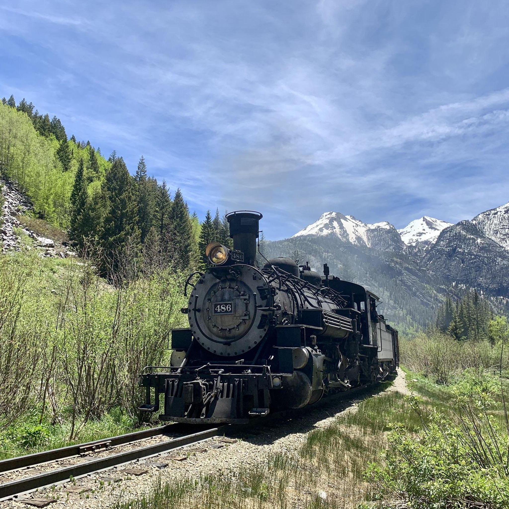
Silverton sits at an elevation of 9,318 feet and holds the distinction of being a National Historic Landmark, forming an integral part of the San Juan Skyway. It is nestled in the Animas River Valley and is encircled by rugged peaks, providing a panoramic backdrop to the town. Additionally, it serves as a popular summer destination for the Durango & Silverton Narrow Gauge Railroad.
0
0
Coal Bank Pass sits at an elevation of 10,610 feet and serves as a link between the towns of Silverton and Durango. Situated along the renowned Million Dollar Highway, it offers travelers spectacular vistas of rugged peaks and stunning landscapes.
0
0
Frequently Asked Questions
What are the typical difficulty levels for road cycling routes in Weminuche Wilderness?
Road cycling in Weminuche Wilderness is primarily designed for experienced riders due to its demanding nature. The region features routes with significant elevation changes and high mountain passes. Out of the 6 available routes, 2 are rated as moderate and 4 are difficult, indicating a challenging experience for most cyclists.
Which road cycling routes offer the longest distances in Weminuche Wilderness?
For those seeking longer distances, the Silverton – Coal Bank Pass loop from Castle Rock is the longest, covering 78.7 km (48.9 miles) with substantial elevation gain. Another notable long route is the Vallecito Reservoir – Little Baldy loop from Vallecito Reservoir, which is 50.3 km (31.2 miles) long.
Is parking available at the trailheads for road cycling routes in Weminuche Wilderness?
Parking availability can vary depending on the specific starting point of each route. For routes originating from established areas like the Durango Mountain Club or Vallecito Reservoir, designated parking is generally available. However, for more remote starting points, parking might be limited or informal. It's advisable to check the route details on komoot for specific parking information before your ride.
Are permits required for road cycling in Weminuche Wilderness?
Generally, permits are not required for road cycling on established public roads within or bordering the Weminuche Wilderness. However, if your route involves venturing onto specific private lands or into designated wilderness areas off-road, it's always best to check with the local land management agencies, such as the U.S. Forest Service, for any specific regulations or permit requirements.
Are there any family-friendly or beginner road cycling routes in Weminuche Wilderness?
Weminuche Wilderness is characterized by challenging terrain with significant elevation changes, making most road cycling routes suitable for experienced riders. There are no routes currently classified as easy, and only two are rated as moderate. Therefore, the area is not typically recommended for beginners or young families seeking leisurely rides.
What is the best season for road cycling in Weminuche Wilderness?
The best season for road cycling in Weminuche Wilderness is typically late spring through early autumn (roughly June to September). During these months, the high mountain passes are generally clear of snow, and the weather is more stable. Riders should always check current weather conditions and road closures, especially in early spring or late autumn, as conditions can change rapidly at higher elevations.
What kind of wildlife might I encounter on road cycling routes in Weminuche Wilderness?
As a vast wilderness area, Weminuche Wilderness is home to diverse wildlife. Road cyclists might encounter deer, elk, and various bird species. While less common on main roads, black bears and mountain lions inhabit the region. It's always wise to be aware of your surroundings, avoid disturbing wildlife, and carry bear spray if venturing into more remote sections.
Are there any loop road cycling trails in Weminuche Wilderness?
Yes, several popular road cycling routes in Weminuche Wilderness are loops. Examples include the Coal Bank Pass – Molas Pass loop from Boyce Lake, which connects two prominent mountain passes, and the Coal Bank Pass – Coal Bank Pass loop from Haviland Lake SWA.
What scenic views can I expect on road cycling routes in Weminuche Wilderness?
Road cycling routes in Weminuche Wilderness offer breathtaking scenic views of rugged mountains, deep valleys, and expansive forests. Routes often traverse high mountain passes, providing panoramic vistas. For example, the Coal Bank Pass loop from Durango Mountain Club offers stunning views of the surrounding mountain environment during its notable climb.
What natural attractions can be found near the road cycling routes?
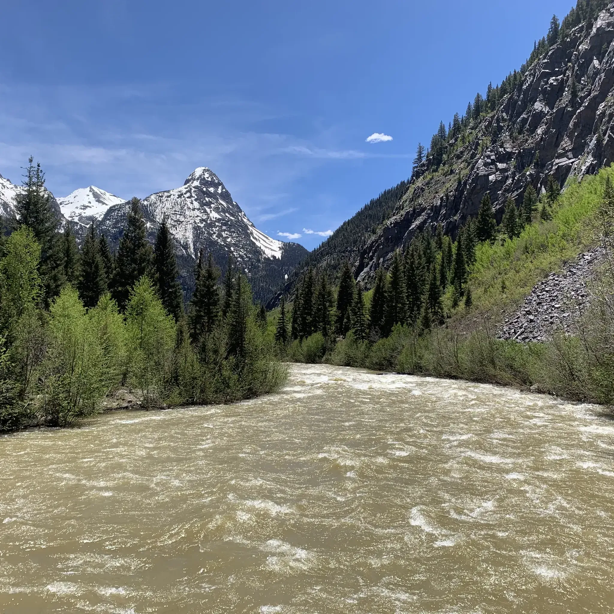
The Weminuche Wilderness is rich in natural beauty. Along or near road cycling routes, you can find several notable lakes such as Northern Highland Mary Lake, Twin Lakes (Chicago Basin), and Crater Lake. The Animas River also flows through the region, offering picturesque views.
Are there any trails or points of interest to explore off the main road cycling routes?
Yes, the region offers several trails and points of interest that can be explored. Notable trails include the Williams Creek Trail and the Vallecito Creek Trail. For a unique experience, you might also spot the Needleton Train Station, accessible via the historic Durango & Silverton Narrow Gauge Railroad.
How many road cycling routes are available in Weminuche Wilderness on komoot?
There are currently 6 road cycling routes available on komoot for Weminuche Wilderness. These routes offer a range of moderate to difficult challenges, catering to experienced road cyclists.
What do other road cyclists enjoy most about road cycling in Weminuche Wilderness?
Road cyclists using komoot frequently praise the challenging ascents and the remote wilderness roads that define the Weminuche Wilderness experience. The region's high mountain passes and varied terrain, offering stunning scenic vistas, are often highlighted as key attractions by the more than 40 road cyclists who have explored the area with komoot.
Most popular routes in Weminuche Wilderness
Most popular attractions in Weminuche Wilderness

Get inspired with the komoot mobile app


