The best MTB trails in Weminuche Wilderness
5.0
(1)
142
riders
16
rides
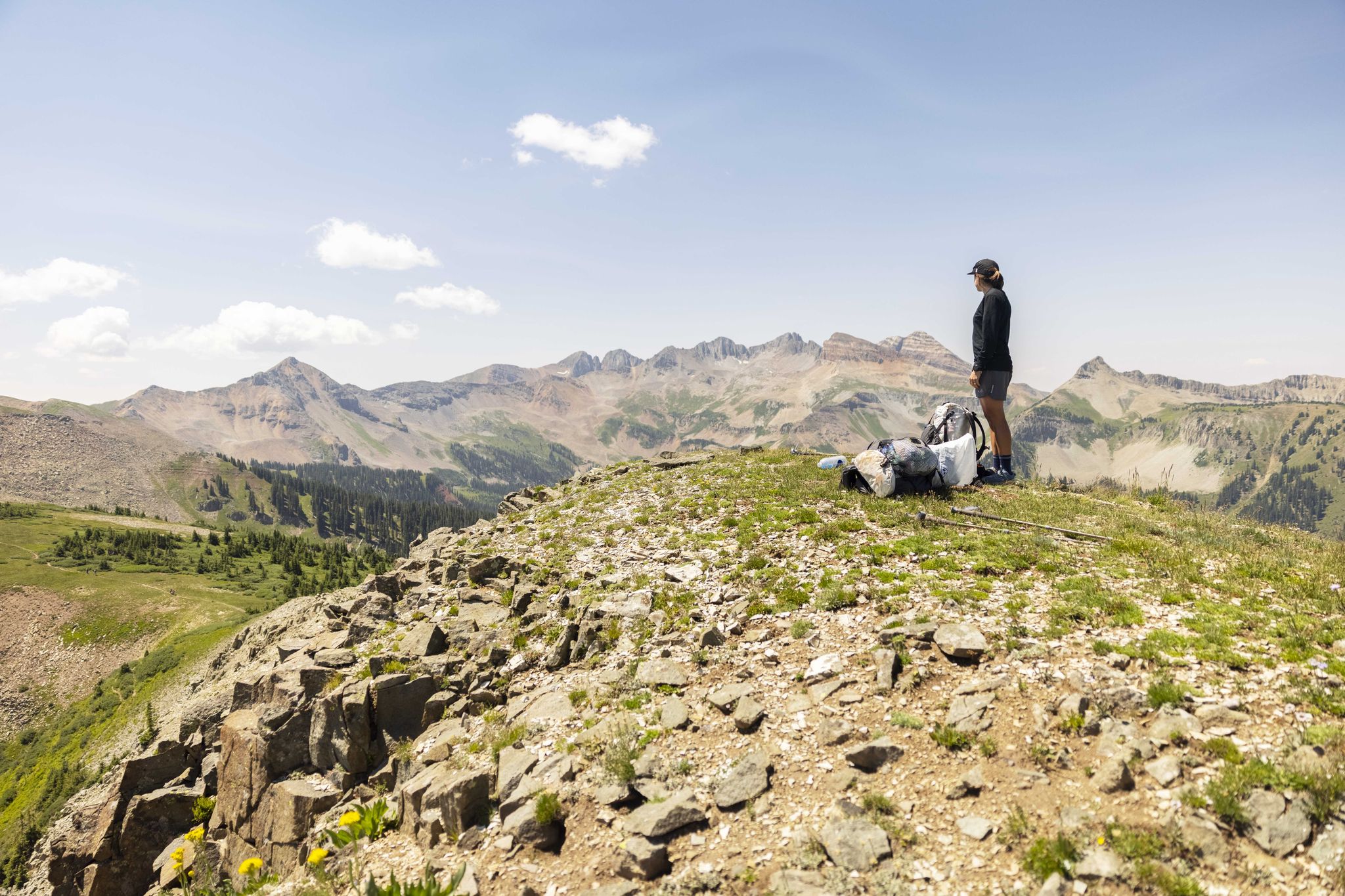
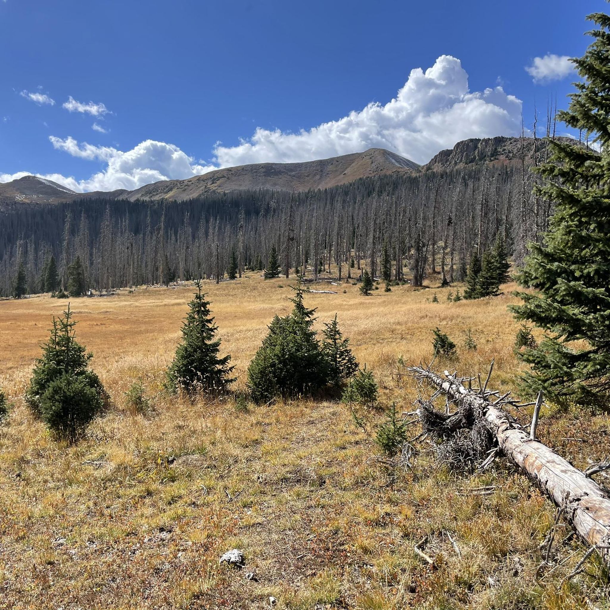
Mountain biking in Weminuche Wilderness is primarily found in the surrounding San Juan and Rio Grande National Forests, as mechanized transport is prohibited within the wilderness boundaries itself. This region features high elevations, ranging from 7,700 feet to over 14,000 feet, with diverse landscapes including ponderosa pine and spruce-fir forests, alpine tundra, and numerous rivers and glacial lakes. The terrain offers a mix of challenging climbs and descents, with trails often traversing sections of the Continental Divide.
Best mountain bike…
Last updated: May 11, 2026
6
riders
29.2km
02:53
630m
630m
Moderate mountain bike ride. Good fitness required. Advanced riding skills necessary.
17
riders
12.4km
01:30
510m
520m
Embark on the Pass and Coal Creek Loop, a moderate mountain biking route spanning 7.7 miles (12.4 km) with an elevation gain of 1676 feet (511 metres). You'll navigate diverse…

Sign up for free
11
riders
29.8km
03:10
770m
770m
Ride the Colorado Trail: Twin Sisters, a moderate mountain biking route that winds through forested sections and open grasslands. You will cover 18.5 miles (29.8 km) with a significant elevation…
5.0
(1)
5
riders
64.5km
07:06
2,030m
2,030m
Embark on a challenging mountain biking adventure with the Engineer Mountain and Colorado Trail Loop, a difficult 40.1 miles (64.5 km) route that demands 6648 feet (2026 metres) of elevation…
3
riders
52.1km
05:21
1,620m
1,620m
Hard mountain bike ride. Very good fitness required. Suitable for all skill levels.
Get access to more routes and recommendations from other explorers.
Sign up for free
Already have an account?
Our route recommendations are based on thousands of hikes, rides, and runs completed by other people on komoot.
Start today with a free account
Your next adventure awaits.
Login or Signup
Other adventures in Weminuche Wilderness

Tips from the Community

This uphill section of the Engineer Mountain Trail is not very technical, but due to the elevation and the steepness of the trail you'll breath heavily. But the good thing is: You'll pedal slowly and have plenty of time to enjoy the beautiful scenery.
1
0

Hermosa Creek Trail runs through the Hermosa Creek Wilderness Area. It includes smooth climbs with beautiful views. The trailhead provides valuable information about the area and the trail itself (though the latter is hard to lose).
0
0
Little Molas Lake is a high-altitude body of water at about 11,000 feet. It is located nearby parking lots and provides easy access to the Colorado Trail. It is the ideal place to enjoy a packed lunch before or after your ride.
0
0
It is a popular trail with great panoramic views. It is located just east of Engineer Mountain, which is easily recognisable by its two cone-like peaks. The climbs are challenging and bring you to beautiful alpine meadows at the base of the peaks.
0
0

Coal Bank Pass sits at an elevation of 10,610 feet and serves as a link between the towns of Silverton and Durango. Situated along the renowned Million Dollar Highway, it offers travelers spectacular vistas of rugged peaks and stunning landscapes.
0
0

Little Molas Lake is a small body of water found off the Colorado trail. At 11,000 feet, the lake is surrounded by beautiful mountains. There is a picnic area along the banks of the lake, so it is a great place for a break to enjoy the peaceful surroundings.
0
0

You park by the lake and cross Tacoma Drive to the south to start the Purgatory Creek Trail to Cascade Creek. From the trailhead you get epic views of Potato Hill and Engineer across the water.
0
0

Hermosa Creek North Trailhead is your gateway into the Hermosa Creek Wilderness and the Special Management Area. Take a run along Hermosa to the south or follow the West Cross Trail that connects with the long-distance Colorado Trail. Whatever you decide the landscape is spectacular.
0
0
Frequently Asked Questions
Can I mountain bike directly within the Weminuche Wilderness boundaries?
No, mountain biking is prohibited within the designated Weminuche Wilderness boundaries. This restriction is in place to preserve the natural state of the wilderness. However, the surrounding San Juan and Rio Grande National Forests offer numerous trails suitable for mountain biking.
Where can I find mountain bike trails near the Weminuche Wilderness?
The mountain bike trails highlighted in this guide are located in the areas surrounding the Weminuche Wilderness, primarily within the San Juan and Rio Grande National Forests. These areas provide excellent opportunities for mountain biking while respecting the wilderness regulations.
How many mountain bike trails are available in the area surrounding Weminuche Wilderness?
There are over 15 mountain bike trails available in the areas surrounding Weminuche Wilderness, offering a variety of experiences for different skill levels.
Are there mountain bike trails suitable for beginners or families near Weminuche Wilderness?
While there are no trails specifically rated as 'easy' in this selection, there are 4 moderate trails that could be suitable for riders with some experience or families looking for a less strenuous ride. For example, the Pass and Coal Creek Loop is a moderate 7.7-mile trail through forested areas.
What kind of terrain can I expect on mountain bike trails near Weminuche Wilderness?
The terrain features high elevations, ranging from 7,700 feet to over 14,000 feet, with diverse landscapes including ponderosa pine and spruce-fir forests, and alpine tundra. Trails often traverse sections of the Continental Divide, offering a mix of challenging climbs and descents.
What do other mountain bikers enjoy most about the trails near Weminuche Wilderness?
The trails in this region are highly rated by the komoot community, with an average score of 5.0 stars. Mountain bikers often praise the high mountain passes, diverse forests, and alpine landscapes that define the riding experience.
Are there any loop trails for mountain biking near Weminuche Wilderness?
Yes, there are several loop trails available. A popular option is the Pass and Coal Creek Loop, which is a moderate 7.7-mile ride. For a more challenging experience, consider the Engineer Mountain and Colorado Trail Loop, a difficult 40.1-mile route.
What are some notable natural features or attractions I might see while mountain biking near Weminuche Wilderness?
While mountain biking is outside the wilderness, the surrounding areas offer stunning views and access to natural beauty. You might encounter views of towering peaks like Mount Eolus or Sunlight Peak, and pass by rivers such as the Animas River. The diverse ecosystems include ponderosa pine and spruce-fir forests, and alpine tundra.
Are there any permits required for mountain biking in the San Juan or Rio Grande National Forests?
Generally, permits are not required for day-use mountain biking on established trails within the San Juan or Rio Grande National Forests. However, it's always advisable to check with the local Forest Service office for any specific regulations or temporary closures before your ride, especially if planning an overnight trip.
What is the best time of year for mountain biking near Weminuche Wilderness?
Summer is generally the best time for mountain biking in this high-elevation region, as trails are typically free of snow and weather conditions are more favorable. However, always check current trail conditions and weather forecasts, as conditions can change rapidly in the mountains.
Are there any long-distance mountain bike trails in the area?
Yes, sections of the renowned Colorado Trail pass through the surrounding areas, offering opportunities for longer rides. For instance, the Colorado Trail: Twin Sisters is a moderate 18.5-mile path that provides expansive views along a segment of this famous trail.
Are there any particularly challenging mountain bike trails for experienced riders?
Experienced riders will find several challenging options. The Engineer Mountain and Colorado Trail Loop is a difficult 40.1-mile trail leading through high mountain passes and dense forests. Another demanding route is the Engineer Mountain Trail – Durango, a difficult 32.3-mile ride.
Most popular routes in Weminuche Wilderness
Most popular attractions in Weminuche Wilderness

Get inspired with the komoot mobile app


Explore more
Browse the best MTB trails in other regions.
