The 10 Most Amazing Peaks in the Santa Ana Mountains
Best mountain peaks in the Santa Ana Mountains are found within a rugged range stretching along the border of Orange and Riverside counties in Southern California. This area offers numerous peaks that provide expansive views and varied challenges for outdoor enthusiasts. The mountains feature diverse terrain, including oak woodlands and chaparral, within the Cleveland National Forest. These peaks serve as significant natural landmarks, offering perspectives of Southern California's landscapes.
Best mountain peaks in the Santa Ana Mountains
- The most popular…
Last updated: August 11, 2026
Robber's Peak
Highlight • Viewpoint
Tip by

Bedford Peak
Highlight • Summit
Tip by

Sign up now to discover places like this
Get recommendations on the best single tracks, peaks, & plenty of other exciting outdoor places.
Sign up for free
Sierra Peak Summit
Highlight • Summit
Tip by

Sitton Peak
Highlight • Summit
Tip by
Los Pinos Peak
Highlight • Summit
Tip by
Santiago Peak
Highlight • Summit
Translated by Google •
Tip by
Santiago Peak Summit and Telecommunications Towers
Highlight • Summit
It's a good vantage point, and …
Tip by

Doves Peak (Bell Peak)
Highlight • Summit
Tip by

Bell Ridge Viewpoint
Highlight • Viewpoint
Tip by
Start today with a free account
Your next adventure awaits.
Login or Signup
Popular around Santa Ana Mountains

Other adventures in the Santa Ana Mountains

Tips from the Community

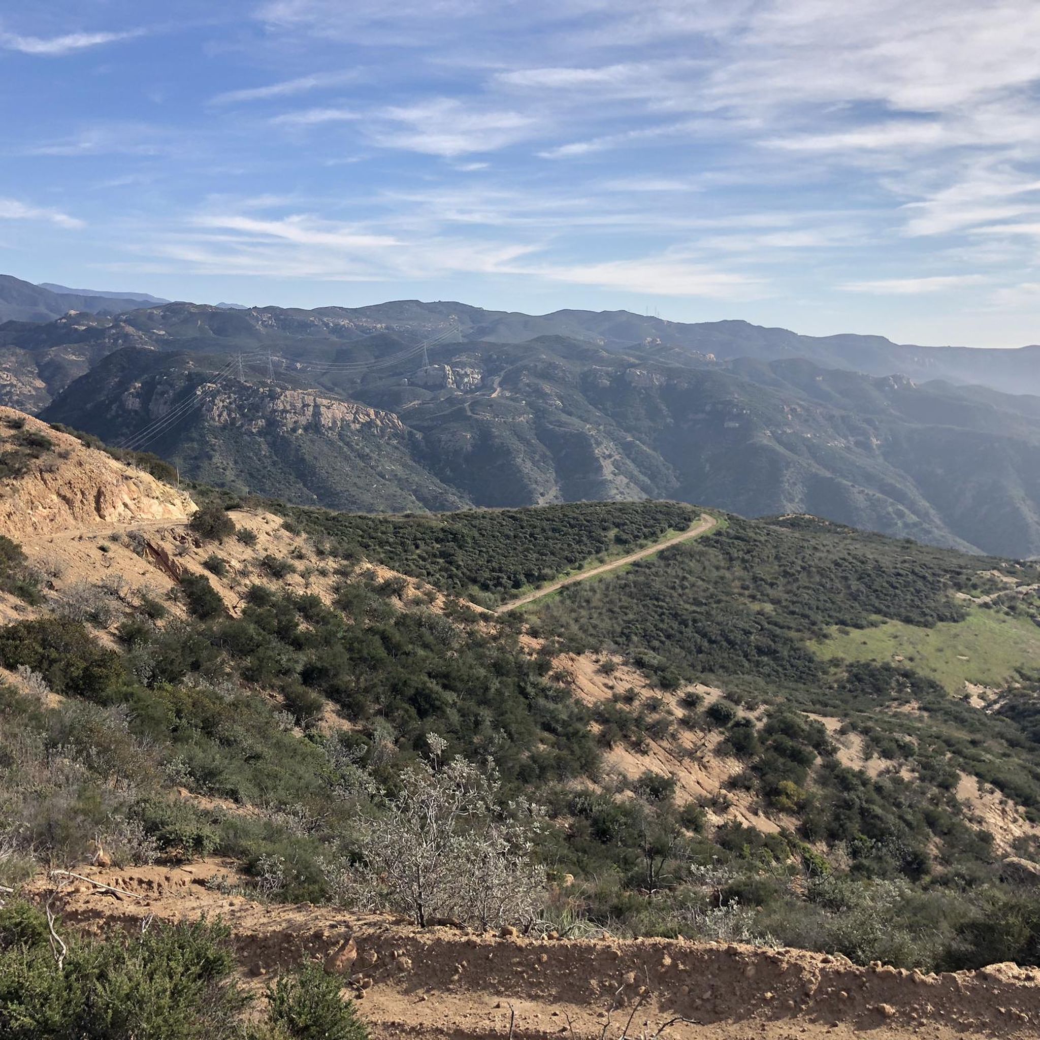
Situated up with the cell towers at 3,045 feet, Sierra Peak offers awesome views of Orange County and the surrounding mountains. Because it's such a long trek from car to summit, you'll likely have most of the route and the peak to yourself.
0
0

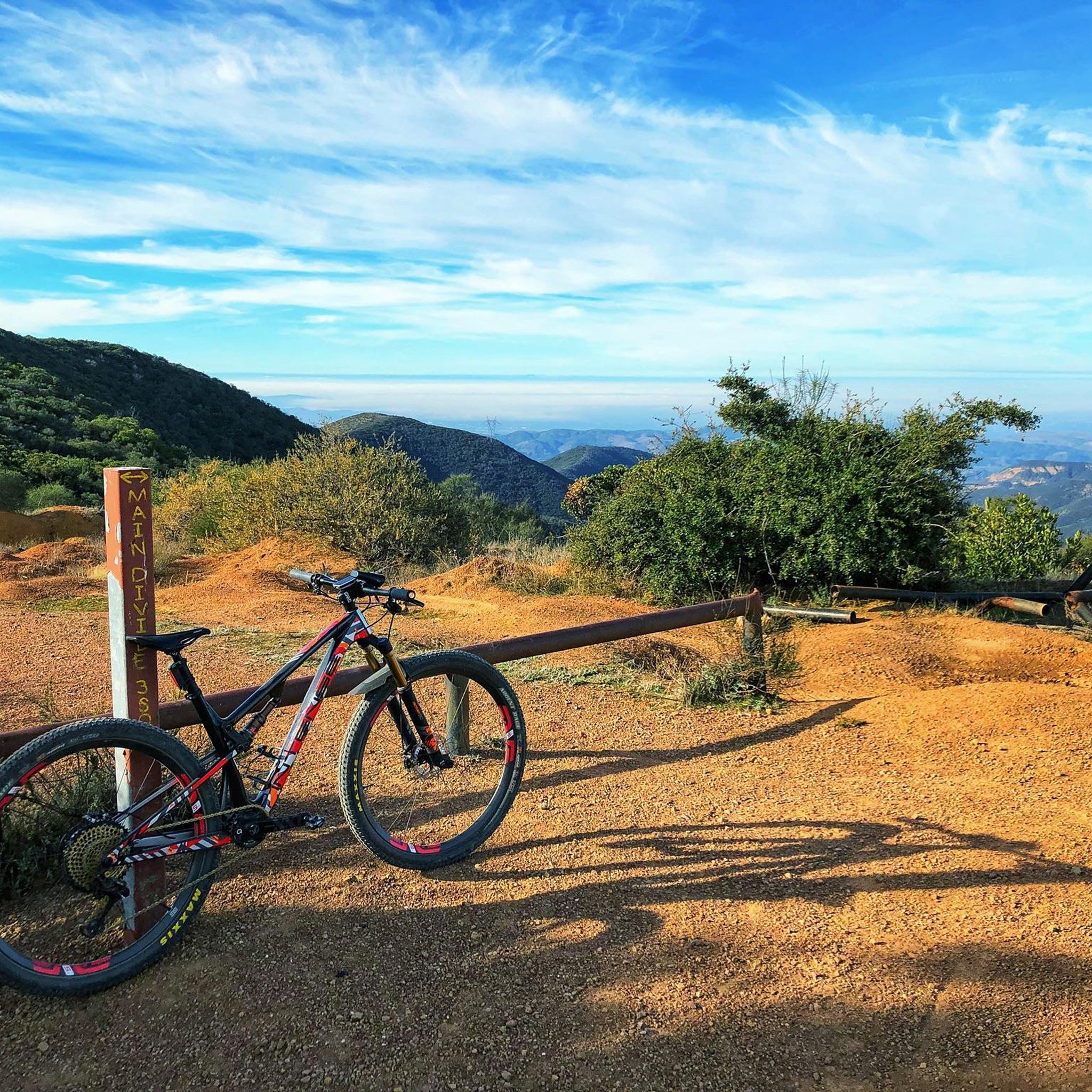
Bell Ridge crests out here, and you get sweeping views of the Santa Ana Mountains as well as glimpses of the ocean. This is a great landmark if you are venturing on to Los Pinos Peak.
1
0
Los Pinos Peak is the fourth highest peak in the county, after Santiago, Modjeska, and Trabuco Peak. There are a few different trails you can explore that take you to the summit, though some trailheads in the Trabuco Creek Valley have been closed in recent years so it is best to check the Forest Service website before you go.
0
0
Bell Ridge crests out here and you get sweeping views of the Santa Ana Mountains as well as glimpses of the ocean. This is a great landmark if you are venturing on to Los Pinos Peak.
0
0

Right at the northern edge of Santiago Oaks Regional Park, the 1,159-feet (329 m) elevation of Robbers Peak allows for a sweeping view of the surroundings. You'll be able to see the neighborhoods below and Walnut Canyon Reservoir a bit further in the distance.
0
0

At 5,689 ft (1,734 m) Santiago Peak is the highest point in Orange County. It also marks the border between Orange and Riverside Counties. It's a good vantage point, and you can spot some other Southern California peaks such as San Gorgonio Mountain, San Jacinto Peak, and Mount San Antonio. You won't however, be afforded a full 360 degree view of the landscape due to the large number of antennas sited here.
1
0

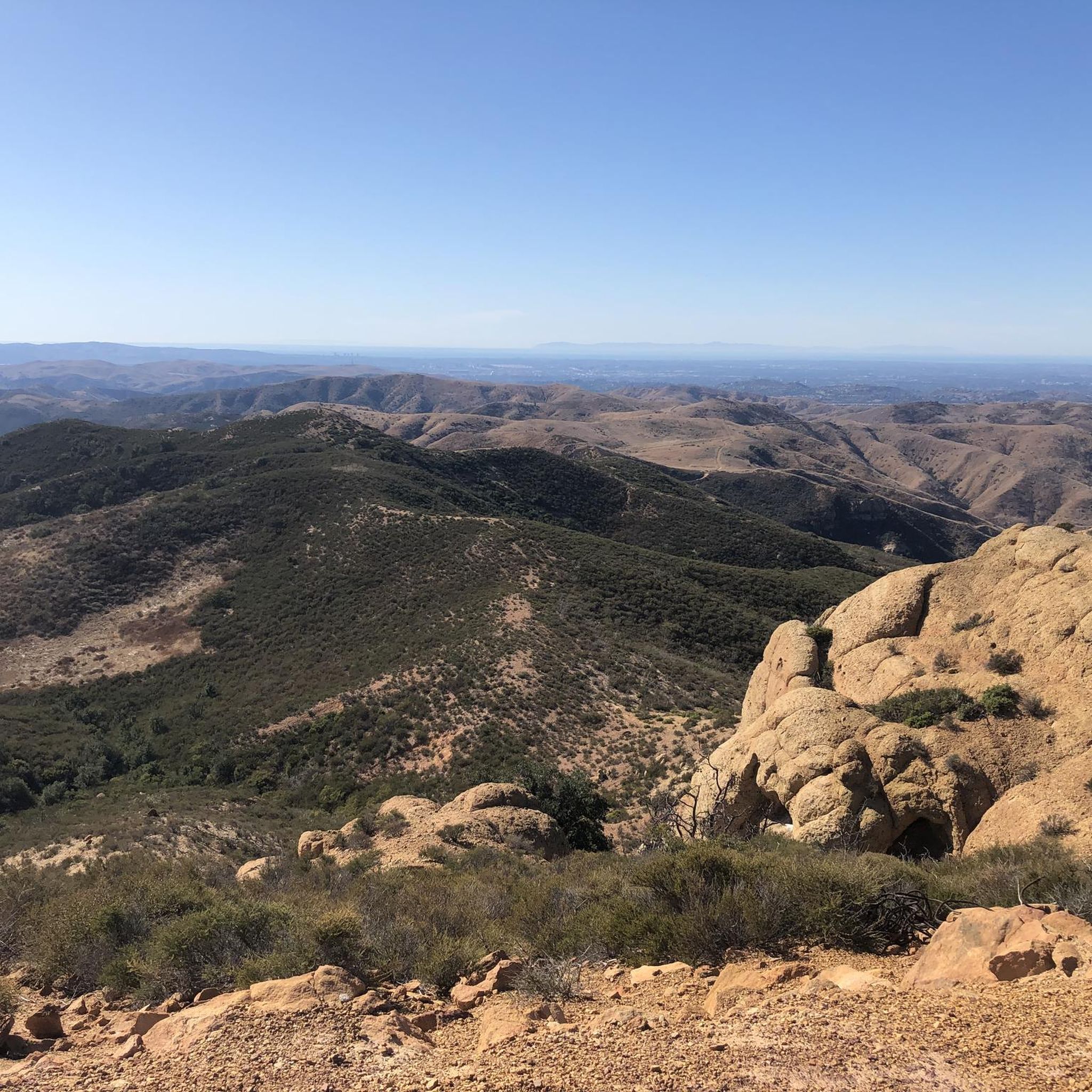
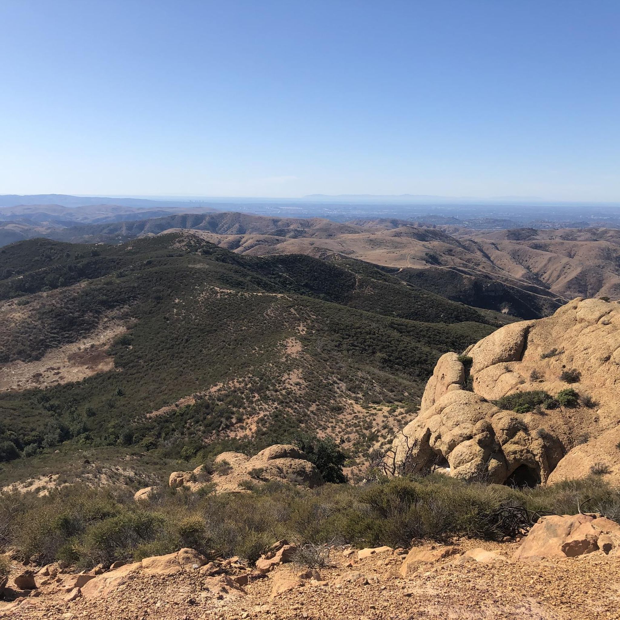
Bedford Peak is just 250 feet west of this junction and a short walk. You might have to dismount and push your bike. Bedford Peak is right on the border of Riverside and Orange Counties. It is at an elevation of 3,800 ft. From the top, there are good views of Santiago Peak and Silverado Canyon, with the ocean and Catalina in the distance.
0
0

Situated just at the edge of Santiago Oaks Regional Park, 1152-feet (329 m) Robbers Peak makes a great quick run — especially if you happen to live in one of the nearby neighborhoods.
0
0
Frequently Asked Questions
What are the highest mountain peaks in the Santa Ana Mountains?
The highest point in the Santa Ana Mountains is Santiago Peak, standing at 5,689 feet (1,734 meters). It's followed closely by Modjeska Peak at 5,496 feet (1,675 meters). Together, they form the distinctive 'Saddleback' visible across much of Southern California.
Which peaks offer the most expansive panoramic views?
For truly sweeping vistas, Santiago Peak provides 360-degree views encompassing the Pacific Ocean, Catalina Island, and various mountain ranges on clear days. Modjeska Peak is also praised for its breathtaking, unobstructed 360-degree views of the Pacific Ocean, Los Angeles Basin, and Inland Empire. Sierra Peak Summit also offers great views over north Orange County to the west and Corona/Riverside to the east.
What is the most challenging peak to hike in the Santa Ana Mountains?
Hiking to Santiago Peak is considered a lengthy and challenging experience. The popular Holy Jim Trail is a 16-mile round trip with an elevation gain of approximately 4,000 feet, often taking around 8 hours to complete. Routes to Modjeska Peak, such as the 14-mile Joplin Truck Trail or an 18-mile round trip from Maple Springs, are also challenging.
Are there any easier or beginner-friendly peaks to explore?
While many trails are challenging, Robber's Peak, at 1,152 feet, can be a quicker, rewarding hike, especially if you're in the nearby neighborhoods. It offers a panoramic vista of Anaheim Hills' cityscape and views spanning orange groves to Mt San Antonio on clear days.
When is the best time to hike the Santa Ana Mountains peaks?
Many trails in the Santa Ana Mountains are exposed, making the cooler months more enjoyable for hiking. During most winters, Santiago Peak even receives snow, offering a unique experience.
What kind of natural features can I expect to see on these peaks?
The Santa Ana Mountains feature diverse terrain, including oak woodlands and chaparral, within the Cleveland National Forest. From the peaks, you can often see the Trabuco District canyonlands, the Pacific Ocean, and on very clear days, even Catalina Island. The distinctive 'Saddleback' formed by Santiago and Modjeska Peaks is a prominent natural landmark.
What outdoor activities can I do near the Santa Ana Mountains peaks?
Beyond hiking, the region offers excellent opportunities for mountain biking, road cycling, and gravel biking. You can find challenging terrain and extensive trail systems for exploration. For more details, check out the MTB Trails in the Santa Ana Mountains, Road Cycling Routes in the Santa Ana Mountains, and Gravel biking in the Santa Ana Mountains guides.
Are there specific trails for mountain biking near the peaks?
Yes, mountain biking is possible on permitted fire roads and truck trails, offering challenging terrain and connecting to peaks like Santiago. Routes like the 'Robber's Peak and Barham Ridge Loop' and 'Santiago and Modjeska Peaks via Harding-Santiago Truck Trail Loop' are popular. You can find more options in the MTB Trails in the Santa Ana Mountains guide.
What do visitors enjoy most about the views from these peaks?
Visitors frequently highlight the incredible panoramic views. From Sierra Peak Summit, for instance, the views stretch over north Orange County to the west and Corona/Riverside to the east, with San Gorgonio Mountain on the horizon. From Sitton Peak, you can overlook San Diego County to the south, the Santa Ana Mountains to the north, and the Santa Ana foothills to the west.
Are there any family-friendly options for exploring the peaks?
While many trails are challenging, Modjeska Peak is considered an ideal spot for families to connect with nature, despite the demanding trails to reach it. The extensive trail system provides ample opportunities for exploration and adventure.
Which peak is the fourth highest in Orange County?
Los Pinos Peak is the fourth highest peak in Orange County, after Santiago, Modjeska, and Trabuco Peak. It offers great views over north Orange County to the west and Corona/Riverside to the east, with San Gorgonio Mountain on the horizon.
Where can I find more information about the Santa Ana Mountains?
For additional background and historical context about the range, you can visit the Santa Ana Mountains Wikipedia page.
Most popular routes in the Santa Ana Mountains
Most popular attractions in the Santa Ana Mountains

Get inspired with the komoot mobile app


Explore more
See even more amazing summits in the Santa Ana Mountains with these guides:
