The best cycling routes in the Santa Ana Mountains
4.3
(19)
494
riders
42
rides
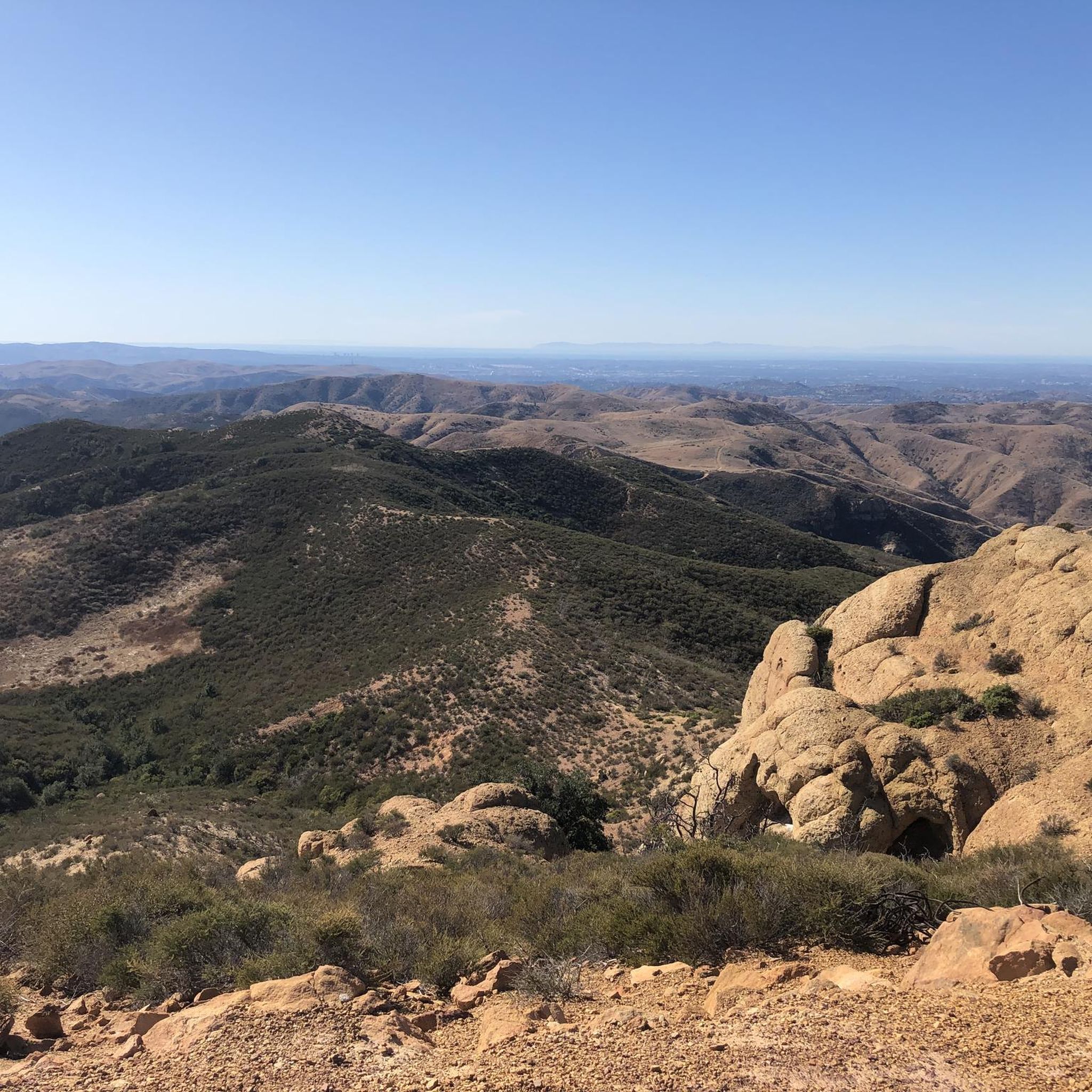
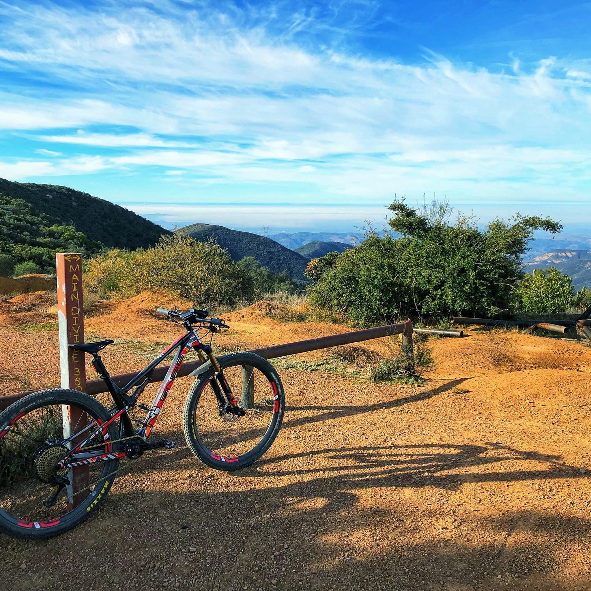
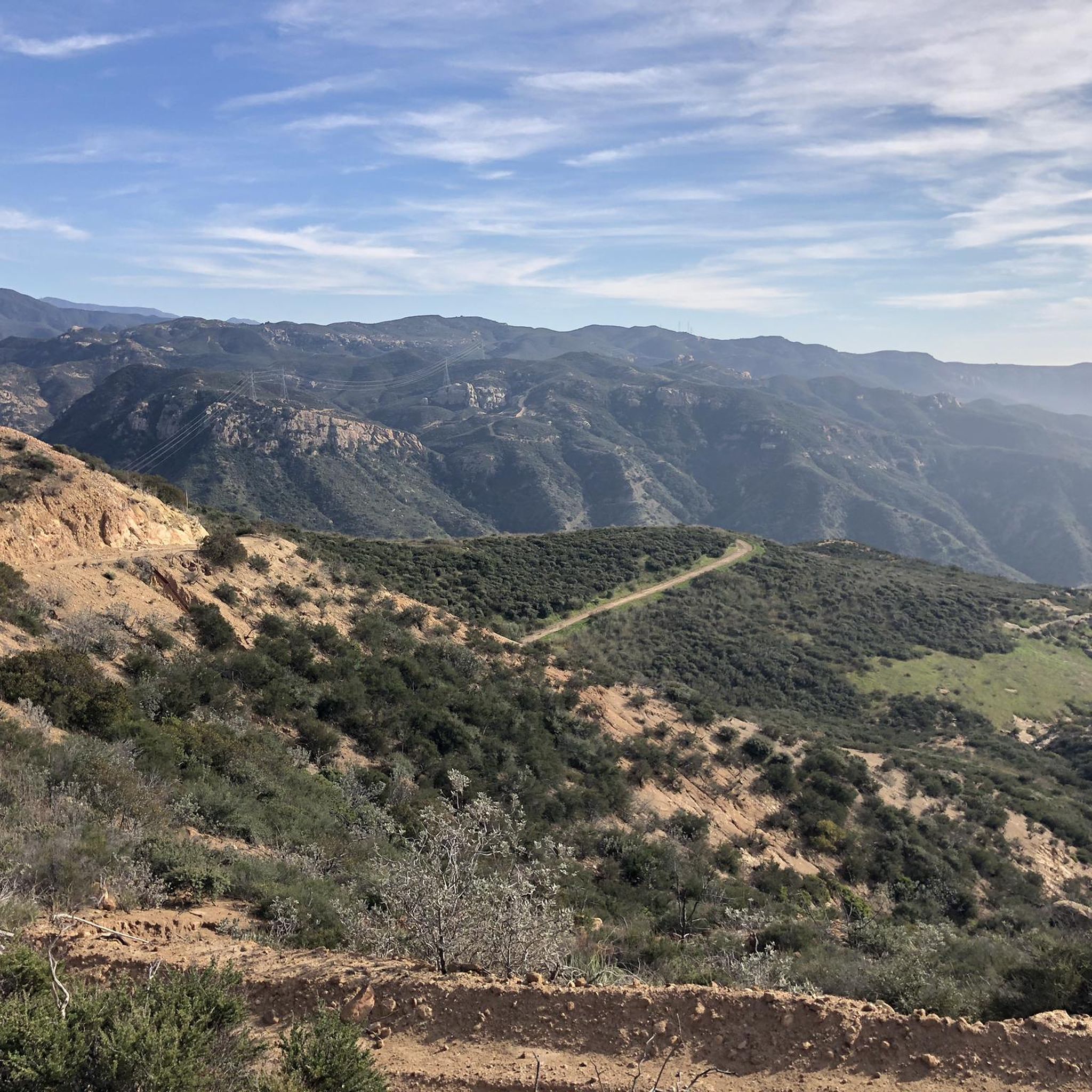
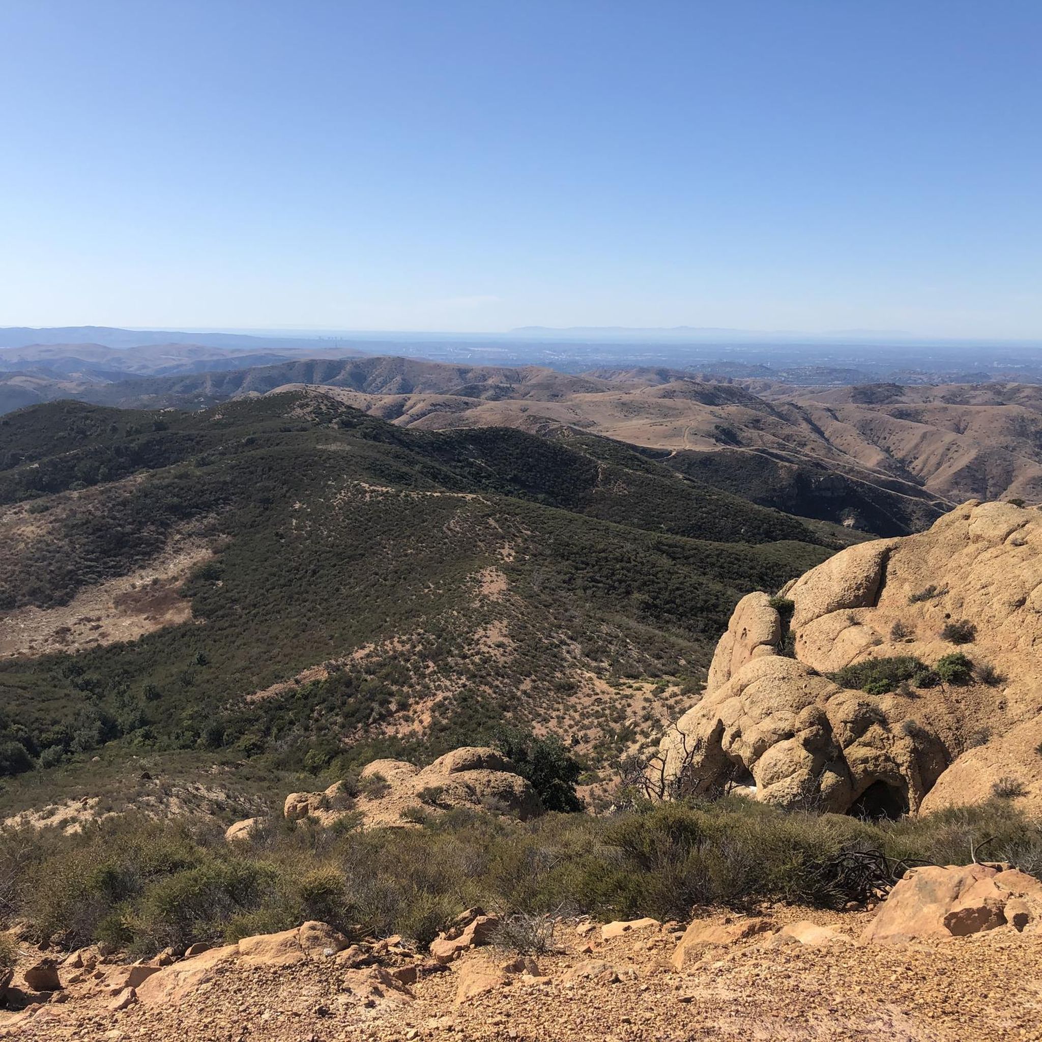
Touring cycling in the Santa Ana Mountains offers varied terrain across a rugged and expansive range in Southern California. The region features diverse ecosystems including chaparral, coastal sage scrub, and woodlands, alongside prominent features like the "Saddleback" peaks and numerous canyons. Fire roads along the crest provide extensive routes, while paved roads like Ortega Highway offer dramatic descents. This landscape provides a range of cycling experiences, from challenging climbs to scenic, winding routes.
Best touring cycling routes in the Santa…
Last updated: June 24, 2026
13.3km
01:04
180m
180m
If you're looking for a touring cycling adventure at the Eagle Mountain Ruins, it's important to know that the site in Riverside, California, is unfortunately not open for public access,…
8.19km
01:00
190m
190m
The Borrego Trail and Billy Goat Loop offers a dynamic touring cycling experience through Whiting Ranch Wilderness Park, blending established paths with technical challenges. You'll traverse varied terrain, from flat…

Sign up for free
5.0
(1)
71
riders
15.9km
01:35
350m
350m
Moderate bike ride. Good fitness required. Mostly paved surfaces. Suitable for all skill levels.
5.0
(1)
71
riders
15.5km
01:28
320m
320m
Moderate bike ride. Good fitness required. Mostly paved surfaces. Suitable for all skill levels.
25
riders
Hard bike ride. Very good fitness required. Mostly paved surfaces. Suitable for all skill levels.
5.0
(1)
24
riders
22.1km
02:24
690m
690m
Hard bike ride. Very good fitness required. Mostly paved surfaces. Suitable for all skill levels.
22
riders
52.1km
04:38
1,070m
1,070m
Hard bike ride. Very good fitness required. Mostly paved surfaces. Suitable for all skill levels.
10
riders
71.2km
05:41
1,250m
1,250m
Hard bike ride. Very good fitness required. Mostly paved surfaces. Suitable for all skill levels.
13
riders
Moderate bike ride. Good fitness required. Mostly paved surfaces. Suitable for all skill levels.
13
riders
The Barham Ridge Trail viewpoint – Roadrunner Loop trailhead loop from Santiago Canyon College offers a rugged, off-road cycling experience that's best tackled on a mountain bike or a capable…
Get access to more routes and recommendations from other explorers.
Sign up for free
Already have an account?
Our route recommendations are based on thousands of hikes, rides, and runs completed by other people on komoot.
Start today with a free account
Your next adventure awaits.
Login or Signup

Other adventures in the Santa Ana Mountains

Tips from the Community

The Arroyo Trabuco Trail crosses the Trabuco Creek here (and a good number of times along the route). Depending on the season and conditions, you may well find that bombing through is not an option, so just be prepared for some wet feet.
0
0

Whiting Ranch Wilderness Park is about 2,500 acres of diverse landscapes. There is about 17 miles of trails to run that take you through canyons, woodlands, rolling grasslands, and red‑rock formations
0
0
The Borrego Canyon Trail winds through oak woodlands and past creeks. The trail is somewhat challenging and will eventually take you to some dramatic red‐rock.
0
0

Cook’s Corner is a classic stop for cyclists riding through Santiago Canyon and one of the most popular biker hangouts in Southern California. It’s casual and bike-friendly, with shaded picnic tables and plenty of space to park. Grab a burger or a cold drink, rest your legs, and soak in the lively atmosphere—especially on weekends when it’s packed with motorcycles and live music.
0
0

The Barham Ridge Trail is a wide, double-track path that is popular with hikers, trail runners, and mountain bikers. This is an area to slow down as it connects to multiple trails and can often get busy near Robbers Peak. It is very sun-exposed with little shade, so be sure to pack some sun protection.
0
0
Nice wooden bridge along the Santa Ana River Trail. It takes you over the river and gives you a good view of the water.
1
0
Santiago Canyon Road is a great option for a ride with rolling hills and great views. As you get to the top of each hill, you are treated with a great view of the valley you just climbed out of.
0
0
It's slow-going on this steep climb. Once you get to the top, you're treated with a good view into the valley.
0
0
Frequently Asked Questions
How many touring cycling routes are available in the Santa Ana Mountains?
There are over 45 touring cycling routes available in the Santa Ana Mountains, catering to various skill levels. You'll find a mix of easy, moderate, and difficult trails to explore.
What kind of terrain can I expect on touring cycling routes in the Santa Ana Mountains?
The Santa Ana Mountains offer diverse terrain, from challenging climbs on rugged fire roads to scenic, winding paved roads with lighter traffic. You'll encounter chaparral, coastal sage scrub, and woodlands. Notable routes like Ortega Highway (Highway 74) provide dramatic descents, while the Santa Ana River Trail (SART) offers dedicated, wide paths, including both paved and dirt sections.
Are there any family-friendly touring cycling routes in the Santa Ana Mountains?
Yes, there are several routes suitable for families. For an easier ride, consider the Santa Ana River – Santa Ana River Trail Bridge loop from Santa Ana River Trail Parking, which is rated easy and offers a relatively flat experience along the river. Many regional parks also feature less strenuous paths.
What are some notable landmarks or natural features I can see along the touring cycling routes?
The Santa Ana Mountains are rich in natural beauty. You can encounter picturesque river gorges and waterfalls like Black Star Falls. The distinctive 'Saddleback' peaks (Santiago Peak and Modjeska Peak) offer incredible views. Other points of interest include O'Neill Regional Park and the Upper Peters Canyon Reservoir.
Are there any circular touring cycling routes in the Santa Ana Mountains?
Yes, many routes in the Santa Ana Mountains are designed as loops. For example, the Borrego Trail and Billy Goat Loop is a moderate circular path traversing varied terrain. Another option is the Whiting Ranch Trailhead – Reynolds Bench loop from Foothill Ranch, which leads through the foothills.
What is the best time of year to go touring cycling in the Santa Ana Mountains?
The Santa Ana Mountains are generally accessible year-round, but spring and fall offer the most pleasant conditions with milder temperatures. Summers can be very hot, especially at lower elevations, so early morning rides are recommended. Winters are typically mild, though higher elevations might experience cooler temperatures.
Are there any long-distance touring cycling routes for experienced riders?
For experienced riders seeking a challenge, routes like the Black Star Falls – Beeks Place loop from Santiago Canyon College cover over 32 miles (51 km) with significant elevation gain. Another demanding option is the Santiago Peak loop from Modjeska Canyon and Tucker Wildlife Sanctuary, which is over 27 miles (44 km) and features substantial climbing.
What do other touring cyclists enjoy most about the Santa Ana Mountains?
The area is highly rated by the komoot community, with an average score of 4.6 stars. Reviewers often praise the diverse ecosystems, the prominent 'Saddleback' peaks, and the extensive fire roads that provide a range of cycling experiences, from challenging climbs to scenic, winding routes.
Are permits required for biking in the Santa Ana Mountains?
While many trails are freely accessible, some areas within the Cleveland National Forest or specific regional parks might require an Adventure Pass or day-use parking fees. It's advisable to check the regulations for the specific trailhead or park you plan to visit, such as Whiting Ranch Wilderness Park or Santiago Oaks Regional Park.
Where can I find parking for touring cycling routes in the Santa Ana Mountains?
Parking is available at various trailheads and regional parks throughout the Santa Ana Mountains. Popular starting points often have designated parking lots, though some may require a fee. For example, you can find parking near the Santa Ana River Trail, O'Neill Regional Park, and Whiting Ranch Wilderness Park.
Are there any cafes or places to eat near the touring cycling routes?
Yes, you'll find amenities in the communities surrounding the Santa Ana Mountains. For instance, Cook's Corner is a classic stop along Santiago Canyon Road. Towns like Trabuco Canyon and Silverado Canyon also offer various dining options and places to refuel after your ride.
Can I access touring cycling routes in the Santa Ana Mountains using public transport?
Public transport access to the more remote trailheads in the Santa Ana Mountains can be limited. However, some routes, particularly those closer to urban centers or along the Santa Ana River Trail, may be more accessible via local bus services. It's recommended to check specific route planning for public transport options to your desired starting point.
Most popular routes in the Santa Ana Mountains
Most popular attractions in the Santa Ana Mountains

Get inspired with the komoot mobile app


Explore more
Browse the best Cycling routes in other regions.
