The best gravel rides in Dixie National Forest
15
riders
6
rides
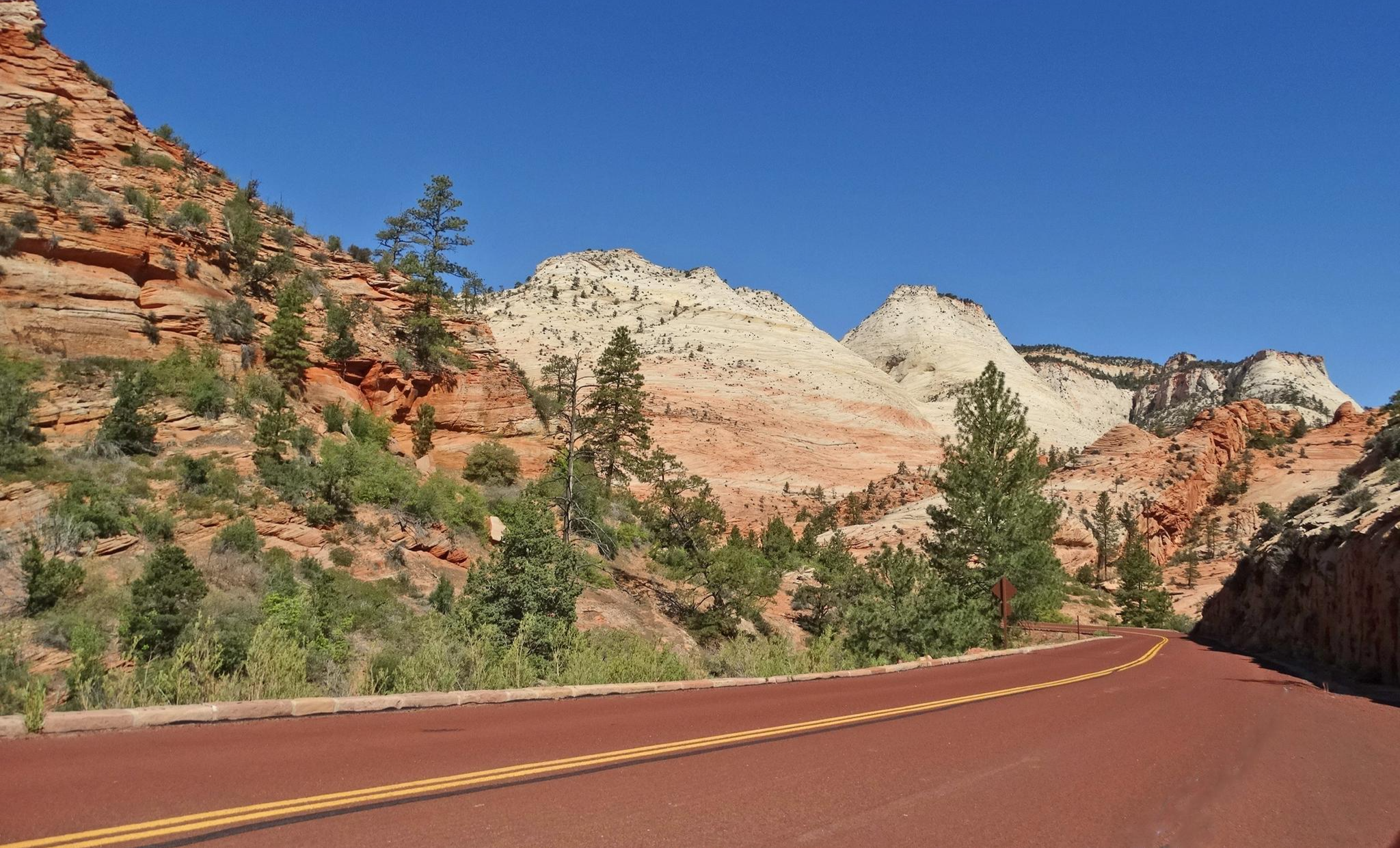
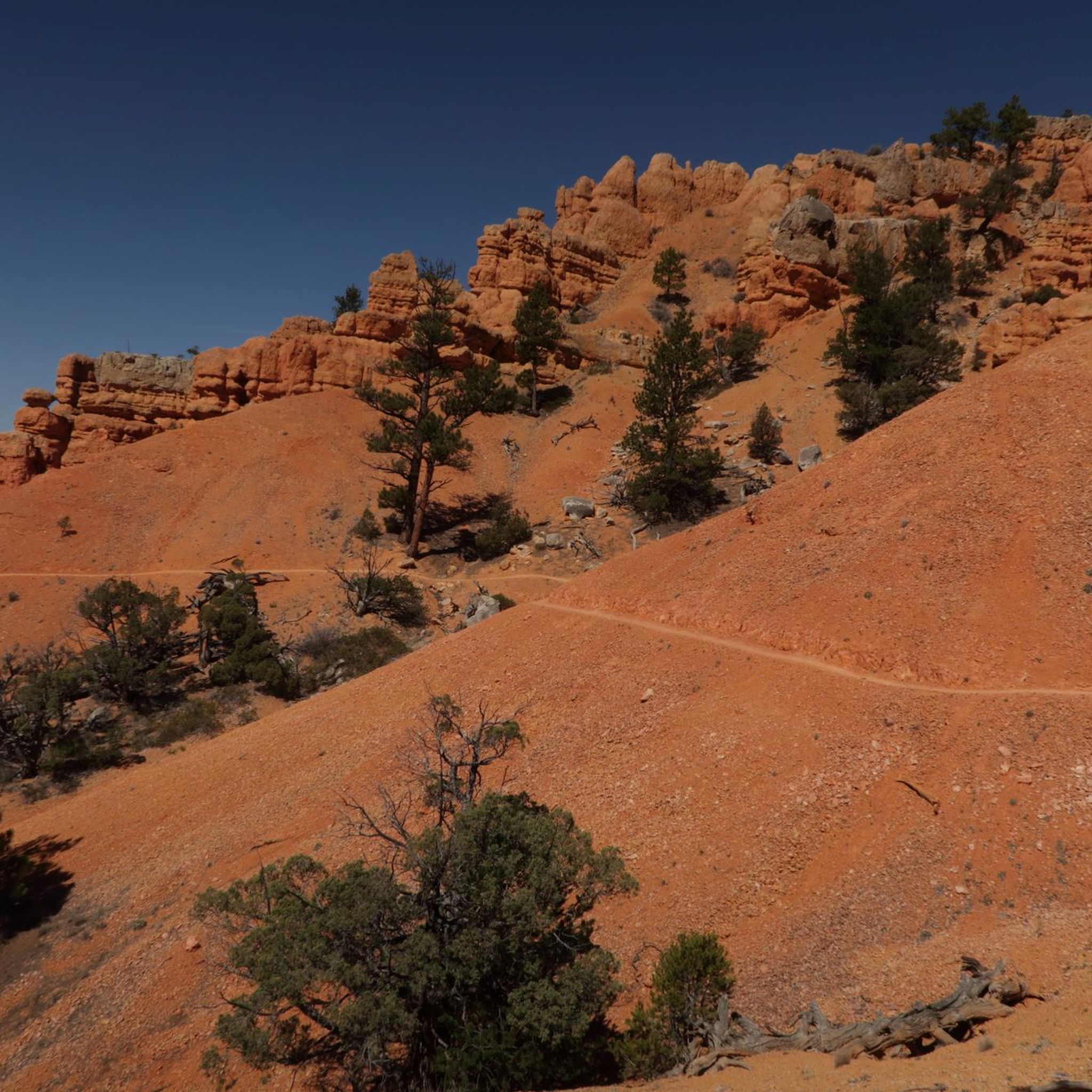
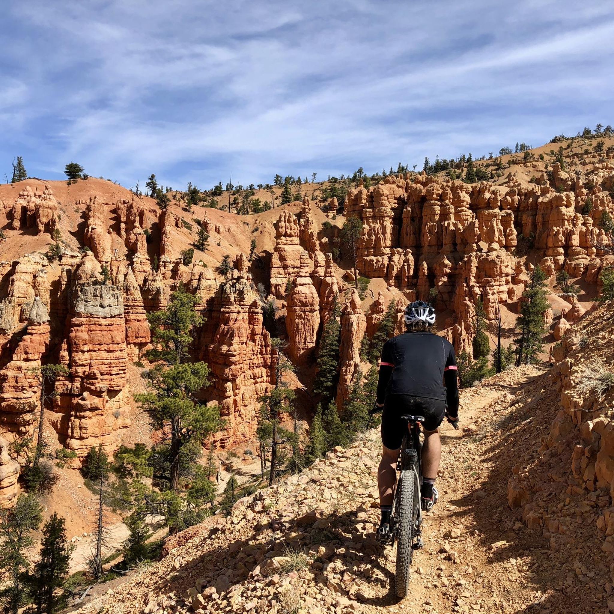
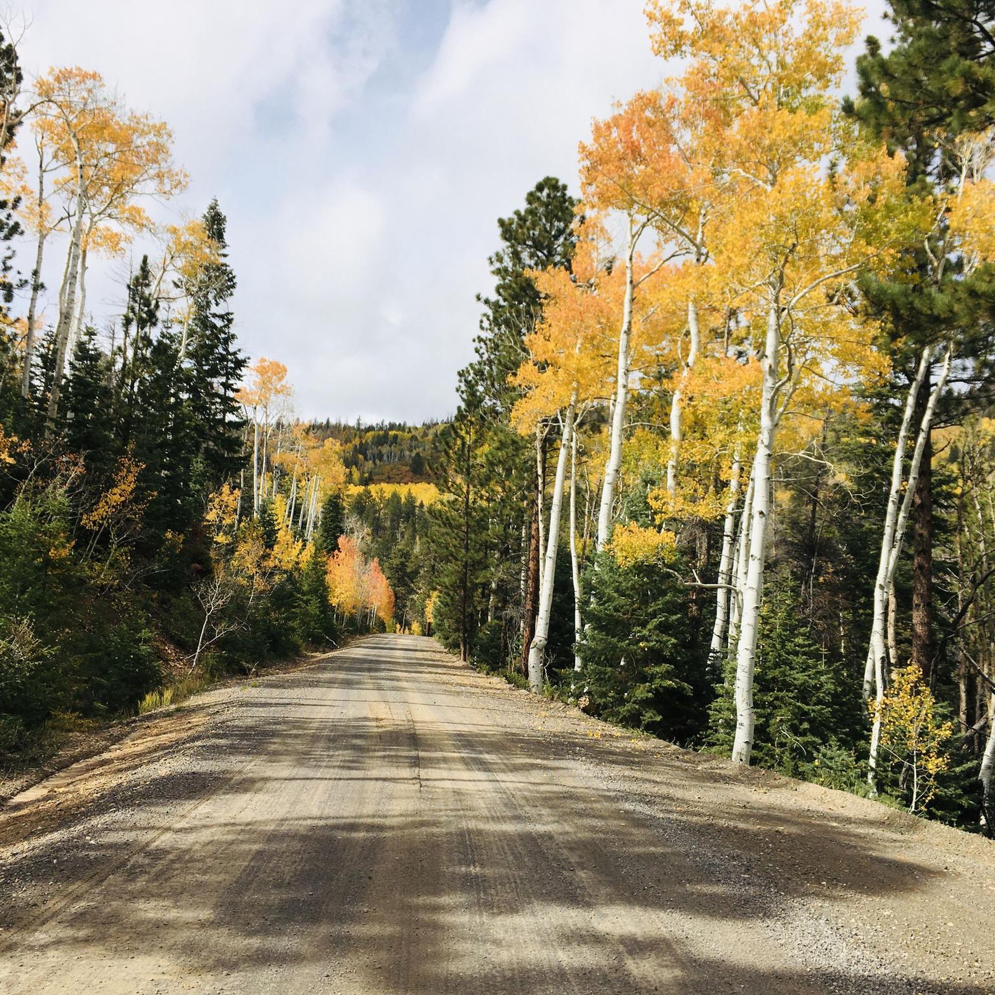
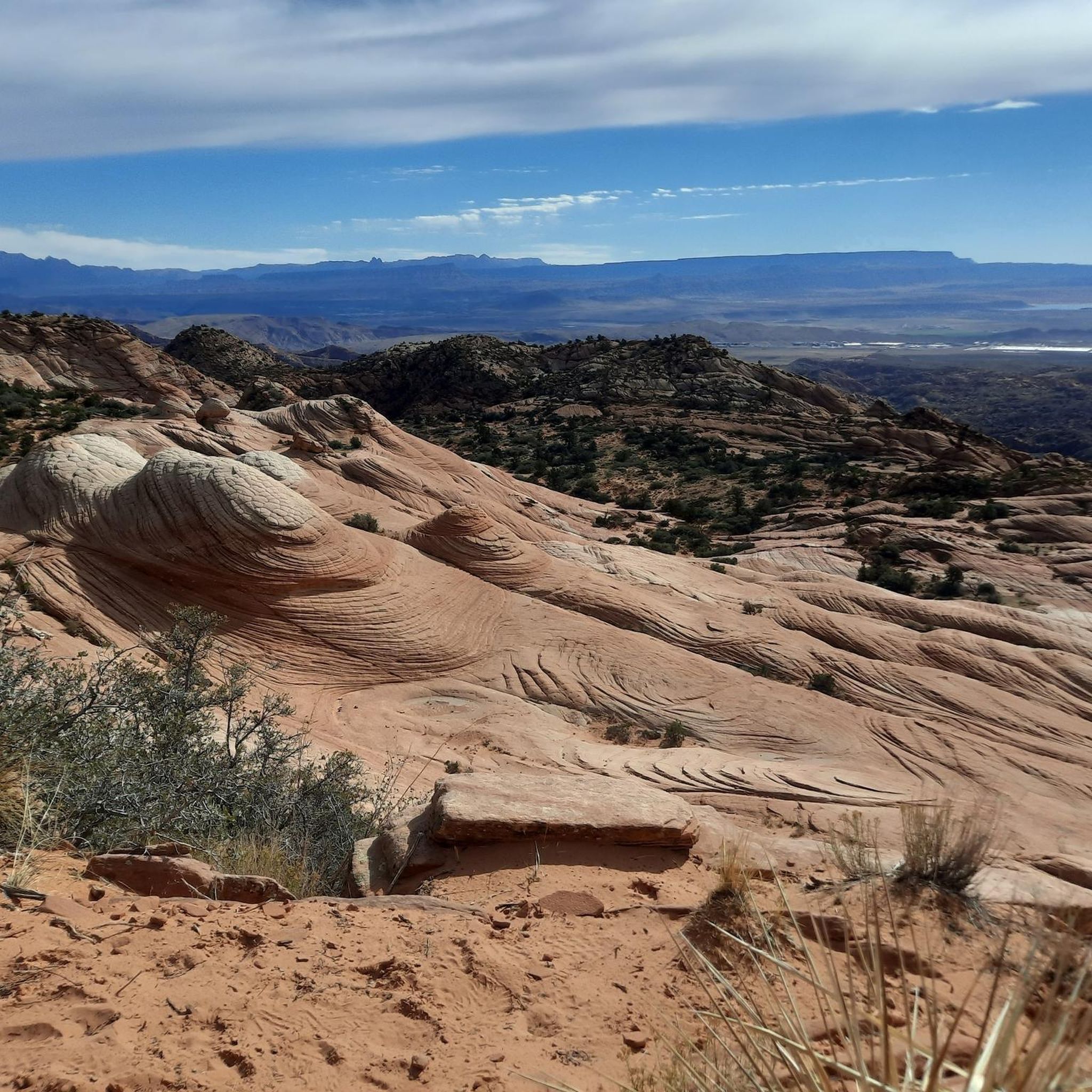
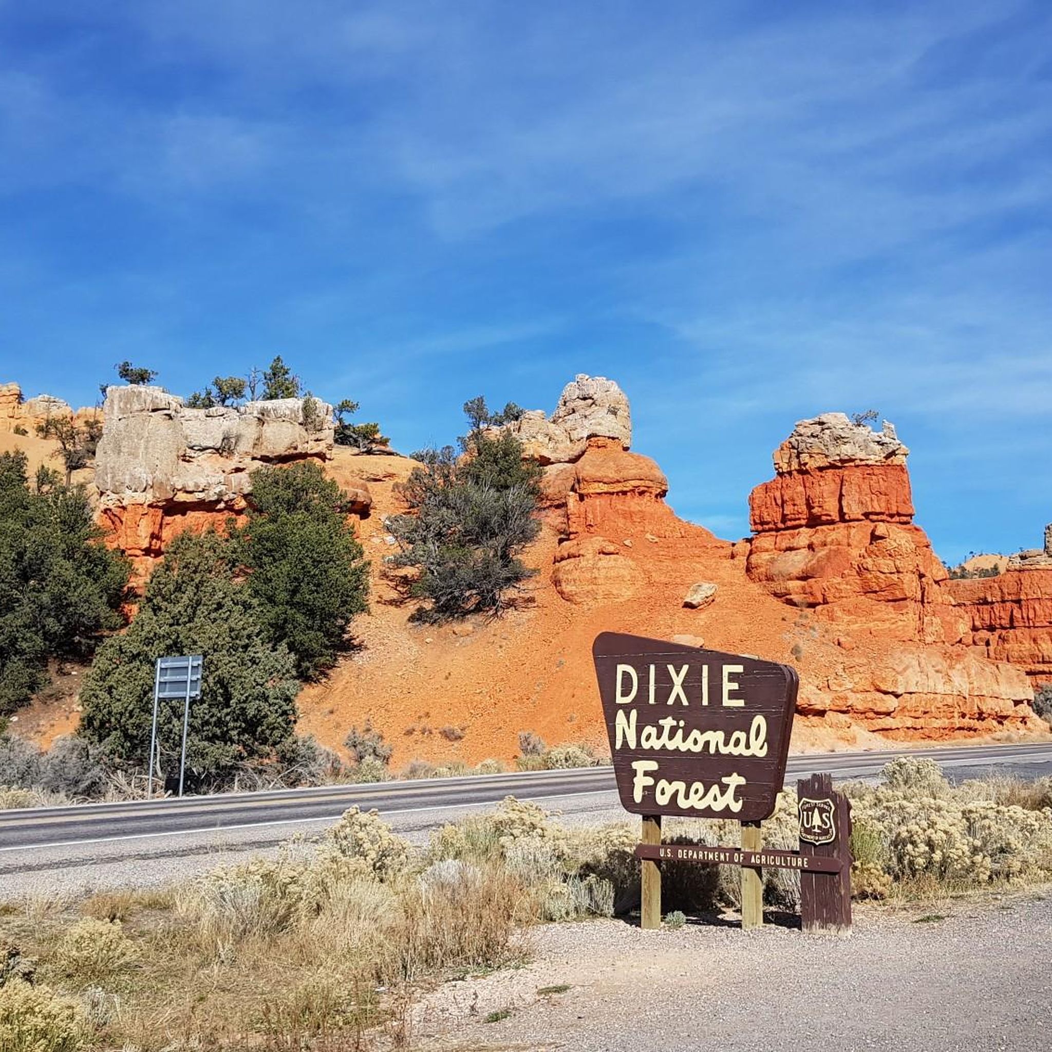
Gravel biking in Dixie National Forest offers diverse landscapes across nearly two million acres in southern Utah. The terrain features elevations ranging from 2,800 feet to over 11,322 feet, encompassing sparse desert plants, pinyon pine, juniper, aspen, and conifer forests. The region is characterized by dramatic red sandstone formations, lava fields, and an extensive network of forest service roads and trails suitable for gravel cycling. This varied environment provides opportunities for challenging climbs and descents amidst high-desert alpine scenery.
Best…
Last updated: October 11, 2026
16.2km
01:26
160m
160m
The Daves Hollow Loop offers a scenic gravel biking experience through the Dixie National Forest, winding through beautiful ponderosa pine forests and open meadows. You'll ride on a largely unpaved…
12.2km
00:59
80m
80m
The Navajo Lake Loop Trail offers a unique gravel biking adventure, circling the beautiful Navajo Lake through diverse terrain. You'll ride through cool pine, fir, and aspen forests, encountering sections…

1
riders
33.9km
02:48
760m
760m
Hard gravel ride. Very good fitness required. Mostly paved surfaces. Suitable for all skill levels.
2
riders
59.4km
05:08
1,390m
1,390m
Hard gravel ride. Very good fitness required. Mostly paved surfaces. Suitable for all skill levels.
3
riders
Hard gravel ride. Very good fitness required. Mostly paved surfaces. Suitable for all skill levels.
Our route recommendations are based on thousands of hikes, rides, and runs completed by other people on komoot.
Start today with a free account
Your next adventure awaits.
Other adventures in Dixie National Forest

Tips from the Community

This is a well-paved road with open views of the valley, good visibility for traffic, and space for cars to pass. You can connect to a handful of other roads which take you further into the canyons.
0
0

Escalante Petrified Forest State Park preserves a stunning collection of fossilized trees, some over 135 million years old, scattered across a high desert mesa. Here, you'll see colorful logs turned to stone and panoramic views of Wide Hollow Reservoir. There are places to camp, canoe, hike, or ride through this beautiful area, making it a great place to spend a weekend just outside of Escalante.
0
0

This multi-use path runs from Bryce Canyon City to Inspiration Point, offering an easy ride with amazing views of the park. The trail is family-friendly and a great way to explore away from the main roads.
0
0
Ruby's Inn Road is connected with Daves Hollow Road and Bryce Canyon Multi-use Path, making a loop around Bryce Canyon City. The road is mostly dirt mixed with rock compacted, suitable for an easy-going gravel trip with beautiful views.
0
0

The singletrack loop around this lake is one of the most popular trails in Dixie National Forest. You have some altitude here — the lake sits at more than 9,000 feet in elevation — but the trail is only somewhat technical, so it's reasonably accessible for a lot of riders.
0
0
Kanarra Mountain Road is a dirt road that provides a steady climb with some rough sections. It's a good option for those seeking for a mix of gravel and rocky terrain. Be prepared for some steep grades and carry plenty of water, as there are limited amenities along the route.
0
0

Great place to pull off UT 143 to get a great view of the Kodachrome Basin. There is a small parking area, but no benches or restrooms here.
0
0

Petrified wood is a type of fossilized wood created when tree remains undergo a mineralization process, often involving replacement by stone. While individual pieces of petrified wood are common, this area features several large trunks shimmering in various colors. The hike through this area is stunning, offering many views of colorful, fossilized tree stumps, a rewarding experience.
0
0
Frequently Asked Questions
How many gravel bike trails are available in Dixie National Forest?
Based on komoot data, there are at least 4 gravel bike routes documented in Dixie National Forest, offering a range of experiences for cyclists. These routes traverse diverse landscapes from high-desert alpine scenery to ponderosa pine forests.
Are there gravel bike trails suitable for beginners in Dixie National Forest?
While many routes in Dixie National Forest feature significant elevation changes, the Daves Hollow Loop, at 10.1 miles, offers a more accessible ride through ponderosa pine forests near Bryce Canyon, making it a good option for those looking for an easier experience.
What kind of landscapes can I expect to see while gravel biking in Dixie National Forest?
Dixie National Forest offers incredibly diverse landscapes, from vibrant red sandstone formations and distinctive hoodoos in areas like Red Canyon, to lava fields, and extensive forests of pinyon pine, juniper, aspen, and conifer. You'll also encounter numerous natural lakes and high-desert alpine scenery.
Are there any loop gravel bike trails in Dixie National Forest?
Yes, there are several loop options. The Navajo Lake Loop Trail is a 7.6-mile route offering scenic lake views and traversing lava fields. Another option is the North View Overlook – Sidney Peaks loop from Brian Head, which provides expansive views from high-elevation terrain.
What are some notable natural features or landmarks to look out for on gravel bike routes?
You'll find many stunning features. Red Canyon, often compared to Bryce Canyon, is known for its vibrant red sandstone and hoodoos. Navajo Lake offers beautiful lake views and lava fields. For panoramic vistas, consider routes that pass near Powell Point on the Aquarius Plateau. You can also explore highlights like Red Canyon Arch.
What is the best time of year for gravel biking in Dixie National Forest?
The best time for gravel biking typically spans from late spring through early fall. Due to the significant elevation changes (2,800 to over 11,322 feet), conditions can vary greatly. Lower elevations are accessible earlier and later in the season, while higher mountain routes are best enjoyed in summer and early fall to avoid snow and ice.
Are there any long-distance gravel routes for experienced riders?
For experienced riders seeking a longer challenge, the Scenic Byway 12 loop from Escalante is a substantial 64.3-kilometer route with over 1000 meters of elevation gain, offering a demanding and rewarding experience through varied terrain.
What do other gravel bikers enjoy most about riding in Dixie National Forest?
Gravel bikers frequently praise the dramatic and varied terrain, from red sandstone formations to high-alpine forests. The extensive network of forest service roads and trails provides endless opportunities for exploration, with stunning views and challenging climbs that make for a memorable outdoor adventure.
Are there any lakes or water features accessible from gravel bike trails?
Yes, Dixie National Forest is dotted with numerous lakes. The Navajo Lake Loop Trail offers direct scenic views of Navajo Lake. Other notable lakes in the forest include Panguitch Lake and Pine Valley Reservoir, which are popular for fishing and other water activities.
Are there specific viewpoints along the gravel bike routes in Dixie National Forest?
Many routes offer breathtaking viewpoints due to the varied elevation. Scenic Byway 12 and Hell's Backbone are known for their panoramic vistas. Powell Point on the Aquarius Plateau is an iconic viewpoint offering expansive views. The North View Overlook – Sidney Peaks loop from Brian Head also provides significant high-elevation views.
Are there any facilities or visitor centers near the gravel biking areas?
Yes, you can find facilities such as the Red Canyon Visitor Center, which is a good starting point for exploring the Red Canyon area. There are also campgrounds like Ruby's Inn RV Park and Campground nearby.
Most popular routes in Dixie National Forest
Most popular attractions in Dixie National Forest

Get inspired with the komoot mobile app


