The best walks and hikes around Area A (Osoyoos Lake)
5.0
(1)
44
hikers
4
hikes
Hiking around Area A (Osoyoos Lake) offers trails through a unique semi-arid desert ecosystem, characterized by rolling desert hills, vineyards, and orchards. The region is situated around Canada's warmest freshwater lake, influencing the local flora and creating distinctive environments. Landscapes include glacial meltwater formations, sand and gravel spits, and wetlands like the Osoyoos Oxbows. This diverse topography provides varied hiking experiences.
Best hiking trails around Area A (Osoyoos Lake)
- The most popular hiking route is Osoyoos – Legion Beach loop…
Last updated: August 24, 2026
5
hikers
5.13km
01:20
30m
30m
Easy hike. Great for any fitness level. Easily-accessible paths. Suitable for all skill levels.
5.0
(1)
16
hikers
9.00km
02:21
60m
60m
Moderate hike. Good fitness required. Easily-accessible paths. Suitable for all skill levels.

Sign up for free
11
hikers
7.84km
02:00
30m
30m
Moderate hike. Good fitness required. Easily-accessible paths. Suitable for all skill levels.
12
hikers
Easy hike. Great for any fitness level. Easily-accessible paths. Suitable for all skill levels.
Our route recommendations are based on thousands of hikes, rides, and runs completed by other people on komoot.
Start today with a free account
Your next adventure awaits.
Login or Signup
Popular around Area A (Osoyoos Lake)
Tips from the Community

This small regional airport primarily supports private and recreational aviation and is a prominent landmark along the Canal Walkway. Its open setting offers expansive views of nearby mountains, vineyards, orchards, and the arid landscape that makes Osoyoos unique in Canada. As you pass by, you’ll likely see planes taking off and landing at close range against the open valley setting.
0
0
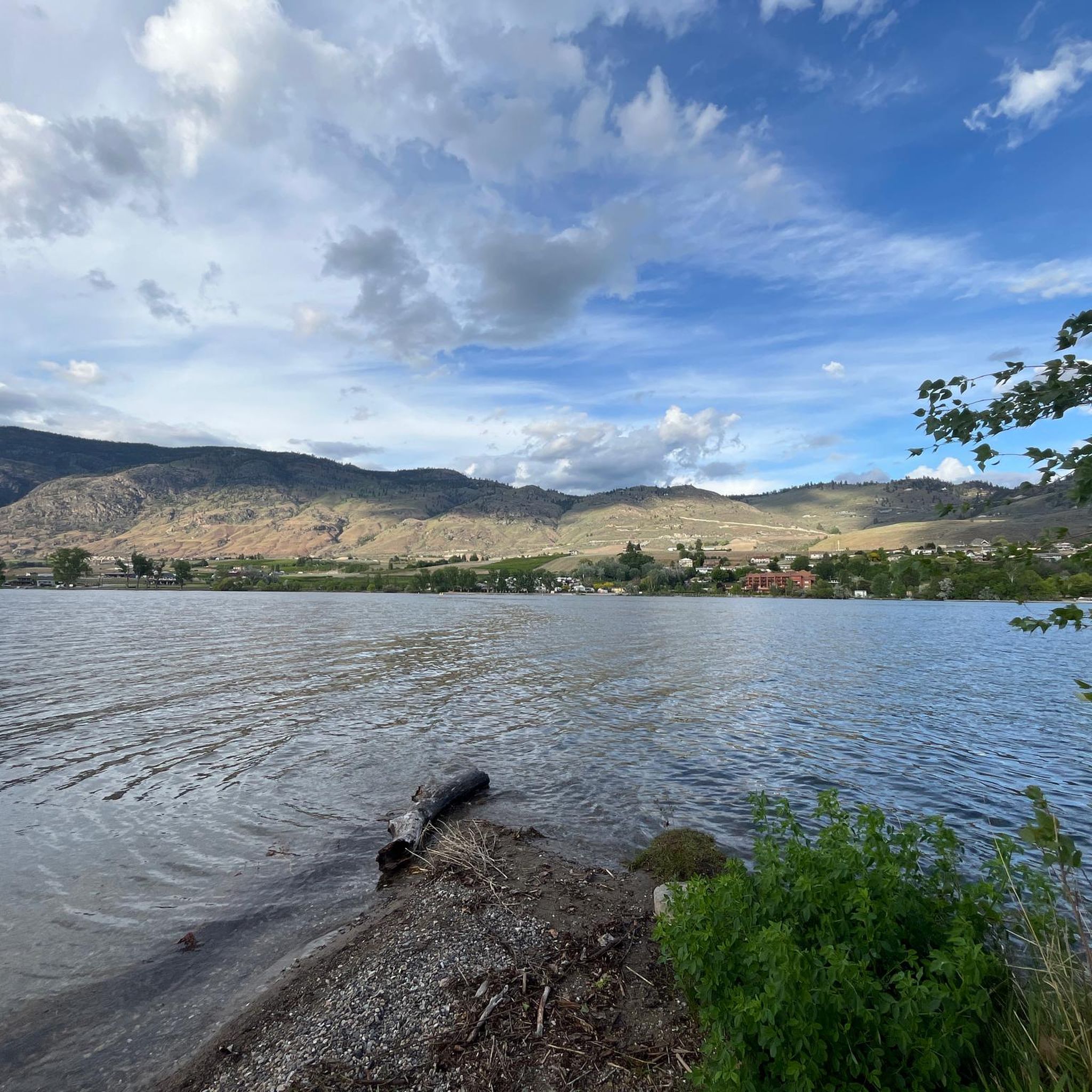
Osoyoos Canal Walkway is a paved, roughly five-kilometre loop that follows a historic irrigation canal once used to supply water to Osoyoos’ orchards, vineyards, and early community development. The route passes through sagebrush, cacti, and fertile agricultural lands, with plenty of native wildlife to see, including pheasants, osprey and wood ducks. Along the way, there are beautiful views of orchards, wineries, Osoyoos Lake, and the surrounding valley, making it one of the area’s most memorable urban trails. It’s a fantastic route, especially if you’re here in the evening, as the elevated vantage point is an excellent place for a sunset walk.
0
0
This parking lot is the main access point for the Canal Walkway and is a convenient starting point for exploring the canal corridor, desert scenery, and the surrounding agricultural landscape. Parking is free, and from here, you can immediately access the paved loop and enjoy views of South Okanagan’s beautiful mix of vineyards, orchards, and grasslands.
0
0

The Osoyoos Desert Centre is a nature education facility where visitors learn about desert ecology, habitat restoration and the protection of endangered ecosystems in the semi-arid shrubland of the southern Okanagan. Visitors are invited to explore the desert on a tour along a boardwalk. The Desert Centre, located north of Osoyoos on Highway 97, is operated by the Osoyoos Desert Society, a non-profit organization and is open annually from May to early October. (Visit May 25, 2018) https://www.desert.org/visit-us
2
0

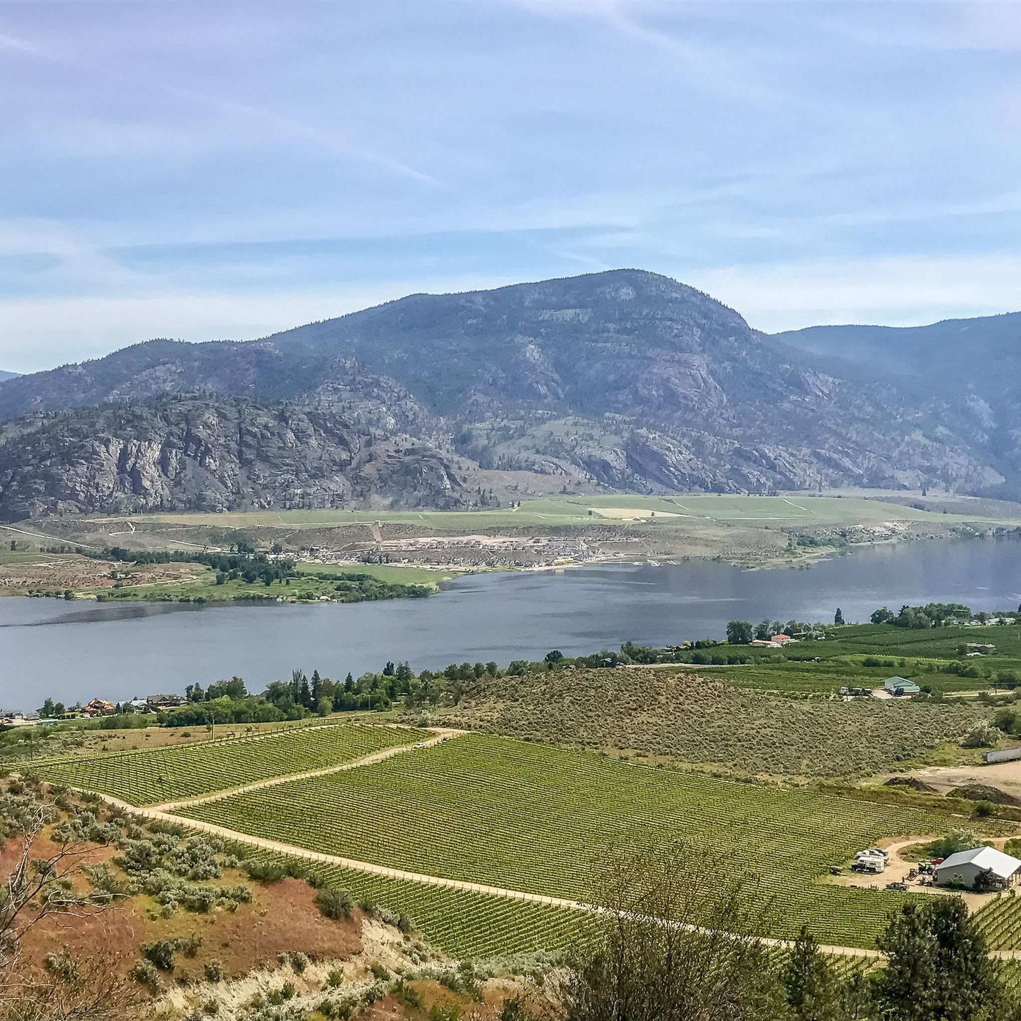
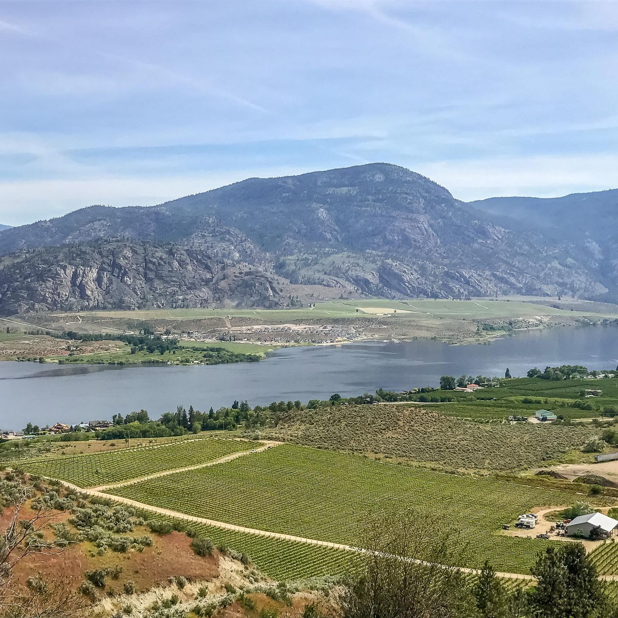
Fantastic view of Osoyoos and the entire valley
0
0
Here you can find some small shops for shopping.
0
0

Osoyoos is an ideal place for those who enjoy warm weather, good wine, MTB descents and nature.
3
0
One of the best areas to practice MTB in Osoyoos is Mount Kobau. This area offers trails of varying levels of difficulty, from gentle routes to technical descents. The terrain is a mix of sandy and rocky soils, perfect for bikers looking for a challenge.
3
0
Frequently Asked Questions
How many hiking trails are available around Area A (Osoyoos Lake)?
There are a number of hiking trails around Area A (Osoyoos Lake) catering to various skill levels. Our guide features 3 routes, with 2 being easy and 1 moderate, but the region offers many more options through its unique desert landscape.
What kind of terrain can I expect on hikes around Osoyoos Lake?
The terrain around Osoyoos Lake is characterized by a unique semi-arid desert ecosystem, featuring rolling desert hills, vineyards, orchards, and wetlands. You'll find paths ranging from flat, easy walks through wetlands to more challenging climbs in mountainous areas, often with sandy or gravelly sections.
Are there any easy, family-friendly hiking options near Osoyoos Lake?
Yes, several trails are suitable for families. The Osoyoos loop from Osoyoos Lake is an easy 7.6 km path, perfect for a pleasant walk. Other family-friendly options include the Osoyoos Oxbows Trail, which is flat and great for birdwatching, and the sw̓iw̓s Park Wetlands Trail (formerly Haynes Point) offering shaded sections and lake breezes.
Can I bring my dog on the hiking trails in Area A (Osoyoos Lake)?
Many trails in the Osoyoos Lake area are dog-friendly, but it's always best to check specific trail regulations before you go. Remember to keep your dog on a leash, especially in sensitive desert ecosystems, and pack out all waste. Ensure your dog has plenty of water, as the semi-arid climate can be very warm.
What are some notable natural features or landmarks to look out for while hiking?
While hiking, you can explore unique natural features like the semi-arid antelope-brush ecosystem, Canada's only desert. Don't miss the fascinating Spotted Lake (kłlilx'w), a mineral-rich lake that forms colorful pools as water evaporates. The Osoyoos Oxbows, a wetland area, are excellent for birdwatching. You can also visit the Osoyoos Desert Centre for an interpretive trail showcasing the desert's flora and fauna.
Are there any trails that offer panoramic views of Osoyoos Lake?
Absolutely. For stunning panoramic views, consider the Mount Kobau Trail, which leads to a summit offering expansive vistas of the Similkameen and Okanagan Valleys. The Anarchist Mountain Lookout, while not a hiking trail itself, provides breathtaking views of Osoyoos Lake and southward into Washington State. The Golden Mile Stamp Mill Trail also offers great views of vineyards and the valley.
What is the best time of year to go hiking around Osoyoos Lake?
The best time for hiking around Osoyoos Lake is typically spring and fall when temperatures are milder. Summer can be very hot, with lake temperatures averaging 24°C (75°F) and air temperatures reaching up to 33°C (91°F) in August, making early mornings or late afternoons preferable for hikes. The unique desert environment means conditions can vary, so always check the forecast.
Are there any circular hiking routes available?
Yes, there are several circular routes. The Osoyoos – Legion Beach loop from Osoyoos is a moderate 9.0 km trail. Another option is the Osoyoos Desert Centre – Osoyoos Desert loop from Osoyoos Desert Centre, a shorter 1.7 km trail through the desert landscape. The Irrigation Canal Walkway is also a 4.3 km paved loop.
Where can I find parking for popular trailheads?
Parking is generally available at the trailheads for popular routes. For example, the International Hike and Bike Trail and Osoyoos Oxbows Trail typically have designated parking areas. For trails like the Mount Kobau Trail, parking is usually found at the base or designated access points. It's advisable to check specific trail information for detailed parking instructions before your visit.
What makes the hiking experience around Osoyoos Lake unique?
Hiking around Osoyoos Lake offers a truly unique experience due to its rare semi-arid desert ecosystem, often called Canada's 'pocket desert.' You'll traverse landscapes of rolling desert hills, vineyards, and orchards, all set against the backdrop of Canada's warmest freshwater lake. This distinct environment supports diverse flora and fauna not found elsewhere in Canada, providing a memorable outdoor adventure.
What do other hikers say about the trails in Area A (Osoyoos Lake)?
The trails in Area A (Osoyoos Lake) are highly rated by the komoot community, with an average score of 5.0 stars. Hikers often praise the unique desert scenery, the variety of trails for different skill levels, and the opportunities for wildlife spotting. The accessibility of trails and the beautiful lake views are also frequently highlighted.
Are there any more challenging hikes for experienced trekkers?
For those seeking a more challenging adventure, the Mount Kobau Trail is a rewarding 5 km loop to the summit (1873 meters elevation), offering significant elevation gain and panoramic views. Another moderately challenging option is the McIntyre Bluff hike, a 10 km round-trip that provides spectacular views of the Okanagan Valley.
What wildlife might I encounter on the trails?
Given the unique semi-arid desert and wetland environments, you might encounter diverse wildlife. The Osoyoos Oxbows are particularly known for birdwatching, hosting various bird species. You could also spot desert-adapted animals like rattlesnakes (be cautious), lizards, and various insects. Keep an eye out for larger mammals like deer in quieter areas.
Most popular routes around Area A (Osoyoos Lake)
Most popular attractions around Area A (Osoyoos Lake)

Get inspired with the komoot mobile app


Explore more
Browse the best Hikes in other regions.
