The best road cycling routes around Area A (Osoyoos Lake)
5.0
(3)
544
riders
13
rides
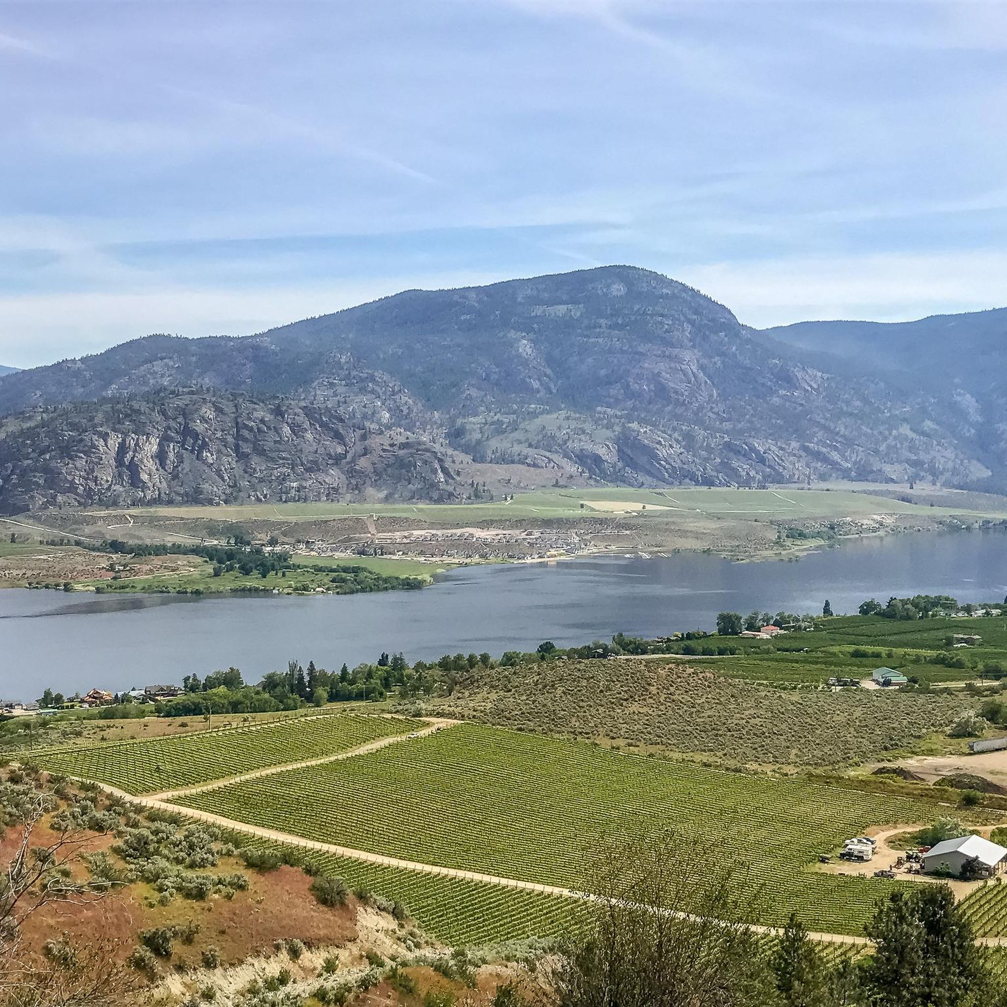
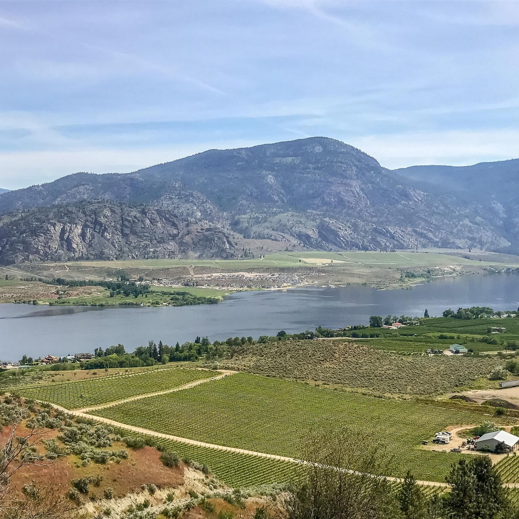
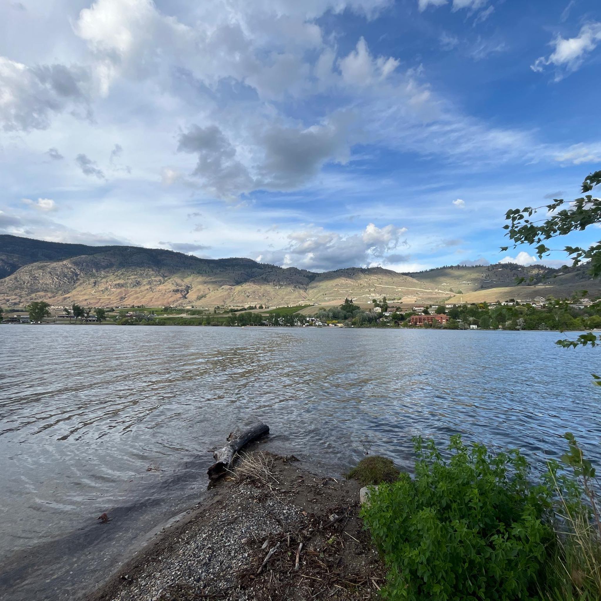
Road cycling routes around Area A (Osoyoos Lake) navigate a landscape characterized by the warm, dry climate of the South Okanagan Valley, featuring the expansive Osoyoos Lake and surrounding hills. The terrain includes gentle lakeside stretches, vineyard-lined roads, and more challenging climbs into the arid hillsides. Elevation Osoyoos BC varies, offering both relatively flat sections and significant ascents for advanced road bike climbs.
Best road cycling routes around Area A (Osoyoos Lake)
- The most popular road cycling route is Pentâge Winery – Along the Lake loop from South Okanagan Wildlife Management Area, a 67.6 miles (108.8 km) trail that takes about 5 hours to complete. This difficult route offers extensive lake views and passes through vineyard country.
- Another top favourite among local road cyclists is Osoyoos loop from Osoyoos, a moderate 30.4 miles (48.9 km) path. This route circles the town and lake, providing a balanced ride with varied scenery.
- Local road cyclists also love the Osoyoos – Bighorn Sheep Pasture loop from Osoyoos, a 63.6 miles (102.4 km) trail leading through hilly terrain, often completed in about 4 hours 45 minutes. This difficult route offers panoramic views and potential wildlife sightings.
- Road cycling around Area A (Osoyoos Lake) is defined by lakefront paths, vineyard roads, and arid hills, with options for different ability levels.
- The routes in Area A (Osoyoos Lake) are highly rated by the komoot community with an average score of 5.0 stars from over 3 reviews. More than 500 road cyclists have used komoot to explore Area A (Osoyoos Lake)'s varied terrain.
Last updated: August 28, 2026
5.0
(2)
204
riders
109km
04:56
1,090m
1,090m
Hard road ride. Very good fitness required. Mostly well-paved surfaces and easy to ride.
59
riders
48.9km
02:01
290m
290m
Moderate road ride. Good fitness required. Mostly well-paved surfaces and easy to ride.

Sign up for free
46
riders
102km
04:44
970m
970m
Hard road ride. Very good fitness required. Mostly well-paved surfaces and easy to ride.
39
riders
89.6km
04:04
760m
760m
Moderate road ride. Good fitness required. Mostly well-paved surfaces and easy to ride.
18
riders
41.4km
01:58
250m
250m
Easy road ride. Great for any fitness level. Mostly well-paved surfaces and easy to ride.
Get access to more routes and recommendations from other explorers.
Sign up for free
Already have an account?
Our route recommendations are based on thousands of hikes, rides, and runs completed by other people on komoot.
Start today with a free account
Your next adventure awaits.
Login or Signup
Popular around Area A (Osoyoos Lake)
Tips from the Community

Osoyoos is an ideal place for those who enjoy warm weather, good wine, MTB descents and nature.
3
0
One of the best areas to practice MTB in Osoyoos is Mount Kobau. This area offers trails of varying levels of difficulty, from gentle routes to technical descents. The terrain is a mix of sandy and rocky soils, perfect for bikers looking for a challenge.
3
0


Scenic ride with minimal vehicle traffic
0
0
Frequently Asked Questions
How many road cycling routes are available in Area A (Osoyoos Lake)?
There are over 10 road cycling routes around Area A (Osoyoos Lake) documented on komoot, offering a variety of distances and difficulty levels to explore the region's unique landscape.
What do other road cyclists enjoy most about road cycling in Area A (Osoyoos Lake)?
The area is highly rated by the komoot community, with an average score of 5.0 stars from over 3 reviews. Road cyclists often praise the extensive lake views, vineyard-lined roads, and the diverse terrain that includes both gentle lakeside stretches and challenging climbs.
What is the best time of year for road biking around Osoyoos Lake?
Given the warm, dry climate of the South Okanagan Valley, spring and fall generally offer the most pleasant conditions for road cycling, with comfortable temperatures and beautiful scenery. Summer can be very hot, so early morning or late afternoon rides are recommended.
Are there easy road bike trails suitable for beginners around Osoyoos Lake?
Yes, there are routes suitable for beginners. For example, the Osoyoos loop from Haynes Point Provincial Park is an easy 41.4 km ride with moderate elevation gain, perfect for those new to road cycling or looking for a relaxed outing.
Where can I find challenging road bike climbs in Area A (Osoyoos Lake)?
For advanced road cyclists seeking climbs, the arid hillsides surrounding Osoyoos Lake offer significant ascents. Routes like the Pentâge Winery – Along the Lake loop from South Okanagan Wildlife Management Area (108.8 km with over 1000m elevation gain) or the Osoyoos – Bighorn Sheep Pasture loop from Osoyoos (102.4 km with over 900m elevation gain) provide demanding experiences with panoramic views.
Are there any circular road bike routes around Osoyoos Lake?
Yes, many routes are designed as loops, allowing you to start and end in the same location. A popular option is the Osoyoos loop from Osoyoos, a moderate 48.9 km path that circles the town and lake, offering varied scenery.
What can I see along the road cycling routes in Area A (Osoyoos Lake)?
Road cycling routes in this area offer diverse sights. You can expect extensive lake views, vineyard landscapes, and arid hills. Notable attractions nearby include the Osoyoos Desert Centre, the unique Spotted Lake, and the town of Osoyoos itself. Many routes also pass through the South Okanaghan Grasslands.
Are there road bike routes with cafes or places to stop near Osoyoos Lake?
Many routes pass through or near the town of Osoyoos, where you'll find various cafes, restaurants, and amenities. Additionally, the region is known for its wineries, some of which may offer tasting rooms or cafes along the cycling paths, providing pleasant stopping points.
What viewpoints can I expect on road bike routes around Osoyoos Lake?
The routes frequently offer stunning viewpoints, particularly from the higher elevations in the surrounding hills. You can expect panoramic vistas of Osoyoos Lake, the Okanagan Valley, and the unique desert landscape. The Osoyoos – Bighorn Sheep Pasture loop from Osoyoos is known for its panoramic views.
How does road cycling in Area A (Osoyoos Lake) compare to other Okanagan areas?
Road cycling around Osoyoos Lake is distinct due to its warm, dry desert climate, making it one of Canada's hottest regions. This results in unique arid landscapes, extensive vineyards, and the warmest lake in Canada. While other Okanagan areas also offer beautiful rides, Osoyoos Lake provides a more desert-like cycling experience with specific flora and fauna.
Are there family-friendly road bike routes in Area A (Osoyoos Lake)?
Yes, routes with less elevation gain and away from heavy traffic are suitable for families. The easy-rated routes, such as the Osoyoos loop from Haynes Point Provincial Park, offer a good option for a family outing, providing scenic views without overly challenging terrain.
Most popular routes around Area A (Osoyoos Lake)
Most popular attractions around Area A (Osoyoos Lake)

Get inspired with the komoot mobile app


Explore more
Browse the best Road cycling routes in other regions.
