The best running trails around Area A (Osoyoos Lake)
83
runners
6
runs
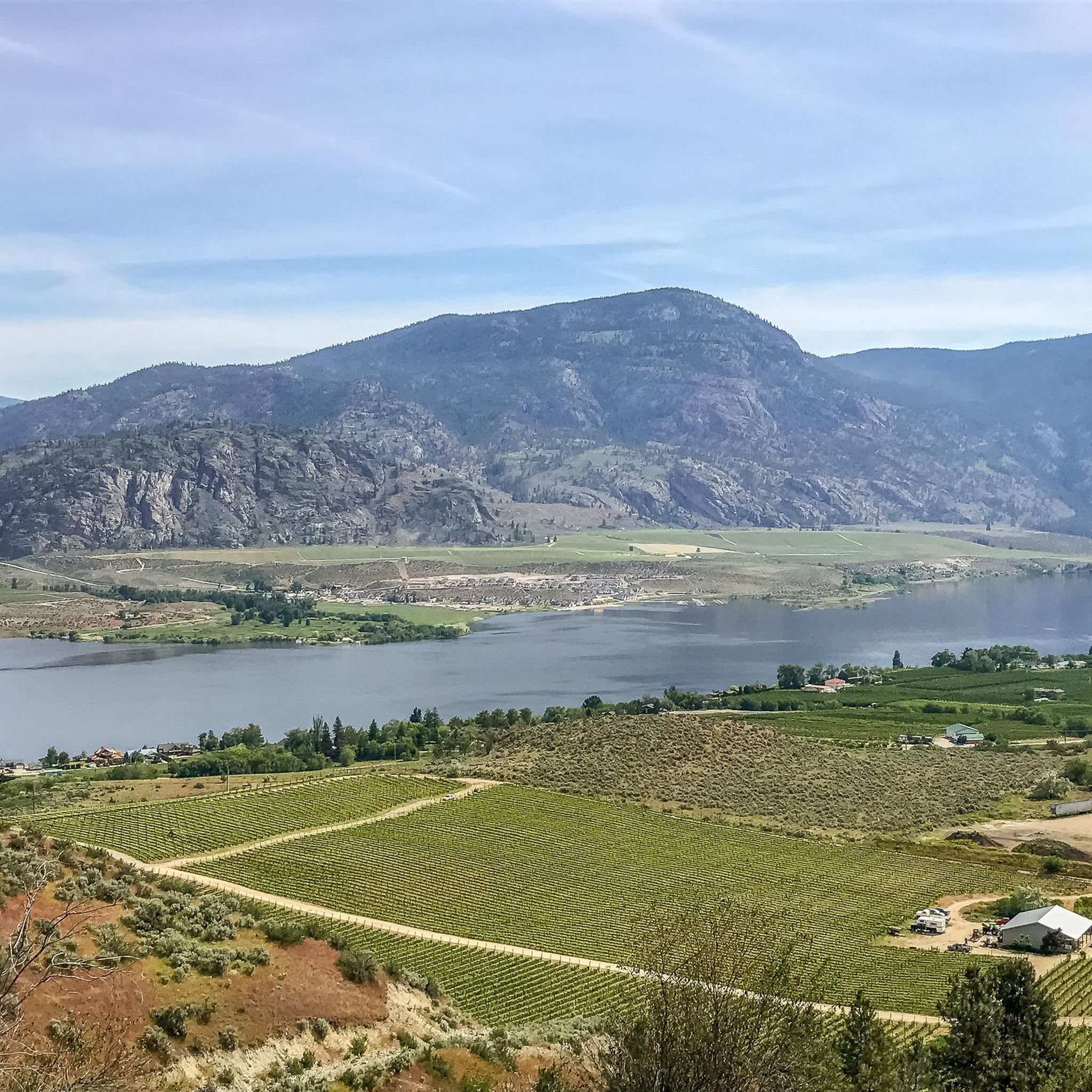
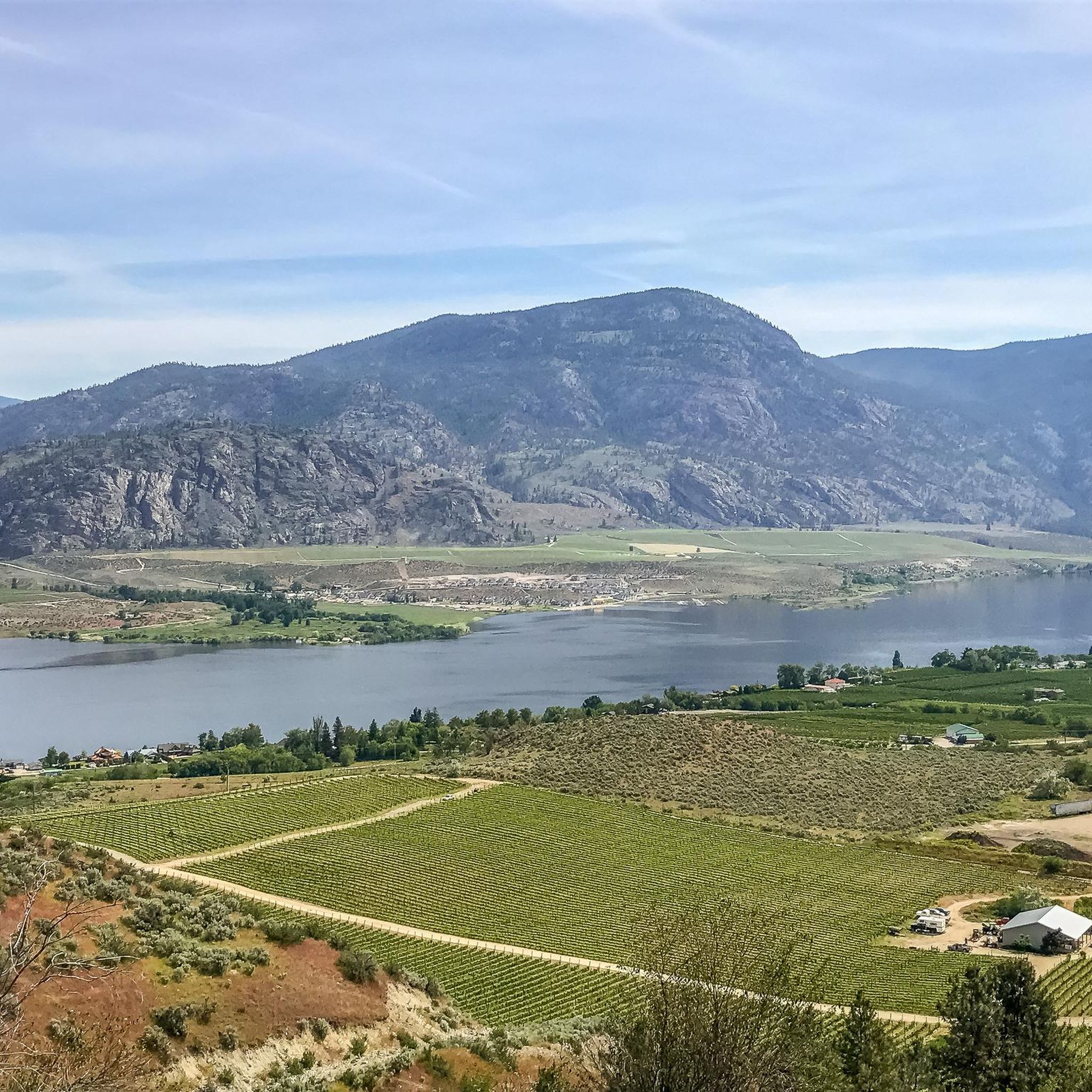
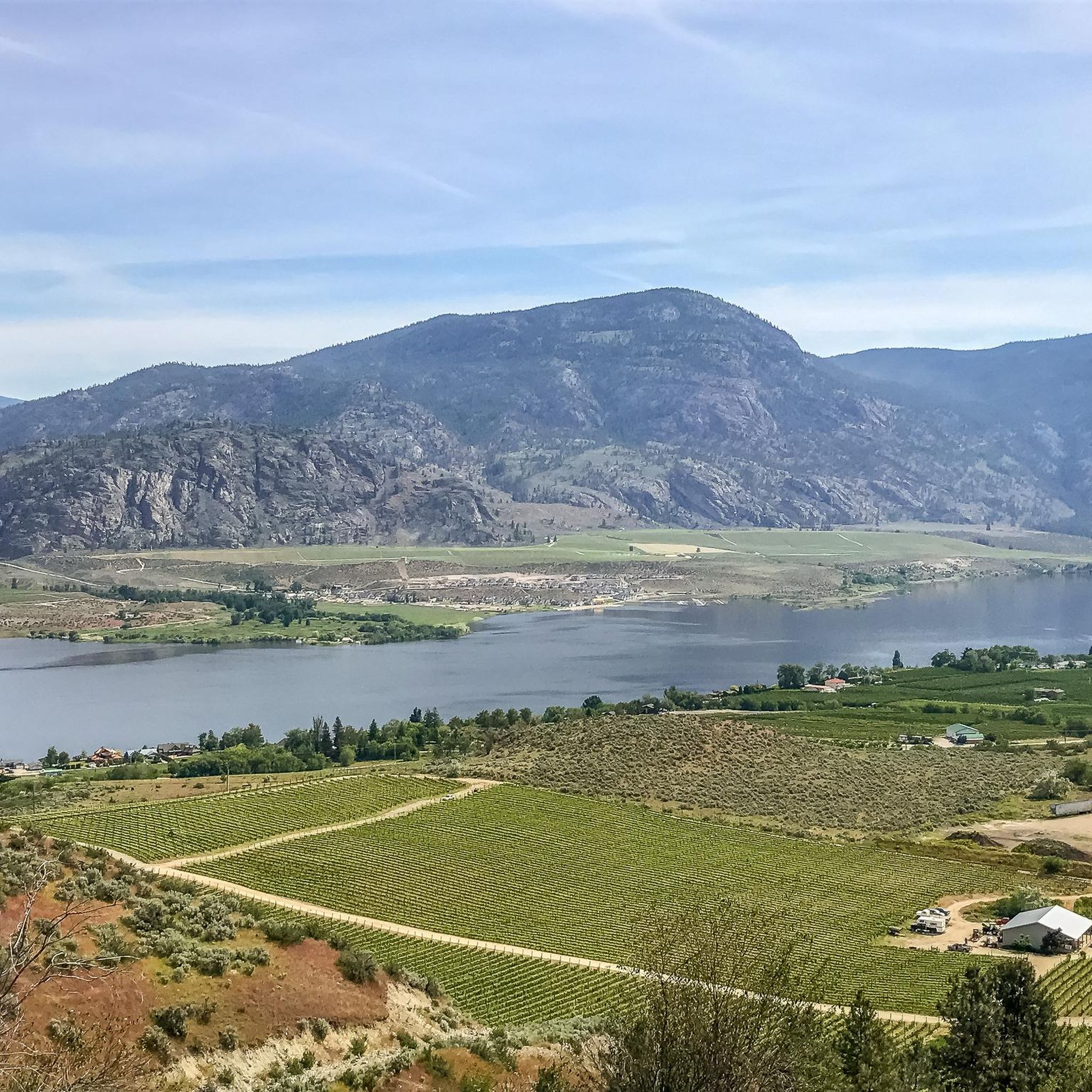
Jogging around Area A (Osoyoos Lake) offers routes through Canada's only desert landscape, characterized by semi-arid terrain, rolling hills, vineyards, and orchards. The region features the country's warmest freshwater lake, Osoyoos Lake, providing a unique backdrop for outdoor activities. Wetlands and oxbows also contribute to the diverse natural environment, making it a distinctive area for running.
Best jogging routes around Area A (Osoyoos Lake)
- The most popular jogging route is Running loop from Osoyoos, a 6.9 miles (11.0 km) trail that takes 1 hour 8 minutes to complete. This route offers views of the surrounding desert and lake.
- Another top favourite among local runners is Gyro Beach loop from Nk'Mip Desert Cultural Centre, a moderate 5.4 miles (8.7 km) path. This loop provides scenic views of Osoyoos Lake and the unique desert ecosystem.
- Local runners also love the Tuc El Nuit Lake loop from Oliver, a 3.6 miles (5.8 km) trail leading through varied terrain, often completed in about 36 minutes.
- Jogging around Area A (Osoyoos Lake) is defined by semi-arid desert, rolling hills, and the shores of Canada's warmest freshwater lake. The network offers options for different ability levels, from easy loops to more challenging runs.
- The guide includes highly-rated routes that showcase the best of the region's landscape. More than 80 runners have used komoot to explore Area A (Osoyoos Lake)'s varied terrain.
Last updated: August 20, 2026
24
runners
11.0km
01:08
60m
60m
Moderate run. Good fitness required. Mostly paved surfaces. Suitable for all skill levels.
9
runners
9.88km
01:03
60m
60m
Moderate run. Good fitness required. Mostly paved surfaces. Suitable for all skill levels.

Sign up for free
5
runners
5.84km
00:36
20m
20m
Moderate run. Good fitness required. Mostly paved surfaces. Suitable for all skill levels.
6
runners
5.18km
00:32
20m
20m
Moderate run. Good fitness required. Mostly paved surfaces. Suitable for all skill levels.
4
runners
7.14km
00:44
30m
30m
Moderate run. Good fitness required. Mostly paved surfaces. Suitable for all skill levels.
Our route recommendations are based on thousands of hikes, rides, and runs completed by other people on komoot.
Start today with a free account
Your next adventure awaits.
Login or Signup
Popular around Area A (Osoyoos Lake)
Tips from the Community

This is a campground that has public access during the day - there are plenty of spots to catch a peaceful view of both sides of the lake.
0
0
Frequently Asked Questions
How many running routes are available around Area A (Osoyoos Lake)?
There are currently 6 dedicated running routes available on komoot for Area A (Osoyoos Lake). These routes offer a variety of experiences, from scenic loops to trails exploring the unique desert landscape.
Are there any easy or beginner-friendly jogging routes in the Osoyoos Lake area?
While all routes listed are currently rated as moderate, many offer relatively flat terrain suitable for beginners. For instance, the Tuc El Nuit Lake loop from Oliver is a shorter option at 5.8 km with minimal elevation gain, making it a good choice for those starting out. The Gyro Beach loop from Osoyoos is another accessible option at 5.2 km.
What are some longer distance running trails around Osoyoos Lake?
For a longer run, consider the Running loop from Osoyoos, which covers 11 km and offers expansive views of the desert and lake. The International Hike and Bike Trail, though not a specific komoot route in this guide, is also a well-known 18.4 km path along the Okanagan River Channel, suitable for extended runs.
Are there any circular running routes in the Osoyoos Lake region?
Yes, many of the routes are circular, providing convenient starting and ending points. Popular loop options include the Running loop from Osoyoos (11 km), the Gyro Beach loop from Nk'Mip Desert Cultural Centre (8.7 km), and the Tuc El Nuit Lake loop from Oliver (5.8 km).
What kind of scenery can I expect on the jogging routes around Osoyoos Lake?
The region offers a unique blend of landscapes. You'll experience Canada's only desert, with semi-arid terrain, rolling hills, vineyards, and orchards. Many routes provide stunning views of Osoyoos Lake, the country's warmest freshwater lake. You might also encounter wetlands and oxbows, particularly in areas like the Osoyoos Oxbows, known for birdwatching.
Are there any family-friendly running paths near Osoyoos Lake?
Routes with minimal elevation and paved sections are often suitable for families. The Irrigation Canal Walkway, a 4.3 km paved loop, is an excellent choice for a comfortable family jog, offering views of the town and lake. The trails around Osoyoos Lake Regional Park also provide pleasant, easy routes.
What are some interesting landmarks or attractions I can see along or near the running trails?
The area is rich in natural and cultural attractions. You can explore the unique mineral formations of Spotted Lake, a sacred healing place for the Syilx (Okanagan) People. The Osoyoos Desert Centre offers an interpretive boardwalk through the desert habitat. Many routes also pass by the shores of Osoyoos itself, a vibrant settlement.
What is the best time of year for running around Osoyoos Lake?
The warm, sunny climate of the Okanagan Valley makes it suitable for outdoor activities for much of the year. Spring and fall offer pleasant temperatures for running, avoiding the peak summer heat. Even winter can be suitable, as the region experiences milder conditions compared to other parts of Canada, though some trails might be affected by snow or ice.
Are there dog-friendly running trails in the Osoyoos Lake area?
Many trails in the region, especially those in natural areas like the International Hike and Bike Trail or the Okanagan River East Bank Trail, are generally dog-friendly. However, it's always recommended to keep dogs on a leash and check specific park or trail regulations before heading out.
Where can I find parking for running trails around Osoyoos Lake?
Many popular trailheads, such as those for the International Hike and Bike Trail, the Irrigation Canal Walkway, and routes originating from Osoyoos or Oliver, typically have designated parking areas. For routes like the Gyro Beach loop from Nk'Mip Desert Cultural Centre, parking is often available at or near the cultural centre itself or public access points along the lake.
What do other runners enjoy most about jogging in Area A (Osoyoos Lake)?
Runners frequently praise the diverse and unique landscape, from the semi-arid desert to the views of Osoyoos Lake. The variety of routes, catering to different fitness levels, is also a highlight. Over 80 komoot users have explored these trails, appreciating the opportunity to experience Canada's only desert environment while staying active.
Most popular routes around Area A (Osoyoos Lake)
Most popular attractions around Area A (Osoyoos Lake)

Get inspired with the komoot mobile app


Explore more
Browse the best Running Trails & Routes in other regions.
