The best mountain hikes around Hahausen
4.3
(4)
10
hikers
3
hikes
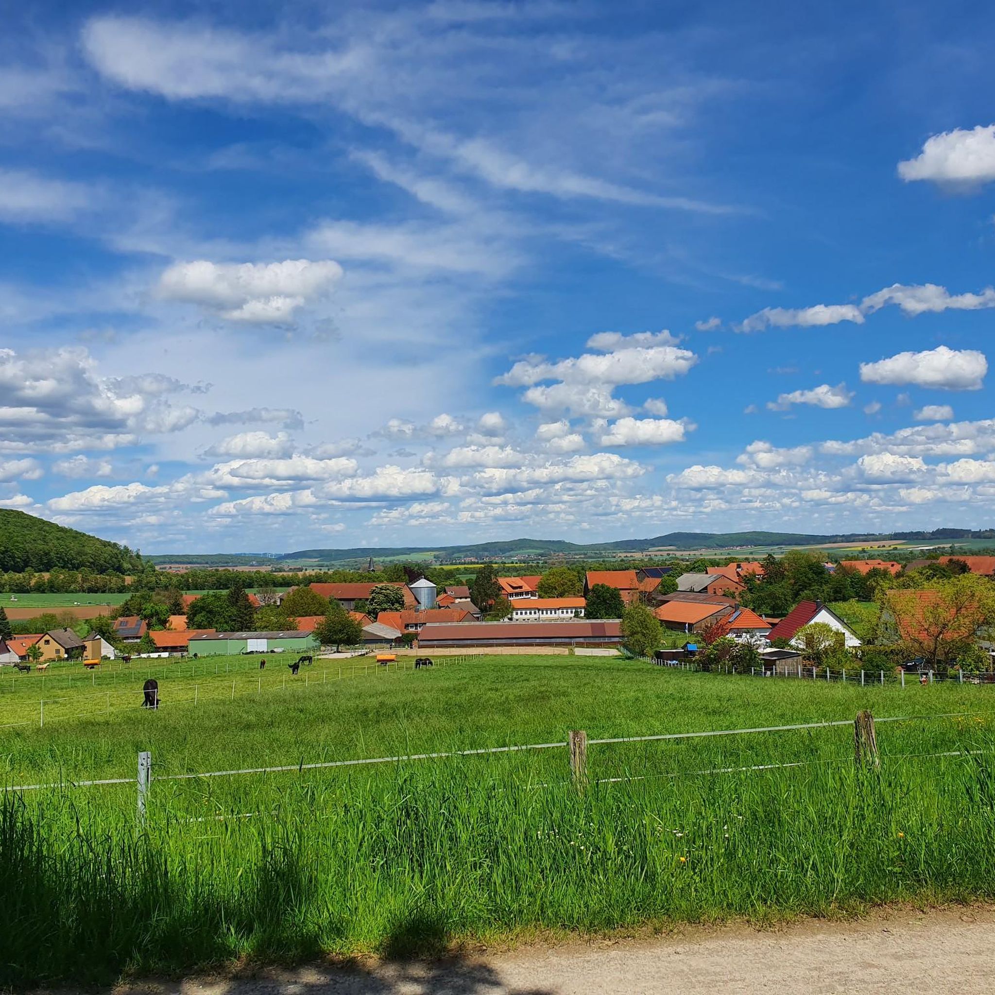
Mountaineering around Hahausen offers routes through varied landscapes, characterized by forests, water bodies like the Innerste Dam and Grumbach Pond, and gentle elevations. The region provides a mix of terrain suitable for different skill levels, with paths often winding through natural areas and past local points of interest. These routes are situated in a region known for its natural beauty, providing opportunities for exploration.
Best mountaineering routes around Hahausen
- The most popular mountaineering route is Mandolin Trail – Innerste Dam…
Last updated: July 3, 2026
1
hikers
Easy mountaineering route. Great for any fitness level. Easily-accessible paths. Suitable for all skill levels.
2
hikers
Easy mountaineering route. Great for any fitness level. Easily-accessible paths. Suitable for all skill levels.

Sign up for free
2
hikers
15.8km
04:36
420m
420m
Moderate mountaineering route. Good fitness required. Easily-accessible paths. Suitable for all skill levels.
5.0
(2)
2
hikers
32.4km
09:20
800m
790m
Hard mountaineering route. Very good fitness required. Easily-accessible paths. Suitable for all skill levels.
3.5
(2)
3
hikers
10.6km
03:12
320m
320m
Moderate mountaineering route. Good fitness required. Easily-accessible paths. Suitable for all skill levels.
Our route recommendations are based on thousands of hikes, rides, and runs completed by other people on komoot.
Start today with a free account
Your next adventure awaits.
Login or Signup
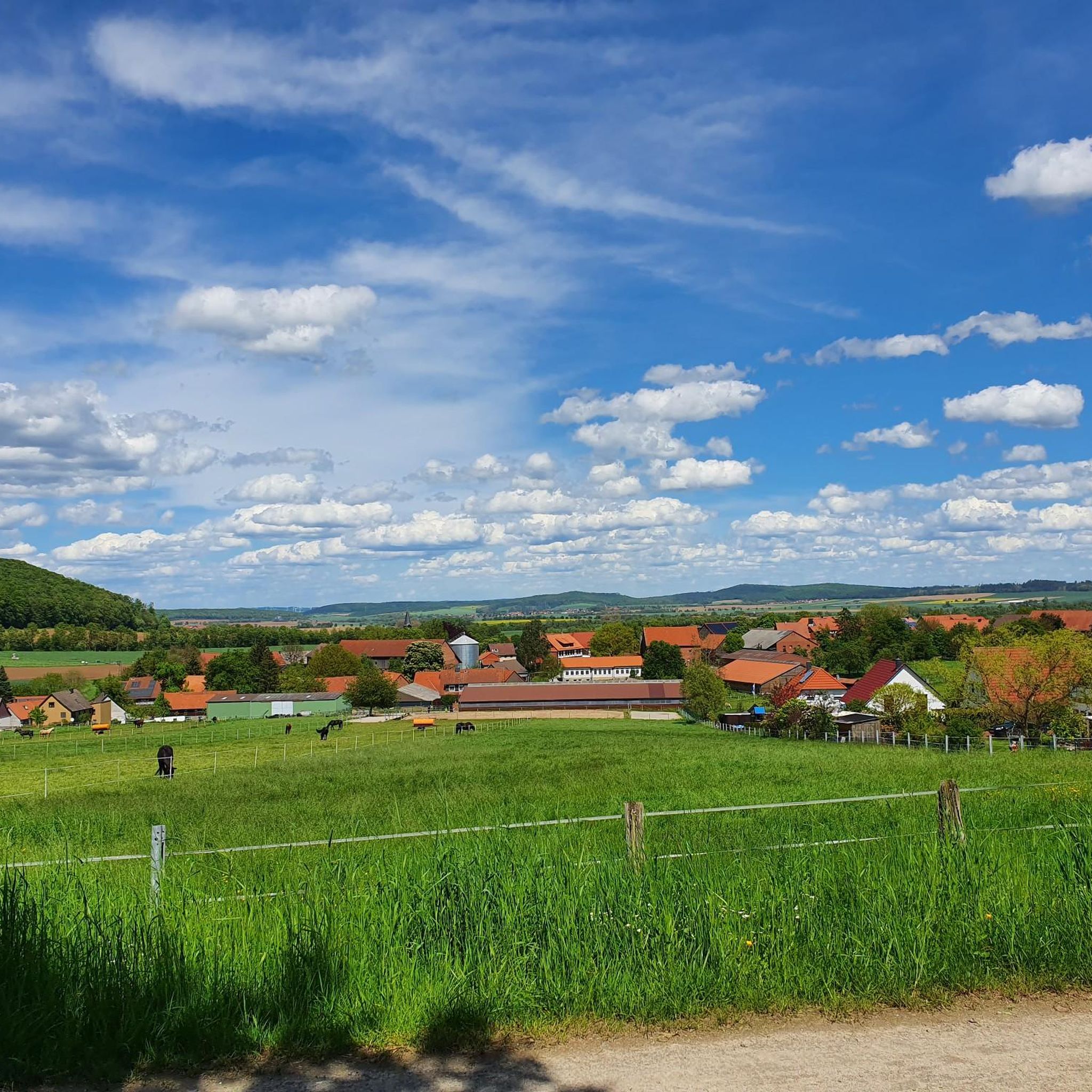
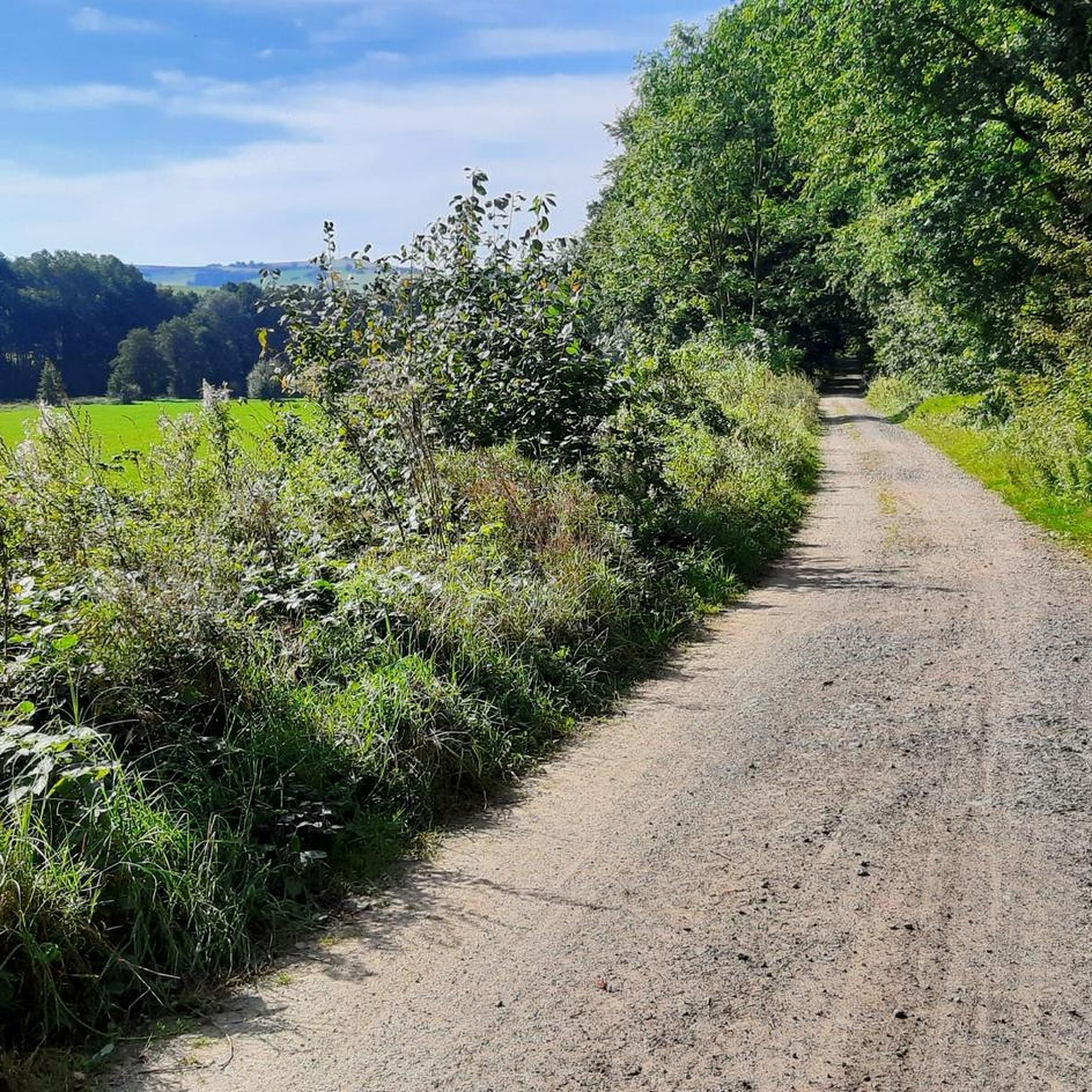
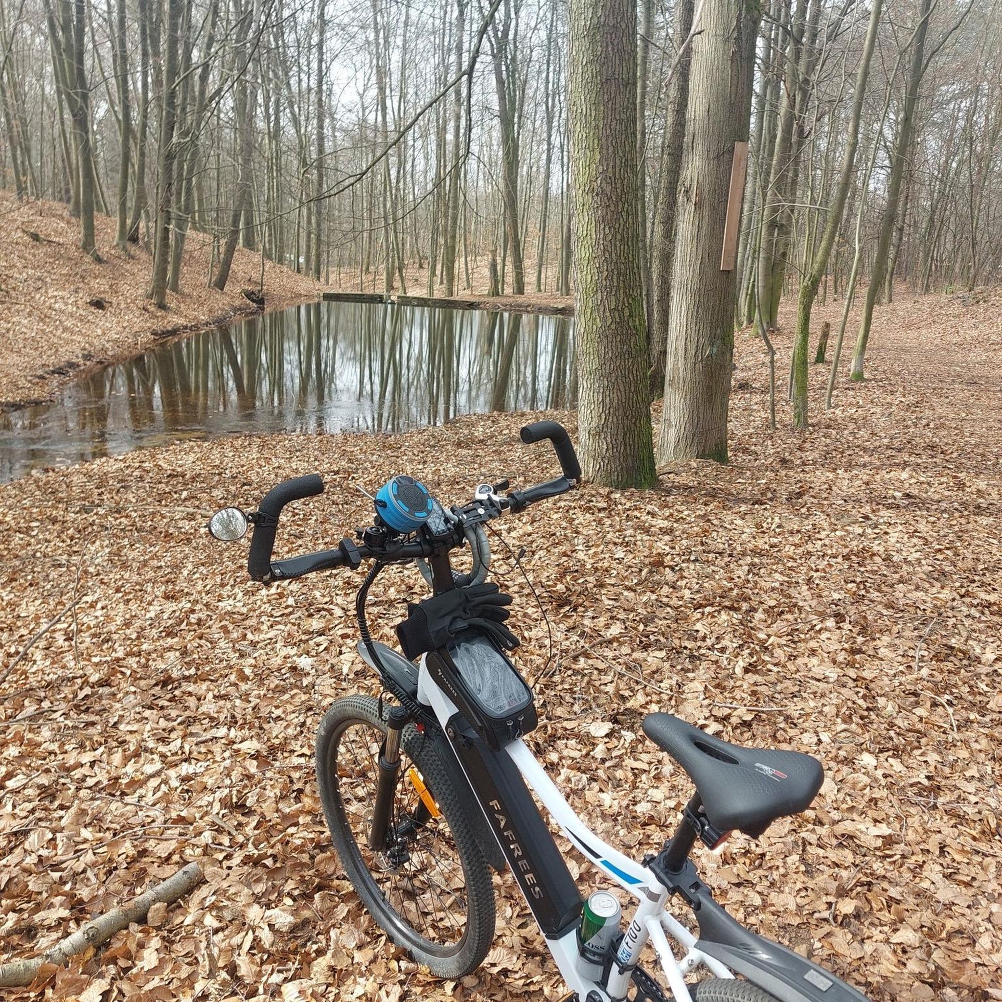
Tips from the Community

Immediately behind the mountain hut, there is already the view of the Innerste reservoir
0
0

Beautiful seating area with a view of the quarry
0
0

There are several viewpoints from which one can enjoy a wonderful view of the Innerste Dam, the Innerste Valley and the surrounding area.
1
1


Magnificent view of the Innerstestausee 🥰.
1
0


a special place to linger
0
0

It's simply beautiful to walk along here.
1
0
Frequently Asked Questions
What types of mountaineering routes can I find in Hahausen?
Hahausen offers a diverse range of mountaineering routes, characterized by forests, water bodies like the Innerste Dam and Grumbach Pond, and gentle elevations. You'll find a mix of terrain suitable for various skill levels, often winding through natural areas and past local points of interest.
Are there easy mountaineering routes suitable for beginners or families in Hahausen?
Yes, Hahausen has several easy mountaineering routes perfect for beginners or families. For instance, the Luchsstein Memorial (Harzer Wandernadel stamp 103) – Öhrenbrunnen Spring loop from Sternplatz is an easy 4.1-mile path that passes by local landmarks. Another accessible option is the Stone and Man Sculpture Trail – Fossecken Shelter loop from Wolfshagen im Harz, a 2.3-mile trail through forested areas.
Are there any challenging mountaineering routes for experienced hikers in Hahausen?
For those seeking a more challenging experience, Hahausen offers routes with significant elevation gain and longer distances. The Innerste Reservoir – Lautenthal Forest Playground loop from Wolfshagen im Harz is a difficult 19.8-mile route with over 790 meters of ascent, providing a demanding and rewarding mountaineering adventure.
Can I find routes that feature waterfalls in Hahausen?
Yes, you can explore routes that include natural water features. The Grumbach Waterfall – Grumbach Pond loop from Lautenthal is a moderate 9.8-mile route that takes you past the scenic Grumbach Waterfall and the tranquil Grumbach Pond.
What interesting sights or landmarks can I see along the mountaineering routes?
Many routes in Hahausen pass by notable landmarks and viewpoints. You can visit the Luchsstein Memorial (Harzer Wandernadel stamp 103), enjoy views from the Diabase Quarry at Wolfshagen (HWN 109), or discover the View of Granetalsperre from Altarklippen (HWN 171). The region also features various huts and shelters like the Tränkebach Hut (HWN 104).
Are the mountaineering routes in Hahausen typically circular?
Many of the mountaineering routes around Hahausen are designed as loops, allowing you to start and end at the same point without needing to retrace your steps. Examples include the Mandolin Trail – Innerste Dam loop from Innerstetalsperre and the Luchsstein Memorial (Harzer Wandernadel stamp 103) – Öhrenbrunnen Spring loop from Sternplatz.
What do other mountaineers say about the routes in Hahausen?
The mountaineering routes in Hahausen are highly regarded by the komoot community, holding an average rating of 4.25 stars from 4 reviews. Visitors often appreciate the varied terrain, the scenic views of the Innerste Dam, and the well-maintained paths that lead through forests and past cultural landmarks.
Is there public transport access to the mountaineering trails in Hahausen?
While specific public transport connections to every trailhead can vary, Hahausen and nearby towns like Wolfshagen im Harz and Lautenthal are generally accessible by regional bus services. It's advisable to check local bus schedules for the most convenient stops near your chosen starting point.
Are there parking facilities available near the trailheads?
Yes, many popular trailheads and starting points for mountaineering routes in the Hahausen area, such as Innerstetalsperre, Sternplatz, and Wolfshagen im Harz, offer designated parking areas for hikers. These are typically well-marked and provide convenient access to the trails.
What is the best time of year for mountaineering in Hahausen?
The best time for mountaineering in Hahausen is generally from spring to autumn (April to October), when the weather is milder and the trails are clear. During these months, you can fully enjoy the lush forests and scenic water bodies. Winter mountaineering is also possible, but requires appropriate gear and caution due to potentially icy or snowy conditions.
Are there any hidden gems or less-known routes to explore in Hahausen?
While the region's routes are well-loved, exploring the broader network around Hahausen can reveal quieter paths. Look for trails that venture deeper into the Harz foothills, away from the main attractions, to discover secluded forest sections and tranquil viewpoints that offer a sense of solitude.
Most popular routes around Hahausen
Most popular attractions around Hahausen

Get inspired with the komoot mobile app


Explore more
Browse the best Mountain Hikes & Routes in other regions.
