The best walks and hikes around Hahausen
4.6
(13759)
46,330
hikers
32
hikes
Hiking around Hahausen offers access to the northwestern edge of Germany's Harz Mountains, a region known for its diverse landscapes. The area features extensive beech and coniferous forests, deep valleys, and gentle mountain meadows. Hikers can experience varied terrain, from lower elevations near the Innerste Dam to higher points offering panoramic views, including the distant Brocken. This location serves as a gateway to a network of well-marked trails within the Harz region.
Best hiking trails around Hahausen
- The most popular…
Last updated: July 10, 2026
4.1
(11)
30
hikers
18.2km
05:22
550m
550m
Hard hike. Very good fitness required. Easily-accessible paths. Suitable for all skill levels.
4.8
(4)
24
hikers
10.1km
03:05
350m
350m
Moderate hike. Good fitness required. Easily-accessible paths. Suitable for all skill levels.

Sign up for free
4.7
(3)
34
hikers
9.10km
02:27
110m
110m
Moderate hike. Good fitness required. Easily-accessible paths. Suitable for all skill levels.
4.0
(12)
67
hikers
9.87km
02:58
320m
320m
Moderate hike. Good fitness required. Easily-accessible paths. Suitable for all skill levels.
4.8
(12)
35
hikers
10.3km
03:06
340m
340m
Moderate hike. Good fitness required. Easily-accessible paths. Suitable for all skill levels.
Get access to more routes and recommendations from other explorers.
Sign up for free
Already have an account?
Our route recommendations are based on thousands of hikes, rides, and runs completed by other people on komoot.
Start today with a free account
Your next adventure awaits.
Login or Signup
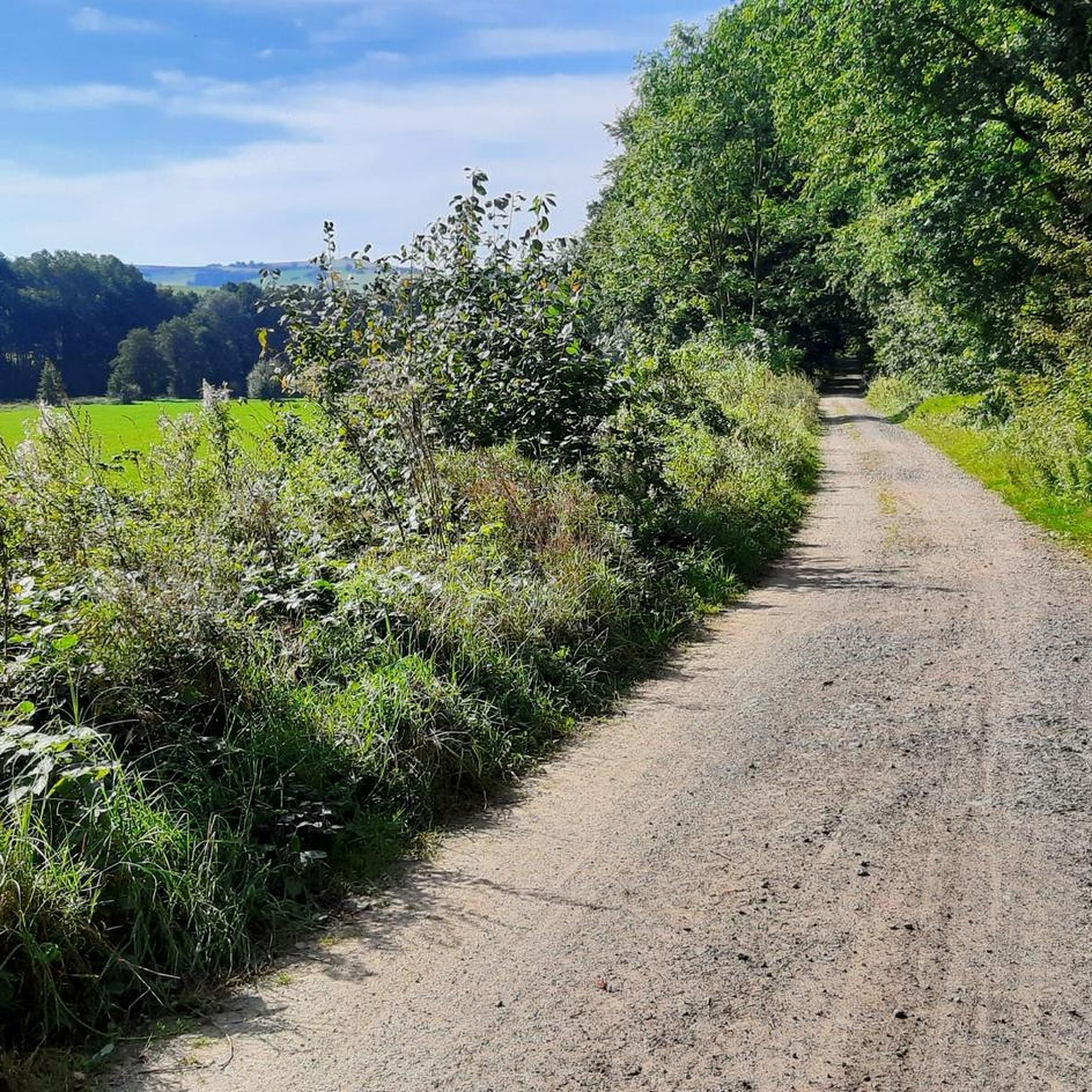
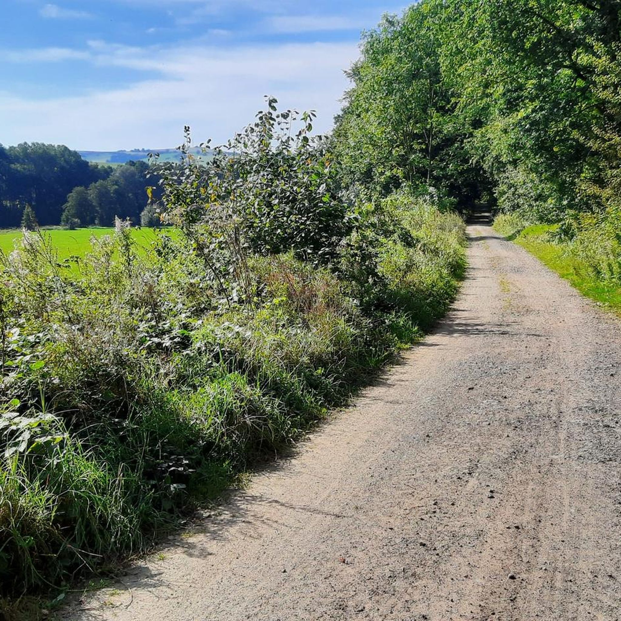
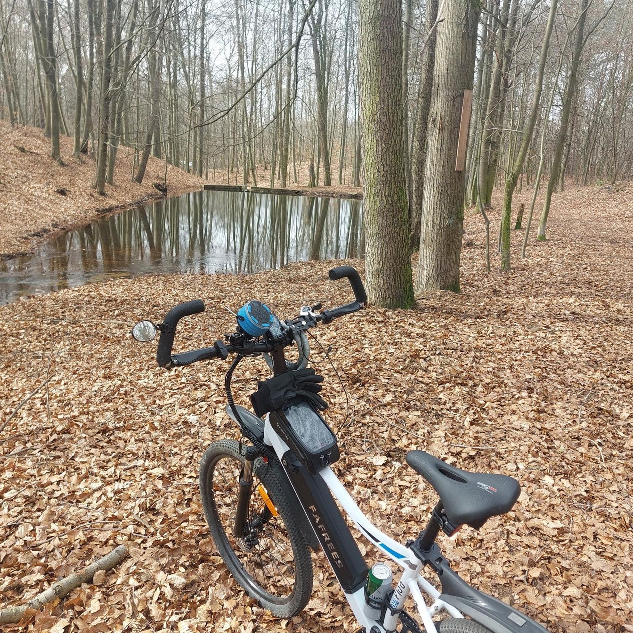
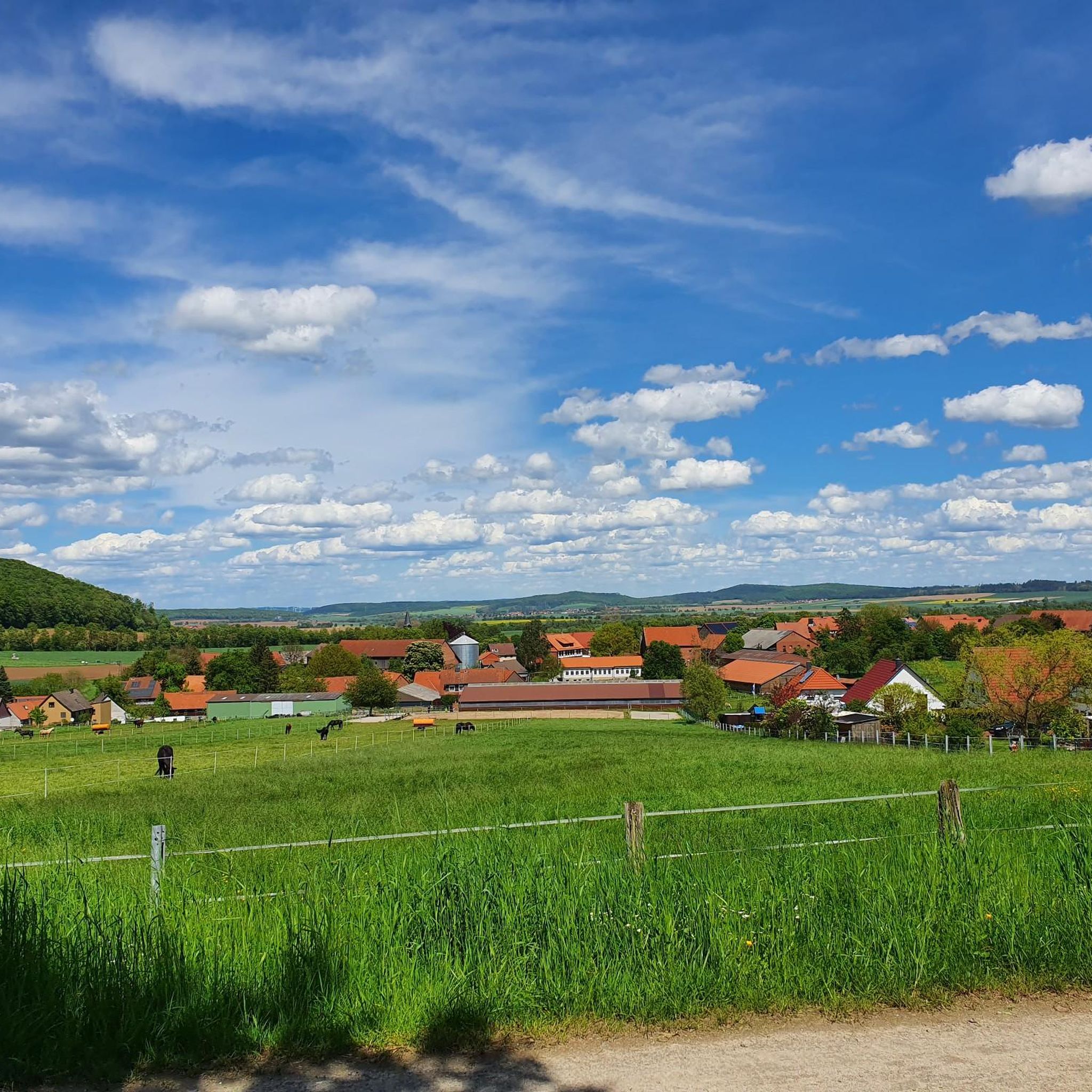

Tips from the Community

Rest area maintained by the Harz Club.
6
0
Only the name of the former mine building remains, but the sealed mine entrance is a reminder of the former iron ore mining operations. A lovely rest area with a spring.
7
0
The Harz Club has built a beautiful cabin here.
5
0
There are still free parking spaces available. Even with tables and benches.
7
0

It's always nice to look out at the water.
0
0

This capercaillie is standing at a spot that connects various forest highways on the ridge. It's not worth driving up here just for the capercaillie. Nobody seems to do that anyway.
0
0

I can only say...wow...you have a view and how, when the weather is right ☺️
0
0

Bathing area yes...but you shouldn't imagine a sandy beach here, it's quite rocky.
1
0
Frequently Asked Questions
How many hiking trails are available around Hahausen?
There are over 30 hiking routes around Hahausen, offering a wide range of experiences. These include 13 easy trails, 15 moderate routes, and 2 more challenging expeditions, ensuring options for all skill levels.
What kind of terrain can I expect when hiking around Hahausen?
Hahausen is situated at the northwestern edge of the Harz Mountains, so you can expect diverse terrain. Trails often lead through extensive beech and coniferous forests, deep valleys, and gentle mountain meadows. Some routes offer panoramic views, including distant glimpses of the Brocken, the highest peak in the Harz.
Are there any family-friendly hiking options in Hahausen?
Yes, Hahausen offers several easy trails suitable for families. For example, the Eisensteinsweg Rest Area – Neiletal Trailhead Parking loop from Hahausen is an easy 3.0-mile (4.8 km) route that winds through woodlands and open areas, typically completed in about 1 hour 25 minutes.
Can I bring my dog on the hiking trails around Hahausen?
Many trails in the Harz Mountains, including those around Hahausen, are dog-friendly. It's generally recommended to keep dogs on a leash, especially in forested areas and near wildlife. Always ensure your dog is well-behaved and that you clean up after them.
Are there any circular hiking routes available?
Yes, many of the trails around Hahausen are designed as circular routes, allowing you to start and end at the same point. A popular moderate option is the Langenberg Forest – Barenberg loop from Hahausen, which is 5.6 miles (9.0 km) long and leads through dense forest landscapes.
What are some notable landmarks or viewpoints to see while hiking?
The region offers several interesting points. You can find viewpoints like the View of the Diabase Quarry at Wolfshagen (HWN 109) or the Maaßener Gaipel – View of Lautenthal & Harzer Wandernadel Stamp 107. The Lageswarte (HWN 102) is also accessible from Hahausen and provides stunning views of Hahausen and the Innerste Dam.
What do other hikers enjoy most about hiking in Hahausen?
The area is highly rated by the komoot community, with an average score of 4.6 stars from over 2,800 reviews. Hikers often praise the diverse landscapes, from dense forests to open meadows, and the well-marked trails that cater to various abilities. The tranquil environment and fresh Harz air are also frequently mentioned.
Are there any challenging hikes for experienced hikers?
Yes, for experienced hikers seeking a challenge, the Innerste Reservoir – Neiletal Trailhead Parking loop from Hahausen is a difficult 11.3-mile (18.2 km) trail. It features significant elevation gain and takes approximately 5 hours 22 minutes to complete.
Is Hahausen part of the Harzer Wandernadel system?
Yes, Hahausen is part of the popular Harzer Wandernadel hiking badge system. A notable stamp-collecting point, the Lageswarte (HWN 102), is accessible from Hahausen. The ascent to the Lageswarte rewards hikers with stunning views.
What is the best time of year to go hiking in Hahausen?
Hahausen offers beautiful hiking experiences throughout the year. Spring brings blooming forests, summer provides lush greenery, and autumn transforms the landscape with vibrant colors. Even in winter, the snow-covered forests can be magical, though some trails might require appropriate gear or be less accessible.
Are there any historical sites to discover on the trails?
Yes, the region around Hahausen holds historical significance. You might encounter remnants from the Thirty Years' War, including monuments, old rifle trenches, and mills, which can add an interesting historical dimension to your walks.
Are there places to rest or find shelter along the routes?
Yes, you can find huts and shelters in the area. For example, the Tränkebach Hut (HWN 104) and the Kalte Birke Shelter are available for hikers seeking a break or protection from the weather.
Most popular routes around Hahausen
Most popular attractions around Hahausen

Get inspired with the komoot mobile app


Explore more
Browse the best Hikes in other regions.
