The best mountain hikes in Landkreis Erlangen-Höchstadt
4.0
(1)
10
hikers
5
hikes
Mountaineering routes in Landkreis Erlangen-Höchstadt are primarily focused on rock climbing within the Franconian Switzerland region, which extends into the district. The landscape features diverse natural regions, including the forested Steigerwald in the west and parts of the Northern Franconian Alb in the east. The Regnitz River Valley and Aischgrund contribute to a varied topography, offering extensive trail networks for exploration. This blend of limestone formations, river valleys, and dense woodlands provides a range of opportunities for outdoor enthusiasts.
Best…
Last updated: July 6, 2026
4.0
(1)
4
hikers
16.3km
04:38
350m
350m
Moderate mountaineering route. Good fitness required. Mostly accessible paths. Sure-footedness required.
2
hikers
3.74km
00:57
10m
10m
Easy mountaineering route. Great for any fitness level. Easily-accessible paths. Suitable for all skill levels.

Sign up for free
1
hikers
4.91km
01:15
10m
20m
Easy mountaineering route. Great for any fitness level. Easily-accessible paths. Suitable for all skill levels.
1
hikers
5.39km
01:38
180m
180m
Easy mountaineering route. Great for any fitness level. Easily-accessible paths. Suitable for all skill levels.
1
hikers
14.8km
03:57
170m
170m
Moderate mountaineering route. Good fitness required. Easily-accessible paths. Suitable for all skill levels.
1
hikers
Moderate mountaineering route. Good fitness required. Easily-accessible paths. Suitable for all skill levels.
Our route recommendations are based on thousands of hikes, rides, and runs completed by other people on komoot.
Start today with a free account
Your next adventure awaits.
Login or Signup
Popular around Landkreis Erlangen-Höchstadt
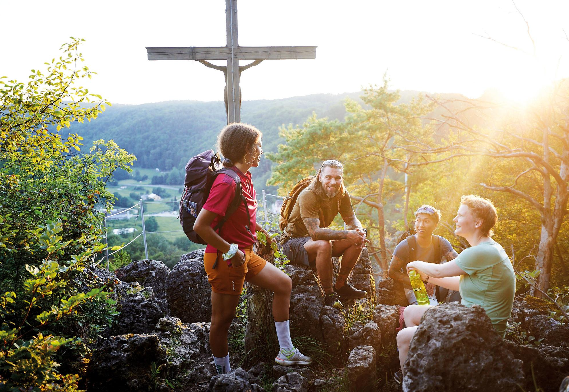
City, country, lake – VGN leisure tips 2025
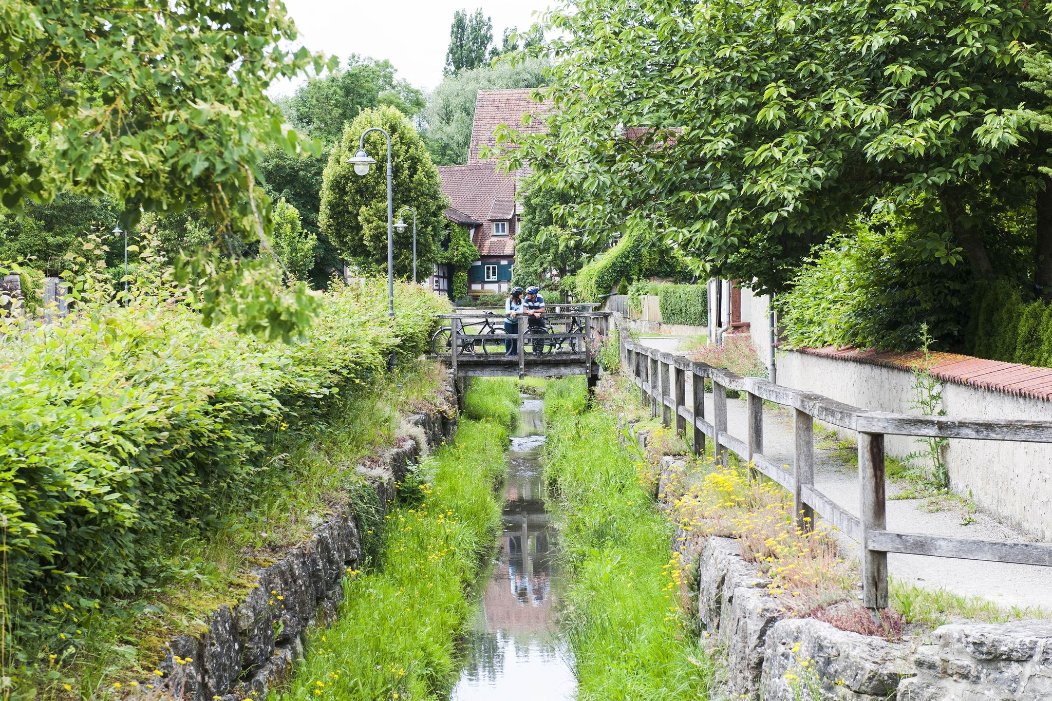
Fun, nature and culture – discover Franconia by bike
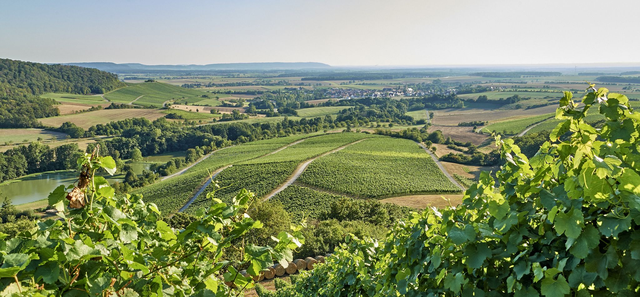
Vineyards, forests and ponds – cycling in the Steigerwald in Germany

Culinary delights on the road – VGN Pleasure Tours
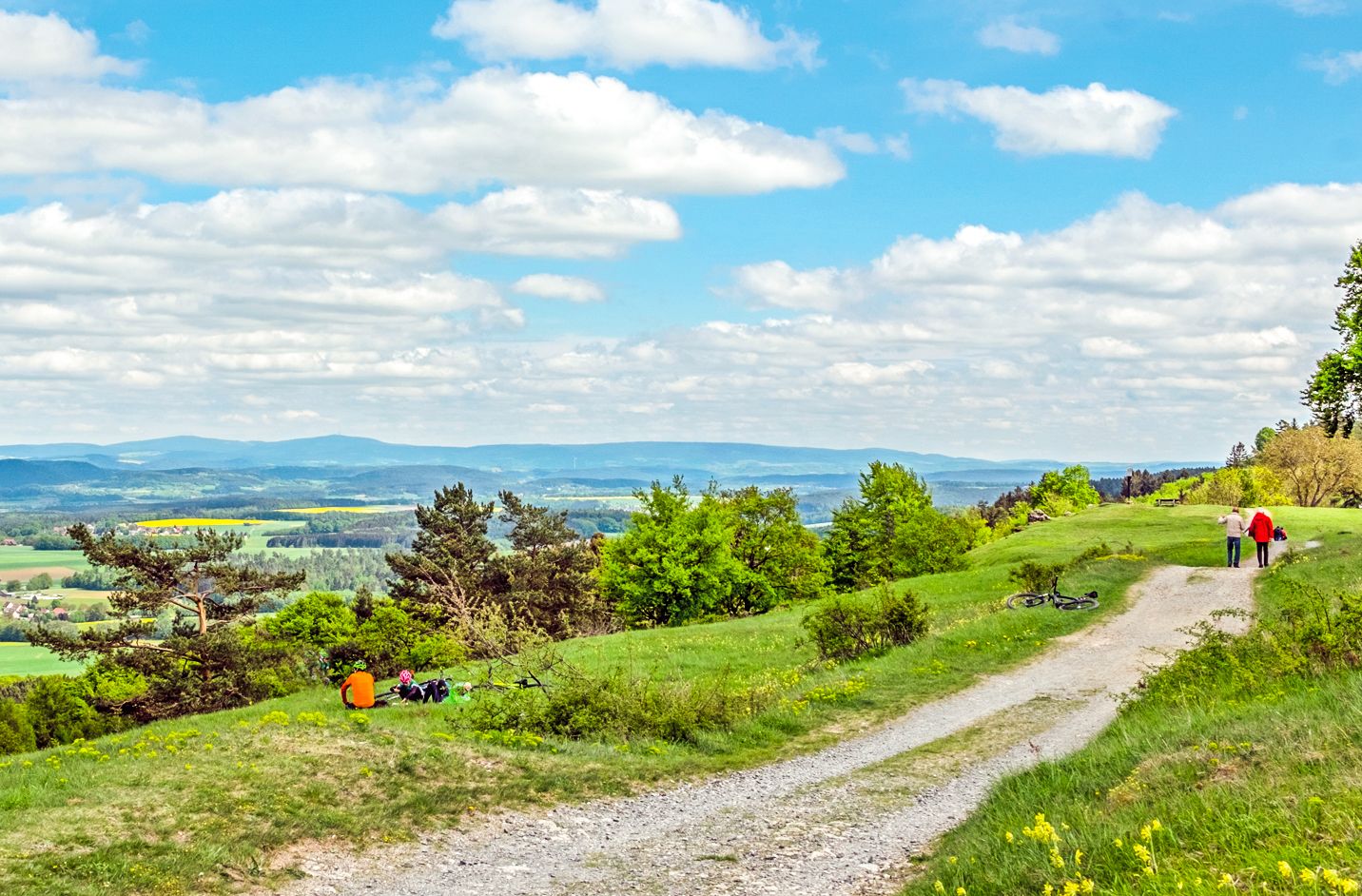
Ponds, woods and hills – the VGN recreational activities
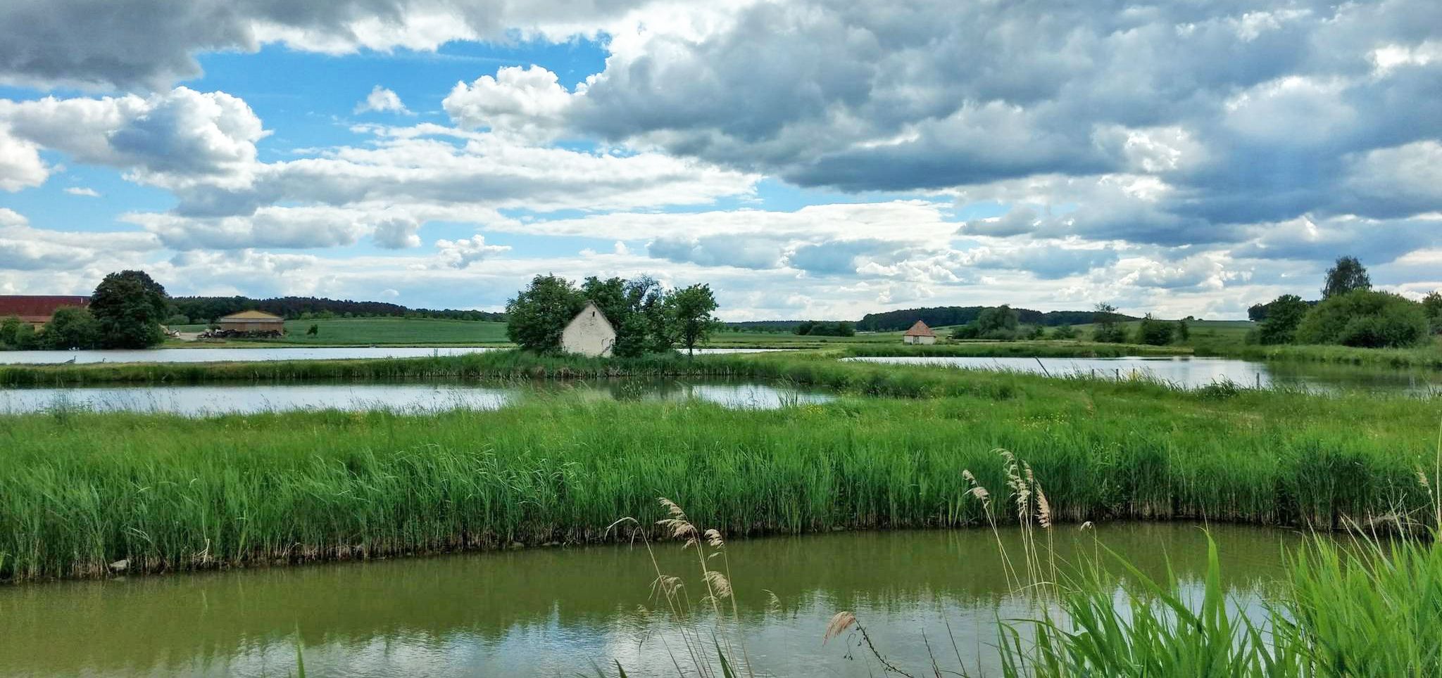
On the Aisch valley cycle path 3 days through Franconia
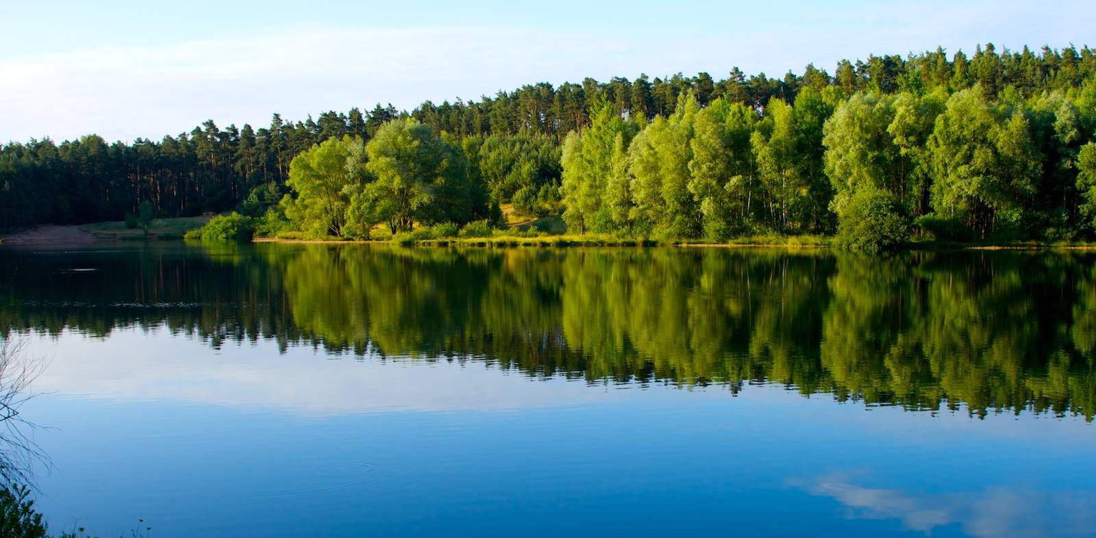
The most beautiful swimming lakes around Nuremberg
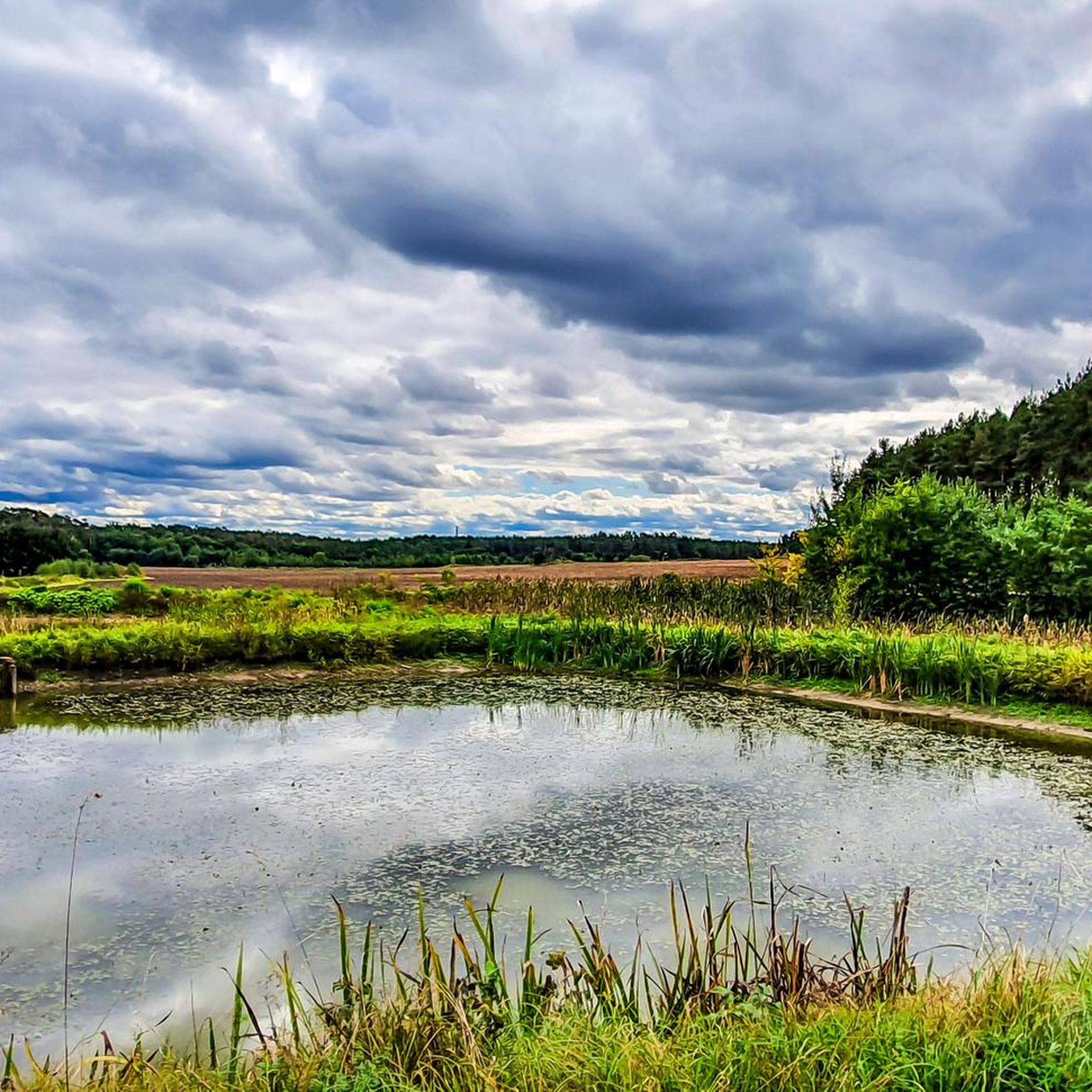
Hiking in Landkreis Erlangen-Höchstadt
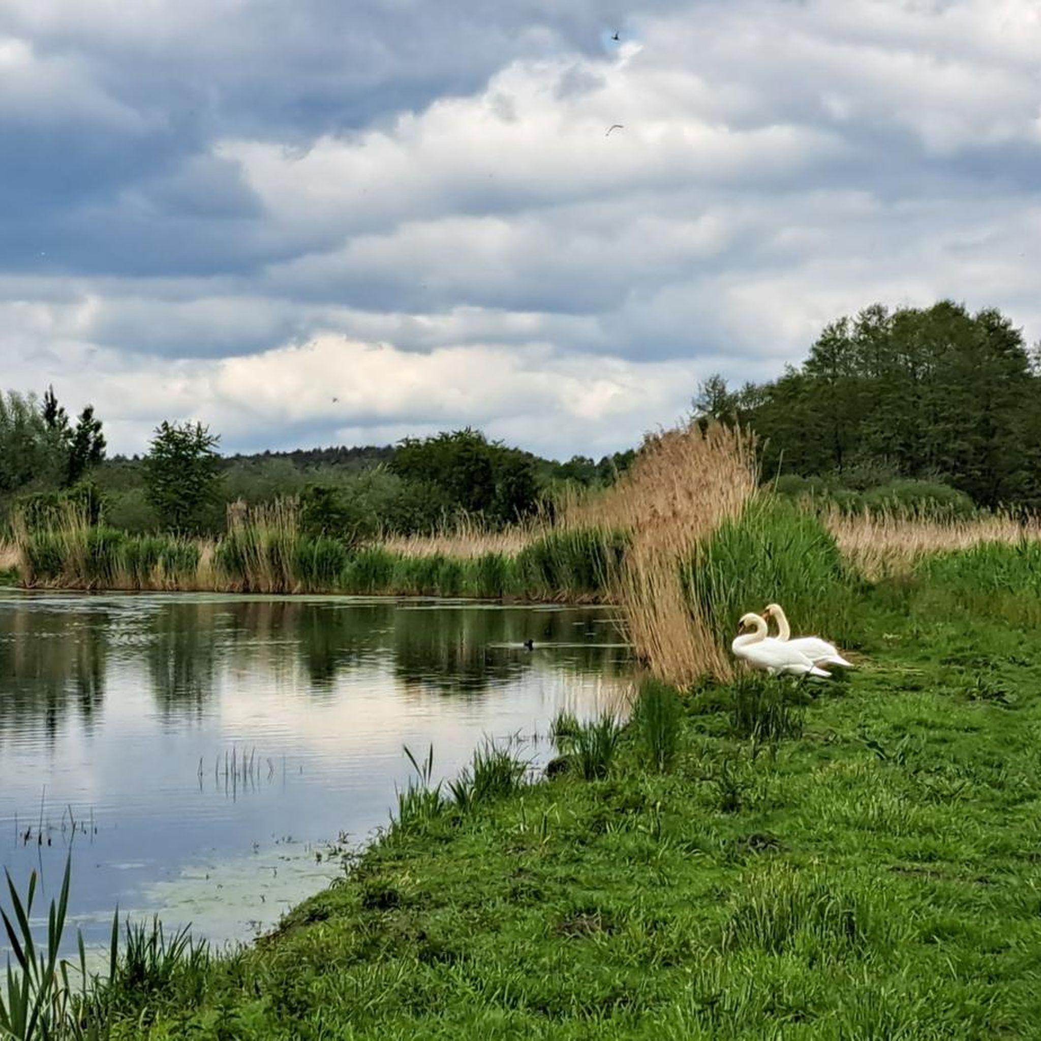
Road Cycling Routes in Landkreis Erlangen-Höchstadt
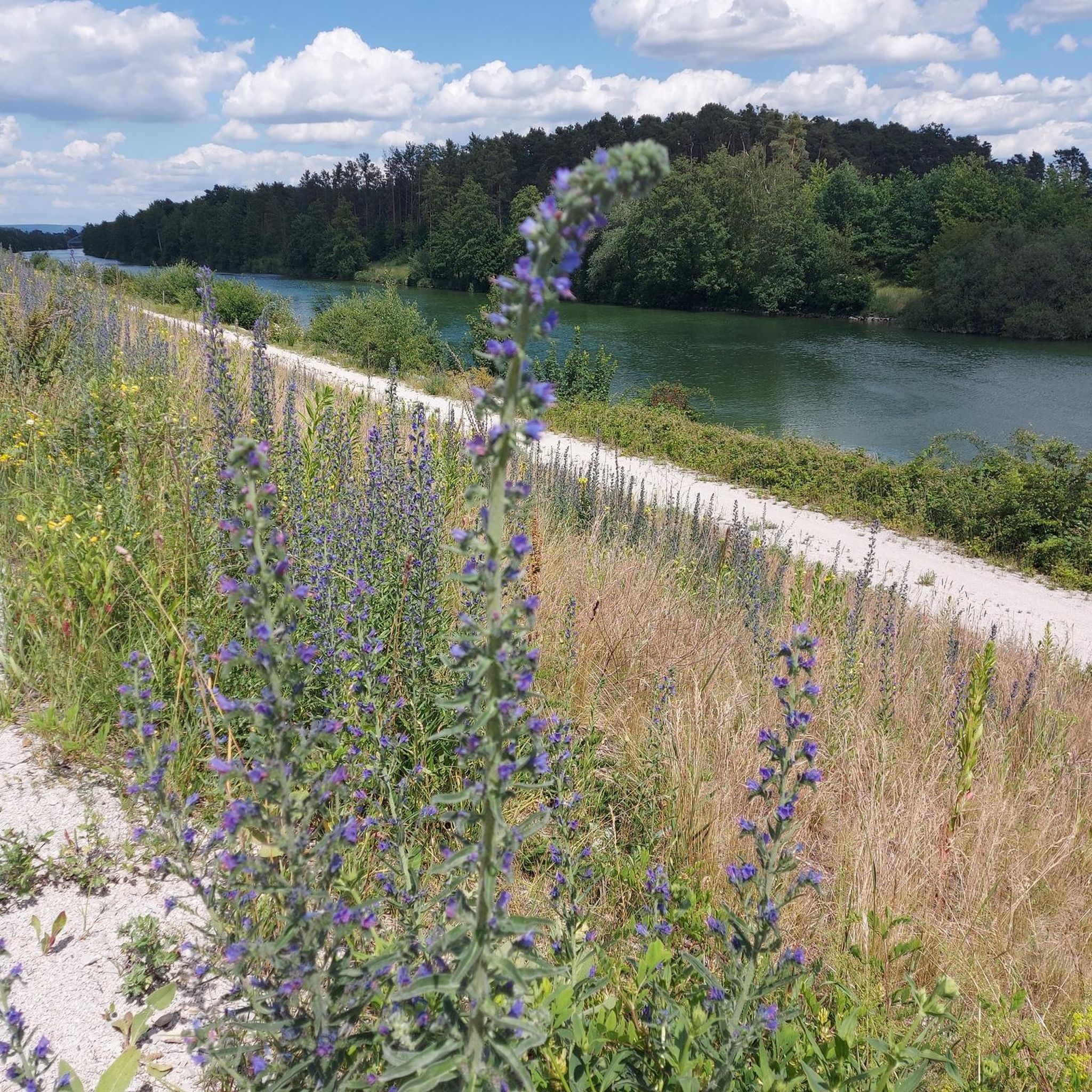
Cycling in Landkreis Erlangen-Höchstadt
Other adventures in Landkreis Erlangen-Höchstadt


Tips from the Community

If the weather cooperates…
0
0

Along the Aurach Trail you'll pass several historic mills, like the Schauerberg Mill shown here. If you follow the path towards Kotzenaurach, you can also visit the Finken Mill and the Holz Mill.
0
0

The remains of a Baroque monastery complex in the center of Weißenohe can be seen from afar. The recently renovated monastery church of St. Boniface towers over the village with its 45-meter-high tower. The monastery can look back on a turbulent history. Due to its geographical location – Weißenohe and its monastery belonged to the "Upper Palatinate" for almost its entire 750-year existence – it protruded like an alien body into the territory of the "Free Imperial City of Nuremberg." At times, it was even completely separated from the Upper Palatinate. Nuremberg therefore left no stone unturned to assert its mostly unjustified claims over the centuries. The clergy, especially the Bishop of Bamberg, also repeatedly attempted to exert their influence, including in secular terms. Construction of the present monastery church began in 1692. The plans were drawn up by Wolfgang Dietzenhofer (1648–1706), a member of the famous Upper Bavarian family of master builders. On St. Boniface's Day in 1707, the church was solemnly consecrated by Bamberg's Auxiliary Bishop Johann Werner Schnatz. Source: https://www.weissenohe.de/klosterkirche/
1
0
The recently renovated monastery church of St. Boniface towers over the town with its 45-meter-high tower. The monastery can look back on a turbulent history.
1
0

Cycling along the roads and paths along the Aurach is recommended.
0
0

Listed late medieval stone crosses https://de.wikipedia.org/wiki/Liste_der_Steinkreuze_im_Landkreis_Neustadt_an_der_Aisch-Bad_Windsheim
0
0

A beautiful town, this Gräfenberg.
2
0

Great market square with all the shops you need, a cafe, a fountain and various half-timbered houses
0
0
Frequently Asked Questions
What kind of mountaineering can I expect in Landkreis Erlangen-Höchstadt?
While traditional high-altitude mountaineering isn't typical, Landkreis Erlangen-Höchstadt is a notable destination for rock climbing, especially within the Franconian Switzerland region. The area offers a variety of routes for different skill levels, focusing on sport climbing. Beyond climbing, the region's diverse topography, including the Steigerwald forest and parts of the Northern Franconian Alb, provides extensive trail networks for challenging hikes.
Are there any easy mountaineering routes suitable for beginners?
Yes, there are several easier options. For a gentle introduction, consider the Großer Bischofsweiher loop from Dechsendorf, which is just under 4 km with minimal elevation gain. Another accessible choice is the Little Dutzend Pond – Shallow Pond loop from Max-Morlock-Stadion, offering a pleasant 4.9 km walk around scenic ponds.
Which routes offer a more challenging mountaineering experience?
For those seeking a more demanding adventure, the Lillach Spring – Three Peaks of Großenohe loop from Gräfenberg is a difficult 19.3 km path that explores natural springs and offers views from multiple peaks. Another challenging option is the Community Weißenohe – Gräfenberg Old Town loop from Weißenohe, a moderate 16.2 km trail with significant elevation gain through varied terrain.
Are there any circular mountaineering routes in the region?
Many of the routes in Landkreis Erlangen-Höchstadt are designed as loops, allowing you to start and end at the same point. Examples include the Walberla – Cave at the Steinerne Frau loop from Leutenbach, a scenic 5.4 km trail, and the Moritzberg Mountain Inn – Root Path to Moritzberg loop from Renzenhof, which covers about 8.1 km.
What natural features or landmarks can I see along the mountaineering routes?
The region is rich in natural beauty. You can explore unique geological formations like the Teufelstisch Rock Formation or the Sand Dune in Tiefgraben und Kohlbuck. The area also features picturesque gorges such as the Teufelsbadstube Gorge and the Indian Gorge. The Regnitz River Valley and Aischgrund offer idyllic river landscapes and pond areas, including the significant bird sanctuary at Vogelfreistätte Weihergebiet bei Mohrhof.
Is Landkreis Erlangen-Höchstadt suitable for family-friendly mountaineering?
Yes, the region offers routes that are suitable for families, particularly those looking for easier hikes. The diverse landscape with its forests and river valleys provides engaging environments for children. Consider the shorter, less strenuous loop trails like the Großer Bischofsweiher loop from Dechsendorf, which are perfect for a family outing.
What is the best season for mountaineering in Landkreis Erlangen-Höchstadt?
The region is enjoyable for mountaineering throughout much of the year. Spring and autumn offer pleasant temperatures and vibrant scenery, with spring bringing blooming nature and autumn showcasing colorful foliage. Summer is also popular, though it can be warmer, while winter can offer a different, quieter experience, especially in forested areas, provided conditions are safe for hiking.
Are there any routes that are less crowded?
While specific crowd levels can vary, exploring routes slightly off the most popular paths or visiting during off-peak times (weekdays, early mornings) can offer a more tranquil experience. The district's extensive network of trails, including those in the Steigerwald and around the various nature reserves like Tennenloher Forst, provides ample opportunities to find quieter spots away from the main hubs.
What are the options for parking and public transport near the mountaineering trails?
Many trailheads in Landkreis Erlangen-Höchstadt offer parking facilities, especially near popular starting points for routes. For public transport, the Regnitz River Valley is well-connected, and some villages that serve as trail starting points may have bus or train access. It's advisable to check specific route descriptions or local transport schedules for the most accurate information regarding access to your chosen trail.
What do other mountaineers say about the routes in Landkreis Erlangen-Höchstadt?
The mountaineering routes in Landkreis Erlangen-Höchstadt are highly regarded by the komoot community, holding an average score of 4.0 stars from reviewers. Users often praise the varied terrain, the scenic beauty of Franconian Switzerland's limestone formations, and the peaceful experience of hiking through dense forests and picturesque river valleys.
Can I find places to eat or stay near the mountaineering routes?
Yes, the region has various options for refreshments and accommodation. Towns and villages throughout Landkreis Erlangen-Höchstadt, particularly those near popular hiking areas or within the Aischgrund, offer cafes, pubs, and guesthouses. For example, routes like the Moritzberg Mountain Inn – Root Path to Moritzberg loop from Renzenhof directly incorporate a mountain inn, providing convenient stops for food and drink.
Most popular routes in Landkreis Erlangen-Höchstadt
Most popular attractions in Landkreis Erlangen-Höchstadt

Get inspired with the komoot mobile app


Explore more
Browse the best Mountain Hikes & Routes in other regions.
