The best gravel rides in Landkreis Erlangen-Höchstadt
4.5
(219)
1,015
riders
183
rides
Gravel biking in Landkreis Erlangen-Höchstadt offers diverse terrain across its varied landscape. The region features relatively flat routes along the Main-Donau Canal and Regnitz River, alongside extensive forest and field paths. Areas like the Tennenloher Forst provide sandy habitats and steppe-like sections, while the Aischgrund region is known for its pond landscapes and woodlands. The eastern parts border Franconian Switzerland, introducing gentle inclines and elevated sections suitable for gravel bikes.
Best gravel bike trails in Landkreis Erlangen-Höchstadt
- The most popular…
Last updated: September 2, 2026
5.0
(2)
10
riders
Moderate gravel ride. Good fitness required. Mostly paved surfaces. Suitable for all skill levels.
4.2
(12)
48
riders
25.4km
01:19
110m
110m
Easy gravel ride. Great for any fitness level. Mostly paved surfaces. Suitable for all skill levels.

Sign up for free
4.9
(9)
64
riders
55.6km
02:50
290m
290m
Moderate gravel ride. Good fitness required. Mostly paved surfaces. Suitable for all skill levels.
4.9
(7)
21
riders
32.7km
01:43
200m
200m
Moderate gravel ride. Good fitness required. Mostly paved surfaces. Suitable for all skill levels.
4.2
(11)
27
riders
31.0km
01:34
150m
150m
Easy gravel ride. Great for any fitness level. Mostly paved surfaces. Suitable for all skill levels.
4.5
(2)
47
riders
47.6km
02:31
260m
260m
Moderate gravel ride. Good fitness required. Mostly paved surfaces. Suitable for all skill levels.
4.0
(2)
10
riders
Moderate gravel ride. Good fitness required. Mostly paved surfaces. Suitable for all skill levels.
4.5
(6)
23
riders
28.3km
01:30
170m
170m
Moderate gravel ride. Good fitness required. Mostly paved surfaces. Suitable for all skill levels.
3.8
(4)
12
riders
21.4km
01:07
130m
130m
Easy gravel ride. Great for any fitness level. Mostly paved surfaces. Suitable for all skill levels.
4.5
(4)
13
riders
30.0km
01:54
250m
250m
Moderate gravel ride. Good fitness required. Mostly paved surfaces. Suitable for all skill levels.
Get access to more routes and recommendations from other explorers.
Sign up for free
Already have an account?
Our route recommendations are based on thousands of hikes, rides, and runs completed by other people on komoot.
Start today with a free account
Your next adventure awaits.
Login or Signup
Popular around Landkreis Erlangen-Höchstadt
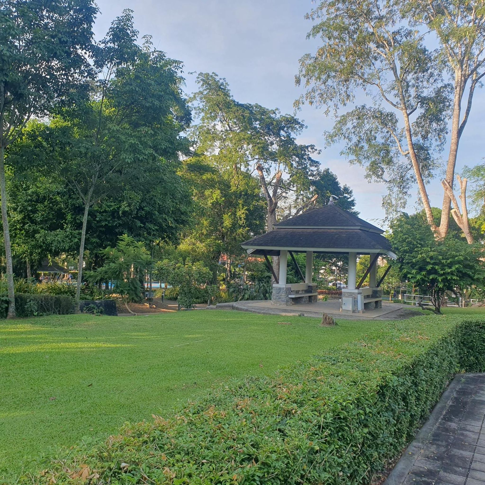
Gravel biking around Bubenreuth
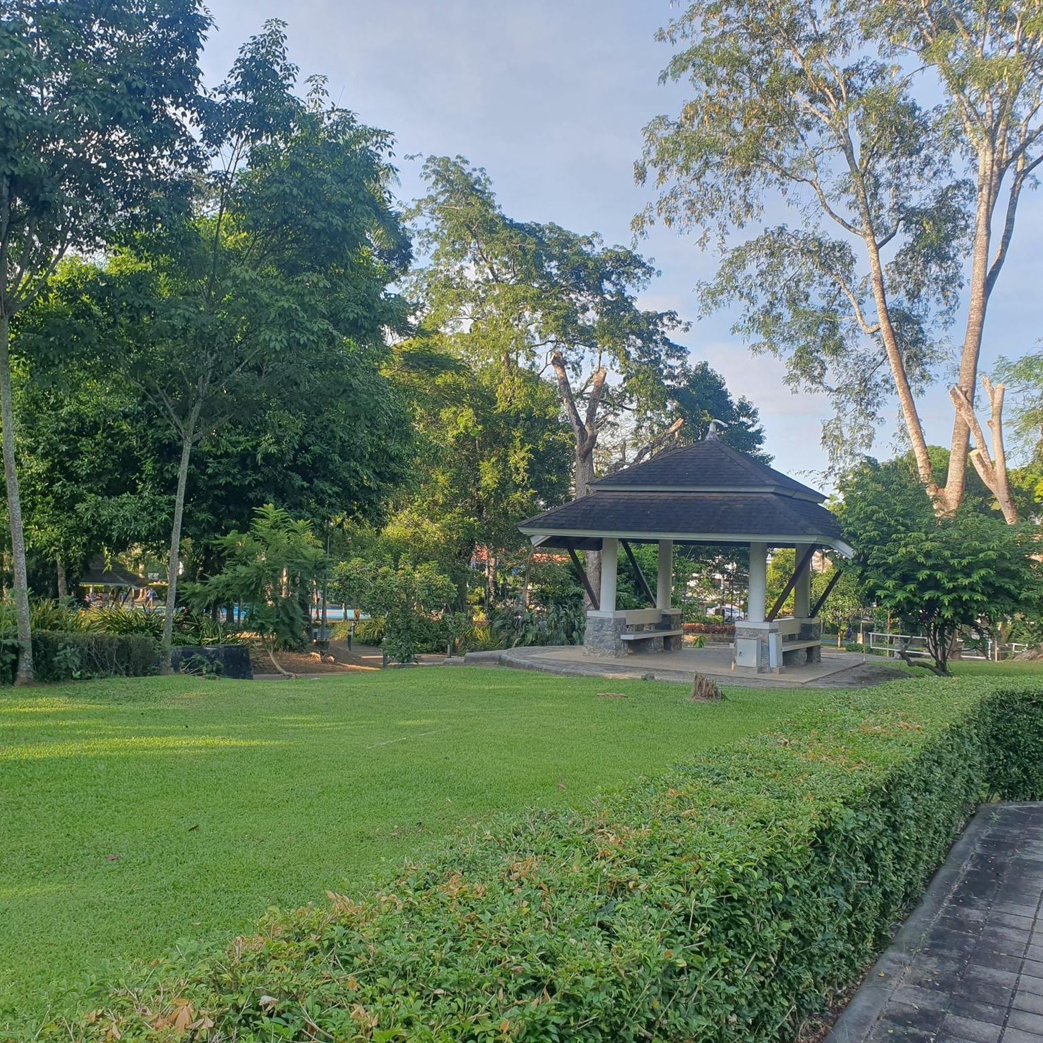
Gravel biking around Erlenstegener Forst
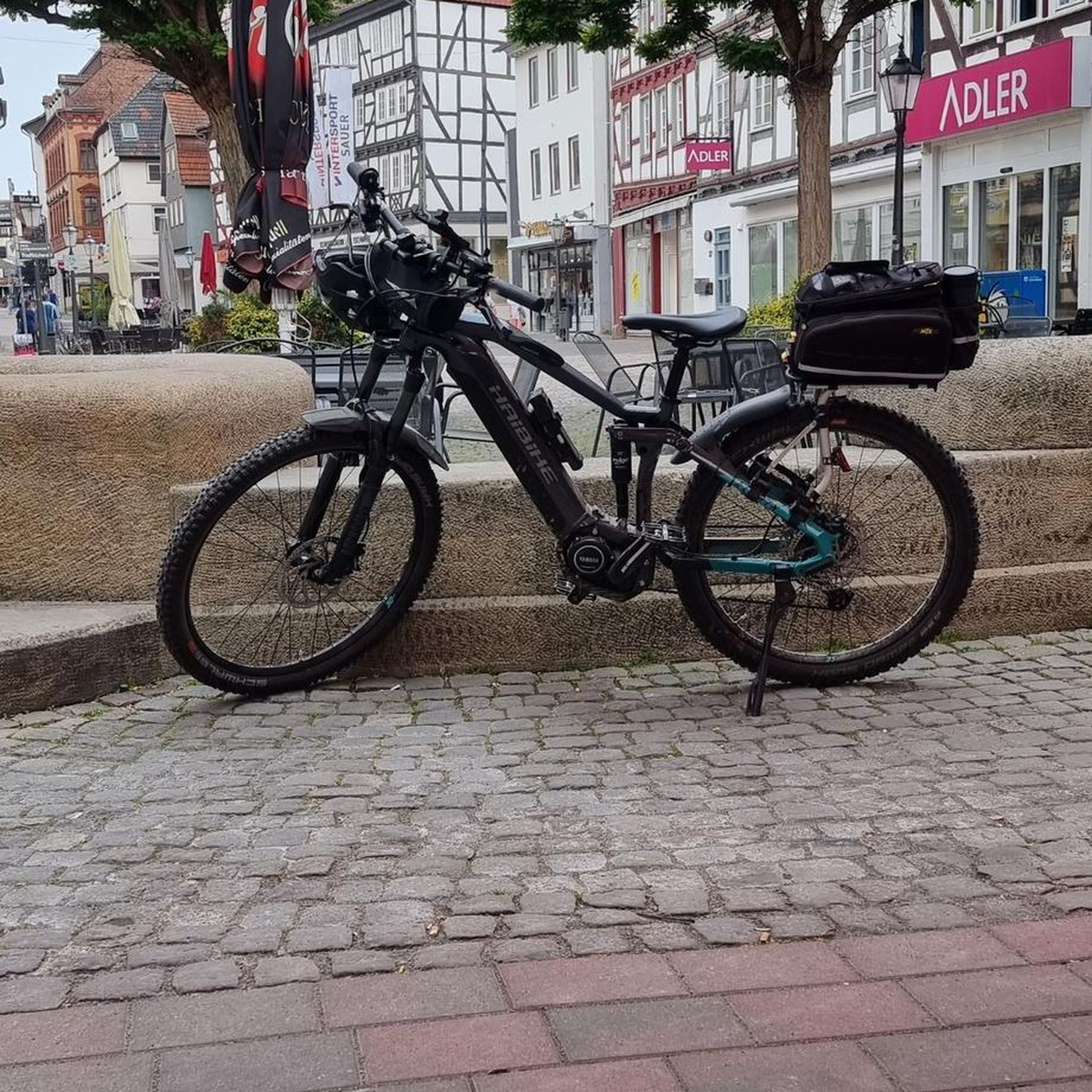
Gravel biking around Tennenloher Forest
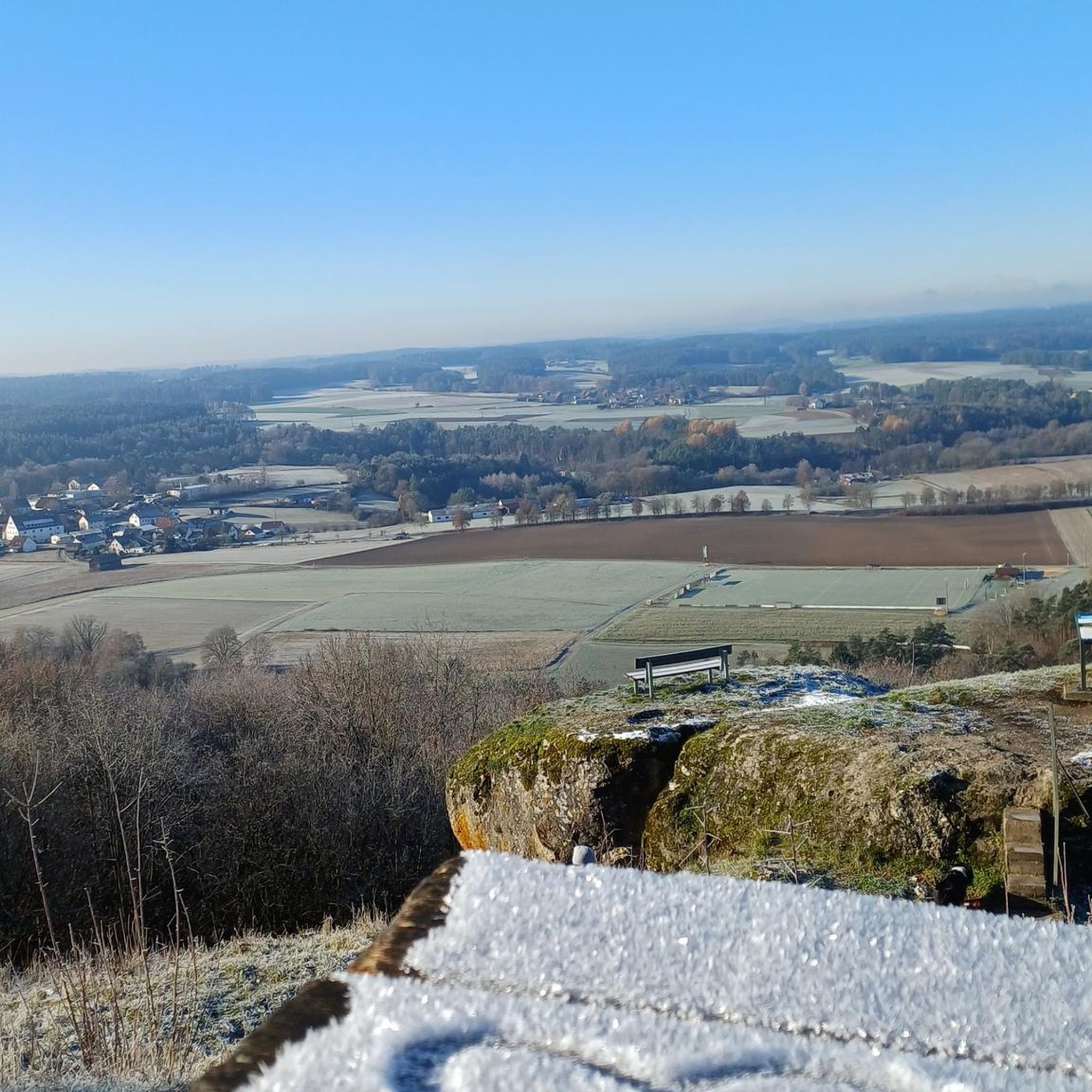
Gravel biking around Adelsdorf
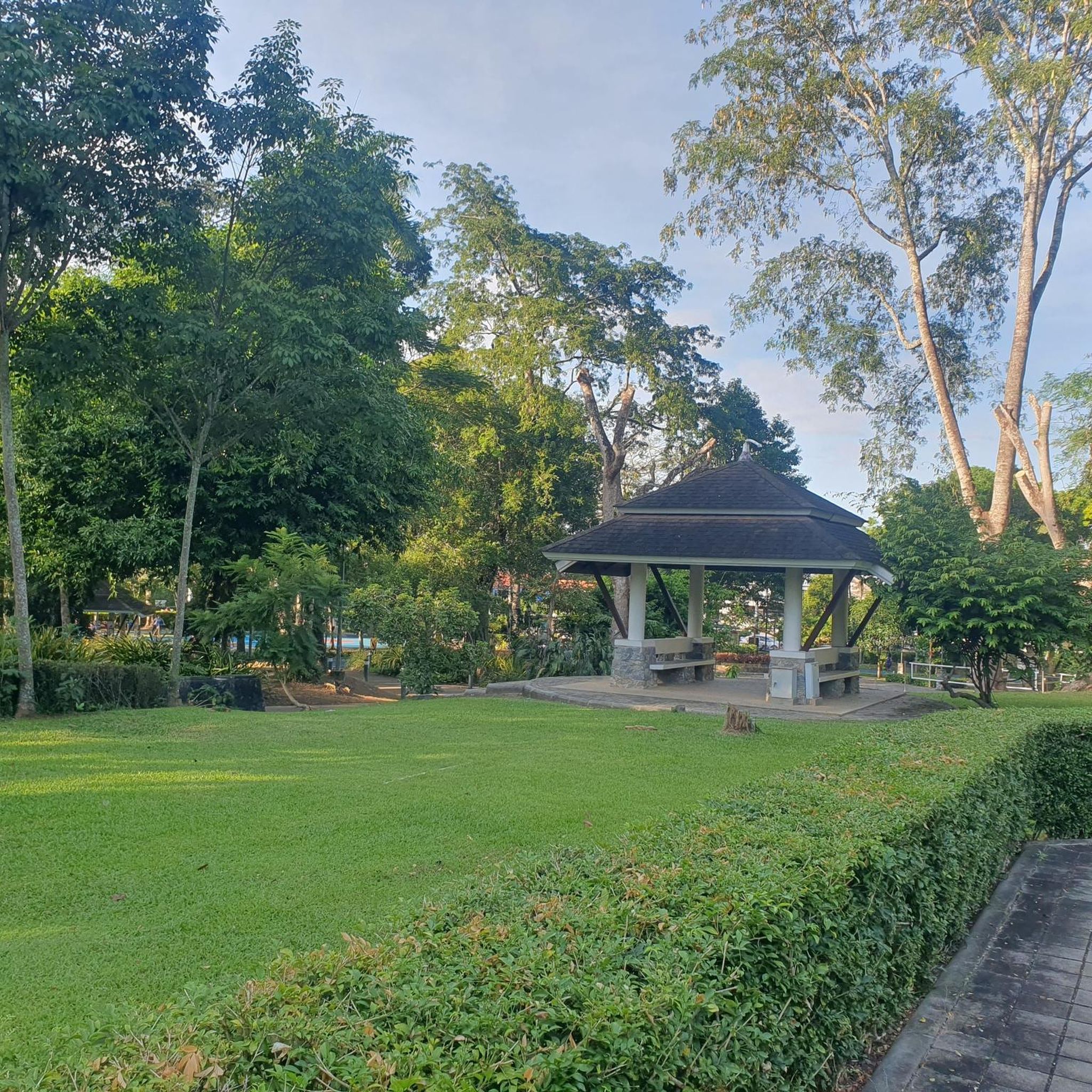
Gravel biking around Kraftshofer Forst
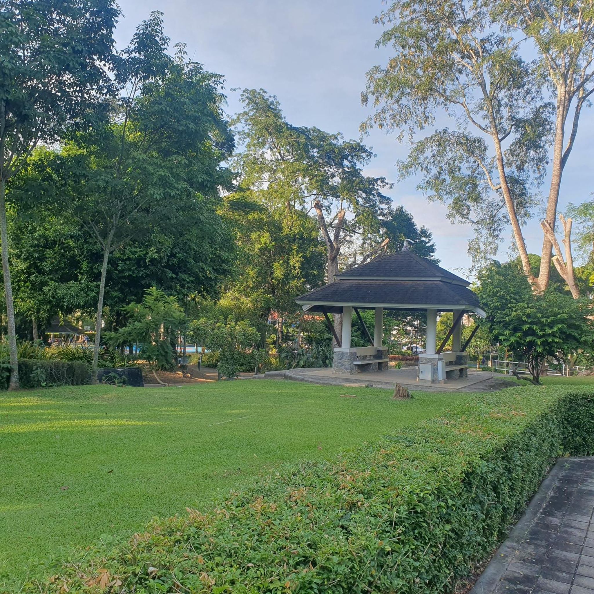
Gravel biking around Eckental
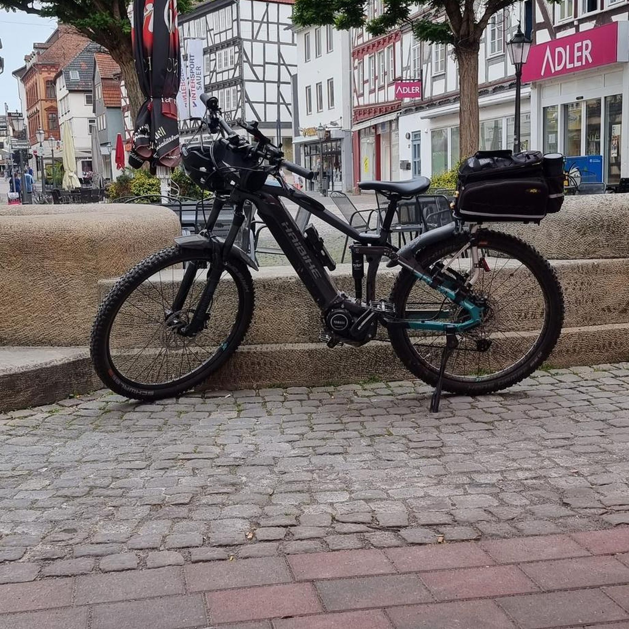
Gravel biking around Buckenhof
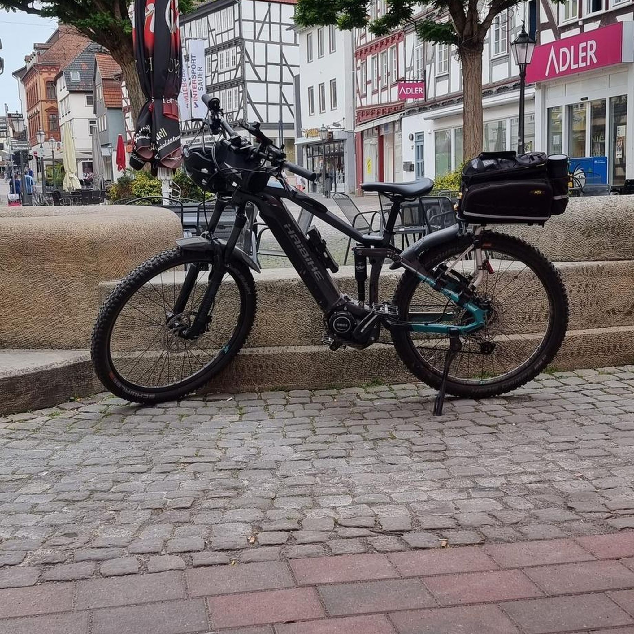
Gravel biking around Buckenhofer Forst
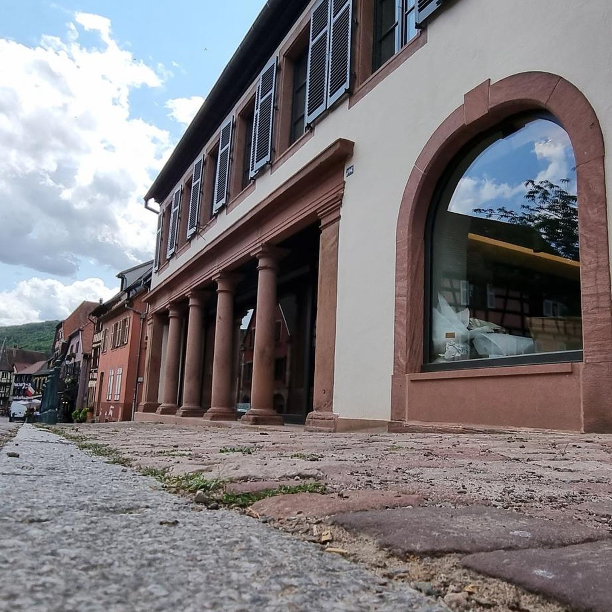
Gravel biking around Neunhofer Forst
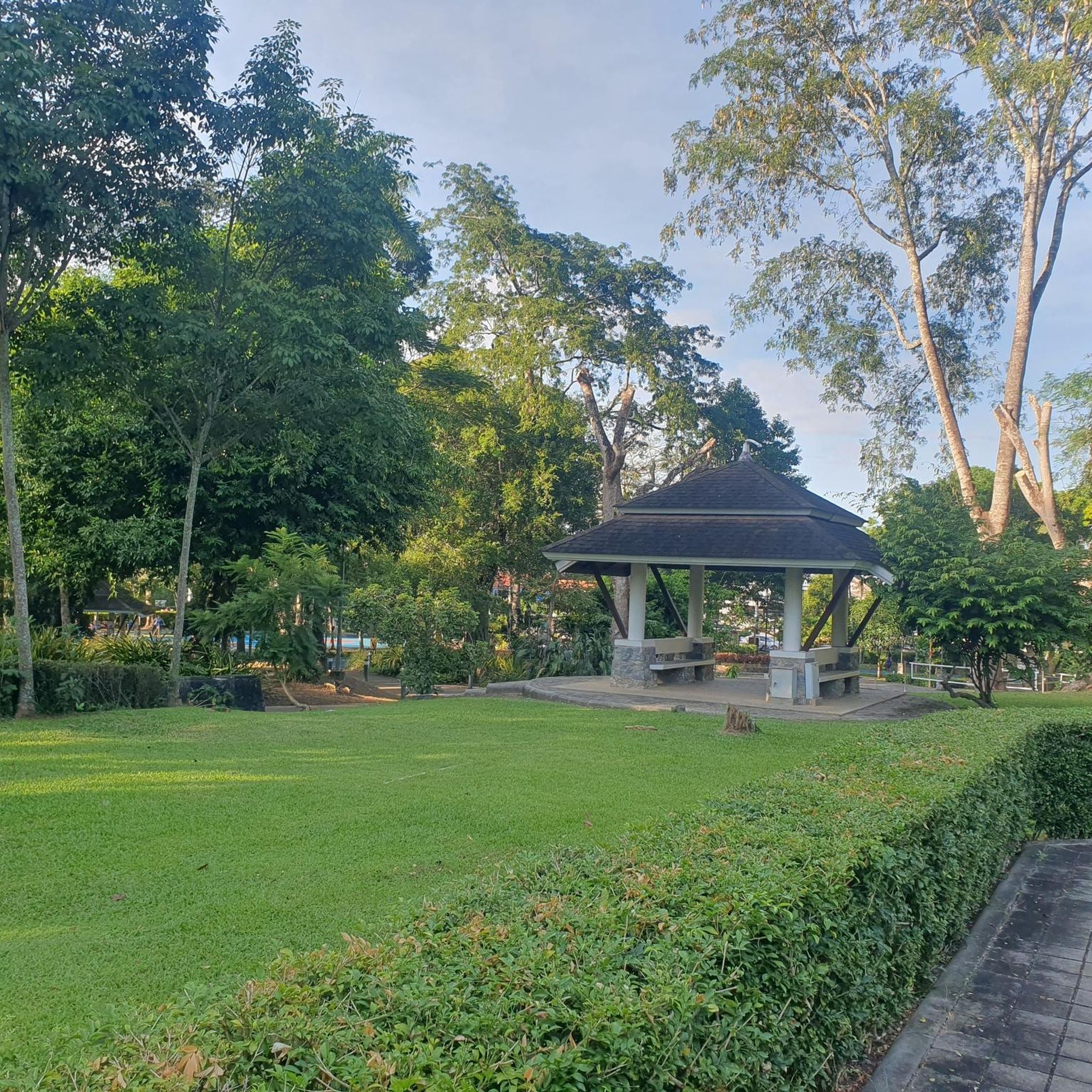
Gravel biking around Dormitzer Forst
Other adventures in Landkreis Erlangen-Höchstadt


Tips from the Community

In autumn, watch out for leaves/branches
0
0

It is also suitable for Stand Up Paddling.
0
0

Beautiful area for hiking and walking
0
0

Partially very deep sand/gravel passages. But very beautiful landscape.
0
0

Narrow bridge near Seußling (Altendorf) over the Regnitz river.
1
0

@Engelbertson: ...yes that's true, but the Yanks have been gone for a long time too :) But you can still see the bunker facilities through the fence.
0
0


Beautiful cycle path uphill to the rock cellar in Kalchreuth, on the right-hand side opposite the sports field.
0
0
Frequently Asked Questions
How many gravel bike trails are available in Landkreis Erlangen-Höchstadt?
Landkreis Erlangen-Höchstadt offers a wide selection of gravel bike trails, with over 300 routes recorded on komoot. These routes cater to various skill levels, including easy, moderate, and difficult options.
What kind of terrain can I expect on gravel bike trails in Landkreis Erlangen-Höchstadt?
The region provides diverse terrain, perfect for gravel biking. You'll find relatively flat paths along the Main-Donau Canal and Regnitz River, extensive forest and field paths, and unique sandy habitats in areas like the Tennenloher Forst. The Aischgrund region features picturesque pond landscapes, while the eastern parts bordering Franconian Switzerland offer gentle inclines and elevated sections.
Are there gravel bike routes suitable for beginners or families in Landkreis Erlangen-Höchstadt?
Yes, there are plenty of options for less experienced riders and families. Over 50 easy routes are available. For example, the Minderleinsmühle – Protected Forest Memorial Stone Uttenreuth loop from Großgeschaidt is an easy 15.5-mile (25.0 km) trail that leads through protected forest areas.
What are some challenging gravel bike routes in the region?
For those seeking a challenge, there are over 70 difficult routes. A notable option is the Pear Tree with Rest Area – Forest Trail in Middle Franconia loop from Kalchreuth, a 32.8-mile (52.7 km) difficult trail traversing forest paths with significant elevation gain.
Are there any circular gravel bike routes in Landkreis Erlangen-Höchstadt?
Many gravel bike routes in the region are designed as loops, allowing you to start and end at the same point. An example is the Trailsdorf Mill – Old Mill Trailsdorf loop from Hemhofen, a moderate 34.7-mile (55.9 km) path exploring the local countryside and historical mill sites.
What natural features or attractions can I see along the gravel bike trails?
Gravel routes often pass by interesting natural features and attractions. You can explore the unique sandy habitats of the Tennenloher Forst, known for its fallow deer and Przewalski horse enclosures. The Aischgrund region offers extensive pond landscapes, such as those encountered on the Small Bishop's Pond – Dechsendorfer Weiher loop from Heßdorf. Additionally, you might encounter historical sites like the fortified church in Hannberg or Schloss Hemhofen.
Are there any viewpoints or scenic spots on the gravel bike routes?
Yes, the region offers several routes with rewarding viewpoints. The eastern parts of the Landkreis border Franconian Switzerland, providing elevated sections and scenic vistas. For example, the View of Walberla – View of the Regnitz Valley loop from Bubenreuth offers impressive panoramas.
Can I bring my dog on gravel bike trails in Landkreis Erlangen-Höchstadt?
Many forest and field paths are suitable for cycling with dogs, especially if they are well-behaved and accustomed to running alongside a bike. Always ensure your dog is under control and respect local regulations regarding leashing, particularly in nature reserves or near wildlife enclosures like those in Tennenloher Forst.
Are there places to stop for refreshments or food along the routes?
The region is famous for its traditional 'Bierkeller' (beer cellars) located in scenic areas, offering perfect spots for refreshment and relaxation during or after a ride. Many routes pass through charming villages where you can find cafes and pubs. The Wilder Sebalder Reichswald – View of Kalchreuth loop from Kalchreuth, for instance, is near areas known for such establishments.
What is the best time of year for gravel biking in Landkreis Erlangen-Höchstadt?
Spring and autumn are generally ideal for gravel biking in Landkreis Erlangen-Höchstadt, offering pleasant temperatures and beautiful scenery. In spring, you might even catch the cherry blossoms in areas like Kalchreuth. Summer can also be great, especially on shaded forest paths, while winter rides are possible on well-maintained gravel roads, though some paths might be muddy or icy.
Are there long-distance gravel routes available?
While many routes are designed for day trips, some longer options exist. For example, the Old Town Bamberg – Lower bridge loop from Bubenreuth is a challenging 61.4-mile (98.7 km) route that extends into the wider region, offering a more extensive gravel biking experience.
Where can I find parking for gravel bike trails?
Many trailheads and starting points in the region offer designated parking areas, especially near popular recreational spots and villages. For routes starting in or near towns, public parking facilities are usually available. It's advisable to check the specific route details on komoot for parking recommendations at your chosen starting point.
What do other gravel bikers enjoy most about the region?
The gravel biking experience in Landkreis Erlangen-Höchstadt is highly rated by the komoot community, with an average score of 4.6 stars from nearly 300 reviews. Riders often praise the diverse terrain, from riverside paths to forest trails, and the opportunity to explore charming villages and natural landscapes. Over 1,500 gravel bikers have used komoot to discover the region's varied routes.
Most popular routes in Landkreis Erlangen-Höchstadt
Most popular attractions in Landkreis Erlangen-Höchstadt

Get inspired with the komoot mobile app


Didn’t find what you were looking for?
Check out more Gravel rides throughout Landkreis Erlangen-Höchstadt below and find the perfect route in your destination.
Explore more
Browse the best Gravel rides in other regions.
