The best MTB trails in Landkreis Erlangen-Höchstadt
4.5
(1214)
4,968
riders
971
rides
Mountain biking in Landkreis Erlangen-Höchstadt offers diverse terrain across four distinct natural regions, including the Steigerwald in the west and parts of the Northern Franconian Alb in the east. The landscape features rolling hills, extensive pine forests like the Tennenloher Forst, and the serene Aischgrund pond landscape. The region also includes areas with gorge forests, steep slopes, and sandstone cliffs, providing varied challenges for mountain bikers.
Best mountain bike trails in Landkreis Erlangen-Höchstadt
- The most popular mountain bike trail is Wooden Footbridge in Hirschtal – Ratsberg Mini Downhill Trail loop from Baiersdorf, a 14.2 miles (22.9 km) moderate trail that takes 1 hour 44 minutes to complete. This route features varied terrain and includes a mini downhill section.
- Another top favourite among local mountain bikers is Kahlberg Trail – Marsh Valley loop from Heroldsberg, a moderate 14.6 miles (23.5 km) path. This route traverses marsh valley landscapes and offers varied terrain with some elevation changes.
- Local mountain bikers also love the Waldkeller Utz Downhill Trail – Felsenkeller Utz Beer Garden loop from Adelsdorf, a 24.1 miles (38.9 km) trail leading through varied terrain with significant elevation gain and loss, often completed in about 3 hours 4 minutes.
- Mountain biking in Landkreis Erlangen-Höchstadt is defined by the diverse landscapes of the Steigerwald, the Franconian Alb, and the Aischgrund pond landscape. The network offers options for different ability levels, from easy routes through forests and valleys to more challenging trails with technical features.
- The routes in Landkreis Erlangen-Höchstadt are highly rated by the komoot community with an average score of 4.5 stars from over 1100 reviews. More than 5000 mountain bikers have used komoot to explore Landkreis Erlangen-Höchstadt's varied terrain.
Last updated: July 11, 2026
4.0
(18)
40
riders
23.0km
01:45
280m
280m
Moderate mountain bike ride. Great for any fitness level. Advanced riding skills necessary.
4.5
(25)
67
riders
Moderate mountain bike ride. Good fitness required. Advanced riding skills necessary.

Sign up for free
5.0
(8)
80
riders
14.5km
01:09
210m
210m
Moderate mountain bike ride. Great for any fitness level. Advanced riding skills necessary.
4.7
(12)
50
riders
23.5km
01:55
310m
310m
Moderate mountain bike ride. Good fitness required. Advanced riding skills necessary.
4.6
(10)
38
riders
Moderate mountain bike ride. Good fitness required. Suitable for all skill levels.
5.0
(21)
34
riders
Easy mountain bike ride. Great for any fitness level. Suitable for all skill levels.
4.4
(12)
34
riders
27.5km
01:49
240m
240m
Easy mountain bike ride. Great for any fitness level. Suitable for all skill levels.
4.6
(14)
46
riders
46.4km
02:26
180m
180m
Moderate mountain bike ride. Good fitness required. Advanced riding skills necessary.
4.8
(10)
20
riders
Moderate mountain bike ride. Good fitness required. Advanced riding skills necessary.
4.4
(11)
58
riders
Moderate mountain bike ride. Good fitness required. Advanced riding skills necessary.
Get access to more routes and recommendations from other explorers.
Sign up for free
Already have an account?
Our route recommendations are based on thousands of hikes, rides, and runs completed by other people on komoot.
Start today with a free account
Your next adventure awaits.
Login or Signup
Popular around Landkreis Erlangen-Höchstadt
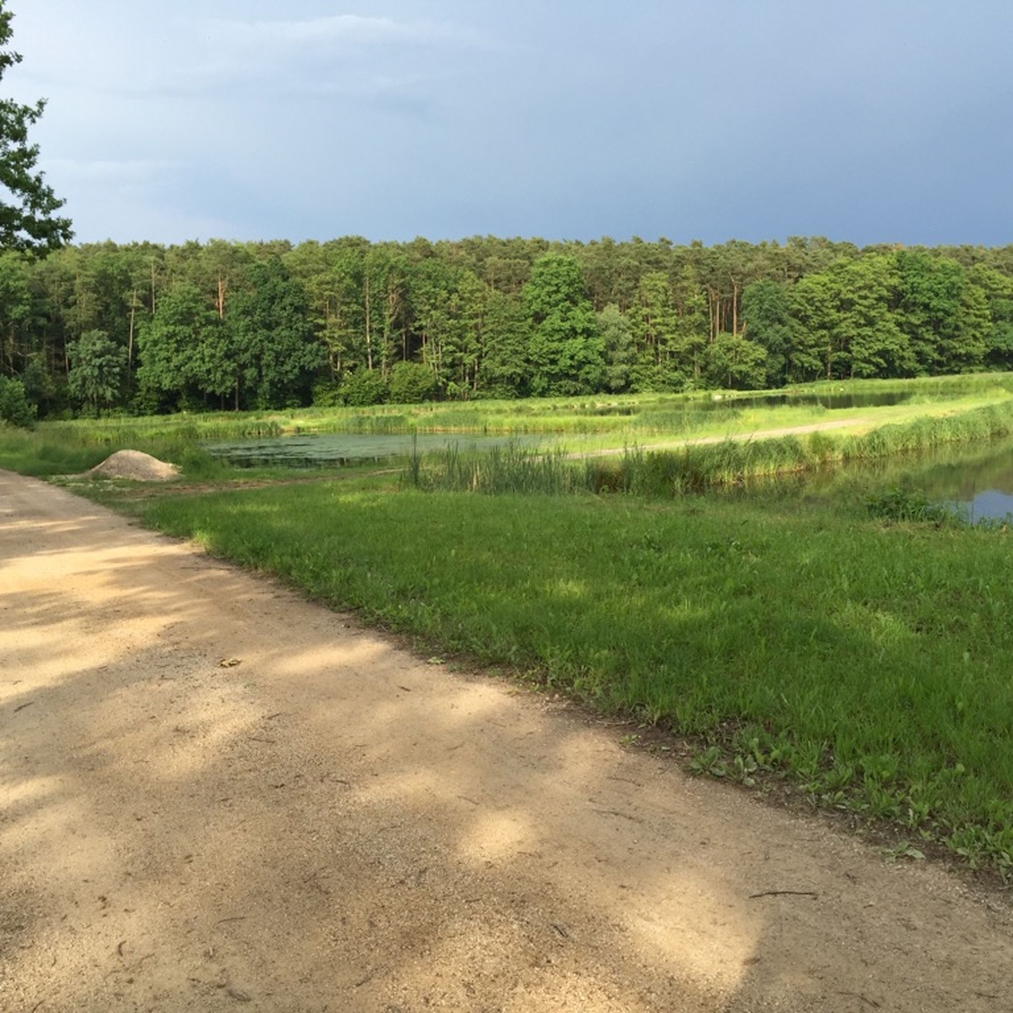
MTB Trails around Herzogenaurach
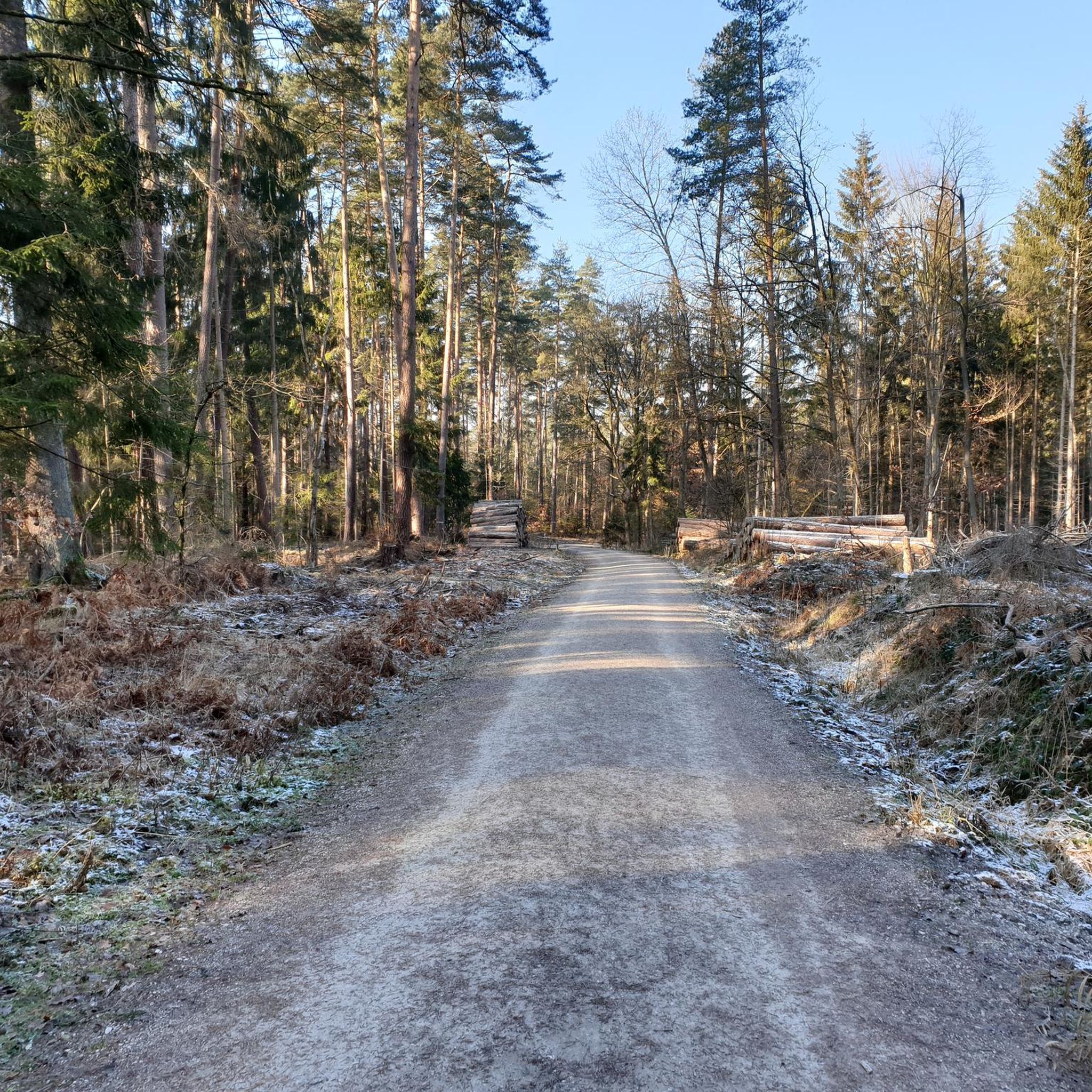
MTB Trails around Kalchreuther Forst
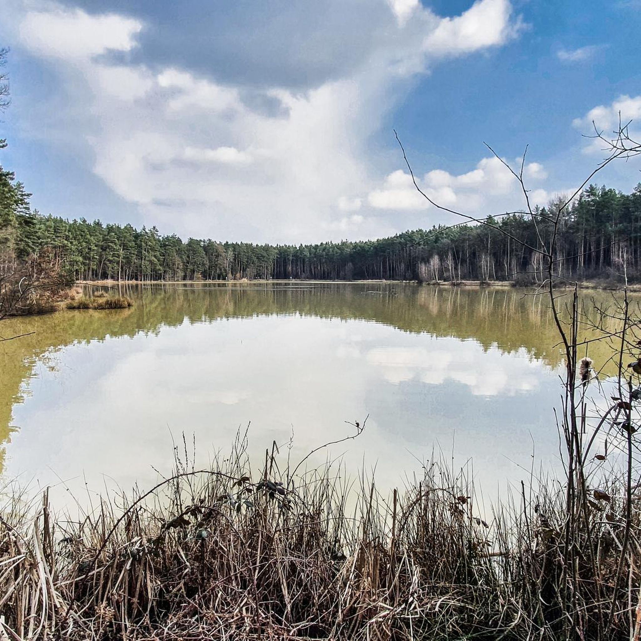
MTB Trails around Eckental
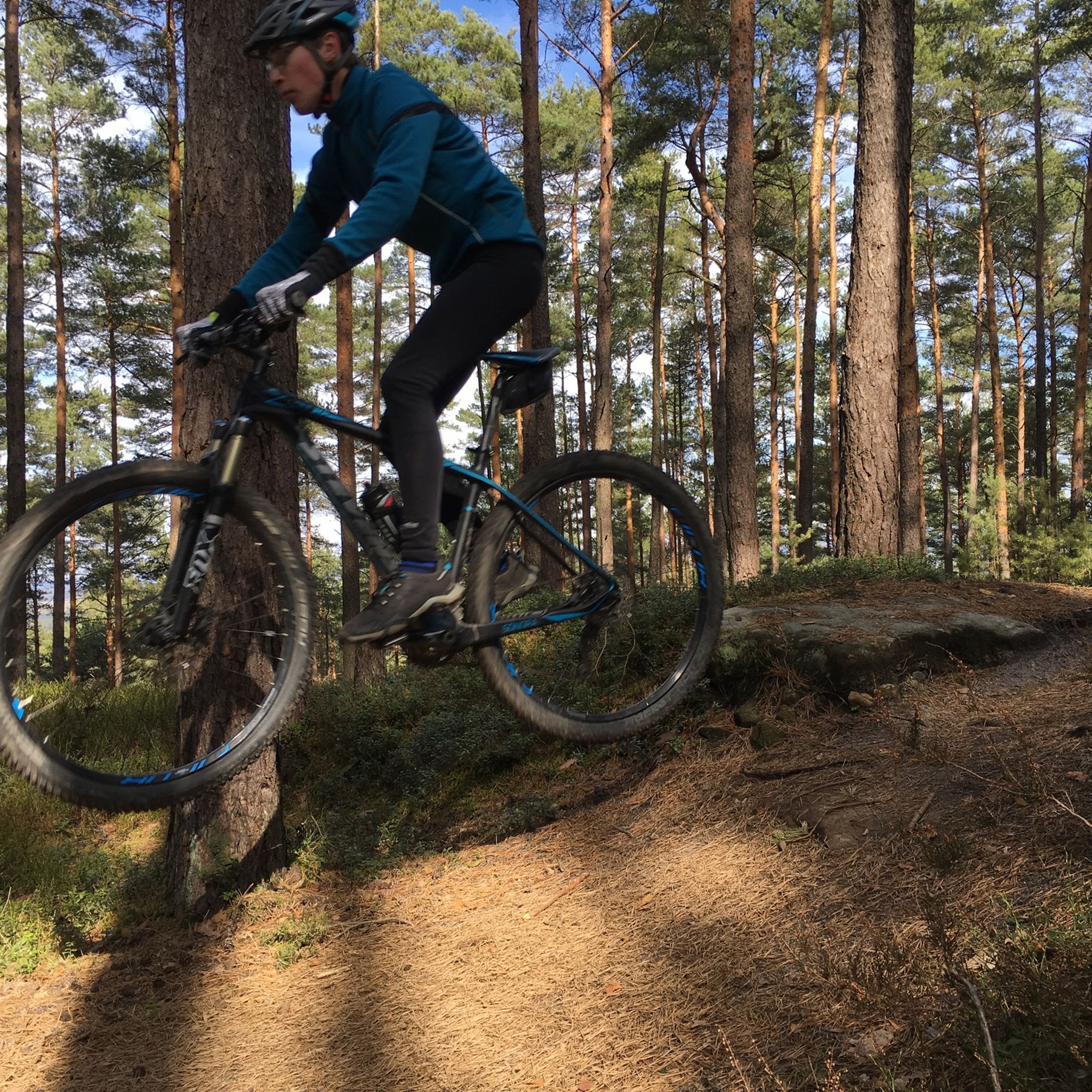
MTB Trails around Heroldsberg
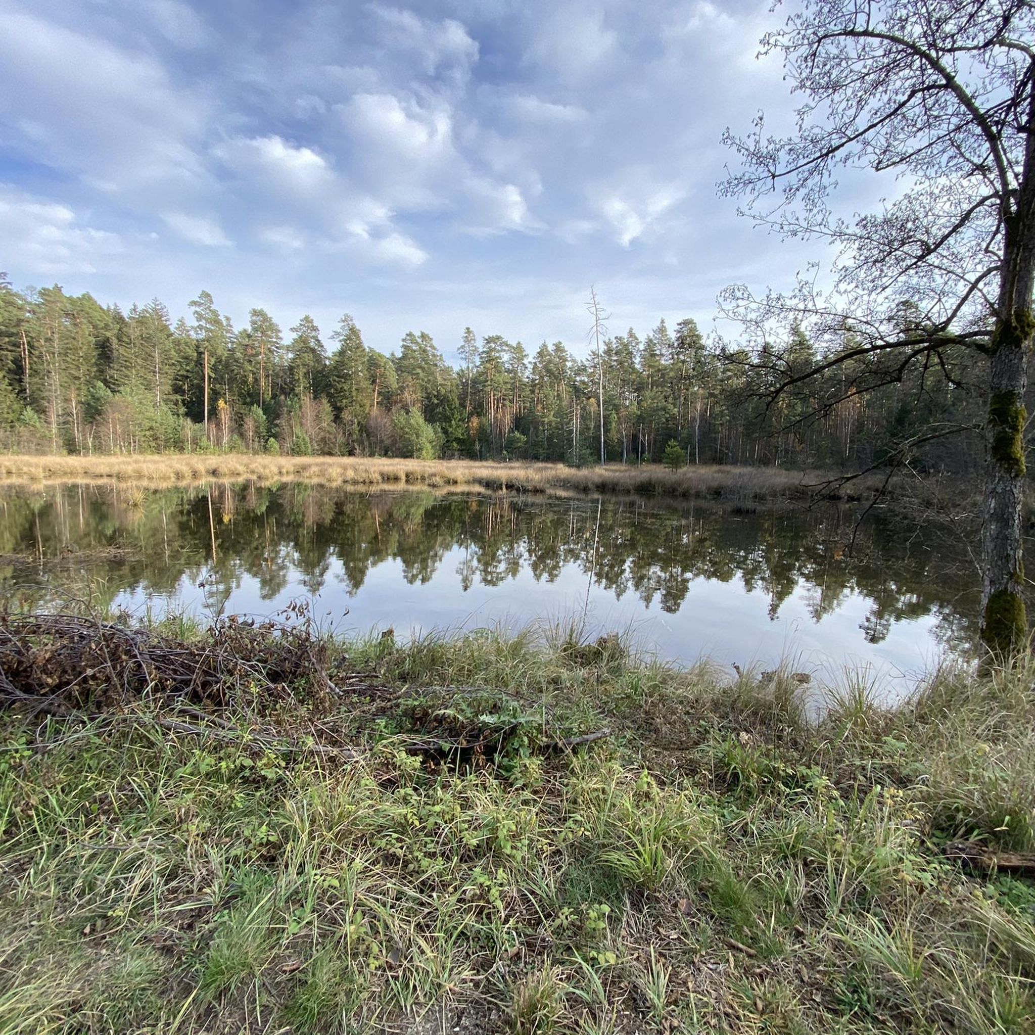
MTB Trails around Forst Tennenlohe
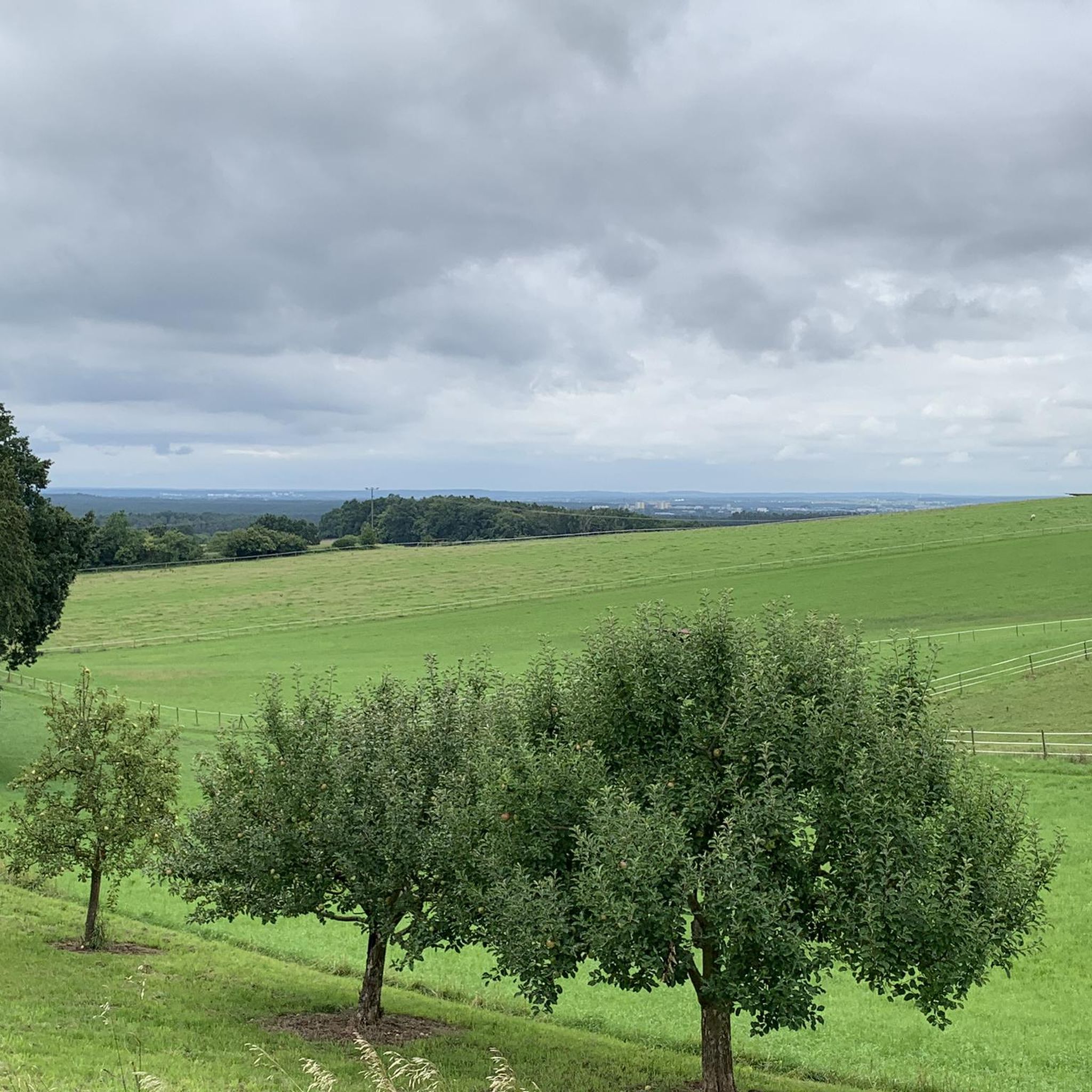
MTB Trails around Buckenhof
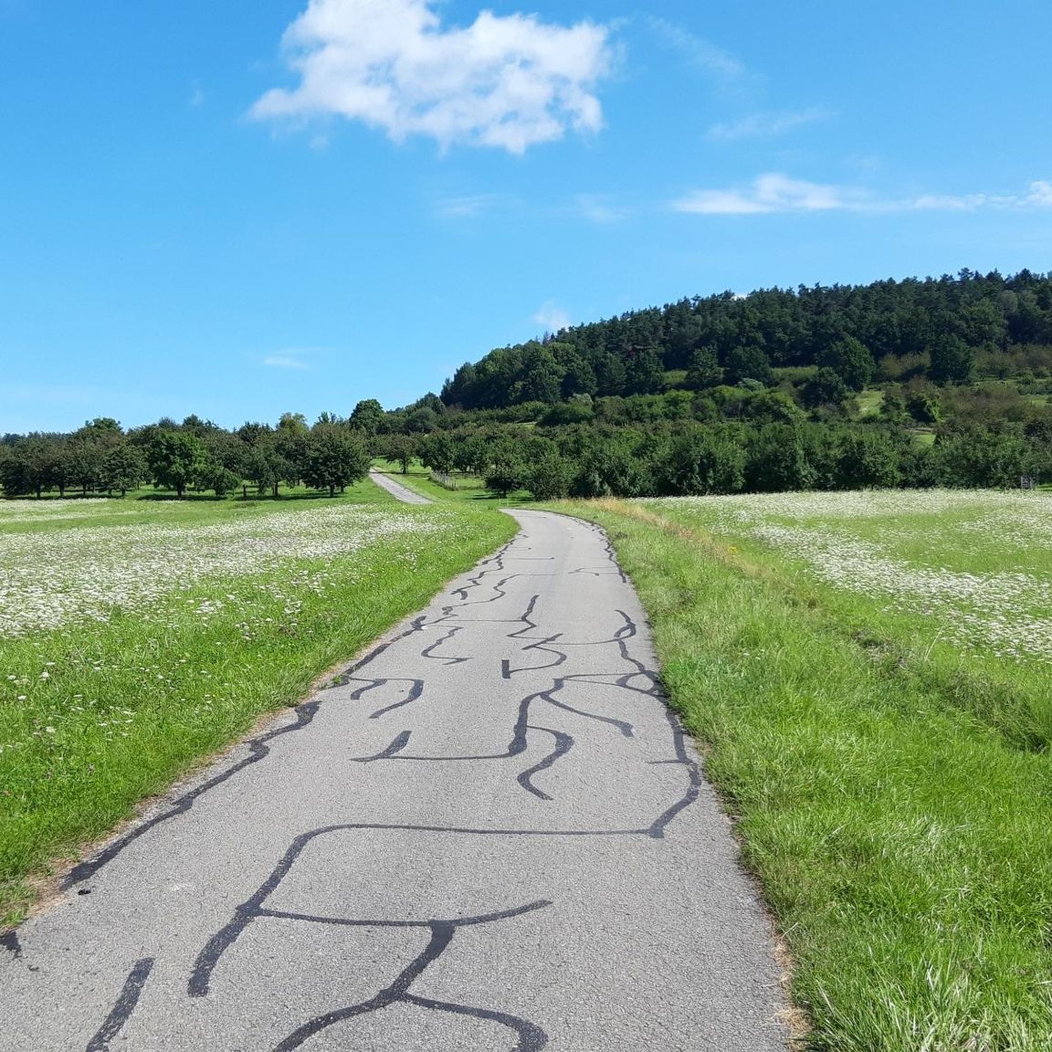
MTB Trails around Geschaidt
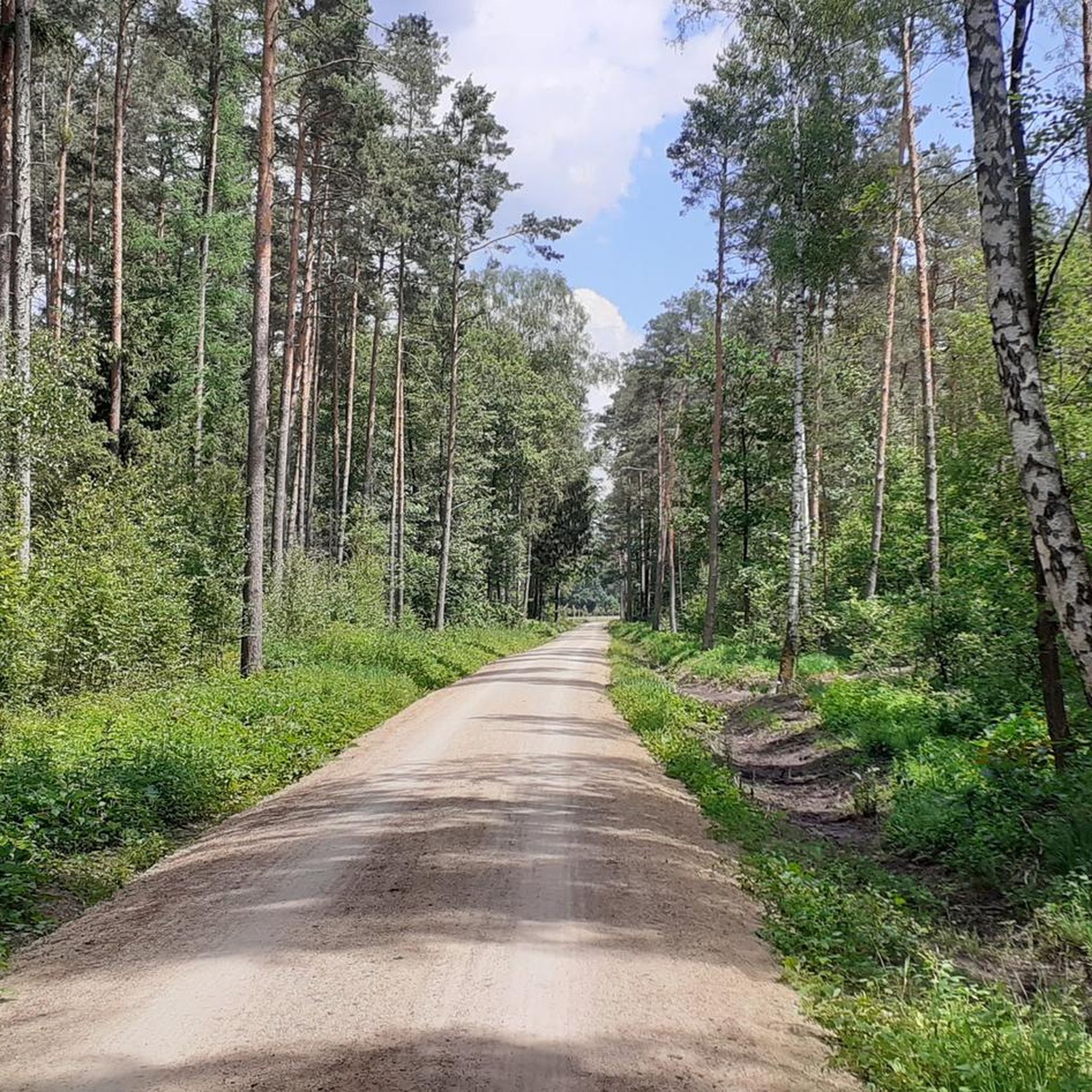
MTB Trails around Buckenhofer Forst
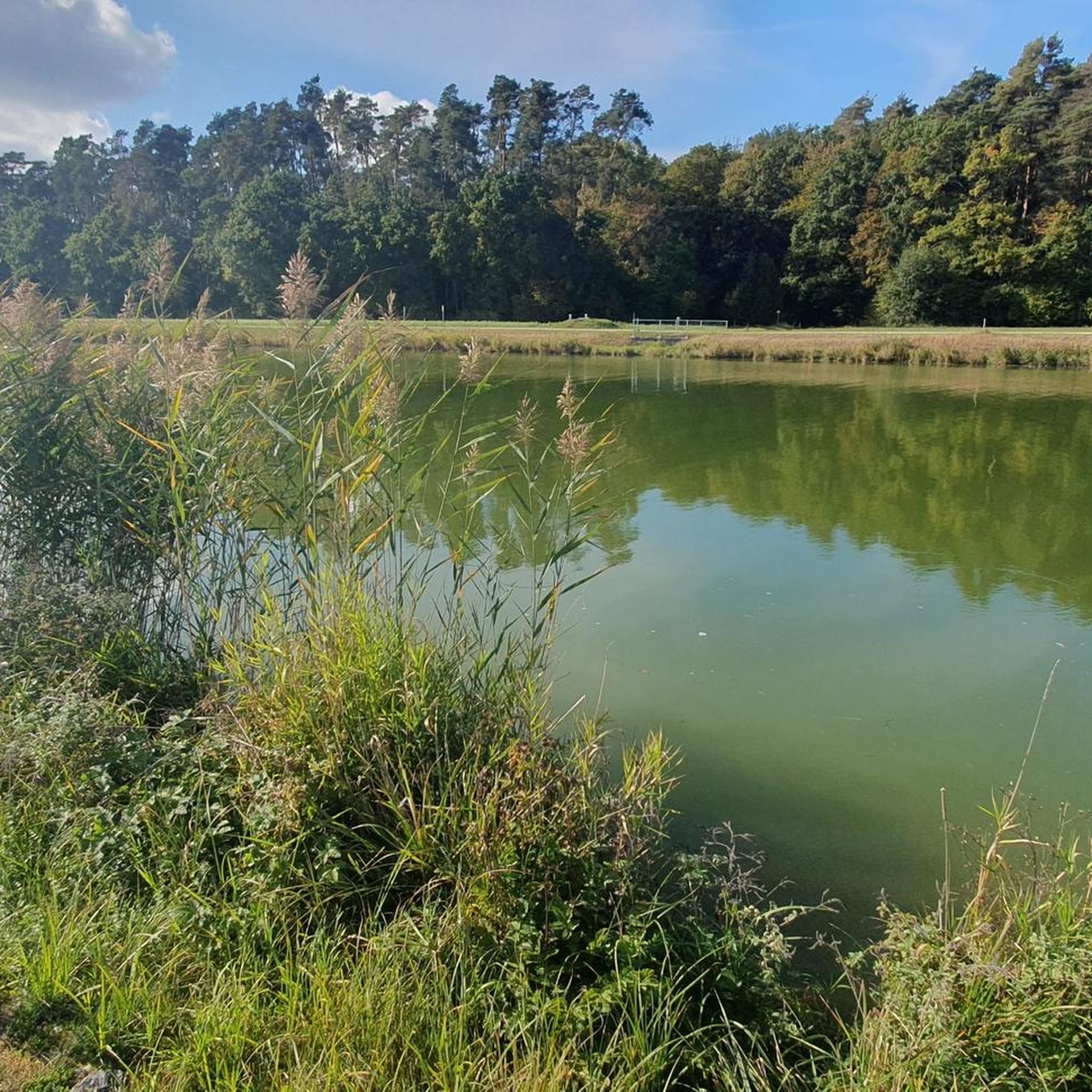
MTB Trails around Baiersdorf
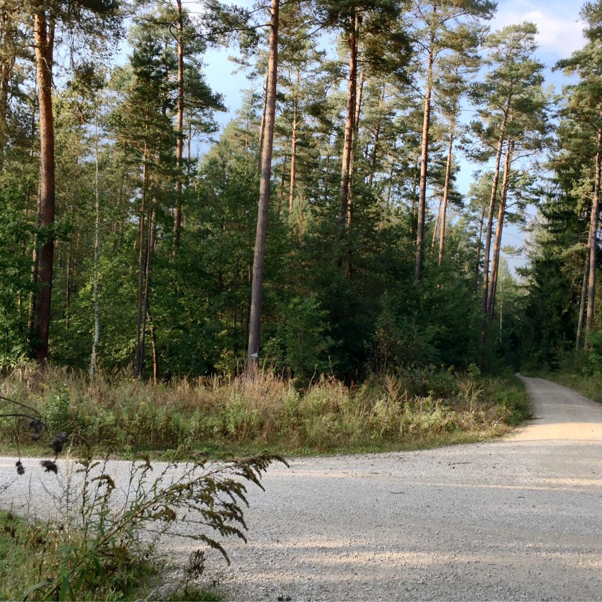
MTB Trails around Neunhofer Forst
Other adventures in Landkreis Erlangen-Höchstadt


Tips from the Community


In August 1943, air raids destroy a once significant manor house in Nuremberg's Lauf am Holz district: Schloss Oberbürg, of which today, when passing the two flanking towers at the entrance, only the farmyard enclosed by three building wings of the formerly three-part castle complex is preserved. A ruin densely overgrown with greenery. Of the four-winged main castle, secured by a moat and the arm of the Pegnitz, with round towers at the corners, only the remaining walls bear witness and recall a long-gone era.
0
0

The canal always great - Super great cycle paths
0
0

One pond more beautiful than the other.
0
0

Very nice trail, easy to ride S0/S1
1
0
Very nice trail, easy to ride S0/S1
1
0
Nice trail to ride, varied S0 to S2 everything is included
1
0

beautiful path to the spring
0
0
Frequently Asked Questions
How many mountain bike trails are available in Landkreis Erlangen-Höchstadt?
There are over 1000 mountain bike trails in Landkreis Erlangen-Höchstadt, offering a wide range of options for different skill levels and preferences.
What types of terrain can I expect on the mountain bike trails?
The region offers diverse terrain, from the extensive pine forests of the Tennenloher Forst to the serene Aischgrund pond landscape. You'll find routes through the Steigerwald in the west, parts of the Northern Franconian Alb in the east, and the Regnitz river valley. Some areas feature gorge forests with steep slopes and sandstone cliffs, providing varied challenges.
Are there mountain bike trails suitable for beginners or families?
Yes, the Aischgrund pond landscape, known for its flat and scenic routes, is particularly suitable for easier rides. While specific family-friendly routes are not highlighted in the data, many of the 312 easy trails in the region would be appropriate for less experienced riders or families. For a moderate option, consider the Pear Tree with Rest Area – Kahlberg Trail loop from Kalchreuther Forst.
Where can I find more challenging mountain bike routes?
For more advanced riders, the region offers 46 difficult trails. Routes like the Lillach Spring – Devil's Table on Eberhardsberg loop from Eschenau (Mittelfr), with over 1000 meters of elevation gain, or the Rothenberg Fortress – View from Glatzenstein loop from Eschenau (Mittelfr), are known for significant elevation changes and varied terrain.
What natural attractions or landmarks can I see along the mountain bike trails?
The region is rich in natural features. You can explore areas like the Tennenloher Forst, home to Przewalski wild horses and fallow deer. The Wildnis am Rathsberg nature reserve features gorge forests, springs, and sandstone cliffs. Additionally, you might encounter various gorges such as the Teufelsbadstube Gorge or the Indian Gorge, and even caves like the Blueberry Cave.
Are there any specific regulations for mountain biking in nature reserves like Tennenloher Forst or Wildnis am Rathsberg?
Access to ecologically sensitive areas, such as the Wildnis am Rathsberg, is generally restricted to marked paths to protect the unique flora and fauna. While specific mountain biking regulations for Tennenloher Forst are not detailed, it's always advisable to stay on designated trails in all nature reserves to minimize environmental impact and respect wildlife.
What do other mountain bikers enjoy most about the trails in Landkreis Erlangen-Höchstadt?
The area is highly rated by the komoot community, with an average score of 4.5 stars from over 1100 reviews. Mountain bikers often praise the diverse landscapes, from forests and valleys to more challenging technical features, and the variety of routes available for different ability levels.
Are there any mountain bike trails that are particularly scenic or offer great views?
Many trails in the region offer scenic beauty, especially those traversing the Steigerwald or the Northern Franconian Alb, which are known for spectacular views. The "Höhenglücksteig-Tour" is specifically noted for its varied terrain and spectacular views of the surrounding area. While not explicitly mentioned as a viewpoint, the Beautiful route – Mindful on the Way Chapel loop from Baiersdorf suggests a pleasant journey.
Can I find mountain bike trails that are circular routes?
Yes, many of the mountain bike trails in Landkreis Erlangen-Höchstadt are designed as circular routes, allowing you to start and end at the same point. Examples include the Wooden Footbridge in Hirschtal – Ratsberg Mini Downhill Trail loop from Baiersdorf and the Hochstraße Singletrack – Herrenweiher Near Tanzenhaid loop from Herzo Base.
What is the best time of year to go mountain biking in Landkreis Erlangen-Höchstadt?
The diverse natural spaces and well-developed trail network make the region appealing throughout much of the year. Spring and autumn generally offer pleasant temperatures and beautiful scenery. Summer is also suitable, though some trails might be busier. Always check local weather conditions before heading out.
Are there any long-distance mountain bike routes in the area?
Yes, there are several longer routes for those looking for extended rides. For instance, the Pond Area Around Schloss Neuhaus – Trailsdorf Mill loop from Gremsdorf covers over 46 kilometers, and the Lillach Spring – Devil's Table on Eberhardsberg loop from Eschenau (Mittelfr) is over 52 kilometers long, offering a full day's adventure.
Are there any trails that pass by places to eat or drink, like a beer garden?
Yes, some routes offer convenient access to amenities. For example, the Waldkeller Utz Downhill Trail – Felsenkeller Utz Beer Garden loop from Adelsdorf specifically includes a beer garden, providing a perfect spot for a break and refreshment during your ride.
Most popular routes in Landkreis Erlangen-Höchstadt
Most popular attractions in Landkreis Erlangen-Höchstadt

Get inspired with the komoot mobile app


Didn’t find what you were looking for?
Check out more MTB trails throughout Landkreis Erlangen-Höchstadt below and find the perfect route in your destination.
Explore more
Browse the best MTB trails in other regions.
