The 14 Most Amazing Peaks in South Limburg
Best mountain peaks in South Limburg are characterized by a distinctive hilly landscape, setting the region apart from the flatter parts of the Netherlands. These elevated areas, locally known as "bergen" or "Heuvelland," offer picturesque views and recreational opportunities. The region features notable hills such as Vaalserberg, the highest point in the European part of the Netherlands, and the cycling-famous Cauberg. South Limburg's topography provides a diverse environment for outdoor activities.
Best mountain peaks in South Limburg
- The most popular mountain peak is View from Tweelingterril, a viewpoint that offers expansive views. The climb is steep, but the view from the top at 127 meters is notable.
- Another must-see spot is View of the Terrils from the Lake, a viewpoint. Visitors can expect good views of the hills from open areas along the lake, with shady spots available.
- Visitors also love Waterschei spoil heap, a natural monument. This old spoil heap bears witness to the region's mining past and can be climbed, offering varied terrain for exploration.
- South Limburg is known for its diverse range of elevated areas, including natural hills, spoil heaps, and summits. The region offers a variety of mountain peaks to see and explore, from historical sites to challenging climbs.
- The mountain peaks in South Limburg are appreciated by the komoot community, with 424 upvotes and 82 photos shared by visitors.
Last updated: August 18, 2026
View of the Terrils from the Lake
Highlight • Viewpoint
Translated by Google •
Tip by

Hakkenberg - 252 m
Highlight • Summit
Translated by Google •
Tip by

Sign up now to discover places like this
Get recommendations on the best single tracks, peaks, & plenty of other exciting outdoor places.
Sign up for free
View from Tweelingterril
Highlight • Viewpoint
Translated by Google •
Tip by
Waterschei spoil heap
Highlight • Natural Monument
Translated by Google •
Tip by

Lieteberg Barefoot Trail Entrance
Highlight • Trail
Translated by Google •
Tip by

Kattenroth Summit (209 m)
Highlight • Summit
Noorbeek was part of the County of Dalhem for a long time, with 's Gravenisjes as main town on the other side of the mountain. The river Noor that rises here, flows via Altembrouck Castle to Belgium where it flows into the Voer. However, the direct route to 's Gravenvoeren crosses the Kattenroth, a mountain ridge that forms the border here. Climb this top from the church in Noorbeek and descend on the south side. You immediately feel abroad. In winter, low-hanging fog patches can shroud the top in mist, but in good weather you can see the entire Voer region.
Translated by Google •
Tip by

Winterslag spoil tip
Highlight • MTB Park
Translated by Google •
Tip by

Three-Star Point, Summit of Heusden-Zolder Spoil Tip
Highlight • Summit
Translated by Google •
Tip by
The stairs (highest point of Beringen)
Highlight • Summit
The Beringen slag heap leads you via hiking trails up to a height of 135 meters and treats you to an impressive panorama at the top. The slag heap is accessible between half an hour before sunrise and half an hour after sunset. The Stairs (the last part of this climb) is the highest point in Beringen!
Translated by Google •
Tip by

Unpaved sunken lane along the Mettenberg
Highlight (Segment) • Trail
Translated by Google •
Tip by
Sign up for free to discover even more peaks in South Limburg.
Sign up for free
Already have an account?
Start today with a free account
Your next adventure awaits.
Login or Signup
Popular around South Limburg
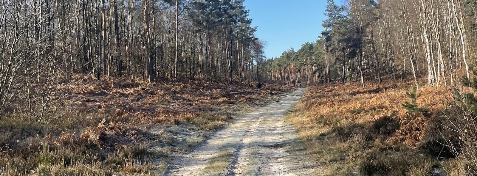
Belgium’s Hoge Kempen and Meuse Valley – Bram Tankink’s best rides

From Flanders to the Ardennes — GR 5 in Belgium
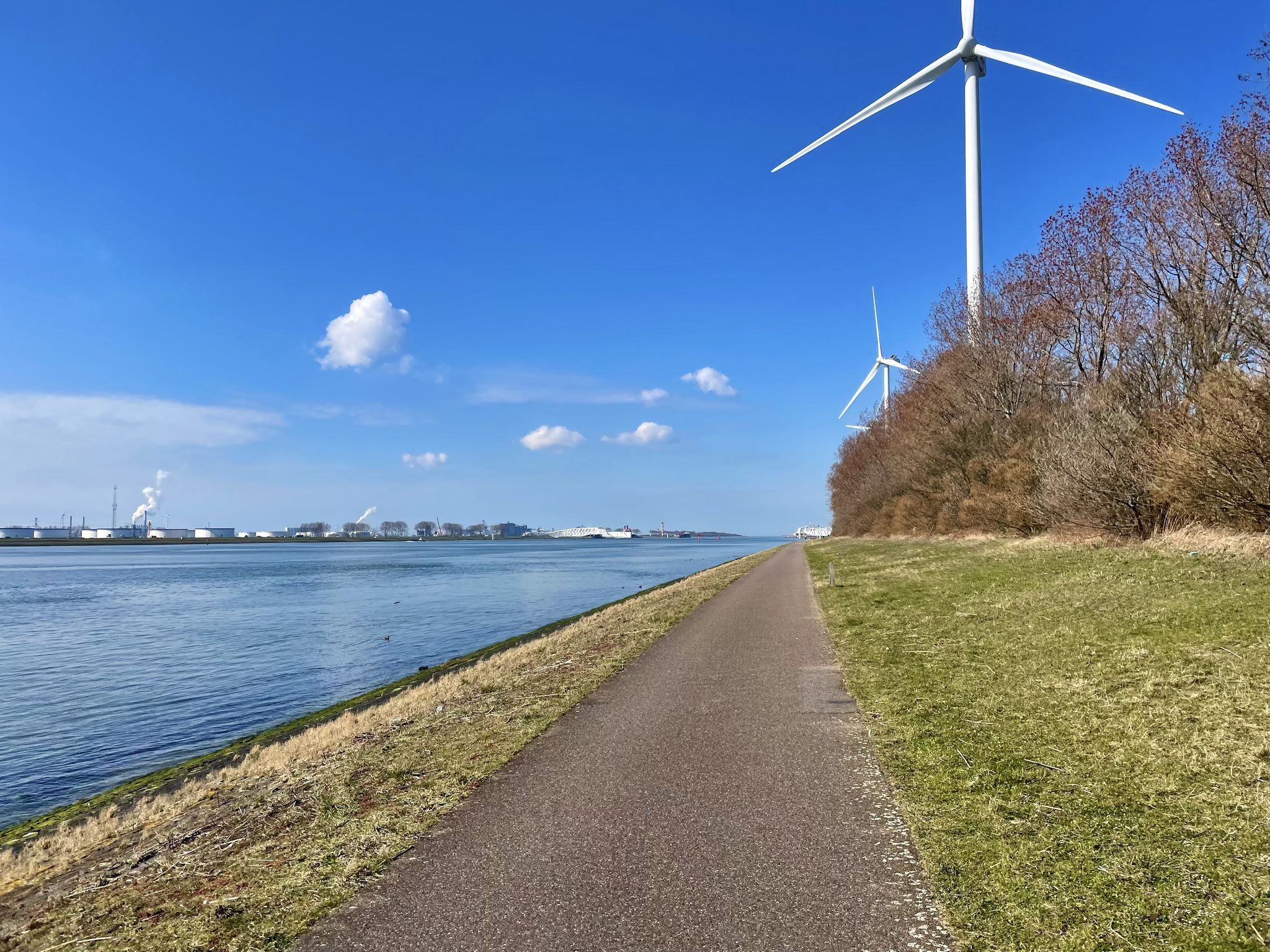
The Meuse Cycle Route - Follow the Meuse from the hills to the harbor
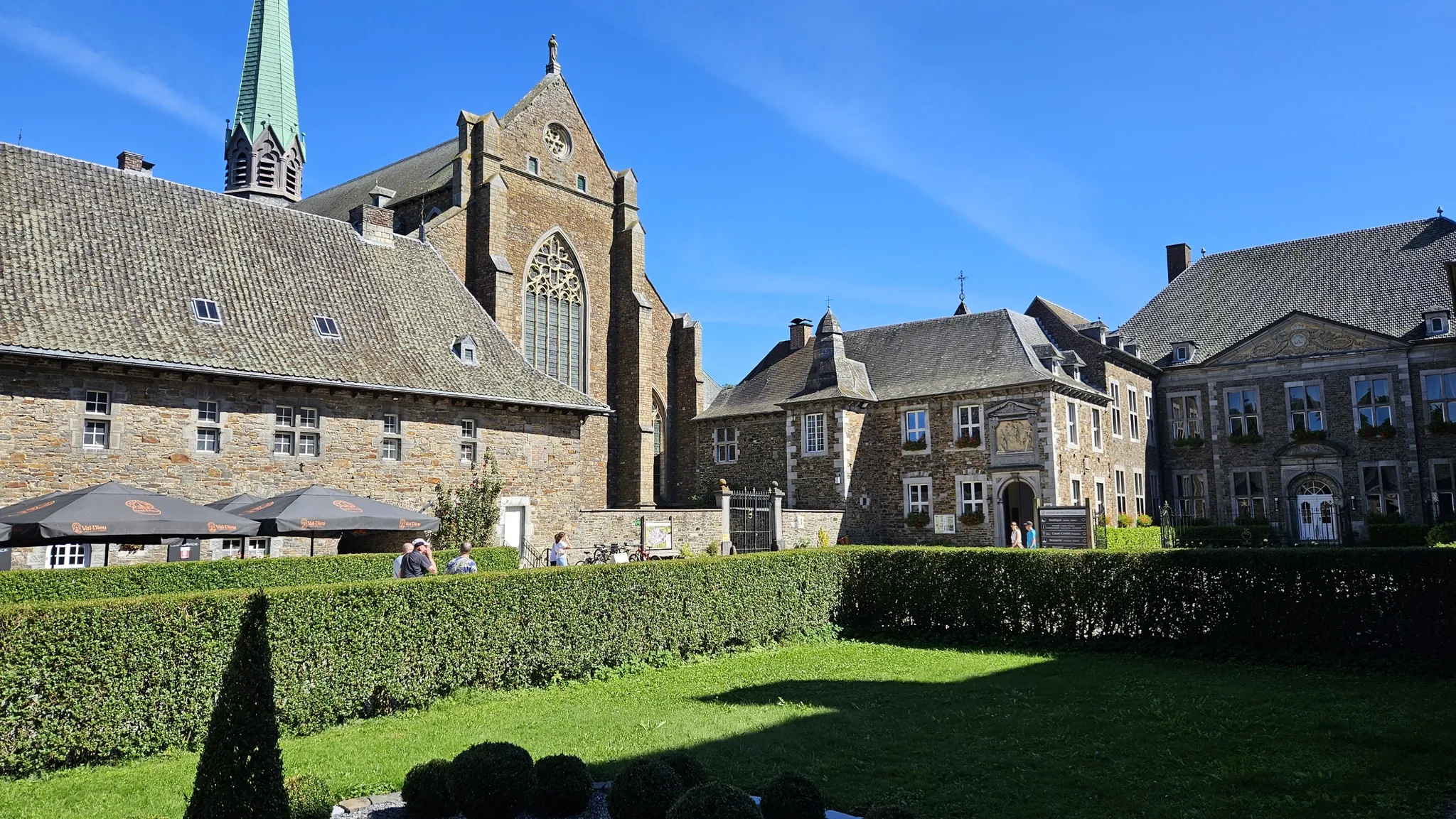
Trappist abbeys cycle route – Between beers and heritage
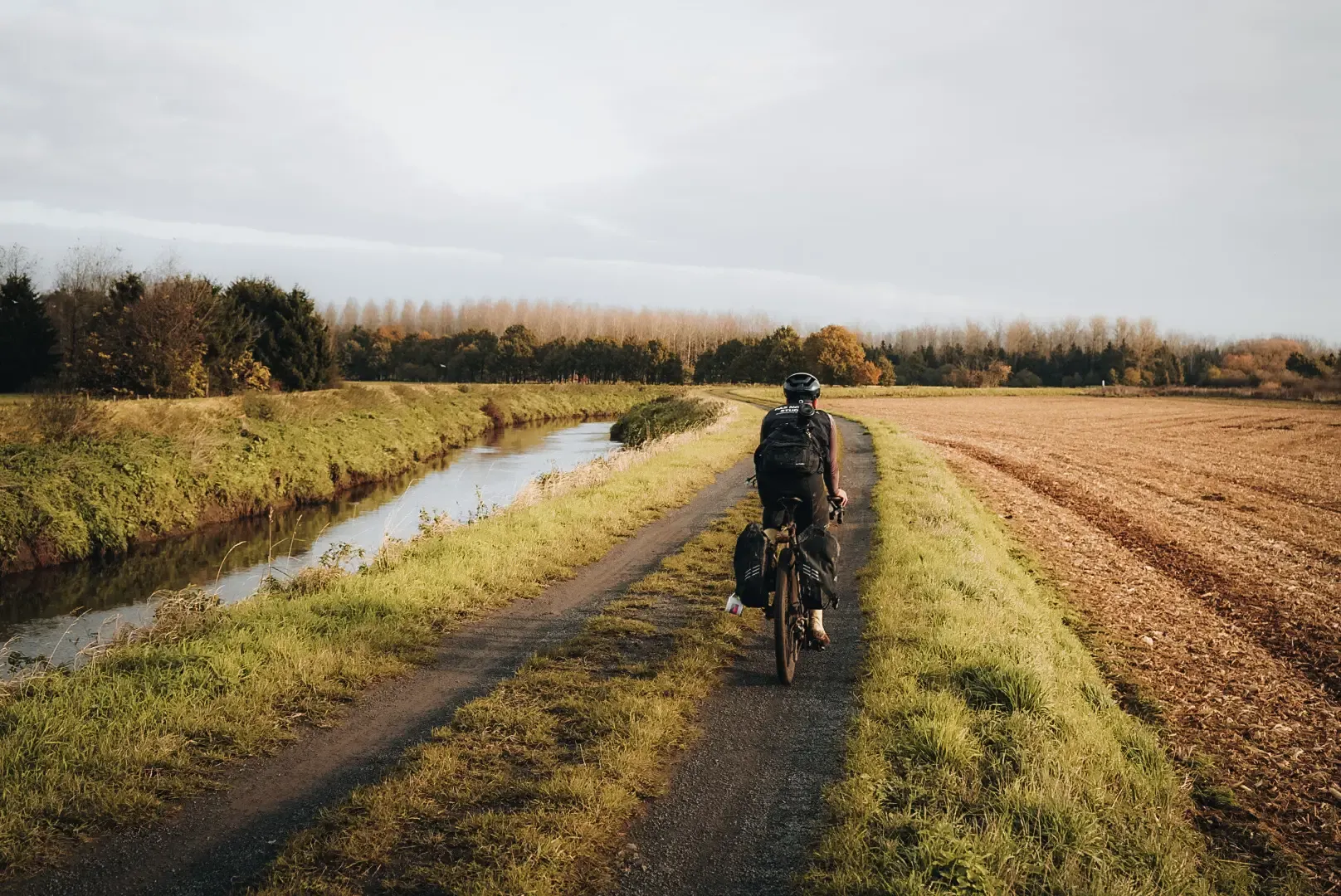
Flanders Divide - Across Flanders

Around the World in 80 Days
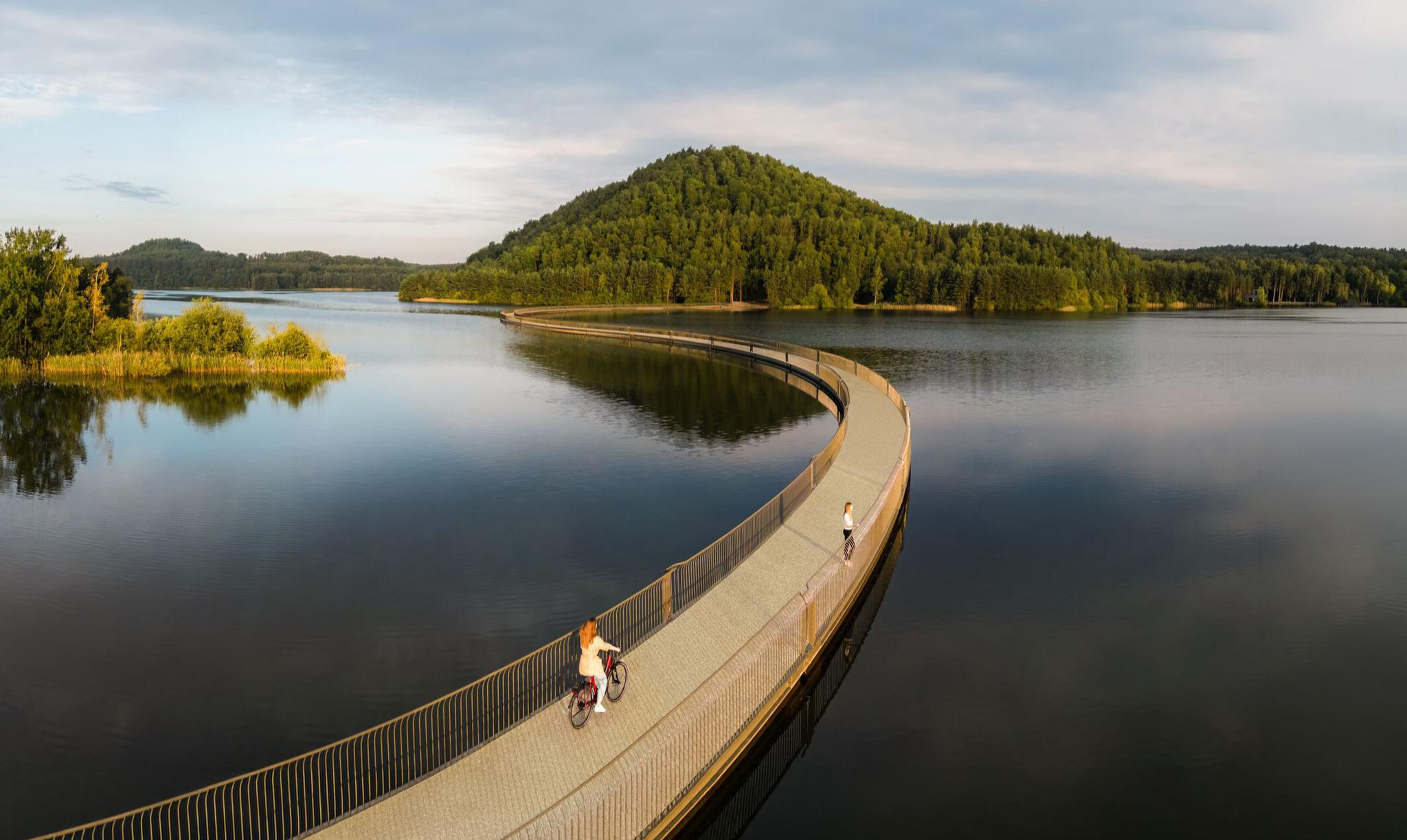
Three days through Belgian Limburg – art, heritage and views
The Meuse Cycle Route - Follow the Meuse from the hills to the harbor
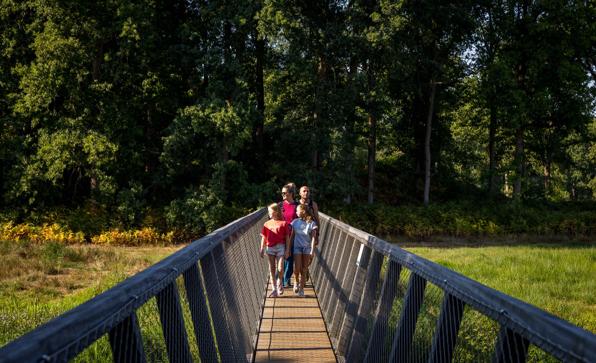
Flanders’ Finest Hiking Routes
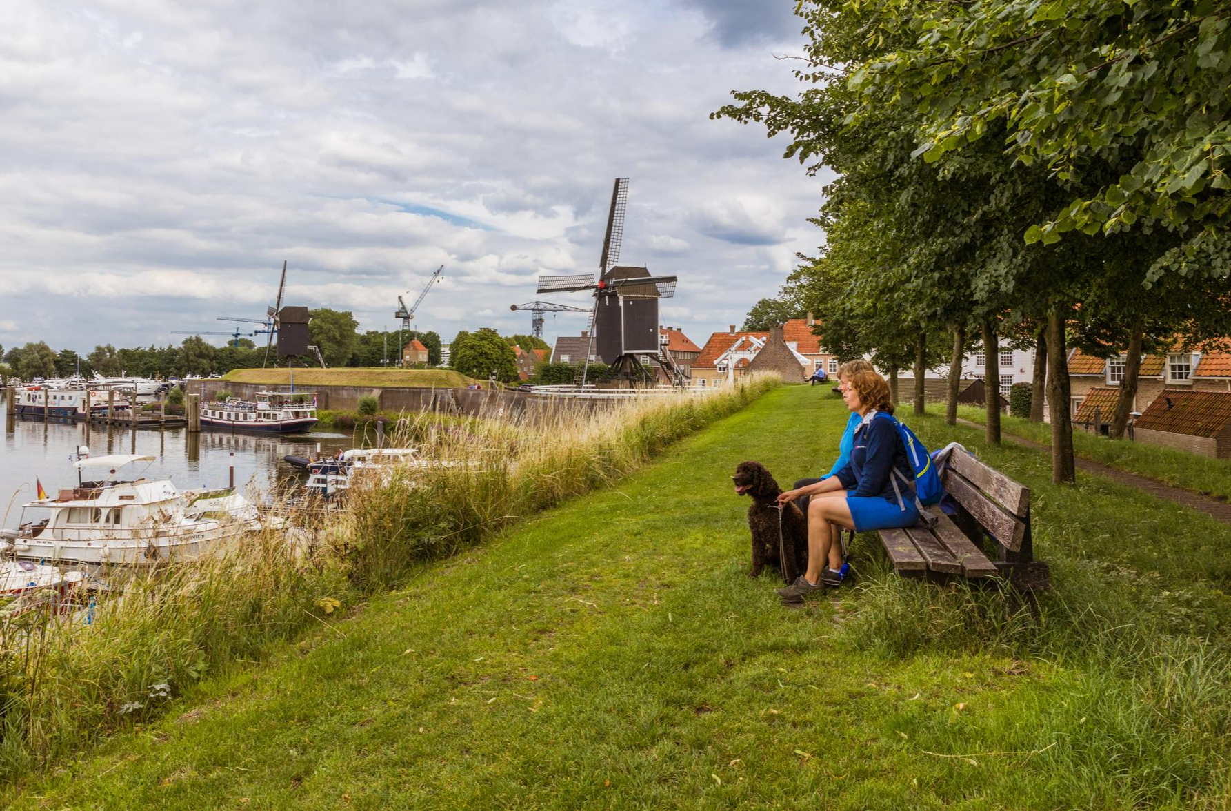
Hiking in Brabant – in Van Gogh’s footsteps in Southern Netherlands
Other adventures in South Limburg


Tips from the Community

Beautiful quiet surroundings with dense forests, once an open plain and beautiful paths.
3
0

The Waterschei spoil heap is one of the most striking remnants of coal mining in Belgian Limburg, located in the Waterschei district of Genk. The spoil heap originated as a waste heap from coal mining – during coal mining, rock material that did not contain usable coal was brought to the surface and piled up into an artificial hill. These centuries-old spoil heaps have since become visible landmarks in the landscape and are now deeply rooted in the region's culture and nature. The former mining area around Waterschei was active between 1924 and 1987 and played a significant role in the economic development of the Kempen coal basin. After the mines closed, the area lost its industrial function, but the spoil heaps remained as immense silent witnesses to that mining past. In 1999, the Waterschei spoil heaps were officially designated a protected landscape, emphasizing the value of these structures, not only historically but also ecologically. Today, the slag heaps are part of Thor Park, a redeveloped nature recreation and heritage area of approximately 30 hectares where industrial history and natural experiences converge. Hiking trails have been laid out around the slag heaps, often marked with small stacked stones—symbolic "cairns"—that invite visitors to climb the slopes and leave their own markings. At the top of the slag heap, you're rewarded with a panoramic view of the former mining site, forest, heathland, and the surrounding landscape. The Waterschei slag heap combines history, nature, and recreation. The hill is not only a monument to the mining industry but also a place where vegetation and biodiversity have developed on the rugged stone. As such, the slag heap offers a fascinating example of how an industrial artifact can transform into an ecologically and recreationally valuable landscape.
0
0
At 209 meters above sea level, the Kattenroth is one of the highest points in the Voer region. From the summit, you have a panoramic view of the rolling Limburg hills, the surrounding meadows, forest edges, and picturesque villages such as Sint-Martens-Voeren and Ulvend. The hill is popular with hikers and nature lovers because the area offers a combination of tranquility and beautiful vistas. Along the paths, you'll encounter wooded banks, old field paths, and the occasional field cross, adding to the charm of this landscape. The Kattenroth is not only a place for views and relaxation but also a landmark in the Voeren landscape.
1
0

Old unpaved footpaths are still common in the agricultural area between Halen and Loksbergen. The road layout has changed relatively little between the 17th century and the present. East of these roads lies the Betserbaan, which played a key role in the Battle of Halen. Of interest is this Kanoniersstraat, which is unpaved for its entire length between the Betserbaan and the Kauwplasstraat (1.6 km) and has a cart track as its base. Where this road crosses the summit of the Mettenberg, it cuts into the flanks, creating a sunken lane with wooded banks on the verge. These wooded banks belong to the category of "indigenous trees and shrubs," with the most common species being robinia, oak, and hawthorn. Historically, the Kanoniersstraat was the old connecting road between Halen and Leuven across the interfluve of the Ketelbeek and IJzerenbeek (demonstrable by a 17th-century tithe map). It has since lost its role as a connecting road. Kanoniersstraat has now been given a purely local role, allowing it to retain its authentic appearance as an old road. Inventory of Immovable Heritage: Sunken Roads, https://id.erfgoed.net/erfgoedobjecten/300954
1
0
The Hakkenberg is one of the higher points in the Limburg hills, at an altitude of 252 meters. From here, you have a beautiful view of the surrounding rolling fields, forests, and villages that reflect the character of South Limburg.
2
0

The highest point of Kattenrothberg is 209 meters. It lies between the Netherlands (Noorbeek) and Belgium (Sint-Maartens Voeren). Info: https://www.peakbagger.com/peak.aspx?pid=-138260
2
0


A sunken road is a road that is so deeply worn that it lies between two slopes. It is the result of centuries of use and erosion. The most beautiful sunken roads can be found especially in hilly areas with a subsoil that easily forms steep walls, such as in Haspengouw and Hageland.
2
0
Frequently Asked Questions
What is the highest point in South Limburg?
The highest point in the European part of the Netherlands, and thus in South Limburg, is the Vaalserberg, standing at 322.4 meters above NAP. It's famously known as the Drielandenpunt (Three-Country Point) where the borders of the Netherlands, Belgium, and Germany meet. You can find observation towers there, offering panoramic views.
Which peaks offer the best panoramic views in South Limburg?
For expansive views, the View from Tweelingterril is highly recommended, despite a steep climb to its 127-meter summit. The Vaalserberg also provides excellent panoramic views from its observation towers. Additionally, the Waterschei spoil heap and Winterslag spoil tip offer impressive vistas over the Limburg countryside.
Are there family-friendly options among South Limburg's peaks?
Yes, several peaks and their surrounding areas are great for families. The Vaalserberg, for instance, features the Labyrint Drielandenpunt, which is a fun activity for all ages. The View of the Terrils from the Lake is also noted as family-friendly, offering good views and shady spots. The Waterschei spoil heap is another family-friendly natural monument to explore.
What historical landmarks or unique features can I find on these peaks?
South Limburg's peaks are rich in history. Sint Pietersberg, near Maastricht, features the impressive Fort Sint Pieter and vast marl caves like the Zonneberg caves, offering guided tours. The Waterschei spoil heap is a protected natural monument bearing witness to the region's mining past. The Vaalserberg is unique as the Drielandenpunt, a tripoint of three countries.
What kind of nature can I expect to see around South Limburg's peaks?
The region's 'Heuvelland' offers diverse nature. Sint Pietersberg is known for its biodiversity, including butterflies, bats, rare plants, and even eagle owls. Many peaks are surrounded by forests, and areas like the Waterschei spoil heap are part of nature reserves. You'll find rolling landscapes, charming villages, and varied terrain for exploration.
When is the best time to visit the peaks in South Limburg?
The 'Heuvelland' region is beautiful year-round. Spring and autumn offer pleasant temperatures for hiking and cycling, with vibrant colors. Summer is also popular, especially with shaded spots available near highlights like the View of the Terrils from the Lake. Even winter can be charming, though some trails might be muddy.
Are there challenging climbs for experienced hikers or cyclists?
Absolutely. The Cauberg is internationally famous for its challenging gradients, making it a key feature in professional cycling races like the Amstel Gold Race. For hikers, the climb to the View from Tweelingterril is steep but rewarding. The Winterslag spoil tip also offers tough climbs, particularly popular with mountain bikers.
What outdoor activities can I do near these mountain peaks?
Beyond hiking and cycling on the peaks themselves, South Limburg offers a variety of outdoor activities. You can find numerous hiking trails, including easy options like the Mechelse Heide Red Triangle Trail. For runners, there are challenging routes like the National Park Marathon. Mountain biking is also popular, especially around the spoil heaps like Winterslag spoil tip.
Are there hiking trails near these mountain peaks?
Yes, the region is crisscrossed with hiking trails. For easy walks, explore routes mentioned in the Easy hikes in South Limburg guide. More moderate and challenging options are available in the broader Hiking in South Limburg guide, including trails like the Pietersheim - Purple hiking trail. Many peaks, such as Sint Pietersberg, have dedicated trails offering impressive views.
What do visitors enjoy the most about South Limburg's peaks?
Visitors frequently praise the fantastic views from the summits, especially after a challenging climb, as noted for the View from Tweelingterril. The variety of terrain, from natural hills to historical spoil heaps, and the rich history and nature, are also highly appreciated. The unique geographical significance of places like Vaalserberg also draws many visitors.
Are there facilities like cafes or accommodation near the peaks?
Yes, the region is well-equipped for visitors. The base of the Cauberg is close to Valkenburg aan de Geul, which offers a range of attractions, including a holiday village, spa center, and various dining options. Near the Vaalserberg, you'll find facilities at the Drielandenpunt. Maastricht, adjacent to Sint Pietersberg, provides numerous cafes, restaurants, and accommodation choices.
How accessible are the peaks by public transport or car?
Many of South Limburg's peaks are reasonably accessible. Major towns like Maastricht (near Sint Pietersberg) and Valkenburg (near Cauberg) are well-connected by public transport. For the Vaalserberg, there are roads leading to the Drielandenpunt with parking facilities. The region generally has good infrastructure, making it possible to reach various trailheads by car, though specific parking details vary by location.
Can I find trails that combine natural beauty with historical sites?
Absolutely. Sint Pietersberg is a prime example, where you can hike through diverse natural landscapes and explore the historic Fort Sint Pieter and its marl caves. The Waterschei spoil heap also offers a blend of natural beauty and industrial heritage, allowing you to climb an old mining site that has been reclaimed by nature.
Most popular routes in South Limburg
Most popular attractions in South Limburg

Get inspired with the komoot mobile app


Didn’t find what you were looking for?
Discover South Limburg’s best peaks and summits by region:
Explore more
See even more amazing summits in South Limburg with these guides:
