
The best running trails around Area B (Lower Columbia/Old Glory)
5.0
(1)
25
runners
4
runs
Jogging around Area B (Lower Columbia/Old Glory) offers diverse terrain for runners, encompassing the Lower Columbia region and the Rossland Range in British Columbia, Canada. The landscape features challenging mountain trails, including Old Glory Mountain, alongside more accessible rail-grade paths. The region is characterized by a mix of dense forests, open areas, and mountain backdrops, providing varied scenery for running. Elevation changes range from gentle grades on rail trails to significant ascents on mountain routes.
Best jogging routes around Area…
Last updated: November 12, 2026
9
runners
16.2km
02:10
540m
540m
Hard run. Very good fitness required. Mostly paved surfaces.
5.0
(1)
7
runners
6.57km
00:50
220m
220m
Moderate run. Good fitness required. Mostly runnable paths. Some sure-footedness required.

4
runners
5.70km
00:45
210m
210m
Moderate run. Good fitness required. Mostly paved surfaces.
Our route recommendations are based on thousands of hikes, rides, and runs completed by other people on komoot.
Start today with a free account
Your next adventure awaits.
Popular around Area B (Lower Columbia/Old Glory)
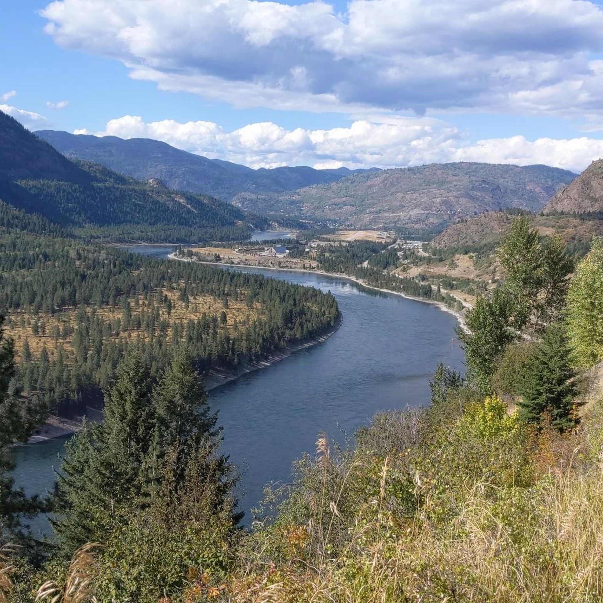
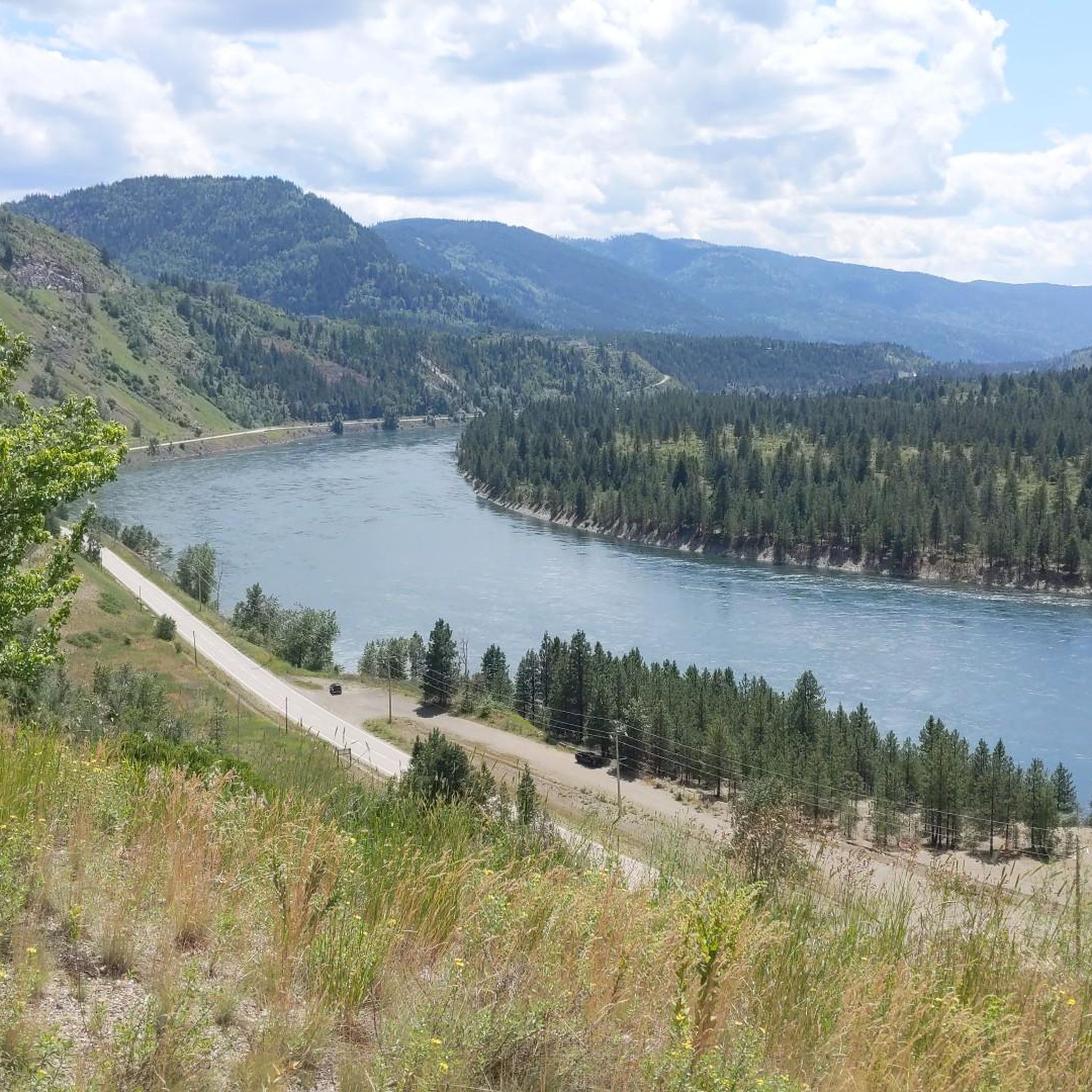
Other adventures around Area B (Lower Columbia/Old Glory)


Frequently Asked Questions
What kind of terrain can I expect on running routes in Area B (Lower Columbia/Old Glory)?
The region offers a diverse range of terrain. You'll find challenging mountain trails, particularly around Old Glory Mountain, which feature significant elevation gain and can be steep and rocky. In contrast, the historic Columbia & Western Rail Trail provides a gentler grade with surfaces ranging from hard-packed gravel to looser sand, making it suitable for a wider range of runners. Many routes also lead through dense forests and open areas.
Are there challenging running routes for experienced runners in Area B (Lower Columbia/Old Glory)?
Yes, experienced runners seeking a challenge will find several difficult routes. For example, the Centre Star Gulch Reservoir – Red Mountain loop from Rossland is a 10.0-mile (16.2 km) trail with substantial elevation gain through mountainous terrain. The Old Glory Mountain itself is known for its 'Black Diamond' difficulty, offering strenuous ascents and panoramic views.
Are there easier running options in Area B (Lower Columbia/Old Glory)?
Absolutely. While there are challenging mountain trails, the region also provides more accessible options. The Columbia & Western Rail Trail, part of the Kettle Valley Rail (KVR) Trail network, offers a generally gentler grade along a decommissioned rail bed. For a moderate forest and lake experience, consider the Running loop from Champion Lakes Provincial Park, which is 4.5 miles (7.3 km) long.
What natural features or landmarks can I see while running in Area B (Lower Columbia/Old Glory)?
Runners can enjoy a variety of natural beauty and landmarks. The Old Glory Mountain trails offer stunning panoramic views of the Monashee mountains, alpine meadows, and wildflowers. Along the Columbia and Western Rail Trail, you'll cross impressive trestle bridges, pass through tunnels like the Bulldog Tunnel, and enjoy scenic stretches hugging the shore of Lower Arrow Lake. The broader region is characterized by diverse ecosystems, dense forests, and captivating mountain backdrops.
Are there any historical points of interest along the running trails?
Yes, the region is rich in history. On Old Glory Mountain, you can find historical remnants such as a decommissioned fire lookout building, which once served as Canada's highest weather station, and even a 1947 plane crash site. The Columbia and Western Rail Trail itself is a historic rail bed, part of the extensive Kettle Valley Rail network, featuring old railway infrastructure like trestle bridges and tunnels.
Is parking available at the trailheads in Area B (Lower Columbia/Old Glory)?
While specific parking details for every trailhead are not listed, the Columbia & Western Rail Trail has various access points from different communities, implying convenient parking options. For routes starting from Rossland, such as the Kootenay Columbia loop from Rossland, parking is generally available within or near the town to access the trails.
Are the running routes in Area B (Lower Columbia/Old Glory) suitable for families?
Many sections of the Columbia & Western Rail Trail, with its gentler grade and diverse surface, are suitable for families looking for an accessible running or walking experience. Routes like the Running loop from Champion Lakes Provincial Park, which leads through forested areas and around lakes, also offer a pleasant and moderate option for families.
Can I bring my dog on the running trails in Area B (Lower Columbia/Old Glory)?
Generally, many trails in British Columbia's outdoor areas are dog-friendly, especially if dogs are kept on a leash. The Columbia & Western Rail Trail, being a multi-use path, is typically welcoming to dogs. However, it's always recommended to check specific park or trail regulations for any restrictions before heading out with your pet.
What is the best time of year to go running in Area B (Lower Columbia/Old Glory)?
The best time largely depends on the type of running you prefer. For high-altitude trails like Old Glory Mountain, late June to early September offers the best conditions, with alpine meadows in bloom and less snow. Lower elevation trails and the Columbia & Western Rail Trail can be enjoyed from spring through fall. Winter running is possible, but conditions can vary significantly, especially at higher elevations, requiring appropriate gear and caution.
Are there any circular running routes in Area B (Lower Columbia/Old Glory)?
Yes, there are several excellent circular routes available. Examples include the Centre Star Gulch Reservoir – Red Mountain loop from Rossland, a challenging 10.0-mile loop, and the moderate Kootenay Columbia loop from Rossland. Another popular option is the Running loop from Champion Lakes Provincial Park, offering a scenic 4.5-mile circuit around the lakes.
What do other runners enjoy the most about jogging in Area B (Lower Columbia/Old Glory)?
The running routes in Area B (Lower Columbia/Old Glory) are highly rated by the komoot community, with an average score of 5.0 stars. Runners often praise the diverse terrain, from challenging mountain ascents with panoramic views to the more accessible and scenic rail trails. The mix of dense forests, open areas, and historical points of interest also contributes to a varied and engaging experience.
How many running routes are available in Area B (Lower Columbia/Old Glory)?
There are over 5 running routes documented in Area B (Lower Columbia/Old Glory) on komoot, offering a range of distances and difficulties to suit different preferences and fitness levels.
Most popular routes around Area B (Lower Columbia/Old Glory)
Most popular attractions around Area B (Lower Columbia/Old Glory)

Get inspired with the komoot mobile app


Explore more
Browse the best Running Trails & Routes in other regions.
