The best walks and hikes around Area B (Lower Columbia/Old Glory)
5.0
(7)
116
hikers
12
hikes
Hiking around Area B (Lower Columbia/Old Glory) offers diverse landscapes characterized by rugged mountainous terrain, dense old-growth forests, and alpine meadows. The region is dominated by the Rossland Range, with Old Glory Mountain reaching nearly 7,800 feet (2,377 meters). Trails often feature significant elevation changes, crossing creeks and traversing open ridgelines.
Best hiking trails around Area B (Lower Columbia/Old Glory)
- The most popular hiking route is Old Glory Mountain loop from Black Jack Cross Country Ski Club, a 10.9…
Last updated: July 1, 2026
6
hikers
6.14km
01:49
180m
180m
Easy hike. Great for any fitness level. Easily-accessible paths. Suitable for all skill levels.
3
hikers
11.1km
03:51
630m
630m
Embark on the Abercrombie Mountain Trail, a moderate hike spanning 6.9 miles (11.1 km) with a significant elevation gain of 2078 feet (633 metres). This route typically takes around 3…

Sign up for free
1
hikers
2.47km
00:39
20m
20m
Easy hike. Great for any fitness level. Easily-accessible paths. Suitable for all skill levels.
1
hikers
3.06km
00:47
20m
20m
Easy hike. Great for any fitness level. Easily-accessible paths. Suitable for all skill levels.
5.0
(2)
23
hikers
Easy hike. Great for any fitness level. Easily-accessible paths. Suitable for all skill levels.
Get access to more routes and recommendations from other explorers.
Sign up for free
Already have an account?
Our route recommendations are based on thousands of hikes, rides, and runs completed by other people on komoot.
Start today with a free account
Your next adventure awaits.
Login or Signup
Popular around Area B (Lower Columbia/Old Glory)


Other adventures around Area B (Lower Columbia/Old Glory)


Tips from the Community

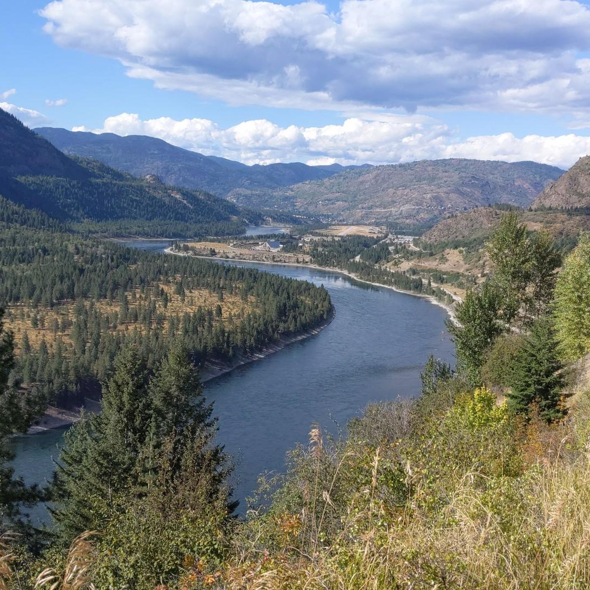
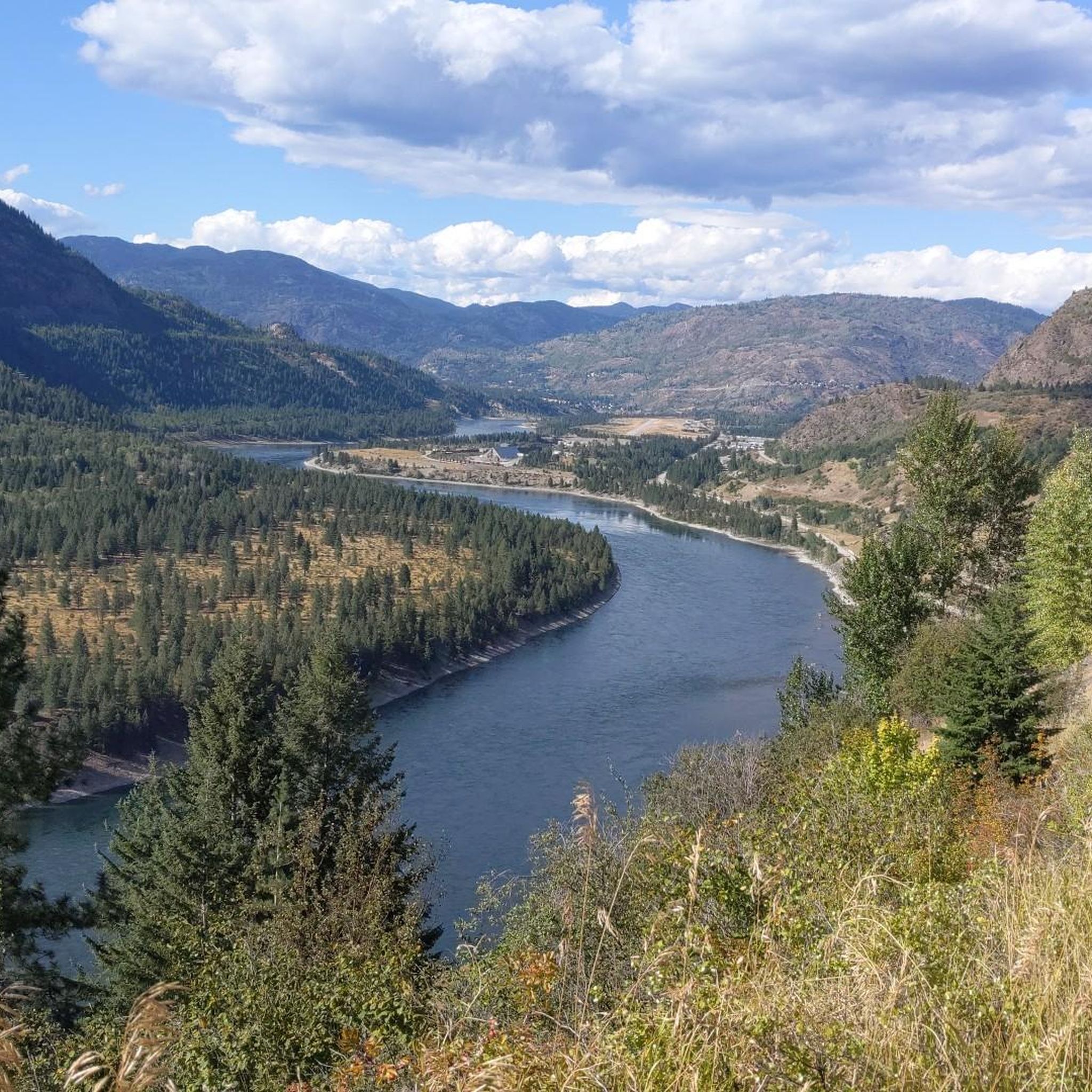
This exposed viewpoint along the Bluffs Trail looks out across the Columbia River Valley, with clear views over the city below, the Columbia River and the surrounding Rossland Range. From the rocky ridge, the forest drops away sharply toward the valley floor, creating one of the widest panoramas in the trail network. On especially clear days, distant peaks from the Seven Summits area are visible beyond the western ridgelines.
0
0
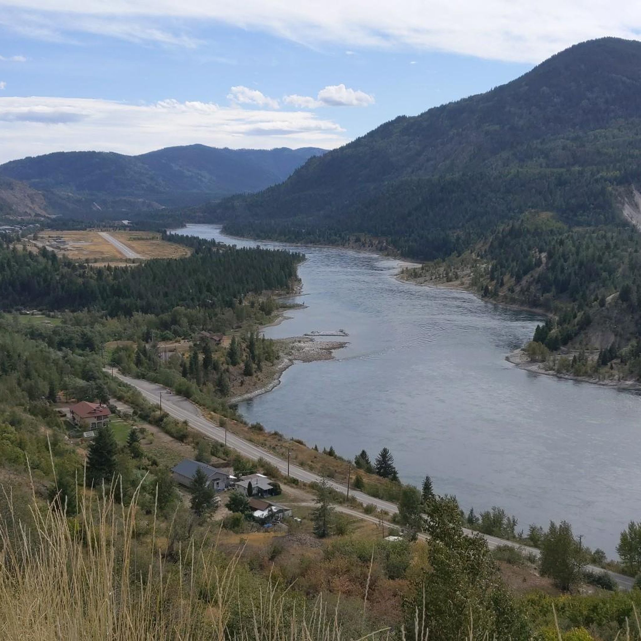
The Bluffs Trail is named for the exposed rocky bluffs and ridgelines that rise above the Columbia River Valley along this section of the network. After climbing through forest and switchbacks, the trail opens onto steep exposed viewpoints with wide sightlines across the valley, surrounding mountains and the industrial landscape below. The bluff sections are especially scenic near the ridge crest, where the forest falls away and the terrain becomes more open and rugged.
0
0
Miral Heights combines forested ridgelines with exposed bluff viewpoints overlooking the Columbia River Valley and surrounding mountain ranges. Part of a larger multi-use trail network, the area mixes shaded woodland trails with rocky lookouts that open onto wide views across the valley below. Several viewpoints along the ridge offer especially good sightlines toward the Rossland Range on clear days.
0
0

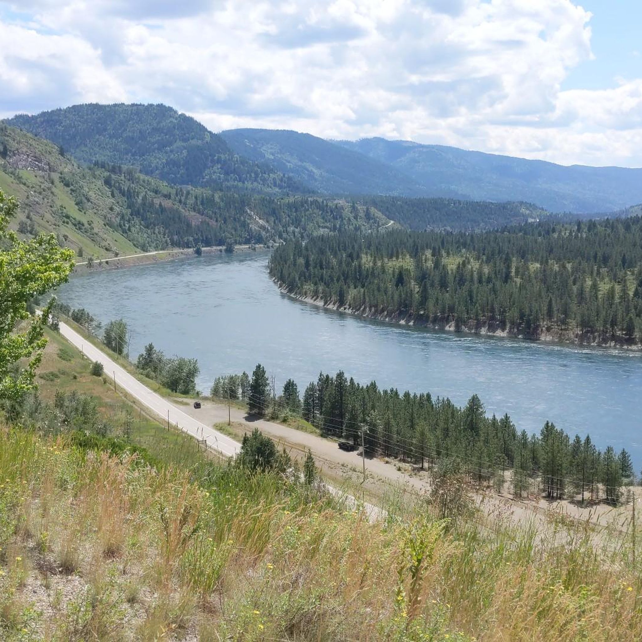
From here you can access the short Waldie Island Trail. Though only 1.5 kilometres long, the trail takes you through prime Great Blue Heron habitat, and if you're lucky you'll have a close encounter of the feathered kind.
1
0
The Waldie Island Trail is a scenic 1.5-kilometer path along the Columbia River in Castlegar, blending local history with a vital riparian ecosystem. As a non-motorized, multi-use route, it’s a favorite for hikers, dog walkers, and cyclists, though pups must remain on a leash to protect the sensitive environment. The trail’s standout feature is its proximity to the Waldie Island Heron Reserve, a crucial sanctuary for Great Blue Heron. By sticking to the marked paths and keeping noise down, visitors can enjoy a rare, up-close look at these majestic birds in their natural habitat.
0
0

The campground is pretty, well-maintained, and quiet in the evenings. Bathrooms are clean and the sites are spacious and secluded, and each features a picnic table and fire ring. As of 2026, sites are $25 per party per night.
0
0
The beaches here are popular with families and dogs, and there are a few to choose from here along the shore of the east lake. This one features a playground near the water. An easy doubletrack trail winds around the shoreline between the different beach areas.
0
0
There is a map at the trailhead and plenty of parking. This is the main access point for the lake, though there are also a few smaller lots by the campground and main road.
0
0
Frequently Asked Questions
What kind of terrain can I expect when hiking in Area B (Lower Columbia/Old Glory)?
Area B offers a diverse range of terrain, from rugged mountainous landscapes to dense old-growth forests and serene alpine meadows. You'll encounter significant elevation changes, particularly on trails leading to higher peaks like Old Glory Mountain, and may cross creeks via bridges. Lower sections often feature thick ferns and large trees, while higher elevations open up to expansive views.
Are there any easy hiking trails suitable for beginners or a relaxed walk?
Yes, there are several easier options. For a more relaxed experience, consider the Nancy Greene Provincial Park loop from Nancy Greene Provincial Park. This 2.3-mile (3.8 km) trail leads through parkland and is often completed in under an hour, making it ideal for a gentle stroll.
What are some notable landmarks or points of interest I can see along the trails?
The region is rich in natural beauty and historical significance. On the summit of Old Glory Mountain, you can find the ruins of a decommissioned fire lookout cabin that served as a weather station. For other points of interest, consider exploring the Columbia and Western Rail Trail, or visiting the impressive Brilliant Suspension Bridge nearby.
Are there any circular hiking routes in Area B (Lower Columbia/Old Glory)?
Yes, circular routes are available. A prominent example is the challenging Old Glory Mountain loop from Black Jack Cross Country Ski Club. This route can be done as a loop, often utilizing the steeper Plewman Trail for ascent and the gentler Old Glory – Seven Summits Trail for descent, offering continuous mountain views.
What is the best time of year to go hiking in this region?
The fall, particularly October, is an excellent time to visit, as the mountain views are especially vibrant with autumn colors. The high country often features alpine meadows bordered by wildflowers, adding to the scenic beauty throughout the warmer months. However, some trails, especially at higher elevations, may be challenging or inaccessible in winter due to snow.
Are there any family-friendly hiking options in Area B?
For families looking for an accessible and enjoyable outing, the Nancy Greene Provincial Park loop from Nancy Greene Provincial Park is a great choice. Its shorter distance and minimal elevation gain make it suitable for all ages.
What do other hikers enjoy most about the trails in Area B (Lower Columbia/Old Glory)?
The trails in Area B are highly rated by the komoot community, with an average score of 5.0 stars from 7 reviews. Hikers frequently praise the continuous mountain views, especially from higher peaks like Old Glory Mountain, and the diverse landscapes that include old-growth forests and alpine meadows.
Are there any hikes that offer particularly stunning panoramic views?
Absolutely. The hike to the summit of Old Glory Mountain, such as the Old Glory Mountain loop from Black Jack Cross Country Ski Club, is renowned for its stunning, continuous mountain views. From the summit, you can see the Monashee Mountains, Valhalla Ranges, and even Washington's Kettle River and Selkirk Ranges.
How many hiking trails are available in Area B (Lower Columbia/Old Glory)?
There are 9 hiking trails available in Area B (Lower Columbia/Old Glory) that have been recorded and shared by the komoot community. These range from easy park loops to challenging summit ascents.
Are there any moderate trails for hikers looking for a bit more challenge than an easy walk?
Yes, for those seeking a moderate challenge, the Abercrombie Mountain Trail is a great option. This 6.9-mile (11.1 km) path features notable elevation gain through mountainous terrain, offering a rewarding experience without being overly strenuous.
Can I find any historical sites or ruins while hiking in the area?
Yes, the region has some historical interest. The summit of Old Glory Mountain features a decommissioned fire lookout cabin that operated as a weather station from the 1940s to the 1960s, with visible ruins. Additionally, the Shields Station Site is another historical point of interest nearby.
Most popular routes around Area B (Lower Columbia/Old Glory)
Most popular attractions around Area B (Lower Columbia/Old Glory)

Get inspired with the komoot mobile app


Explore more
Browse the best Hikes in other regions.
