RoutesPlannerFeaturesUpdates
App
Login or Signup
Get the App
Login or Signup
Routes
Cycling routes
Canada
British Columbia

Area B (Lower Columbia/Old Glory)

Routes
Cycling routes
Canada
British Columbia

Area B (Lower Columbia/Old Glory)

The best cycling routes around Area B (Lower Columbia/Old Glory)

4.5

(2)

25

riders

3

rides

Touring cycling routes around Area B (Lower Columbia/Old Glory) traverse a landscape characterized by mountains, dense forests, and scenic river valleys. The region features varied terrain, from gradual rail trails to routes with significant elevation gain. The Columbia River is a prominent natural feature, offering scenic vistas along many paths.

Best touring cycling routes around Area B (Lower Columbia/Old Glory)

  • The most popular touring cycling route is View of the Columbia River – Old Railway Trestle Bridge loop from Hugh…

Last updated: November 15, 2026

4.5

(2)

9

riders

#1.

Old Railway Trestle Bridge – View of the Columbia River loop from Hugh Keenleyside Dam

25.1km

01:48

360m

360m

Moderate bike ride. Good fitness required. Mostly paved surfaces.

Navigate with deviceSend to Phone
Save
Moderate

Hard bike ride. Very good fitness required. Mostly paved surfaces.

Hard
guide_signup
Let us show you the way with the komoot mobile app
With a free komoot account, you can easily find, customize, and navigate endless outdoor adventures.
Sign up for free

Hard bike ride. Very good fitness required. Mostly paved surfaces.

Hard

Hard bike ride. Very good fitness required. Mostly paved surfaces.

Hard

Our route recommendations are based on thousands of hikes, rides, and runs completed by other people on komoot.

Start today with a free account

Your next adventure awaits.

Login or Signup

Popular around Area B (Lower Columbia/Old Glory)
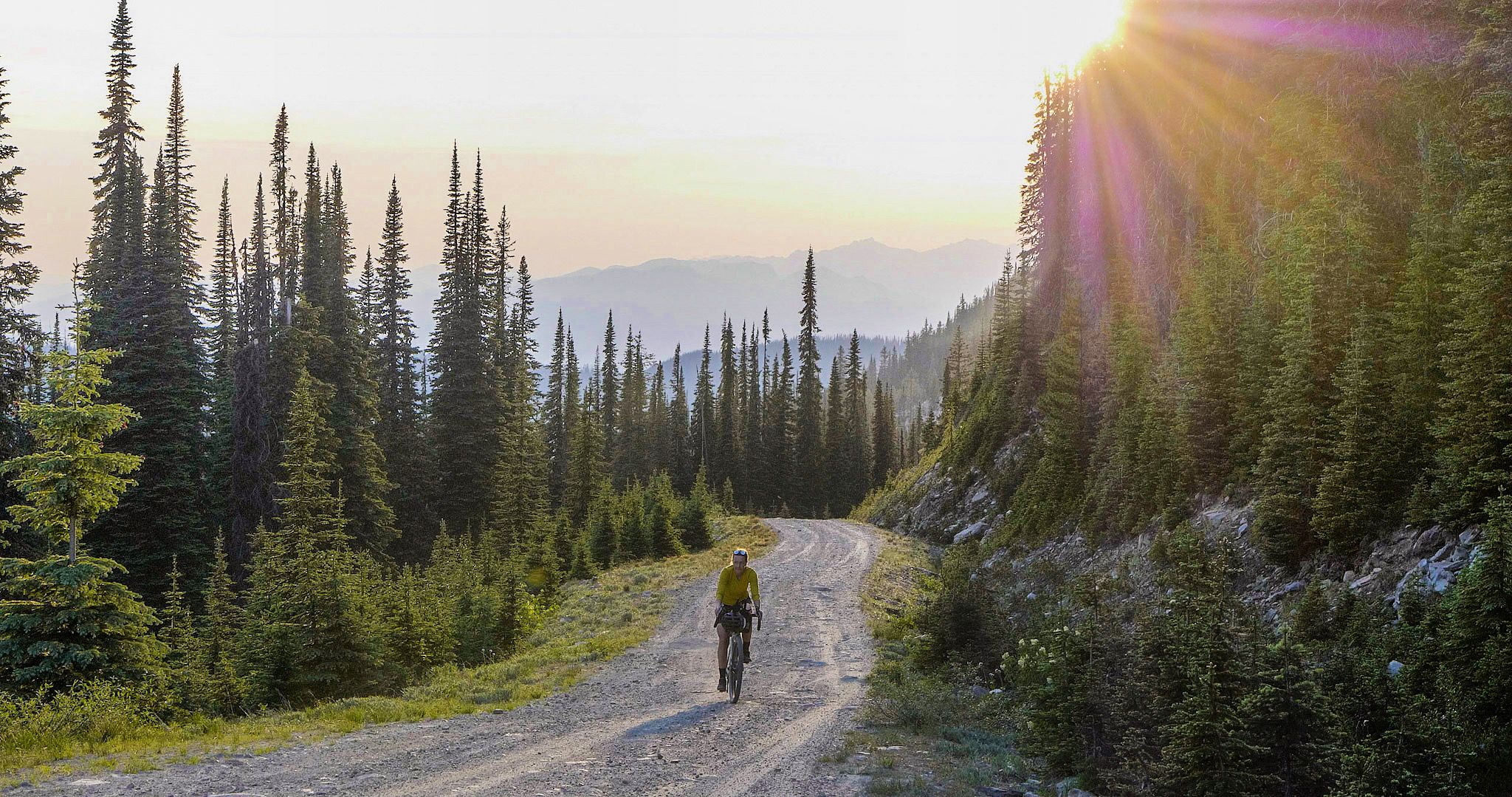
BC Epic 1000

Unforgettable MTB Adventures – IMBA Epic Trails in USA and Canada

Hiking around Area B (Lower Columbia/Old Glory)
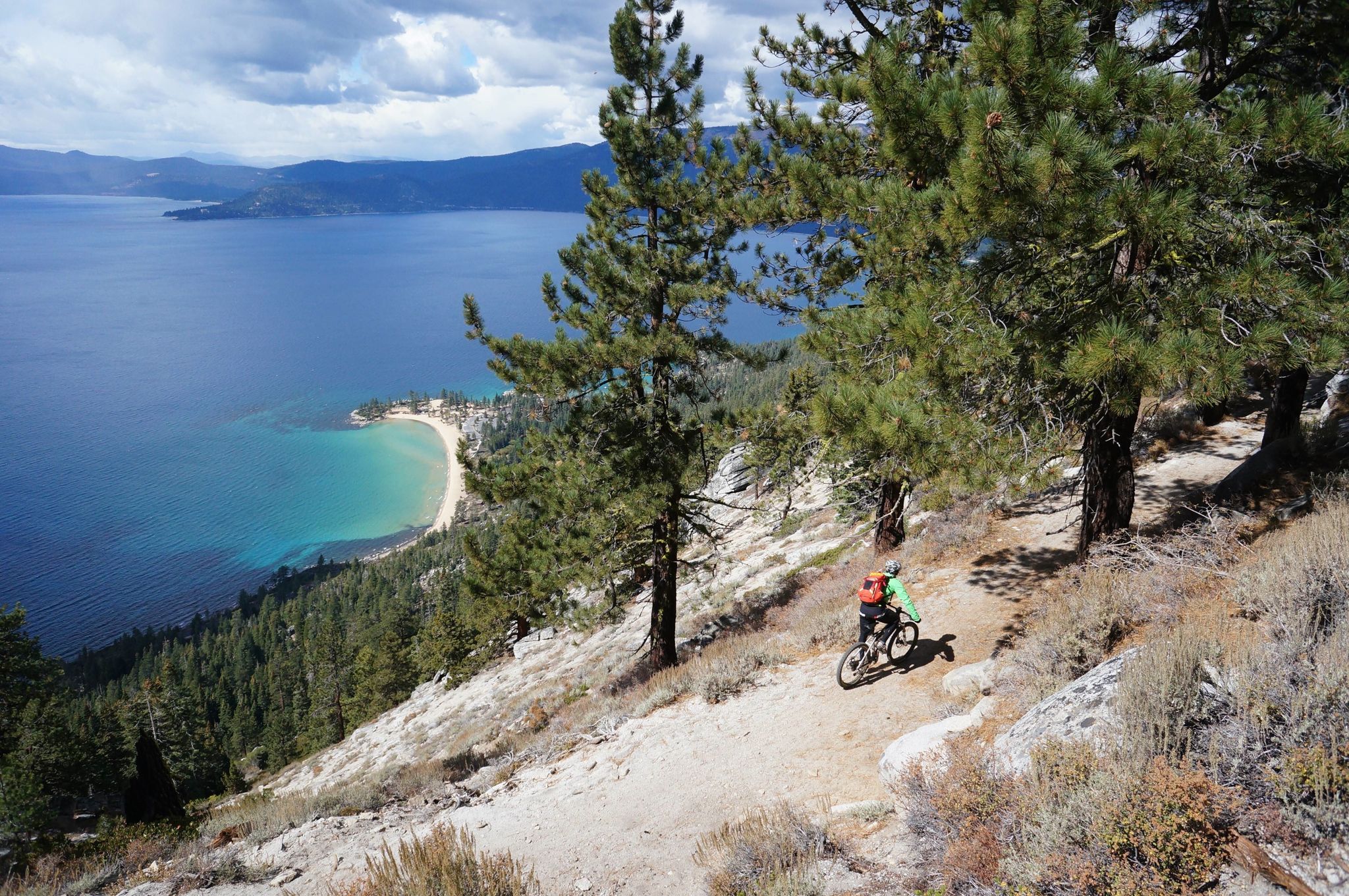
MTB Trails around Area B (Lower Columbia/Old Glory)
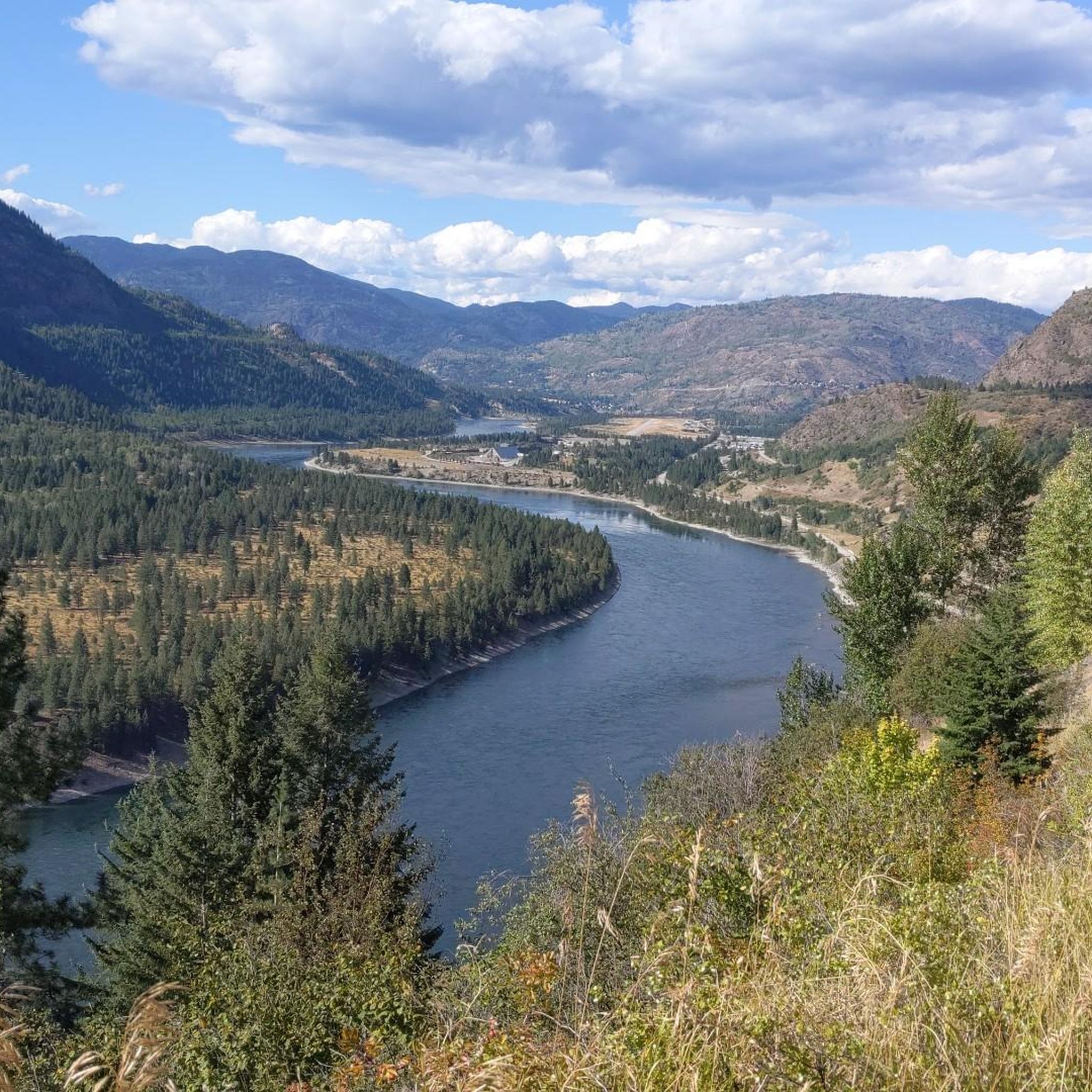
Road Cycling Routes around Area B (Lower Columbia/Old Glory)
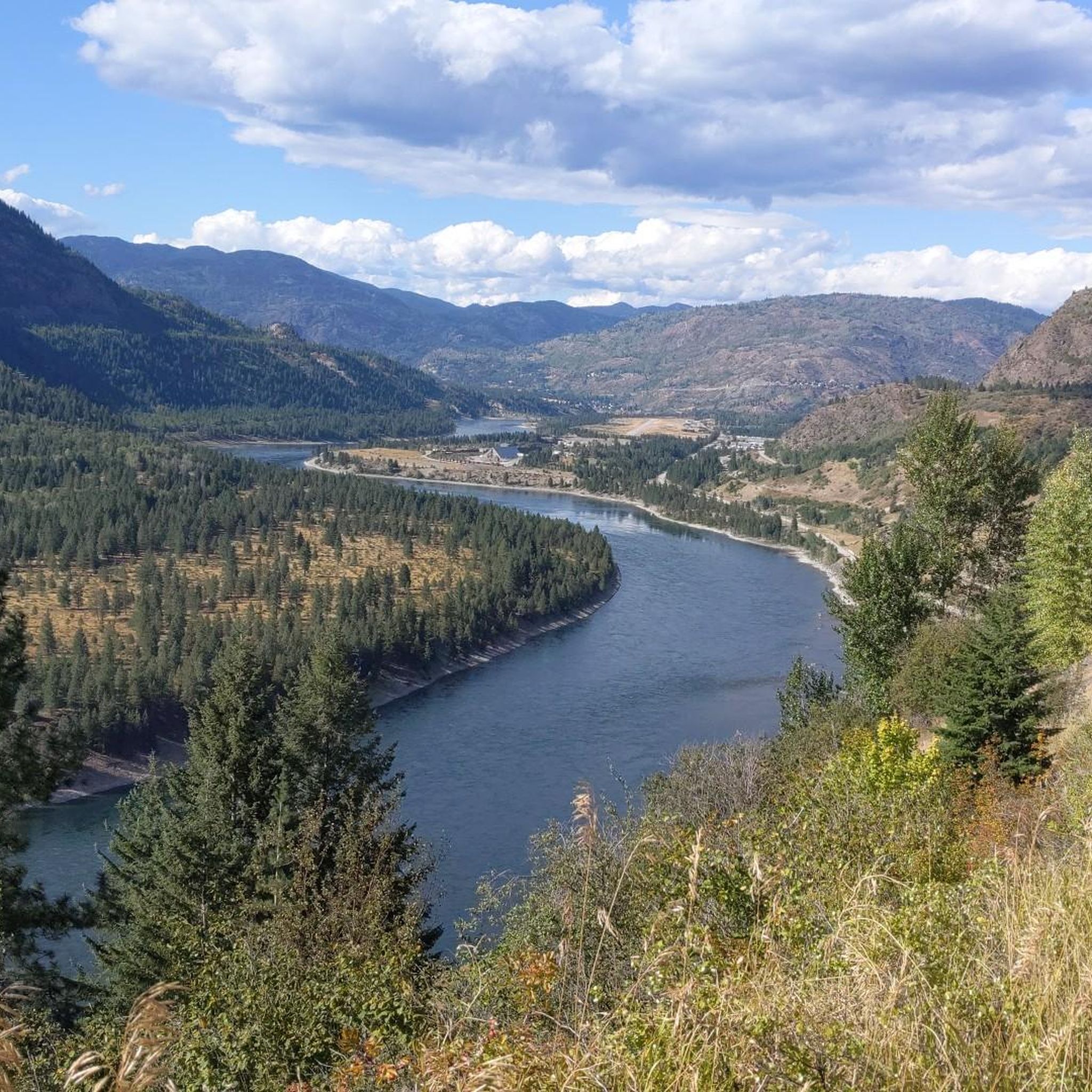
Running Trails around Area B (Lower Columbia/Old Glory)
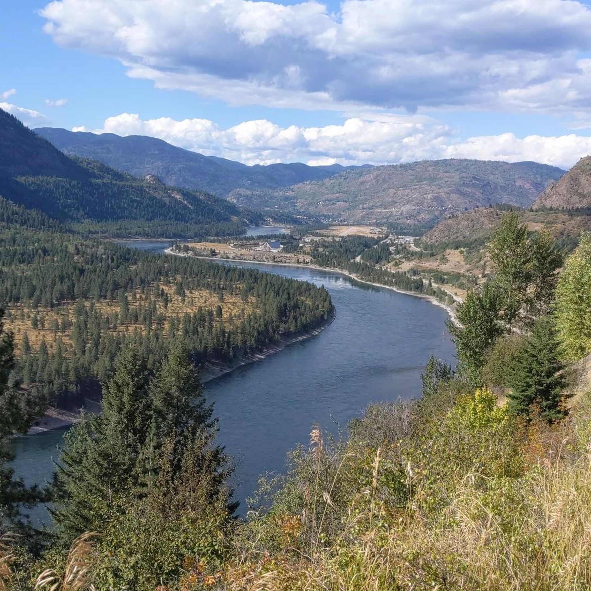
Other adventures around Area B (Lower Columbia/Old Glory)
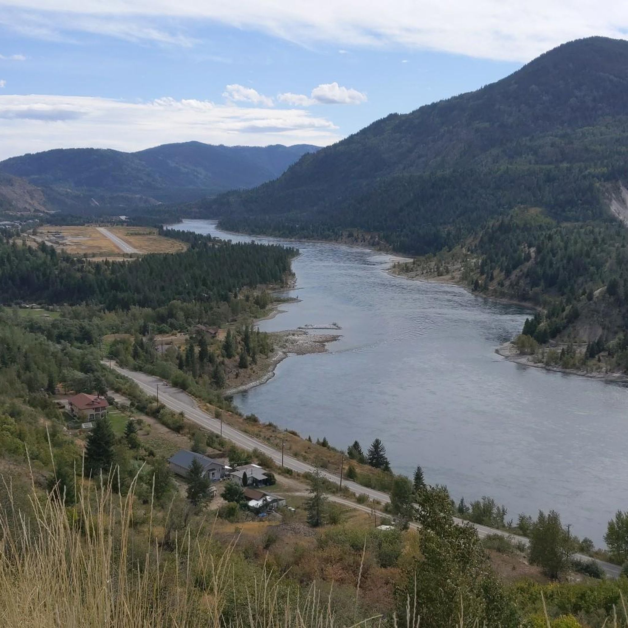
BC Epic 1000

Cycling Collection by

Jenny Tough

Tips from the Community

Marek Ziółkowski 🇵🇱
June 17, 2025, Blewett Road Skeleton and Dam View

Nice and calm scenery road

0

0

A quiet, scenic (but hilly) alternative to the highway.

0

0

Rob Bernhardt
September 1, 2023, Pass Creek Road

A beautiful alternative to the highway to Nelson

0

0

Rob Bernhardt
September 1, 2023, Frog Peak Cafe

A mandatory stop when passing through!

0

0

Another station turned shelter. A small creek ran next to this one, take the opportunity to refill water.

0

0

D'Arcy T
July 7, 2023, C&W Trestle 2

Looking back on the next trestle we crossed while climbing the C&W towards Christina Lake

0

0

Old rail station turned shelter on the C&W

0

0

Gradual climbing on the C&W.

0

0

Frequently Asked Questions

How many touring cycling routes are available in Area B (Lower Columbia/Old Glory)?

There are several touring cycling routes in Area B (Lower Columbia/Old Glory) for you to explore. The komoot community has mapped out over 3 routes, offering a variety of experiences from moderate to difficult.

Are there any easy or family-friendly touring cycling routes in the Lower Columbia area?

While many routes in the immediate guide are moderate to difficult, the broader Kootenay Boundary region, including the Lower Columbia, is known for its accessible rail trails. The Columbia and Western Rail Trail, for instance, offers a unique cycling experience on a disused railway line, providing gradual grades suitable for a more relaxed ride. For a moderate loop, consider the View of the Columbia River – Old Railway Trestle Bridge loop from Hugh Keenleyside Dam.

What kind of scenery can I expect on touring cycling routes in Area B?

Touring cycling in Area B (Lower Columbia/Old Glory) offers diverse and appealing scenery. You'll traverse majestic mountains, lush forests, and scenic river valleys, with the Columbia River being a prominent natural feature providing many scenic vistas. Routes often feature expansive views of the Columbia River valley and pass by historical elements like old railway trestle bridges.

Are there any challenging touring cycling routes for experienced riders?

Yes, Area B offers several challenging routes. For experienced touring cyclists, options like the Old Railway Trestle Bridge – View of the Columbia River loop from West Kootenay Regional Airport present substantial elevation gain over 128 km. Another difficult option is the Frog Peak Cafe – Official Start of the Route loop from West Kootenay Regional Airport, which covers over 104 km with significant climbs.

What are some interesting landmarks or attractions to see along the touring cycling routes?

Along your touring cycling routes, you can encounter several points of interest. The Columbia and Western Rail Trail is a significant attraction itself. You might also pass by the historic Brilliant Suspension Bridge or the Shields Station Site. The routes often offer views of settlements like Northport and Castlegar on the Columbia River.

What is the best time of year for touring cycling in Area B (Lower Columbia/Old Glory)?

The Kootenay Boundary region, including Area B, is generally recognized for its cycling amenities from spring through fall. While specific recommendations for Area B are not available, the presence of vibrant wildflowers on Old Glory Mountain suggests spring and early summer are beautiful. Always check local weather conditions before heading out.

Are there circular touring cycling routes available?

Yes, all the featured touring cycling routes in this guide are designed as loops. For example, you can enjoy the moderate View of the Columbia River – Old Railway Trestle Bridge loop from Hugh Keenleyside Dam, or for a more challenging ride, the Old Railway Trestle Bridge – View of the Columbia River loop from Arrow Lakes Generating Station.

What do other touring cyclists say about the routes in Area B (Lower Columbia/Old Glory)?

The touring cycling routes in Area B (Lower Columbia/Old Glory) are highly rated by the komoot community, with an average score of 4.5 stars from over 2 reviews. Cyclists often praise the varied terrain, from river valleys to mountain backdrops, and the unique experience of riding along former rail lines.

Are there any specific considerations for cycling on rail trails in the region?

When cycling on rail trails like the Columbia and Western Rail Trail, it's advisable to carry a flashlight, as some sections include tunnels. These trails are generally well-maintained by committees and volunteers, often featuring camp and picnic areas at former railway station sites, which can be great for bikepacking.

Is public transport available to access touring cycling routes in Area B?

While specific public transport links directly to trailheads are not detailed, the region encompasses communities like Castlegar, which hosts the West Kootenay Regional Airport. This suggests potential access points, but it's recommended to check local transit options or consider starting points that offer parking for cyclists.

What should I wear for touring biking in Area B, especially in spring?

Given the diverse landscape with mountains and river valleys, weather can be variable. In spring, it's wise to dress in layers to adapt to changing temperatures. Consider waterproof or water-resistant outer layers, as well as breathable base layers. Always check the forecast before your ride.

Most popular routes around Area B (Lower Columbia/Old Glory)

Hiking around Area B (Lower Columbia/Old Glory)

Most popular attractions around Area B (Lower Columbia/Old Glory)

Places to see

Store rating

Get inspired with the komoot mobile app

With a free komoot account, you can easily find, customize, and navigate endless outdoor adventures.

or

Join komoot Now
Store rating

Explore more

Browse the best Cycling routes in other regions.

VancouverCoast MountainsRocky MountainsElectoral Area AVictoriaStanley Park National Historic SiteSaanichArea C (Pemberton Valley/Mount Currie/D'Arcy)Monashee MountainsVancouver IslandIona Beach Regional ParkVictoria Harbour Migratory Bird SanctuaryOkanagan-Similkameen DMetro Vancouver Regional ParksCypress Provincial ParkGaribaldi Provincial ParkGrouse Mountain Regional ParkColony Farm Regional ParkCapilano WatershedEast Central Okanagan Electoral AreaBurnabyCentral SaanichCoquitlam WatershedEagle Mountain Recreation SiteArea D (Elaho/Garibaldi)RichmondStawamus Chief Provincial ParkOkanagan LakeSurrey Bend Regional ParkShowh Lakes-Ancient Cedars Trail Recreation SiteArea E (Naramata/Greyback)Pacific Spirit Regional ParkNorth SaanichSelkirk MountainsDeas Island Regional ParkBuntzen Lake Recreation AreaBurnaby Lake Regional ParkWhistler Interpretive ForestMaple RidgeAlice Lake Provincial ParkBrohm Lake Day Use Recreation SiteBlackcomb Glacier Provincial ParkPitt MeadowsȽáu,Welṉew̱/John Dean Provincial ParkTantalus Provincial ParkCapilano River Regional ParkFraser Islands Regional Park ReserveTynehead Regional ParkBrackendale Eagles Provincial ParkCapital GCodd Wetland Ecological Conservancy AreaMinnekhada Regional ParkArea D (Trinity/West Creighton)Pitt LakeNorth Okanagan BBrohm Lake Interpretive Forest TrailsKalamalka Lake Provincial ParkDeltaPinecone Burke Provincial ParkSatellite Channel Ecological ReserveArea B (Shawnigan Lake)Oak Bay Islands Ecological ReserveCentral Okanagan JKanaka Creek Regional ParkCowichan Valley GFraser River Delta -- RamsarSurreyLangleyArea A (Upper Flathead/Elk Valley)Boundary Bay Regional ParkSea To Sea Regional ParkNorth CowichanSooke Hills Wilderness Regional ParkNanaimoGowlland Tod Provincial ParkSalt Spring Island Electoral AreaMount Tuam Ecological ReserveBurns Bog Ecological Conservancy AreaPurcell MountainsArea C (Moyie/Bull River)Burnaby Mountain Conservation AreaComox Valley B (Lazo North)Bear Creek Provincial ParkSkaha Bluffs Provincial ParkArea E (Chilliwack River Valley)Ayum Creek Regional Park ReserveLower Seymour Conservation ReserveK'Ómoks Royston LandsUpper Trent River WoodlandsArea C (Inkaneep/Willowbrook)Mount Maxwell Ecological ReserveArea G (Deroche/Dewdney/Sumas Mountain)Sooke Mountain Provincial ParkAbbotsfordLynn Headwaters Regional ParkCrown Land ReserveOkanagan Mountain Provincial ParkKoksilah River Provincial ParkMyra-Bellevue Provincial ParkMount Seymour Provincial ParkBlaney Bog Regional Park ReserveUbc Malcolm Knapp Research ForestMount Fernie Provincial ParkTəmtəmíxʷtən/Belcarra Regional ParkArea B (Discovery Islands/Mainland Inlets)Area A (Baynes Sound)Nanaimo GArea P (Rivers and the Peaks)Mount Maxwell Provincial ParkSeal Bay Regional Nature ParkCowichan Valley FAlaksen National Wildlife AreaArea C (Arrowsmith-Benson)Burgoyne Bay Provincial ParkNanaimo EGoldstream Provincial ParkArea D (Oyster Bay/Buttle Lake)Cougar Canyon Ecological ReserveGeorge C. Reifel Migratory Bird SanctuaryRobert'S Lake Regional ParkStephens Coyote Ridge Regional ParkVedder Mountain Interpretative ForestCultus Lake Provincial ParkNorth Cowichan Municipal Forest ReserveArea B (Lake Koocanusa)Rathtrevor Beach Provincial ParkArea C (Puntledge/Black Creek)Sumas Mountain Regional ParkArea F (Trout Creek Valley)Area F (Alberni Highway)Cowichan River Provincial ParkArea A (Kicking Horse/Kinbasket Lake)Area J (Copper Desert Country)Tsable Lakes WoodlandsHillkeep Regional ParkGlen Valley Regional ParkArea E (Saint Mary/Skookumchuck)Fraser River Ecological ReserveArea F (Columbia Lake/Windermere Lake)Woodley Range Ecological ReserveEllison Provincial ParkArea G (Upper Similkameen/Hedley)Mill Farm Regional Park ReserveFraser Valley DCrippen Regional ParkGolden Ears Provincial ParkBrandywine Falls Provincial ParkBeaver Lodge Forest LandsArea L (Grasslands)Ruckle Provincial ParkArea G (Forster Creek/Mount Assiniboine)Cowichan LakeArea I (Youbou / Meade Creek)Area A (Osoyoos Lake)Kootenay Boundary EWindermere Lake Provincial ParkKootenay National ParkArea C (Sasquatch Country)Upper Puntledge River WoodlandsArea H (Lighthouse Country)Read Island Provincial ParkColumbia National Wildlife AreaAlberni-ClayoquotArea A (Kyuquot/Nootka/Sayward)Area F (Willow River/Upper Fraser)Helliwell Provincial ParkBoyle Point Provincial ParkMount Geoffrey Escarpment Provincial ParkHarrison LakeArea B (Shelter Bay/Mica Creek)Mt. Macpherson Cross-Country Trails Recreation SiteMount Revelstoke National ParkMount Revelstoke National ParkArea B (Cawston/Lower Similkameen)Area E (Balfour/Cottonwood Lake)Area F (McConnell Creek/Hatzic Prairie)Pacific Rim National Park Reserve - Long Beach UnitSpallumcheenBodega Ridge Provincial ParkElk Falls Provincial ParkWidgeon Marsh Regional Park ReserveSilver Star Provincial ParkSunshine Coast Regional DistrictArea H (The Slocan Valley)Area C (Chilako River/Nechako)Area D (Tabor Lake/Stone Creek)Campbell Valley Regional ParkWest Arm Provincial ParkMount Gardner Recreation SiteArea J (Lower Arrow/Columbia)Area G (Salmo Valley)Liumchen Ecological ReserveNairn Falls Provincial ParkTrinity Ricardo Trail Recreation SiteBeaufort East WoodlandsDenman Island Provincial ParkMt Begbie Area Recreation SiteMount Begbie Recreation SiteBlue Mountain Recreation SiteYoho National ParkArea A (Malaspina/Toba)Area C (Lois Lake/Saltery Bay)Area B (Paradise Valley)South Star Recreation TrailHazelton MountainsSkeena MountainsArea A (Hudson Bay Mountain)Mount Richardson Provincial Park

Nearby adventure guides

Things to Do in Selkirk Forest Products Timber Harvesting Lease

background

Get ready to conquer new peaks

Sign up for Free
Explore
RoutesRoute plannerFeaturesRedeem a voucherHikesMTB TrailsRoad cycling routesBikepackingSitemap
Download the app
Follow Us on Socials

© komoot GmbH

Privacy Policy