The best running trails around Embalse del Quiebrajano
4.0
(1)
58
runners
4
runs
Jogging routes around Embalse del Quiebrajano traverse a landscape characterized by rugged relief, picturesque valleys, and unique rock formations. The area features diverse natural vegetation, including pine forests, Mediterranean scrub, and olive groves, alongside the turquoise waters of the reservoir. This region, part of the Parque Periurbano de la Sierra de Jaén, offers varied terrain with significant elevation changes suitable for different running abilities.
Best jogging routes around Embalse del Quiebrajano
- The most popular jogging route is Cruz de la Calamba Refuge – Cruz de la Chimba Refuge loop from Cerro Montañes, a 3.8 miles (6.2 km) trail that takes 49 minutes to complete. This route offers a moderate challenge through the area's natural environment.
- Another top favourite among local runners is Cruz de la Chimba Trail, a difficult 6.1 miles (9.8 km) path. It features varied terrain and elevation, providing a demanding running experience.
- Local runners also love the View of Quiebrajano Reservoir – Otíñar Castle loop from Cerro Veleta, an 11.1 miles (17.8 km) trail leading through scenic valleys and offering views of the reservoir, often completed in about 1 hour 56 minutes.
- Jogging around Embalse del Quiebrajano is defined by rugged hills, pine forests, and the distinctive turquoise waters of the reservoir. The network offers options for different ability levels, from moderate paths to more challenging routes with significant climbs.
- The routes in Embalse del Quiebrajano are highly rated by the komoot community with an average score of 4.0 stars from 1 review. More than 50 runners have used komoot to explore Embalse del Quiebrajano's varied terrain.
Last updated: July 1, 2026
8
runners
Moderate run. Good fitness required. Mostly paved surfaces. Suitable for all skill levels.
4
runners
9.79km
01:19
420m
430m
Jog the difficult 6.1-mile Cruz de la Chimba Trail through a coffee plantation, gaining 1393 feet with views of the Santa Ana mountains.

Sign up for free
4.0
(1)
10
runners
17.8km
01:57
350m
350m
Hard run. Very good fitness required. Mostly paved surfaces. Suitable for all skill levels.
5
runners
47.1km
07:24
2,570m
2,570m
Hard run. Very good fitness required. Mostly paved surfaces. Suitable for all skill levels.
28
runners
12.4km
01:34
570m
570m
Hard run. Very good fitness required. Mostly paved surfaces. Suitable for all skill levels.
Our route recommendations are based on thousands of hikes, rides, and runs completed by other people on komoot.
Start today with a free account
Your next adventure awaits.
Login or Signup
Tips from the Community

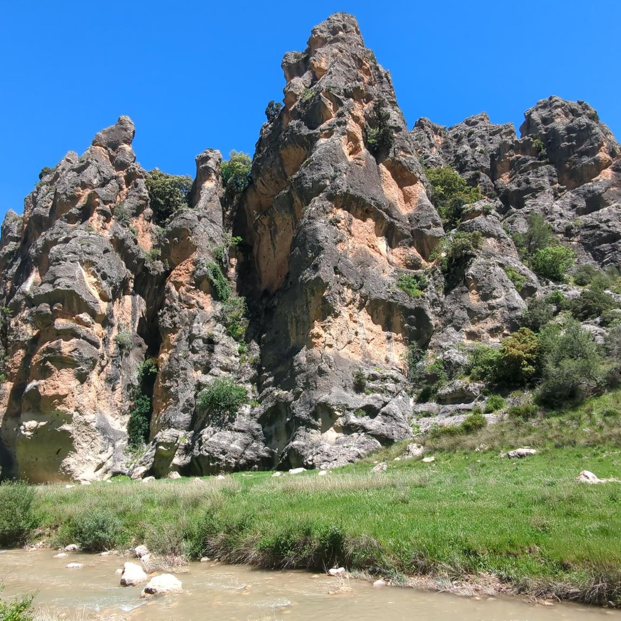
From this viewpoint, you can contemplate the impressive views of the Quiebrajano valley, the Otiñar, and the horizon can be seen: the Jabalcuz mountain range, Jaén, and the majestic La Pandera mountain range.
1
0

Valdepeñas de Jaén is a charming town, nestled between the impressive mountain ranges of the Sierra de la Pandera to the north and the Sierra de Alta Coloma to the southeast. The town was founded in 1539 and has a typical Renaissance townscape, characterized by a checkerboard pattern. In 1558, it received the status of an independent town. Valdepeñas de Jaén offers numerous sights, such as the Ermita de Chircales, a small chapel that reflects the region's spiritual history with religious paintings and the cave of a hermit. Another highlight is the Molino de Harina, a still-functioning water mill that offers a fascinating insight into traditional flour production. Nature lovers can discover the Chorreras del Río Vadillo, a series of natural waterfalls formed by the Vadillo River and surrounded by paths offering beautiful views. The region is also a paradise for outdoor activities such as cycling. The lush forests and picturesque landscape offer ideal conditions for cyclists who want to explore the beautiful Sierra Sur. A culinary experience is offered by the restaurant El Quejigo del Carbón, located on a hill, which is known not only for its excellent cuisine but also for the breathtaking view of the surrounding landscape. Valdepeñas de Jaén is thus the perfect place to combine history, nature, culture, and sporting activities.
1
0


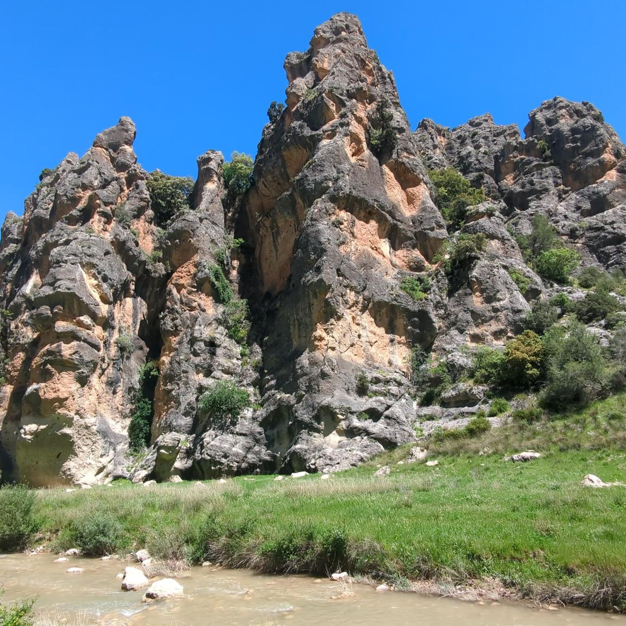
The Quiebrajano reservoir is located about 25 km from the capital, and is used to store water for human consumption, which is why bathing or the use of boats is not permitted. Currently you cannot access the viewpoint without knowing the reason for such prohibition.
3
0
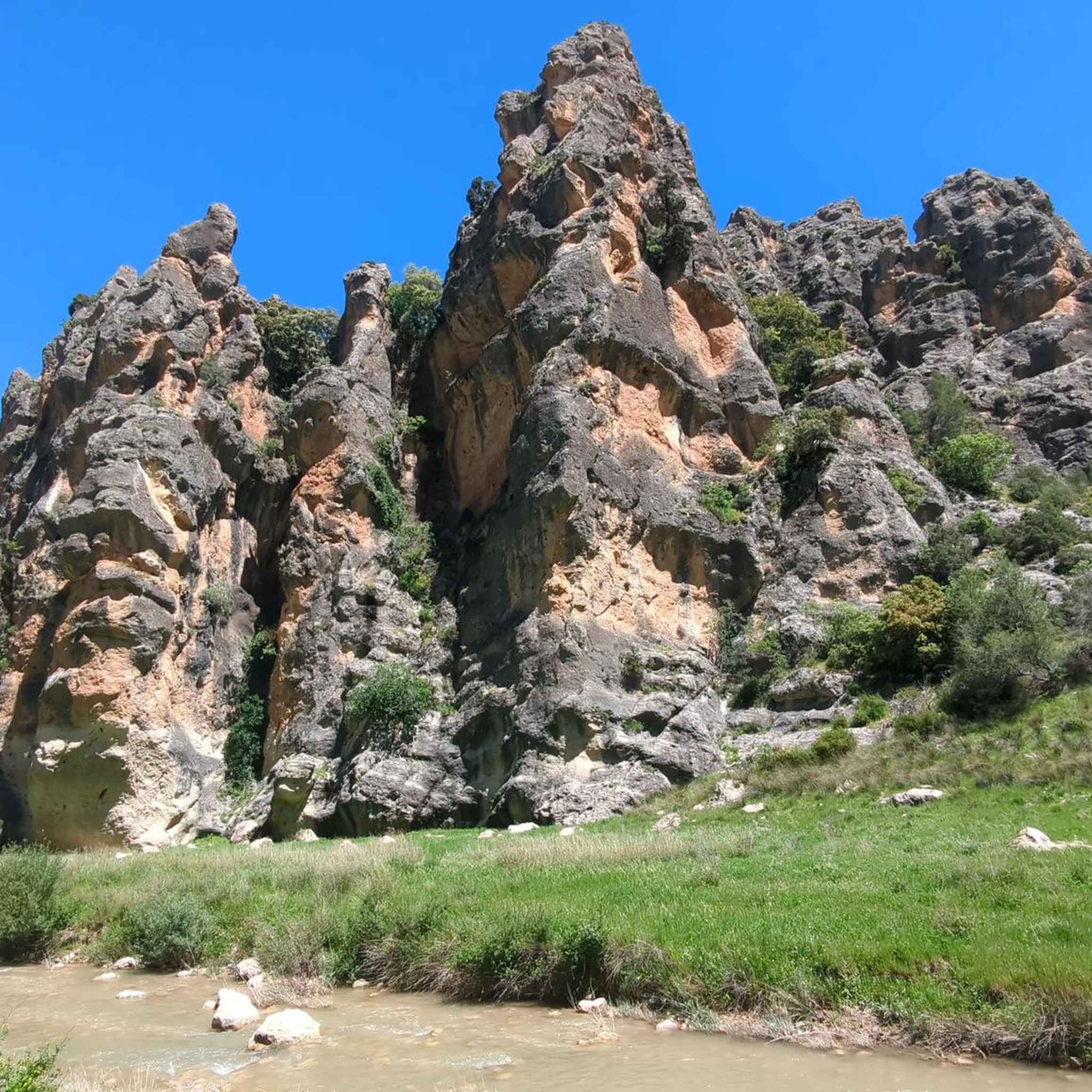
The Otiñar watchtower is a construction intended to control the border crossings between Catholic and Muslim Spain, through the valley of the Quiebrajano River. Today the tower and much of the original construction from the 12th-14th centuries are preserved in good condition.
3
0
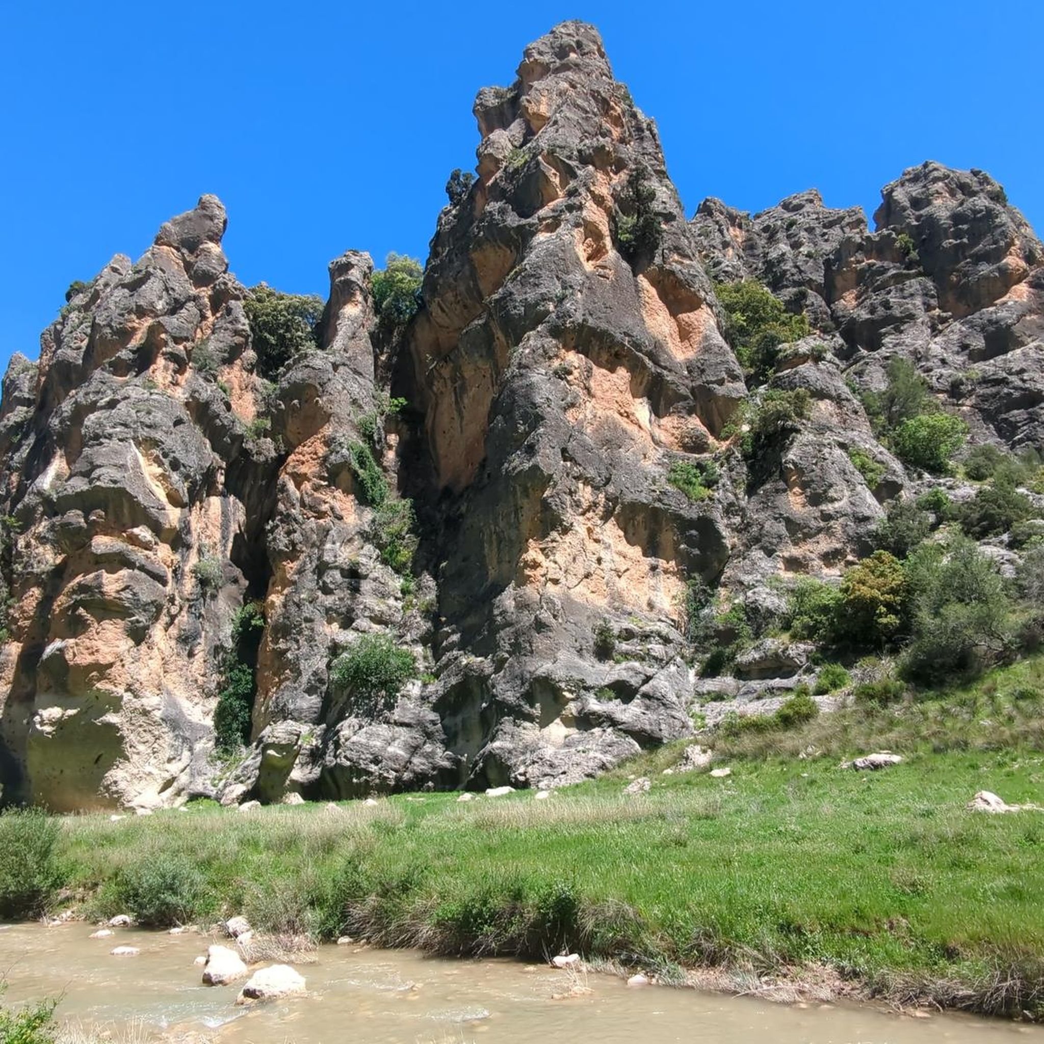
It is a structure built to provide elevation and enjoy the views of the Quiebrajano dam. It has usually been closed to the public for a few months, but fortunately at that time the access doors were open.
12
0
It is the third and longest tunnel that crosses part of the mountain where the Quiebrajano dam is located, and it is drilled into the rock of the same mountain.
12
0
It is the second of the three tunnels that give access to the Quiebrajano reservoir
12
0
Frequently Asked Questions
How many running routes are available around Embalse del Quiebrajano?
There are several running routes available around Embalse del Quiebrajano, offering diverse experiences. Currently, you can explore 4 distinct routes, ranging from moderate to difficult, perfect for those looking for a challenge amidst stunning scenery.
What kind of terrain can I expect on the jogging trails near Embalse del Quiebrajano?
The terrain around Embalse del Quiebrajano is characterized by its rugged and steep relief, with picturesque valleys and unique rock formations. You'll encounter varied surfaces, from riverbeds to higher elevations, often traversing through pine forests, Mediterranean scrub, and olive groves. Expect a mix of natural paths and some challenging uphill sections, especially on routes like the one that follows the path of the annual "Subida al Pantano del Quiebrajano" race.
Are there running routes suitable for beginners or those looking for an easier jog?
While many routes in the area are rated as difficult, offering significant elevation gains, there is at least one moderate option. For example, the Cruz de la Calamba Refuge – Cruz de la Chimba Refuge loop from Cerro Montañes provides a challenging yet manageable experience with a distance of just over 6 km and moderate elevation changes. It's always good to check the route details to match your fitness level.
What natural features or landmarks can I see while running near Embalse del Quiebrajano?
Runners can enjoy breathtaking natural beauty and notable landmarks. You'll encounter the turquoise waters of the reservoir itself, unique rock formations along the Valdearazo River, and expansive mountain views. Key attractions include the impressive dam, the scenic Mirador Vítor Carlos III offering panoramic vistas, and the intriguing "Isla del Quiebrajano" within the reservoir. The entire area is part of the "Parque Periurbano de la Sierra de Jaén," ensuring a preserved natural environment.
Are there any long-distance or challenging running routes for experienced athletes?
Absolutely. For experienced runners seeking a significant challenge, the Embalse del Quiebrajano area offers several difficult routes. The Collado del Pico la Llana – Otíñar Castle loop from Cerro Veleta is a particularly demanding option, stretching over 47 km with substantial elevation changes, providing an intense workout amidst spectacular scenery.
Can I find circular running routes in this area?
Yes, several routes are designed as loops, allowing you to start and finish at the same point. For instance, the View of Quiebrajano Reservoir – Otíñar Castle loop from Cerro Veleta offers a challenging 17.8 km circular run with stunning views of the reservoir and historical sites. Another option is the Cruz de la Calamba Refuge – Cruz de la Chimba Refuge loop from Cerro Montañes, a shorter, moderate loop.
What is the best time of year to go jogging around Embalse del Quiebrajano?
The Embalse del Quiebrajano area is beautiful year-round, but spring and autumn generally offer the most pleasant conditions for jogging. Temperatures are milder, and the natural vegetation, including pine forests and Mediterranean scrub, is vibrant. Summers can be hot, making early morning or late evening runs preferable, while winters are cooler but still offer crisp, clear days for outdoor activity.
What wildlife might I encounter on the trails?
The protected natural space around Embalse del Quiebrajano is home to diverse fauna. While jogging, you might spot wild boar, foxes, genets, and even wildcats. The area also hosts a small colony of mountain goats and various birds of prey, such as sparrowhawks and goshawks, soaring overhead. Maintaining a respectful distance and observing quietly will enhance your chances of a sighting.
Are there any particularly scenic running trails with great viewpoints?
Many trails offer incredible vistas due to the region's rugged relief. The View of Quiebrajano Reservoir – Otíñar Castle loop from Cerro Veleta, as its name suggests, provides excellent views of the reservoir. The Mirador Vítor Carlos III is a specific viewpoint offering spectacular panoramic views of the landscape and reservoir, often accessible from nearby trails. Routes that climb to higher elevations will consistently reward you with expansive mountain views.
What is the longest running route available in the Embalse del Quiebrajano area?
For those seeking endurance, the longest running route currently available is the Collado del Pico la Llana – Otíñar Castle loop from Cerro Veleta. This challenging trail spans an impressive 47 km, featuring significant elevation changes and offering a full day's adventure for well-prepared runners.
Are there any running routes that pass through or near historical sites?
Yes, some routes combine natural beauty with historical interest. The View of Quiebrajano Reservoir – Otíñar Castle loop from Cerro Veleta, for example, takes you past the historic Otíñar Castle, allowing you to combine your run with a glimpse into the region's past. The area's rich history is often intertwined with its natural landscapes.
Most popular routes around Embalse del Quiebrajano

Get inspired with the komoot mobile app


Explore more
Browse the best Running Trails & Routes in other regions.
