The best cycling routes around Embalse del Quiebrajano
5.0
(5)
127
riders
2
rides
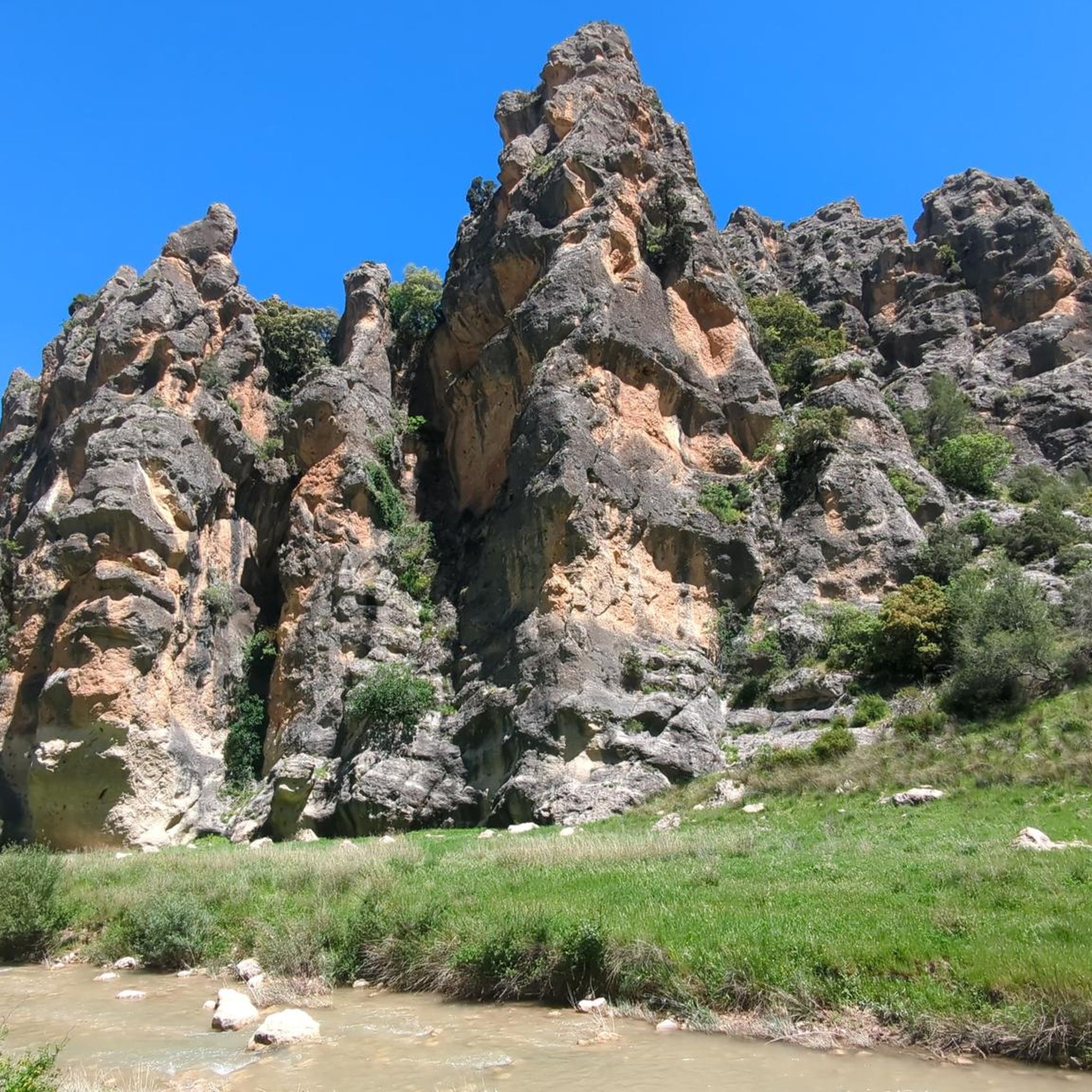
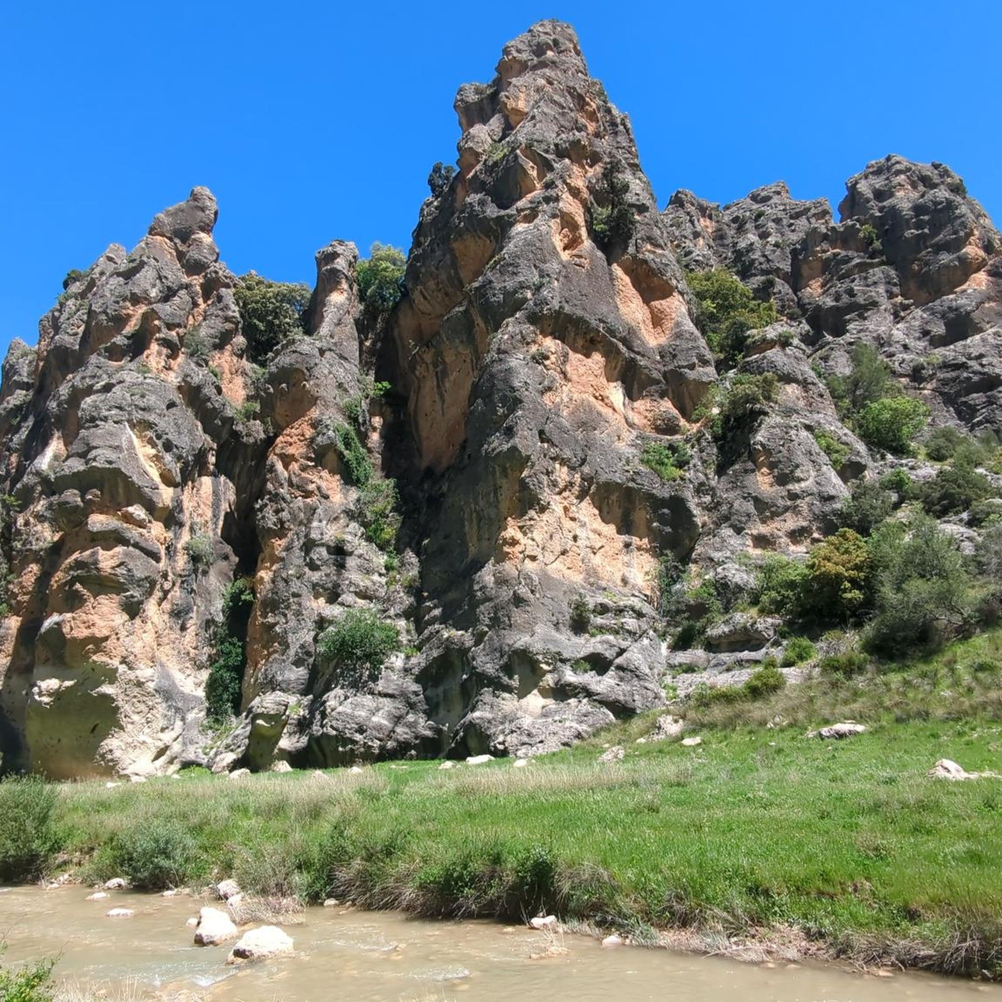
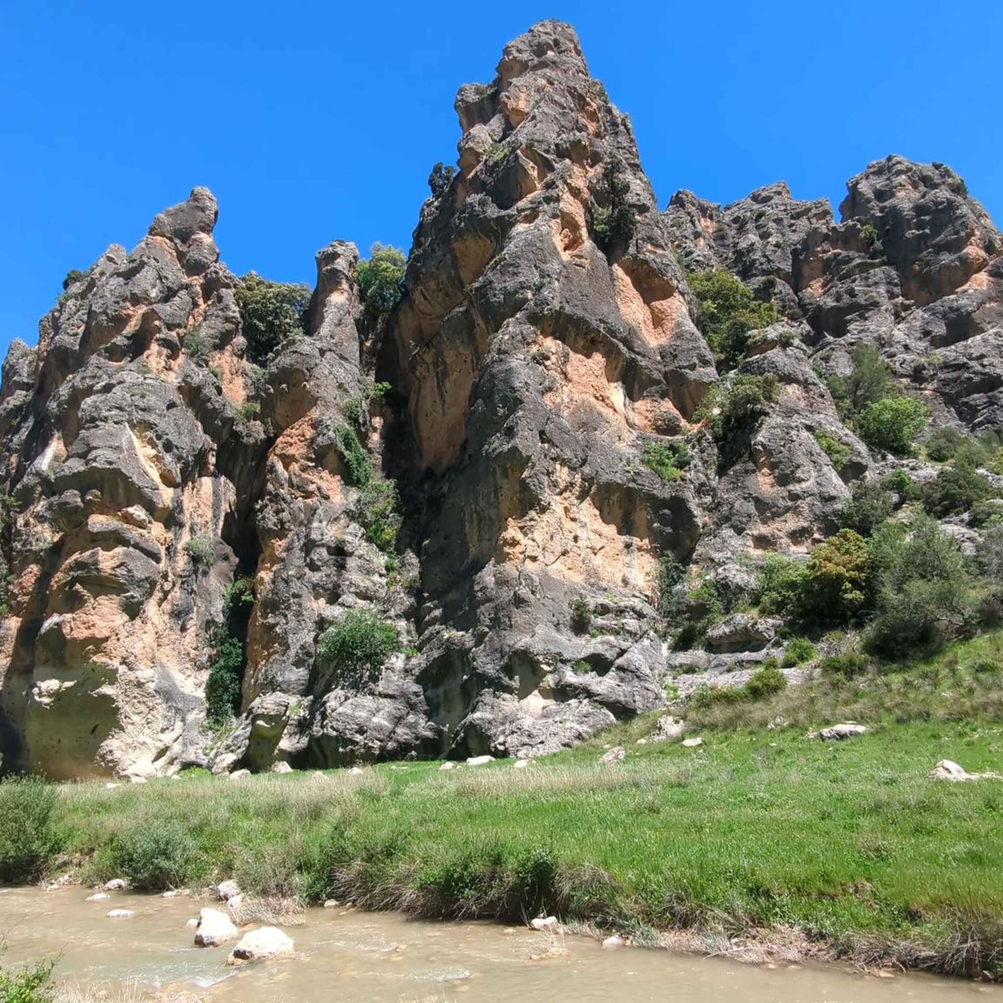
Touring cycling routes around Embalse del Quiebrajano traverse a region characterized by steep, rugged relief with dominant geological formations of brecciated dolomites and dolomitic limestones. The landscape features extensive pine forests, remnants of Mediterranean forest, and olive groves, providing varied visual experiences. The basin is fed by several springs, contributing to the natural features. Roads leading to the reservoir offer views of impressive rock formations and dense woodlands.
Best touring cycling routes around Embalse del Quiebrajano
- The most popular touring…
Last updated: June 26, 2026
5.0
(1)
4
riders
47.1km
04:11
1,350m
1,350m
Hard bike ride. Very good fitness required. Mostly paved surfaces. Suitable for all skill levels.
24
riders
68.8km
04:53
1,380m
1,380m
Hard bike ride. Very good fitness required. Mostly paved surfaces. Suitable for all skill levels.

Sign up for free
20
riders
65.3km
04:42
1,400m
1,400m
Hard bike ride. Very good fitness required. Mostly paved surfaces. Suitable for all skill levels.
6
riders
34.4km
02:24
650m
650m
Hard bike ride. Very good fitness required. Mostly paved surfaces. Suitable for all skill levels.
7
riders
53.1km
05:51
1,740m
1,740m
Hard bike ride. Very good fitness required. Mostly paved surfaces. Suitable for all skill levels.
Our route recommendations are based on thousands of hikes, rides, and runs completed by other people on komoot.
Start today with a free account
Your next adventure awaits.
Login or Signup

Tips from the Community

Peace and harmony of the elements.
0
0

The Martos City Council headquarters is located in a building that formerly served as a prison and town hall, a monument declared a Site of Cultural Interest as a national monument of historical and artistic interest in 1931.
9
0

Alcalá la Real is located at a strategic point between the Guadalquivir Valley and the plains of Granada, which has given it a significant role in Andalusian history. The city's origins date back to prehistoric times, as evidenced by finds from the Paleolithic and Bronze Ages. During the Roman era, the settlement of Sucaelo was probably located here. An impressive marble sculpture of Hercules also dates from this period. Today, Alcalá la Real is characterized by a diverse cultural heritage. The impressive La Mota fortress is just one of many historical buildings, which also include numerous churches and monasteries. The city is also known for its lively traditional festivals and diverse cuisine, which attracts numerous visitors.
0
0
Valdepeñas de Jaén is a charming town, nestled between the impressive mountain ranges of the Sierra de la Pandera to the north and the Sierra de Alta Coloma to the southeast. The town was founded in 1539 and has a typical Renaissance townscape, characterized by a checkerboard pattern. In 1558, it received the status of an independent town. Valdepeñas de Jaén offers numerous sights, such as the Ermita de Chircales, a small chapel that reflects the region's spiritual history with religious paintings and the cave of a hermit. Another highlight is the Molino de Harina, a still-functioning water mill that offers a fascinating insight into traditional flour production. Nature lovers can discover the Chorreras del Río Vadillo, a series of natural waterfalls formed by the Vadillo River and surrounded by paths offering beautiful views. The region is also a paradise for outdoor activities such as cycling. The lush forests and picturesque landscape offer ideal conditions for cyclists who want to explore the beautiful Sierra Sur. A culinary experience is offered by the restaurant El Quejigo del Carbón, located on a hill, which is known not only for its excellent cuisine but also for the breathtaking view of the surrounding landscape. Valdepeñas de Jaén is thus the perfect place to combine history, nature, culture, and sporting activities.
1
0
In the province of Jaén, few memories remain of the machinery used on the railway, so this boiler from a steam locomotive used from the late 19th century until the mid-20th century to transport freight and passengers on this important railway line. This section of greenway, which was removed for political reasons, houses this reminder of what was once an important economic artery in the province of Jaén, known as the "Oil Route."
4
0

The Santuario de la Virgen de la Villa in Martos is an impressive church building in the town. It is located on a hilltop, making it a prominent feature of the cityscape. The church is dedicated to the Virgen de la Villa, also known as La Labradora (the farmer's wife). The original church was built after the reconquest of Martos by Fernando III in 1219, and was later restored and rebuilt after damage inflicted during the Spanish Civil War. The current building is in a neo-Baroque style and was designed by the architect Ramón Pajares Pardo. The church has a cruciform plan with a choir and a cross vault with three arcos fajones.
9
0
The viewpoint at the Santuario de la Virgen de la Villa in Martos offers a beautiful view of the town and the surrounding landscapes. It is located on a hilltop, which makes it a strategic place to admire the panoramic views. From the viewpoint you can see the town of Martos, the surrounding olive groves and the Sierra Morena. It is a popular place for both tourists and locals to enjoy the peace and nature.
8
0
Martos Town Hall, a charming building in the central square.
8
0
Frequently Asked Questions
What kind of terrain can I expect when touring cycling around Embalse del Quiebrajano?
The region is characterized by steep and rugged relief, with dominant geological formations of brecciated dolomites and dolomitic limestones. You'll encounter challenging ascents and descents through extensive pine forests, remnants of Mediterranean forest, and olive groves. Roads often provide impressive views of rock formations and dense woodlands.
Are there any easy touring cycling routes available in Embalse del Quiebrajano?
The touring cycling routes specifically highlighted for Embalse del Quiebrajano are generally considered difficult, offering challenging ascents and significant elevation changes. There are no easy or moderate routes listed in this selection, making the area best suited for experienced cyclists seeking a demanding ride.
What are some notable natural features or landmarks I might see on a touring cycling route?
Cyclists can enjoy diverse natural features. The routes wind through varied climatic vegetation, including pine forests and olive groves. You might also encounter impressive rock formations and the scenic Embalse del Quiebrajano itself, which features the small 'Isla del Quiebrajano'. The 'Cañón de Pitillos' also offers exploration opportunities with its path carved into limestone rock.
Are there any circular touring cycling routes in the area?
Yes, several routes are designed as loops. For example, the View of Valdepeñas de Jaén – Valdepeñas de Jaén loop from Valdepeñas de Jaén is a 29.5-mile route, and the Río Frío Spring – Martos loop from Valdepeñas de Jaén covers 42.8 miles. Another option is the Alcalá la Real – View of Castillo de Locubín loop from Valdepeñas de Jaén, which is 40.6 miles long.
What is the best time of year to go touring cycling in Embalse del Quiebrajano?
While specific seasonal recommendations aren't provided, the region's Mediterranean climate suggests that spring and autumn would offer the most pleasant temperatures for challenging cycling routes. Summers can be very hot, and winters might bring cooler, potentially wet conditions, especially at higher elevations.
What do other touring cyclists say about the routes around Embalse del Quiebrajano?
The touring cycling routes in Embalse del Quiebrajano are highly rated by the komoot community, with an average score of 5.0 stars from over 4 reviews. Cyclists often praise the challenging terrain, the dramatic landscapes, and the varied visual experiences offered by the pine forests and olive groves.
Are there any viewpoints along the touring cycling routes?
Yes, the area is known for its panoramic viewpoints. One notable spot is the Mirador Vítor Carlos III, offering expansive views of the Quiebrajano valley, Otiñar, Jabalcuz, Jaén, and the majestic La Pandera mountain. Other general viewpoints also provide wonderful vistas of the Quiebrajano valley.
Can I expect to see any wildlife while cycling in the area?
The surroundings of Embalse del Quiebrajano are home to abundant wildlife. Wild boar is a representative and numerous species in the area, so you might have the chance to spot them or other local fauna during your ride.
What is the longest touring cycling route listed for Embalse del Quiebrajano?
The longest route highlighted is the Río Frío Spring – Martos loop from Valdepeñas de Jaén, which spans 42.8 miles (68.8 km) and typically takes around 4 hours 53 minutes to complete. It's a difficult route winding through diverse vegetation.
Is there a route that includes the La Pandera mountain?
Yes, the La Pandera loop from Fuente Sabuco is a challenging 10.9-mile (17.6 km) route that features the La Pandera mountain, known for its prominence in the landscape.
Are there any routes that offer views of historical structures like castles?
Yes, the Alcalá la Real – View of Castillo de Locubín loop from Valdepeñas de Jaén is a 40.6-mile route that leads through dramatic landscapes and offers views towards the Castillo de Locubín.
What kind of elevation gain should I prepare for on these routes?
The routes in Embalse del Quiebrajano feature significant elevation changes due to the steep and rugged relief. For example, the Valdepeñas de Jaén loop from Valdepeñas de Jaén involves over 1700 meters of ascent, indicating that you should be prepared for demanding climbs.
Most popular routes around Embalse del Quiebrajano

Get inspired with the komoot mobile app


Explore more
Browse the best Cycling routes in other regions.
