The best running trails in La Solana Y Barranco De La Lucía
27
runners
3
runs
Jogging in La Solana Y Barranco De La Lucía offers diverse landscapes, characterized by Mediterranean scrub and extensive pine forests, primarily Aleppo and black pines. The terrain features varied elevation, with the highest point reaching 1,125.9 meters, providing options for both gentle runs and challenging uphill workouts. Natural features like the Balsa Silvestre pond, a vital amphibian habitat, add to the scenic routes. The area's physiognomy, including the Solana hillside, contributes to visually striking runs with potential panoramic views.
Best jogging routes in La Solana Y Barranco De La Lucía
- The most popular jogging route is Alcublas Windmills – View of Alcublas loop from Alcublas, a 5.8 miles (9.4 km) moderate trail that takes 1 hour 8 minutes to complete. This route offers views of the Alcublas area and its windmills.
- Another top favourite among local runners is Andilla – Peña Parda Summit loop from Oset, a difficult 12.5 miles (20.2 km) path. This route features significant elevation gain, leading towards the Peña Parda Summit with varied natural scenery.
- Local runners also love the El Molinar – Fuente de los Cloticos loop from Bejís, a 14.3 miles (23.0 km) trail leading through pine forests and natural water features, often completed in about 3 hours 8 minutes.
- Jogging in La Solana Y Barranco De La Lucía is defined by Mediterranean scrub, pine forests, and varied elevation, including significant hills. The network offers options for moderate and difficult ability levels.
- The guide includes highly-rated routes that showcase the best of the region's landscape. More than 20 runners have used komoot to explore La Solana Y Barranco De La Lucía's varied terrain.
Last updated: June 28, 2026
2
runners
9.38km
01:09
240m
240m
Moderate run. Good fitness required. Mostly paved surfaces. Suitable for all skill levels.
12
runners
20.2km
02:56
940m
940m
Hard run. Very good fitness required. Mostly paved surfaces. Suitable for all skill levels.

Sign up for free
13
runners
23.0km
03:09
900m
900m
Hard run. Very good fitness required. Mostly paved surfaces. Suitable for all skill levels.
Our route recommendations are based on thousands of hikes, rides, and runs completed by other people on komoot.
Start today with a free account
Your next adventure awaits.
Login or Signup
Popular around La Solana Y Barranco De La Lucía
Tips from the Community

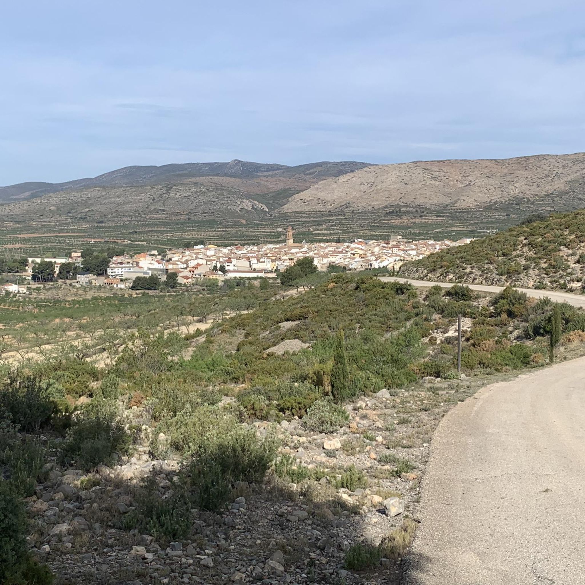
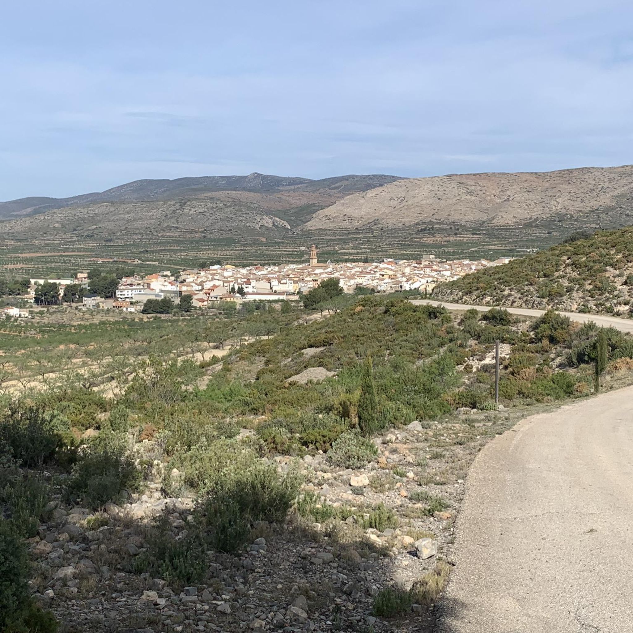
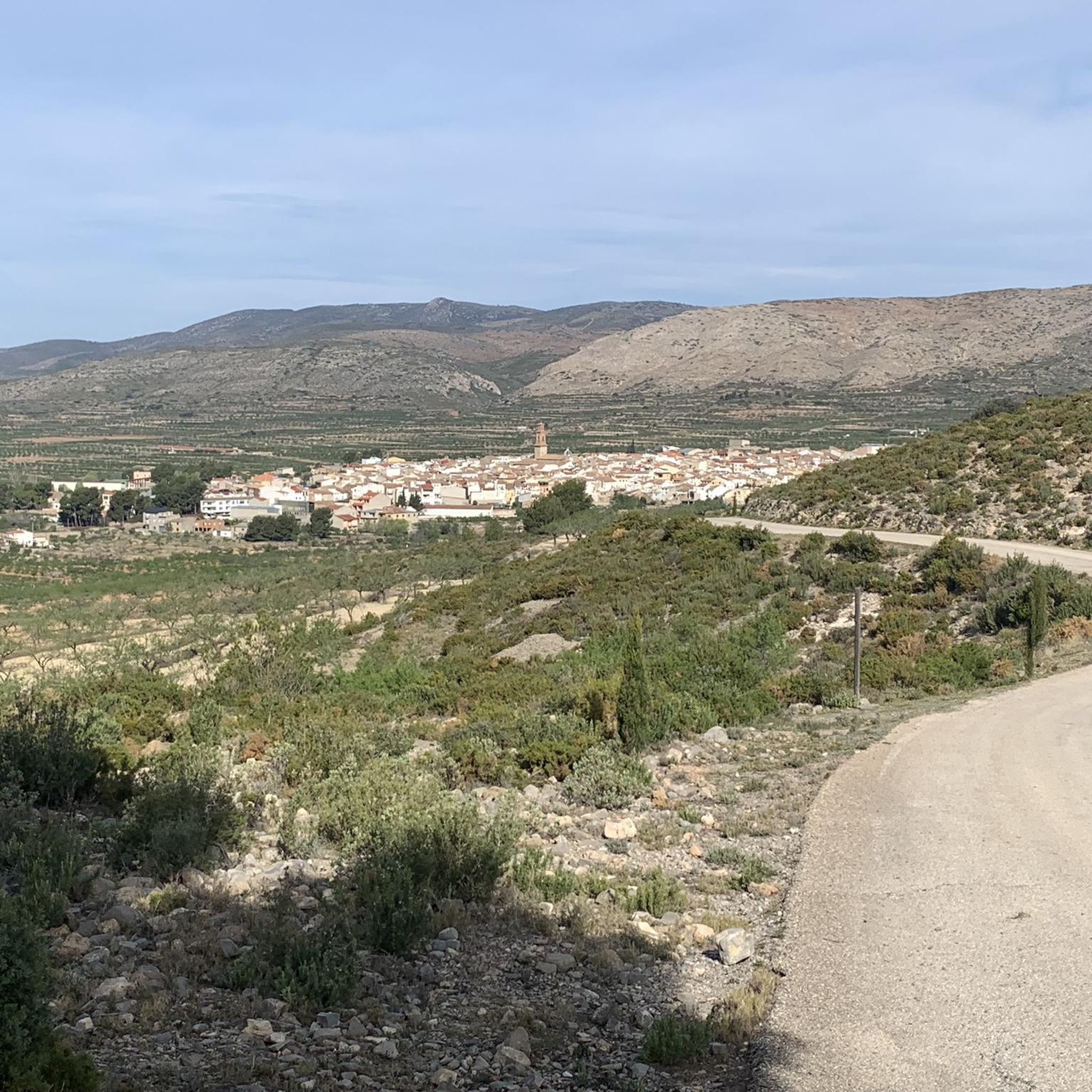
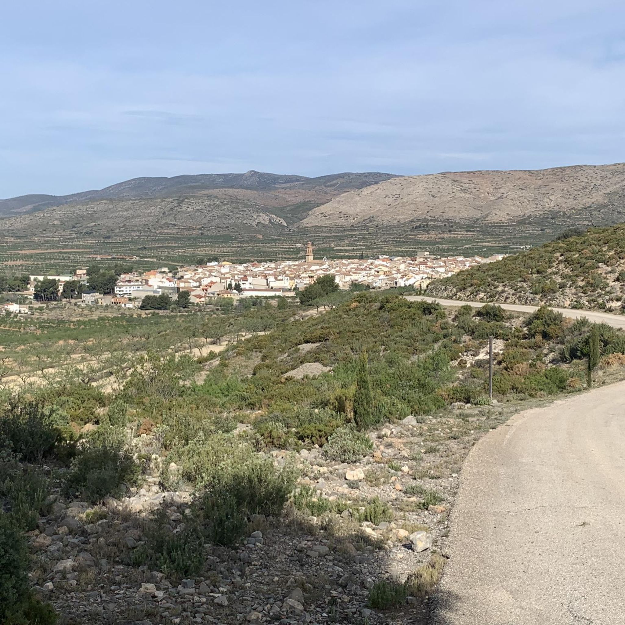
Beautiful views of the town of Alcublas, I recommend walking at the beginning of the year, when the almond trees are in bloom.
3
0
The Cerro de los Molinos, by some called "the Valencian Campo de Criptana" houses two beautiful examples of flour mills restored in 2020. Furthermore, from the height of the hill (903 m) we can enjoy incredible views of the entire town and plain of Alcublas.
1
0

Andilla is a beautiful Valencian town that belongs to the Los Serranos region. It has a little more than 300 inhabitants and is nestled in the Sierra de Andilla, in a landscape dotted with ravines and peaks, some of which are over 1,400 meters high.
1
0

Ascent to the promontory with the two adapted mills. There are three paths, one for hiking (I didn't travel it), one for bikes (quite technical, lots of loose stone and slopes on some sides of more than 20% (hike-a-bike friendly) and one for cars (the best option). Picnic area, LOTS of wind, and great views. I leave the description of the signage. HISTORY Alcublas, at a crossroads between the Turia and Palancia rivers and the Aragón road, is an agricultural municipality that between 1407 and 1835 was part of the estate of the Cartuja de Vall de Crist (Altura). Faced with the need to grind and after several lawsuits with the Cartuja, in 1644 the government of the town sent the parish priest Mossen Mañes and the master builder Pedro de Cubas to Xàbia to take a model for their mills In 1646 the blades and blades ran out machinery and on September 29 a French miller was contracted. The second mill was built later, modeled on the first and both were in operation until the 19th century. THE MILL In 2020, all the machinery was restored by Juan Bautista Sánchez, an expert miller. The entire deck, the friar, of about 7t, can be moved to direct the blades towards the wind. dominant, displacing the steering stick with the donkey. The blades transmit the rotation. horizontal to the catalina wheel, which through the lantern is transformed into a vertical rotation that activates the flying stone. From the hopper, the grain passes through the flying stone and comes out through the gutter, turned into flour.
1
0

It is a magnificent place to spend the day with the family, especially in summer as there is a lot of vegetation and some very nice bathing areas on the Palancia River. The recreational area has a water fountain, tables and benches, an open shelter and paella pans.
2
0
An old settlement that today is in ruins but has a very special charm and is surrounded by a wonderful natural environment next to the Palancia River.
3
1
Nice typical rural town in the interior of the Los Serranos region. You can find some bars to have a coffee. It is also a busy point to start hiking trails in the area.
1
0

Back at the great waterfall de Clotis
1
1
Frequently Asked Questions
What kind of terrain and difficulty can I expect on the running trails in La Solana y Barranco de la Lucía?
The running trails in La Solana y Barranco de la Lucía offer diverse landscapes with varied elevation. You'll find Mediterranean scrub and extensive pine forests, primarily Aleppo and black pines. The highest point reaches 1,125.9 meters, providing options for both gentle runs and challenging uphill workouts. The guide includes routes ranging from moderate to difficult, ensuring options for different fitness levels.
Are there easy running routes suitable for beginners in La Solana y Barranco de la Lucía?
While the region is known for its varied elevation and more challenging routes, there is at least one moderate route available. The Alcublas Windmills – View of Alcublas loop from Alcublas is a moderate 5.8-mile (9.4 km) trail that takes about 1 hour 8 minutes to complete, offering a good option for those looking for a less strenuous run.
What natural features or landmarks can I see while running in La Solana y Barranco de la Lucía?
Runners can enjoy a variety of natural features and historical landmarks. You'll encounter scenic Mediterranean scrub and pine forests, primarily Aleppo and black pines. Notable natural spots include the Balsa Silvestre, a vital pond habitat, and the intriguing Cueva Sabuquera, a cave with historical significance. The elevated terrain also offers visually striking runs with potential panoramic views, especially from the Solana hillside.
Is parking available near the running routes in La Solana y Barranco de la Lucía?
Yes, the routes often start from or pass through areas accessible by car. For instance, the Alcublas Windmills – View of Alcublas loop from Alcublas starts from Alcublas, where parking options are generally available for visitors accessing the natural park. It's advisable to check local signage upon arrival for specific parking regulations.
How can I reach La Solana y Barranco de la Lucía using public transport for a run?
La Solana y Barranco de la Lucía is located near Alcublas, Valencia. While direct public transport to the trailheads might be limited, Alcublas itself is typically served by regional bus lines. We recommend checking local bus schedules from larger nearby towns in Valencia to Alcublas, and then planning your route from there. Some routes, like the Alcublas Windmills – View of Alcublas loop from Alcublas, start directly from the town.
What is the best time of year to go running in La Solana y Barranco de la Lucía?
The Mediterranean climate of the region generally makes spring and autumn ideal for running, with milder temperatures. Summer can be quite warm, especially at midday, so early morning or late afternoon runs are preferable. Winter offers cooler temperatures, which can be pleasant for running, though some higher elevation trails might be more exposed to wind.
Are there family-friendly running routes available in the area?
While the guide highlights routes of moderate to difficult intensity, the varied terrain means there are sections that families can enjoy. The Alcublas Windmills – View of Alcublas loop from Alcublas, being a moderate route, could be a good option for families looking for a less strenuous running or walking experience. Always consider the fitness level of all family members before embarking on a route.
Are dogs allowed on the running trails in La Solana y Barranco de la Lucía?
Generally, natural parks in Spain have regulations regarding dogs. While many trails are dog-friendly, it's crucial to keep dogs on a leash to protect local wildlife and ensure the safety of other visitors. Always clean up after your pet. Specific rules might vary, so checking local park signage is recommended.
What do other runners enjoy most about jogging in La Solana y Barranco de la Lucía?
Over 20 runners have used komoot to explore La Solana y Barranco de la Lucía's varied terrain. They often appreciate the diverse landscapes, from Mediterranean scrub to pine forests, and the challenge offered by the varied elevation. The scenic views and natural features like the Balsa Silvestre also contribute to a rewarding running experience.
Are there any circular running routes in La Solana y Barranco de la Lucía?
Yes, all the routes highlighted in this guide are circular, allowing you to start and finish at the same point. For example, the Alcublas Windmills – View of Alcublas loop from Alcublas, the Andilla – Peña Parda Summit loop from Oset, and the El Molinar – Fuente de los Cloticos loop from Bejís are all designed as loops.
How many running routes are featured in this guide for La Solana y Barranco de la Lucía?
This guide features 3 top running routes in La Solana y Barranco de la Lucía, carefully selected to showcase the best of the region's landscape and varied terrain.
What is the longest running route available in this guide?
The longest running route featured in this guide is the El Molinar – Fuente de los Cloticos loop from Bejís, which is a difficult 14.3-mile (23.0 km) trail. It typically takes about 3 hours 8 minutes to complete and leads through pine forests and natural water features.
Most popular routes in La Solana Y Barranco De La Lucía

Get inspired with the komoot mobile app


Explore more
Browse the best Running Trails & Routes in other regions.
