The best road cycling routes in La Solana Y Barranco De La Lucía
5.0
(4)
183
riders
9
rides
Road cycling in La Solana Y Barranco De La Lucía offers diverse landscapes and varied terrain within the Municipal Natural Park, located in Alcublas, Valencia. The region is characterized by its position in the southern foothills of the Javalambre massif, featuring a mix of gentle slopes and demanding mountain passes. Cyclists will encounter Mediterranean scrubland and dense forests primarily composed of Aleppo pine and black pine, with elevations reaching up to 1,125.9 meters. This topography provides a range of road…
Last updated: October 28, 2026
5.0
(2)
7
riders
24.9km
01:14
370m
370m
Moderate road ride. Good fitness required. Mostly well-paved surfaces and easy to ride.
5.0
(2)
6
riders
24.3km
01:13
370m
370m
Moderate road ride. Good fitness required. Mostly well-paved surfaces and easy to ride.

10
riders
121km
06:23
2,020m
2,020m
Hard road ride. Very good fitness required. Mostly well-paved surfaces and easy to ride.
106
riders
79.1km
04:03
1,360m
1,360m
Hard road ride. Very good fitness required. Mostly well-paved surfaces and easy to ride.
10
riders
57.6km
03:09
970m
970m
Hard road ride. Very good fitness required. Mostly well-paved surfaces and easy to ride.
Get access to more routes and recommendations from other explorers.
Already have an account?
Our route recommendations are based on thousands of hikes, rides, and runs completed by other people on komoot.
Start today with a free account
Your next adventure awaits.
Popular around La Solana Y Barranco De La Lucía

Tips from the Community

Altitude: 1016 m Distance: 17.4 km Elevation gain: 699 m Average gradient: 4.02 % Road in perfect condition, about 8 m wide up to the Fuente de Ribas, where it narrows significantly until the Cueva Santa, where it regains its initial width. Asphalt in good condition except for about 2.5 km from 1 km after the Masía de Ribas to the Cueva Santa, which is older and worn, but presents no problems. Mountain pass with its continuation to the summit of Monmajor, the highest point of the Sierra Calderona and which also marks the end of this mountain range, a point from which we will enjoy an impressive 360º view. It is a quite interesting climb, both for its length and for its sustained ramps in the central part and the layout of its road, especially from the Masía de Ribas (or Rivas, which we will also see written in many places). Upon reaching the top, you can continue along a concrete track to the Pico Monmajor.
0
0

Fountain at the entrance of the town of Alcublas, a point to regroup before entering the town
0
0
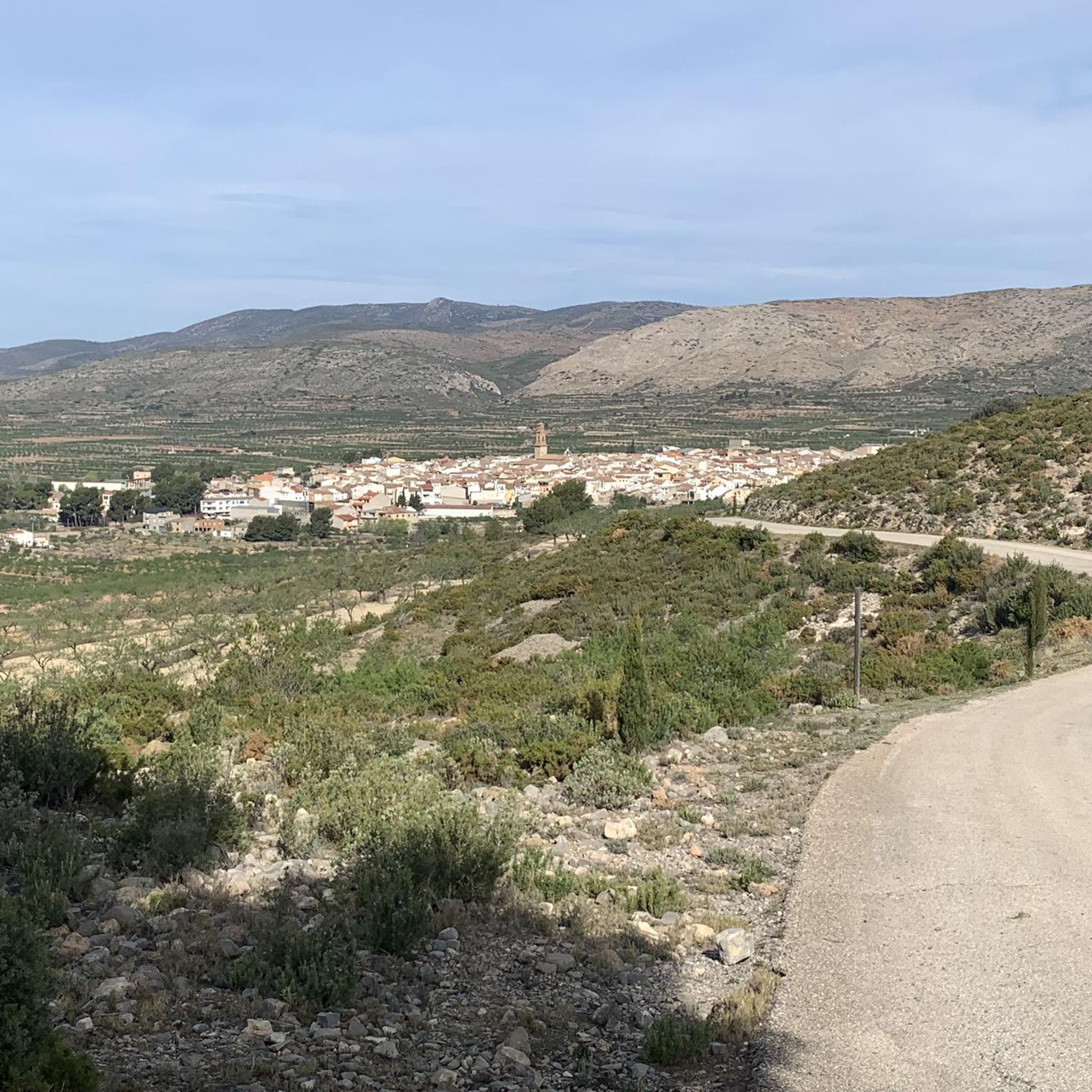
Town in the interior of Valencia, it has services such as bars and restaurants, busy on weekends. For routes, it has the advantage that the supermarket also opens on Sundays.
0
0
In this historic place, in 1237, King James I donated the image of the Virgin of Health to the town of Alcublas, which he carried with him on his horse.
0
0
Mural Platero and I. Caption: "Only the jet mirrors of his eyes are as hard as two black crystal scarabs."
1
0

Segorbe has several outstanding monuments that reflect its rich history and cultural heritage.
5
0

Alcublas (Valencian: Les Alcubles) is a municipality (municipio) with 607 inhabitants (as of January 1, 2022) in the Spanish province of Valencia. It is located in the comarca of Los Serranos. https://de.wikipedia.org/wiki/Alcublas
4
0

Chapel of Santa Ana, located at the bottom of a 20-meter-deep cave, once used by shepherds as a refuge. To reach the chapel built in the s. XVII you descend by a staircase.
1
0
Frequently Asked Questions
What kind of terrain can I expect when road cycling in La Solana y Barranco de la Lucía?
The region, situated in the southern foothills of the Javalambre massif, offers a diverse landscape. You'll encounter a mix of gentle slopes and more demanding mountain passes. The routes often wind through Mediterranean scrubland and dense forests, primarily composed of Aleppo and black pine, with elevations reaching up to 1,125.9 meters.
Are there road cycling routes suitable for different skill levels?
Yes, La Solana y Barranco de la Lucía provides options for both moderate and difficult ability levels. The guide features 6 moderate routes and 5 difficult routes, ensuring a suitable challenge for various cyclists.
What are some notable natural features I might see while cycling in the park?
While cycling, you might encounter unique natural features such as the Balsa Silvestre, a perennial pond with diverse flora and fauna, including the vulnerable gallipato newt. The area also features the Cueva Sabuquera, a natural cave known for its lush vegetation and historical use as a 'ventisquero' or snow house. The scenic Barranco de la Lucía ravine itself, with its dense pine forests, is a prominent natural highlight.
Can I find loop routes for road cycling in La Solana y Barranco de la Lucía?
Yes, many of the road cycling routes in the area are loops. For example, the popular Santa Ana Cave – Alcublas loop from Alcublas is a moderate 24.9 km route, and the Alcublas – Santa Ana Cave loop from Alcublas offers similar scenic views over 24.4 km.
Are there any challenging long-distance road cycling routes available?
For experienced cyclists seeking a challenge, the Alcublas Village – La Pobleta Village loop from Sacañet is a difficult 120.8 km route, typically taking over 6 hours to complete. Another demanding option is the Alcublas Village – Segorbe loop from El Collado de la Seca, spanning 78.6 km with significant elevation changes.
What is the best time of year to go road cycling in this region?
Given its Mediterranean climate, spring and autumn generally offer the most pleasant conditions for road cycling in La Solana y Barranco de la Lucía, with milder temperatures and less extreme weather. Summer can be hot, especially at lower elevations, while winter can bring cooler temperatures, particularly in the higher parts of the Javalambre massif foothills.
What kind of wildlife might I encounter while cycling?
The park is rich in biodiversity. Beyond the gallipato newt in Balsa Silvestre, you might spot other amphibians like the common midwife toad and natterjack toad. Birdwatchers may see skylarks, and mammals such as the European hedgehog are also present, adding to the natural experience.
Are there any historical or cultural points of interest along the cycling routes?
Yes, the area has significant historical value. You can find archaeological sites from the Bronze Age (like La Cumbre and Cueva Sabuquera) and the Iberian period (Corral de Capa). The historical 'ventisqueros' (snow houses) are ethnological treasures, and the 'Sendero de los Oficios' (Path of Trades) offers insights into the region's past livelihoods.
How well-regarded are the road cycling routes in La Solana y Barranco de la Lucía by other cyclists?
The routes in La Solana y Barranco de la Lucía are highly rated by the komoot community, holding an average score of 5.0 stars from more than 5 reviews. Over 200 road cyclists have used komoot to explore the varied terrain, indicating a positive and popular cycling destination.
Where can I find amenities like cafes or restaurants near the cycling routes?
The nearby town of Alcublas, where the Municipal Natural Park is located, offers various amenities including cafes, bars, and restaurants where you can refuel and relax before or after your ride.
Are there any specific routes that offer extensive views?
Routes that traverse higher elevations, such as the difficult Alcublas Village – La Pobleta Village loop from Sacañet, provide extensive views of the diverse landscapes and pine forests characteristic of the region. The park's maximum elevation of 1,125.9 meters ensures panoramic vistas from many points.
What is the total number of road cycling routes available in the area?
There are 11 road cycling routes documented in La Solana y Barranco de la Lucía, offering a good selection for different preferences and fitness levels.
Most popular routes in La Solana Y Barranco De La Lucía

Get inspired with the komoot mobile app


Explore more
Browse the best Road cycling routes in other regions.
