The best cycling routes in La Solana Y Barranco De La Lucía
4.0
(4)
87
riders
24
rides
Touring cycling in La Solana Y Barranco De La Lucía features routes through mountainous landscapes on the southern foothills of the Javalambre massif, reaching altitudes up to 1,125.9 meters. The terrain is characterized by Mediterranean scrub, Aleppo pine, and black pine forests, offering varied views. While some sections within the natural park can be technical, the broader region provides diverse cycling experiences across elevated areas and surrounding plains. The area also includes historical sites, adding cultural interest to the natural…
Last updated: October 28, 2026
2
riders
31.4km
02:36
650m
650m
Hard bike ride. Very good fitness required. Mostly paved surfaces.
8
riders
47.1km
03:18
920m
920m
Hard bike ride. Very good fitness required. Mostly paved surfaces.

4
riders
23.3km
02:11
520m
520m
Hard bike ride. Very good fitness required. Mostly paved surfaces.
16
riders
50.4km
04:36
1,210m
1,210m
Hard bike ride. Very good fitness required. Mostly paved surfaces.
4.0
(4)
7
riders
51.0km
03:18
650m
650m
Hard bike ride. Very good fitness required. Mostly paved surfaces.
Get access to more routes and recommendations from other explorers.
Already have an account?
Our route recommendations are based on thousands of hikes, rides, and runs completed by other people on komoot.
Start today with a free account
Your next adventure awaits.

Tips from the Community

Former military base. Although it is "fenced off", there are gaps everywhere. You can explore it.
0
0
It has parts in "medium condition" and others a bit better... It is very quiet.
0
0
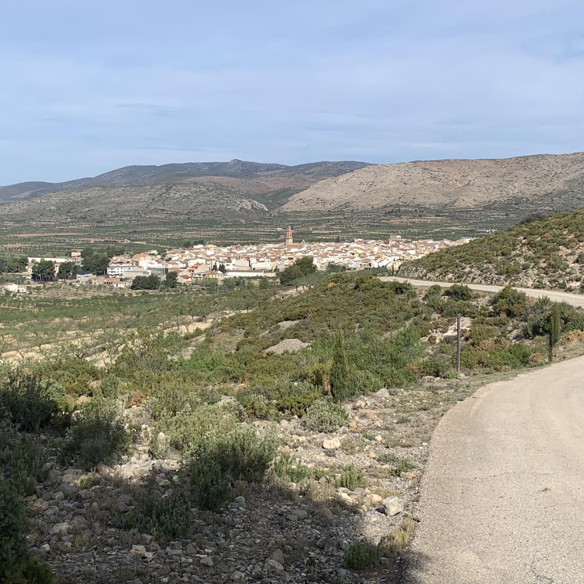
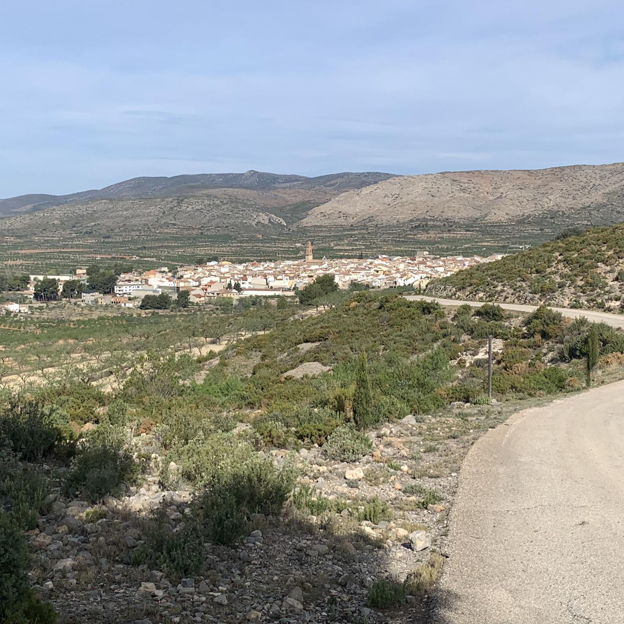
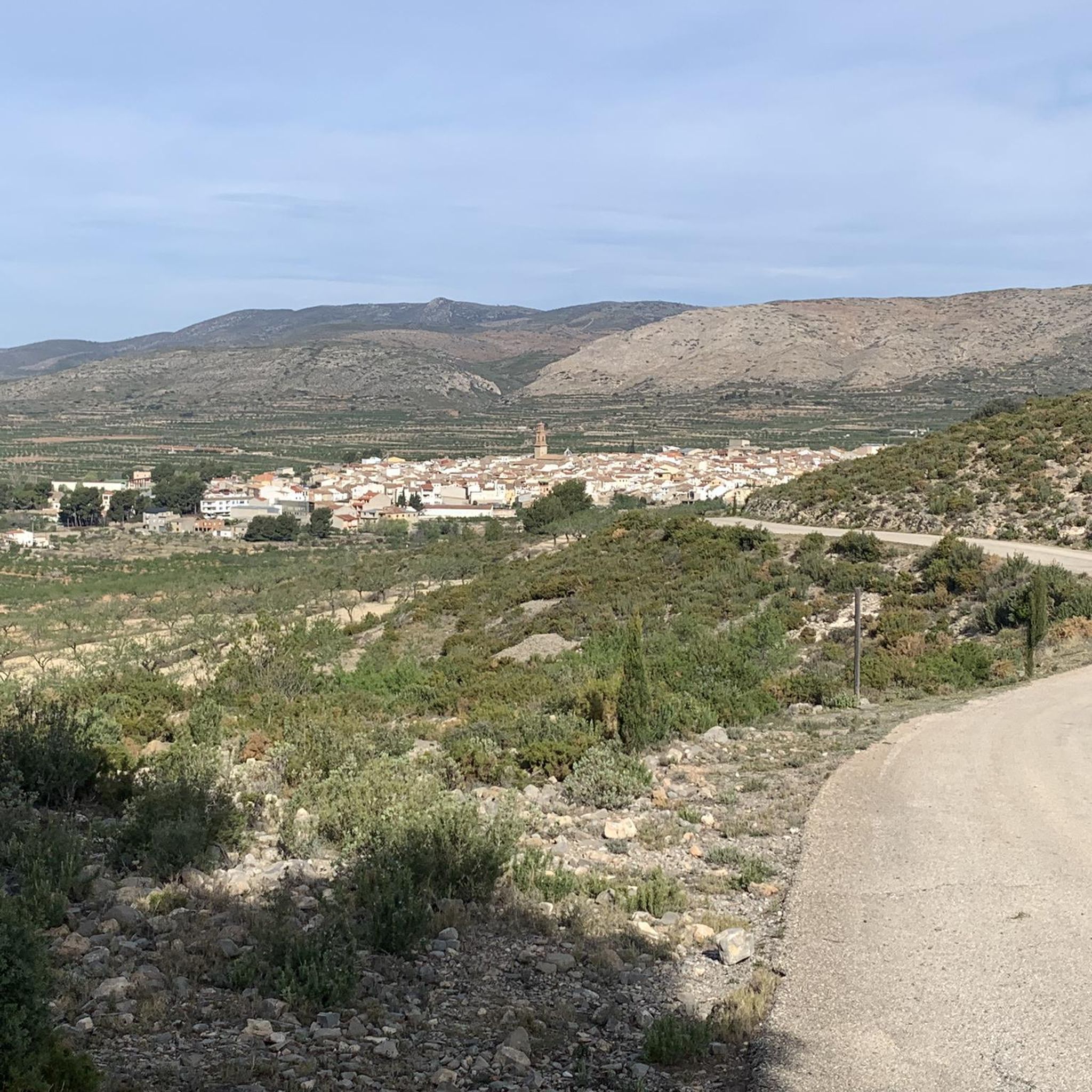
Next to the abandoned buildings and facilities, we can observe a magnificent panoramic view of the provinces of Castellón, Valencia, and Teruel (the 'nearby' Pico del Buitre and its astrophysical observatory in the Sierra de Javalambre can be seen) right at the point where the provinces of Castellón and Teruel converge (and not far from Valencia) at the highest paved point in the province of Castellón and the Valencian Community.
0
0

Town in the interior of Valencia, it has services such as bars and restaurants, busy on weekends. For routes, it has the advantage that the supermarket also opens on Sundays.
0
0

Just a few meters away, there's a wind farm. You can walk up close and stand under one of the windmills. On windy days, it's quite an experience.
2
0

A shelter with a fountain right at the door and with benches and a table, surrounded by olive trees a few meters from a small road that goes from Toras to Bejís, I imagine it will be little traveled.
0
0

Cloticos Road. Behind Peña Juliana. Good gravel track.
1
0

There are several rural houses and accommodations. It is not just a village next to a national highway, it has a peculiar charm of a moorland village. A street runs through the whole town, if you look carefully you will guess many of its people and its history. It grew and now it is retreating.
1
0
Frequently Asked Questions
What is the general difficulty level for touring cycling routes in La Solana y Barranco de la Lucía?
The majority of touring cycling routes in La Solana y Barranco de la Lucía are considered difficult, with 17 out of 20 routes falling into this category. There are also 3 moderate routes, but no easy routes are listed within the immediate area. The terrain often involves mountainous landscapes and can include technical sections with loose stone, though broader regional options like greenways offer less technical riding.
Are there any circular touring cycling routes available?
Yes, many of the routes in the area are designed as loops. For example, you can explore the region on the Alcublas – Alcublas Village loop from Alcublas, or the Andilla Village – Puntal del Pedregoso loop from Oset. Another option is the Alcublas – Alcublas Village loop from Oset, which takes you through diverse landscapes.
What kind of landscapes and natural features can I expect to see while cycling?
The routes traverse the southern foothills of the Javalambre massif, offering significant landscape value and attractive views. You'll cycle through Mediterranean scrub, Aleppo pine, and black pine forests. Notable natural features include the Balsa Silvestre, a pond with ferns and reeds, and the Cueva Sabuquera, a cave known for its lush vegetation.
Are there any historical or archaeological sites to explore along the routes?
Yes, the area is rich in history. You can find archaeological sites such as the Bronze Age settlement of La Cumbre and the Iberian settlement of Corral de Capa. The Cueva Sabuquera also holds remains from the Bronze Age and Islamic pottery. Additionally, historical snowfields (ventisqueros) are ethnological points of interest, showcasing past methods of snow collection.
What is the best time of year for touring cycling in La Solana y Barranco de la Lucía?
Given the Mediterranean climate and mountainous terrain, spring and autumn are generally the most pleasant seasons for touring cycling. Temperatures are milder, and the natural scenery is vibrant. Summer can be quite hot, especially on exposed routes, while winter might bring colder temperatures at higher altitudes.
How many touring cycling routes are there in La Solana y Barranco de la Lucía?
There are over 20 touring cycling routes available in La Solana y Barranco de la Lucía, offering a variety of experiences for cyclists looking to explore the region's mountainous landscapes.
What do other touring cyclists enjoy most about cycling in this region?
The area is highly rated by the komoot community, with an average score of 4.0 stars from 4 reviews. Cyclists often praise the challenging mountainous terrain and the diverse landscapes, including Mediterranean scrub and pine forests, which provide varied and scenic rides.
Are there options for longer touring cycling routes?
Yes, there are longer routes available for those seeking extended rides. For instance, the Fuente de los Cloticos – El Molinar loop from Bejís covers over 51 kilometers with significant elevation gain, offering a substantial challenge. Another long option is the Historic National Road 234 – View of Barracas loop from Bejís, spanning nearly 53 kilometers.
Is the terrain suitable for all types of touring bikes?
While the broader Valencia region offers well-maintained greenways suitable for various touring bikes, some sections within the immediate natural park of La Solana y Barranco de la Lucía can be technical with loose stone and steep slopes. For less technical riding, using the 'road for cars' is often a better option, or exploring the greenways in the wider region.
Are there any specific viewpoints along the cycling routes?
Given the region's elevated position on the southern foothills of the Javalambre massif, many routes offer attractive views of the surrounding area. Routes like the Andilla Village – Puntal del Pedregoso loop from Oset specifically highlight views from an elevated position, allowing cyclists to take in the expansive landscapes.
What are the typical elevations encountered on these touring cycling routes?
The region is situated on the southern foothills of the Javalambre massif, with altitudes reaching up to 1,125.9 meters. Routes often feature significant elevation changes; for example, the Alcublas – Alcublas Village loop from Alcublas involves over 640 meters of ascent, providing challenging climbs and descents.
Most popular routes in La Solana Y Barranco De La Lucía

Get inspired with the komoot mobile app


Explore more
Browse the best Cycling routes in other regions.
