The best walks and hikes in Tucurrique
4.9
(15)
124
hikers
5
hikes
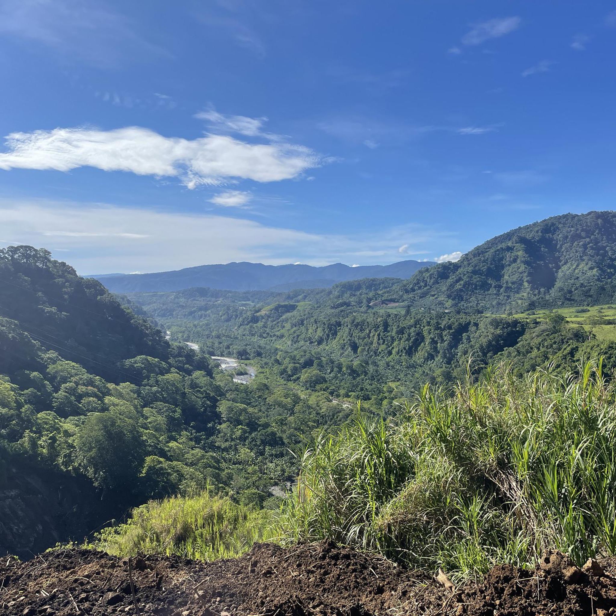
Hiking in Tucurrique offers exploration of a diverse and lush natural environment within Costa Rica's Cartago province. The area, situated at an elevation of 777 meters, features irregular terrain, mountains, and dense forests, shaped by complex geological processes. Robust hydrological systems, including the Reventazón River, contribute to the region's distinctive landscapes and microclimates. This topography supports rich biodiversity and provides varied conditions for outdoor activities.
Best hiking trails in Tucurrique
- The most popular hiking route is Fallen Trees Trail –…
Last updated: June 29, 2026
4.8
(11)
76
hikers
5.35km
01:55
290m
300m
Easy hike. Great for any fitness level. Easily-accessible paths. Suitable for all skill levels.
9
hikers
7.58km
02:12
200m
210m
Moderate hike. Good fitness required. Easily-accessible paths. Suitable for all skill levels.

Sign up for free
5.0
(4)
22
hikers
2.61km
01:08
230m
230m
Easy hike. Great for any fitness level. Easily-accessible paths. Suitable for all skill levels.
9
hikers
9.35km
03:07
430m
430m
Moderate hike. Good fitness required. Easily-accessible paths. Suitable for all skill levels.
8
hikers
3.30km
00:55
70m
70m
Easy hike. Great for any fitness level. Easily-accessible paths. Suitable for all skill levels.
Our route recommendations are based on thousands of hikes, rides, and runs completed by other people on komoot.
Start today with a free account
Your next adventure awaits.
Login or Signup
Popular around Tucurrique


Tips from the Community

Ideal for a straightforward hike! Flat, easy to access, and smooth.
0
0

Remember to register online at the parque before going there. It's possible at the parque to register, but it can happen that the internet connection does not work or that there are already alot of people in the park and you will not get permission to enter.
0
0
Remember to register online at the parque before going there. It's possible at the parque to register, but it can happen that the internet connection does not work or that there are already alot of people in the park and you will not get permission to enter.
0
0
Remember to register online at the parque before going there. It's possible at the parque to register, but it can happen that the internet connection does not work or that there are already alot of people in the park and you will not get permission to enter.
0
0
Frequently Asked Questions
What kind of terrain can I expect on hiking trails in Tucurrique?
Tucurrique's hiking trails feature diverse and irregular terrain, shaped by complex geological processes. You'll encounter lush rainforests, varied mountain landscapes, and robust hydrological systems, including significant rivers like the Reventazón. The area's microclimates contribute to rich biodiversity, making for a scenic and varied hiking experience.
Are there easy hiking options suitable for beginners in Tucurrique?
Yes, Tucurrique offers several easy hiking options. For instance, the Fallen Trees Trail – Oropéndula Trail loop from Parque Nacional Tapantí is an easy 3.3-mile (5.3 km) route within Tapantí National Park. Another accessible choice is the Oropéndula Trail loop from La Sierra, which is 3.3 miles (3.3 km) and also considered easy.
What are some moderate hiking trails in the Tucurrique area?
For those seeking a moderate challenge, the Tapantí River – Fallen Trees Trail loop from Parque Nacional Tapantí is a popular choice. This 5.8-mile (9.4 km) trail offers views of the Tapantí River and navigates through the park's rainforest ecosystem. Another moderate option is the Tapantí River loop from La Sierra, a 4.7-mile (7.6 km) path through lush riverside vegetation.
Are there any circular hiking routes in Tucurrique?
Many of Tucurrique's trails are designed as loops, offering a complete experience without retracing your steps. Examples include the easy Fallen Trees Trail – Oropéndula Trail loop from Parque Nacional Tapantí and the moderate Tapantí River – Fallen Trees Trail loop from Parque Nacional Tapantí, both providing diverse scenery within Tapantí National Park.
What natural features or landmarks can I expect to see on hikes in Tucurrique?
Hiking in Tucurrique offers a wealth of natural beauty. You can explore the stunning Orosi Valley with its panoramic viewpoints, dense rainforests, and numerous rivers. Within Tapantí National Park, you'll find impressive Tree Ferns on Tapantí Rainforest Trail, the Río Orisí, and various waterfalls, including a notable Waterfall. The scenic Cachí artificial lake is also a prominent feature nearby.
Is Tapantí National Park a good place for hiking in Tucurrique?
Tapantí National Park is an excellent destination for hiking near Tucurrique. It's known for its incredibly lush rainforests, abundant rivers, and numerous waterfalls. The park is a haven for wildlife, including diverse mammal and bird species. Trails vary in difficulty, from easier paths like the Oropendola Trail to more challenging routes that can be steep and muddy. Online registration is required before entering the park.
Are there any hidden waterfalls to discover in the Tucurrique area?
The region around Tucurrique, particularly within Tapantí National Park and the Orosi Valley, is rich with waterfalls. While specific 'hidden' ones aren't always signposted, trails in areas like Monte Sky Mirador Ecológico feature several cascades, some over 90 meters high. The Refugio de Vida Silvestre La Marta also boasts numerous waterfalls along its extensive trail system.
What kind of wildlife can I expect to see while hiking in Tucurrique?
Tucurrique's diverse ecosystems, especially within Tapantí National Park and Refugio de Vida Silvestre La Marta, are home to abundant wildlife. Hikers might spot approximately 45 mammal species, including Baird's tapirs, kinkajous, and white-faced capuchin monkeys. The area is also a birdwatcher's paradise, with around 400 bird species, such as resplendent quetzals and emerald toucanets, along with various reptiles and amphibians.
What do other hikers say about the trails in Tucurrique?
The hiking routes in Tucurrique are highly rated by the komoot community, with an impressive average score of 4.9 stars from over 15 reviews. Hikers often praise the dense rainforests, the beauty of significant rivers like the Reventazón, and the varied mountain terrain, particularly within Tapantí National Park. Many appreciate the options available for different ability levels, from easy loops to more challenging paths.
Are there opportunities for family-friendly walks in Tucurrique?
Yes, the region offers family-friendly options. The Oropendola Trail within Tapantí National Park is noted as an easier trail with picnic areas, suitable for families. Additionally, the Mirador de Orosi provides a park setting with walking paths and picnic areas, perfect for relaxed enjoyment of the scenic vistas with children.
What is the best time of year to go hiking in Tucurrique?
Tucurrique is known for its lush rainforests, indicating a climate with significant rainfall. While hiking is possible year-round, the dry season (typically December to April) might offer more comfortable conditions with less mud and clearer skies, though the rainforest remains vibrant. The wet season brings more intense greenery and active waterfalls, but trails can be muddier and require appropriate gear.
How many hiking trails are available in the Tucurrique area?
There are several hiking trails available in the Tucurrique area, with komoot featuring 5 distinct routes. These include a mix of easy and moderate paths, primarily concentrated around Tapantí National Park and the surrounding lush landscapes.
Where can I find natural pools for swimming after a hike?
The Refugio de Vida Silvestre La Marta, accessible via Tucurrique, is an excellent place to find natural pools. Along its 17 kilometers of trails, visitors can discover 8 natural pools, perfect for relaxing and refreshing dips after exploring the rainforest and waterfalls.
Most popular routes in Tucurrique
Most popular attractions in Tucurrique

Get inspired with the komoot mobile app


Explore more
Browse the best Hikes in other regions.
