The best MTB trails in Tucurrique
4.6
(22)
199
riders
11
rides
Mountain biking in Tucurrique offers challenging terrain within Costa Rica's Orosi Valley. The region is characterized by steep inclines, winding forest trails, and expansive volcanic views, providing a dynamic environment for riders. Trails often pass through dense primary and secondary forests, alongside rivers, and through agricultural areas like sugarcane and coffee plantations. This varied topography includes significant elevation changes, making it ideal for endurance and technical mountain biking.
Best mountain bike trails in Tucurrique
- The most popular mountain bike trail…
Last updated: July 2, 2026
5.0
(5)
64
riders
55.0km
04:00
750m
750m
Moderate mountain bike ride. Good fitness required. Suitable for all skill levels.
3.0
(1)
14
riders
49.0km
03:57
1,100m
1,100m
Hard mountain bike ride. Very good fitness required. Suitable for all skill levels.

Sign up for free
6
riders
27.9km
02:16
580m
580m
Moderate mountain bike ride. Good fitness required. Suitable for all skill levels.
6
riders
57.1km
04:11
1,130m
1,130m
Hard mountain bike ride. Very good fitness required. Suitable for all skill levels.
5.0
(1)
7
riders
20.1km
01:20
310m
310m
Moderate mountain bike ride. Good fitness required. Suitable for all skill levels.
Get access to more routes and recommendations from other explorers.
Sign up for free
Already have an account?
Our route recommendations are based on thousands of hikes, rides, and runs completed by other people on komoot.
Start today with a free account
Your next adventure awaits.
Login or Signup
Popular around Tucurrique
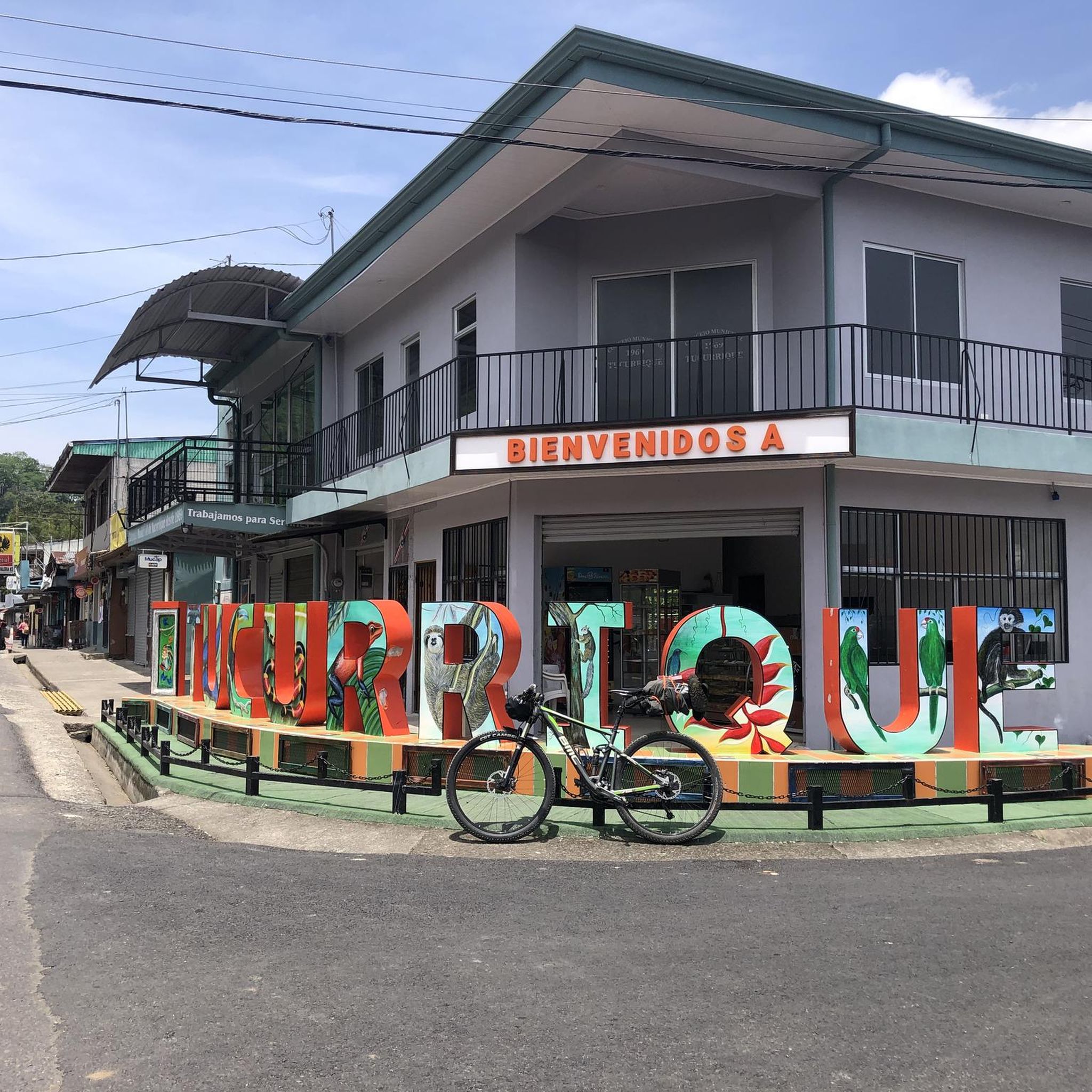

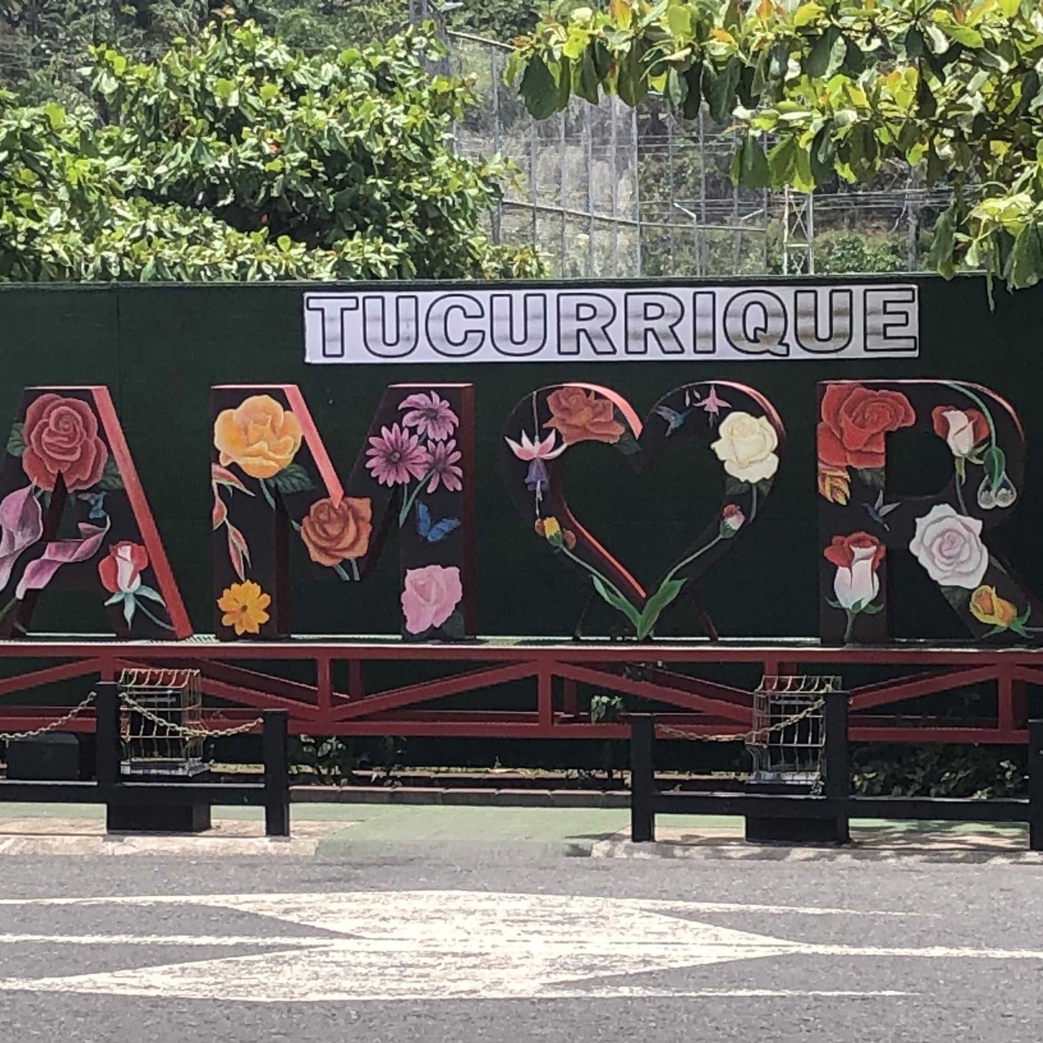
Tips from the Community

You can take photos on the suspension bridge, the Pejiballe River is clean. Be careful, it only supports 3 people at a time.
1
0

bring water and enjoy the view
0
0
Frequently Asked Questions
How many mountain bike trails are available in Tucurrique?
Tucurrique offers a selection of over 10 mountain bike routes, with 7 categorized as moderate and 4 as difficult. These trails provide a dynamic environment for riders, featuring significant elevation changes and varied terrain.
What is the best time of year for mountain biking in Tucurrique?
The dry season, which typically runs from December to April, is generally recommended for mountain biking in Tucurrique. During this period, you'll experience better traction on the trails and clearer views of the surrounding landscapes.
What kind of terrain can I expect on mountain bike trails in Tucurrique?
Mountain bike trails in Tucurrique are characterized by challenging and diverse terrain. Riders will encounter steep inclines, winding forest paths, and varied gradients. Routes often pass through dense primary and secondary forests, agricultural areas like sugarcane and coffee plantations, and offer panoramic volcanic views.
Are there any circular mountain bike routes in Tucurrique?
Yes, many of the mountain bike routes in Tucurrique are designed as loops. For example, the Mountainbike loop from Turrialba is a popular moderate route, and the more challenging Infiernillo Climb loop from Turrialba also offers a circular experience.
What natural landmarks or points of interest can I see along the mountain bike trails?
The trails in Tucurrique often pass through or near several natural attractions. You might encounter the expansive Orosi Valley, dense forests with features like Tree Ferns on Tapantí Rainforest Trail, and various rivers including the Río Orisí in Tapantí National Park. Some routes also offer views of distant volcanoes and pass by the Cachí artificial lake.
Are there any waterfalls accessible from the mountain bike trails?
Yes, the region around Tucurrique is crisscrossed by rivers and features accessible waterfalls. While specific routes may vary, some trails involve river crossings and lead to scenic waterfalls, such as the Waterfall highlight, adding an adventurous element to your ride.
What do other mountain bikers say about the trails in Tucurrique?
The mountain bike routes in Tucurrique are highly regarded by the komoot community, holding an average rating of 4.4 stars from over 15 reviews. Nearly 200 mountain bikers have explored the varied terrain, often praising the challenging climbs, technical sections, and the immersive experience of riding through dense forests and agricultural landscapes.
Are there any particularly challenging routes for experienced mountain bikers?
Absolutely. Tucurrique is known for its demanding terrain. Experienced riders might enjoy the Ingenio La Central (Antiguo) loop from Turrialba, a difficult 77.6 km trail through dense forests, or the San Martín Recreation Center – Gravel Road Trail loop from Casa Turire, another difficult route with significant elevation changes.
What is the typical duration for a mountain bike ride in Tucurrique?
Ride durations vary depending on the route and your pace. For instance, a moderate trail like the Mountainbike loop from Turrialba typically takes around 4 hours. More challenging and longer routes, such as the Ingenio La Central (Antiguo) loop from Turrialba, can take over 6 hours to complete.
Are there any moderate mountain bike trails suitable for those looking for a less extreme challenge?
Yes, while many trails are challenging, there are moderate options available. The Mountainbike loop from Turrialba is a popular moderate route covering 55 km, offering varied terrain through agricultural areas and forest sections. Another moderate option is the Aquiares loop from El Silencio, which is shorter at 25.3 km.
What kind of natural environment will I experience while mountain biking in Tucurrique?
You'll be immersed in a highly biodiverse environment. Trails often wind through dense primary and secondary forests, including rainforest and cloud forest ecosystems similar to those found in nearby Tapantí National Park. Expect lush canopies, diverse flora, and the sounds of nature, alongside views of rivers and agricultural landscapes.
Most popular routes in Tucurrique
Most popular attractions in Tucurrique

Get inspired with the komoot mobile app


Explore more
Browse the best MTB trails in other regions.
