
The best running trails in Anolaima
45
runners
5
runs
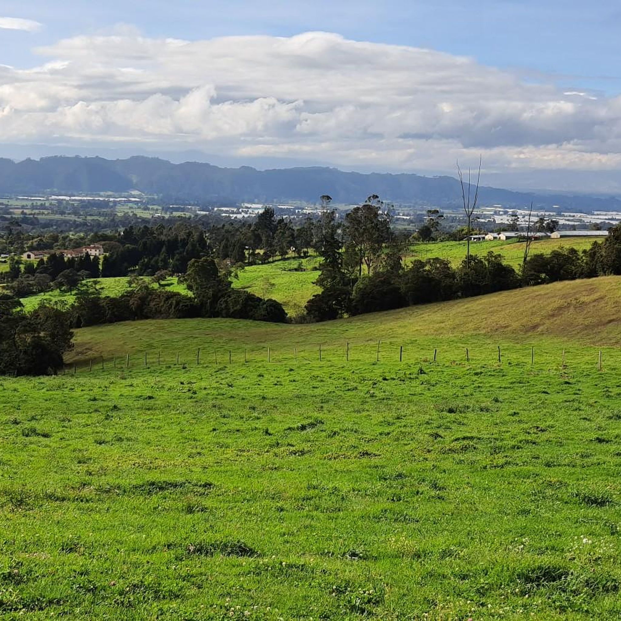
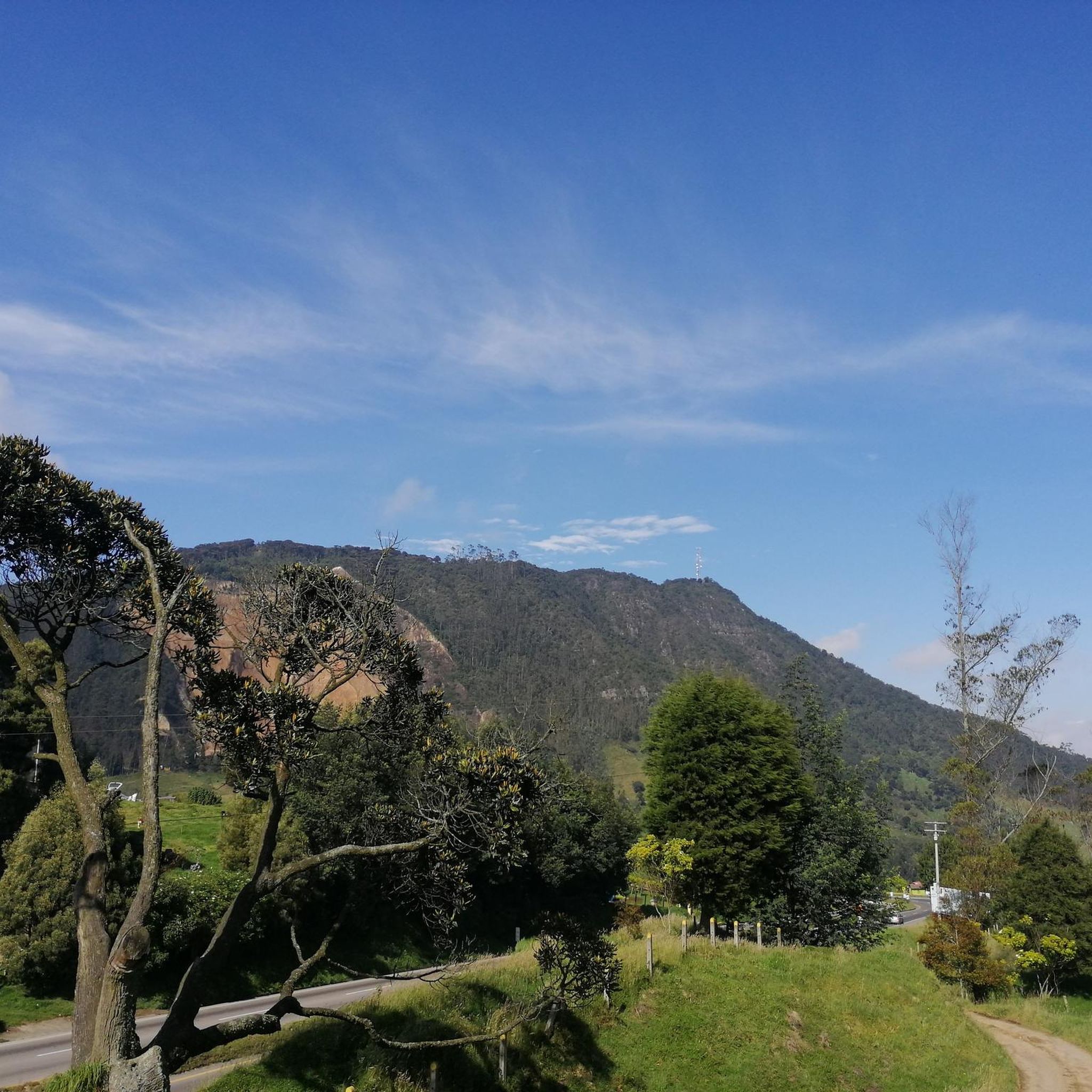
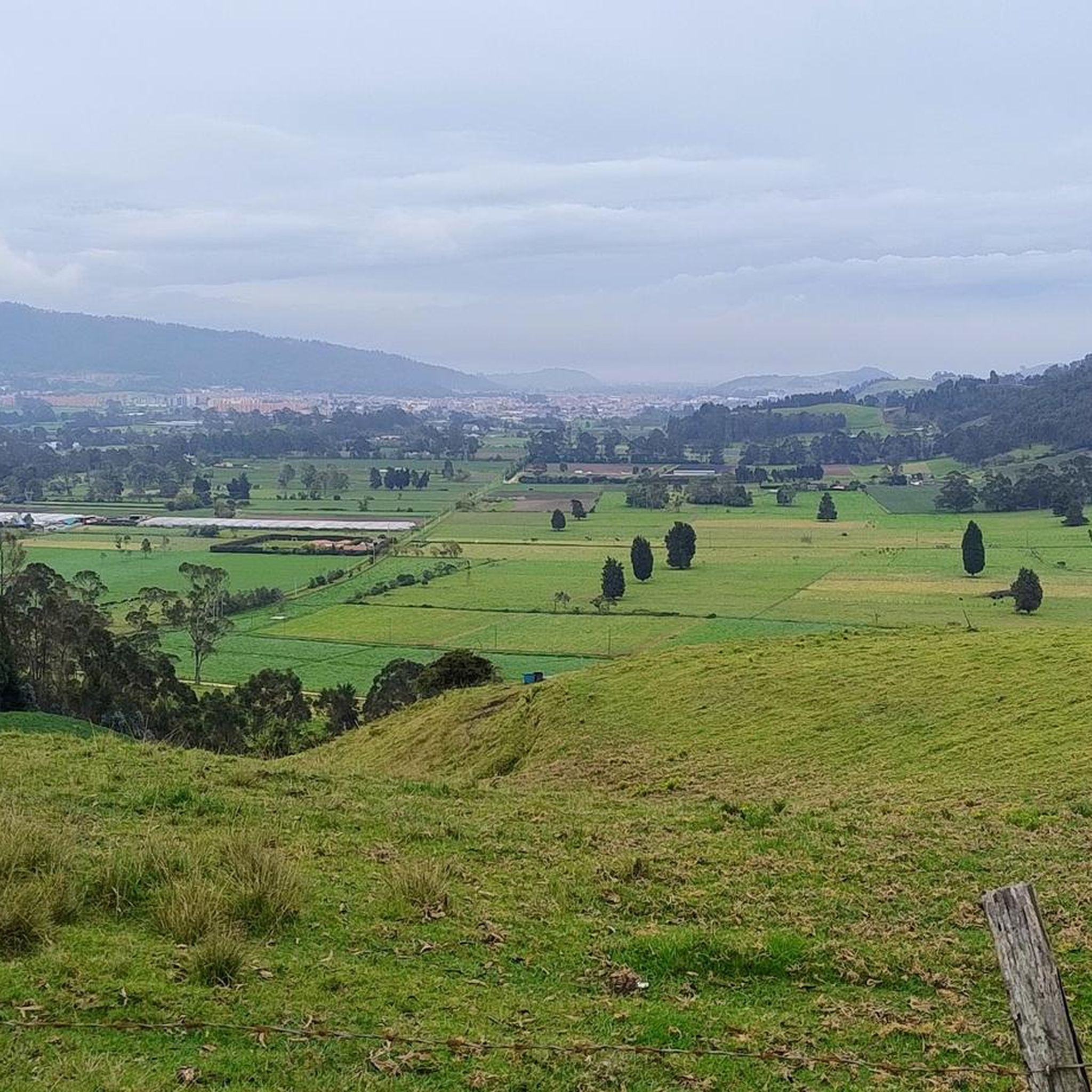
Jogging routes in Anolaima traverse a landscape characterized by extensive networks of rural roads and natural paths. The region features diverse topography, including climbs to viewpoints offering panoramas of surrounding mountain ranges and trails leading to natural attractions like the Curí River. Lush vegetation, varied elevation, and countryside charm define the environment for running.
Best jogging routes in Anolaima
- The most popular jogging route is Cerro La Esperanza loop from Cachipay, a 10.3 miles (16.5 km) trail that takes…
Last updated: June 29, 2026
12
runners
16.5km
02:15
660m
660m
Hard run. Very good fitness required. Mostly paved surfaces. Suitable for all skill levels.
10
runners
9.61km
01:16
300m
300m
Moderate run. Good fitness required. Mostly paved surfaces. Suitable for all skill levels.

Sign up for free
11
runners
30.1km
04:01
1,110m
1,120m
Hard run. Very good fitness required. Mostly paved surfaces. Suitable for all skill levels.
10
runners
51.3km
07:06
2,350m
2,350m
Hard run. Very good fitness required. Mostly paved surfaces. Suitable for all skill levels.
2
runners
11.8km
01:14
90m
90m
Moderate run. Good fitness required. Mostly paved surfaces. Suitable for all skill levels.
Our route recommendations are based on thousands of hikes, rides, and runs completed by other people on komoot.
Start today with a free account
Your next adventure awaits.
Login or Signup
Popular around Anolaima
Frequently Asked Questions
How many running routes are available in Anolaima?
Komoot features 5 dedicated jogging routes in Anolaima. These routes offer a variety of experiences, from moderate paths to more challenging trails with significant elevation changes.
What kind of terrain can I expect on Anolaima's running trails?
Anolaima's running trails primarily consist of extensive networks of dirt roads and rural paths. You can expect diverse topography, including climbs to viewpoints offering impressive panoramas of surrounding mountain ranges, and trails leading to natural attractions like the Curí River. The area is characterized by lush vegetation and countryside charm.
Are there routes suitable for beginners or those looking for an easier run?
Yes, Anolaima offers moderate running routes that are suitable for those looking for a less strenuous experience. For example, the Alto loop from Zipacón is a moderate 6.0-mile path exploring rural scenery, and the Lago Alpina loop from Estación 17 is a moderate 7.2-mile trail through scenic areas.
What are the more challenging running routes in Anolaima?
For experienced runners seeking a challenge, Anolaima has several difficult routes. The Cerro La Esperanza loop from Cachipay is a difficult 10.3-mile trail with significant elevation gain. Other challenging options include the Lv loop from Cachipay, a demanding 30.1-mile route, and the Alto de la Virgen – Alto loop from El Campanario, which spans 31.8 miles with substantial climbs.
What is the best time of year to go jogging in Anolaima?
Anolaima's climate is often moderated by cloud cover, which can make for comfortable jogging conditions even when sunny. The region's lush vegetation thrives year-round. While specific 'best' seasons aren't noted, the consistent natural beauty and moderate temperatures generally make it suitable for outdoor activities throughout the year. It's always a good idea to check local weather forecasts before heading out.
Are there any circular running routes in Anolaima?
Yes, many of the running routes in Anolaima are designed as loops, offering a convenient way to explore the area without retracing your steps. Examples include the Cerro La Esperanza loop from Cachipay, the Alto loop from Zipacón, and the Lago Alpina loop from Estación 17.
Are the running trails in Anolaima family-friendly?
While the guide doesn't specifically categorize routes as 'family-friendly,' the presence of moderate paths and rural roads suggests that some shorter, less challenging routes could be suitable for families. The tranquil countryside ambiance and diverse scenery offer a pleasant environment for outdoor activities. It's recommended to check the distance and elevation gain of individual routes to determine suitability for your family.
Can I bring my dog on the jogging routes in Anolaima?
The rural roads and natural paths of Anolaima generally offer a welcoming environment for dogs. However, it's always advisable to keep your dog on a leash, especially when passing through fincas (country homes) or near livestock. Always be mindful of local regulations and ensure your dog is well-behaved and doesn't disturb wildlife or other trail users.
Are there any running routes that offer scenic views or natural attractions?
Absolutely. Anolaima's diverse topography includes climbs to viewpoints that provide impressive panoramas of the surrounding mountain ranges. Trails also lead to natural attractions like the Curí River, offering scenic routes alongside water. The Alto de la Mesita features a hidden canyon, providing a unique backdrop for exploration. The lush vegetation and varied landscapes ensure a visually stimulating run.
What do other runners enjoy the most about jogging in Anolaima?
Runners often praise Anolaima for its authentic Colombian countryside ambiance, with quiet roads and natural sounds that offer a peaceful and immersive experience. The ease of access to natural settings, diverse and beautiful landscapes, and the opportunity for exploration on rural paths are frequently highlighted as key attractions.
Is public transport available to reach the jogging routes in Anolaima?
Anolaima is a countryside escape near Bogotá, and while local transportation options exist within the region, direct public transport to the specific starting points of all rural jogging routes might be limited. It's advisable to research local bus services to Anolaima town and then consider local taxis or other means to reach more remote trailheads.
Are there parking facilities near the jogging routes in Anolaima?
Given the rural nature of many routes, parking availability can vary. While some trailheads near towns or villages might have designated spots, many rural paths may require parking along roadsides. It's recommended to plan your route in advance and check for any specific parking information or local advice for your chosen starting point.
Most popular routes in Anolaima

Get inspired with the komoot mobile app


Explore more
Browse the best Running Trails & Routes in other regions.
