The best road cycling routes in Anolaima
4.8
(19)
523
riders
11
rides
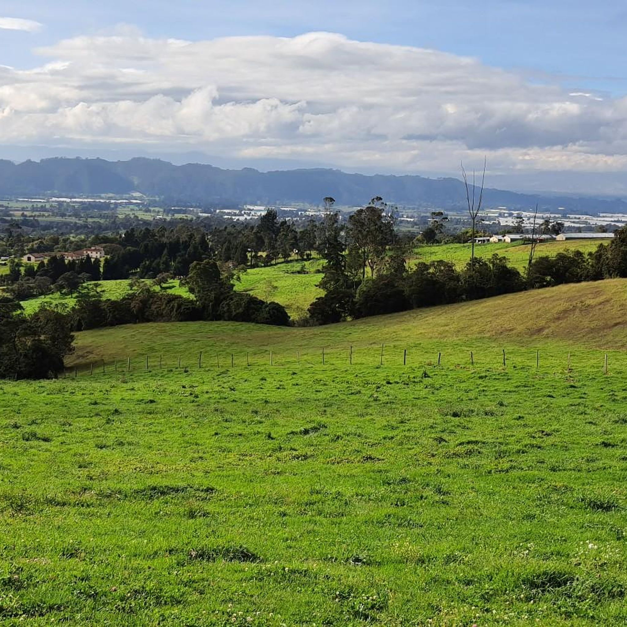
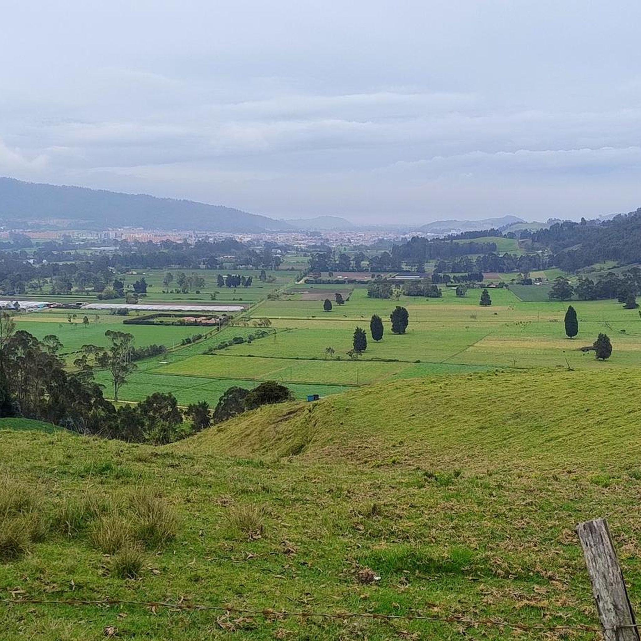
Road cycling routes in Anolaima are characterized by diverse landscapes and significant elevation changes within the Cundinamarca department of Colombia. The region features curvy mountains and rolling hills, with altitudes ranging from approximately 1,540 meters to over 1,700 meters on some routes. Rural roads provide a tranquil environment for cycling, offering challenging climbs and rewarding descents.
Best road cycling routes in Anolaima
- The most popular road cycling route is Bojacá Sign – Escarabajos Shop loop from Estación 1 - Facatativá…
Last updated: June 29, 2026
5.0
(6)
217
riders
105km
05:52
2,190m
2,190m
Hard road ride. Very good fitness required. Mostly well-paved surfaces and easy to ride.
5.0
(2)
43
riders
83.3km
04:54
1,970m
1,970m
Hard road ride. Very good fitness required. Some segments of this route may be unpaved and difficult to ride.

Sign up for free
32
riders
187km
11:03
4,670m
4,670m
Hard road ride. Very good fitness required. Mostly well-paved surfaces and easy to ride.
27
riders
123km
07:24
3,210m
3,210m
Hard road ride. Very good fitness required. Mostly well-paved surfaces and easy to ride.
5.0
(2)
12
riders
Moderate road ride. Good fitness required. Mostly well-paved surfaces and easy to ride.
Get access to more routes and recommendations from other explorers.
Sign up for free
Already have an account?
Our route recommendations are based on thousands of hikes, rides, and runs completed by other people on komoot.
Start today with a free account
Your next adventure awaits.
Login or Signup
Popular around Anolaima

Tips from the Community

Road in poor condition, be careful going down, many potholes and gaps.
0
0

A spectacular viewpoint... you can't miss stopping there. Warm weather, so be careful on the descent. Bring plenty of water.
0
0
go up in sona 2
1
0

Beetle shop, variety of breakfast options and quite comfortable
0
0
In front of the goat is a place to rest and eat.
0
0
Be careful on a bumpy road
0
0
Yes, it is safe and many women go out riding very frequently.
0
0

Excellent route and beautiful landscapes.
0
0
Frequently Asked Questions
What kind of terrain can I expect when road cycling in Anolaima?
Anolaima offers a dynamic environment for road cyclists, characterized by curvy mountains and rolling hills. You'll encounter significant elevation changes, with altitudes ranging from approximately 1,540 meters to over 1,700 meters on some routes, ensuring challenging climbs and rewarding descents. The region's rural roads are generally peaceful and less trafficked.
Are there road cycling routes suitable for beginners in Anolaima?
Yes, while many routes are challenging, there are options for less experienced riders. For instance, the View of Zipacón – Authentic Cornbread Café loop from Estación 1 - Facatativá is a moderate 29.9 km path that offers scenic views without being overly strenuous. The 'Alto de Anolaima' climb is also noted as suitable for those new to ascents due to its manageable complexity and pleasant climate.
What are the most challenging road cycling routes in Anolaima?
For experienced road cyclists seeking a challenge, Anolaima has several difficult routes. The Alto del Trigo – Alto de la Tribuna loop from Estación 1 - Facatativá is a demanding 122.5 km trail with substantial elevation gain. Another difficult option is the Bojacá Sign – Escarabajos Shop loop from Estación 1 - Facatativá, covering 105.4 km.
What natural features and landmarks can I see while cycling in Anolaima?
Anolaima's mountainous terrain provides expansive views of the cordillera and the distant Tequendama area. You'll cycle through lush countryside, extensive agricultural land, and diverse ecosystems ranging from warm Andean forests to tropical dry areas. The Curi River is a significant natural feature, and specific viewpoints offer picturesque stops to see the town of Anolaima and the cordillera.
What is the best time of year to go road cycling in Anolaima?
The climate in Anolaima is often described as tropical and ideal for outdoor activities, offering comfortable conditions for much of the year. This suggests that road cycling is enjoyable for most seasons, allowing cyclists to take advantage of the pleasant weather.
Are there any circular road cycling routes in Anolaima?
Yes, many of the routes in Anolaima are designed as loops, allowing you to start and end in the same location. Examples include the challenging Bojacá Sign – Escarabajos Shop loop from Estación 1 - Facatativá and the moderate View of Zipacón – Authentic Cornbread Café loop from Estación 1 - Facatativá.
What do other road cyclists say about the routes in Anolaima?
The road cycling routes in Anolaima are highly rated by the komoot community, with an average score of 4.8 stars from 19 reviews. Over 500 road cyclists have used komoot to explore the varied terrain, often praising the challenging climbs, rewarding descents, and the tranquil rural roads.
How many road cycling routes are available in Anolaima?
There are over 10 road cycling routes available in Anolaima, catering to various skill levels. This includes 1 easy route, 1 moderate route, and 9 difficult routes, ensuring options for both casual riders and experienced cyclists.
Are there any cafes or places to stop for refreshments along the road cycling routes?
While specific cafes are not detailed for every route, the region is known for its rural charm. The View of Zipacón – Authentic Cornbread Café loop from Estación 1 - Facatativá route specifically mentions an 'Authentic Cornbread Café', indicating that local establishments can be found. Anolaima is also known as the 'fruit capital of Colombia', suggesting opportunities to find fresh produce and local treats.
What is the typical duration for road cycling routes in Anolaima?
The duration of routes varies significantly based on distance and difficulty. Moderate routes like the View of Zipacón – Authentic Cornbread Café loop from Estación 1 - Facatativá can be completed in about 1 hour 33 minutes, while more challenging routes such as the Alto del Trigo – Alto de la Tribuna loop from Estación 1 - Facatativá can take around 7 hours 24 minutes.
Is Anolaima a good destination for road cyclists looking for less crowded routes?
Yes, the rural roads of Anolaima are frequently described as peaceful and less trafficked. This provides a serene environment for cycling, allowing riders to immerse themselves in the natural surroundings and the quiet rhythm of rural life, making it ideal for those seeking less crowded experiences.
Most popular routes in Anolaima

Get inspired with the komoot mobile app


Explore more
Browse the best Road cycling routes in other regions.
