The best cycling routes in Anolaima
4.7
(6)
43
riders
3
rides
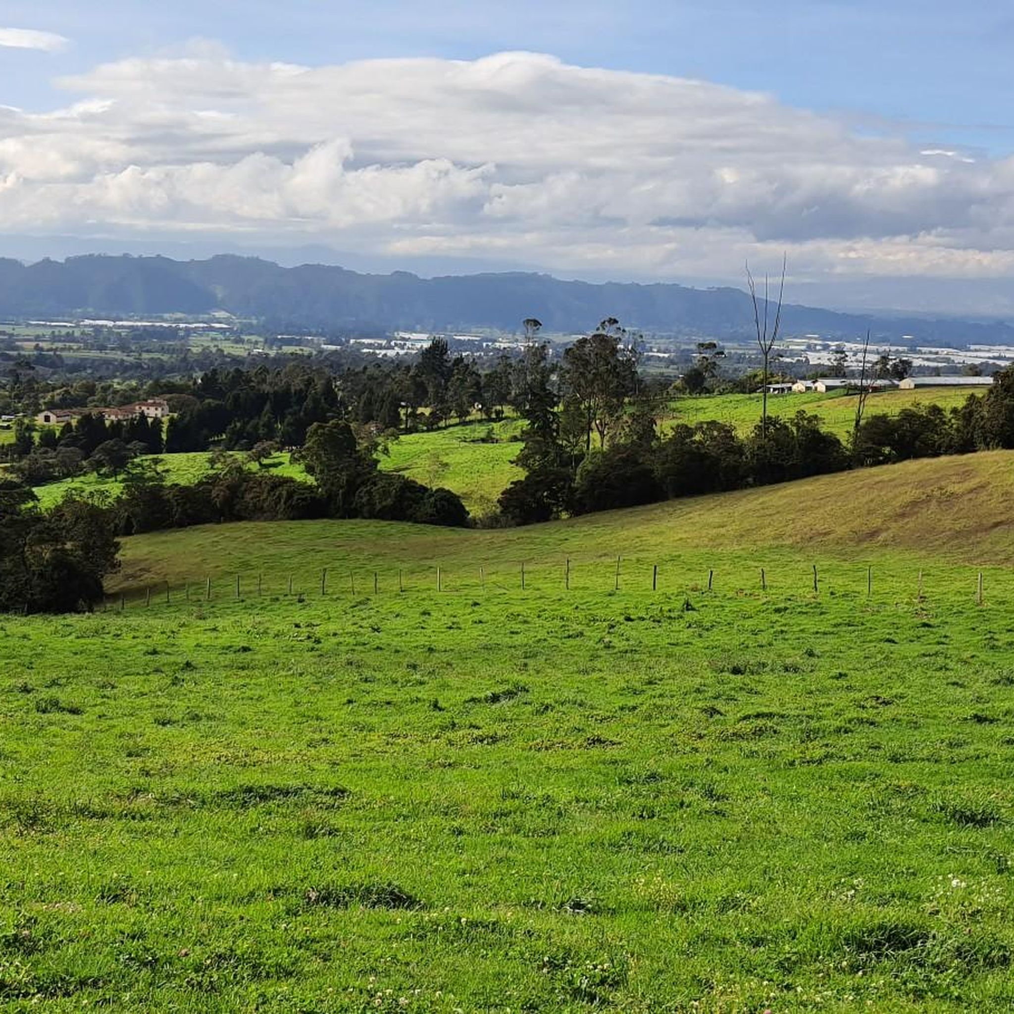
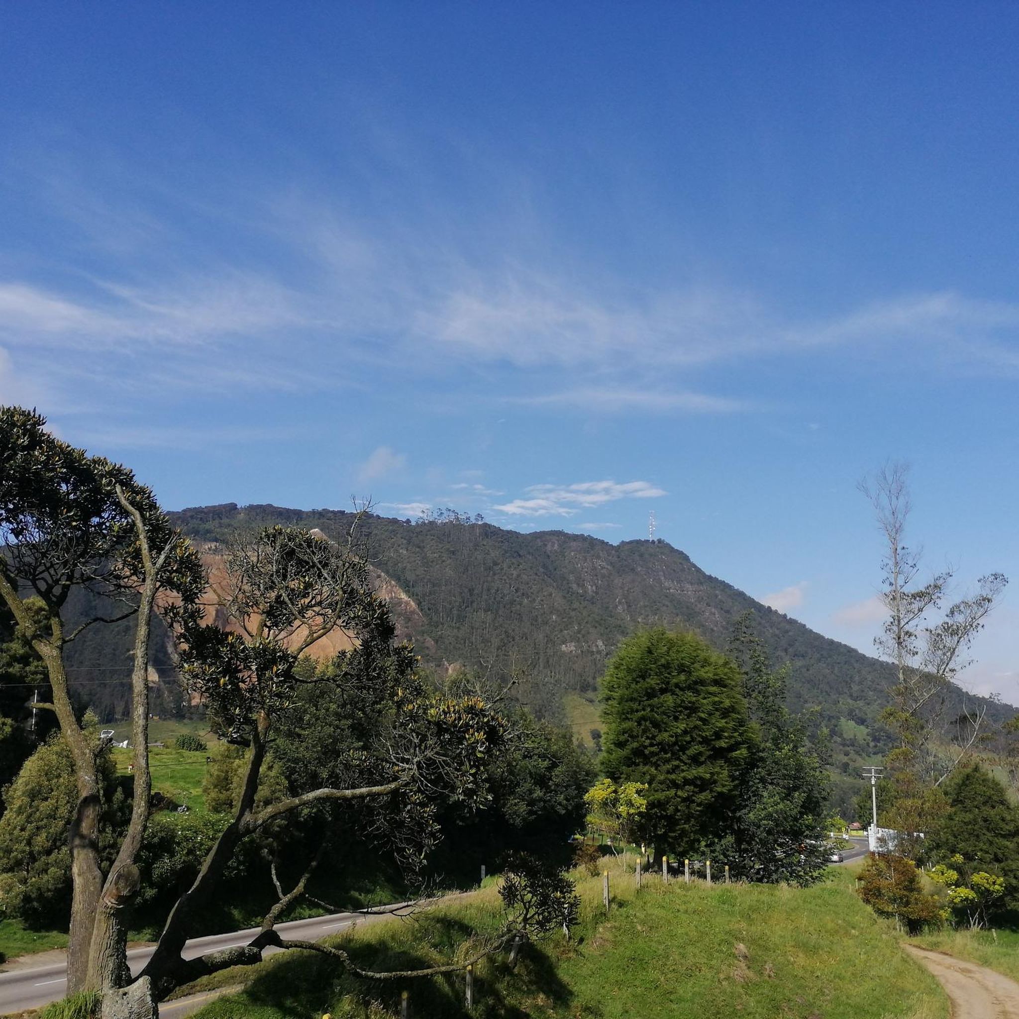
Touring cycling in Anolaima features diverse terrain, including curvy mountains and rolling hills, providing varied experiences for cyclists. The region is characterized by lush countryside and extensive agricultural land, with a network of dirt roads and rural paths. Different elevations create varied thermal levels, supporting diverse vegetation.
Best touring cycling routes in Anolaima
- The most popular touring cycling route is Vereda Mancilla – Alto de Padilla loop from Estación 1 - Facatativá, a 18.6 miles (29.9 km) trail that…
Last updated: June 28, 2026
4.3
(3)
17
riders
61.8km
05:14
1,360m
1,360m
Hard bike ride. Very good fitness required. Mostly paved surfaces. Suitable for all skill levels.
12
riders
121km
08:58
2,830m
2,830m
Hard bike ride. Very good fitness required. Mostly paved surfaces. Suitable for all skill levels.

Sign up for free
5.0
(3)
14
riders
33.1km
02:16
410m
410m
Moderate bike ride. Good fitness required. Mostly paved surfaces. Suitable for all skill levels.
Our route recommendations are based on thousands of hikes, rides, and runs completed by other people on komoot.
Start today with a free account
Your next adventure awaits.
Login or Signup
Popular around Anolaima

Tips from the Community


A safe place to train!!!
0
0

In this hotel restaurant you will find good food, good portions, good service and affordable prices.
0
0

here begins the uncovered ascent that can take it to the scale
1
0


Highest point on the road between Facatativá and La Vega. It is the border between the municipalities of Facatativá and La Vega
1
0

Good training, also for a walk, in La Vega start with a good roscón resobo, and take to eat at the top. Safe route, good berm, many fellow cyclists of all levels, so as not to feel alone.
0
0
Frequently Asked Questions
What kind of terrain can I expect on touring cycling routes in Anolaima?
Anolaima's touring cycling routes are characterized by curvy mountains and rolling hills, offering varied experiences. You'll traverse lush countryside and extensive agricultural land, often on a network of dirt roads and rural paths. The diverse elevations also mean varied thermal levels and vegetation.
Are there routes suitable for experienced touring cyclists seeking a challenge?
Yes, Anolaima offers challenging routes for experienced touring cyclists. For instance, the Alto de la Tribuna – Alto del Vino Rest Stop loop from Estación 1 - Facatativá is a difficult 119.9 km path featuring significant elevation changes and panoramic views. Another demanding option is the Alto del Vino Rest Stop – Alto de Canicas loop from Estación 2 - El Corzo, covering 81.1 km with over 1000 meters of ascent.
What are the options for moderate touring cycling routes in Anolaima?
For those looking for a moderate touring cycling experience, Anolaima has suitable options. The Vereda Mancilla – Alto de Padilla loop from Estación 1 - Facatativá is a popular moderate route, spanning 29.9 km. Another great choice is the Alto del Vino Rest Stop – Alto El Vino loop from Facatativá, a 33.7 km trail through agricultural landscapes.
What is the best time of year for touring cycling in Anolaima?
Anolaima experiences different thermal levels due to its varied elevations. While specific 'best season' data isn't available, the region's diverse climate suggests that conditions can vary. It's always advisable to check local weather forecasts closer to your travel dates, especially considering the mountainous terrain.
Are there any circular touring cycling routes available?
Yes, all the featured touring cycling routes in Anolaima are circular loops. This includes routes like the Vereda Mancilla – Alto de Padilla loop from Estación 1 - Facatativá and the longer Alto de la Tribuna – Alto del Vino Rest Stop loop from Estación 1 - Facatativá, allowing you to start and finish at the same point.
What kind of natural attractions or viewpoints can I expect to see along the routes?
The region is known for its lush countryside, extensive agricultural land, and the Río Curí. Cyclists can expect panoramic views from higher elevations, especially on routes like the Alto de la Tribuna – Alto del Vino Rest Stop loop. The presence of pine trees in cooler, higher areas also adds to the scenic beauty.
What is the local atmosphere like in Anolaima for cyclists?
Anolaima offers a charming Colombian countryside experience. As the 'fruit-producing capital of Colombia,' you'll encounter vibrant agricultural landscapes. The small towns feature bustling squares with 'tiendas,' restaurants, and bars, providing opportunities for cultural immersion and refreshments during your tours.
How do other touring cyclists rate the routes in Anolaima?
The touring cycling routes in Anolaima are highly rated by the komoot community, with an average score of 4.9 stars from 27 reviews. Over 80 touring cyclists have used komoot to explore the varied terrain, often praising the challenging yet rewarding nature of the rides and the scenic landscapes.
Are there places to eat or rest along the touring cycling routes?
While specific cafes or restaurants directly on the routes are not detailed, Anolaima's towns are known for their 'bustling squares surrounded by small tiendas, restaurants, and bars.' These provide excellent opportunities for refreshment and rest, especially in areas like Facatativá, which serves as a starting point for several tours.
What should I know about parking or public transport when planning a touring cycling trip to Anolaima?
Information on specific parking facilities for cyclists or direct public transport links to trailheads is not detailed. However, many routes start from towns like Facatativá, which typically have general parking options and public transport connections. It's recommended to research local transport and parking in your chosen starting point prior to your trip.
What are the typical elevation gains on Anolaima's touring cycling routes?
Anolaima's routes feature significant elevation changes due to its mountainous and hilly terrain. For example, the difficult Alto de la Tribuna – Alto del Vino Rest Stop loop from Estación 1 - Facatativá involves over 2800 meters of ascent, while the moderate Vereda Mancilla – Alto de Padilla loop from Estación 1 - Facatativá has an elevation gain of around 428 meters.
Most popular routes in Anolaima

Get inspired with the komoot mobile app


Explore more
Browse the best Cycling routes in other regions.
