The best mountain hikes around Albert Canal
4.0
(2)
8
hikers
4
hikes
Mountaineering routes around Albert Canal traverse a landscape shaped by both natural features and significant engineering. The region is characterized by a limestone mountain range, where the canal's construction has created impressive steep rock walls and marlstone formations. While not a traditional mountaineering destination for technical climbing, the area offers routes with notable elevation changes and varied terrain, particularly around the canal's passage through these hills. These routes often combine views of the waterway with historical landmarks.
Best mountaineering routes…
Last updated: June 26, 2026
1
hikers
10.9km
03:03
190m
190m
Moderate mountaineering route. Good fitness required. Easily-accessible paths. Suitable for all skill levels.
4.0
(2)
5
hikers
16.7km
04:36
270m
270m
Hard mountaineering route. Good fitness required. Sure-footedness, sturdy shoes and alpine experience required.

Sign up for free
2
hikers
7.16km
01:57
100m
100m
Easy mountaineering route. Great for any fitness level. Easily-accessible paths. Suitable for all skill levels.
6.64km
01:48
90m
90m
Easy mountaineering route. Great for any fitness level. Easily-accessible paths. Suitable for all skill levels.
Our route recommendations are based on thousands of hikes, rides, and runs completed by other people on komoot.
Start today with a free account
Your next adventure awaits.
Login or Signup
Popular around Albert Canal

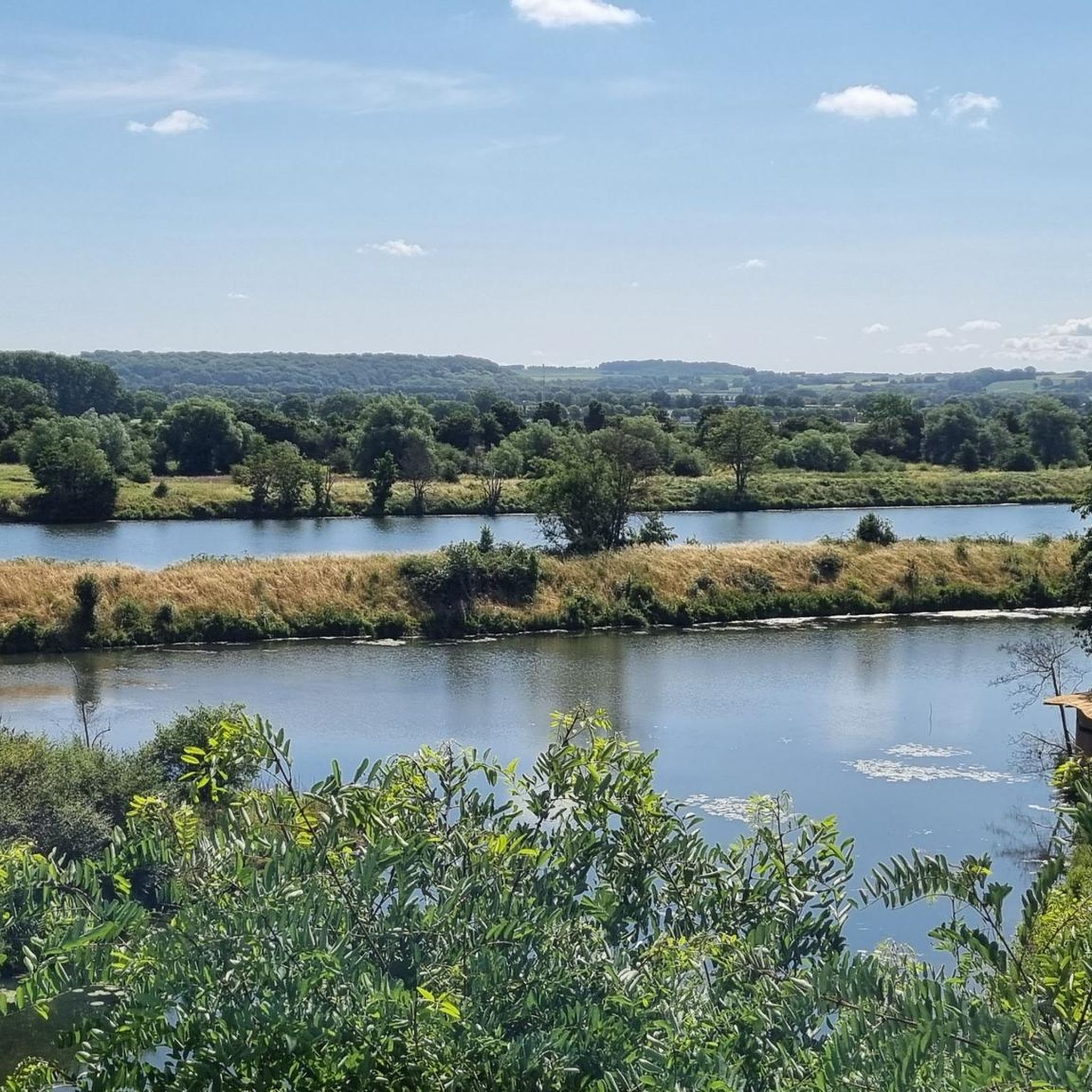
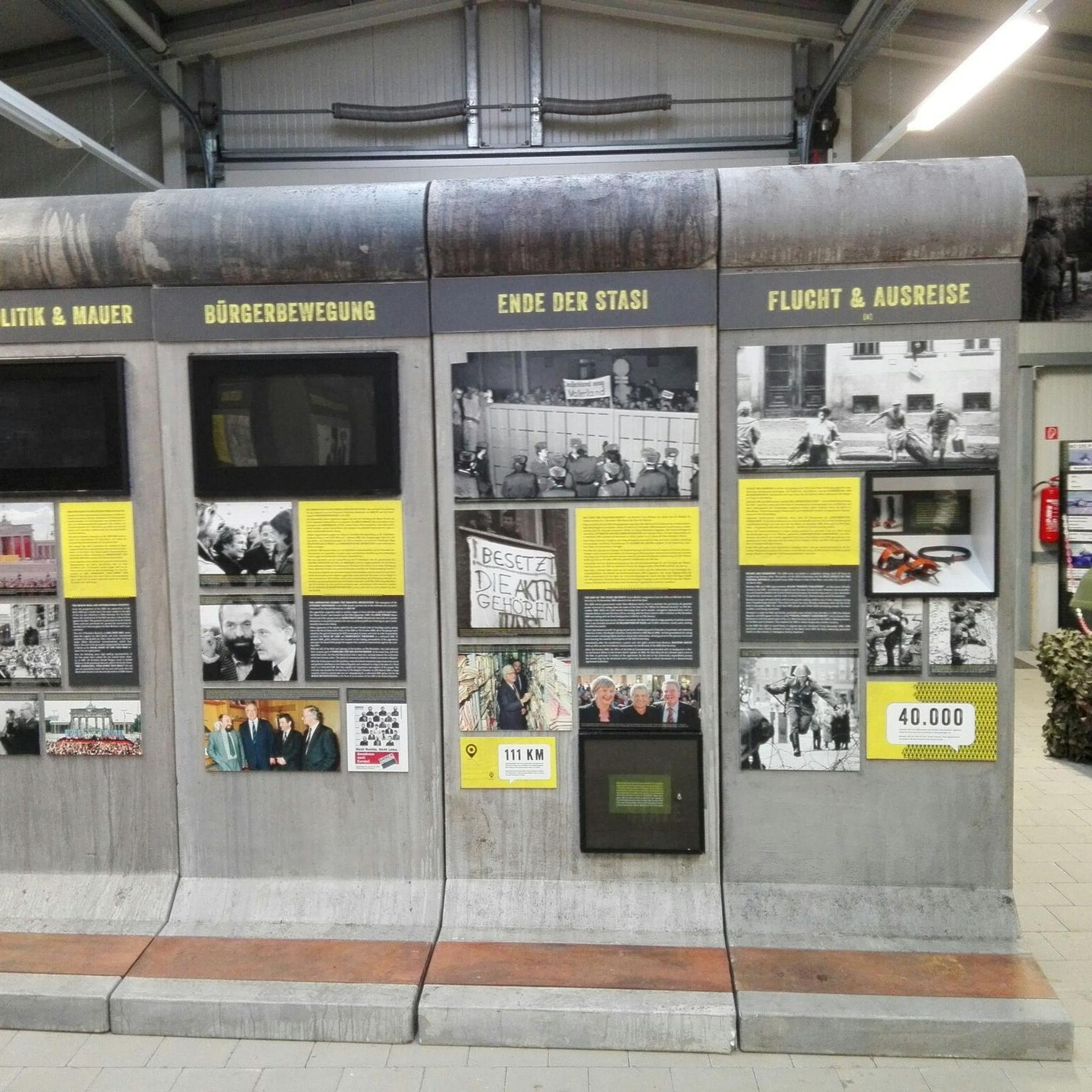
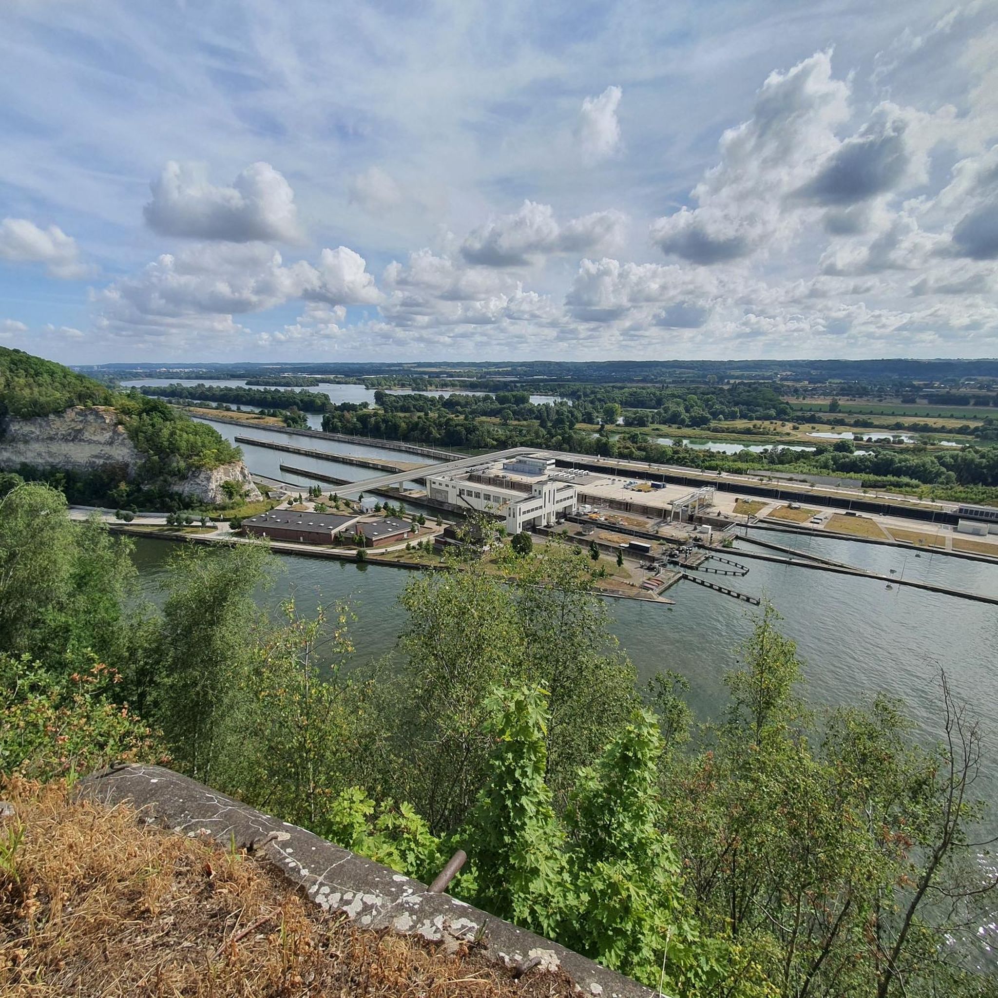


Tips from the Community

The Moulin du Broukay is a former flint mill on the Geer River near Eben-Emael, built in the 1950s as an industrial flint-grinding mill. It primarily served the Meuse Valley foundations but later fell into disrepair. Today, it is a renovated cultural and recreational center with a café-restaurant, meeting and function rooms, and a starting point for hiking trails in the Montagne Saint-Pierre. The area is part of the "Archéo et Géo Espaces - Moulin du Broukay," which showcases the geology, archaeology, and industrial history of the Jeker/Geer Valley.
4
0

Boundary marker 1845 doesn't exist. Each marker is marked 1843, the year, and a number from 1 to 369.
1
0
Very challenging and very steep. Be careful here. There is a rope, best to use it.
1
0
There are old flint quarries in this area: the “Carrières de silex du Thier des Vignes”.
1
0
It's a small but valuable reserve consisting of calcareous grasslands, scrub, and former quarry and slope areas. Thanks to the calcareous soil, rare plants such as orchids and thyme thrive here, and butterflies and insects abound. It's a quiet, sunny spot where nature has slowly reclaimed the old quarry slopes.
1
0

Very nice location. Something major seems to have happened here over the weekend (late August 25th), and the following Monday there was a big cleanup.
14
0

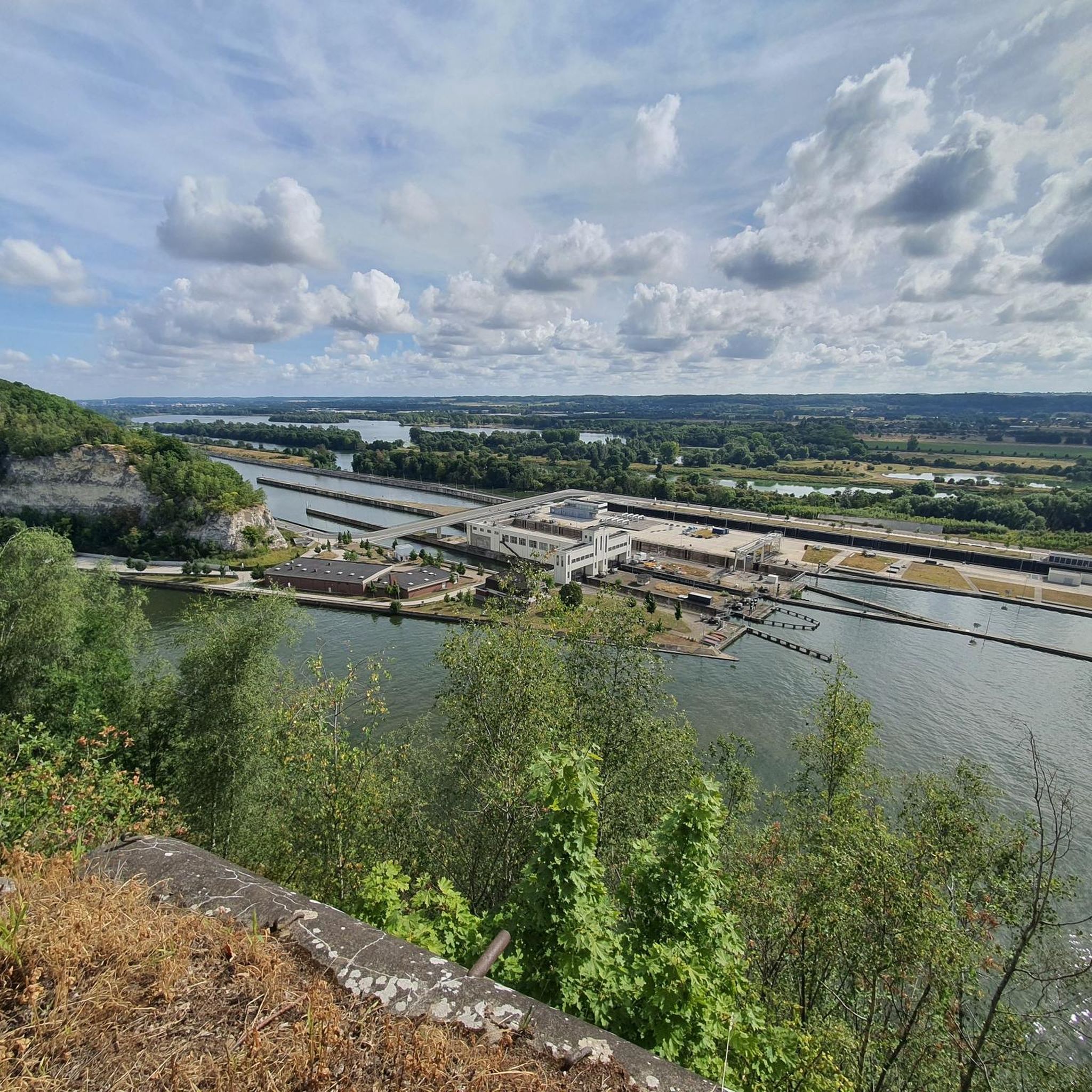
Block 01 is one of the observation and gun emplacements of the iconic Fort Eben-Emael. From this vantage point, you have an impressive view of the Albert Canal and the surrounding area. It's not only a strategic historical point but also a stunning panoramic viewpoint for hikers and photographers. Ideal for a short break during your tour of the area. Tip: Visit on a clear day – you can see for miles!
2
0
A mysterious flint cave on the edge of the Albert Canal, near the locks at Klein Ternaaien. You reach the entrance via a steep path through the woods. The caves are dark, cool, and full of atmosphere—perfect for those who love hidden natural spaces. Bring a flashlight and good walking shoes!
2
0
Frequently Asked Questions
What kind of mountaineering experience can I expect around the Albert Canal?
Mountaineering routes around the Albert Canal offer a unique experience, traversing a landscape shaped by both natural limestone formations and significant engineering. While not a traditional destination for technical climbing, the area features impressive steep rock walls and marlstone formations created by the canal's construction. You'll find routes with notable elevation changes and varied terrain, often combining views of the waterway with historical landmarks.
Are there any easy mountaineering routes suitable for beginners?
Yes, the Albert Canal area offers several easy mountaineering routes. For instance, the Fort Sint Pieter – ENCI Quarry Viewpoint loop from Maastricht is an easy 4.4-mile (7.1 km) trail that takes about 1 hour 55 minutes. Another accessible option is the Moulin du Broukay – Broukay Mill loop from Bassenge, which is 4.1 miles (6.6 km) long.
What are some of the more challenging mountaineering routes in the area?
For those seeking a more challenging experience, the Fort Sint Pieter – Château Neercanne loop from Maastricht is a difficult 10.4-mile (16.7 km) path. This route features significant elevation gain and diverse scenery, making it a favorite among local mountaineers looking for a strenuous hike.
How long do the mountaineering routes typically take to complete?
The duration of mountaineering routes around the Albert Canal varies depending on the trail and your pace. Easy routes like the Fort Sint Pieter – ENCI Quarry Viewpoint loop from Maastricht can be completed in under 2 hours. Moderate routes, such as the Fort Eben-Emael – View of the Lanaye Locks loop from Eben-Emael, typically take around 3 hours. Longer, more difficult trails can take 4.5 hours or more.
Are there any circular mountaineering routes available?
Yes, all the mountaineering routes highlighted in this guide are circular loops, offering convenient starting and ending points. This includes popular options like the Fort Eben-Emael – View of the Lanaye Locks loop from Eben-Emael and the Fort Sint Pieter – Château Neercanne loop from Maastricht.
What natural features and landmarks can I see along the routes?
The routes offer a blend of natural beauty and historical interest. You'll encounter impressive marlstone walls and limestone formations, particularly near Kanne where the canal cuts through a mountain range. Notable landmarks include the Lanaye Lock, a significant piece of engineering, and the historic Fort Eben-Emael. You might also spot the Kanne Bridge and the Vroenhoven Bridge, which offer scenic views over the canal.
Are there any caves or unique geological sites to explore nearby?
Yes, the region is known for its unique geological features. You can explore the Thier des Vignes Flint Caves and the St. Pietersberg Marl Caves, which offer a glimpse into the area's subterranean landscape. These sites provide an interesting contrast to the open-air mountaineering routes.
What do other mountaineers enjoy most about the Albert Canal routes?
The routes around the Albert Canal are highly rated by the komoot community, with an average score of 4.0 stars. Reviewers often praise the unique blend of natural scenery, including the limestone formations and steep rock walls, combined with the historical significance of landmarks like Fort Eben-Emael and the impressive canal infrastructure. The varied terrain and views of the waterway are frequently highlighted as enjoyable aspects.
Is the Albert Canal area suitable for family-friendly outings?
While the guide focuses on mountaineering, many of the trails, especially the easier ones with less elevation gain, can be adapted for family-friendly hikes. The well-paved service roads along the canal are generally suitable for walking and cycling, offering picturesque views. Always check the specific route details for distance and difficulty to ensure it matches your family's capabilities.
Can I bring my dog on the mountaineering trails?
Generally, dogs are welcome on hiking trails in the Albert Canal region, provided they are kept on a leash and you clean up after them. It's always a good idea to check local regulations or specific trail signs for any restrictions before heading out with your canine companion.
What is the best time of year to go mountaineering around the Albert Canal?
The Albert Canal region is enjoyable for outdoor activities throughout much of the year. Spring and autumn offer pleasant temperatures and beautiful scenery, with fewer crowds. Summer can be warm but is also popular, while winter can provide a different, quieter experience, though some paths might be muddy or slippery. Always check the local weather forecast before your trip.
Are there places to eat or stay near the mountaineering routes?
The Albert Canal passes through or near several towns and villages, such as Kanne, Lanaken, and Maastricht. These areas typically offer a range of cafes, pubs, and accommodation options where you can refuel and relax after your mountaineering adventure. It's advisable to check in advance for specific establishments along your chosen route.
Most popular routes around Albert Canal
Most popular attractions around Albert Canal

Get inspired with the komoot mobile app


