The best walks and hikes around Albert Canal
4.4
(55457)
316,550
hikers
34
hikes
Hiking around Albert Canal features diverse landscapes along its 130-kilometer stretch, offering a mix of engineered waterways and natural geological formations. The region is characterized by largely flat, accessible towpaths along the canal, contrasting with more rugged terrain around limestone hills like Mount Saint Peter. Hikers can explore areas bounded by the Meuse River, which has carved out backwaters and old channels, adding to the natural diversity. The canal itself cuts through ridges, creating dramatic landscapes and varied hiking experiences.
…Last updated: May 17, 2026
4.6
(245)
890
hikers
8.11km
02:11
110m
110m
Moderate hike. Good fitness required. Mostly accessible paths. Sure-footedness required.
4.7
(383)
2,161
hikers
18.0km
04:59
310m
310m
Hard hike. Good fitness required. Sure-footedness, sturdy shoes and alpine experience required.

Sign up for free
4.8
(44)
165
hikers
18.0km
04:53
250m
250m
Moderate hike. Good fitness required. Easily-accessible paths. Suitable for all skill levels.
4.8
(39)
140
hikers
10.4km
02:50
150m
150m
Moderate hike. Good fitness required. Easily-accessible paths. Suitable for all skill levels.
4.3
(7)
47
hikers
7.00km
01:49
40m
40m
Easy hike. Great for any fitness level. Easily-accessible paths. Suitable for all skill levels.
Get access to more routes and recommendations from other explorers.
Sign up for free
Already have an account?
Our route recommendations are based on thousands of hikes, rides, and runs completed by other people on komoot.
Start today with a free account
Your next adventure awaits.
Login or Signup
Popular around Albert Canal




Tips from the Community

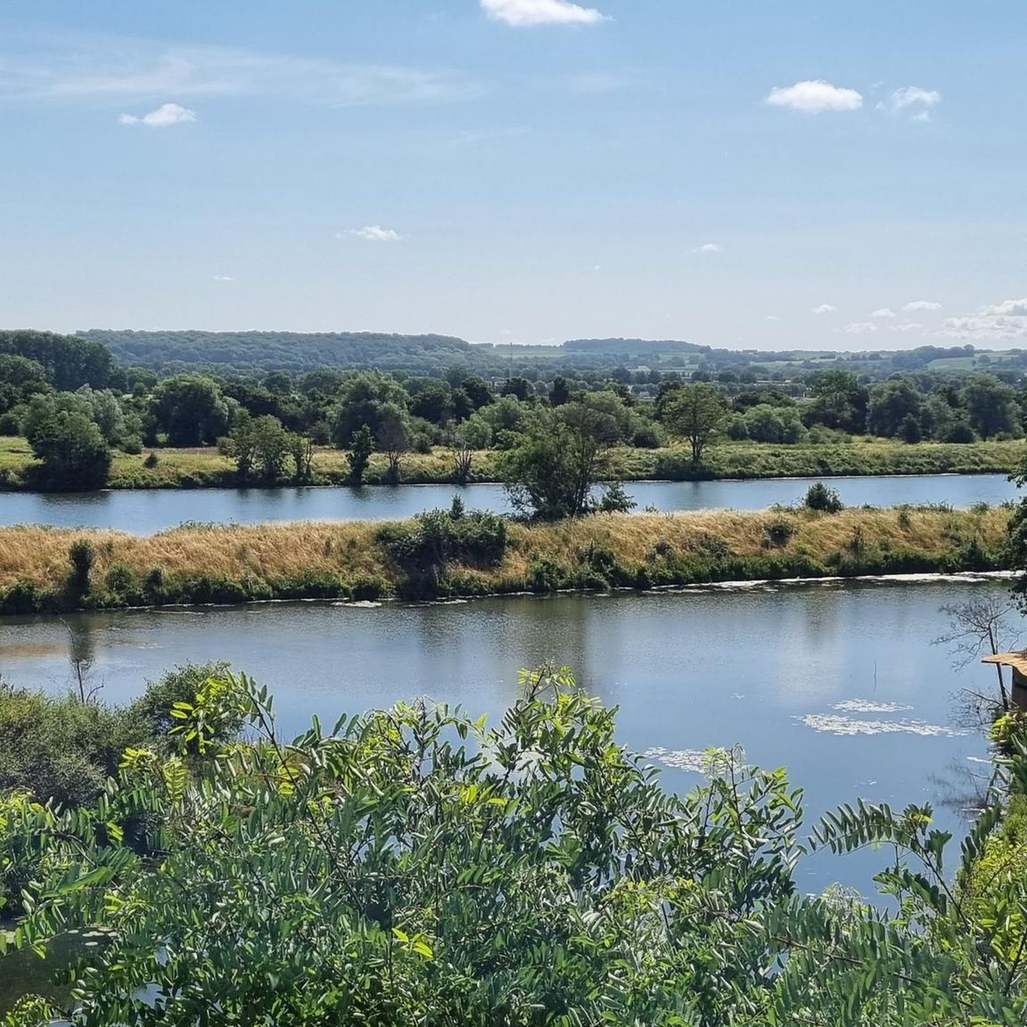
The detour to the ruin is worth it, especially to the ruin itself! The view is great, you look directly at the Maas.
0
0

The surroundings feel a bit French, but with a Dutch accent. 😉 Very pleasant walk..
4
0
De Smokkelmolen, an old gristmill on the Jeker. The mill is mentioned as existing before 1640 and was rebuilt in 1650, making the entire structure largely 17th-century. The year 1650 is still visible in iron S-shaped wall anchors on the facade. The building is constructed of white marlstone, has two superimposed mill dwellings, and a characteristic undershot wheel. The small bridge over the Jeker makes it a popular spot for hikers.
4
0

The Jeker (French: Geer or Jaer; Walloon: Djer; Latin: Jecora; Maastrichts: Eker) originates in the Belgian Lens-Saint-Servais near Borgworm, flows through a large part of Haspengouw and flows into the Maas near the Dutch city of Maastricht. The Jeker is approximately 55 km long. The Jeker valley has been carved out by the stream over thousands of years. Especially near the mouth in the Maas, the Jekerdal has quite steep slopes, in some cases covered with slope forests. The greatest height difference (near Bassenge) is 75 meters. At the height of Kanne, between Wonck and Maastricht, the Plateau of Caestert is located on the east side of the valley, with the Sint-Pietersberg among other things. On the west side of the Jekerdal, between Kanne and Maastricht, lies the Cannerberg, the southern part of which is also called Muizenberg.
4
0
From the castle of Neercanne, you can follow the stairs up to the entrance of the castle, where the terrace of Auberge Neercanne is located. The 52 steps are part of the baroque gardens on four levels and form a connection between the gardens and the castle.
1
0

For me, this is clearly the discovery of a hobbit house 😍😅
0
0

A very beautiful monument to peace.
1
0
An unusual, beautiful building with many great photo opportunities.
1
0
Frequently Asked Questions
What kind of terrain can I expect on hikes along the Albert Canal?
The Albert Canal region offers a diverse landscape. You'll find largely flat, accessible towpaths directly alongside the canal, which are often paved. In contrast, areas like Mount Saint Peter feature more rugged terrain with limestone hills and significant elevation changes. The region is also characterized by backwaters and old channels carved by the Meuse River, adding to the natural variety.
Are there options for different hiking abilities around the Albert Canal?
Yes, the Albert Canal region caters to a wide range of hiking abilities. Our guide features over 35 routes, with 20 easy trails, 12 moderate options, and 3 more difficult paths. This ensures there's something for everyone, from leisurely strolls to more challenging treks.
What natural features or landmarks can I see while hiking along the Albert Canal?
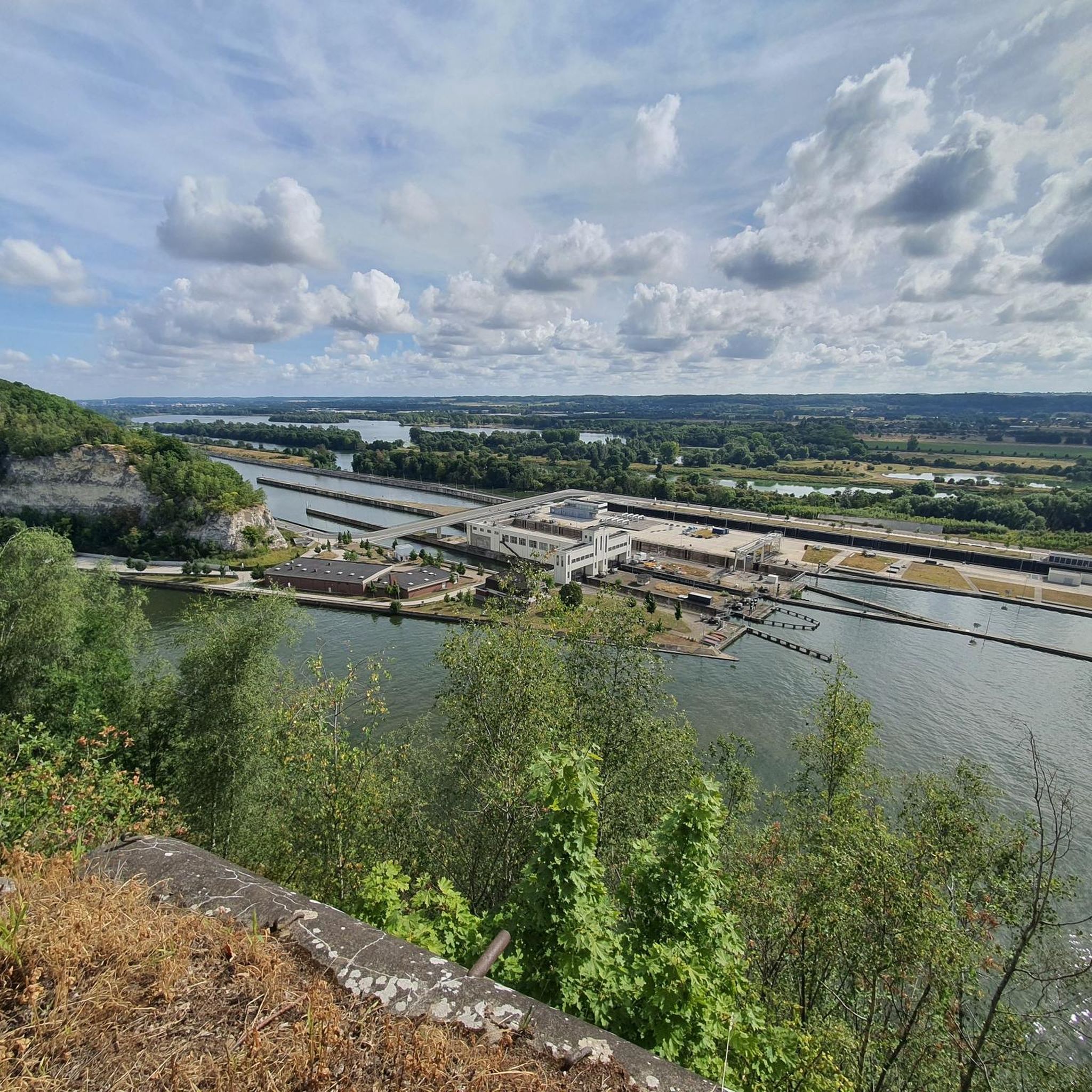
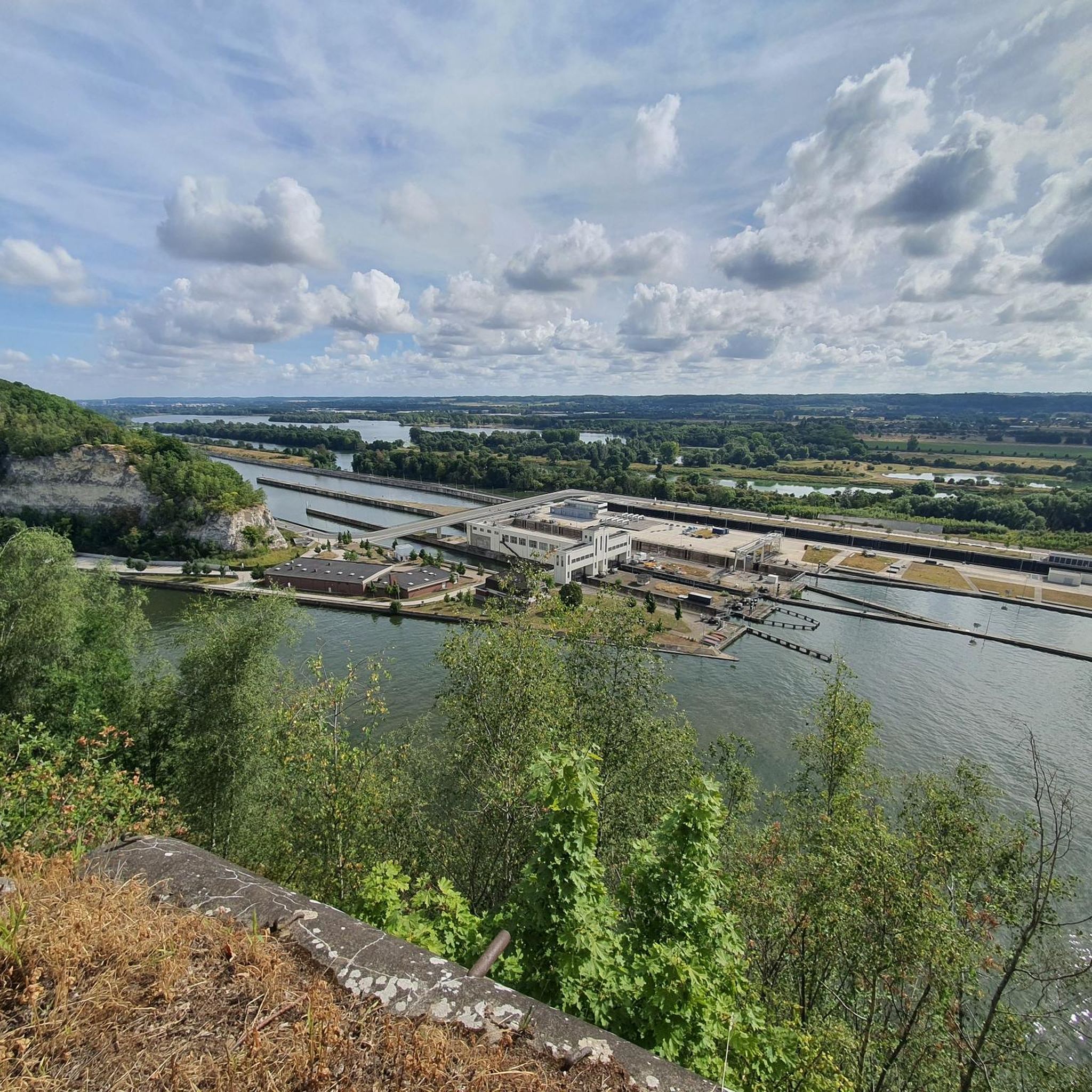
Hikers can explore a variety of natural features and landmarks. The canal itself is a prominent feature, and you can see impressive structures like the Lanaye Lock. Near Kanne, you'll find scenic views of a steep rock wall with a bunker integrated into it. The area also boasts unique geological formations like the limestone deposits and flint nodules of Mount Saint Peter, and the Meuse River's backwaters.
Are there any historical sites or interesting structures to explore?
Absolutely. The region is rich in history and interesting structures. You can visit the impressive Lanaye Lock, an important piece of infrastructure. Near Kanne, the Kanne Bridge offers pedestrian access and views. For those interested in historical sites, the Fort Sint Pieter – ENCI Quarry Viewpoint loop from Montagne Saint-Pierre explores the historical significance of the Mount Saint Peter area.
What is the typical length of hiking trails along the Albert Canal?
Hiking trails along the Albert Canal vary significantly in length. For instance, the Kanne Grenzeloos - Orange hiking route is about 8.1 km (5.0 miles), while the Path to De Apostelhoeve – Château Neercanne loop from Kanne extends to approximately 18 km (11.2 miles). There are options for short, easy walks and longer, more challenging day hikes.
Are the hiking trails around the Albert Canal suitable for families with children?
Yes, many trails along the Albert Canal are suitable for families. The largely flat and accessible towpaths provide easy walking surfaces. For example, the Albert Canal at Cannerberg – Vroenhoven Bridge loop from Kanne is an easy 7 km (4.4 miles) trail that is often completed in under two hours, making it a good option for families.
Can I bring my dog on the hiking trails?
Generally, many hiking trails along the Albert Canal are dog-friendly, especially the canal-side paths. However, it's always recommended to check specific trail regulations or local signage, as some nature reserves or protected areas might have restrictions or require dogs to be on a leash.
What are the parking options for hikers?
Parking facilities are generally available near popular starting points for hikes along the Albert Canal, particularly in villages like Kanne or Montagne Saint-Pierre. It's advisable to check specific route descriptions on komoot for details on parking availability at the trailhead you plan to use.
How can I reach the hiking trails using public transport?
Public transport options exist to reach various points along the Albert Canal, particularly in larger towns or villages situated on the canal. Buses often connect these locations. For specific trailheads, it's best to research local bus routes that serve the starting point of your chosen hike.
Are there places to eat or stay near the hiking trails?
Yes, villages and towns along the Albert Canal, such as Kanne, Vroenhoven, and areas around Montagne Saint-Pierre, offer various amenities. You can find cafes, pubs, and accommodation options to refuel or stay overnight, making it convenient for longer hiking trips.
What is the best time of year to hike along the Albert Canal?
The Albert Canal region is enjoyable for hiking throughout much of the year. Spring and autumn offer pleasant temperatures and beautiful scenery, with blooming flora or vibrant fall colors. Summer is also popular, though paths can be busier. Winter hiking is possible, but some unpaved sections might be muddy, and daylight hours are shorter.
Do I need any permits to hike in the Albert Canal region?
Generally, no specific permits are required for hiking on public trails along the Albert Canal. However, if you plan to enter any designated nature reserves or private lands, it's always wise to check for any specific access rules or requirements.
What do other hikers enjoy most about the Albert Canal trails?
The Albert Canal trails are highly rated by the komoot community, with an average score of 4.4 stars from over 11,000 reviews. Hikers often praise the tranquil canal-side paths, the unique geological features of Mount Saint Peter, and the variety of routes that cater to different fitness levels. The scenic views, particularly near Kanne, are frequently highlighted as a favorite aspect.
Most popular routes around Albert Canal
Most popular attractions around Albert Canal

Get inspired with the komoot mobile app


Explore more
Browse the best Hikes in other regions.
