Attractions and Places To See in Testa D'Alpe - Alto - Top 8
Best attractions and places to see in Testa D'Alpe - Alto, situated in the Ligurian Alps, is known for its diverse natural beauty and historical significance. The region features prominent peaks like Testa D'Alpe, offering panoramic views of the Val Roya and the Ligurian Sea, alongside extensive coniferous forests. Visitors can explore ancient archaeological discoveries and well-preserved military fortifications, reflecting the area's rich past. Testa D'Alpe - Alto provides a blend of rugged mountain landscapes and intriguing cultural sites.
Best…
Last updated: August 15, 2026
Gouta Gorge Refuge
Highlight • Mountain Hut
Translated by Google •
Tip by

Camporosso–Gouta Military Road
Highlight • Trail
Translated by Google •
Tip by
Sign up now to discover places like this
Get recommendations on the best single tracks, peaks, & plenty of other exciting outdoor places.
Sign up for free
Scenic Trail of Testa d'Alpe - Alto
Highlight • Trail
Translated by Google •
Tip by

Margheria dei Boschi
Highlight • Forest
Translated by Google •
Tip by
Alta Via dei Monti Liguri
Highlight (Segment) • Trail
Translated by Google •
Tip by

Sign up for free to discover even more attractions in Testa D'Alpe - Alto.
Sign up for free
Already have an account?
Start today with a free account
Your next adventure awaits.
Login or Signup
Tips from the Community

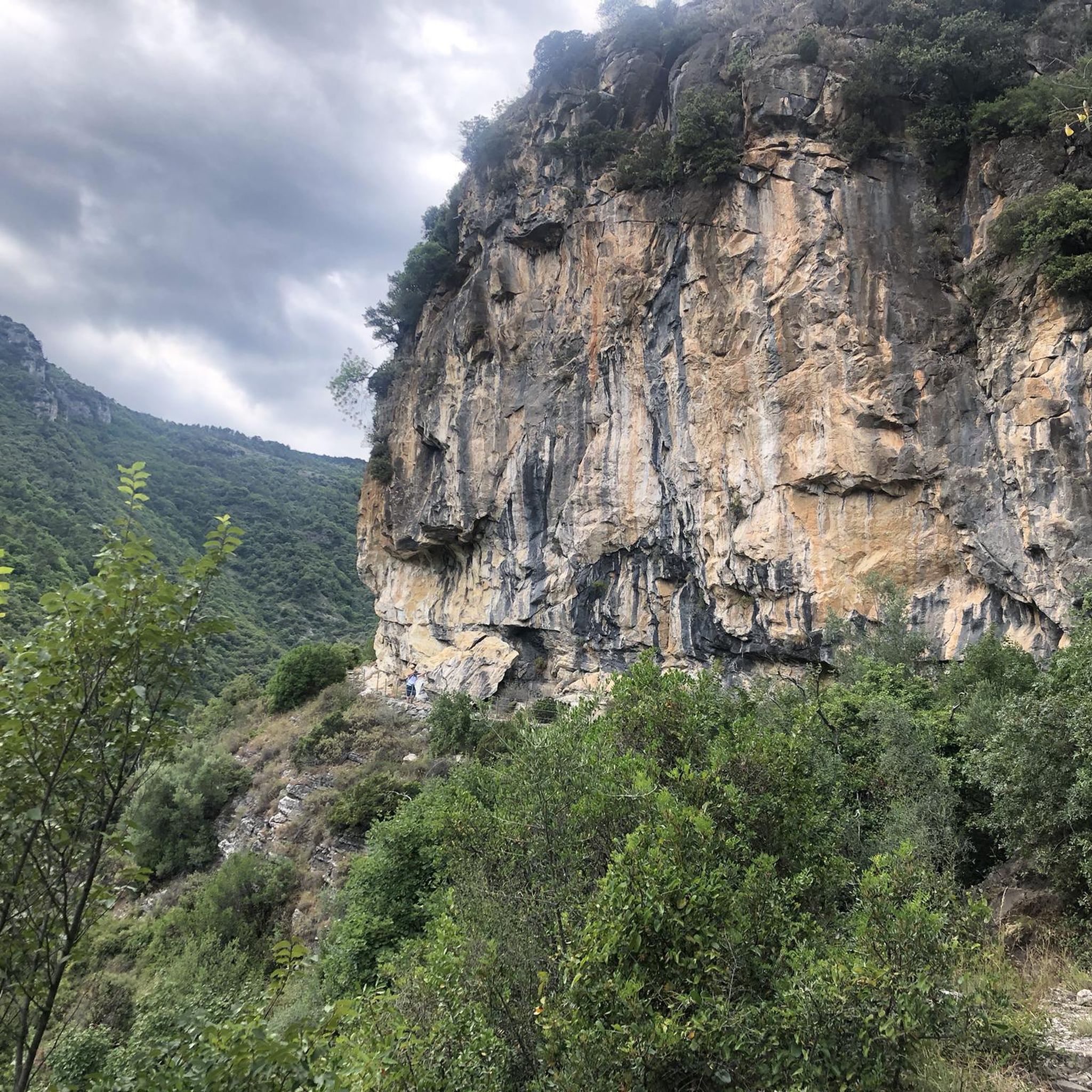
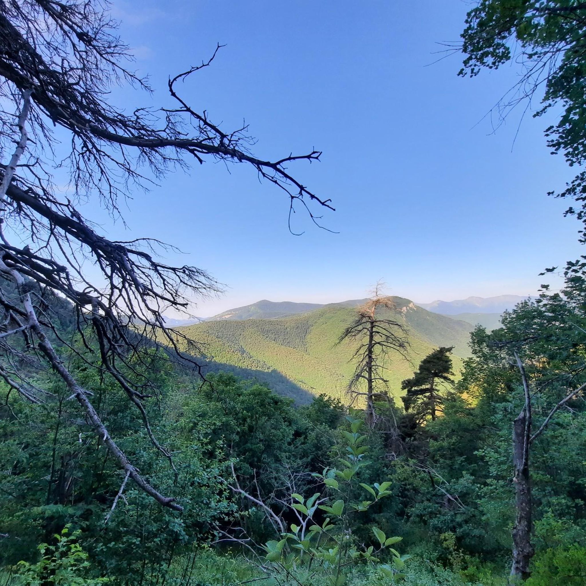
The area was the arrival point of the troops headed to the front and the various forts, as well as a place to celebrate mass all together. Even now, slightly to the north, you can see the altar. At the Gouta refuge you can see a photo of one of these celebrations on the wall. Really interesting. In fact, from here, some paths start that go straight to the forts located above. I also point out here the only fountain in the area, which however has been piped for private use and therefore you can only use it if you like (find someone who draws water or they have left the door open). Remember that all of Gouta has no springs ... 2. l
0
0
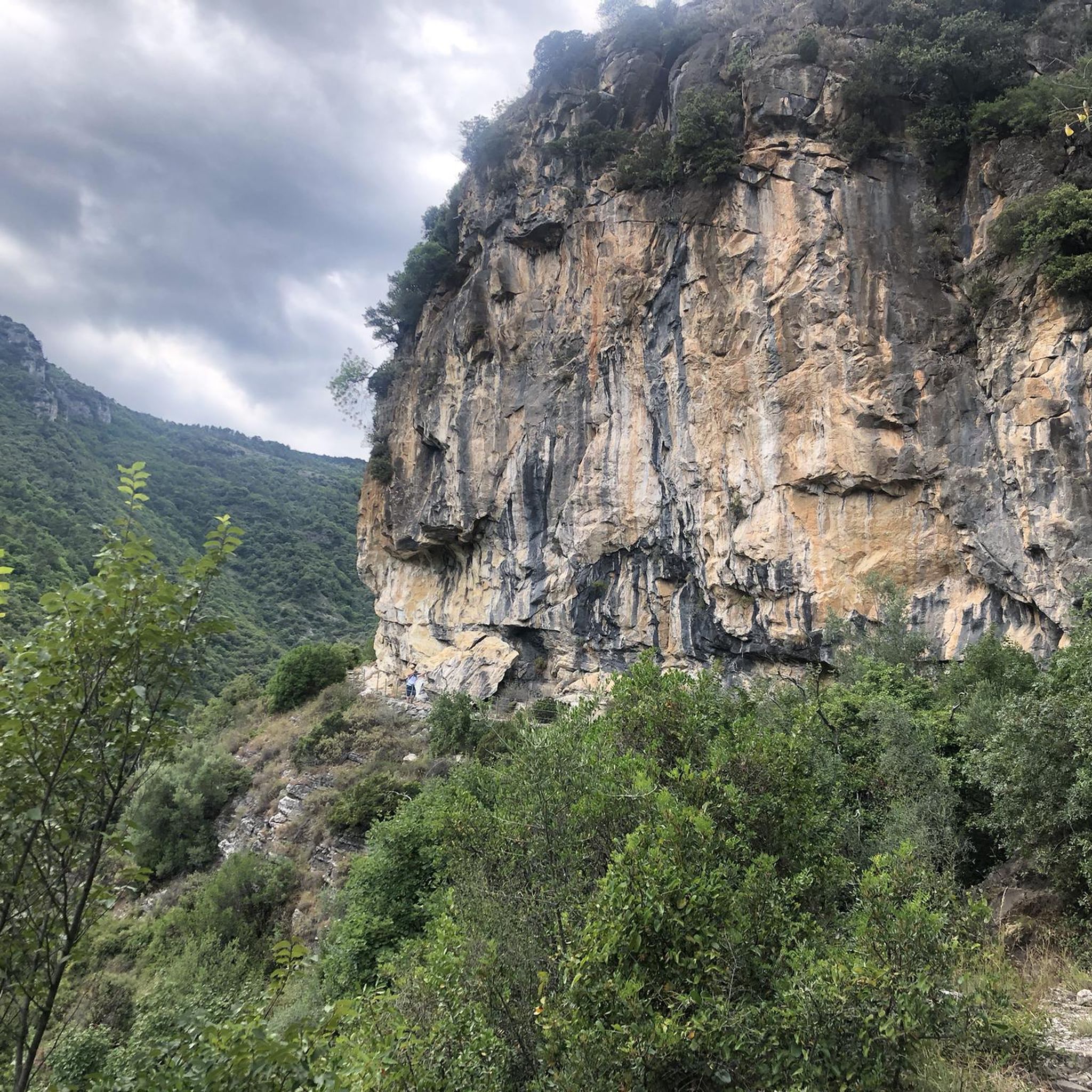
The only restaurant and refuge in Gouta. You can eat excellent tagliatelle with mushrooms from the area. The rooms to sleep in are spartan but if you want to continue it is the only place to sleep. The next is the Allavena refuge. On foot you can go down the road to get to Margheria dei Boschi.
1
0
signposts to find the right path, but if you have GPS you won't have any doubts..
0
0
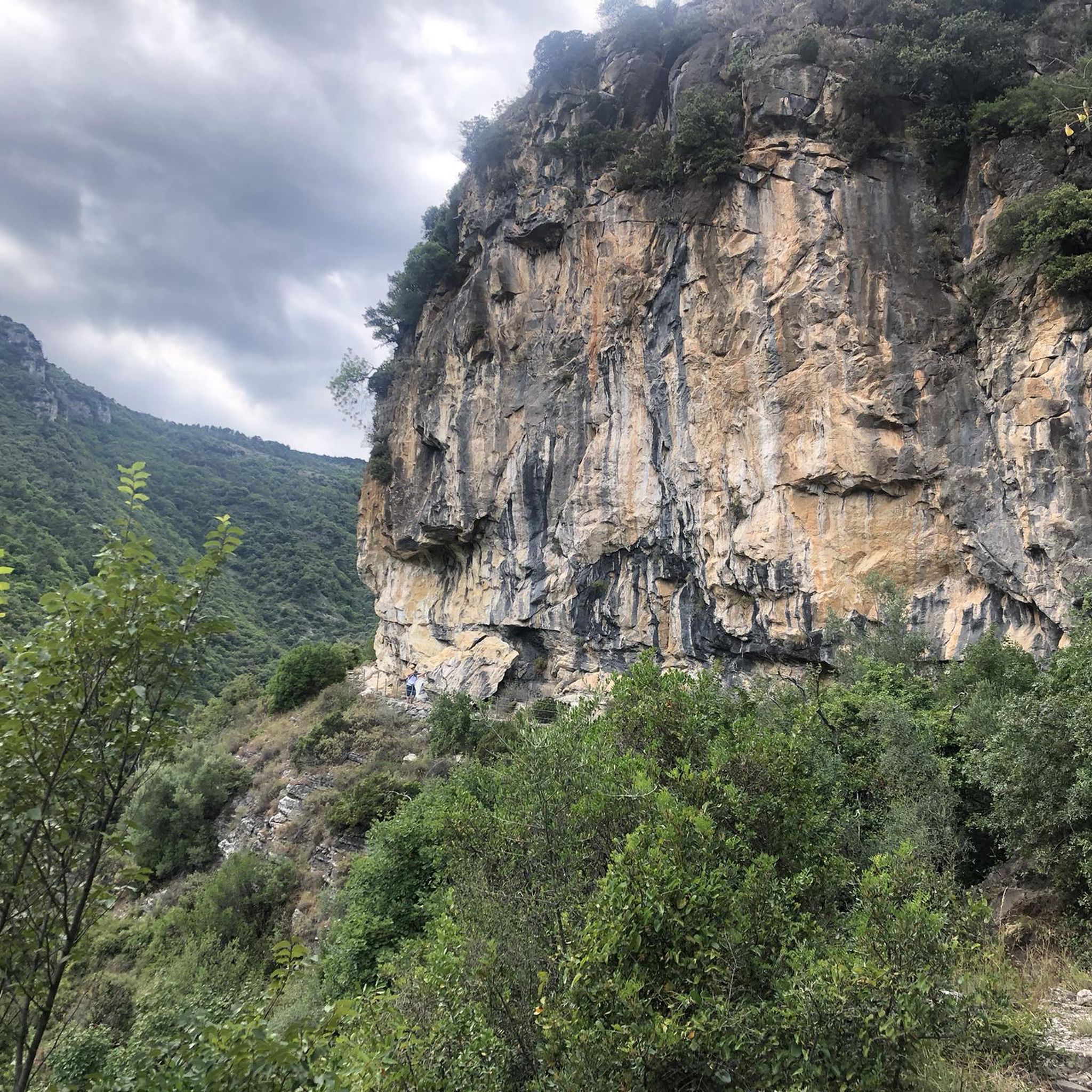
old military road at high altitude, very panoramic, spectacular I would say!
1
0
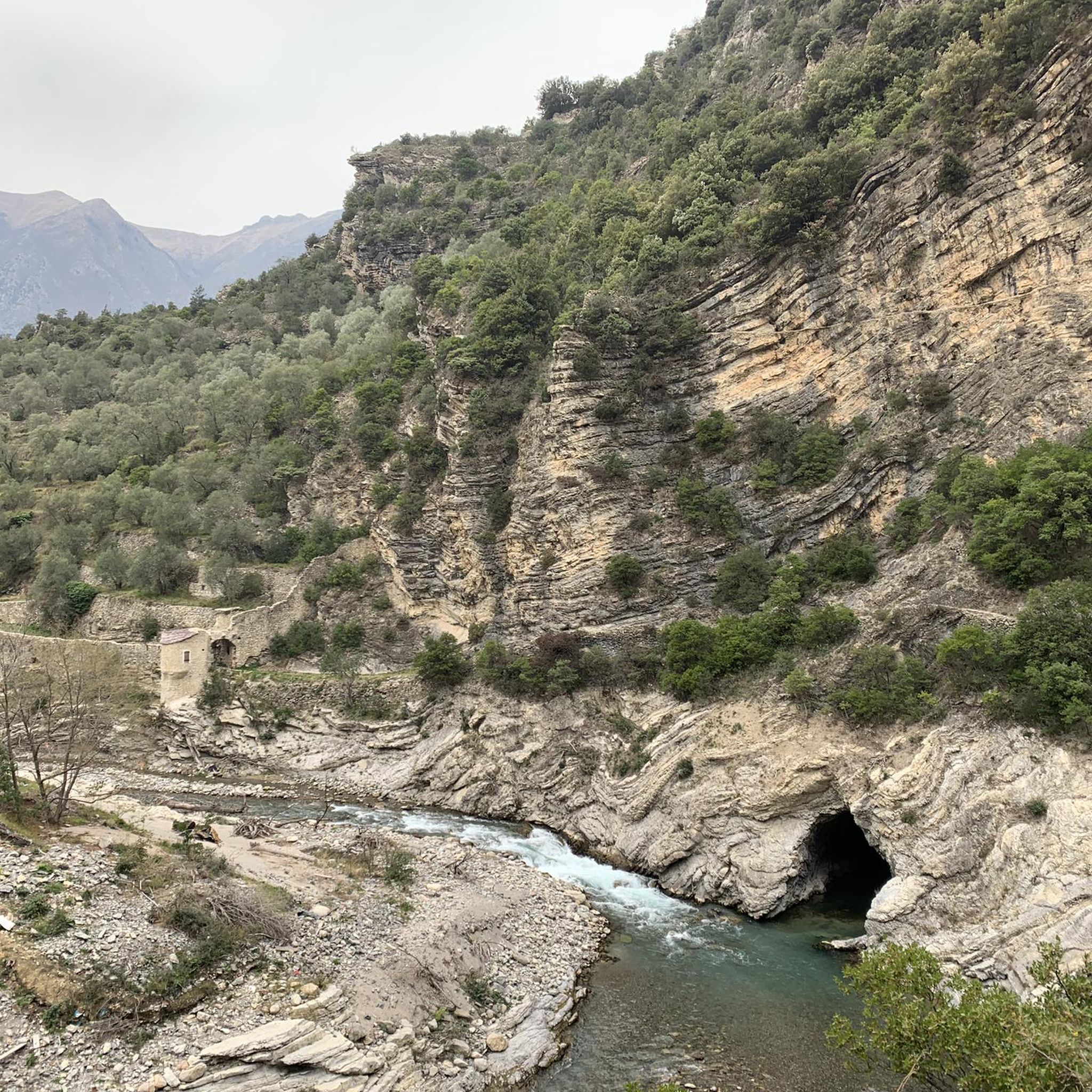
The entire Camporosso-Gouta military road is truly spectacular, with incredible stretches of woodland! Highly recommended. It starts just before the town next to the petrol station near the bridge. I suggest doing it in the direction of Gouta-Camporosso, because the climb at the beginning is significant.
0
0

The Abellio and Abelliotto mountains on the Alta Via towards the junction for Dolceacqua and Camporosso
2
0

The Alta Via dei Monti Liguri (Ligurian High Trail) is a 442-kilometer hiking trail that leads from Ceparana to Ventimiglia. In addition to the traditional footpath, there are always alternative sections (like this one here) that lead over gravel roads or asphalt paths and that are ideal for mountain biking. The hiking trail is marked with a red-white-red sign and the letters “AV” for orientation.
1
0

Excellent home-cooked meals. Non-drinking water but there is the possibility of buying bottles. It is also possible to stock up on water in Pigna, at the bottom of the slope.
0
0
Frequently Asked Questions
What natural features can I explore in Testa D'Alpe - Alto?
Testa D'Alpe - Alto is rich in natural beauty. You can explore the prominent Testa D'Alpe Peak, which offers exceptional panoramic views of the Val Roya, the Ligurian Sea, and surrounding mountains. The region is also characterized by beautiful coniferous forests, particularly the Gouta Forest and the forest covering Testa D'Alpe itself, often compared to Switzerland or Scandinavia. The Val Nervia and Val Roya provide stunning scenic backdrops, and Punta dell'Arpetta is another significant peak with expansive views.
Are there historical sites to visit in Testa D'Alpe - Alto?
Yes, the area has significant historical importance. Along the ancient Salt Route in the high Val Nervia, archaeological discoveries from the Neolithic period include a sacrificial altar, a prostrate menhir, and an elliptical tumulus tomb. As a border mountain, Testa D'Alpe and Punta dell'Arpetta also feature numerous well-preserved military fortifications that were part of the Pigna defensive barrier, some of which are open for visitation. The Camporosso–Gouta Military Road is a spectacular trail following one of these historic routes.
What are some popular hiking trails in Testa D'Alpe - Alto?
The region is a paradise for hikers. A popular choice is the Scenic Trail of Testa d'Alpe - Alto, which follows an old military road at high altitude and offers very panoramic views. The Alta Via dei Monti Liguri is a long-distance trail traversing the region with diverse landscapes. Another option is the Tête d’Alpe – Border Ridge Trail, offering great views along the border between France and Italy.
Are there easy hiking options suitable for beginners or families?
Yes, Testa D'Alpe - Alto offers easy hiking routes. For example, you can find routes like the 'Running loop from Rocchetta Nervina' which is rated easy, or the 'Barbaira Pool loop from Rocchetta Nervina' which is 3.3 km and also easy. For more options, you can explore the dedicated guide for Easy hikes in Testa D'Alpe - Alto.
Can I find places to eat or stay overnight while exploring the area?
Yes, the Gouta Gorge Refuge is a key resting point in the area. It offers excellent home-cooked meals, including tagliatelle with local mushrooms, and provides spartan rooms for overnight stays. It's the only refuge in Gouta, with the next one being the Allavena refuge further along.
What kind of views can I expect from the peaks in Testa D'Alpe - Alto?
From peaks like Testa D'Alpe, you can expect exceptional panoramic views. These include sweeping vistas of the Val Roya, the higher peaks of the Ligurian Alps, the Mont Bégo group, Monte Grammondo, and the Ligurian Sea, extending to parts of the French Riviera. You can also see the Val Nervia, the Gouta Forest, and mountains like Ceppo and Bignone to the east, with glimpses of the French Maritime and Provençal Alps to the west.
Are there cycling routes available in Testa D'Alpe - Alto?
Absolutely. The region is popular for cycling, with routes like the Camporosso–Gouta Military Road offering spectacular stretches through woodlands. The Alta Via dei Monti Liguri also has alternative sections ideal for mountain biking. You can find more cycling options in the Cycling in Testa D'Alpe - Alto guide, including routes of varying difficulty.
What is the Alta Via dei Monti Liguri and how can I access it?
The Alta Via dei Monti Liguri is a 442-kilometer long-distance hiking trail that leads from Ceparana to Ventimiglia, traversing the Testa D'Alpe - Alto region. It offers diverse landscapes from Mediterranean to Alpine flora. The trail is marked with a red-white-red sign and the letters “AV” for orientation. Various sections of this trail are accessible throughout the area.
What do visitors particularly enjoy about Testa D'Alpe - Alto?
Visitors frequently praise the spectacular panoramic views, especially from trails like the Scenic Trail of Testa d'Alpe - Alto. The beauty of the extensive woodlands, particularly along the Camporosso–Gouta Military Road, is also highly appreciated. Many enjoy the excellent home-cooked meals at the Gouta Gorge Refuge after a day of exploring.
Are there opportunities for long-distance running in the area?
Yes, Testa D'Alpe - Alto offers several long-distance running trails. For example, you can find challenging routes like the 'Monte Toraggio (1972 m) loop from Sella di Gouta' which is nearly 30 km long. More options are available in the Running Trails in Testa D'Alpe - Alto guide.
What makes the forests in Testa D'Alpe - Alto special?
The forests in Testa D'Alpe - Alto, particularly the Gouta Forest and the forest covering Testa D'Alpe itself, are notable for their beautiful coniferous trees. These picturesque woodlands contribute significantly to the area's scenery, often drawing comparisons to landscapes found in Switzerland or Scandinavia. They provide shaded paths and a serene environment for hikers and cyclists.
Can I experience the border region between France and Italy on a trail?
Yes, you can. The Tête d’Alpe – Border Ridge Trail runs almost exactly on the border line between France and Italy. This narrow trail offers great views and allows you to experience the unique topography and historical significance of this border region.
Most popular routes in Testa D'Alpe - Alto

Get inspired with the komoot mobile app


Explore more
Still not found the Highlight you’re looking for? See guides of the top attractions in other regions:
