The best walks and hikes in Testa D'Alpe - Alto
4.4
(1281)
5,349
hikers
247
hikes
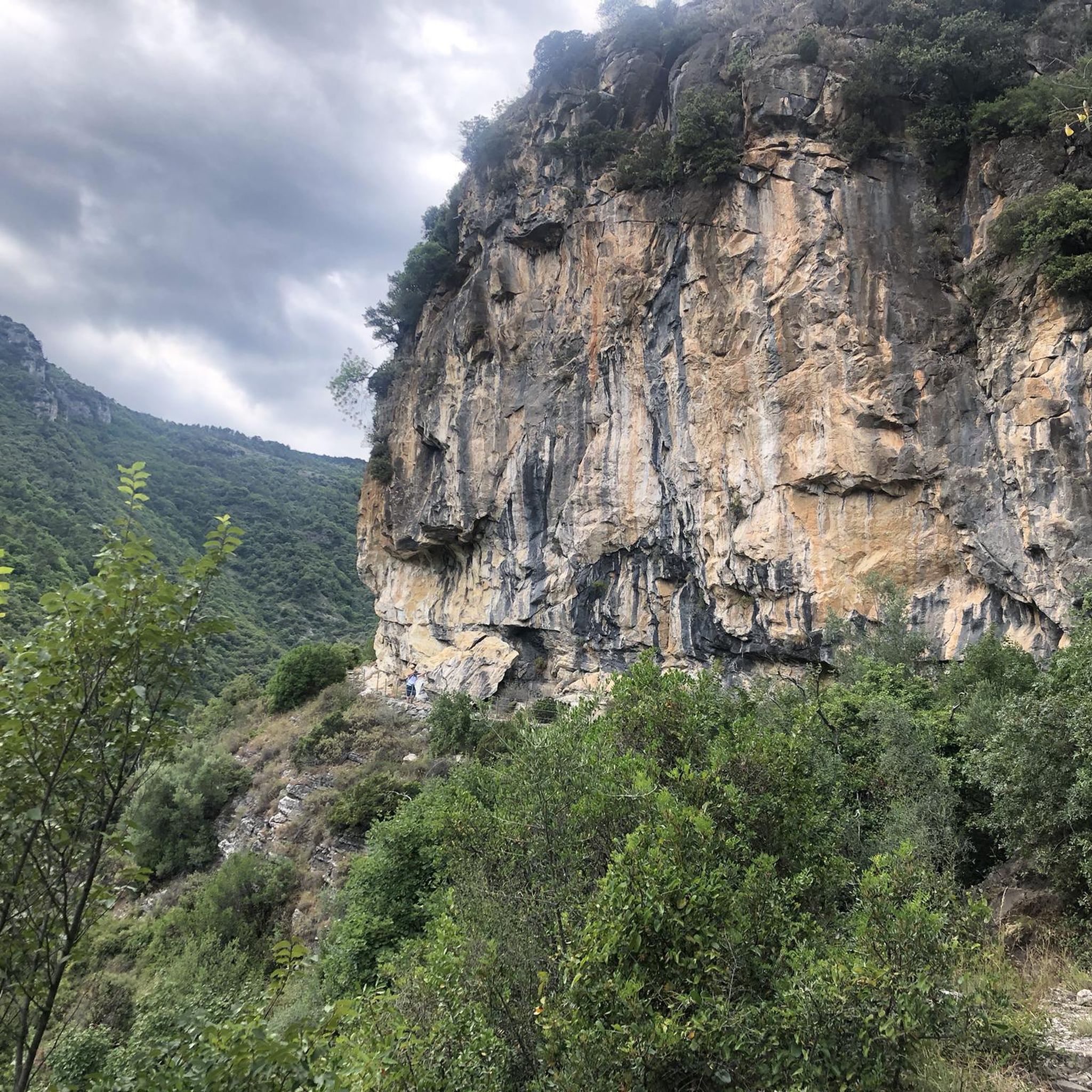
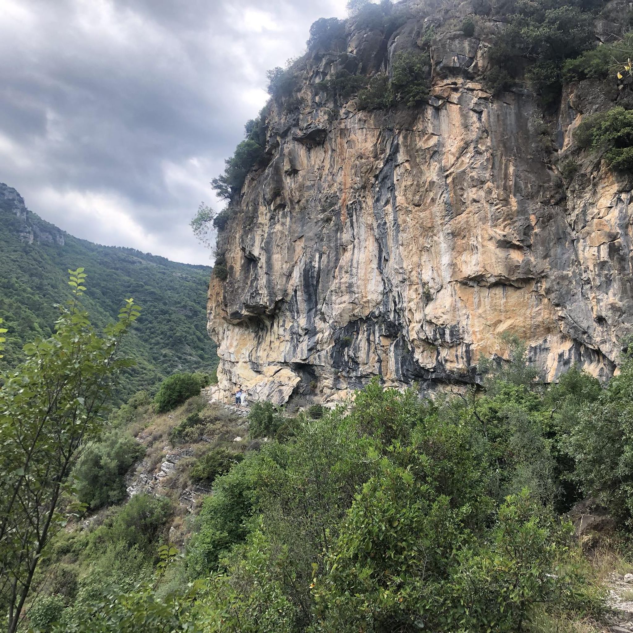
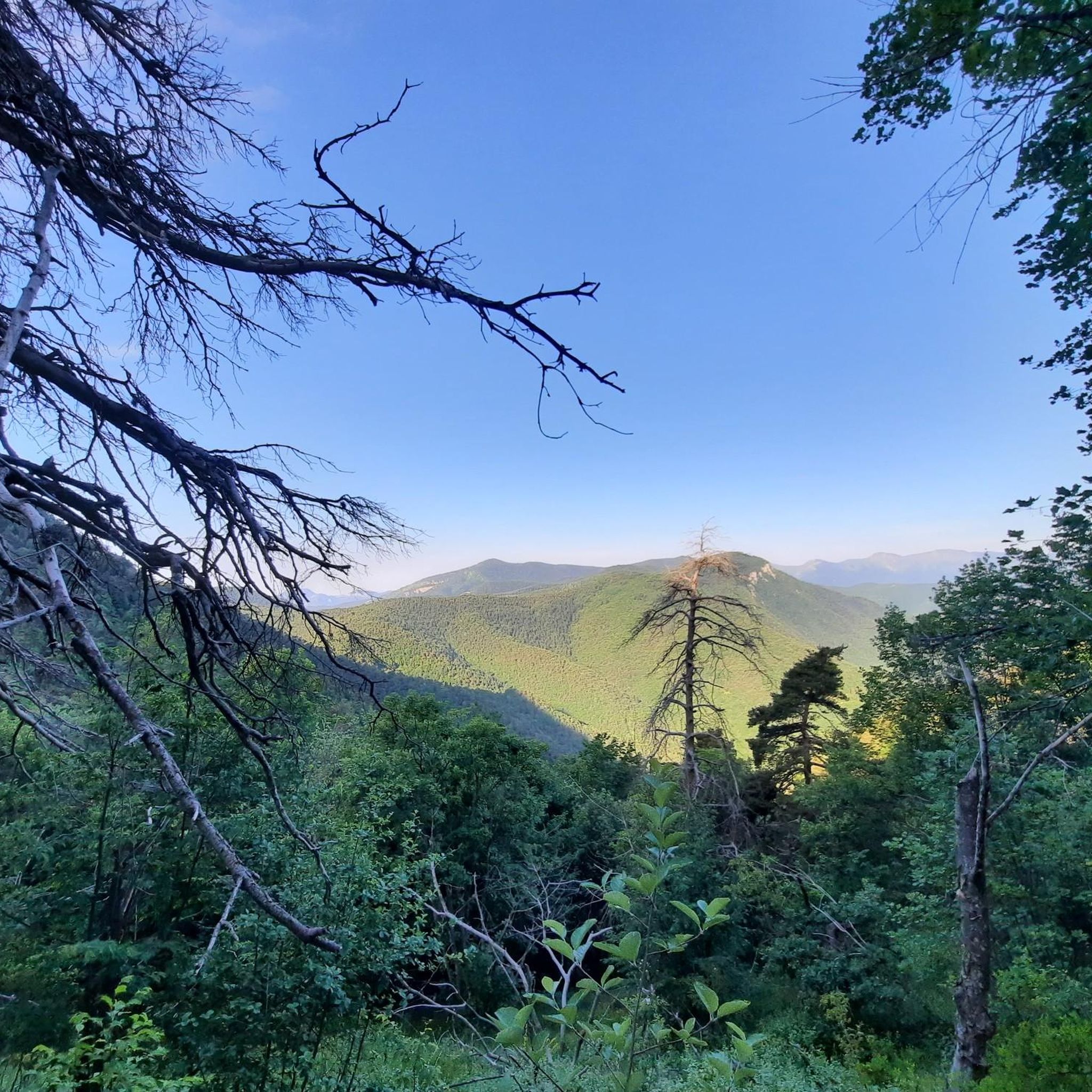
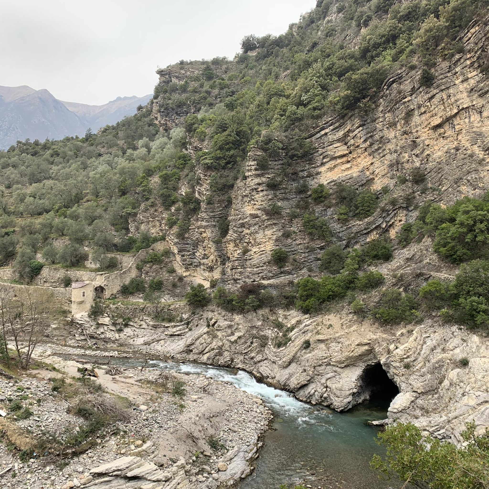
Hiking in Testa D'Alpe - Alto features diverse landscapes, transitioning from Mediterranean scrub at lower altitudes to extensive conifer forests, particularly in the Gouta and Testa d'Alpe areas. The terrain includes watershed ridges and sections with small rocky walls, characteristic of the Ligurian Alps. Panoramic viewpoints offer views towards the Roja valley and prominent peaks, showcasing a blend of natural features.
Best hiking trails in Testa D'Alpe - Alto
- The most popular hiking route is From Colla Sgora to Col…
Last updated: June 24, 2026
4
hikers
23.3km
07:06
800m
800m
Hard hike. Very good fitness required. Easily-accessible paths. Suitable for all skill levels.
5.0
(1)
8
hikers
6.61km
02:09
180m
190m
Moderate hike. Good fitness required. Mostly accessible paths. Sure-footedness required.

Sign up for free
4.5
(6)
14
hikers
11.2km
03:42
310m
310m
Moderate hike. Good fitness required. Mostly accessible paths. Sure-footedness required.
4.0
(3)
12
hikers
18.7km
05:34
540m
530m
Hard hike. Very good fitness required. Mostly accessible paths. Sure-footedness required.
4.5
(4)
16
hikers
11.7km
03:42
460m
460m
Moderate hike. Good fitness required. Easily-accessible paths. Suitable for all skill levels.
Get access to more routes and recommendations from other explorers.
Sign up for free
Already have an account?
Our route recommendations are based on thousands of hikes, rides, and runs completed by other people on komoot.
Start today with a free account
Your next adventure awaits.
Login or Signup
Tips from the Community

ring in magnificent forest
0
0
Frequently Asked Questions
How many hiking trails are available in Testa D'Alpe - Alto?
Testa D'Alpe - Alto offers a wide selection of routes, with over 240 hiking trails to explore. These range from easy walks to more challenging ascents, catering to various fitness levels.
Are there any easy or beginner-friendly hiking routes in Testa D'Alpe - Alto?
Yes, the region has 27 easy trails suitable for beginners or those looking for a relaxed walk. While specific beginner routes aren't highlighted, many paths offer accessible terrain through diverse landscapes.
What kind of natural features can I expect to see while hiking in Testa D'Alpe - Alto?
Hikers in Testa D'Alpe - Alto will encounter a fascinating blend of Mediterranean and Alpine flora, extensive conifer forests, and characteristic karst landscapes. Higher elevations, such as the summit of Testa d'Alpe, offer stunning panoramic views towards the Roja valley and prominent peaks like Mangiabò.
Are there any family-friendly hiking options in Testa D'Alpe - Alto?
While specific family-friendly routes are not detailed, the region's diverse trail network includes many easy and moderate paths that can be suitable for families. Look for shorter, less strenuous loops to enjoy with children.
Can I bring my dog on the hiking trails in Testa D'Alpe - Alto?
The Ligurian Alps Natural Park, where Testa D'Alpe - Alto is located, generally welcomes dogs on trails, but it's always advisable to keep them on a leash and follow local regulations to protect wildlife and other hikers. Check specific trail rules if available.
What are some notable landmarks or attractions along the hiking routes?
Along the trails, you can discover historical elements like old half-barrel bunkers and remnants of resistance centers. For specific points of interest, consider visiting the Gouta Gorge Refuge or exploring sections of the Alta Via dei Monti Liguri, which passes through the area.
Are there any circular hiking routes in Testa D'Alpe - Alto?
Yes, there are several circular routes available. A popular option is the Rifugio Gola di Gouta loop from Sella di Gouta, which is a moderate 3.9-mile (6.3 km) trail through conifer forests and open areas.
What is the best time of year to go hiking in Testa D'Alpe - Alto?
Testa D'Alpe - Alto is enjoyable for hiking across multiple seasons. Spring and autumn offer pleasant temperatures and vibrant scenery, while summer provides warmer conditions. Winter hiking is possible, but conditions can vary, especially at higher altitudes, so check local weather and trail reports.
Where can I find parking for trailheads in Testa D'Alpe - Alto?
Parking is generally available near popular trailheads and access points, such as Sella di Gouta or Monte Giardino. Specific parking details may vary by route, so it's recommended to check the starting point of your chosen trail for the most accurate information.
Are there any refuges or places to stop for refreshments along the trails?
Yes, the Gouta Gorge Refuge (Rifugio Gola di Gouta) is a notable stop in the area, offering a place for hikers to rest and potentially find refreshments. Routes like the Colle Scarassan – Rifugio Gola di Gouta loop from Sella di Gouta pass near this refuge.
What do other hikers enjoy most about Testa D'Alpe - Alto?
The area is highly rated by the komoot community, with an average score of 4.5 stars from over 1,100 reviews. Hikers often praise the diverse landscapes, the extensive conifer forests, and the stunning panoramic viewpoints that make the trails so rewarding.
Are there any challenging or difficult hikes in the region?
Yes, Testa D'Alpe - Alto offers 68 difficult trails for experienced hikers. An example is From Colla Sgora to Col de Peigairole (Alta Via dei Monti Liguri), a challenging 14.5-mile (23.3 km) route that provides expansive views as part of a long-distance path.
Most popular routes in Testa D'Alpe - Alto
Most popular attractions in Testa D'Alpe - Alto

Get inspired with the komoot mobile app


Explore more
Browse the best Hikes in other regions.
