The best MTB trails in Testa D'Alpe - Alto
4.5
(215)
1,772
riders
63
rides
Mountain bike trails in Testa D'Alpe - Alto are set within the Ligurian Alps, offering a diverse terrain that blends Mediterranean and Alpine environments. The region features a landscape characterized by dramatic shifts from gentle slopes covered in state-owned forests to steeper limestone formations. Mountain bikers can expect routes through picturesque forests, leading to panoramic viewpoints over the Val Nervia, the Ligurian Sea, and the Western Ligurian Alps. This area provides a unique backdrop for mountain biking, with trails often…
Last updated: May 17, 2026
5.0
(1)
21
riders
Hard mountain bike ride. Good fitness required. Advanced riding skills necessary. Some portions of the route may require you to push your bike.
4.5
(4)
26
riders
26.0km
02:04
710m
710m
Moderate mountain bike ride. Good fitness required. Suitable for all skill levels.

Sign up for free
4.5
(2)
38
riders
82.2km
10:14
3,320m
3,310m
Hard mountain bike ride. Very good fitness required. Advanced riding skills necessary. Some portions of the route may require you to push your bike.
5.0
(5)
36
riders
36.2km
03:27
1,080m
1,080m
Hard mountain bike ride. Very good fitness required. Advanced riding skills necessary. Some portions of the route may require you to push your bike.
4.4
(5)
46
riders
Easy mountain bike ride. Great for any fitness level. Suitable for all skill levels.
Get access to more routes and recommendations from other explorers.
Sign up for free
Already have an account?
Our route recommendations are based on thousands of hikes, rides, and runs completed by other people on komoot.
Start today with a free account
Your next adventure awaits.
Login or Signup
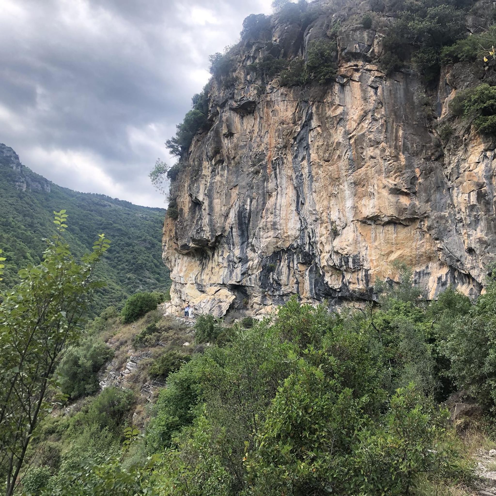
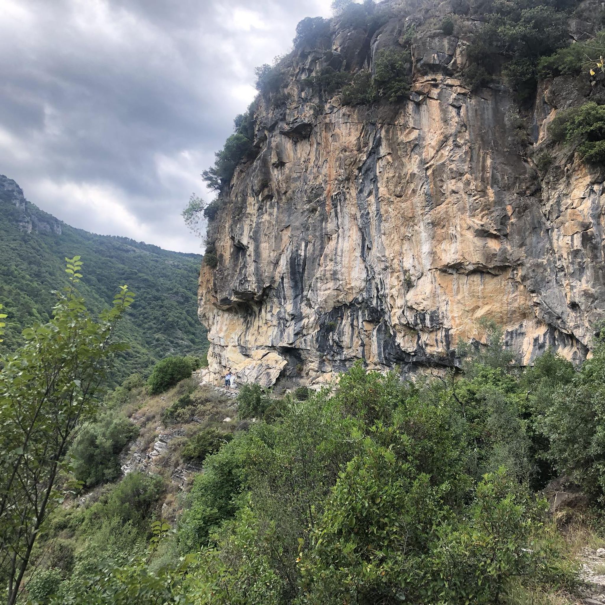
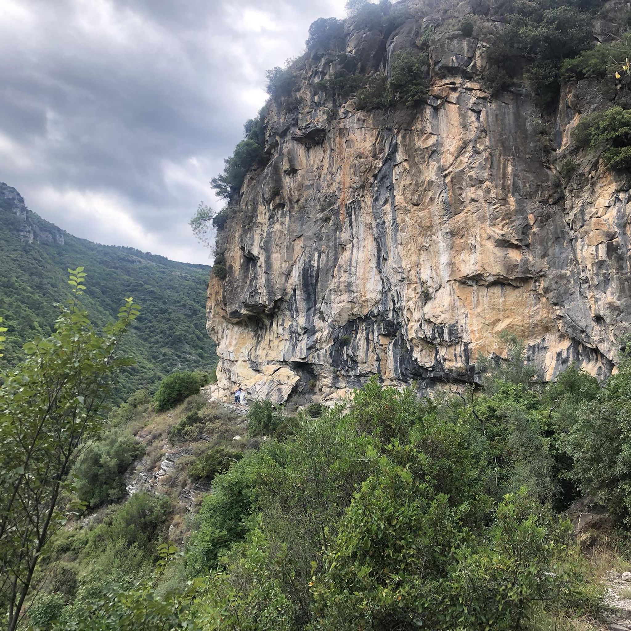
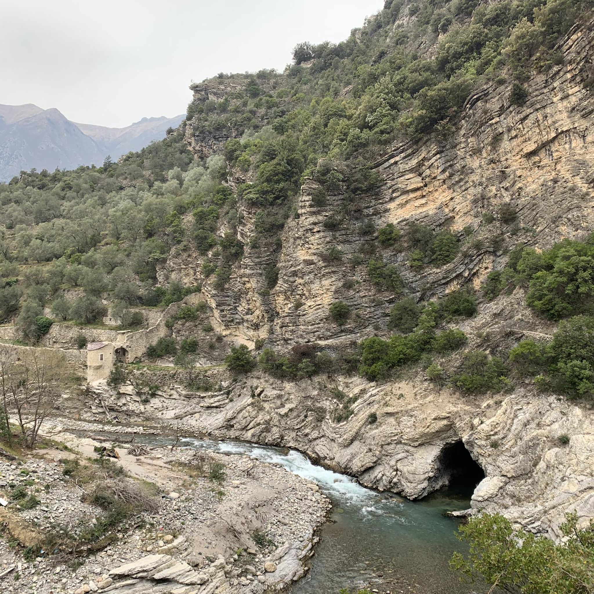
Tips from the Community

The Sospel bridge is located on a major road linking Nice to Piedmont via the Roya valley and the Col de Tende.
0
0

Great trail, starting with a nice terrain of small stones and pine needles interspersed with a few steps and a small technical climb, then at the bottom it becomes steep on more difficult terrain, with a few hairpins. Note that there is an escape route on the right about 3/4 of the way down, very little visible. Rating S2.
0
1

Beautiful to look at when driving through (road 10 - 11% gradient).
0
0

Located at the bottom of the Vallon della Bassèra it is a very quiet place
0
0
An ancient village, now a border town. It's known for its traditional products, such as olive preserves. There's a beautiful church in the center, and an excellent shop selling local products, which also makes sandwiches for cyclists.
0
0

Here's an exciting and informative comment to add to Komoot for the historic village of Apricale: 🌞 Apricale is pure magic! 🏰 A village perched on the hill, where every alley seems to tell a story. The stone houses, vaulted passages, and hidden stairways create a fascinating labyrinth waiting to be explored. Ideal for gravel bikers who love slow climbs and scenic descents 🚴♂️🌄 The view at sunset is breathtaking, and the atmosphere... seems like something out of a medieval novel 📜✨ Don't miss the main square with its fountain, art galleries, and a café with a view. Perfect for those seeking beauty, silence, and authenticity.
0
1


Well-maintained cycle path, an excellent alternative to the road that leads from Ventimiglia to Dolceacqua
1
0
Frequently Asked Questions
How many mountain bike trails are available in Testa D'Alpe - Alto?
Testa D'Alpe - Alto offers a wide selection of mountain bike trails, with over 60 routes available for exploration. These trails cater to various skill levels, from moderate to difficult.
What are the typical terrain and difficulty levels for mountain biking in Testa D'Alpe - Alto?
The terrain in Testa D'Alpe - Alto is diverse, blending Mediterranean and Alpine environments. You'll encounter a mix of paved and unpaved surfaces, including gravel and ground, with significant elevation changes. Routes range from moderate, such as the Col de Muraton loop from Pigna, to more difficult paths like the View of Rocchetta Nervina – Lakes and Waterfalls loop from Rocchetta Nervina, which features varied landscapes and elevation.
Are there any family-friendly mountain bike trails in Testa D'Alpe - Alto?
While many trails in Testa D'Alpe - Alto involve significant elevation and varied surfaces, there are options suitable for families with good fitness. For instance, the region offers 1 easy route and 22 moderate routes. It's advisable to check individual route details on komoot for specific suitability and terrain before heading out.
What kind of natural features and viewpoints can I expect along the mountain bike routes?
Mountain bike routes in Testa D'Alpe - Alto often lead through picturesque forests, including beautiful coniferous and beech forests like the Foresta di Gouta. You can expect panoramic vistas of the Val Nervia, the Ligurian Sea, and the Western Ligurian Alps. From Testa D'Alpe (1587 m) and Punta dell'Arpetta (1611 m), you can even glimpse the French Maritime Alps and the distant Verdon mountains. The Scenic Trail of Testa d'Alpe - Alto is particularly known for its views.
Are there any circular mountain bike routes available?
Yes, Testa D'Alpe - Alto features several circular mountain bike routes. A popular moderate option is the Col de Muraton – Gouta Gorge Refuge loop from Sella di Gouta, which is 21.6 km long. For a more challenging experience, consider the Military Road Tunnel to Gouta – Former Second Line Barracks loop from Sella di Gouta, a difficult 30.1 km path with historical points of interest.
What historical or significant landmarks can be found along the trails?
The region has a rich history, with Testa D'Alpe lying along an ancient route of the Salt Road. You might encounter old military structures, part of the defensive barrier of Pigna, adding a historical dimension to your ride. The Camporosso–Gouta Military Road is a notable historical trail in the area.
What do other mountain bikers say about the trails in Testa D'Alpe - Alto?
The mountain bike routes in Testa D'Alpe - Alto are highly rated by the komoot community, with an average score of 4.5 stars from over 200 reviews. More than 1900 mountain bikers have explored the varied terrain, often praising the diverse topography, panoramic vistas, and extensive forests.
Is Testa D'Alpe - Alto suitable for e-biking?
Yes, the Ligurian Alps Park, which encompasses areas like Testa D'Alpe, actively promotes e-bike and mountain bike itineraries. The diverse terrain and significant elevation changes make it an excellent region for e-biking, allowing riders to enjoy the panoramic views with assistance.
Are there any specific refuges or places to stop for refreshments along the trails?
Yes, the Gola di Gouta area is a significant hub and starting point for many trails, featuring a restaurant and the Gouta Gorge Refuge. This can be a great place to stop for refreshments or a meal during your ride.
What is the best time of year to go mountain biking in Testa D'Alpe - Alto?
The region offers a unique blend of Mediterranean and Alpine environments, making spring and autumn generally ideal for mountain biking. These seasons provide pleasant temperatures and vibrant landscapes. Summer can also be suitable, especially for higher altitude trails, but be mindful of warmer temperatures in lower areas. Winter might present snow at higher elevations, limiting access to some routes.
Are there any trails that feature lakes or waterfalls?
Yes, the View of Rocchetta Nervina – Lakes and Waterfalls loop from Rocchetta Nervina is a difficult 15.4 km trail specifically known for leading through varied landscapes with views of lakes and waterfalls. It's a popular choice for those seeking scenic water features.
Most popular routes in Testa D'Alpe - Alto
Most popular attractions in Testa D'Alpe - Alto

Get inspired with the komoot mobile app


Explore more
Browse the best MTB trails in other regions.
