The best mountain hikes around Santa Brígida
5.0
(8)
29
hikers
Mountaineering around Santa Brígida offers a diverse landscape characterized by volcanic formations, dramatic rock outcrops, and varied elevation changes. The region features prominent landmarks such as Pico de las Nieves and Roque Nublo, providing challenging ascents and panoramic views. Trails often traverse through rugged, open terrain, indicative of Gran Canaria's interior.
Best mountaineering routes around Santa Brígida
- The most popular mountaineering route is La Culata Church – La Culata village loop from Tejeda, a 6.3 miles (10.2 km) trail…
Last updated: July 1, 2026
5.0
(3)
10
hikers
10.2km
03:24
500m
500m
Moderate mountaineering route. Good fitness required. Mostly accessible paths. Sure-footedness required.
5.0
(2)
10
hikers
5.98km
01:53
230m
230m
Moderate mountaineering route. Great for any fitness level. Mostly accessible paths. Sure-footedness required.

Sign up for free
5.0
(3)
7
hikers
8.05km
03:27
510m
510m
Hard mountaineering route. Good fitness required. Sure-footedness, sturdy shoes and alpine experience required.
Our route recommendations are based on thousands of hikes, rides, and runs completed by other people on komoot.
Start today with a free account
Your next adventure awaits.
Login or Signup
Tips from the Community

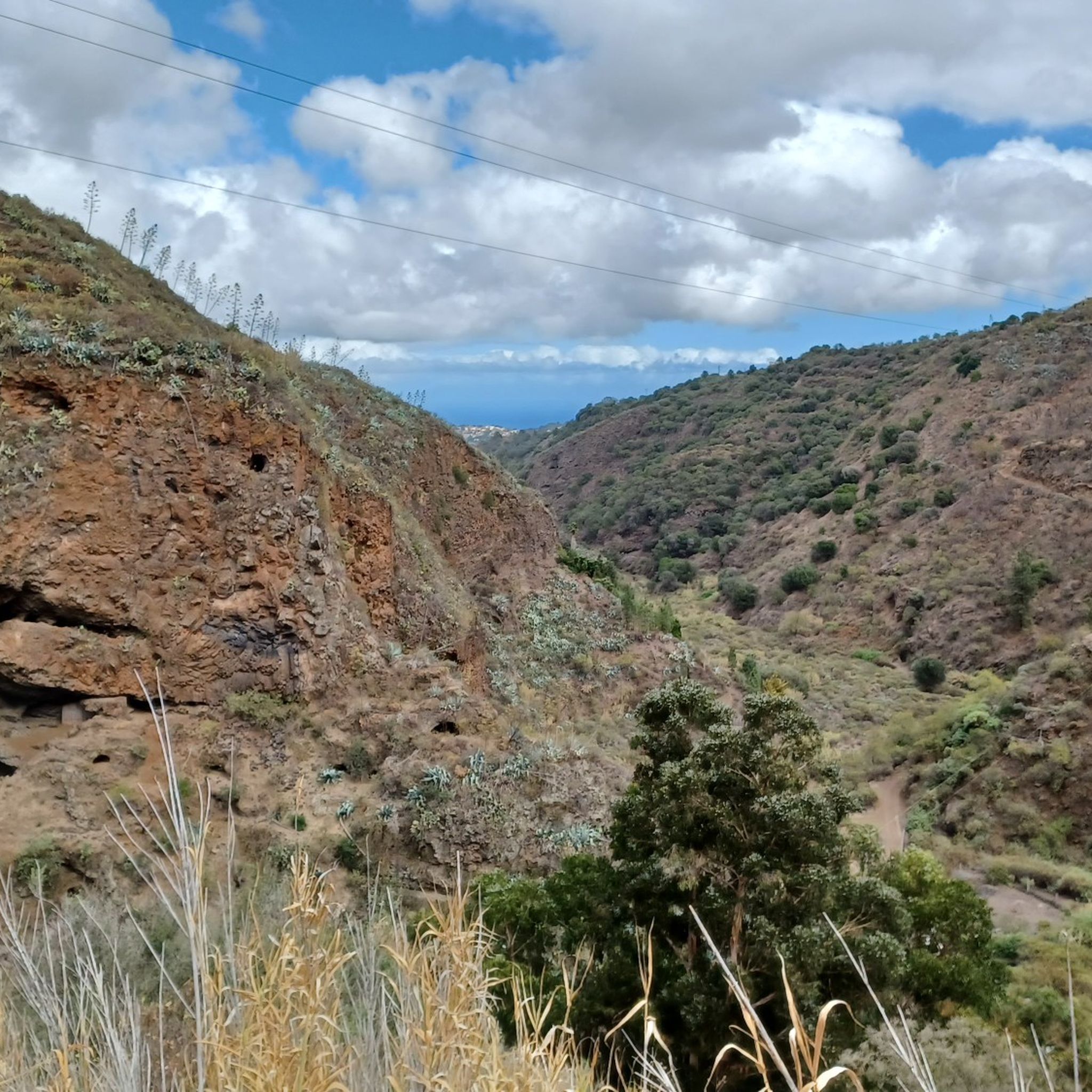
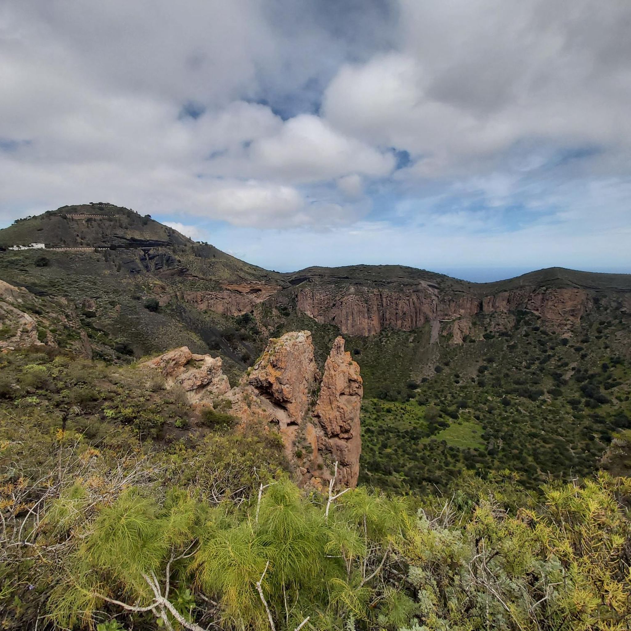
Located in the heart of Gran Canaria, La Culata is part of the municipality of Tejeda. It is made up of traditional houses built on the cliff face from which it gets its name. From the heights of the village, you can see the distribution of the houses and the terraced crops that adapt to the hills.
0
0
In a magnificent location in the middle of pine forests, you can choose here to take the upper or lower hiking trail to climb to Pico de las Nieves.
0
0

Our path to Roque Nublo leads here through a sparse pine forest.
0
0
In clear weather, the view from here extends all the way to Tenerife.
0
0

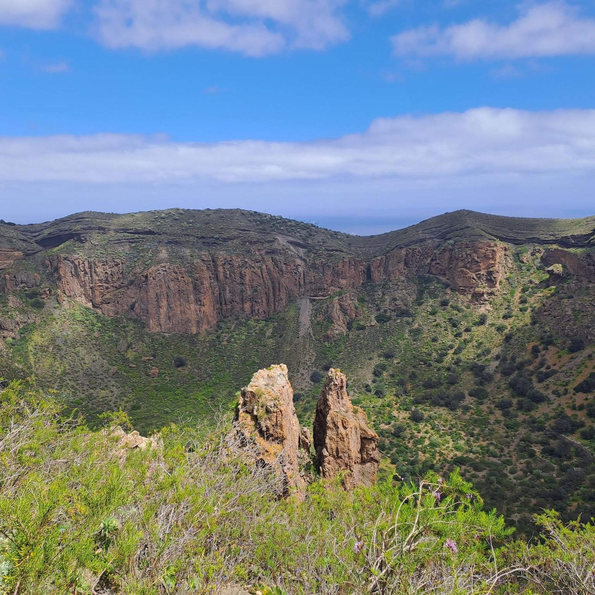
From here you have a wonderful view.
1
0
Beautiful view of the island's highest mountain.
0
0
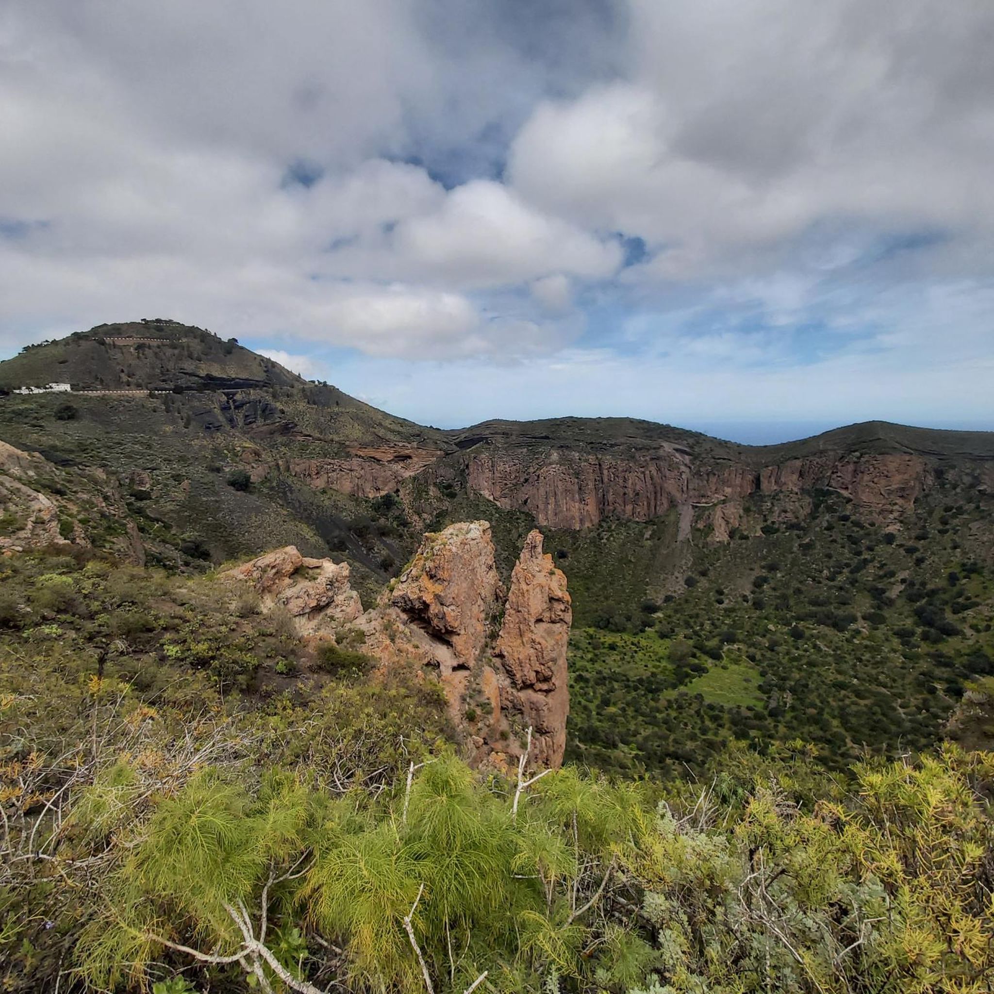
From here we have a beautiful view of the Roque Nublo.
1
0
Frequently Asked Questions
What kind of terrain can I expect on mountaineering routes around Santa Brígida?
The mountaineering routes around Santa Brígida are characterized by their volcanic origins, featuring rugged landscapes, dramatic rock outcrops, and significant elevation changes. You'll encounter trails traversing through open, often exposed terrain, typical of Gran Canaria's mountainous interior.
Are there any challenging mountaineering routes for experienced hikers?
Yes, for those seeking a challenge, routes like the Roque Nublo – View from the Roque Nublo loop from Clouded Rock offer a demanding experience. This 5.1-mile (8.2 km) trail leads through dramatic rock formations and is rated as difficult, typically taking around 3 hours 30 minutes to complete. Another difficult option is the View from the Roque Nublo – View of Roque Nublo loop from Clouded Rock, covering 8.0 km.
What are some moderate mountaineering options in the area?
If you're looking for a moderate challenge, consider the La Culata Church – La Culata village loop from Tejeda. This route spans 6.3 miles (10.2 km) and takes approximately 3 hours 24 minutes, offering a journey through local villages and natural landscapes. Another excellent moderate choice is the Pico de las Nieves – View of Roque Nublo loop from Pico de las Nieves, which is 3.7 miles (6.0 km) long and provides iconic views of Gran Canaria's highest peak.
Are there any circular mountaineering routes near Santa Brígida?
Yes, all the listed mountaineering routes around Santa Brígida are circular. For example, the La Culata Church – La Culata village loop from Tejeda is a popular circular option. You can also explore the Pico de las Nieves – View of Roque Nublo loop from Pico de las Nieves or the Roque Nublo – View from the Roque Nublo loop from Clouded Rock, both of which are circular trails.
What is the best season for mountaineering in Santa Brígida?
Santa Brígida and the surrounding mountains of Gran Canaria offer a mild climate year-round. However, the cooler months from October to May are generally preferred for mountaineering, as summer temperatures can be quite high, especially at lower altitudes. During winter, higher elevations might experience more wind and occasional cloud cover, so always check the local forecast.
What kind of viewpoints can I expect along the mountaineering trails?
The routes offer spectacular panoramic views, often including iconic landmarks. For instance, the Pico de las Nieves – View of Roque Nublo loop from Pico de las Nieves provides stunning vistas of Gran Canaria's highest peak and the famous Roque Nublo. Many trails also offer expansive views of the island's rugged interior and coastline.
Are there any natural attractions or landmarks to see along the routes?
Absolutely. The region is rich in natural monuments. You can find highlights such as the Pico de las Nieves summit, the dramatic Roque Nublo Trail, and the impressive Pico de Bandama. There's even a Large Waterfall to discover.
What should I wear for mountaineering in Santa Brígida?
Given the varied terrain and potential for changing weather, it's advisable to wear layers. Sturdy hiking boots with good ankle support are essential. Depending on the season, bring sun protection (hat, sunscreen), a waterproof and windproof jacket, and sufficient water. Even on sunny days, conditions can change quickly at higher altitudes.
Is parking available at the trailheads for these routes?
Yes, parking is generally available near the starting points of the mountaineering routes. For routes originating from areas like Tejeda or Pico de las Nieves, you'll typically find designated parking areas, though they can fill up during peak times. It's always a good idea to arrive early, especially on weekends.
What do other mountaineers enjoy most about the routes in Santa Brígida?
The mountaineering routes around Santa Brígida are highly rated by the komoot community, with an average score of 5.0 stars from over 8 reviews. Reviewers often praise the dramatic volcanic landscapes, the iconic rock formations like Roque Nublo, and the rewarding panoramic views from the summits. The diversity of the trails, from village paths to rugged mountain ascents, is also frequently highlighted.
Are the mountaineering trails in Santa Brígida dog-friendly?
Many trails in the Gran Canarian mountains are generally dog-friendly, but it's always recommended to keep your dog on a leash, especially in protected natural areas or when encountering livestock. Be mindful of the rugged terrain and potential for heat, ensuring your dog has enough water and is comfortable with the distance and elevation.
Most popular attractions around Santa Brígida

Get inspired with the komoot mobile app


Explore more
Browse the best Mountain Hikes & Routes in other regions.
