The best cycling routes around Santa Brígida
4.4
(438)
6,772
riders
15
rides
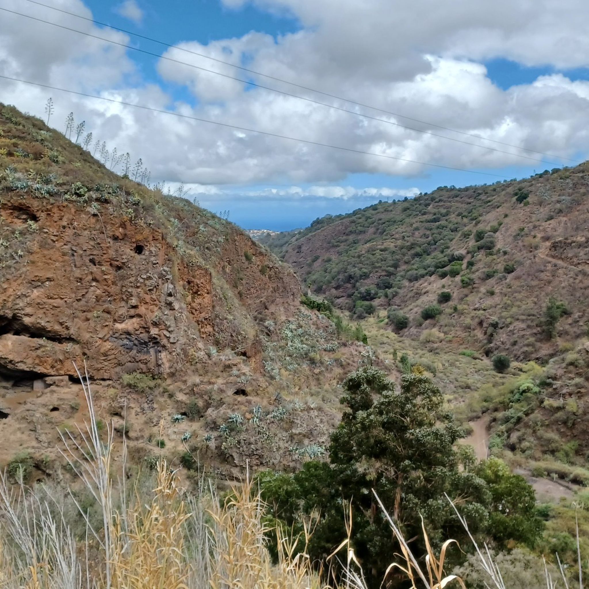
Touring cycling around Santa Brígida, located on Gran Canaria, features diverse natural landscapes shaped by volcanic activity. The region is characterized by fertile plains, deep ravines like Barranco de Guiniguada, and significant volcanic features such as the Caldera de Bandama. Elevations range from 350 to 940 meters, offering varied terrain for cyclists. Palm groves and indigenous plant species are common throughout the municipality.
Best touring cycling routes around Santa Brígida
- The most popular touring cycling route is Goteras Ravine –…
Last updated: October 7, 2026
4.4
(19)
206
riders
45.6km
03:38
700m
700m
Hard bike ride. Very good fitness required. Mostly paved surfaces. Suitable for all skill levels.
41
riders
46.6km
03:21
970m
970m
Hard bike ride. Very good fitness required. Mostly paved surfaces. Suitable for all skill levels.

22
riders
Hard bike ride. Very good fitness required. Mostly paved surfaces. Suitable for all skill levels.
5.0
(1)
23
riders
26.0km
01:49
460m
460m
Hard bike ride. Very good fitness required. Mostly paved surfaces. Suitable for all skill levels.
4.0
(2)
15
riders
38.0km
02:59
1,060m
1,060m
Hard bike ride. Very good fitness required. Mostly paved surfaces. Suitable for all skill levels.
Get access to more routes and recommendations from other explorers.
Already have an account?
Our route recommendations are based on thousands of hikes, rides, and runs completed by other people on komoot.
Start today with a free account
Your next adventure awaits.

Tips from the Community

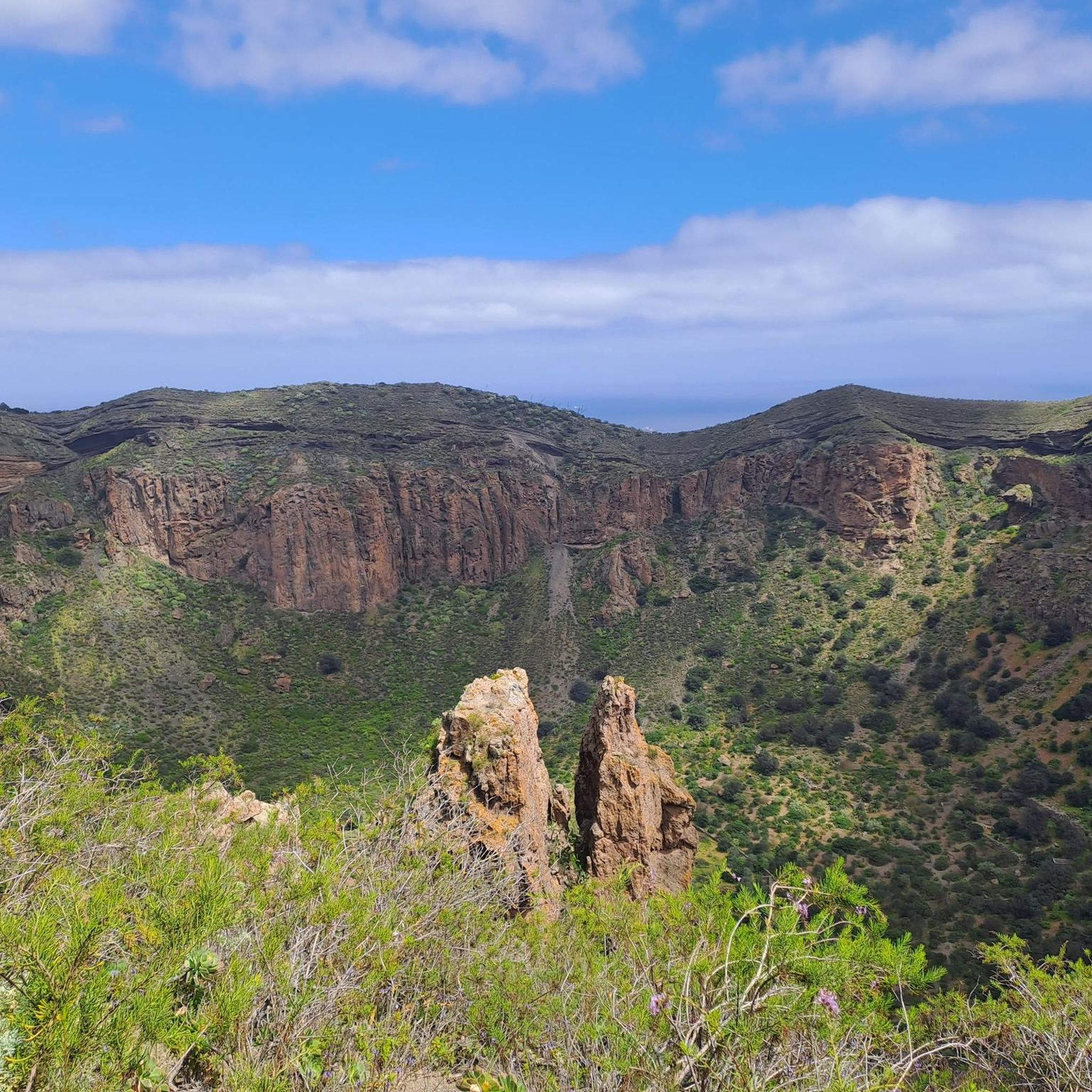
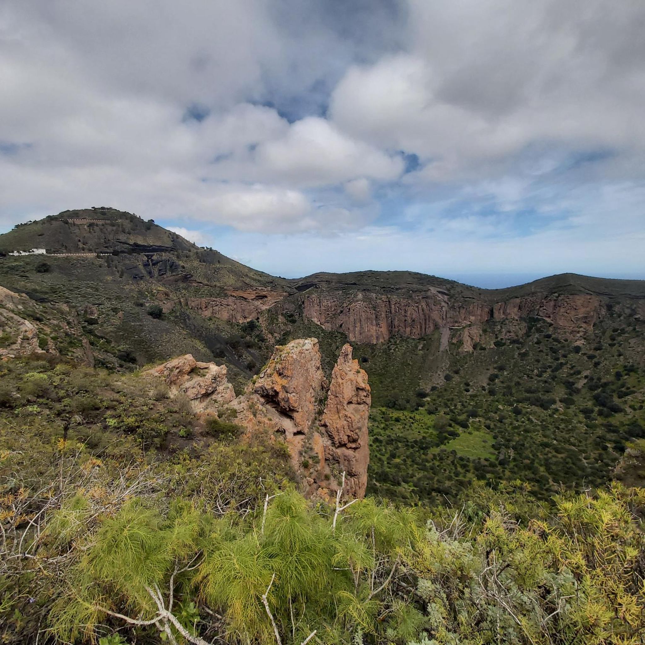
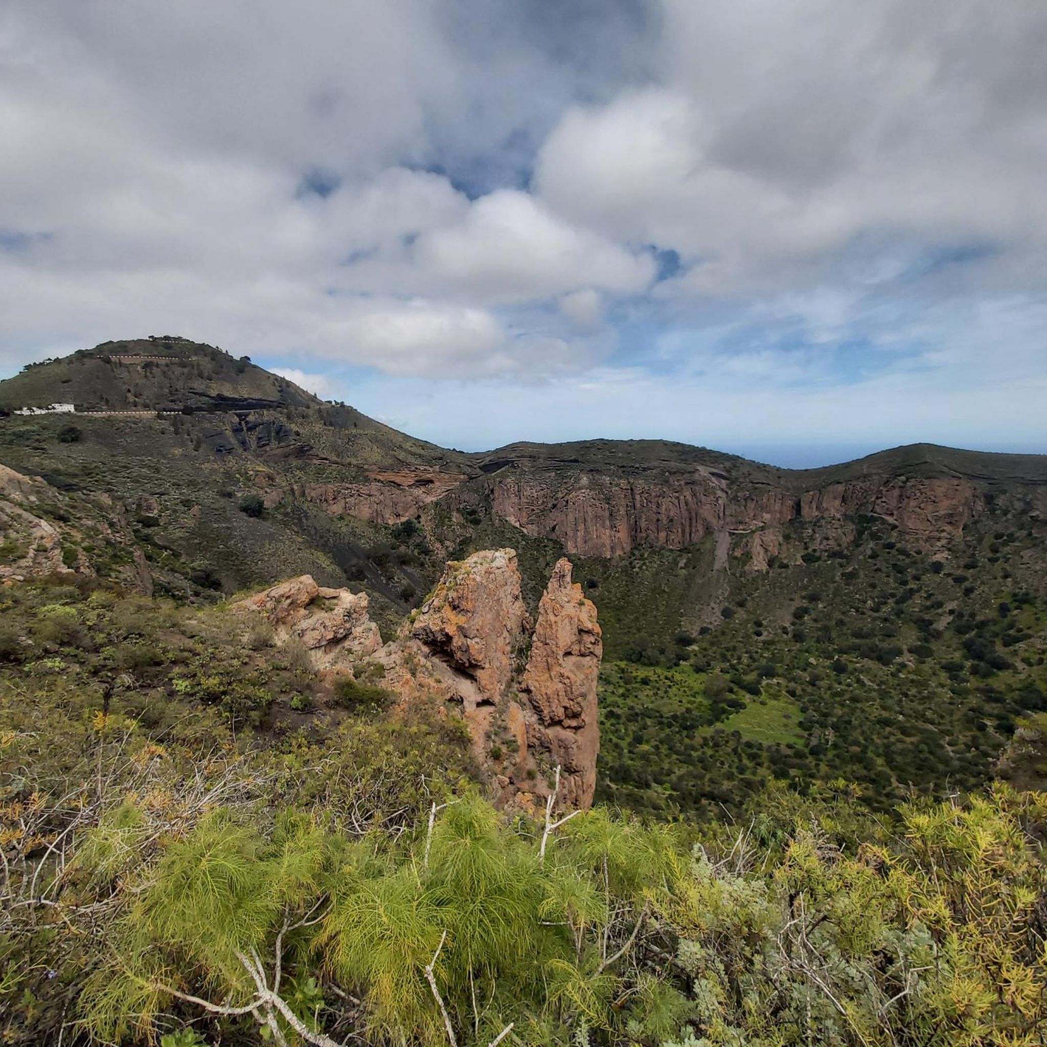
There are two ways to hike at the Bandama Crater. One hiking tour leads into the crater and through the crater floor and the second hike goes around the crater rim. Or you can do as we did and make one out of two hikes😊
0
0

Columbus's original house now houses a great museum.
4
0


Recommended area for a quiet bike ride.
0
0
It's very good, but it's exhausting from Las Palmas.
1
1

Clean toilet. Open when the botanical garden is open
0
0
There is a clean toilet here. In the park there are many endemic plants from the Canary Islands, some of which only occur here
0
0

The nature park here consists of the 574-meter-high peak Pico de Bandama and the caldera to the south. This has a diameter of around one kilometer and is 170 meters deep.
1
0
Frequently Asked Questions
How many touring cycling routes are available in Santa Brígida?
Santa Brígida offers a diverse network of over 10 touring cycling routes. These routes cater to various skill levels, with a majority being classified as difficult, and several moderate options available.
What kind of terrain can I expect on touring cycling routes around Santa Brígida?
The terrain around Santa Brígida is largely shaped by its volcanic origins, featuring polylobulated basins and abrupt hillsides. You'll encounter diverse landscapes including fertile plains, deep ravines like Barranco de Guiniguada, and lush palm groves. Elevations vary significantly, ranging from 350 to 940 meters above sea level, providing varied challenges and scenic views.
Are there touring cycling routes suitable for beginners in Santa Brígida?
While many routes in Santa Brígida are rated as difficult, there are several moderate options available for those with less experience or looking for a more relaxed ride. These routes still offer the beautiful scenery of the region without the most extreme elevation changes.
Are there challenging touring cycling routes for experienced cyclists?
Absolutely. Santa Brígida is well-suited for experienced cyclists seeking a challenge. Routes like the Soul Food Café, Santa Brígida – Cruz de Tejeda Stall 12 loop from Tafira Alta, which covers 49.2 km with 1,360m of elevation gain, offer significant climbs and varied terrain to test your fitness.
Are there any circular touring cycling routes in Santa Brígida?
Yes, many of the touring cycling routes in Santa Brígida are designed as loops, allowing you to start and finish at the same point. Examples include the popular Goteras Ravine – Plaza de Santa Ana loop from Pico de Bandama and the Barranco de la Angostura – Guiniguada Trail loop from Las Cadenas.
What scenic viewpoints can I discover on touring cycling routes?
Santa Brígida offers numerous scenic viewpoints. A highlight is the Pico de Bandama, which provides magnificent panoramic views of the central and eastern parts of Gran Canaria, including the impressive Caldera de Bandama. Many routes incorporate these stunning vistas.
Can I find routes that pass by natural attractions like waterfalls?
Yes, some routes in the vicinity of Santa Brígida can lead you past beautiful natural features, including waterfalls. You might encounter a Small Waterfall or a Large Waterfall, adding a refreshing stop to your ride.
What other attractions can I explore near the touring cycling routes in Santa Brígida?
Beyond the cycling, Santa Brígida offers several points of interest. You can visit the Botanical Garden, explore archaeological sites like Cueva de Los Frailes, or experience local products at the village market. The region is also part of a wine route, and you can find natural monuments such as the Pico de las Nieves summit and the Roque Nublo Trail nearby.
Are there touring cycling routes that include stops at cafes or places to eat?
Many routes pass through or near villages where you can find cafes and local eateries. The region is known for its local market in Santa Brígida village, offering cheeses, country bread, jams, and honey. Additionally, the area is part of a wine route, providing opportunities to stop at vineyards or related establishments.
What is the best season for touring cycling in Santa Brígida?
Gran Canaria generally enjoys a mild climate year-round, making Santa Brígida suitable for touring cycling in most seasons. However, the spring and autumn months often provide the most comfortable temperatures for longer rides, avoiding the peak heat of summer and potential cooler, wetter conditions in winter.
What do other touring cyclists enjoy the most about touring cycling in Santa Brígida?
The touring cycling routes around Santa Brígida are highly rated by the komoot community, with an average score of 4.4 stars from over 300 reviews. Cyclists often praise the diverse volcanic landscapes, the challenging yet rewarding climbs, and the stunning panoramic views, especially around the Caldera de Bandama and Pico de Bandama.
Can I find routes that explore the Barranco de Guiniguada?
Yes, the Barranco de Guiniguada is a prominent feature in the region, and several touring cycling routes traverse this scenic ravine. The Guiniguada Trail – Green Valley View loop from Santa Brígida is an excellent option to explore this area, known for its unique flora.
Most popular routes around Santa Brígida
Most popular attractions around Santa Brígida

Get inspired with the komoot mobile app


Explore more
Browse the best Cycling routes in other regions.
