The best walks and hikes in Cachipay
3.4
(12)
52
hikers
6
hikes
Hiking in Cachipay, Colombia, offers diverse terrain across rolling hills and lush vegetation on the western slopes of the eastern cordillera of the Andes. The region features extensive Andean forests, numerous rivers such as the Bahamón and Cachipay, and scenic agricultural areas. Hikers can explore paths through coffee and fruit farms, encountering waterfalls and panoramic viewpoints. This landscape provides varied opportunities for outdoor exploration.
Best hiking trails in Cachipay
- The most popular hiking route is Alto loop from Zipacón,…
Last updated: July 4, 2026
4.8
(8)
27
hikers
9.39km
02:53
300m
300m
Moderate hike. Good fitness required. Easily-accessible paths. Suitable for all skill levels.
4.3
(3)
13
hikers
16.2km
05:38
840m
840m
Hard hike. Very good fitness required. Easily-accessible paths. Suitable for all skill levels.

Sign up for free
1.0
(1)
5
hikers
8.74km
02:40
300m
300m
Moderate hike. Good fitness required. Easily-accessible paths. Suitable for all skill levels.
3
hikers
23.9km
07:53
1,100m
1,100m
Hard hike. Very good fitness required. Easily-accessible paths. Suitable for all skill levels.
3
hikers
4.83km
01:15
30m
30m
Easy hike. Great for any fitness level. Easily-accessible paths. Suitable for all skill levels.
Our route recommendations are based on thousands of hikes, rides, and runs completed by other people on komoot.
Start today with a free account
Your next adventure awaits.
Login or Signup

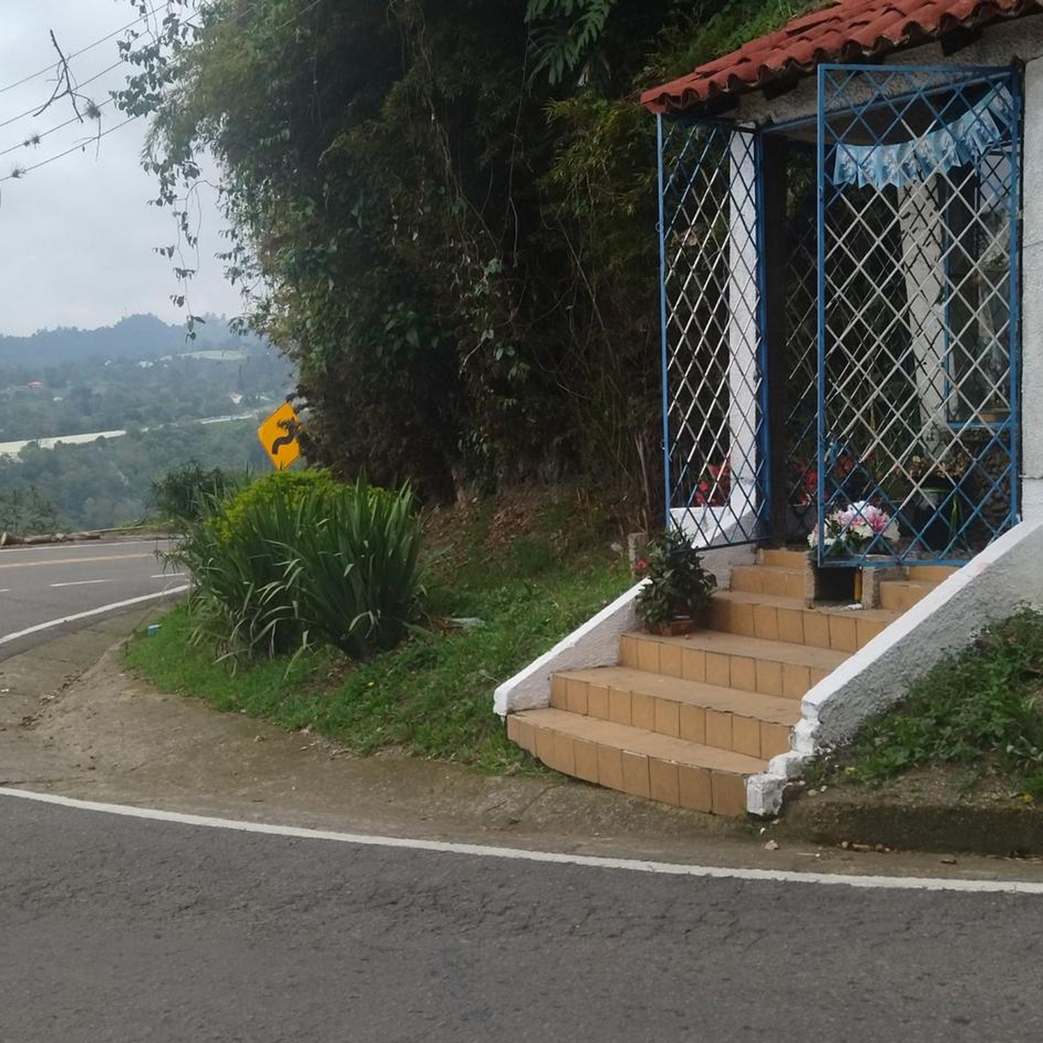
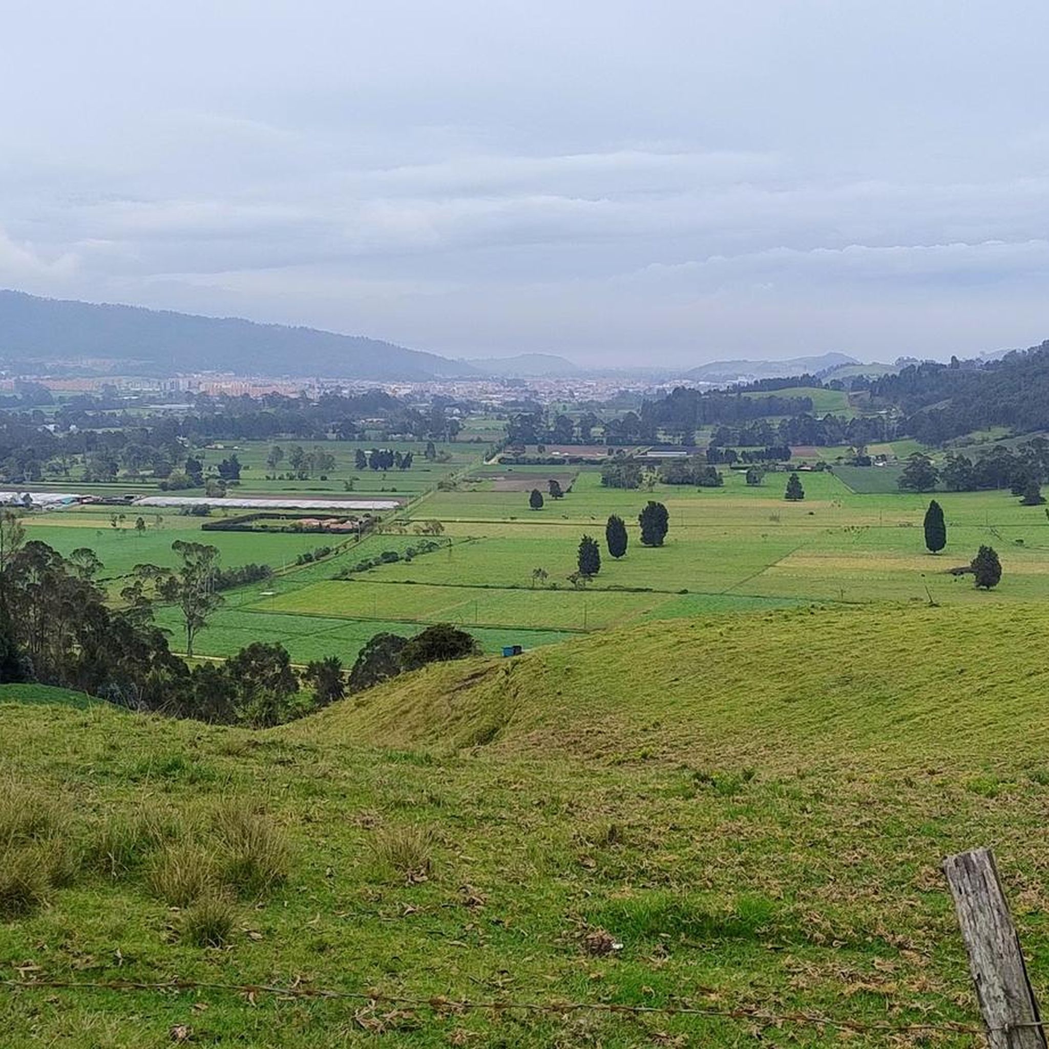

Tips from the Community

Ascent along a path between forests and rocks
0
0
Frequently Asked Questions
What kind of landscapes can I expect to see while hiking in Cachipay?
Cachipay offers a diverse landscape characterized by rolling hills, lush Andean forests, and scenic agricultural areas. You'll traverse paths through coffee, fruit, and flower farms, encounter rivers like the Bahamón and Cachipay, and experience mountainous terrain on the western slopes of the Andes. Many trails also provide panoramic views across valleys and surrounding towns.
Are there any easy hiking trails suitable for beginners in Cachipay?
Yes, Cachipay has trails suitable for beginners. For an easy option, consider the Hiking loop from La Esmeralda. This route is approximately 4.8 km long and typically takes about 1 hour and 15 minutes to complete, with minimal elevation gain.
Can I find trails with waterfalls in the Cachipay area?
Yes, the region around Cachipay is known for its waterfalls. A notable option is the Velo de Novia Waterfall loop from Bojacá urbana. This challenging 16.2 km trail leads directly to the Velo de Novia Waterfall, showcasing the area's natural water features.
What is the best time of year to go hiking in Cachipay?
Cachipay enjoys a pleasant, temperate climate year-round, with average temperatures ranging from 18-20°C (64-68°F). This makes it an appealing destination for hiking throughout the year, offering a refreshing escape with consistently comfortable conditions.
Are there any historical or cultural points of interest along the hiking routes?
Yes, Cachipay's hiking routes often pass through areas rich in history and culture. You can explore parts of the ancient train tracks (Carrilera del Tren) that once connected Bogotá to Girardot, offering a unique historical dimension. Additionally, the rural perimeter contains petroglyphs dating back 2,500 to 3,000 years, providing a glimpse into the ancient Panche culture.
Are there any challenging hikes for experienced trekkers?
For experienced trekkers seeking a challenge, Cachipay offers several difficult routes. The Velo de Novia Waterfall loop from Bojacá urbana is a demanding 16.2 km trail with significant elevation gain. Another challenging option is the Villa San Nicolas loop from La Mesa, which spans nearly 24 km and involves substantial climbing.
What do other hikers say about the trails in Cachipay?
The hiking routes in Cachipay are well-regarded by the komoot community, holding an average rating of 3.3 stars from over 10 reviews. Hikers often appreciate the varied terrain, from rolling hills to Andean forests, and the opportunities to explore agricultural landscapes.
Are there any circular hiking routes available in Cachipay?
Yes, many of the trails in Cachipay are designed as loops, allowing you to start and end at the same point. Examples include the popular Alto loop from Zipacón, the Velo de Novia Waterfall loop from Bojacá urbana, and the Mirador cordillera central – Villa San Nicolas loop from La Mesa.
What kind of wildlife or vegetation can I expect to see?
Cachipay's lush Andean forests are rich in biodiversity. Hikers can expect to encounter a variety of beautiful birds and insects. The vegetation is abundant, featuring diverse flora typical of the region's temperate climate and mountainous slopes.
Are there any trails that offer panoramic viewpoints?
Due to its mountainous location on the western slopes of the Andes, many hiking trails in Cachipay offer spectacular panoramic views. The ascent to La Cueva del Mohán, for instance, rewards hikers with expansive vistas of several municipalities in the Tequendama province. The Mirador cordillera central – Villa San Nicolas loop from La Mesa also suggests scenic outlooks.
How many hiking trails are available in Cachipay?
There are at least 6 distinct hiking routes documented in Cachipay, offering a range of difficulties from easy to difficult. These trails provide diverse experiences across the region's varied terrain.
Most popular routes in Cachipay

Get inspired with the komoot mobile app


Explore more
Browse the best Hikes in other regions.
