The best road cycling routes in Cachipay
4.8
(24)
770
riders
14
rides
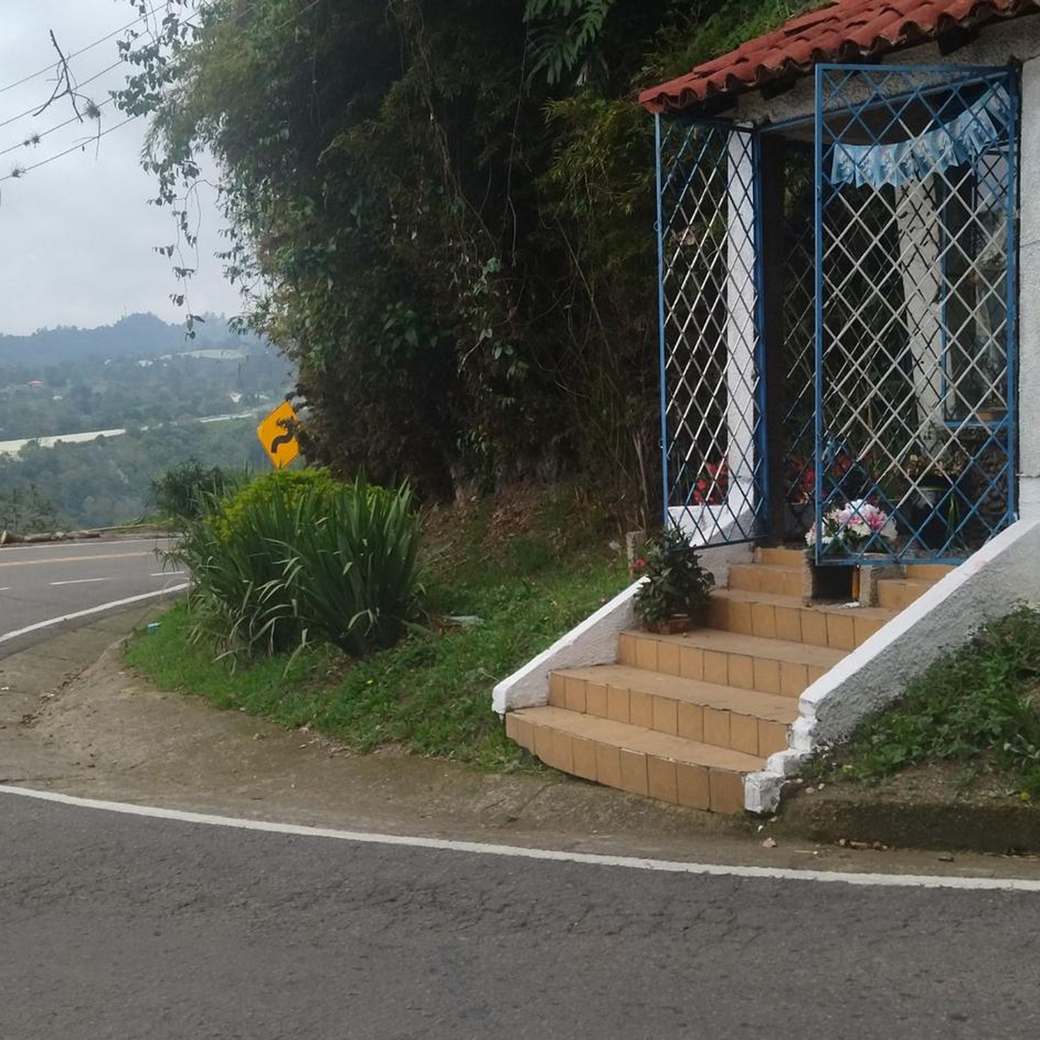
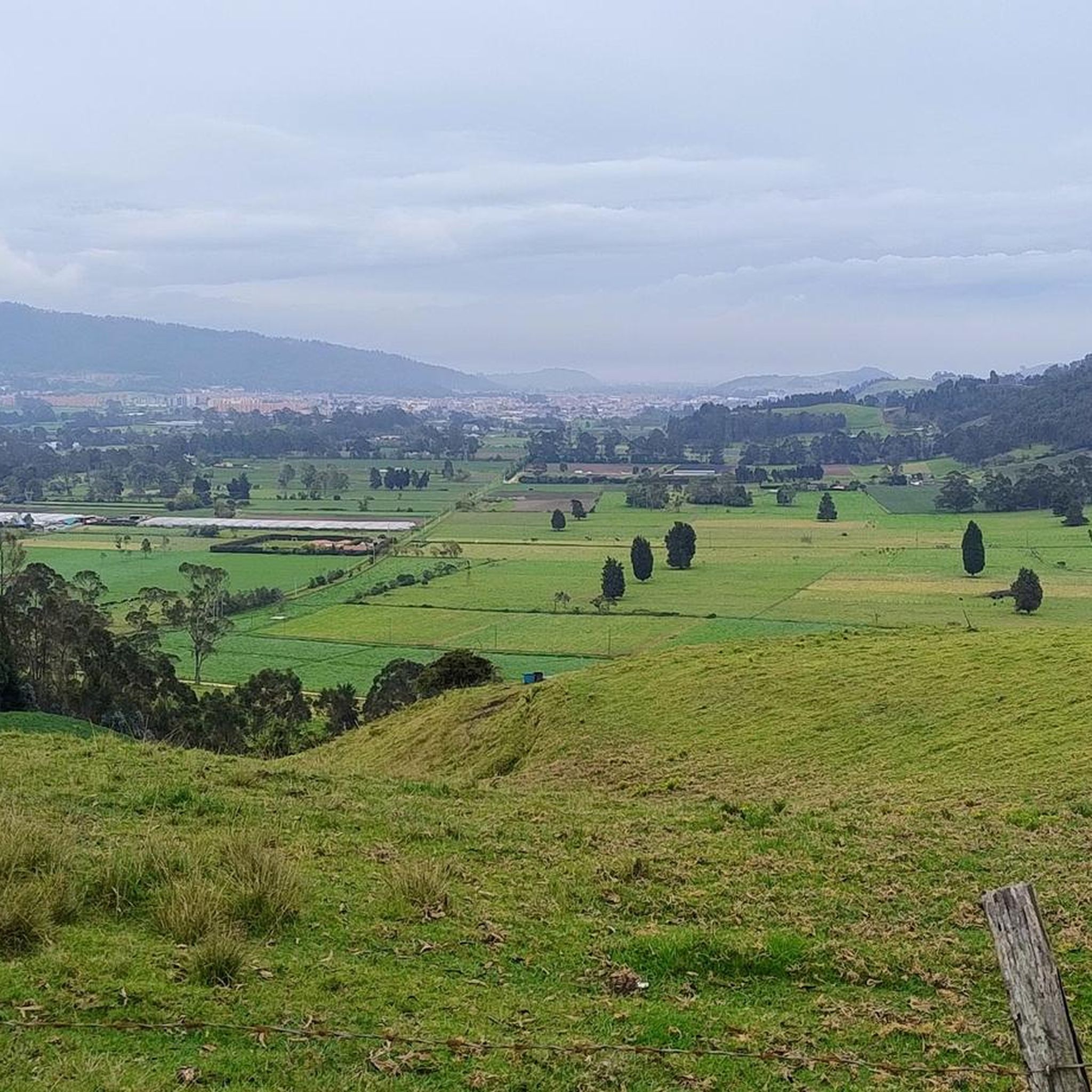
Road cycling routes in Cachipay are situated within the Cundinamarca region of Colombia, characterized by the Andean foothills and diverse terrain. The area features significant climbs, often with gradients exceeding 9%, and numerous curves. Cyclists encounter varied road conditions, including both paved and unpaved sections, traversing lush green hills and winding roads.
Best road cycling routes in Cachipay
- The most popular road cycling route is Bojacá Sign – Escarabajos Shop loop from Estación 1 - Facatativá, a 65.5 miles…
Last updated: July 2, 2026
5.0
(6)
217
riders
105km
05:52
2,190m
2,190m
Hard road ride. Very good fitness required. Mostly well-paved surfaces and easy to ride.
5.0
(2)
180
riders
132km
06:25
1,580m
1,580m
Hard road ride. Very good fitness required. Mostly well-paved surfaces and easy to ride.

Sign up for free
5.0
(4)
101
riders
43.9km
02:36
1,060m
1,060m
Hard road ride. Very good fitness required. Mostly well-paved surfaces and easy to ride.
5.0
(4)
84
riders
60.4km
03:36
1,520m
1,520m
Hard road ride. Very good fitness required. Mostly well-paved surfaces and easy to ride.
5.0
(2)
43
riders
83.3km
04:54
1,970m
1,970m
Hard road ride. Very good fitness required. Some segments of this route may be unpaved and difficult to ride.
Get access to more routes and recommendations from other explorers.
Sign up for free
Already have an account?
Our route recommendations are based on thousands of hikes, rides, and runs completed by other people on komoot.
Start today with a free account
Your next adventure awaits.
Login or Signup
Popular around Cachipay


Tips from the Community

Road in poor condition, be careful going down, many potholes and gaps.
0
0
go up in sona 2
1
0

Beetle shop, variety of breakfast options and quite comfortable
0
0
In front of the goat is a place to rest and eat.
0
0
Yes, it is safe and many women go out riding very frequently.
0
0

Excellent route and beautiful landscapes.
0
0

Short but substantial training, the food in this place is very good, especially the cob wraps
0
0

Good afternoon, I live in Bosa Chicala and I have wanted to do this route, but I go out alone. Is it safe?
1
0
Frequently Asked Questions
What is the typical difficulty of road cycling routes in Cachipay?
Road cycling routes in Cachipay are generally challenging, characterized by significant climbs and varied terrain. Most routes are rated as 'difficult' on komoot, with gradients often exceeding 9%. For example, the Bojacá Sign – Escarabajos Shop loop from Estación 1 - Facatativá is a difficult route featuring substantial ascents.
What kind of climbs and elevation changes can I expect on road cycling routes in Cachipay?
You can expect demanding climbs with gradients frequently exceeding 9%, as Cachipay is situated in the Andean foothills. Routes like the Las Acacias loop from San Joaquín feature over 1,500 meters of elevation gain, providing a significant physical test.
What are the typical road conditions like for cycling in Cachipay?
Cyclists in Cachipay will encounter diverse road conditions. While many sections are well-paved, some routes may include unpaved segments. The region's winding roads and varied surfaces add to the challenge and adventure of cycling here.
How long are the road cycling routes in Cachipay?
The road cycling routes in Cachipay vary in length. You can find shorter loops, such as the Las Acacias loop from San Javier, which is about 43.9 km (27.3 miles) long, or much longer and more demanding routes like the Alto De La Viga – Finca Los Cactos loop from La Mesa, spanning 131.8 km (81.9 miles).
When is the best time of year for road cycling in Cachipay?
Colombia, including the Cachipay region, offers year-round cycling opportunities due to its climate variations with altitude. While specific seasonal recommendations aren't detailed, the consistent warmth and hospitality make it an attractive destination throughout the year.
What kind of landscapes and viewpoints can I expect on road cycling routes in Cachipay?
Road cycling in Cachipay offers stunning landscapes characterized by the majestic Andes mountains, lush green hills, and winding roads. You'll experience diverse environments, from agricultural areas with coffee and fruit production to panoramic views encountered along challenging ascents and descents.
Are there any family-friendly road cycling routes in Cachipay?
Given the challenging nature of most road cycling routes in Cachipay, which often feature significant climbs and demanding gradients, they are generally recommended for intermediate-level cyclists. There is only one route rated as 'easy' and one as 'moderate' out of 14 available routes, suggesting that most are not ideally suited for casual family rides.
Are road cycling routes in Cachipay suitable for cycling with dogs?
The road cycling routes in Cachipay are primarily designed for challenging road biking, often involving significant climbs, varied road conditions (including unpaved sections), and traffic on some segments. These conditions are generally not ideal or safe for cycling with dogs, especially on a road bike.
Are there places to eat or stay for cyclists in Cachipay?
Cachipay, though a smaller town, benefits from tourism, with many local farms serving as summer resorts. This suggests that there are likely options for accommodation and places to eat, catering to visitors and cyclists exploring the region.
What do other cyclists say about road cycling in Cachipay?
The komoot community highly rates road cycling in Cachipay, with an average score of 4.8 stars from over 24 reviews. Cyclists often praise the challenging terrain, beautiful scenery, and the rewarding experience of navigating the demanding ascents and descents in the Andean foothills.
How many road cycling routes are available in Cachipay?
There are 14 road cycling routes available in Cachipay, with 12 of them being rated as 'difficult'. This offers a good selection for experienced cyclists looking for a challenge.
Are there circular road cycling routes available in Cachipay?
Yes, many of the road cycling routes in Cachipay are designed as loops. For example, the Las Acacias loop from Eco-Parque Salto de las Monjas is a circular route, allowing you to start and finish at the same point.
Most popular routes in Cachipay

Get inspired with the komoot mobile app


Explore more
Browse the best Road cycling routes in other regions.
