The best mountain hikes in Tungurahua
27
hikers
3
hikes
Mountaineering in Tungurahua, an active stratovolcano in the Ecuadorian Andes, offers challenging ascents through diverse high-altitude landscapes. Standing at approximately 16,479 feet (5,023 meters) above sea level, the region is characterized by lush cloud forests at lower elevations, transitioning to páramo grasslands, and eventually sandy and scree terrains near the summits of its prominent peaks. Climbs are possible when volcanic activity levels are yellow or lower, providing opportunities to experience the unique geological features of this active area.
Best mountaineering…
Last updated: July 2, 2026
14
hikers
9.50km
08:01
1,400m
1,400m
Hard mountaineering route. Very good fitness required. Sure-footedness, sturdy shoes and alpine experience required.
9
hikers
10.1km
04:20
530m
530m
Hard mountaineering route. Good fitness required. Sure-footedness, sturdy shoes and alpine experience required.

Sign up for free
4
hikers
5.34km
03:36
630m
630m
Hard mountaineering route. Good fitness required. Sure-footedness, sturdy shoes and alpine experience required.
Our route recommendations are based on thousands of hikes, rides, and runs completed by other people on komoot.
Start today with a free account
Your next adventure awaits.
Login or Signup
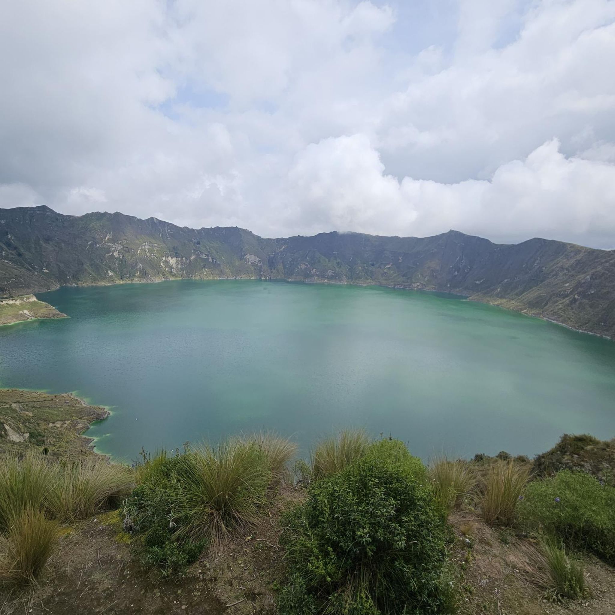
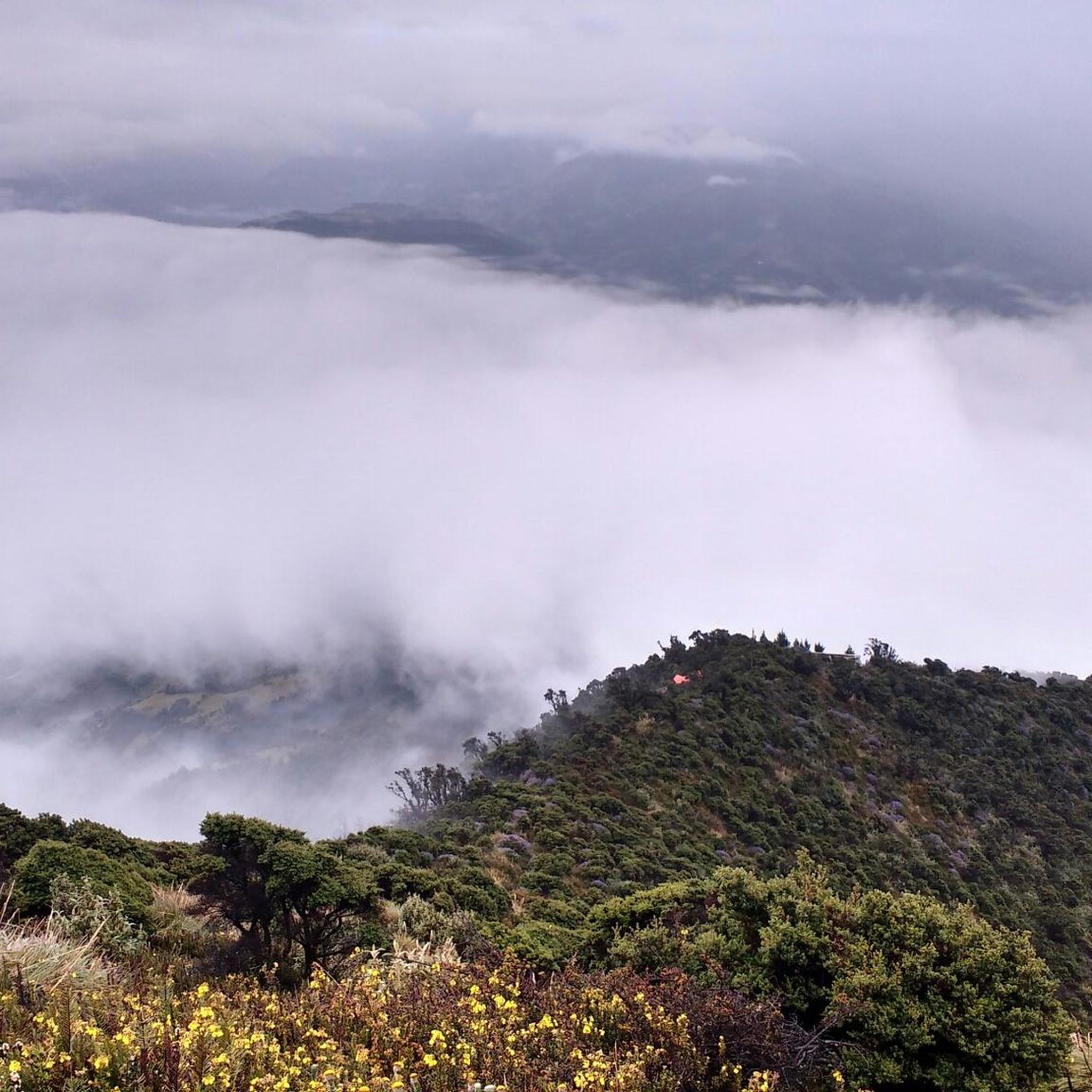
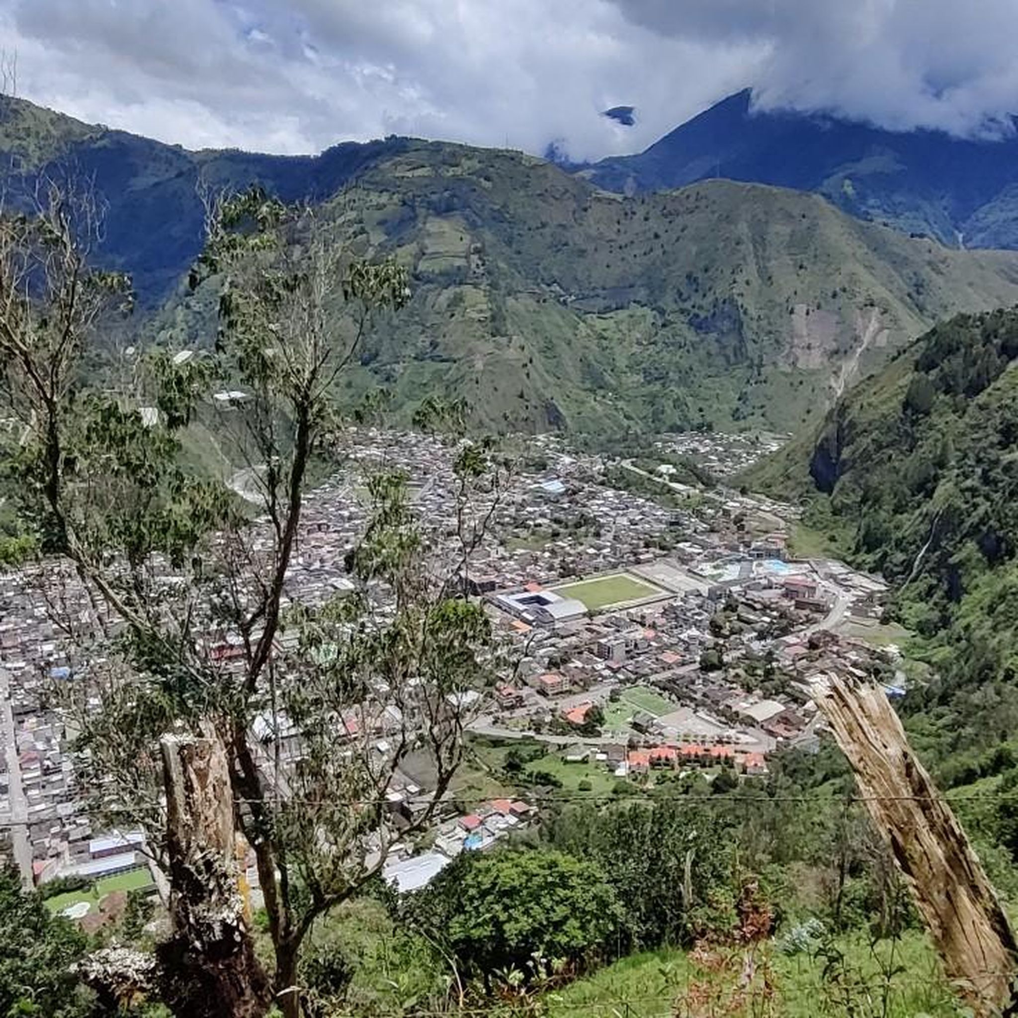
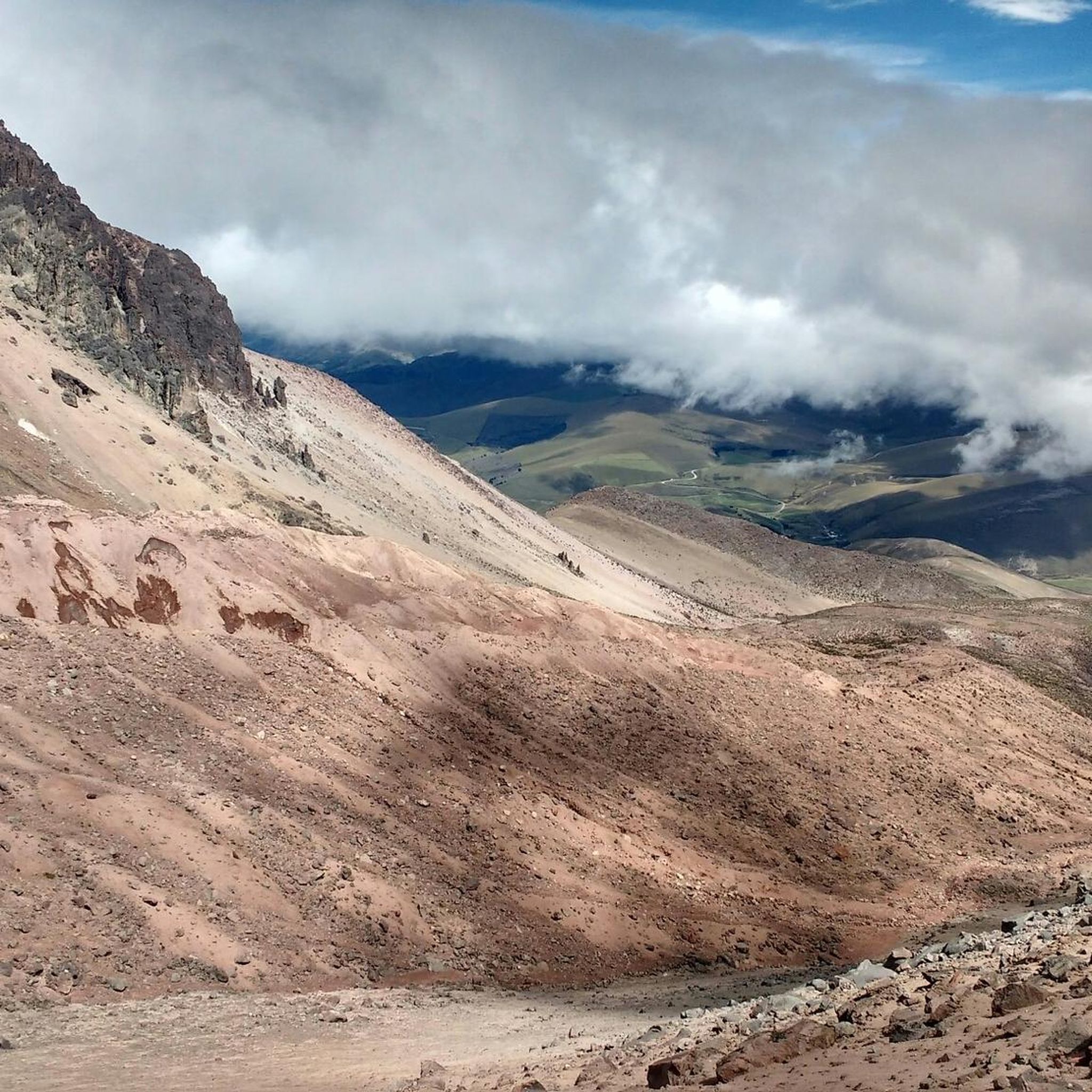
Tips from the Community

Refugio Carrel refuge at 4800 meters on volcan Chimborazo, in case of strong winds an excellent alternative to the tent. 30USD per dorm bed with dinner and breakfast
0
0


There is a road from the visitor center to the Carrell cabin. Of course, you can also run and take in the fantastic landscape at icy heights. You notice the height of 4800 m with every step.
0
0
In the late afternoon with a clear sky, the panorama is overwhelming. Unfortunately, it doesn't work very often and I needed several attempts myself.
0
0
Frequently Asked Questions
What is the typical difficulty level for mountaineering routes in Tungurahua?
Mountaineering routes in Tungurahua are generally considered difficult. The region's challenging ascents through diverse high-altitude landscapes require good physical fitness and prior mountaineering experience. For example, the Summit of Chimborazo Volcano loop from Chimborazo base camp is rated as difficult.
How long do mountaineering routes in Tungurahua usually take to complete?
The duration of mountaineering routes in Tungurahua varies depending on the specific trail and your pace. For instance, the Summit of Chimborazo Volcano loop from Chimborazo base camp typically takes around 5 hours 31 minutes, while the longer Summit of Chimborazo Volcano – Hermanos Carrel Refuge loop from Refugio Carrel can take approximately 8 hours.
When is the best time to climb Tungurahua, considering its active nature?
Climbs on Tungurahua are only possible when the volcanic activity level is yellow or lower, as it is an active stratovolcano. It's crucial to check current conditions and local advisories before planning your ascent. Generally, the dry season (June to September and December to February) offers more stable weather, but conditions can change rapidly at high altitudes.
What kind of landscapes and natural features will I encounter on a mountaineering route in Tungurahua?
Mountaineering in Tungurahua offers a remarkable journey through diverse ecosystems. You'll typically start in lush, humid cloud forests, transition to high-altitude páramo grasslands, and eventually reach sandy and scree terrains near the summits. On clear days, the panoramic views from higher elevations include other prominent Andean volcanoes like Cotopaxi and Chimborazo, and even the Amazon Jungle to the east.
Are there any circular mountaineering routes available in Tungurahua?
Yes, there are several circular routes for mountaineering in Tungurahua. An example is the Carihuairazo loop from Laguna Paila Cocha, which leads through high-altitude landscapes and past the scenic Laguna Paila Cocha. Another option is the Refugio Whymper loop from Refugio Carrel.
What essential gear should I bring for mountaineering in Tungurahua?
Given the challenging nature and high altitudes of Tungurahua's routes, essential gear includes appropriate mountaineering boots, warm layers (including waterproof and windproof outer shells), gloves, a hat, sunglasses, sunscreen, and a headlamp. Depending on the specific route and conditions, ice axes, crampons, and ropes may also be necessary. Always prepare for varied weather, from cold and windy at higher elevations to potentially humid at lower altitudes.
What do other mountaineers enjoy most about the routes in Tungurahua?
The komoot community highly rates the mountaineering routes in Tungurahua, with an average score of 5.0 stars. Reviewers often praise the challenging ascents, the unique experience of climbing an active volcano, and the breathtaking panoramic views of the Ecuadorian Andes and Amazon Jungle from the summits.
Are there any notable natural attractions or landmarks near the mountaineering trails?
Yes, the region around Tungurahua, particularly near Baños, is rich in natural attractions. You can find stunning waterfalls like the Pailón del Diablo Waterfall, Agoyán Waterfall, and Manto de la Novia Waterfall. There's also the popular viewpoint La Casa del Árbol, offering unique perspectives of the volcano.
Can I find accommodation or places to eat near the trailheads in Tungurahua?
The town of Baños de Agua Santa, often considered the 'gateway to the Amazon,' is a popular base for exploring the Tungurahua region. It offers a variety of accommodation options, cafes, pubs, and restaurants catering to outdoor enthusiasts. Many trailheads are accessible from or near Baños, making it a convenient hub for pre- and post-climb activities.
What are the typical weather conditions for mountaineering in Tungurahua?
Weather conditions in Tungurahua can be highly varied due to its diverse ecosystems and proximity to the Amazon basin. Lower elevations can be hot and humid, while higher up, you should expect cold, windy, and potentially wet conditions. Rapid changes in weather are common, so it's essential to be prepared for all eventualities, including fog and rain, even during the dry season.
Are there options for less crowded mountaineering experiences in Tungurahua?
While some routes, especially those leading to popular refuges, can see more traffic, the vastness of the Andes offers opportunities for less crowded experiences. Exploring routes that venture slightly off the most direct paths or climbing during off-peak seasons might provide a more solitary mountaineering adventure. Always consult local guides for current conditions and recommendations for quieter trails.
Most popular attractions in Tungurahua

Get inspired with the komoot mobile app


Explore more
Browse the best Mountain Hikes & Routes in other regions.
