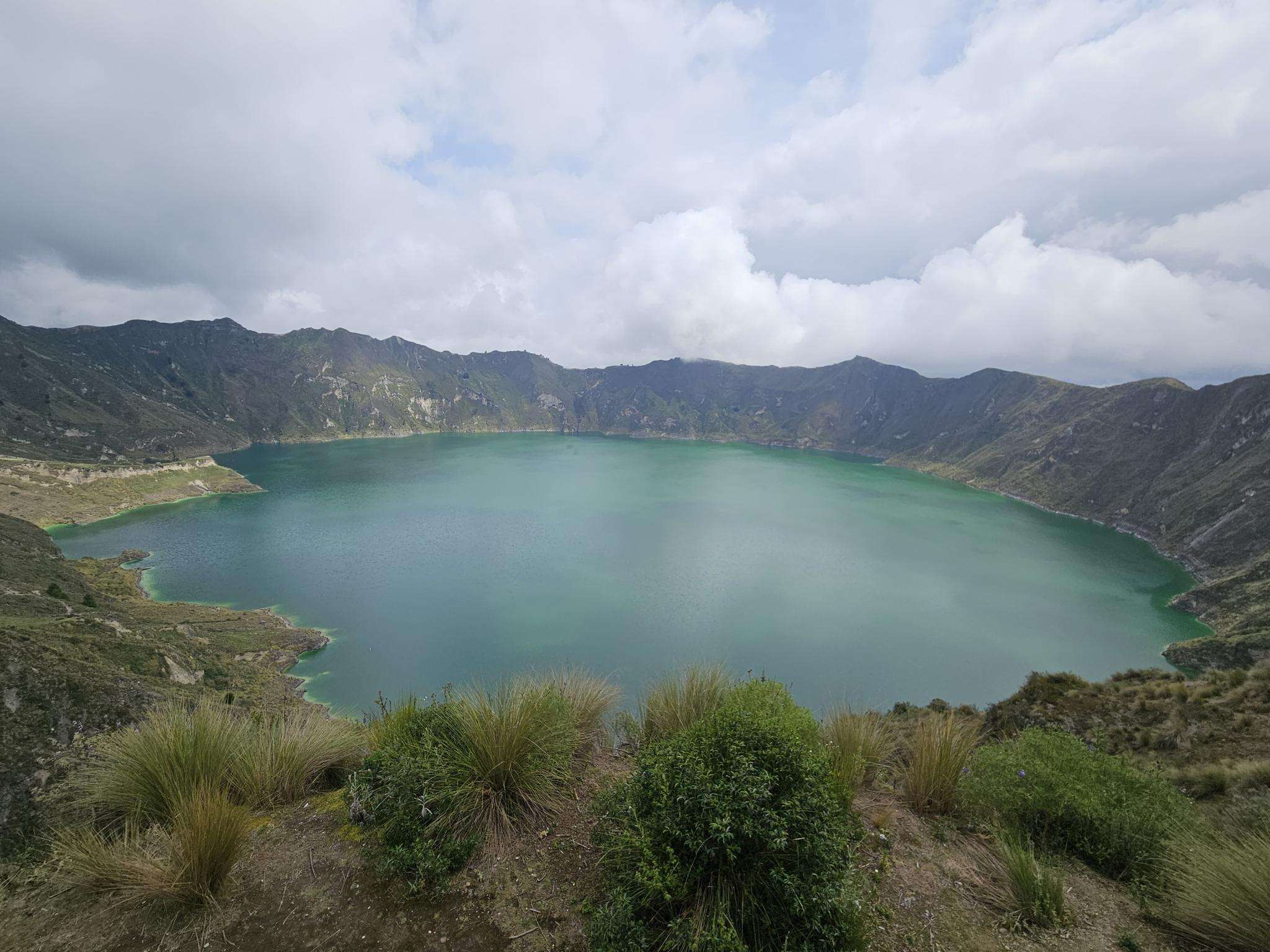
The best running trails in Tungurahua
4.9
(8)
370
runners
14
runs
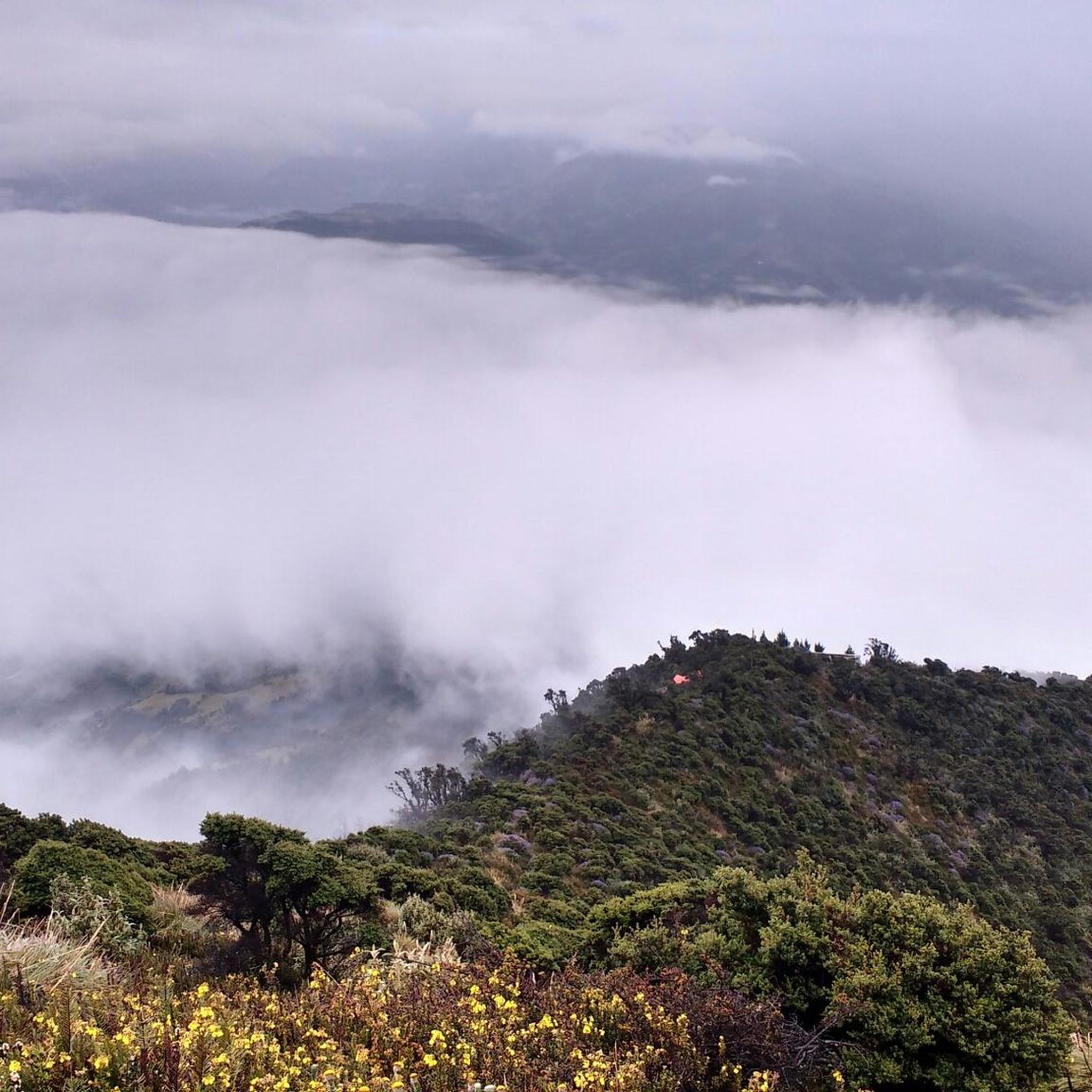
Jogging in Tungurahua offers diverse landscapes within Ecuador's central Andean region. The province is characterized by the active Tungurahua Volcano, providing challenging volcanic terrains and significant elevation changes. Routes often traverse Andean Cordillera valleys, passing by impressive waterfalls and rivers like the Pastaza, and through varied ecosystems including forests and high-altitude grasslands. This blend of natural features creates a dynamic environment for running.
Best jogging routes in Tungurahua
- The most popular jogging route is Monumento a la Virgen – Mirador…
Last updated: July 11, 2026
127
runners
21.5km
03:57
1,540m
1,540m
Hard run. Very good fitness required. Sure-footedness, sturdy shoes and alpine experience required.
5.0
(1)
83
runners
9.55km
01:45
740m
740m
Hard run. Very good fitness required. Mostly paved surfaces. Suitable for all skill levels.

Sign up for free
4.6
(5)
36
runners
7.55km
00:56
240m
240m
Moderate run. Good fitness required. Mostly paved surfaces. Suitable for all skill levels.
5.0
(1)
38
runners
8.36km
01:47
720m
720m
Hard run. Very good fitness required. Sure-footedness, sturdy shoes and alpine experience required.
11
runners
4.64km
00:55
380m
380m
Hard run. Very good fitness required. Sure-footedness, sturdy shoes and alpine experience required.
5.0
(1)
22
runners
32.9km
05:18
2,110m
2,110m
Hard run. Very good fitness required. Mostly paved surfaces. Suitable for all skill levels.
7
runners
6.46km
00:41
90m
90m
Moderate run. Good fitness required. Mostly paved surfaces. Suitable for all skill levels.
5
runners
10.1km
01:36
710m
710m
Hard run. Very good fitness required. Mostly paved surfaces. Suitable for all skill levels.
4
runners
10.6km
01:20
430m
430m
Hard run. Very good fitness required. Mostly paved surfaces. Suitable for all skill levels.
5
runners
6.06km
01:35
680m
680m
Hard run. Very good fitness required. Sure-footedness, sturdy shoes and alpine experience required.
Get access to more routes and recommendations from other explorers.
Sign up for free
Already have an account?
Our route recommendations are based on thousands of hikes, rides, and runs completed by other people on komoot.
Start today with a free account
Your next adventure awaits.
Login or Signup
Popular around Tungurahua






Frequently Asked Questions
How many running routes are available in Tungurahua?
Tungurahua offers a diverse selection of over a dozen running routes, catering to various fitness levels. The komoot community has explored 16 different trails in the region, with options ranging from moderate to difficult.
Are there any easy jogging routes in Tungurahua for beginners?
While many routes in Tungurahua feature significant elevation changes due to the Andean terrain, there are moderate options available. For example, the Mirador al Pastaza loop from Baños is a moderate 4.7-mile (7.6 km) trail that takes about an hour to complete, offering scenic views near the Pastaza River.
What kind of terrain can I expect on jogging trails in Tungurahua?
Jogging in Tungurahua means experiencing diverse landscapes. You'll encounter challenging volcanic terrains around the Tungurahua Volcano, trails through dense forests, mountainous paths, and routes traversing Andean Cordillera valleys. Many paths offer substantial elevation gain and panoramic views of the surrounding mountains and valleys.
Are there any running routes that feature waterfalls or impressive natural sights?
Absolutely! Tungurahua is renowned for its stunning waterfalls and natural monuments. While jogging, you might pass by areas with views of impressive waterfalls like the Pailón del Diablo Waterfall, Agoyán Waterfall, or Manto de la Novia Waterfall. The Pastaza River also carves dramatic canyons, adding to the scenic beauty.
What do other runners enjoy most about jogging in Tungurahua?
The running routes in Tungurahua are highly rated by the komoot community, with an average score of 4.9 stars. Runners often praise the breathtaking panoramic mountain views, the unique volcanic landscapes, and the challenging yet rewarding elevation gains that characterize the region's trails.
Are there any circular running routes available?
Yes, many of the popular running routes in Tungurahua are circular, allowing you to start and end in the same location. Examples include the challenging Monumento a la Virgen – Mirador del Baños loop from Ulba and the scenic Bench of Love loop from Pimienta.
Can I find routes with significant elevation gain for endurance training?
Tungurahua is an excellent destination for endurance training due to its mountainous Andean setting. Many routes feature substantial elevation gain. For instance, the Monumento a la Virgen – Mirador del Baños loop from Ulba involves over 1500 meters of ascent, providing a significant challenge.
Are there any viewpoints or landmarks to look out for along the running trails?
Yes, Tungurahua offers several rewarding viewpoints and landmarks. The La Casa del Árbol (The Tree House) with its famous 'Swing at the End of the World' provides breathtaking views of the Tungurahua volcano. Other viewpoints like Mirador de la Virgen and Mirador de la Cascada Manto de la Novia also offer spectacular vistas that can be incorporated into your runs.
What is the best time of year to go jogging in Tungurahua?
Tungurahua's climate is influenced by its Andean location. While jogging is possible year-round, the dry season (typically June to September) often offers clearer skies and more stable weather conditions, which can be ideal for enjoying the panoramic views and higher-altitude trails. However, the region's diverse ecosystems mean pleasant conditions can be found at different times depending on elevation and specific location.
Are there any long-distance running options in the region?
For those seeking longer distances, Tungurahua provides challenging routes. The Bench of Love loop from Baños, for example, is a difficult 32.9-kilometer (20.4 miles) path with over 2100 meters of elevation gain, making it suitable for experienced long-distance runners.
Is public transport available to access running routes in Tungurahua?
Baños de Agua Santa, a central hub in Tungurahua, is well-connected and serves as a popular starting point for exploring the region. Public transport options, such as buses, are generally available to reach various towns and trailheads, especially from larger cities like Ambato. It's advisable to check local schedules for specific routes.
Are there any running routes near the town of Baños de Agua Santa?
Baños de Agua Santa is an excellent base for runners. Several routes start directly from or near the town, offering easy access to the region's natural beauty. Popular options include the Mirador al Pastaza loop from Baños and the Monumento a la Virgen – Mirador del Baños loop from Baños.
Most popular attractions in Tungurahua

Get inspired with the komoot mobile app


Didn’t find what you were looking for?
Check out more Running Trails & Routes throughout Tungurahua below and find the perfect route in your destination.
Explore more
Browse the best Running Trails & Routes in other regions.
