The best walks and hikes in Tungurahua
5.0
(2)
34
hikers
3
hikes
Hiking in Tungurahua, Ecuador, is characterized by its mountainous terrain, dominated by the active Tungurahua volcano. The region features lush cloud forests, numerous waterfalls, and deeply carved river canyons, particularly around Baños. Trails often provide views of the Baños valley and glimpses of the Amazon jungle, showcasing varied ecosystems. The province also borders other impressive volcanoes, contributing to its scenic grandeur.
Best hiking trails in Tungurahua
- The most popular hiking route is Café Pailón del Diablo loop from Río Verde…
Last updated: July 11, 2026
14
hikers
1.58km
00:31
70m
70m
Easy hike. Great for any fitness level. Easily-accessible paths. Suitable for all skill levels.
5.0
(1)
13
hikers
Moderate hike. Good fitness required. Easily-accessible paths. Suitable for all skill levels.

Sign up for free
5.0
(1)
7
hikers
8.20km
02:28
250m
250m
Moderate hike. Good fitness required. Easily-accessible paths. Suitable for all skill levels.
Our route recommendations are based on thousands of hikes, rides, and runs completed by other people on komoot.
Start today with a free account
Your next adventure awaits.
Login or Signup
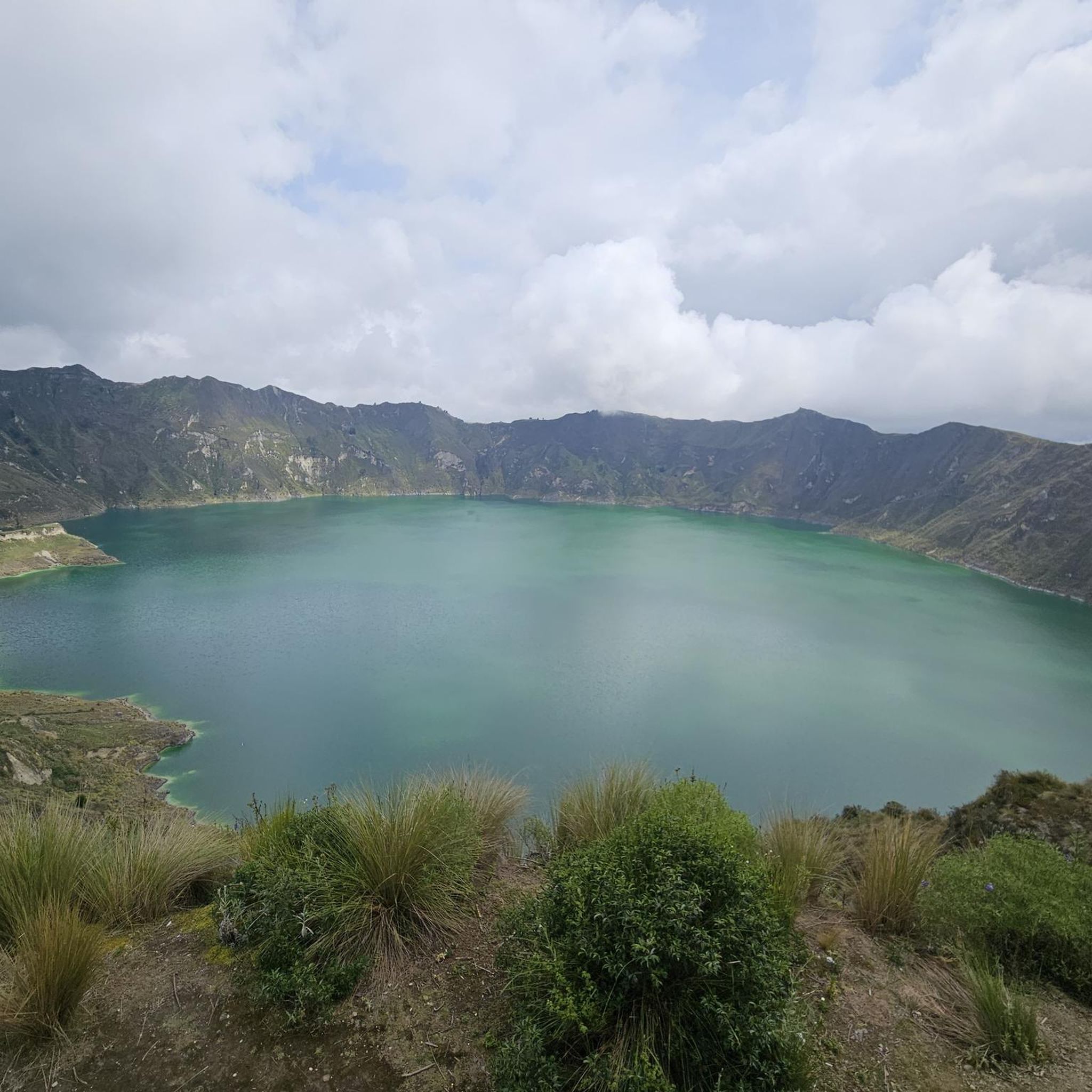
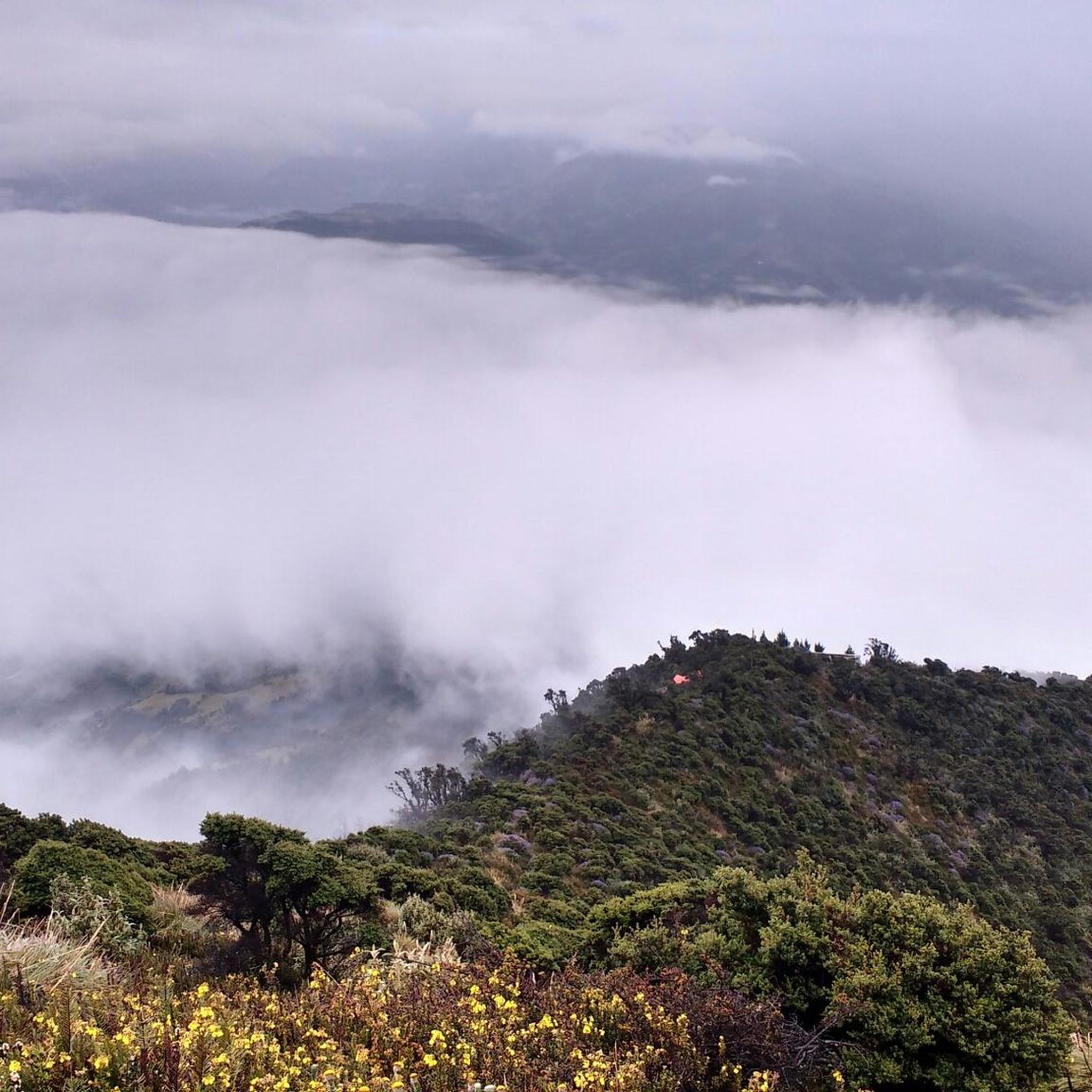
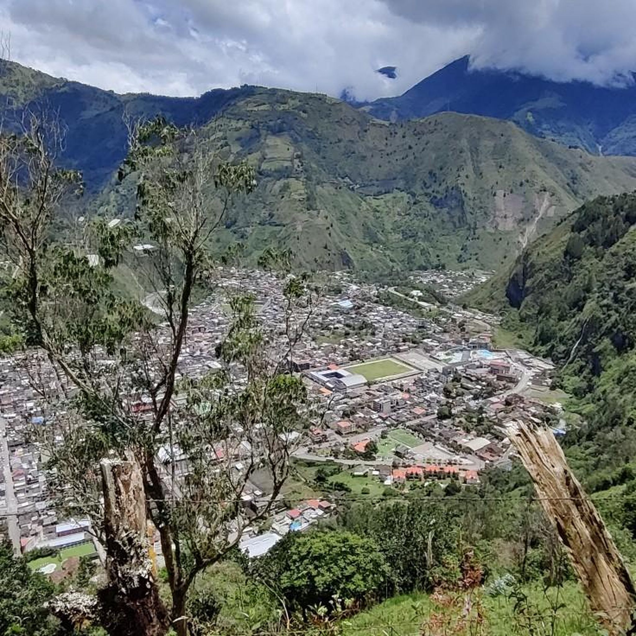
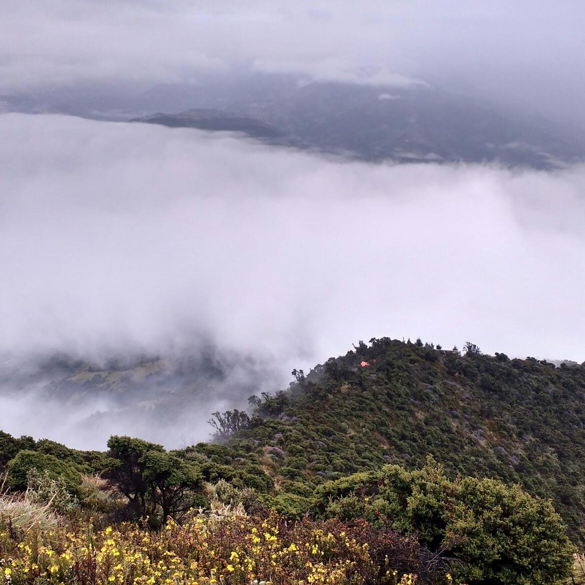

Tips from the Community

Wear appropriate and comfortable clothing, remember to also bring hot water
0
0

Refugio Carrel refuge at 4800 meters on volcan Chimborazo, in case of strong winds an excellent alternative to the tent. 30USD per dorm bed with dinner and breakfast
0
0

One of the most beautiful café ☕ places I have seen. 😍
0
0

Exhausting, in adverse conditions. Unfortunately had no view. But proud to have done it.
0
0

I think it's doable for everyone. It is important to find your own pace and take breaks from time to time. The path itself is not difficult. You should still wear appropriate footwear.
0
0

If you take this way down to the highway you are very likely to see herds of wild vicuñas!
0
0

The Gallo Rumi is a volcanic rock formation with prominent spiers that rise steeply, like the spiers of the Sagrada Familia in Barcelona, to rise again ornate there.
0
0
A place worth visiting, little frequented by tourists thanks to its distance from the car park. It goes steeply up into the dark dungeon, the highest point of which is a memorial for a long-dead chief of the local indigenous people. The stillness of the place is broken by the wing movement of the hummingbirds nesting in cracks here.
0
0
Frequently Asked Questions
How many hiking trails are available in Tungurahua?
Tungurahua offers a diverse range of hiking experiences, with over 3 routes documented on komoot. These include options from easy strolls to more challenging ascents, catering to various skill levels.
What kind of terrain can I expect on hikes in Tungurahua?
Hiking in Tungurahua features highly varied terrain, from lush cloud forests and deeply carved river canyons to active volcanic landscapes. You'll encounter trails that provide views of the Baños valley and glimpses of the Amazon jungle, showcasing a dramatic transition in ecosystems.
Are there any easy or family-friendly hiking options in Tungurahua?
Yes, Tungurahua has options suitable for beginners and families. An easy route is the Café Pailón del Diablo loop from Río Verde, which is only 1.0 mile (1.6 km) and leads to the impressive Pailón del Diablo waterfall, making it a great short adventure.
What is the best time of year to go hiking in Tungurahua?
The region experiences varied weather due to its mountainous and volcanic nature. Generally, the drier months are often preferred for hiking, but conditions can change rapidly. It's always advisable to check local weather forecasts before heading out.
Are there any circular hiking routes in Tungurahua?
Yes, several routes in Tungurahua are circular. For example, the Machay Temple Cave – View of Mount Chimborazo loop from Casa Condor is a moderate 6.7-mile (10.8 km) loop that offers views of Mount Chimborazo and traverses cloud forest environments. Another is the Hermanos Carrel Refuge – Machay Temple Cave loop from Refugio Carrel, a 5.0-mile (8.0 km) loop through volcanic landscapes.
What natural landmarks or attractions can I see along the hiking trails?
Tungurahua is rich in natural attractions. You can explore spectacular waterfalls like the Pailón del Diablo Waterfall, Agoyán Waterfall, and Machay Waterfall. The region is also home to the famous La Casa del Árbol, known for its 'Swing at the End of the World' with unparalleled views of the Tungurahua volcano.
Are there any trails that offer views of the Tungurahua volcano?
Many trails in the region offer views of the active Tungurahua volcano. While some routes lead to its refuge, others, like the area around La Casa del Árbol, provide excellent vantage points to admire the volcano from a safe distance.
What do other hikers enjoy most about hiking in Tungurahua?
The area is highly rated by the komoot community, with an average score of 5.0 stars. Reviewers often praise the diverse landscapes, from cloud forests to volcanic terrain, and the spectacular waterfalls that are a highlight of many routes.
Are there opportunities for wildlife spotting in Tungurahua?
Yes, the region's rich biodiversity, particularly in areas like Sangay National Park, offers opportunities to spot various avian species, including hawks and hummingbirds. The dense cloud forests provide a habitat for diverse flora and fauna.
Is public transport or parking available for trail access?
The town of Baños de Agua Santa serves as a primary gateway to many outdoor activities. While specific parking and public transport details vary by trailhead, Baños is well-connected and often provides access points or transport options to popular hiking areas like the Ruta de las Cascadas.
Are permits required for hiking in Tungurahua?
For general hiking trails, permits are not typically required. However, for more challenging ascents, especially to the Tungurahua volcano's refuge or summit, or within protected areas like Sangay National Park, specific regulations or permits might apply. It's best to check with local authorities or guide services for the most current information on specific routes.
Most popular attractions in Tungurahua

Get inspired with the komoot mobile app


Explore more
Browse the best Hikes in other regions.
